
Weather
- Air Temp
- 25
- Cloud Cover
- scattered
- Snow Avail For Transport
- none
A window of clear skies allowed for visibility into Crawford Notch. At noon clouds dropped snow started lightly and began to increase in intensity as visibility became obscured. Strong winds were consistent through the time spent.
Snowpack
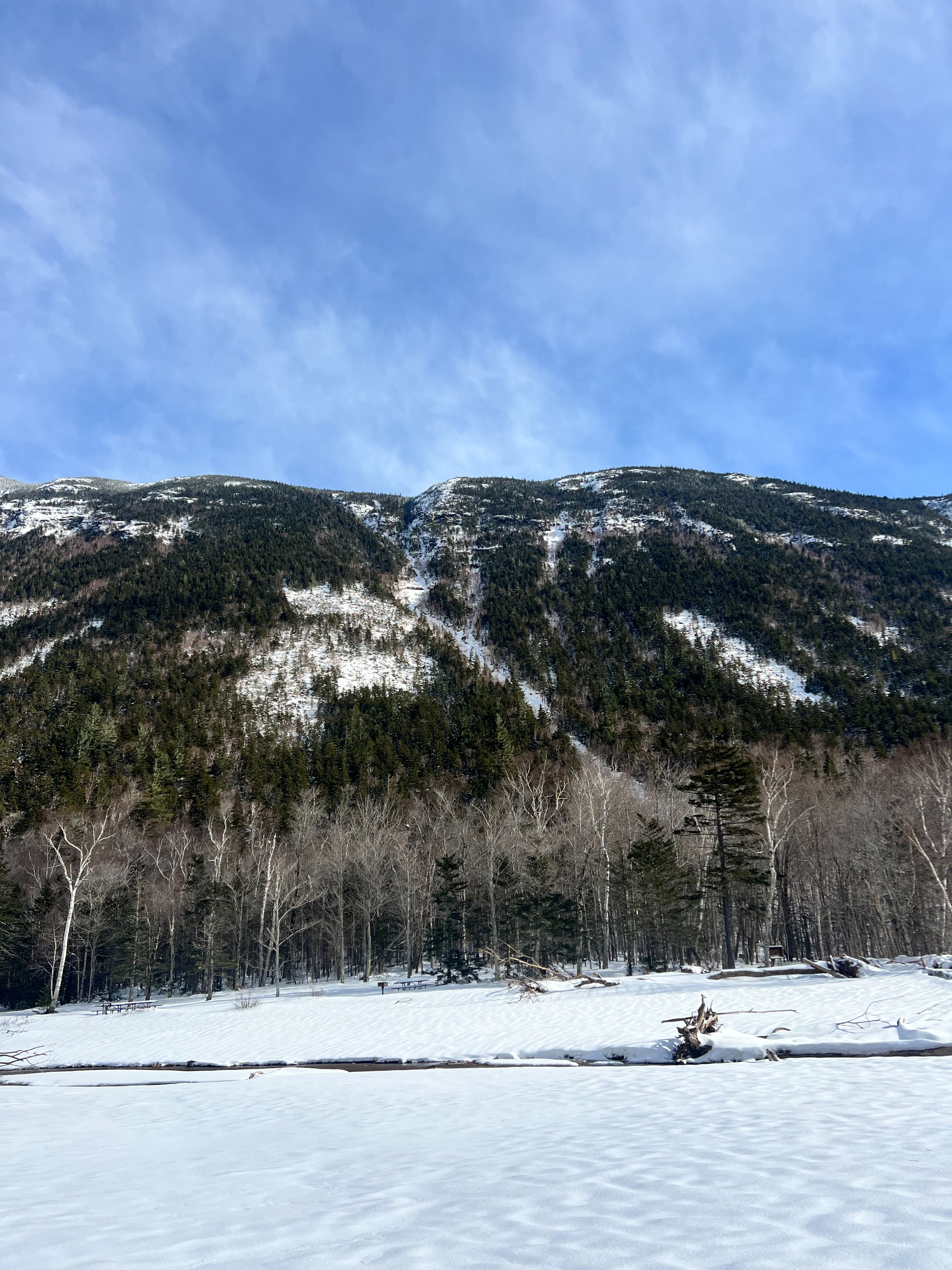
Spent time in Crawford Notch to assess the state of the snowpack at lower elevations and look to see the effect of mixed precipitation.
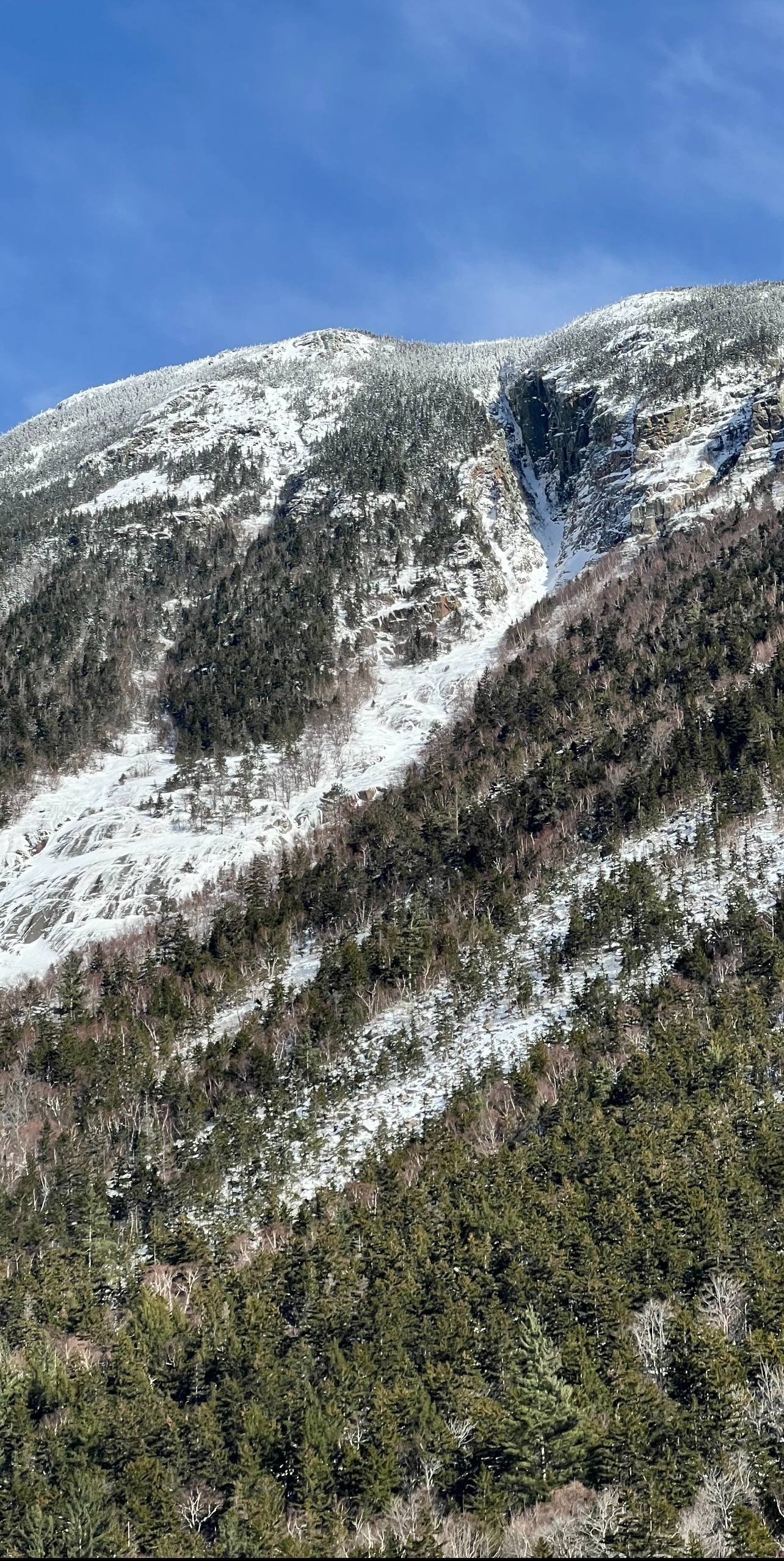
Found very little evidence of avalanche activity. Noted what looked like a small pile of debris in the upper third of Central, but with strong winds moving the trace amount of surface snow it was hard to get a clear look.
There were no evident crownlines, however the surface appeared thin, rocky, and icy in the upper sections. Knowing that there was snow before lower elevations transitioned to rain, it is possible that there was wet avalanche activity. There were also hours of very strong west winds that also could be responsible for scouring exposed places.
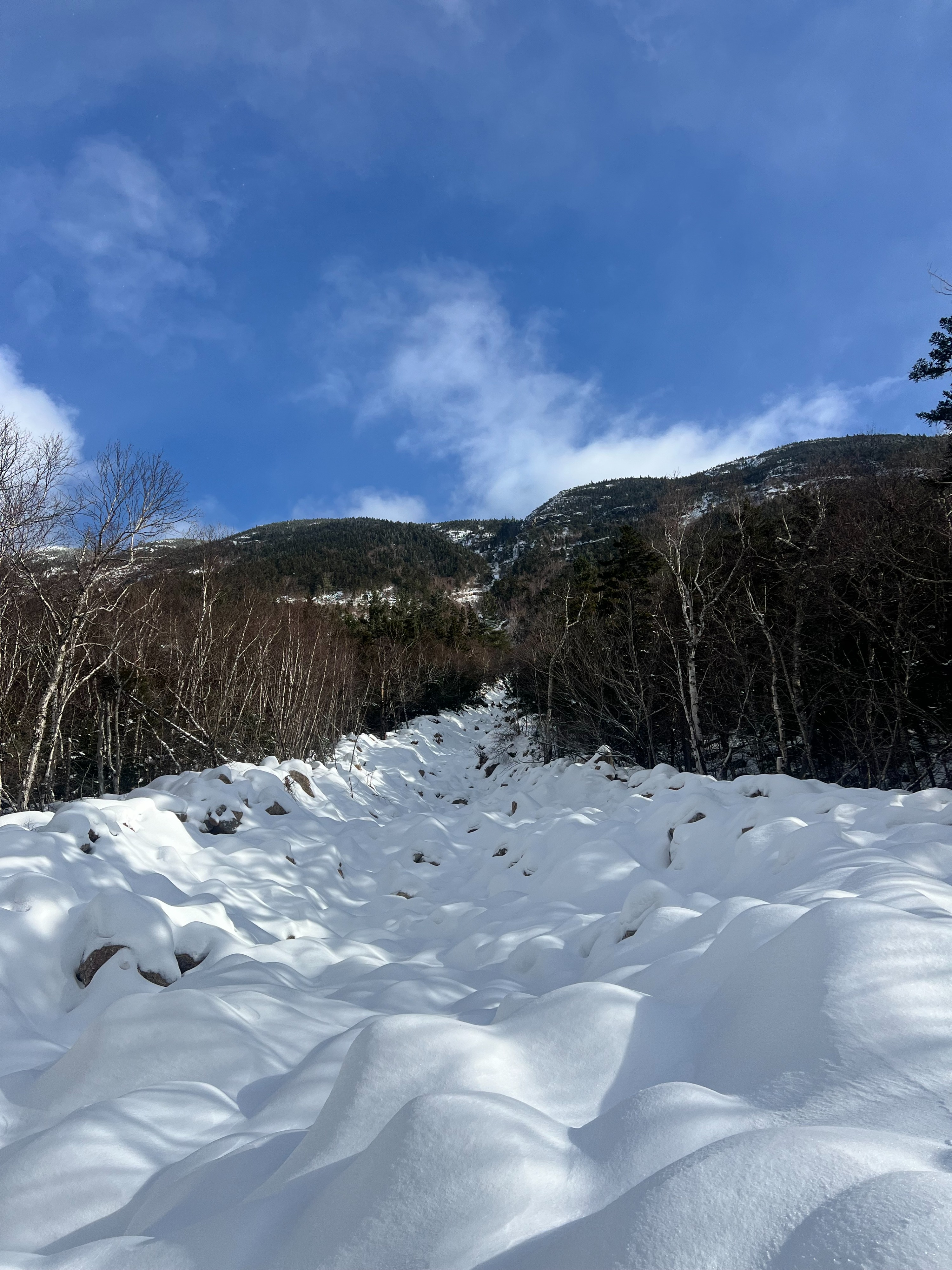
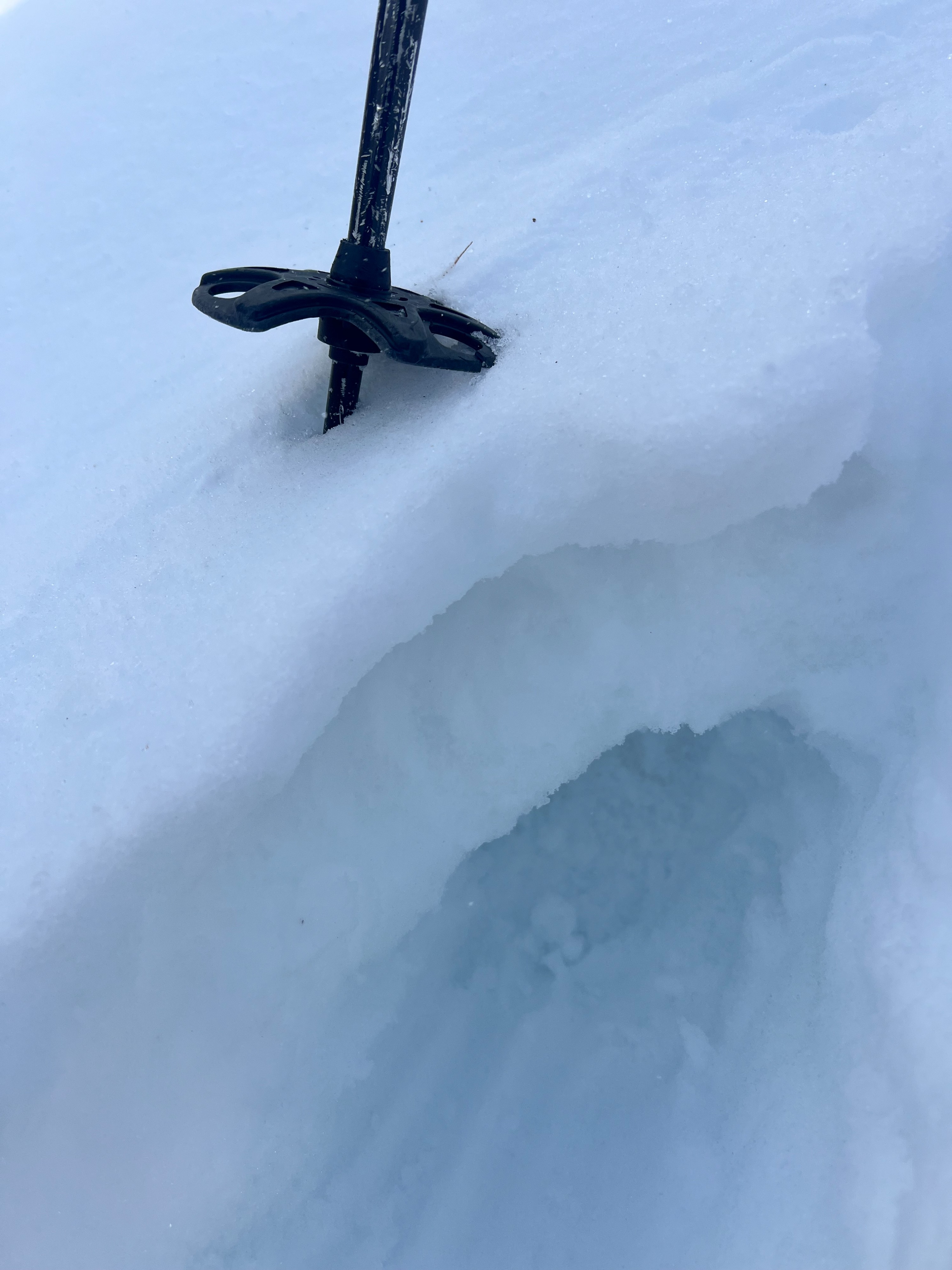
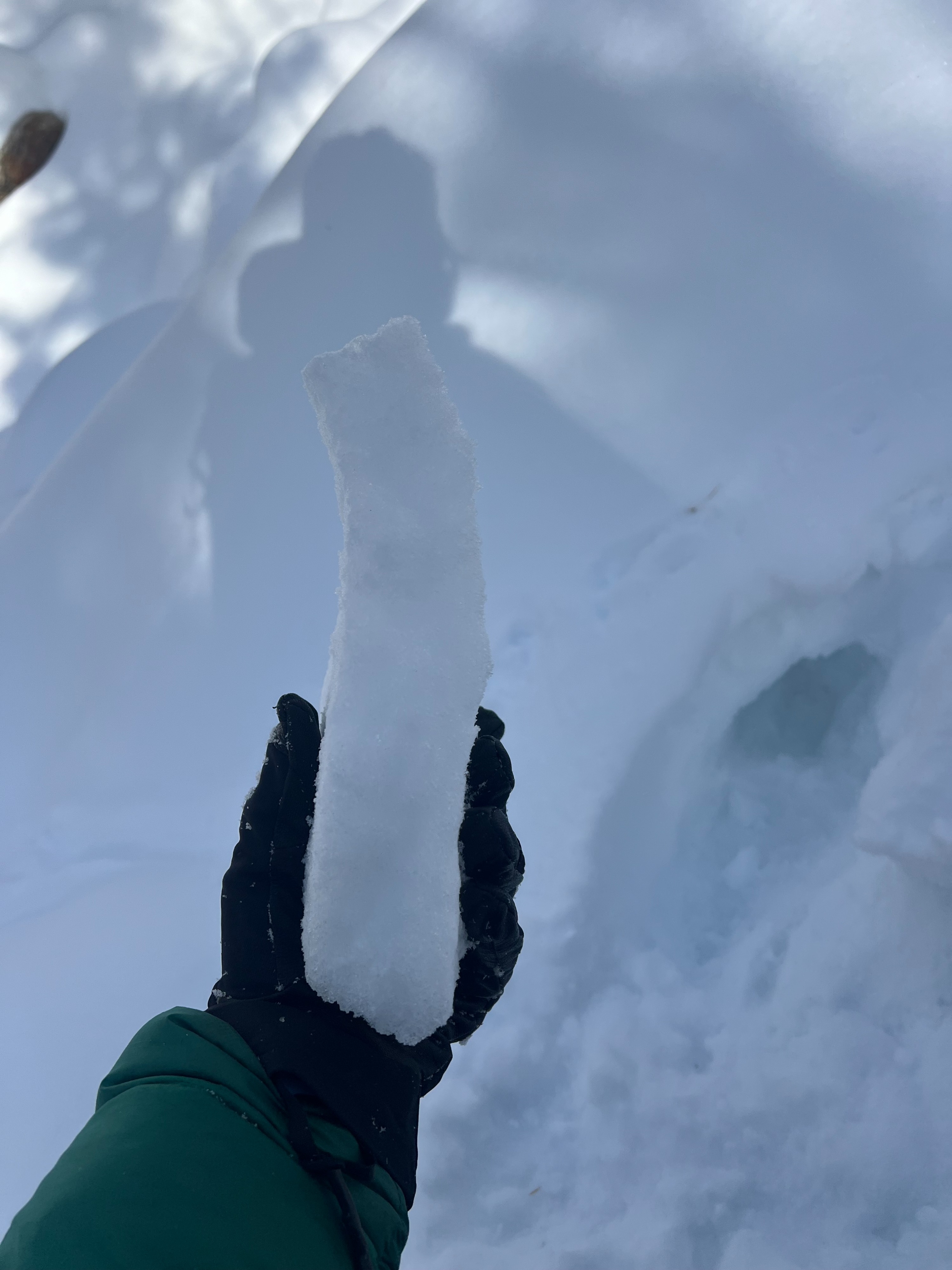
Took a closer look into Landslide Gully to see if there was any debris in the bottom runout of the gully, which I did not find. Found a widespread crust that was 1.5-2 inches thick with dry, unconsolidated snow underneath. The dry snow ranged 2-6 inches in depth (isolated pockets were closer to 8 inches) this was on top of the old melt/freeze crust. It seemed like a lot of the water drained through this crust in areas that were observed. The crust seems to be disintegrating and breaking down, initial hardness 4F+/1F- but as it stayed exposed to air it became firmer again.The snow underneath was slightly moist and firm to the touch, 1F in hardness and this largely was consistent to the ground. Snowdepths were shallow (2-3 feet) and seemed even across the terrain.