
Quick report
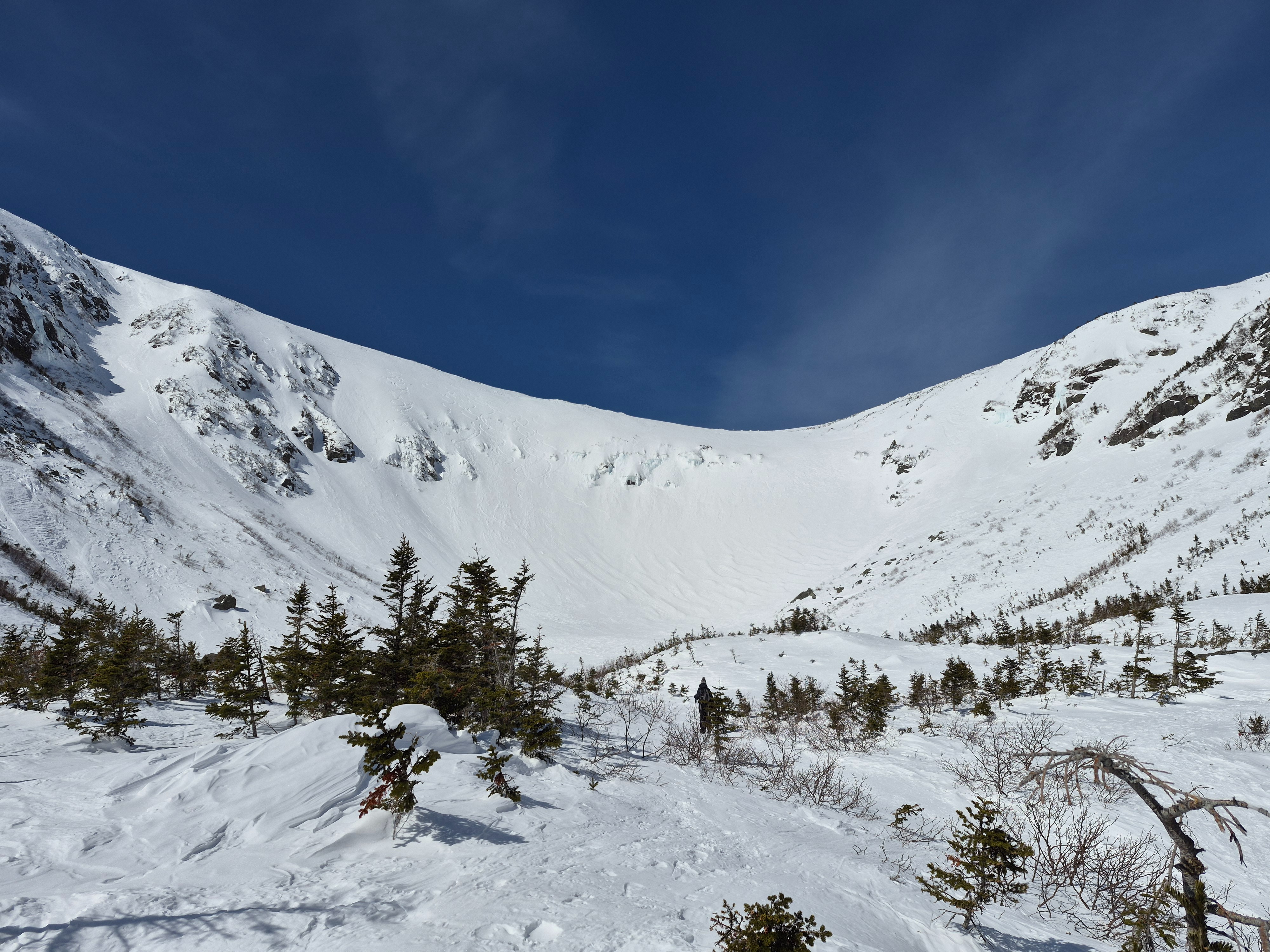
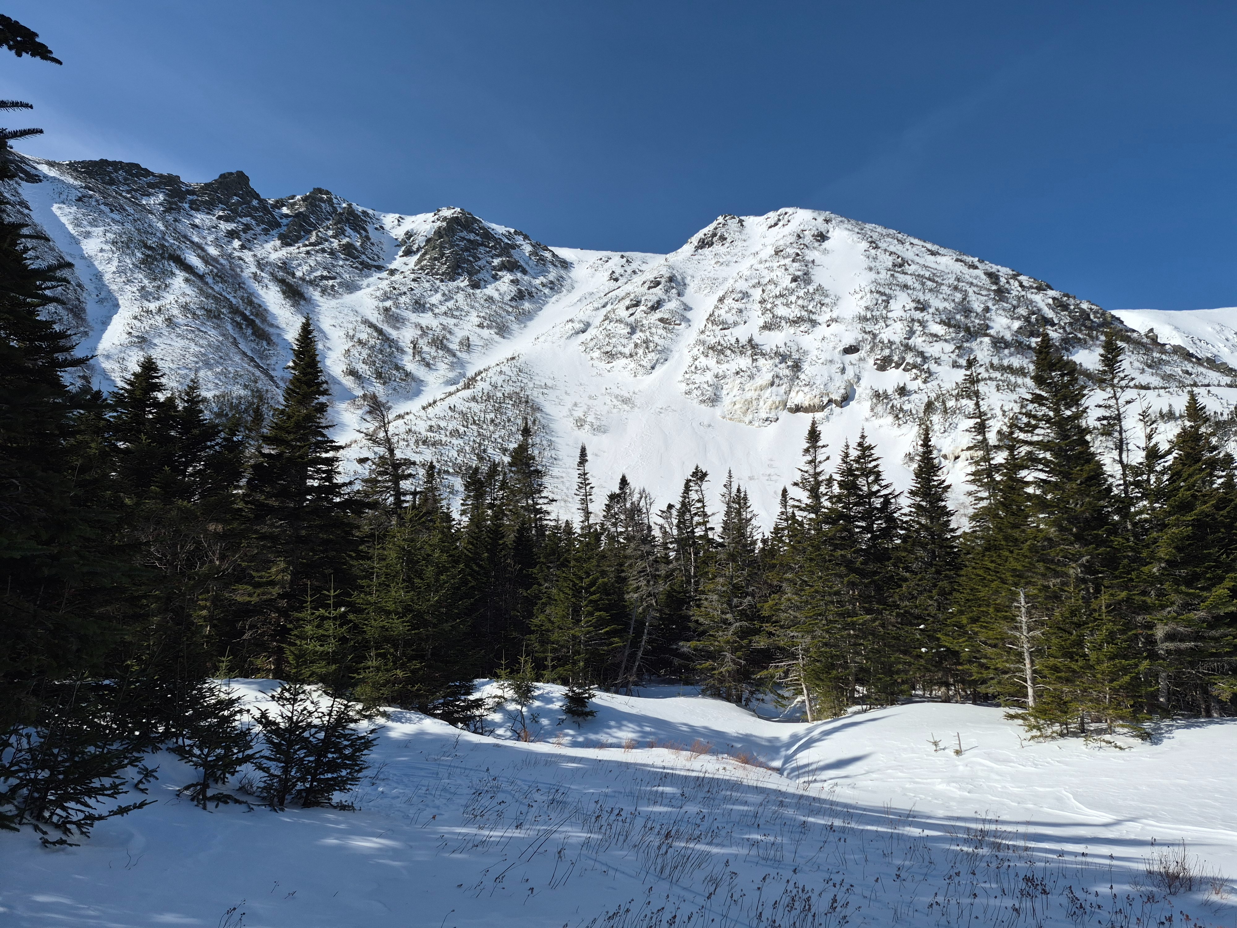
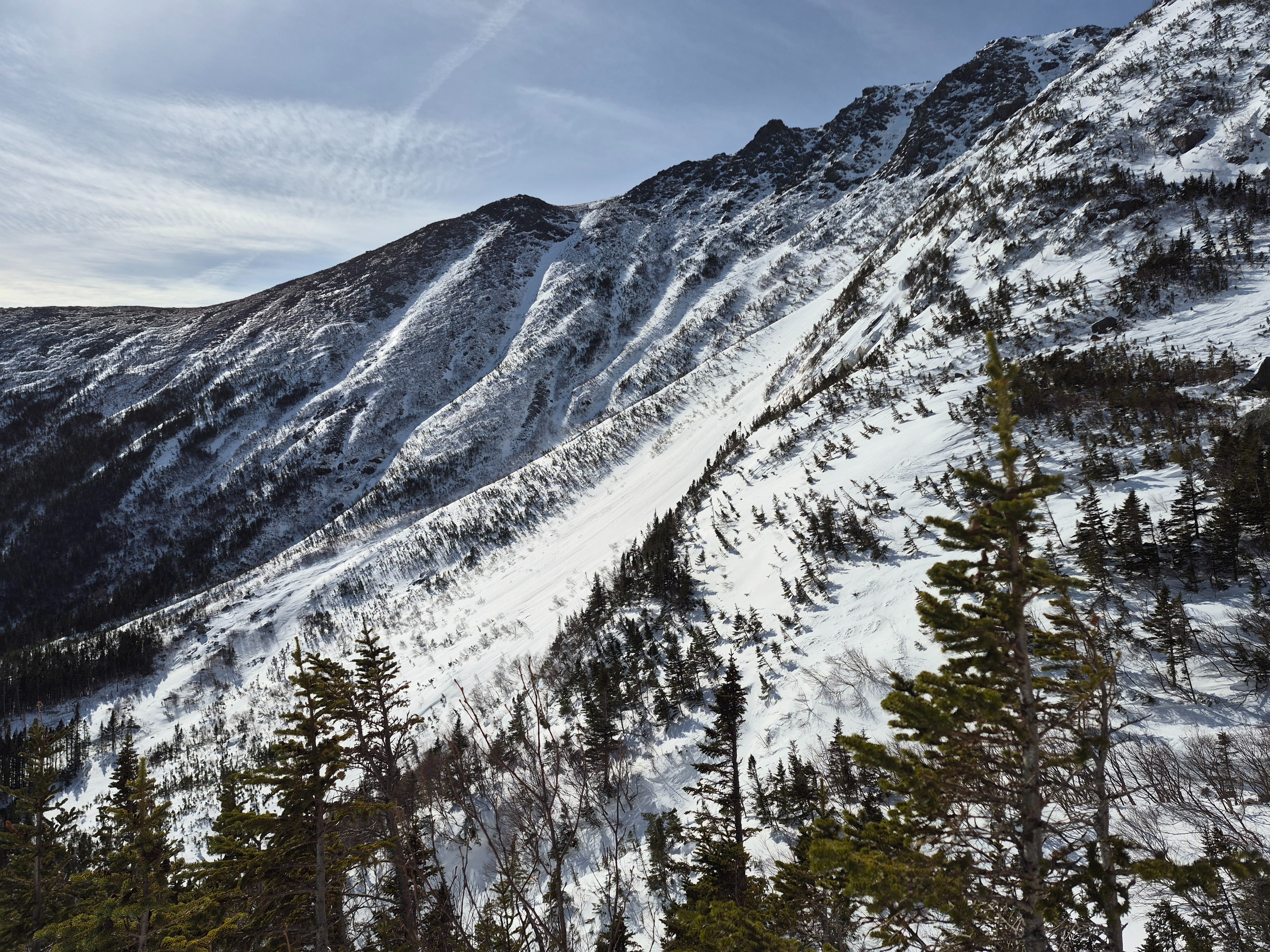
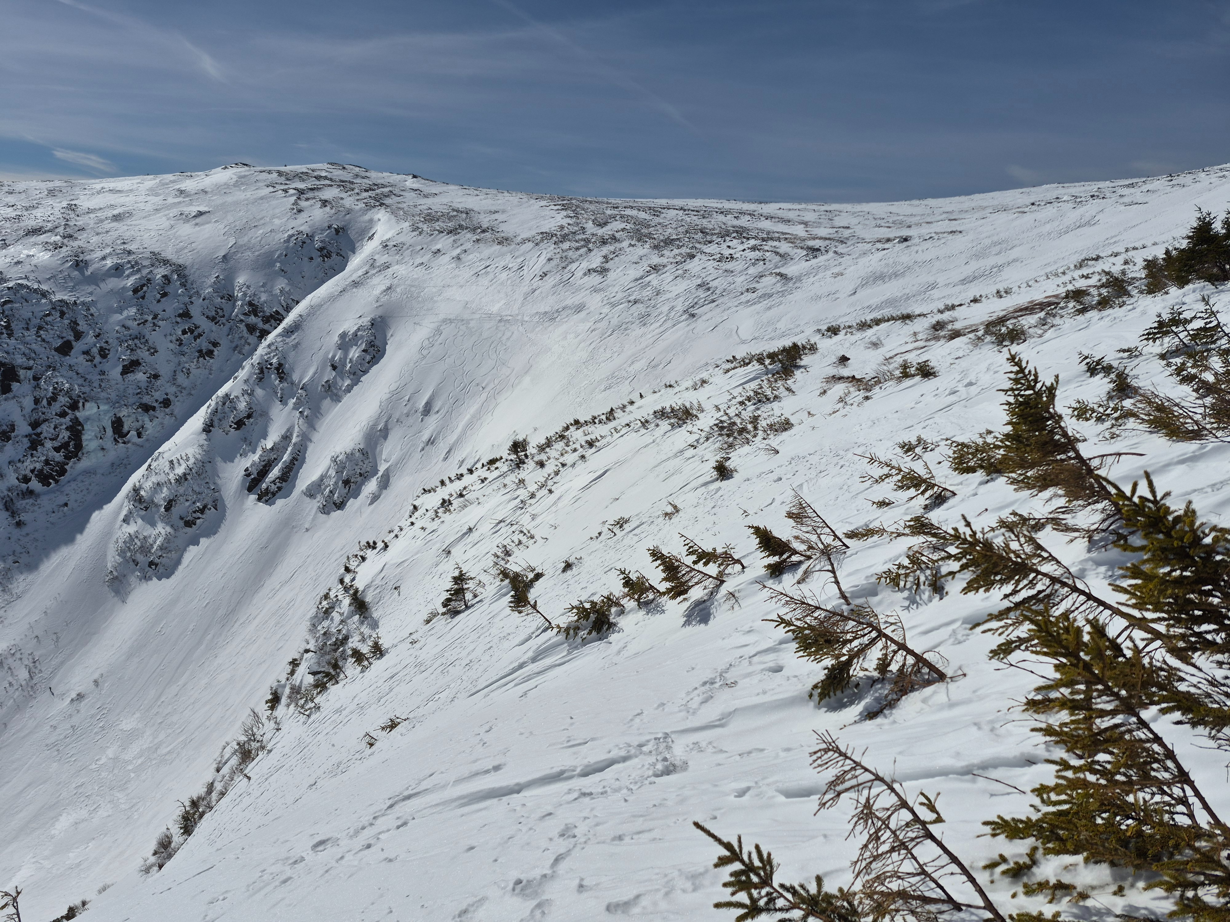
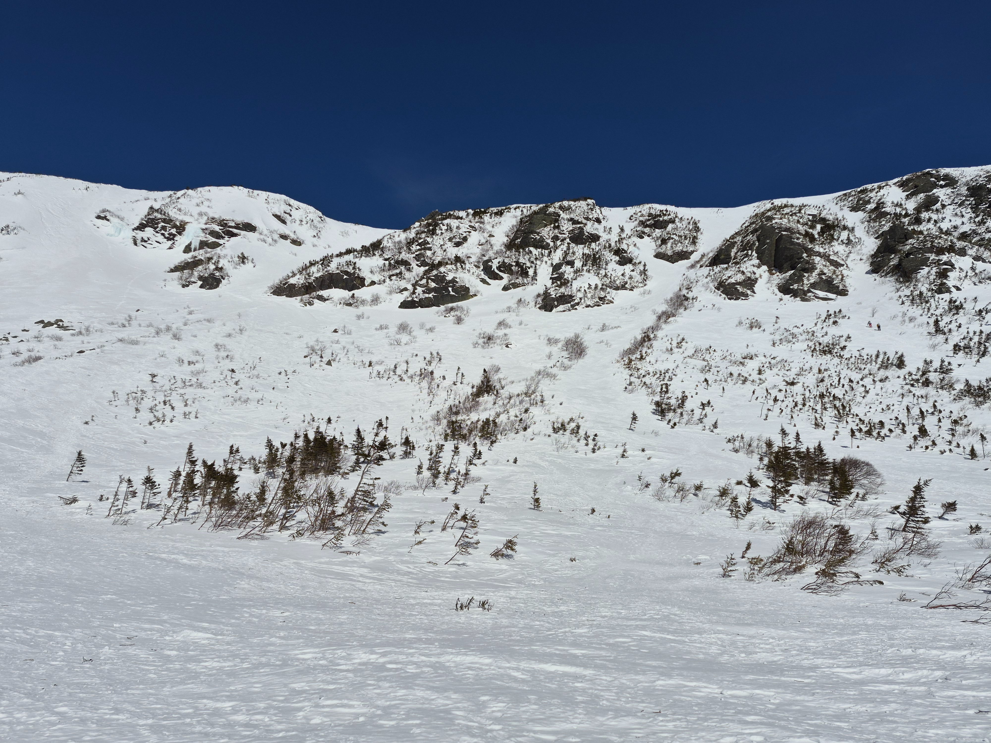
We hiked into the ravine to evaluate sites for gathering wind data for a study. Seeing as wind speeds are a major driver of avalanche problems in the MWAC forecast area, we are interested in getting additional information about the difference between actual and summit recorded wind speed and direction for various areas of the ravine. Despite fairly consistent winds at the summit today out of the west, winds were expectedly very different at various elevations. We recorded wind speeds with hand-held anemometer at about a meter above the snow. Speeds relative to the summit were similar between the connection cache and the ridge near the start zones. Wind speeds recorded with a were ranged between 25-40% of summit recorded speeds during the same time frame. Hopefully more info and data on this to come!
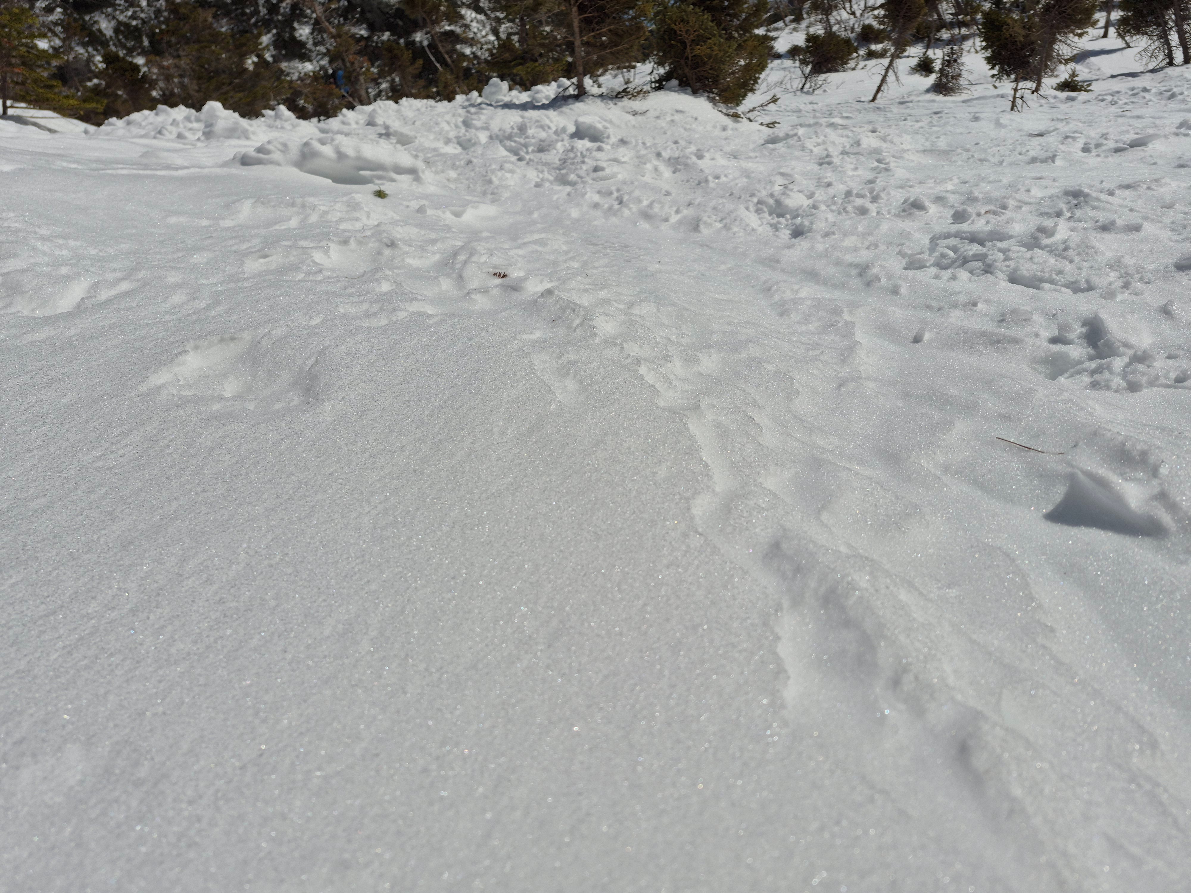
In our travels to wind reading locations we found thin solar MF crust forming on southerly aspects at 3700ft and soft but supportable (minimal boot penetration) and edgable surfaces from Hermit Lake to the Alpine Garden.
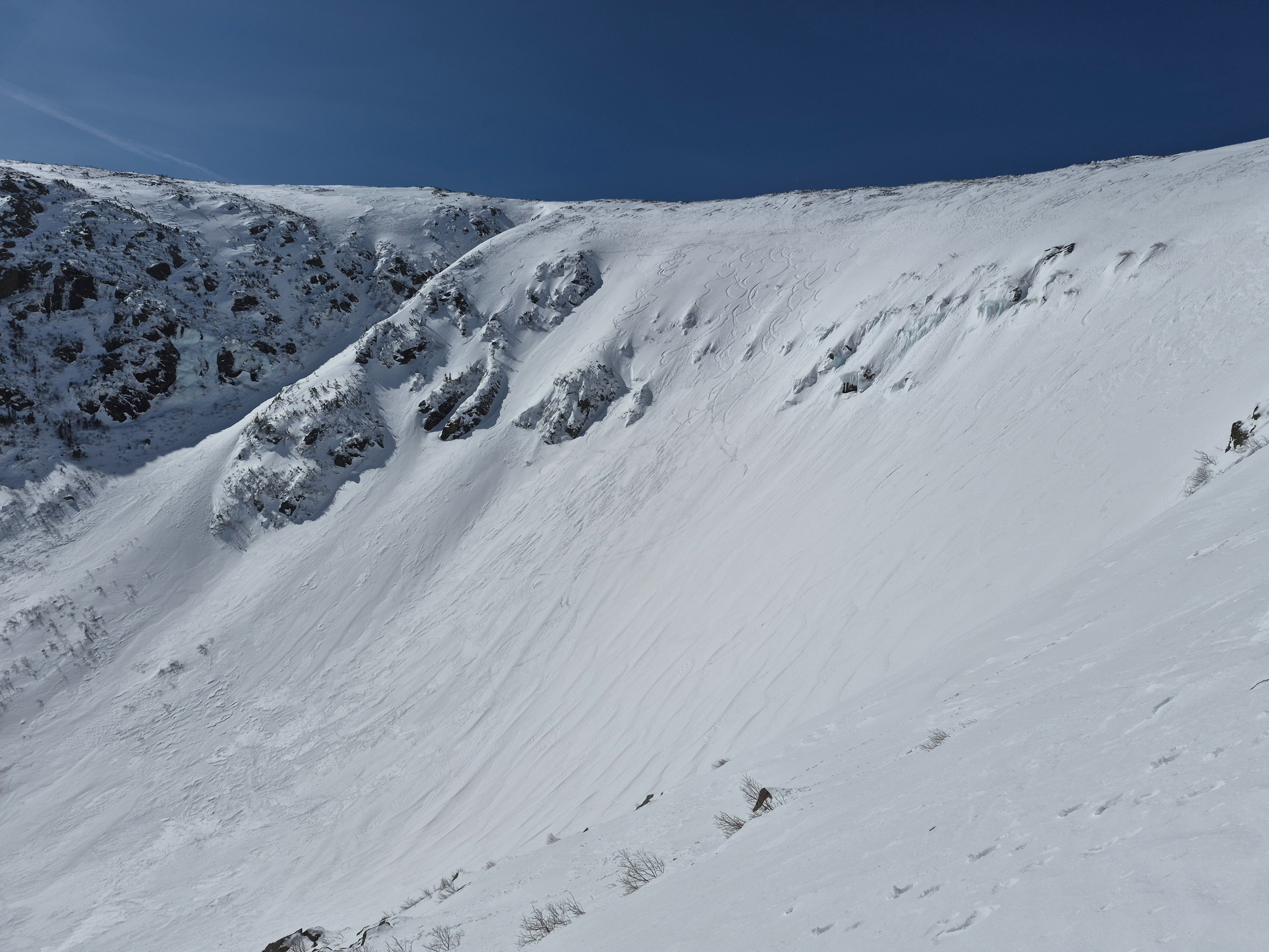
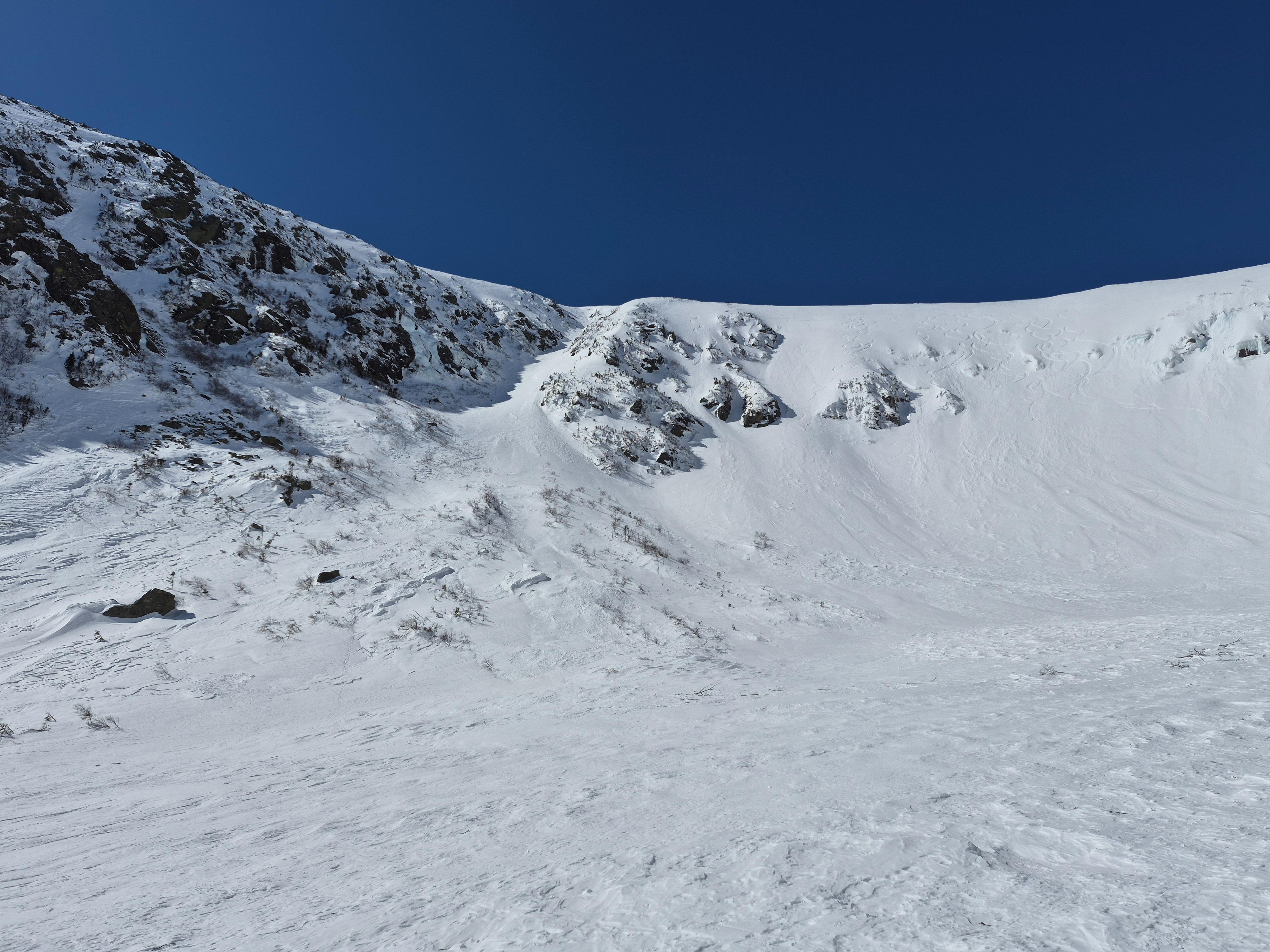
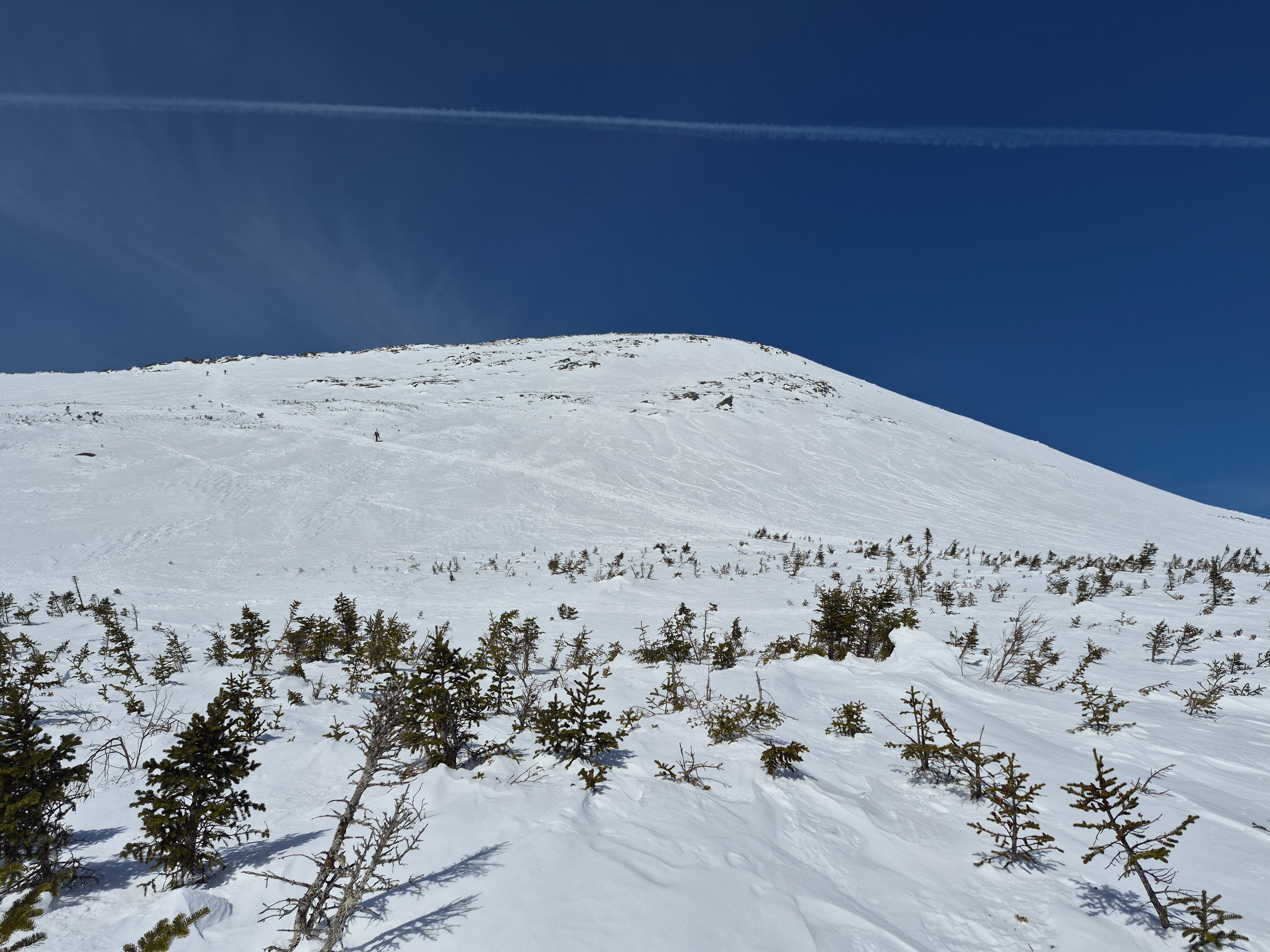
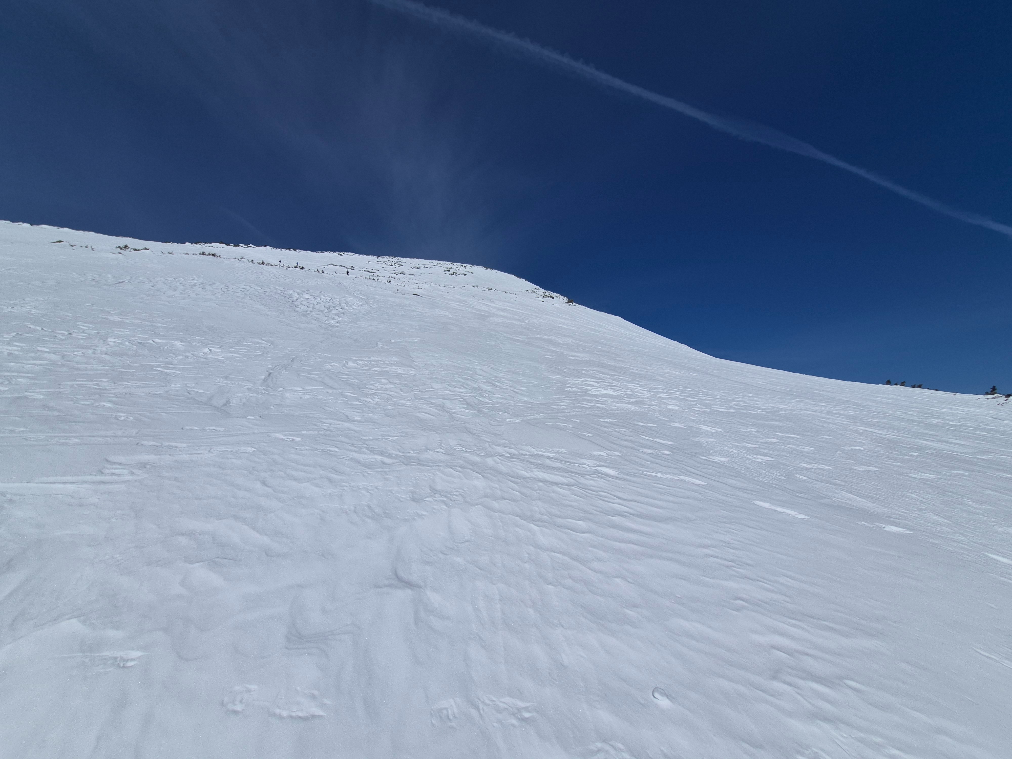
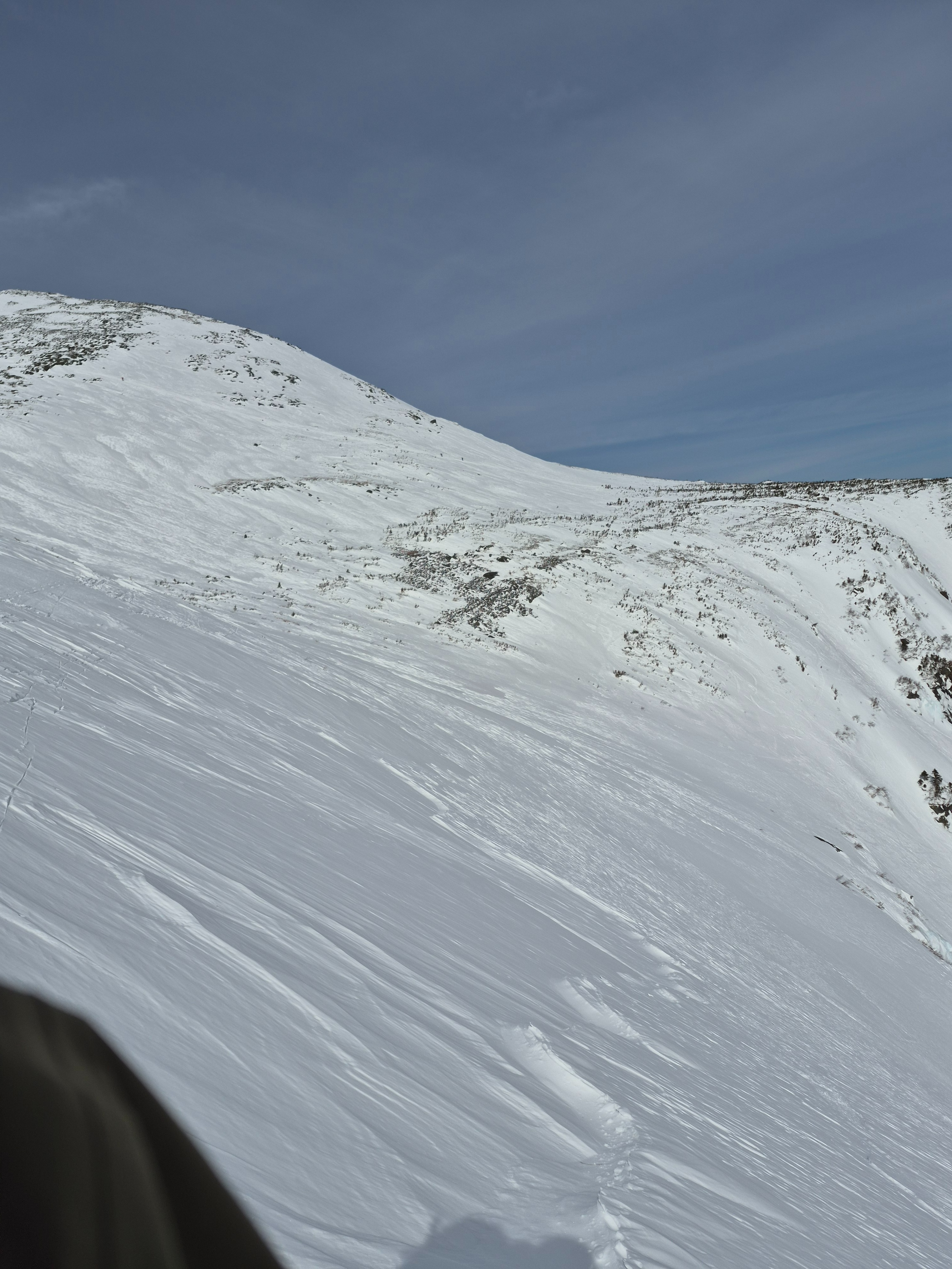
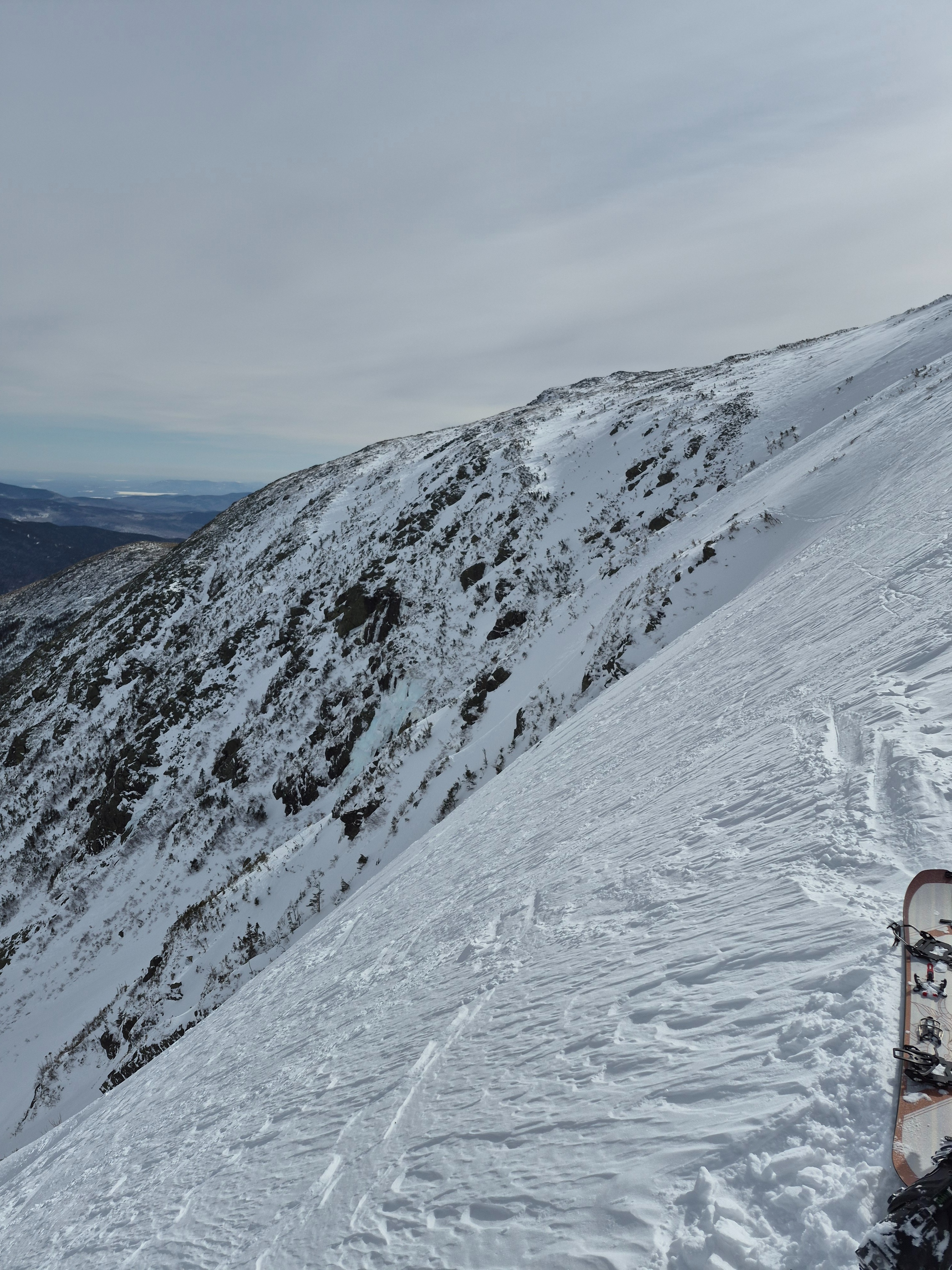
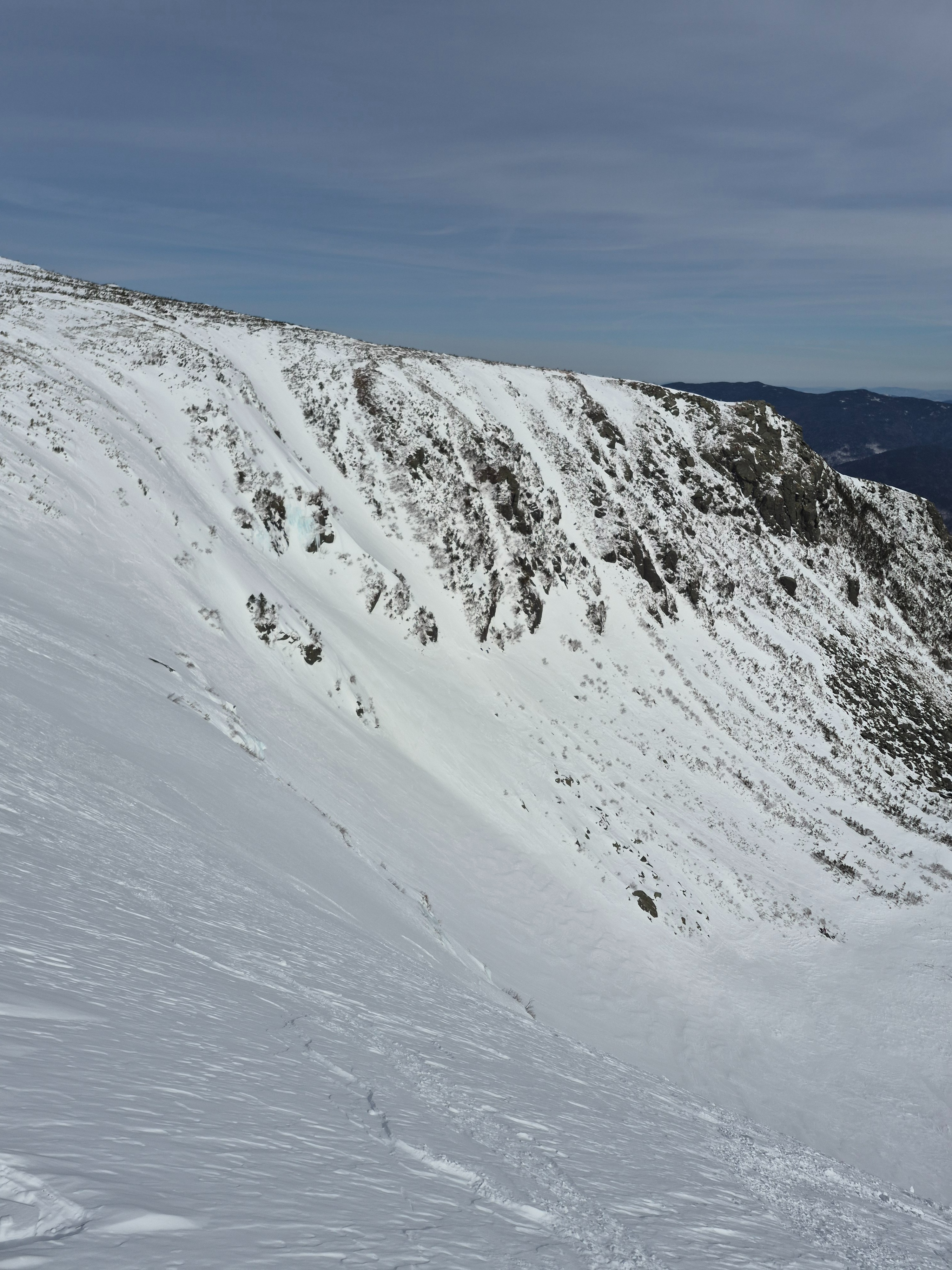
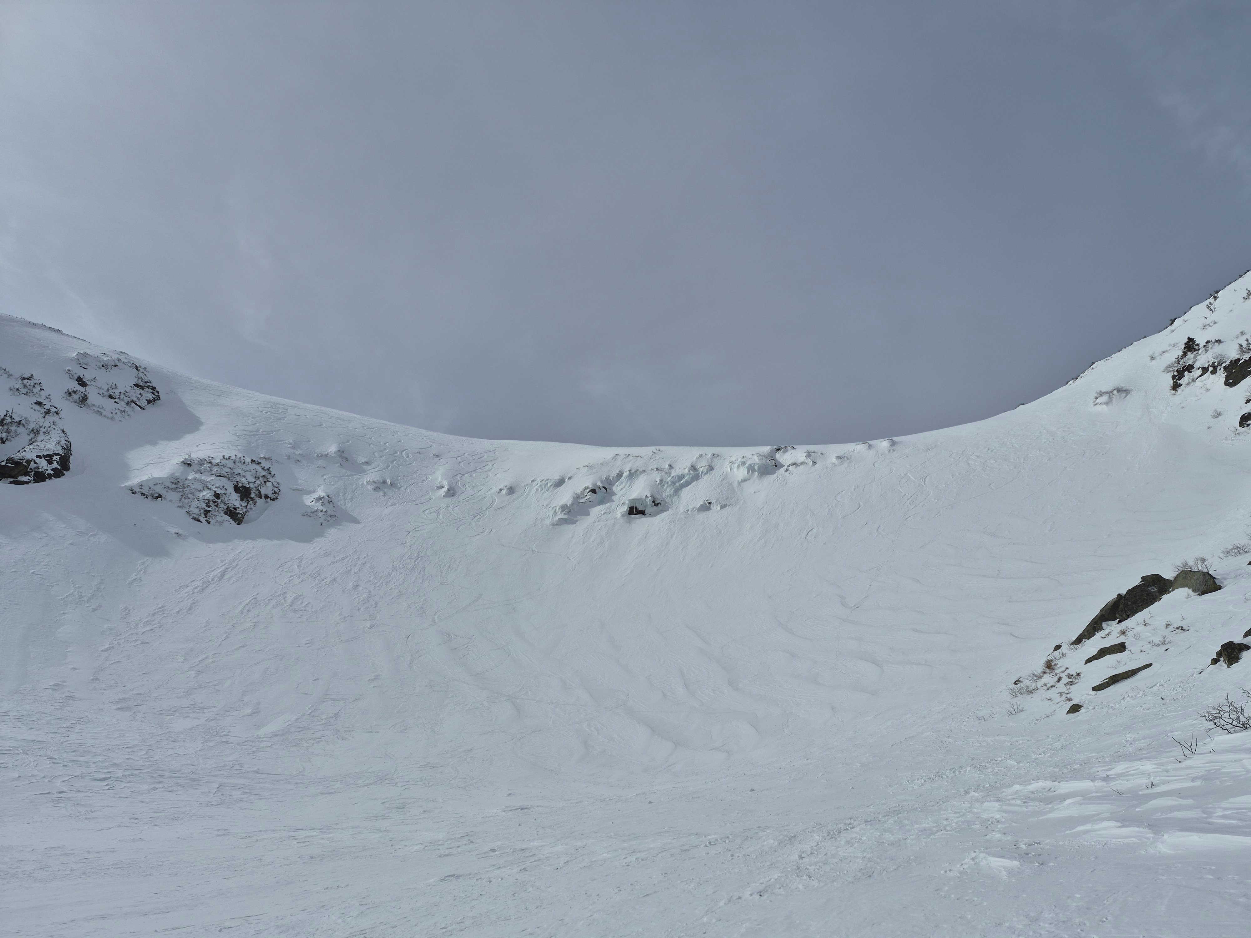
True easterly aspects like chute, headwall, and the lip had soft, 3inch deep wind packed powder that shattered instead of sluffed at your feet. These softer turns were only found for about 100 vertical feet between sastrugi in start zones and a firm but smooth wind board surface from halfway up the paths through the floor of the ravine.
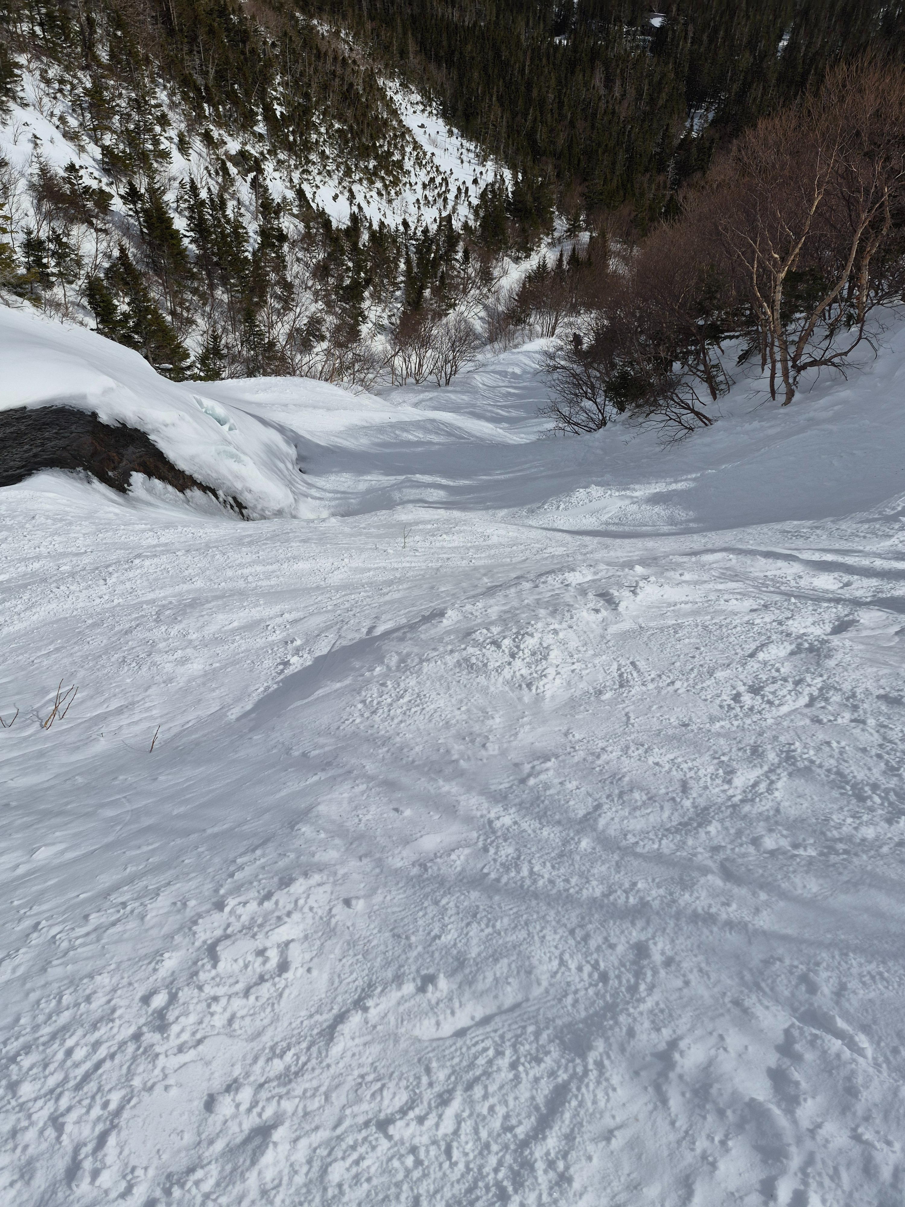
Overall we found a stable and supportable snowpack to walk and ski on.
Weather
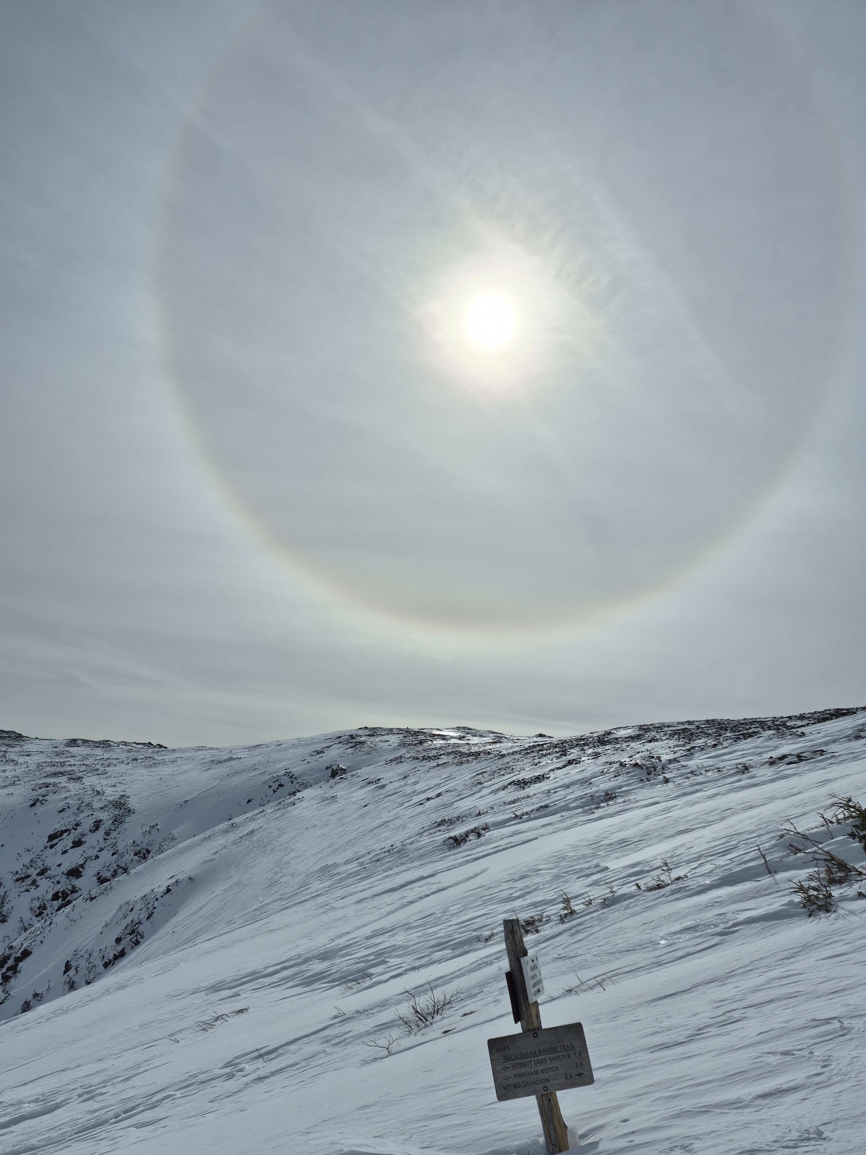
Bluebird morning with increasing high level clouds at 1130am and overcast by noon. Summit temps in the upper teens. Winds with west winds 30-40pmh (summit).