
Quick report
- Cracking
- specific
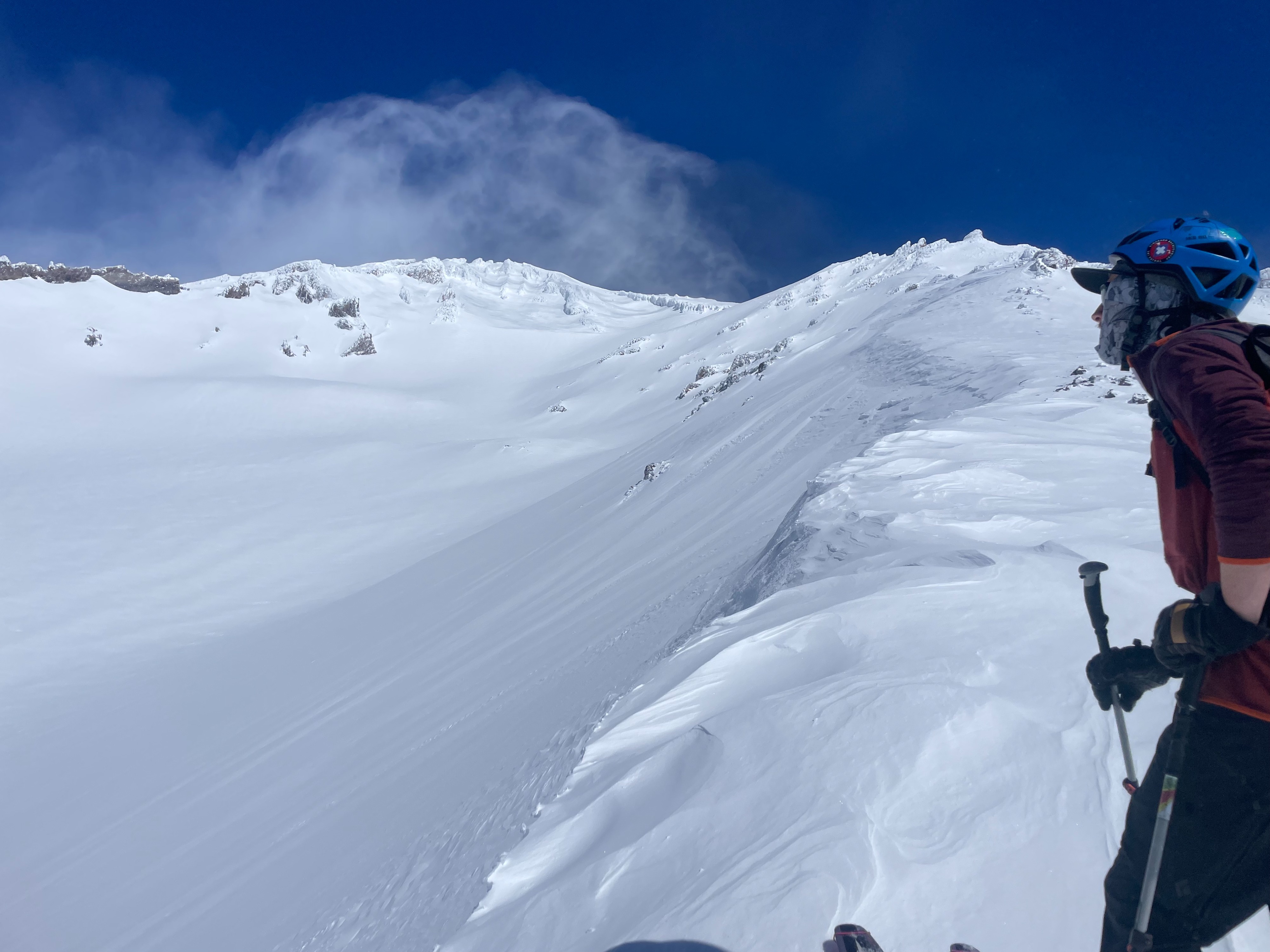
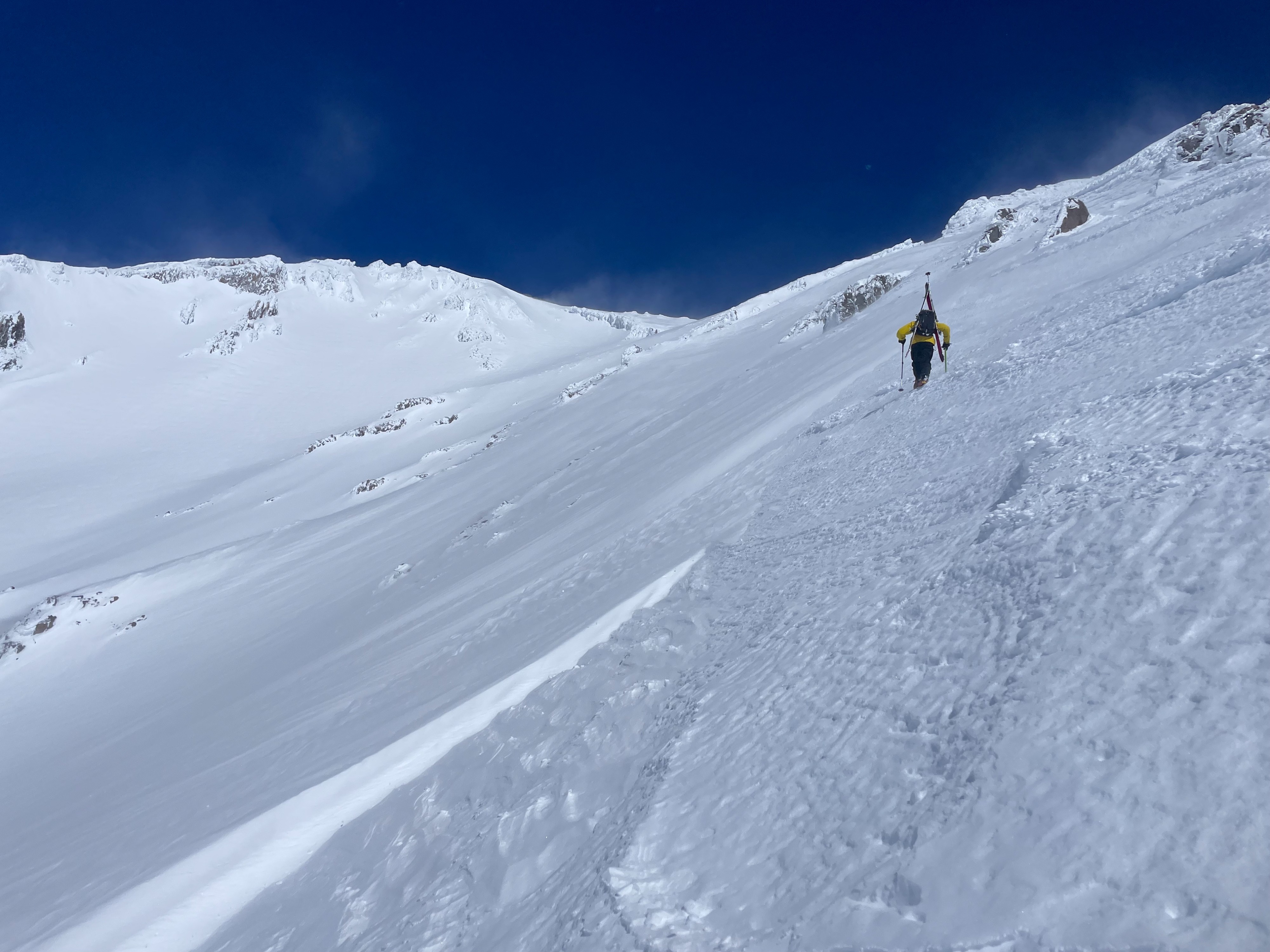
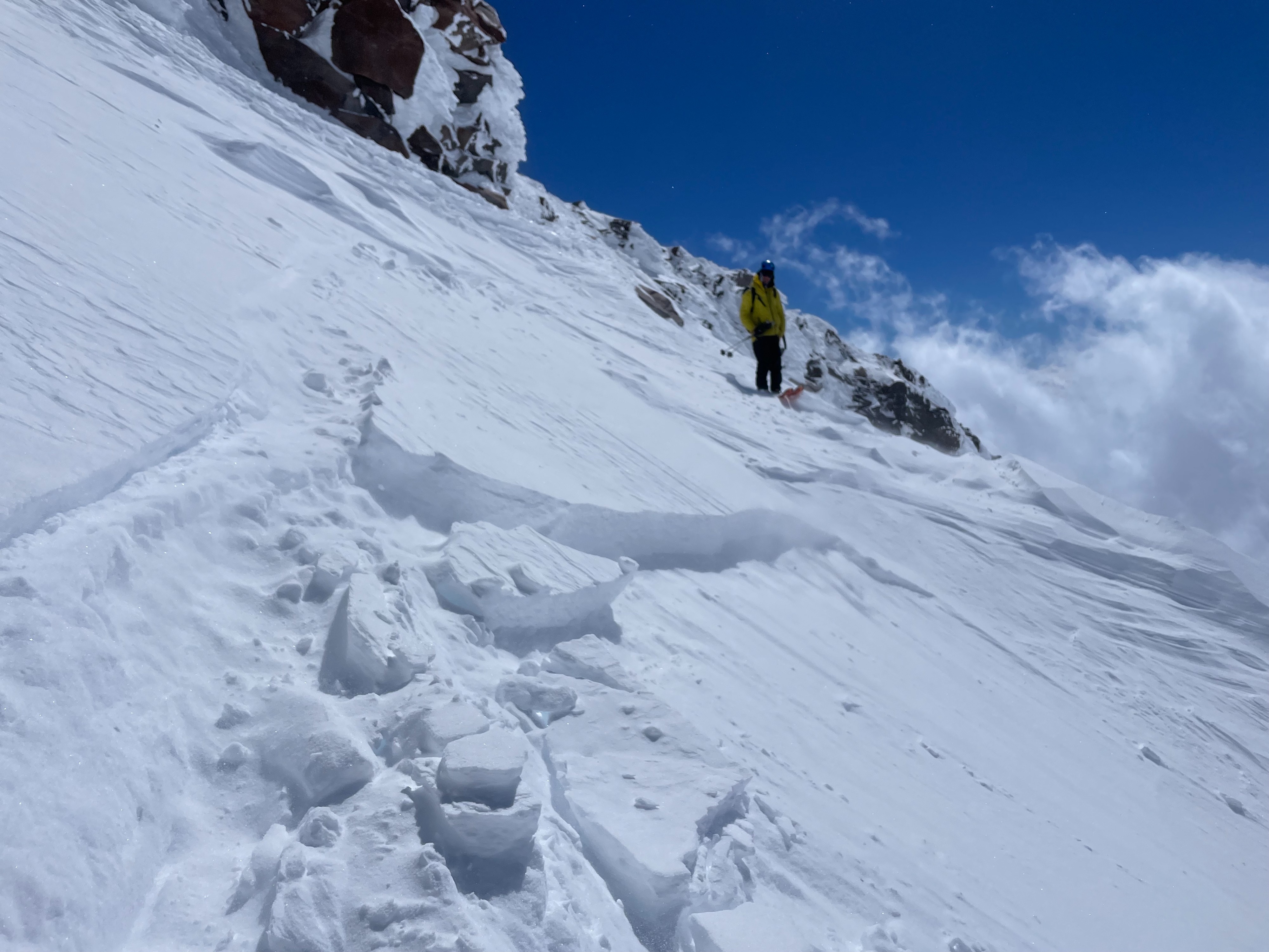
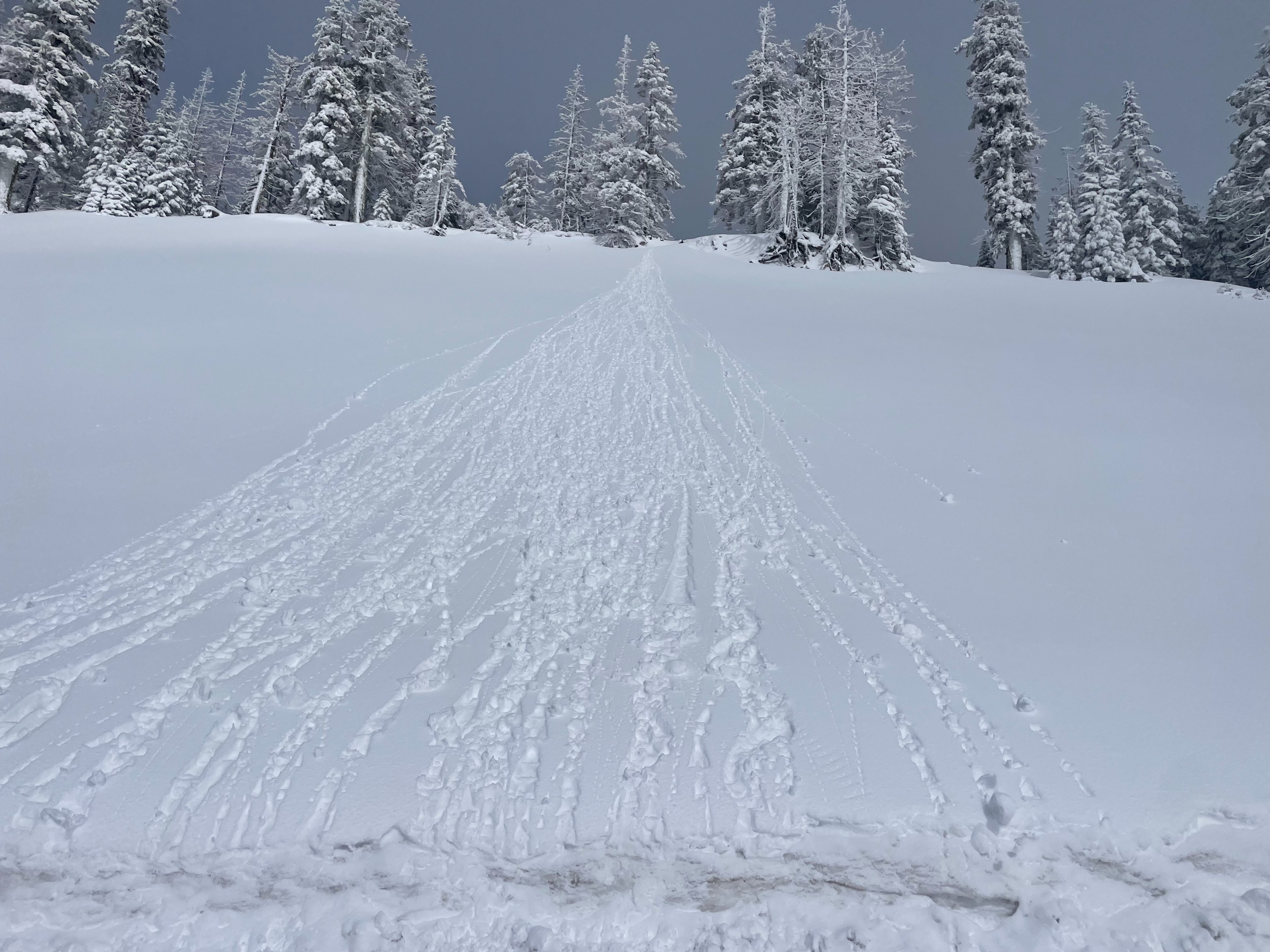
Forecasters traveled to the upper mountain today, to investigate snow instabilities and their trend over the next 24 hours. Two different avalanche problems made their presence known. First, the wind slab problem, to which exists at upper elevations (10,000+ feet) on W- NW-N aspects. These slabs are resting on top of loose, dry snow and proved quite sensitive to skis. Wet loose instability was also quite obvious. A couple, D1, wet loose avalanches occurred on southerly aspects, where the sun is strong, and the wind could not cool the surface. Pinwheels and roller balls were seen all over Gray Butte, Casaval, Green Butte, and most other lower elevation slopes. Both of these problems will likely exist tomorrow if the winds continue, and temperatures continue to climb (with clear skies). The upper mountain has been smoothed out by the most recent storm. The old surface crust, and wind effected surfaces have been covered or eroded away, for the majority of the south side.
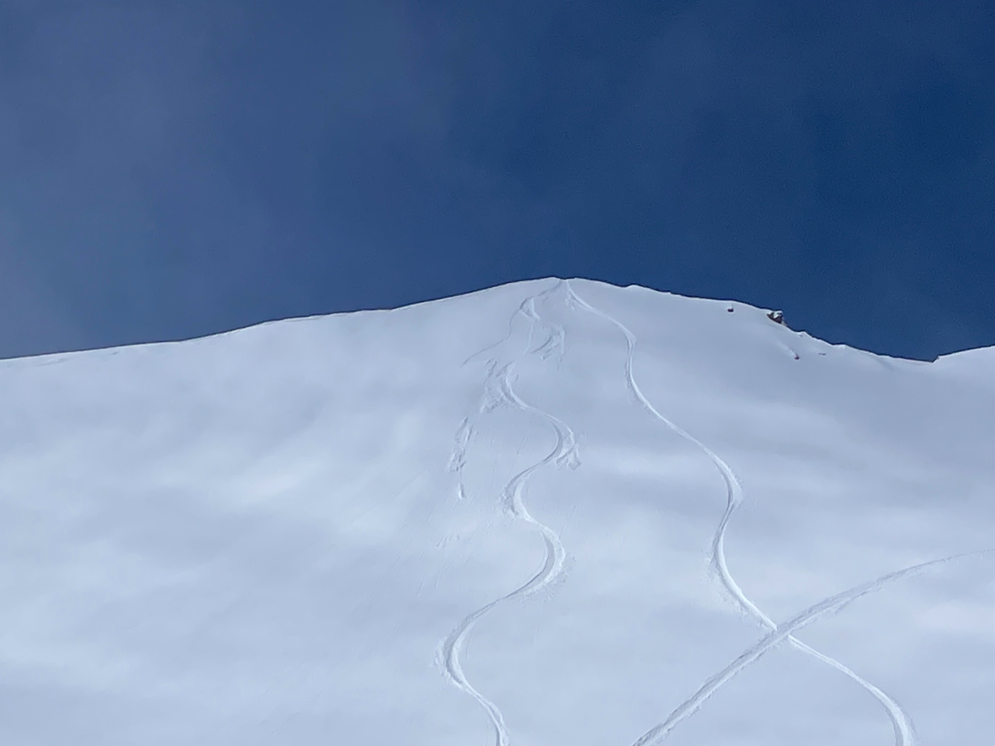
On the upper mountain (11,500 feet), wind drifted snow was found coating soft, cold snow all across westerly aspects. This loading likely occurred during the most recent southerly winds. A small, D1 wind slab avalanche was triggered to test the slope for sensitivity. The debris ran a few hundred feet before slowing down. Even lower down on slopes, this wind drifted snow could still be found. These wind slabs are quite sensitive, cracking easily and failing under the weight of skis. Wet loose instabilities were noted on solar aspects, specifically in areas where the winds could not provide surface cooling.Weather
- Air Temp
- 20
- Cloud Cover
- scattered
- Wind Loading
- moderate
- Rain Elevation
- 4,000
- Recent Snowfall
- 8-10
- Snow Avail For Transport
- moderate amounts
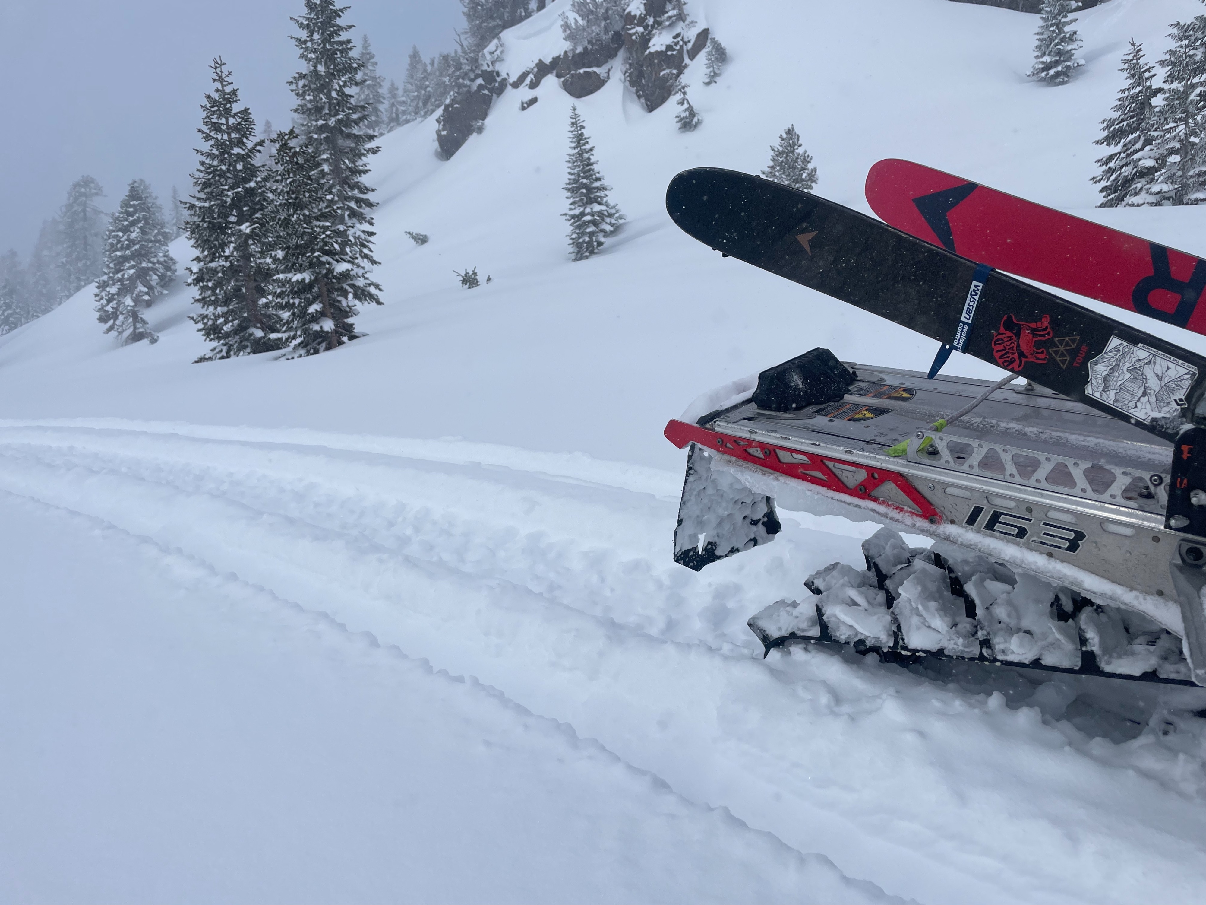
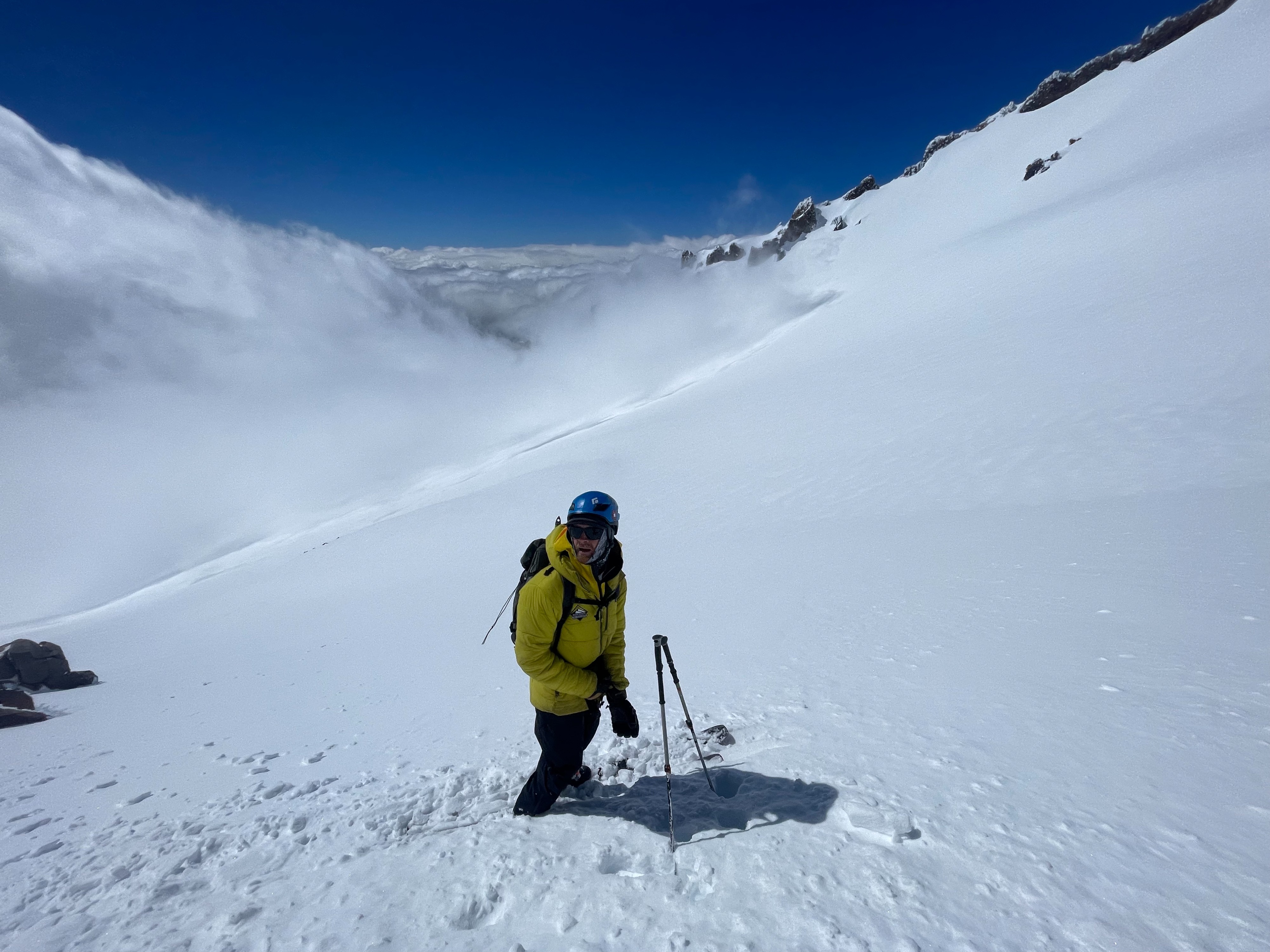
Upon first arriving to Bunny Flat, skies were mostly obscured with cloud cover, and the mountain was not visible. While climbing Old Ski Bowl, clouds began to part, and the upper mountain was exposed. For the majority of the afternoon, all of Mount Shasta was receiving direct sunlight, quickly heating up the temperatures. Winds were at first relatively light or unnoticeable. At around 12, northerly, down slope winds kicked on, consistently blowing moderate speeds on ridge tops and exposed slopes. Due to the wind, temperatures on the upper mountain stayed well below freezing.
Snowpack
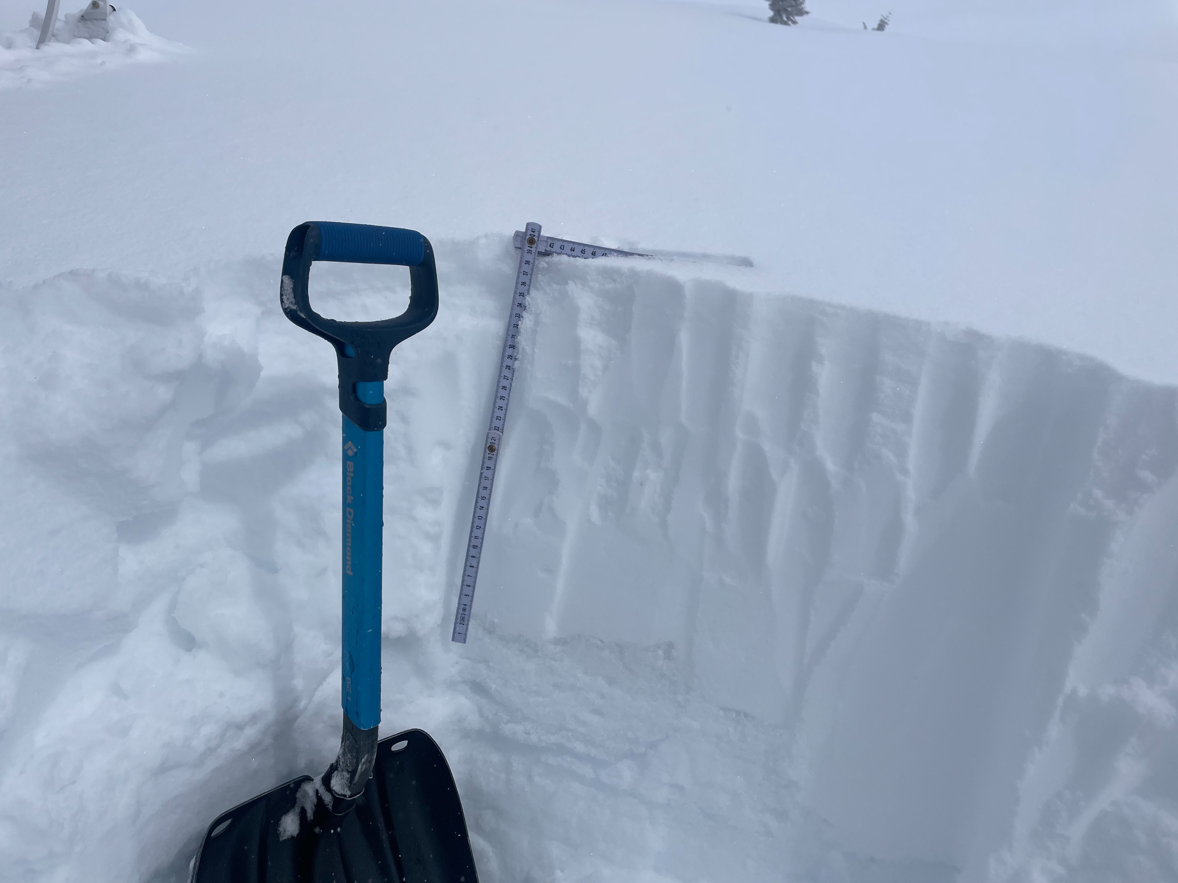
The recent new snow has coated the upper mountain well, hiding the old surface crust and heinous wind effected surfaces, and providing smooth unaffected slopes. Many areas hold cold, unconsolidated snow with very little wind effect. Above 10,000 feet, 15 inches or more of the new snow has accumulated. That being said, the snow is still quite dense and supportable. Ski penetration is only a few inches deep.
Avalanche
Two wet loose avalanches were observed. The first was at around 9,500 feet on the southeast aspect of Casaval Ridge. This was naturally triggered, running a few hundred feet. The second was from the Trinity Chutes, 12,700 feet, southerly aspect, running a few hundred feet. These avalanches are good indicators of the level of warming that is occurring on solar aspects above treeline. Both of these areas likely had very little cooling from the wind.