
Quick report
- Collapsing
- specific
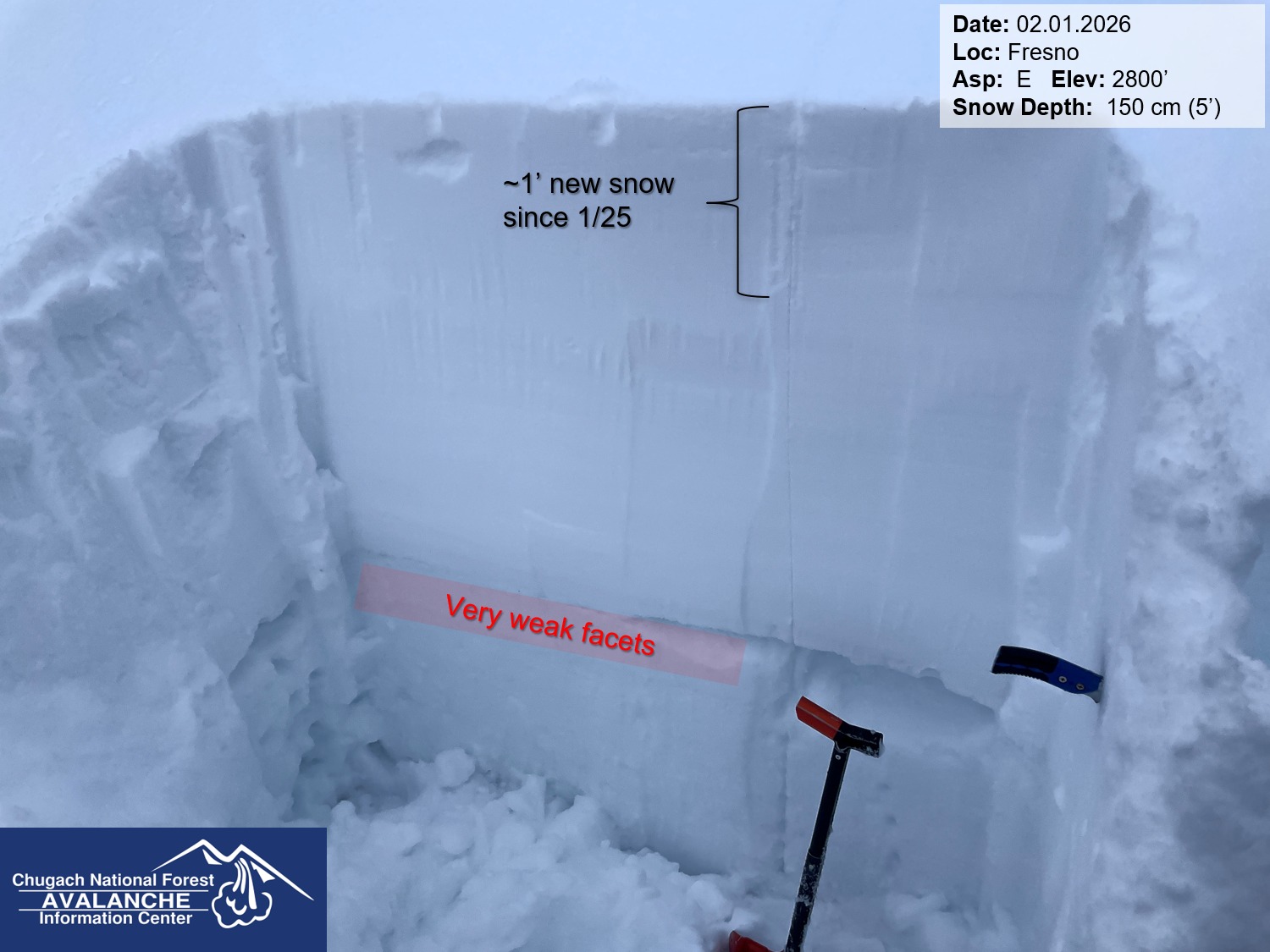
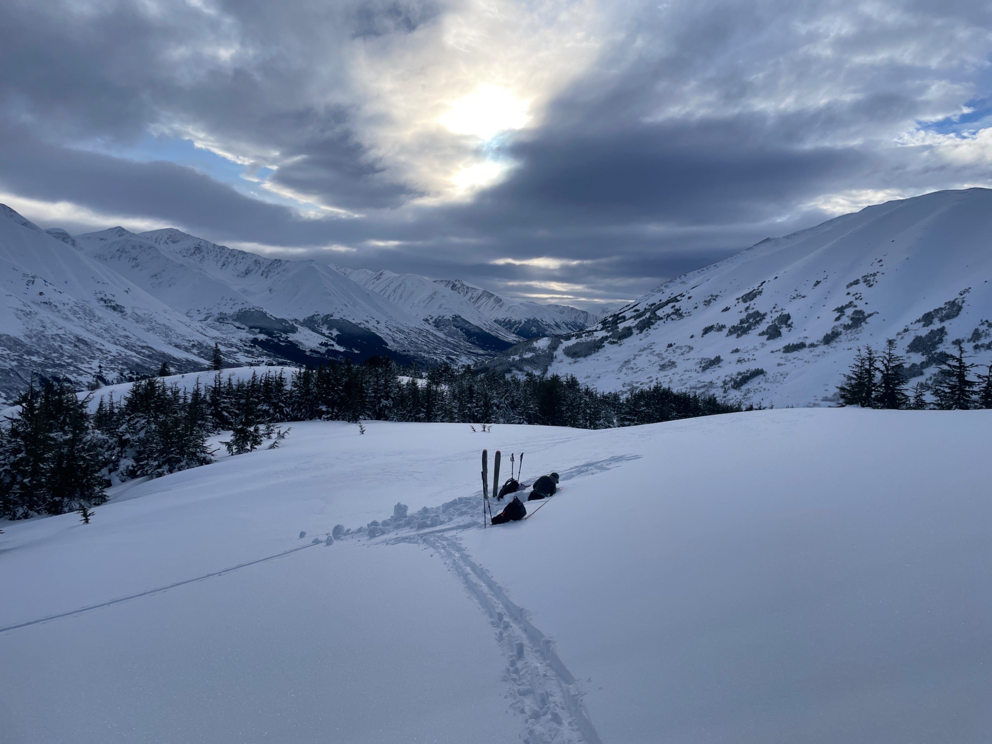
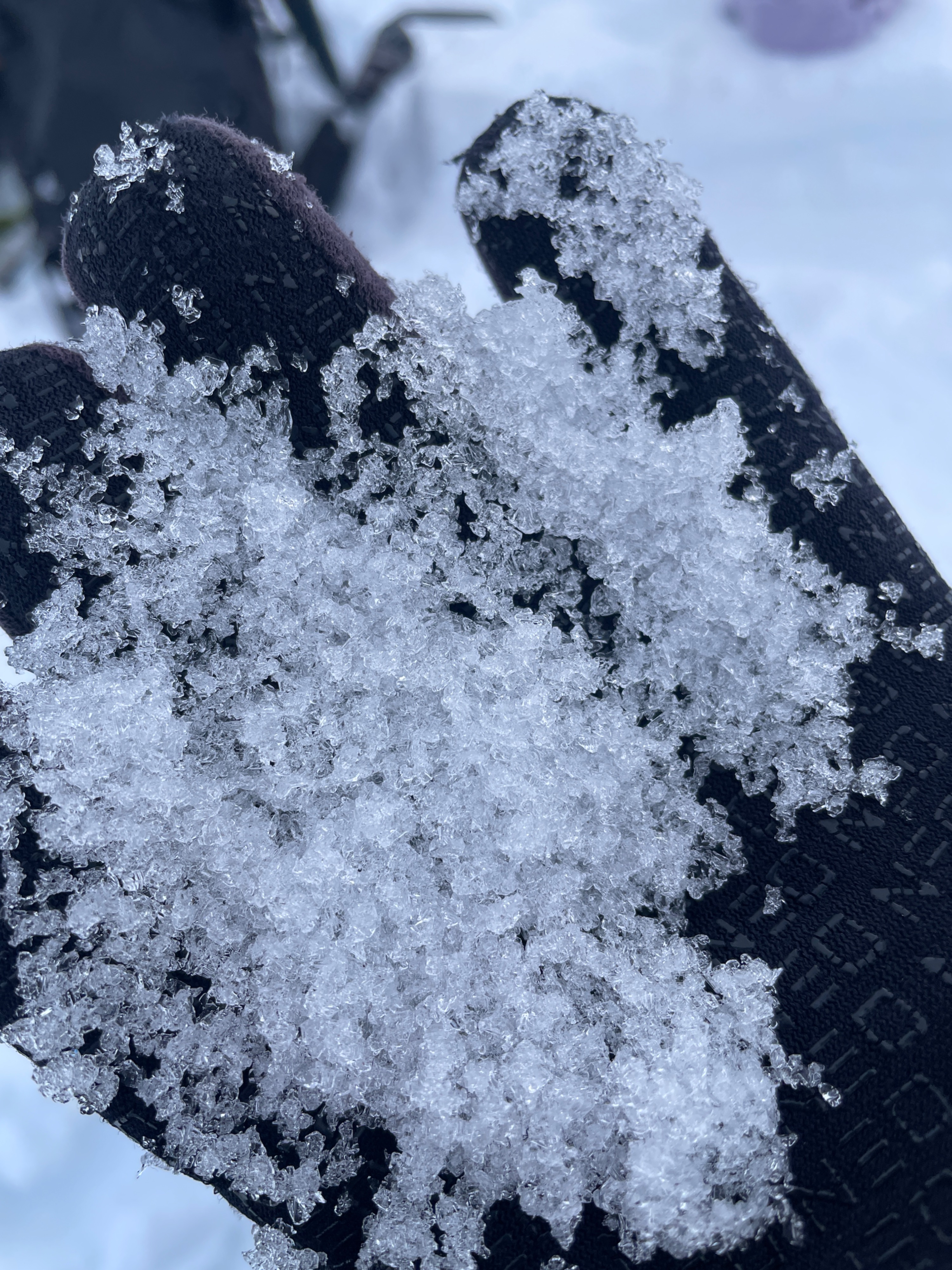
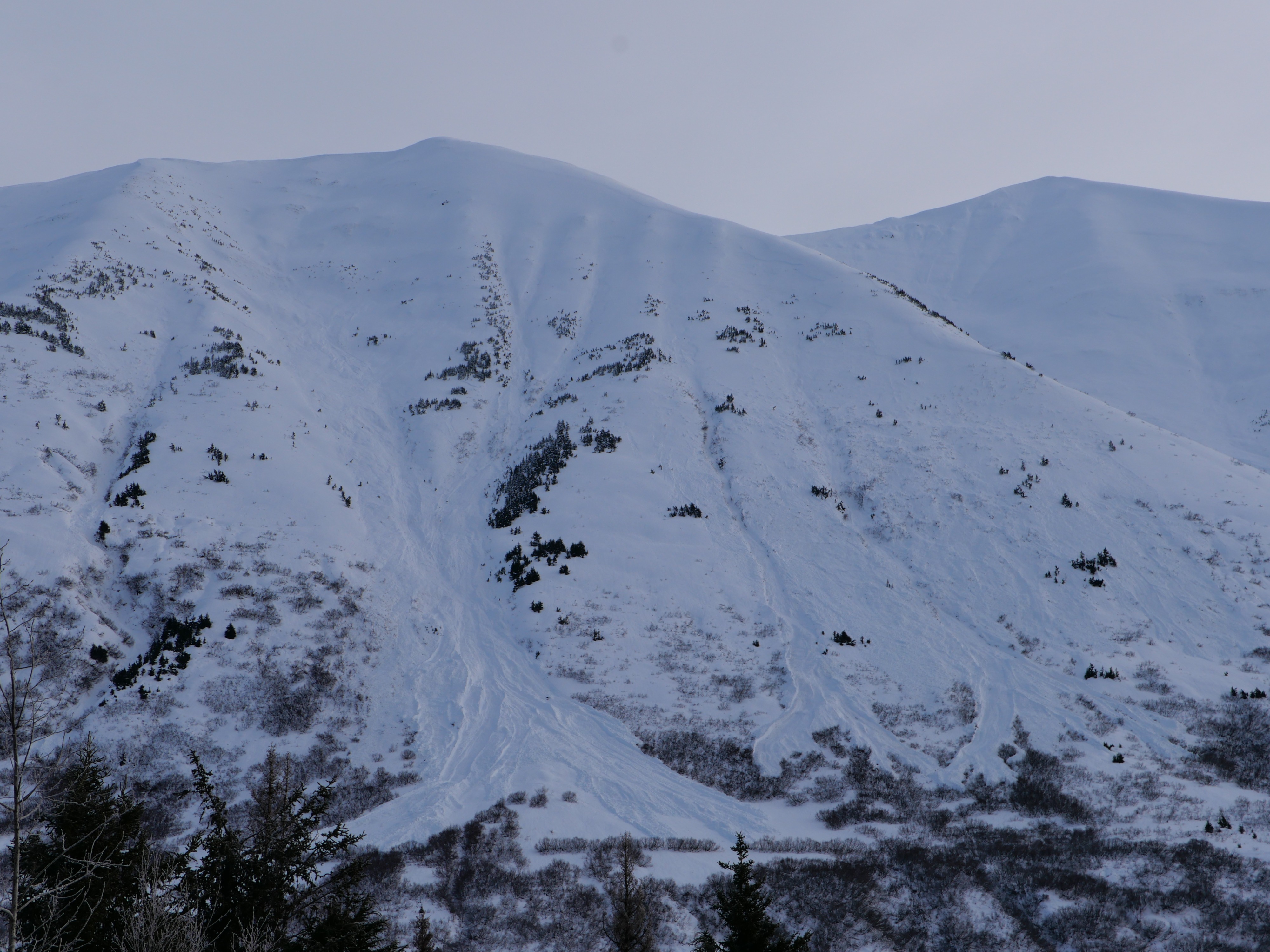
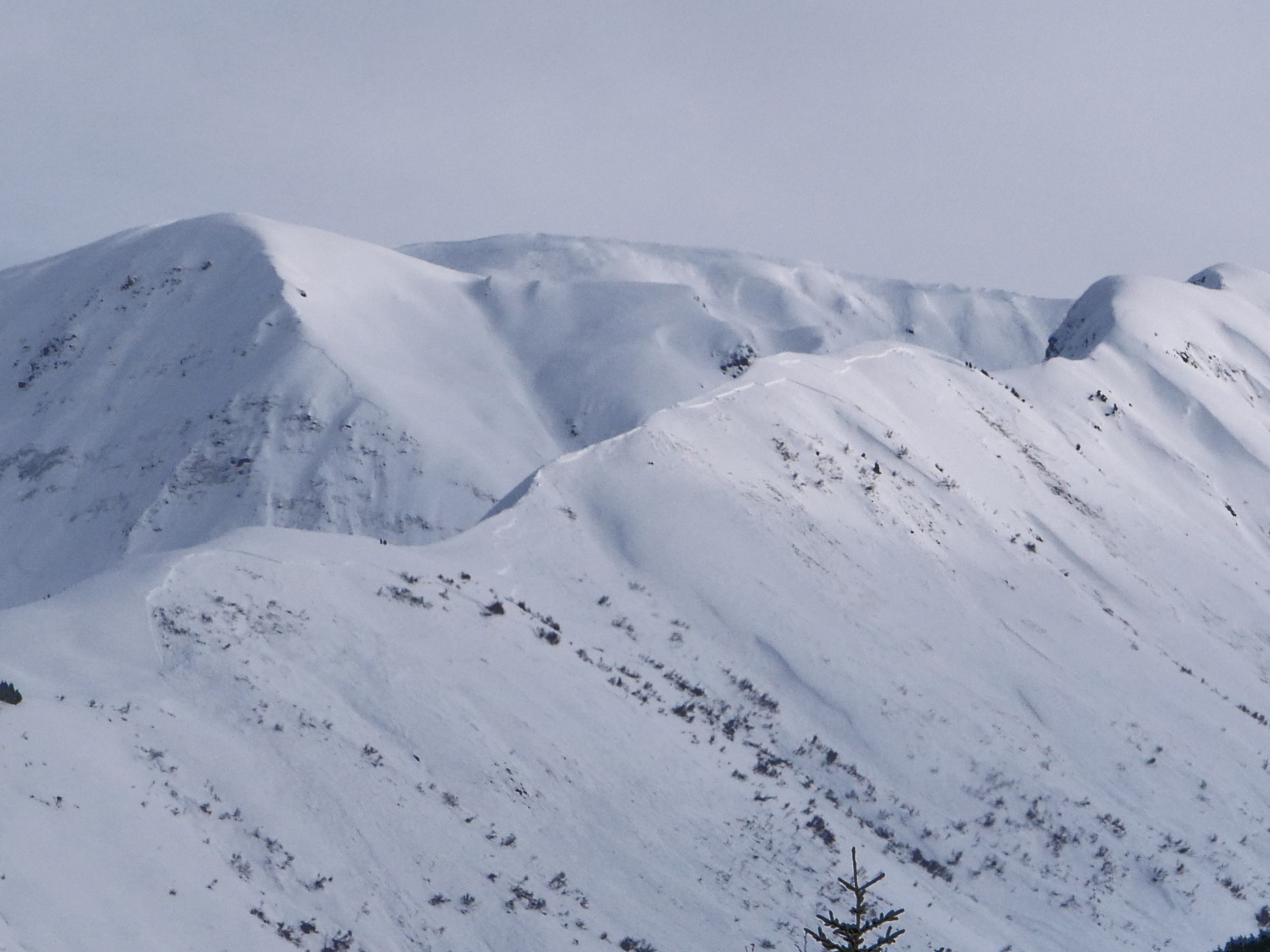
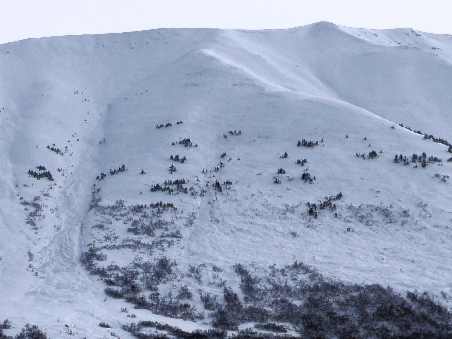
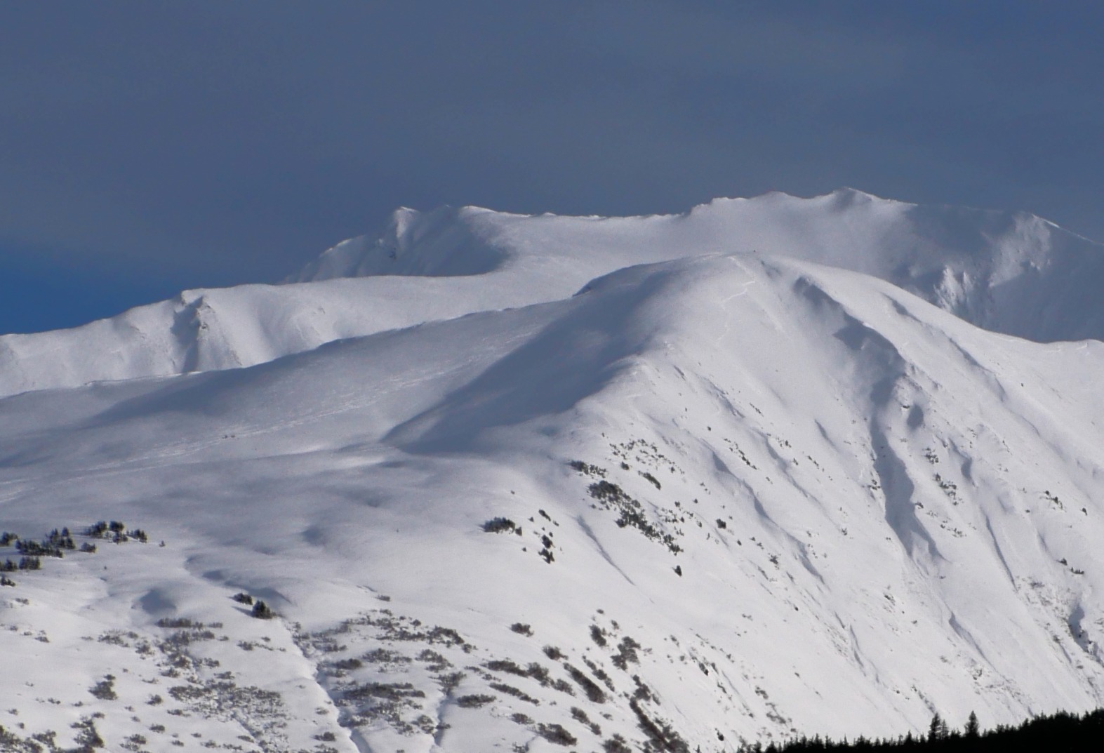
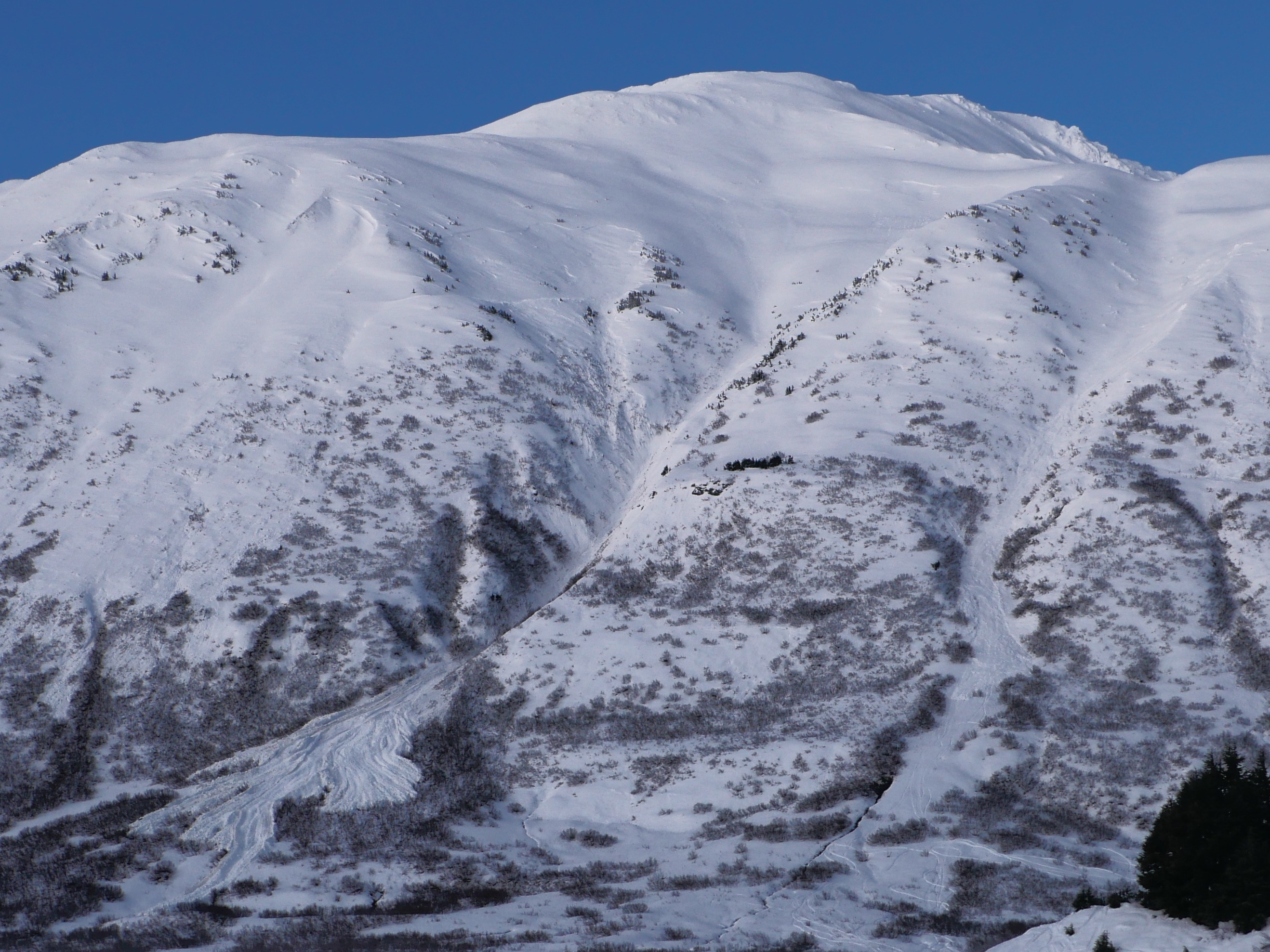
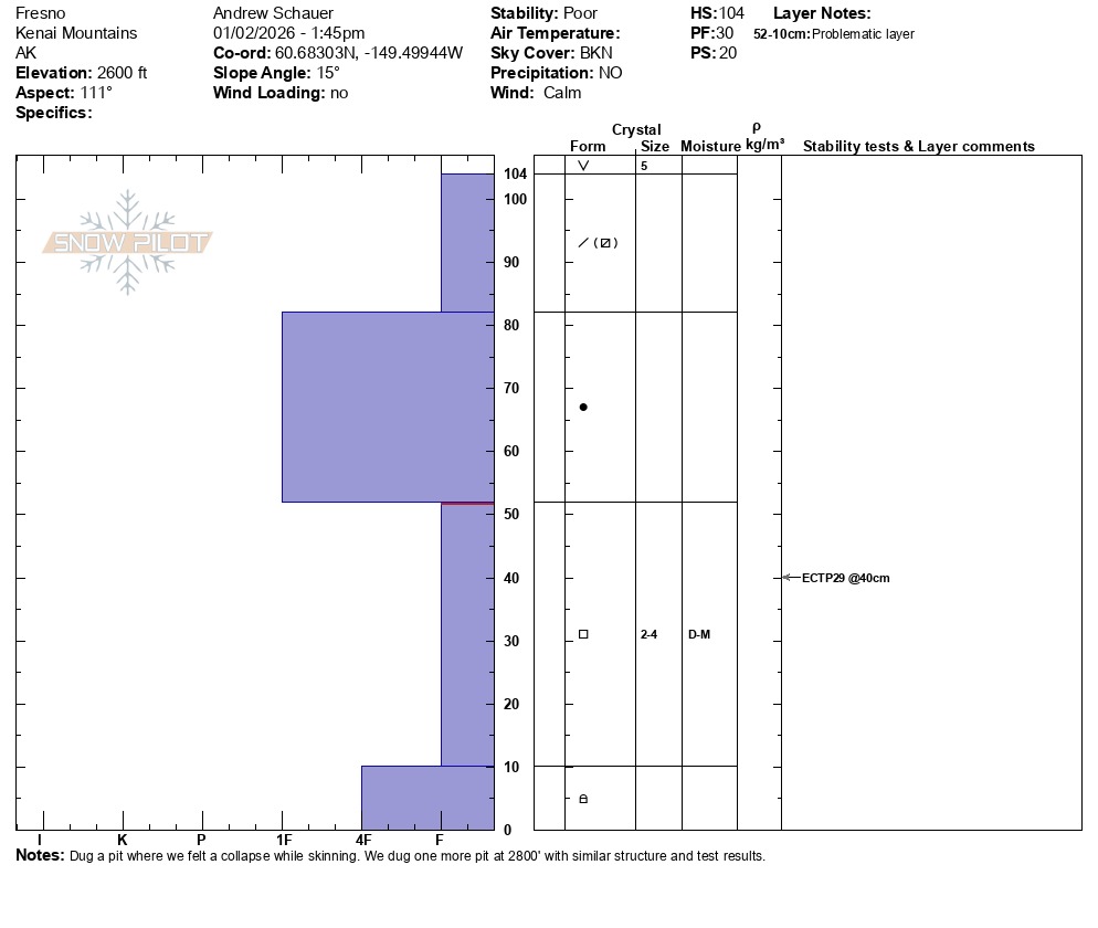
We toured up to 2900’ on Fresno, and experienced multiple collapses around 2600’. We stopped shy of going to the ridge because the terrain that had avalanched during the 1/16 cycle had completely filled in again, and we didn’t feel good about skiing anything on the last steep pitch. We dug two pits (2600’ and 2800’) and got unstable results in both (ECTP29). The structure looks notably worse than the Turnagain Pass and Lost Lake zones, with well-developed facets buried 1.5-3’ deep at and above treeline. We got a few large collapses at around 2600' elevation.
Weather
- Cloud Cover
- broken
- Wind Loading
- none
- Rain Elevation
- 1600'
- Recent Snowfall
- 6-12", increasing with elevation.
- Snow Avail For Transport
- large amounts
Mostly sunny in the morning with increasing clouds through the day. Light easterly winds.
Snowpack
There was a supportable crust up to around 2400'. This crust was covered with a dusting of new snow up to about 1800', gradually increasing to around 6" snow above the crust at 2400' when the crust disappeared. 12" new snow at our high point of 2900'.
We dug two pits and got unstable test results (ECTP29 each time) on the December facet layer, buried 1.5' deep in our pit at 2600' and 3' deep in our pit at 2900'. This is a very concerning structure that keeps indicating it is still reactive. We did not see any alarming results at the new/old interface from the 1/29 storm.
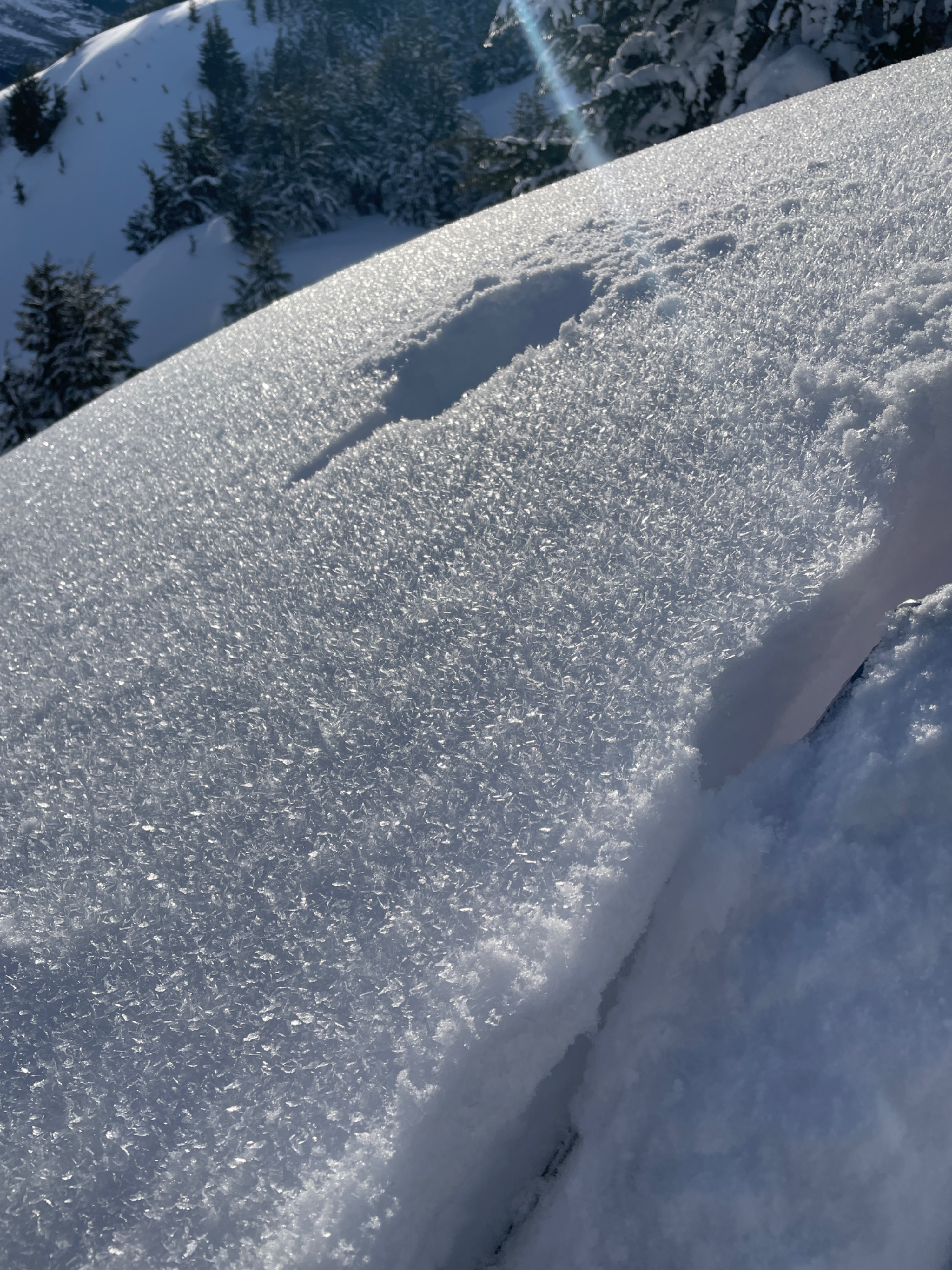
There was a fresh layer of surface hoar from the road to our high point. This was on top of the dusting of snow on a crust at low elevations.
Avalanche
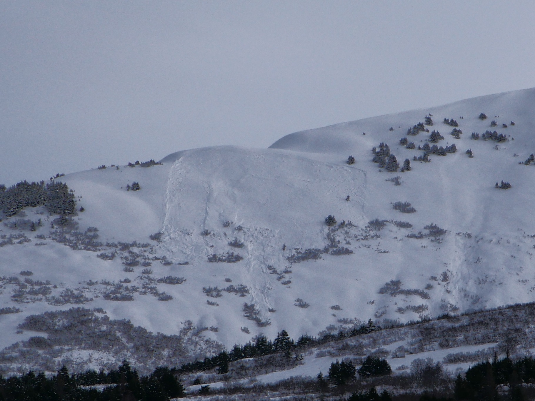
Widespread activity in the Summit Lake area from the Jan. 29 cycle. D2-D3 in size.