
Quick report
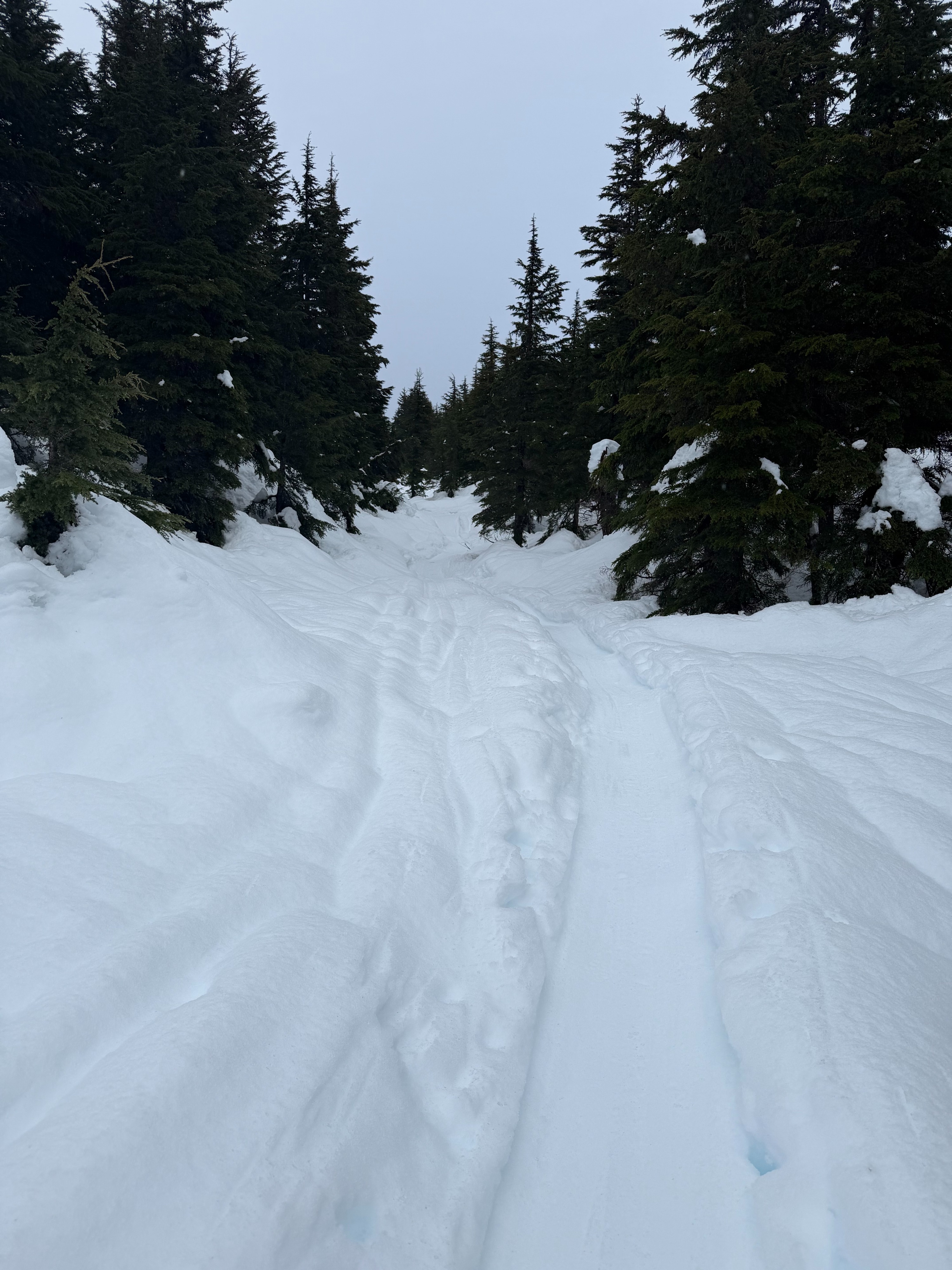
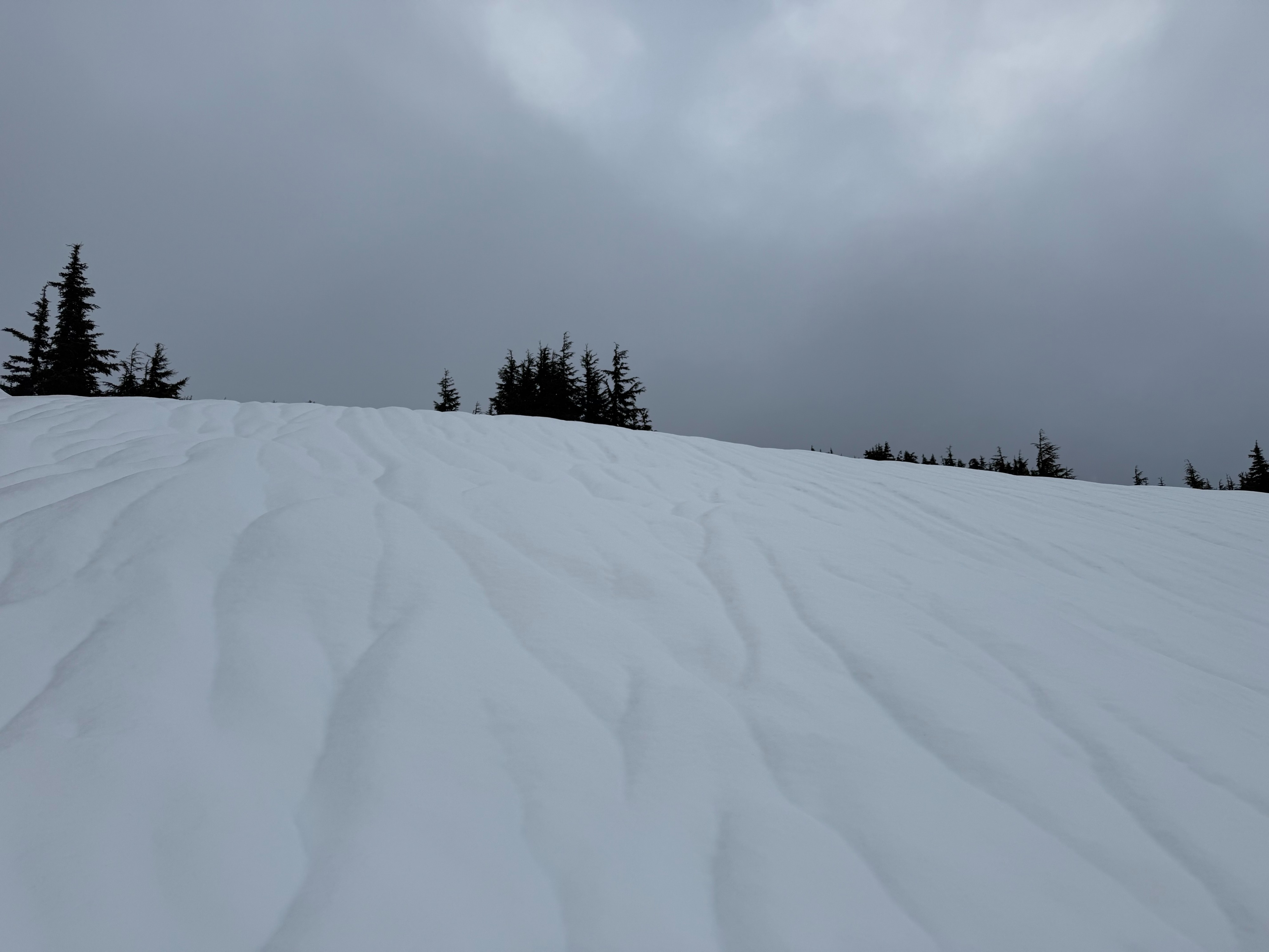
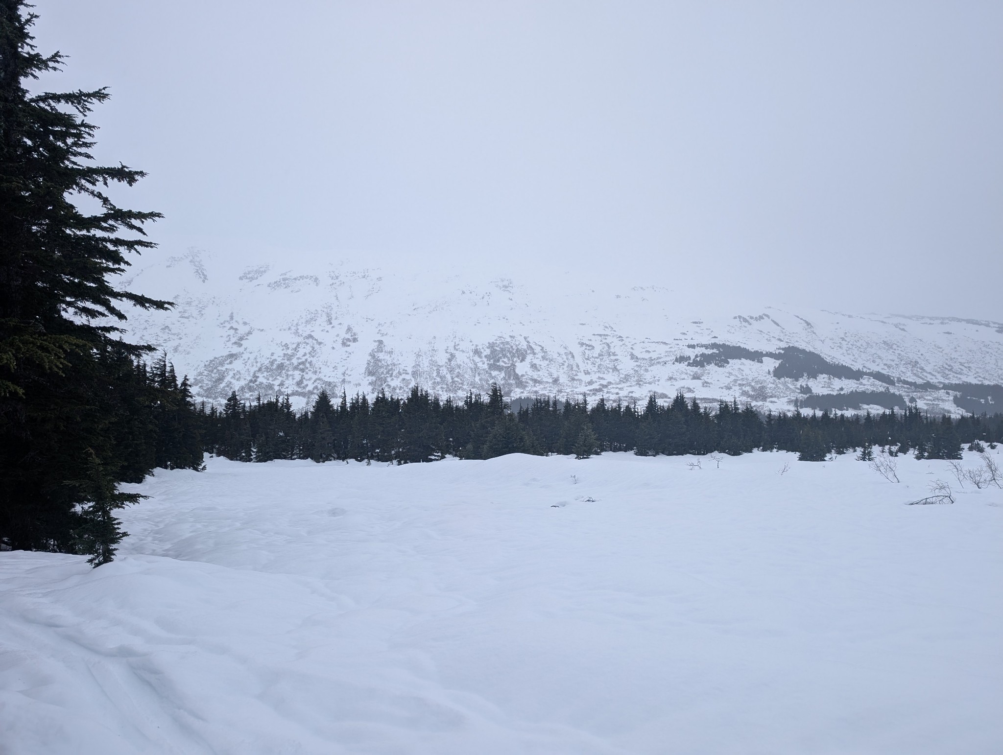
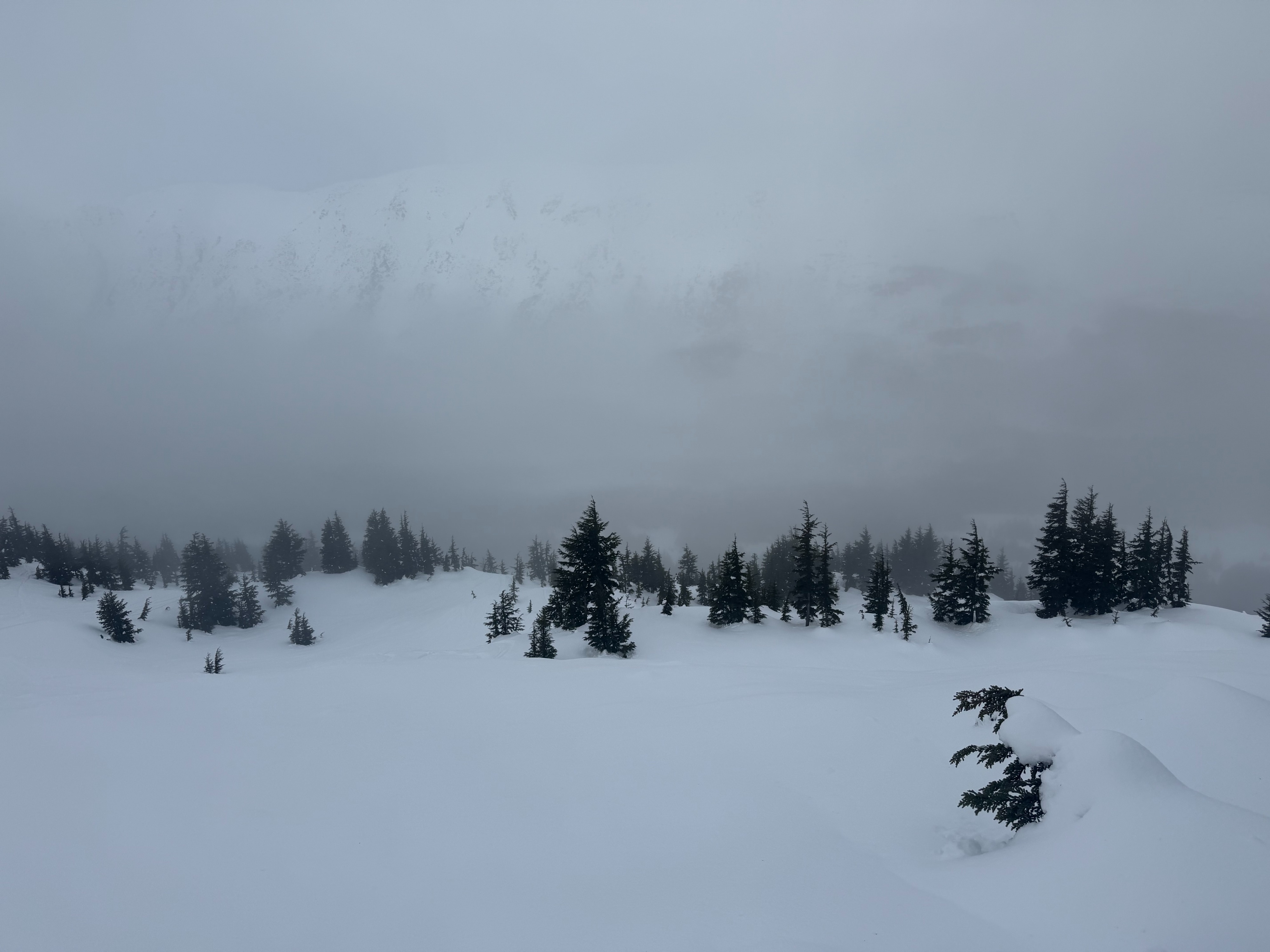
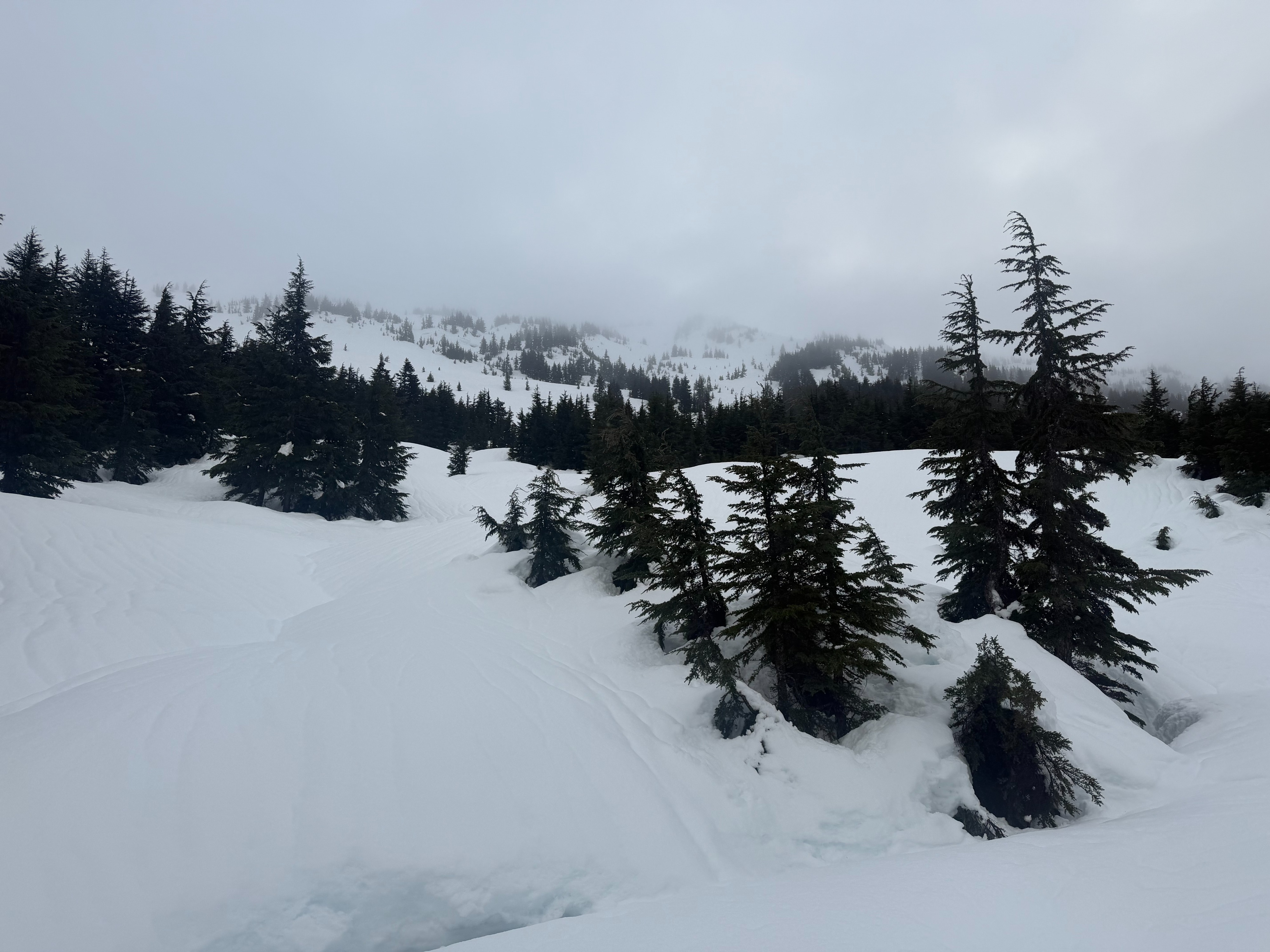
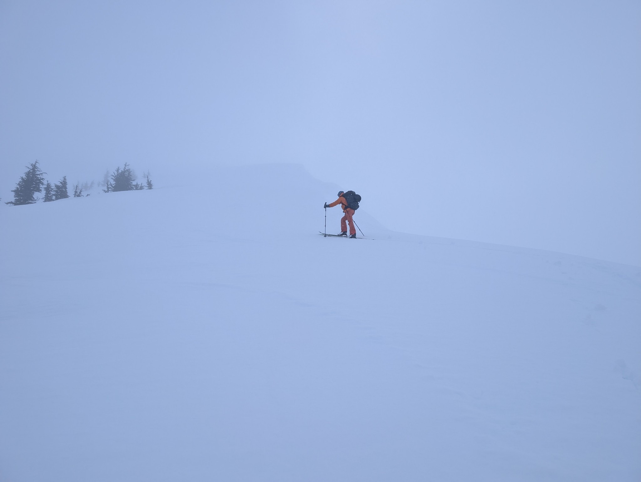
We skinned to 2,200' on Tincan trying to gather more info on how likely it could be to trigger and avalanche on the Dec. weak layer using a variety of snowpit tests. There was a supportable crust at the parking lot that quickly transitioned to a little bit of soft wet snow. The depth of the snow increased with elevation to about 8 to 12" of new snow at 2,000'. A light drizzle turned to snow around 2,000'. At that elevation warm powder made for fun turns which quickly turned to hot sticky snow. Visibility was poor for much of the day and winds were light to calm at mid elevations.
We did not observe any signs of instability today.Weather
Visibility was poor today with clouds, light rain and snow and fog. It was raining lightly in the lower elevations as we began our day with warm temps at about 32 F. At about 2,000' the rain turned to snow and it snowed lightly through the day. Winds were calm to light.
Snowpack
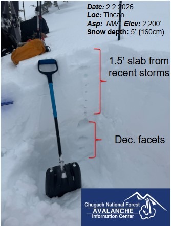
We dug two pits, one at 2,200' on a NW slope and another at 2,080 on a SW slope. It had rained this morning to at least 2,200' because there was a thin layer of melt freeze under a little bit of new snow. In both pits we found the December facets but they were only about 1.5' deep on the NW pit which also had less snow 5' (160cm). On the SW slope the Dec. facets were 3.5' deep and the total snowpack was 7.5' (225cm). On slopes where the snowpack is thin like the NW slope it will be easier to trigger a large avalanche. The test results in our pit were not concerning (NW pit, ECTX and PST 80/100END. SW pit, CTX, DTX) but we still made conservative decisions by spacing out and only exposing one person at a time to small steep faces and moving quickly past them.