
Quick report
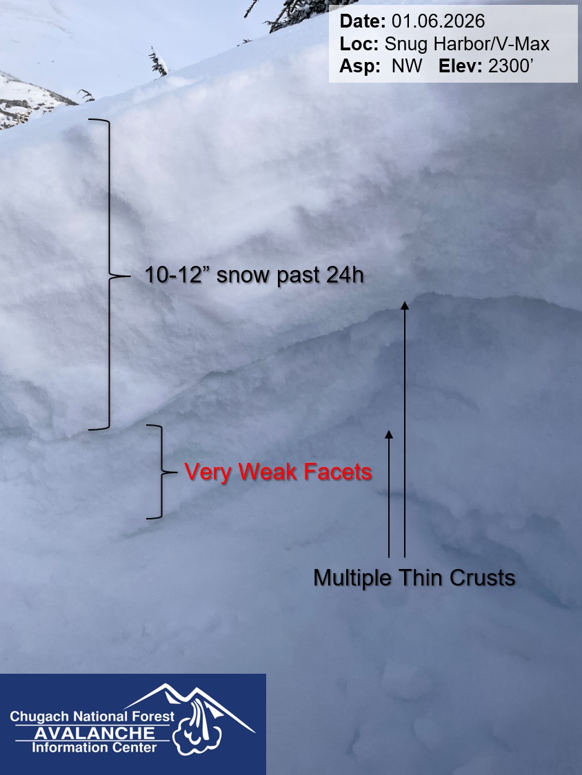
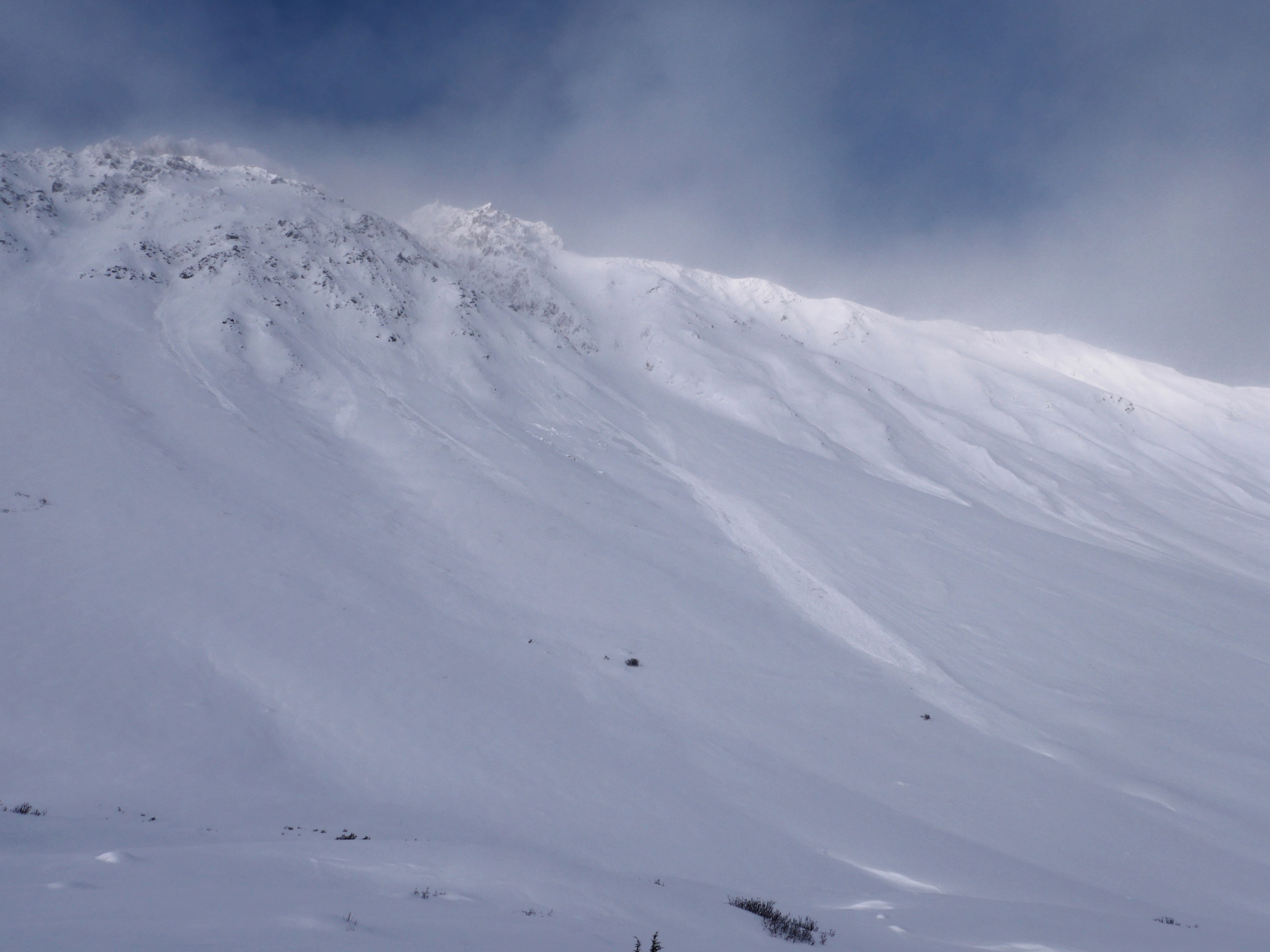
This was our first day in the Snug Harbor area for the season, and we tried to cover as much ground and poke as many quick holes into the snow as possible. We consistently found a concerning series of thin crusts and very weak, faceted snow in the upper 1-2' of the snowpack, with around 10" low-density snow on the surface. We saw a few natural avalanches, but visibility was limited for most of our day so we did not get a great survey.
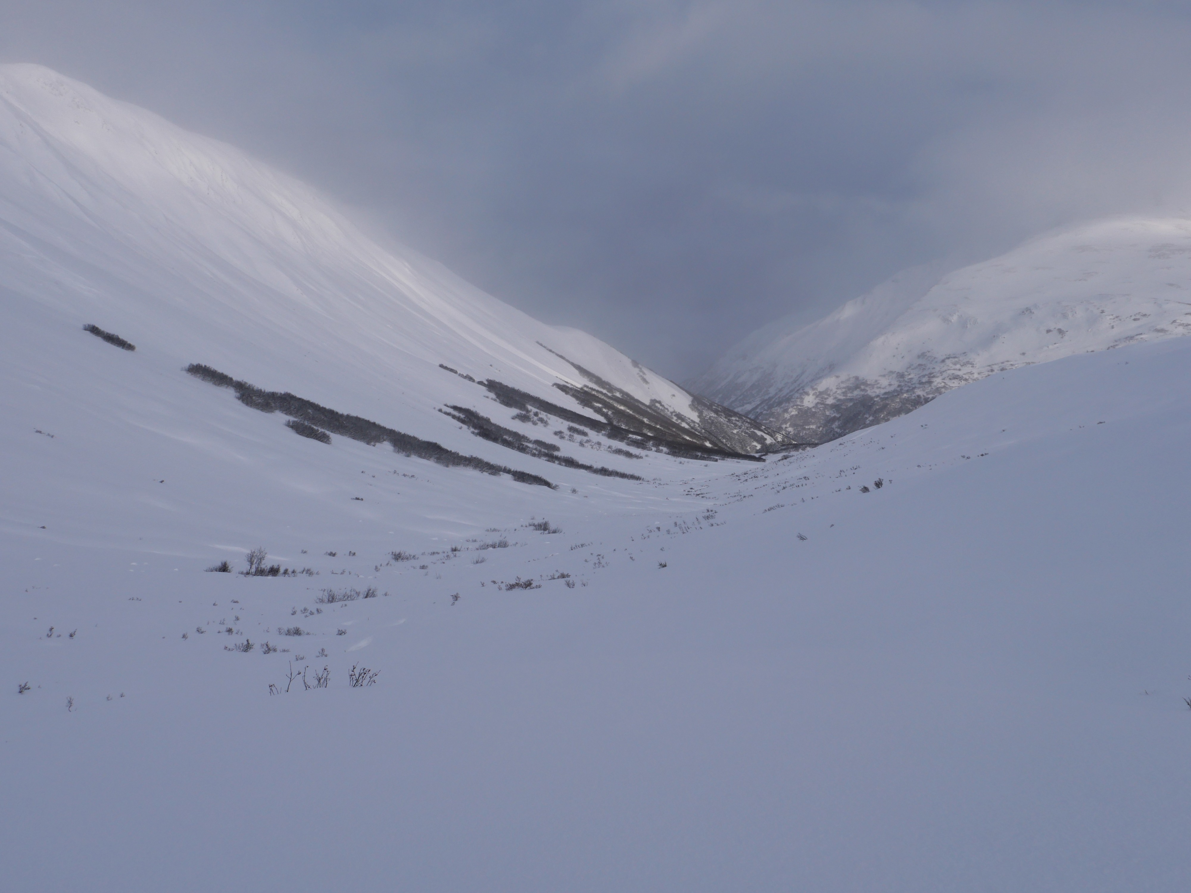
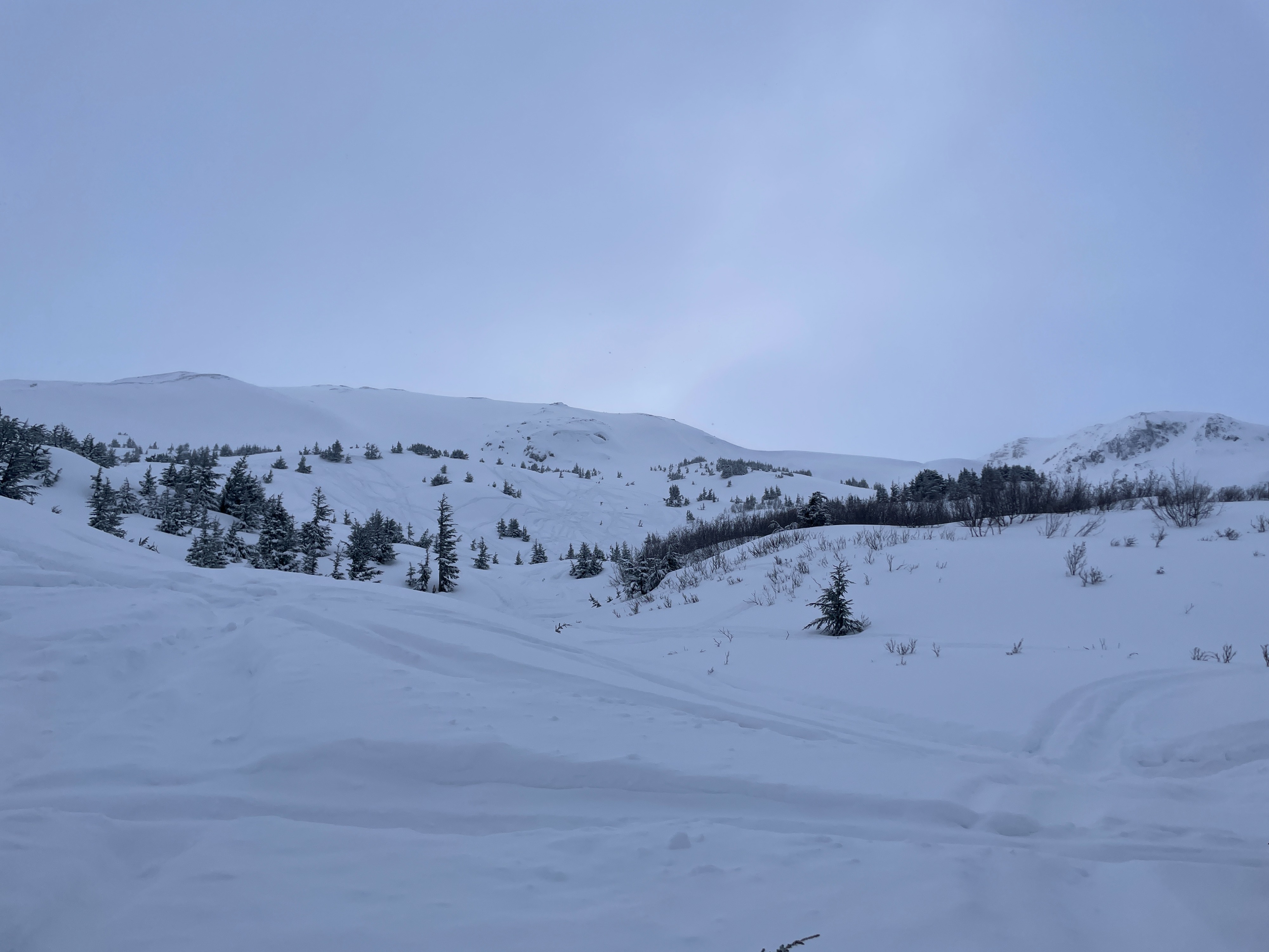
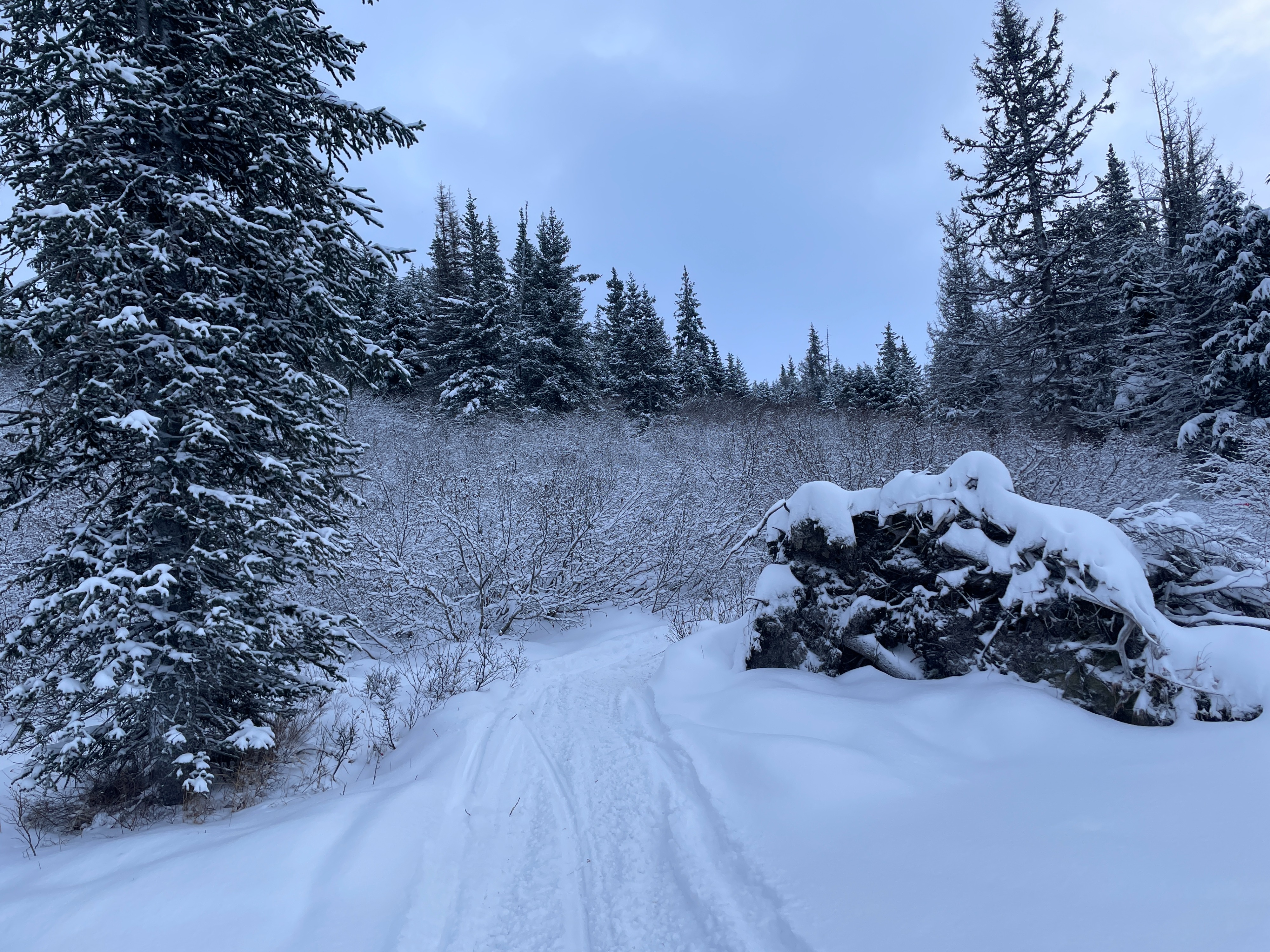
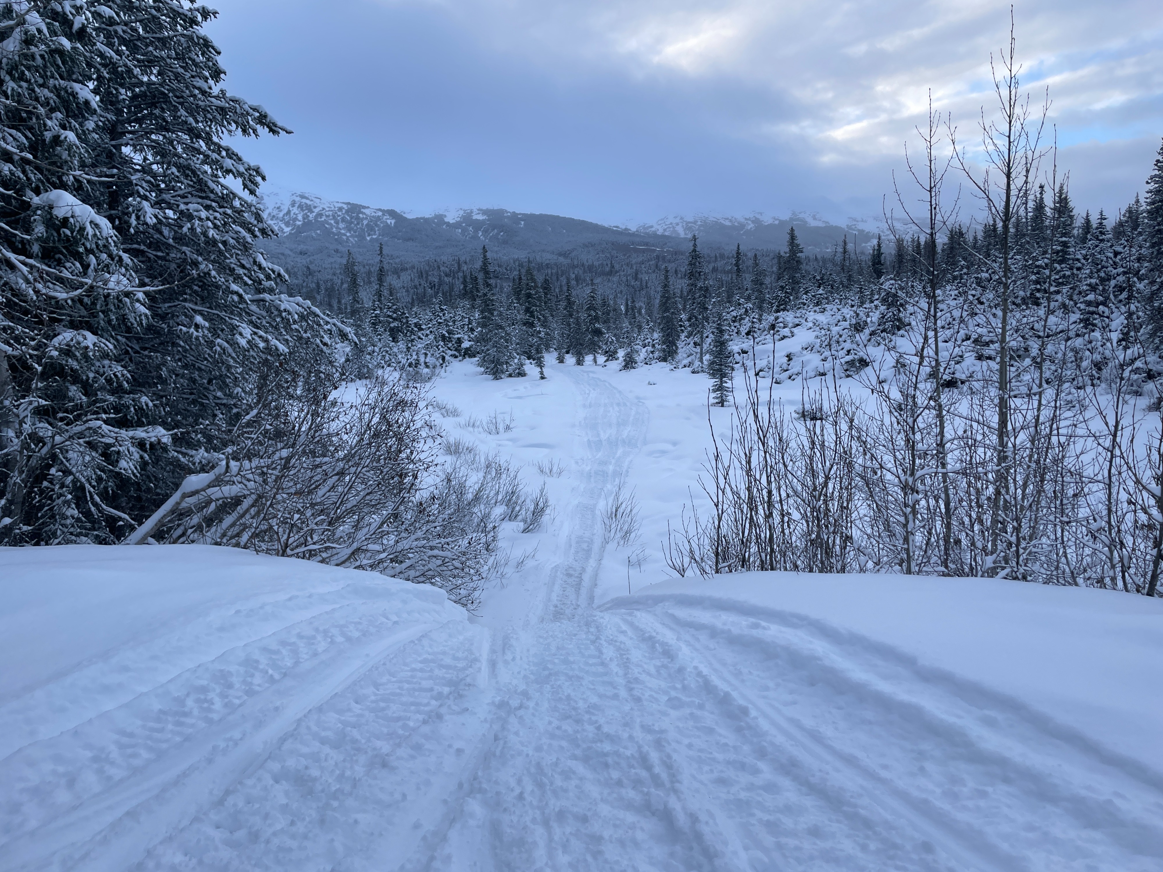
Coverage is still very thin. The alders are thick on the way in, and there is quite a bit of brush poking through the snow even up at higher elevations, where it's usually all white. There is enough on the ground to make for decent riding, but the small creeks and large rocks are more of a concern than usual.
Recent natural activity on the unnamed peak (el. 5309) between Boulder Creek and the upper Ship Creek drainage. They looked about a foot deep, 50' wide, and ran around 300'.Weather
- Cloud Cover
- overcast
- Wind Loading
- moderate
- Rain Elevation
- Sea Level
- Recent Snowfall
- 10" (25 cm)
- Snow Avail For Transport
- large amounts
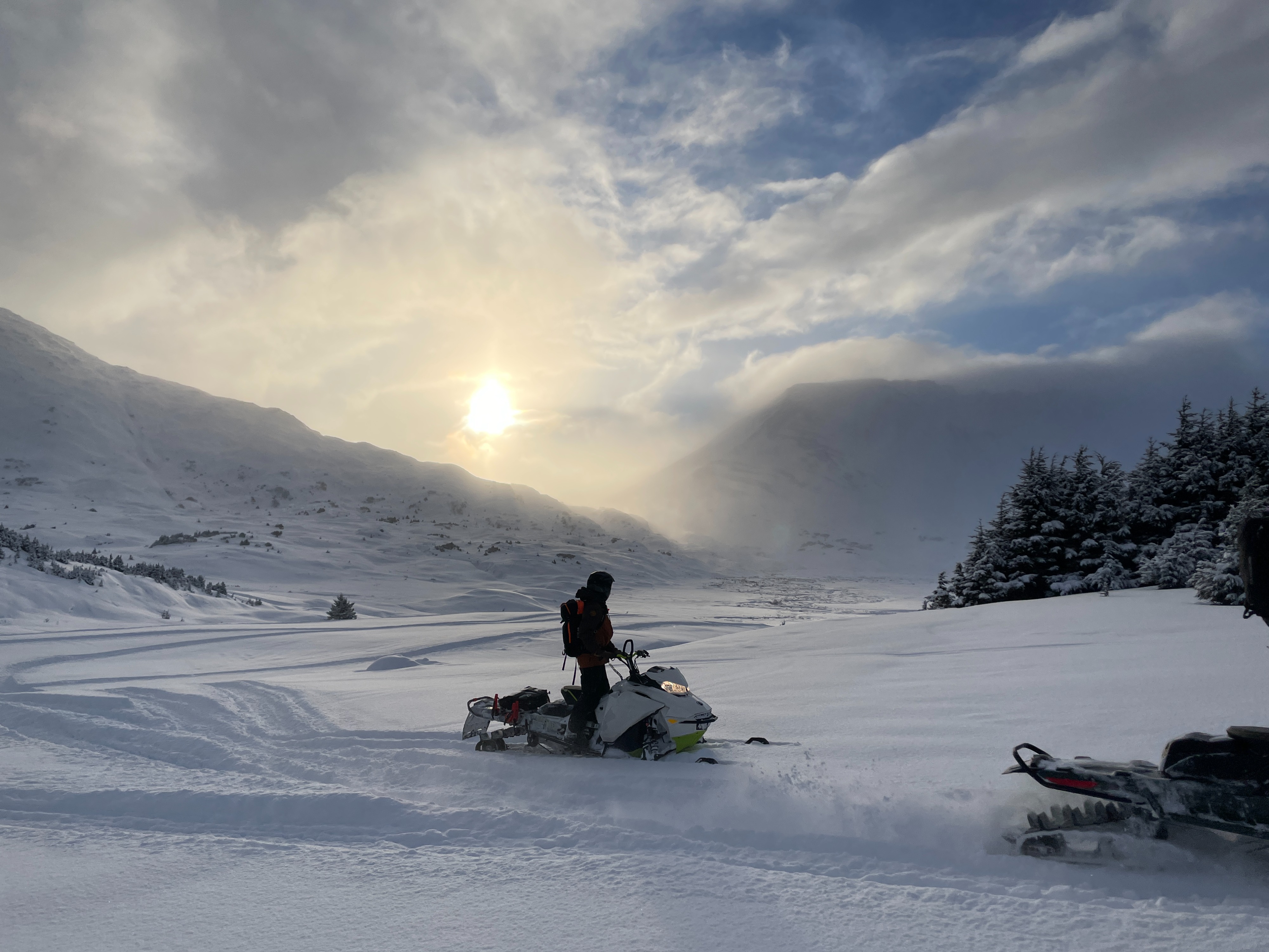
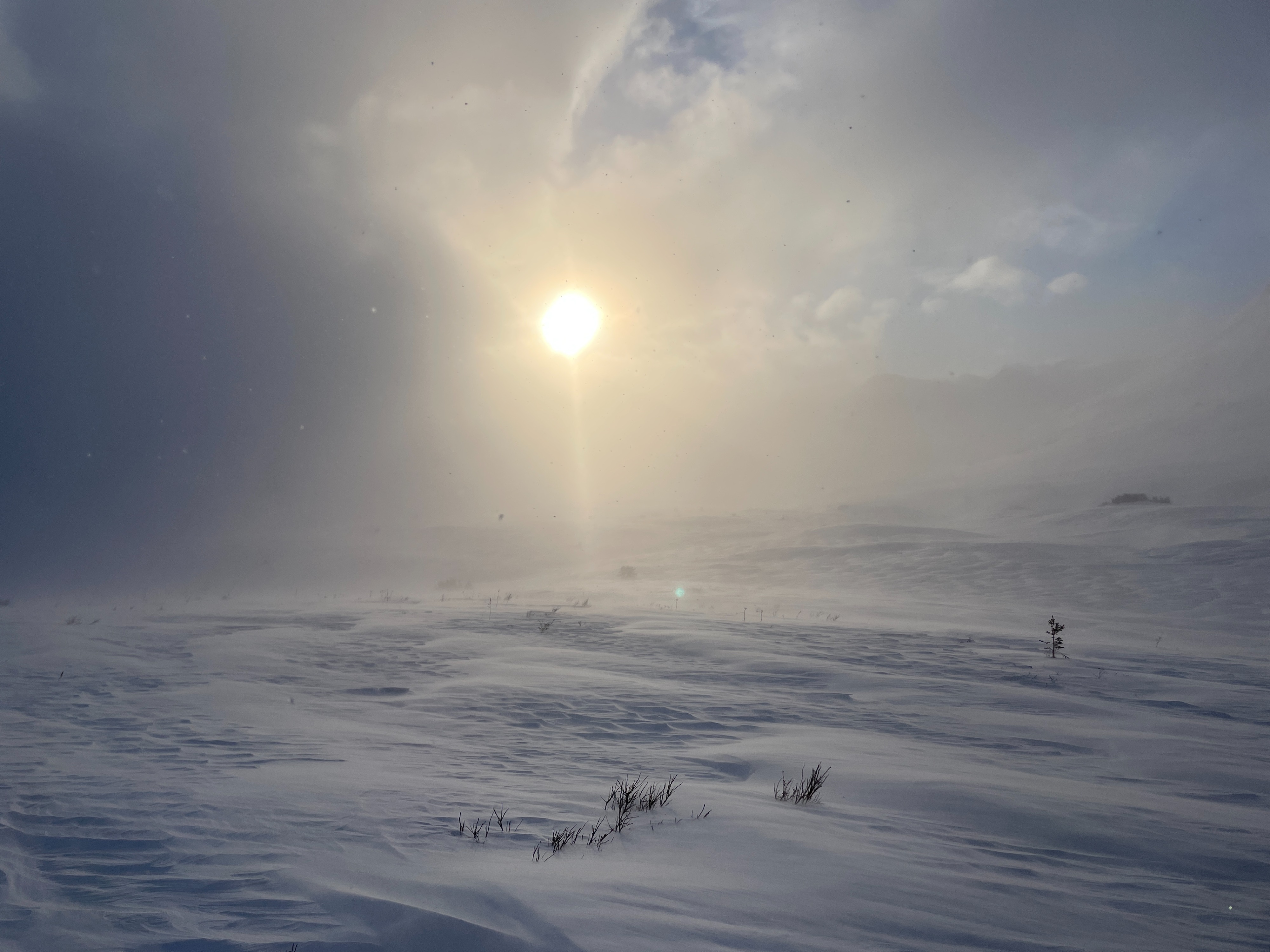
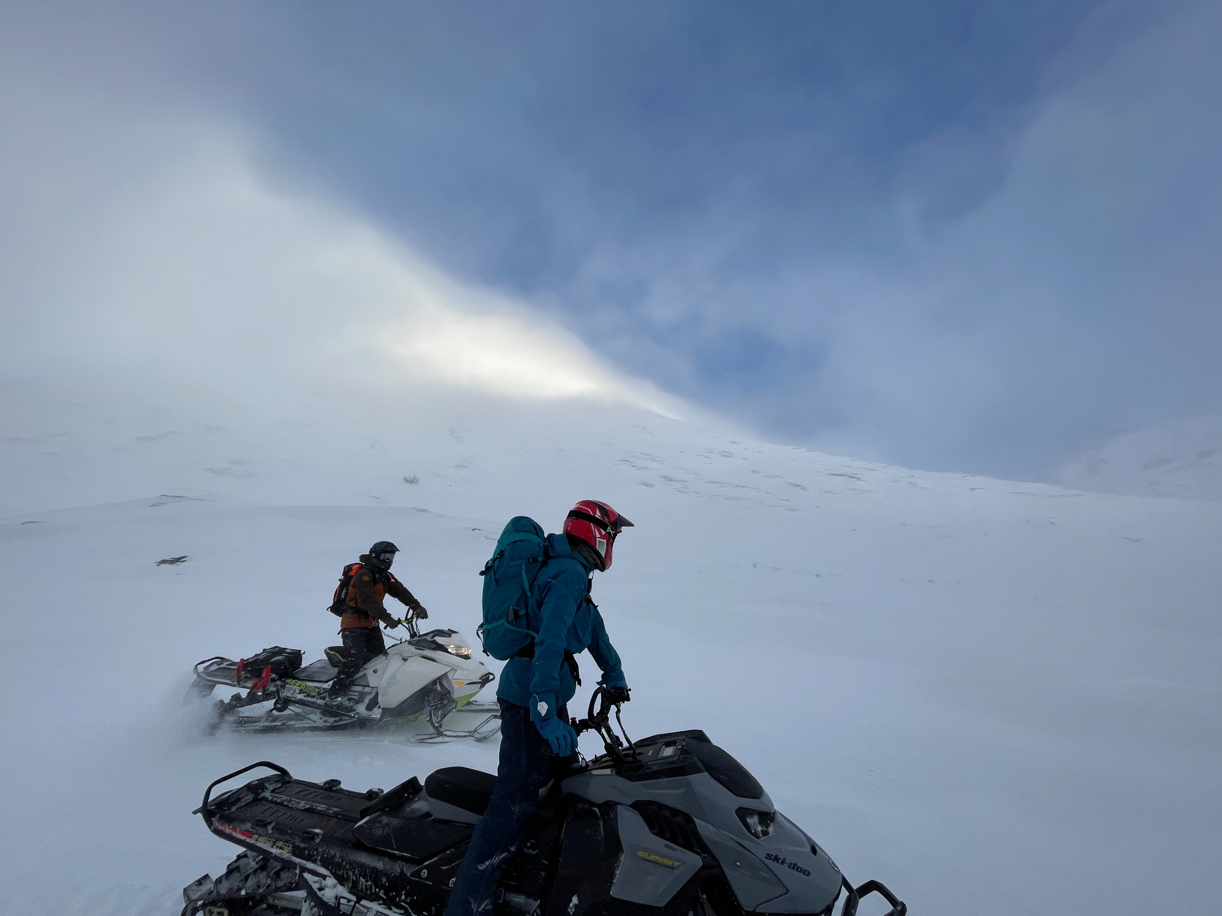
Mostly cloudy with some periods of sun in the afternoon. Winds were howling as we got into the Boulder Creek valley, but we were able to find protected areas as we got closer to Mt. Adair.
Snowpack
We did not dig any full pits, but we dug many quick hand pits and cut trenches in the upper 2-3' of the snowpack as we traveled. What we were finding in the Snug Harbor zone matched what we had been seeing in Turnagain Pass. There was about 10" low-density new snow on the surface, with a series of thin crusts and well-developed (2 mm) facets below that. These were easily failing in quick hand pits, and they seem like they will be a big concern with more wind or a new snow load.