
Quick report
- Collapsing
- Observed
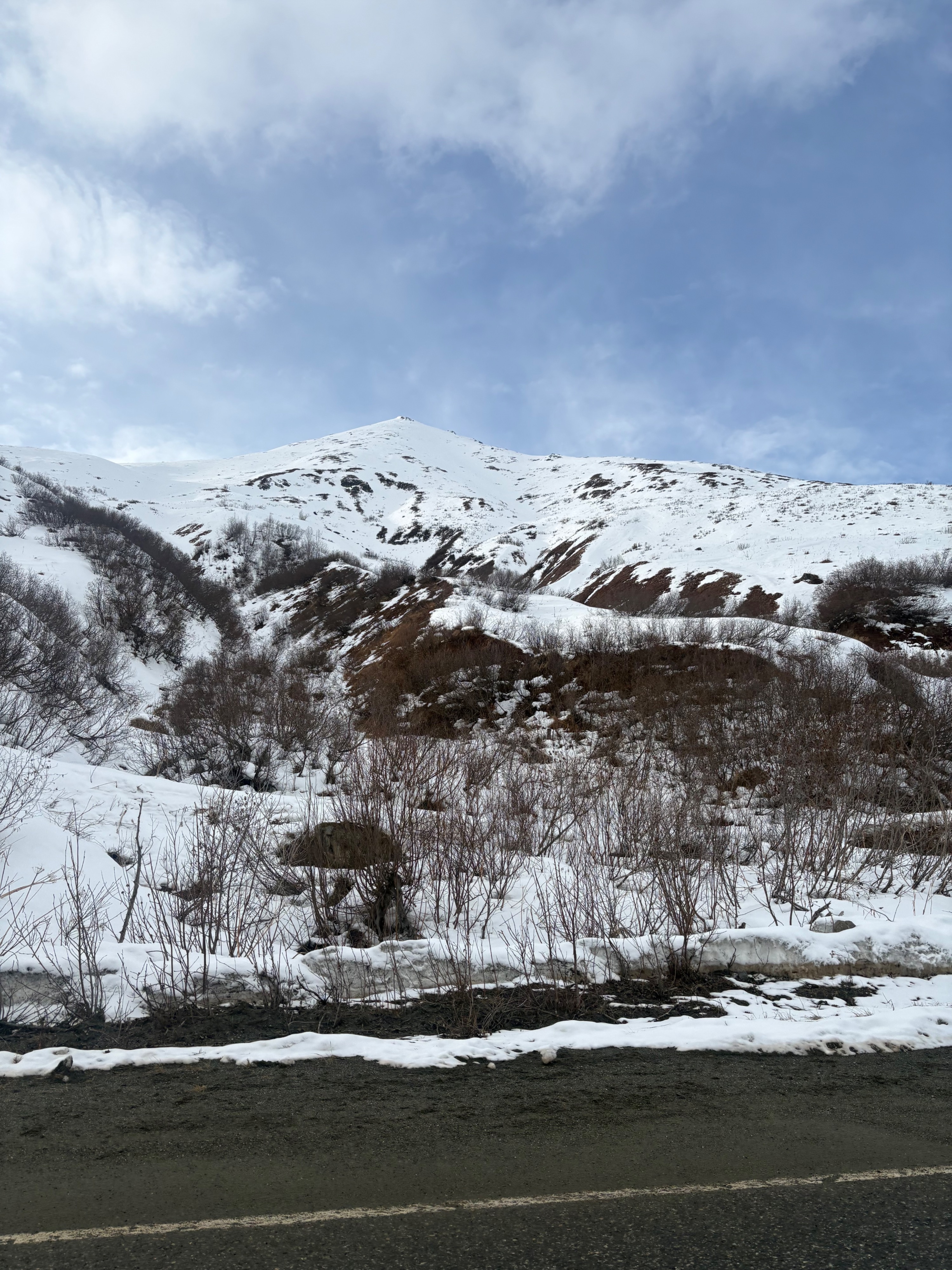
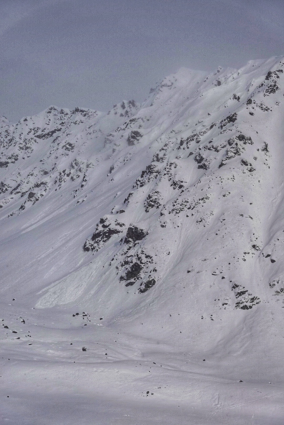
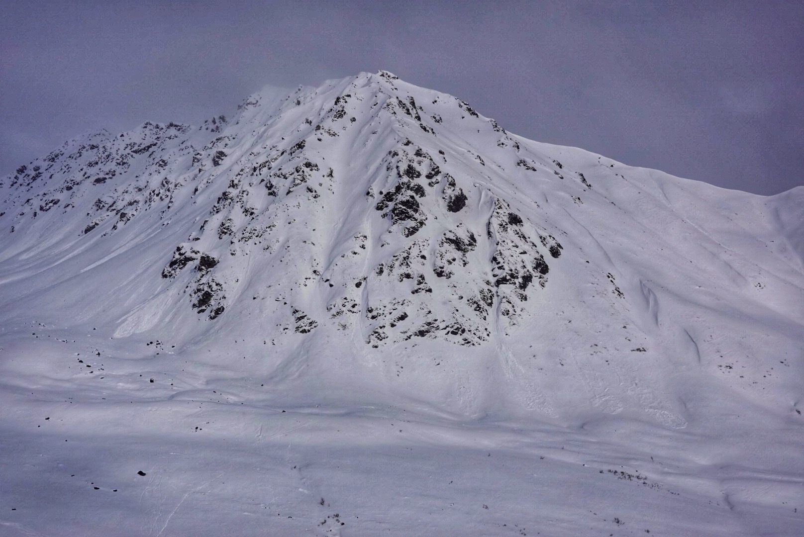
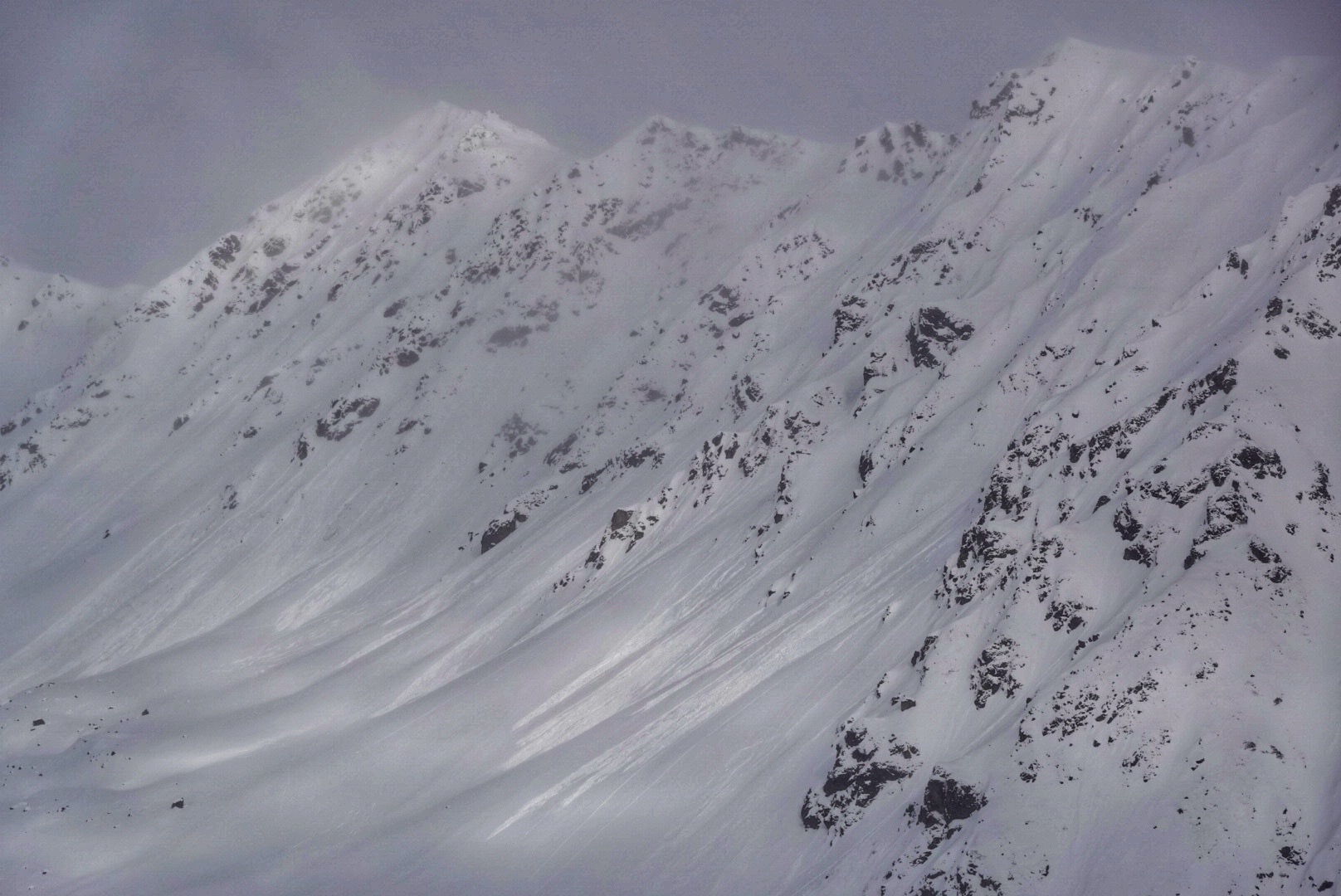
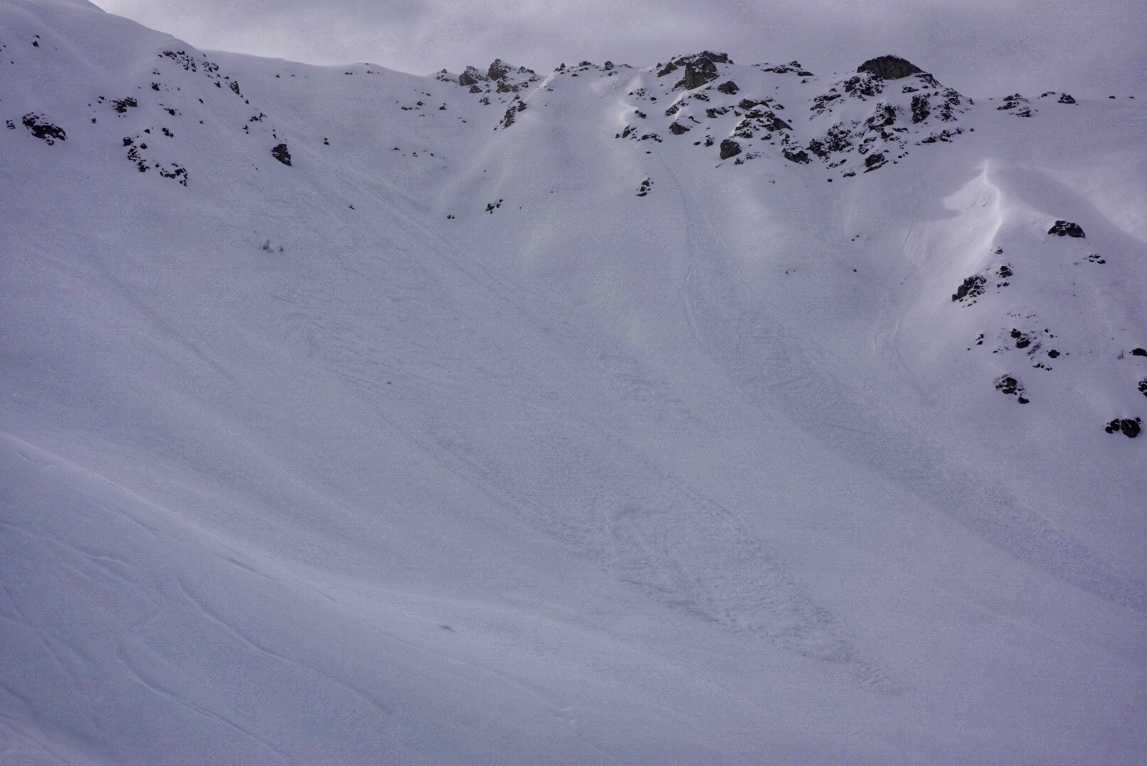
Got out for a quick lap up Eldorado this afternoon. On the drive up, it was apparent just how strong the elevation profile has been within the recent storm, with little to no new snow accumulating below about 2000 ft. A little squall of flurries and moderate snowfall quickly gave way to some sun breaks and strong greenhousing on my arrival around 4 pm. This warming initiated a number of natural avalanches on the west and north aspects of Marmot and Rae Wallace.
On my ascent, conditions were warm and muggy, and the new snow had become somewhat damp and heavy, with the new snow insulating a punchy and moist lower snowpack. Higher on the slope, above about 4000 ft, conditions were a bit drier, and the new snow felt like it had noticeably less weight. While I'm still mostly concerned about new snow instabilities, as these storms add up, some areas of our weak snowpack may not hold up to the additional load.
Observed a number of natural avalanches on the west and north aspects of Marmot and Rae Wallace, respectively. All were only in the new snow. Observed a couple more similar slides in Eldorado bowl and a couple small point release / soft slab avalanches on the Hatch Ridge. All activity was in the range of D1-1.5 I encountered one isolated collapse near the ridgeline and was able to dig down and identify a thin old wind slab on top of facets below all the recent snow.Weather
- Air Temp
- 30
- Cloud Cover
- obscured
- Wind Loading
- light
- Rain Elevation
- 12-1400'
- Recent Snowfall
- 25
- Snow Avail For Transport
- large amounts
Around 4 pm on the drive up, light rain changed to light snow around 1200 ft. Above 3000 ft snowfall was heavier but didn't last long. On my ascent to Eldorado, it was hot and muggy. Snow was damp and greenhousing was strong. At about 6 pm the sun seemed to loose it's strength and temperatures began to fall.
Snowpack
From IM Bowl up to Eldorado I encountered about 8-10'' of new snow. Some strong greenhousing had turned the snow damp and heavy. Up to about 4000 ft, the new snow was insulating a damp, punchy lower snowpack. While supportable, it was easy to punch a pole basket through the entire snowpack. Higher on the slope on a more northerly aspect, the new snow was drier and less affected by warming. Here, the old upper snowpack exhibited some signs of previous warming, but dry, loose facets were still plentiful in the lower snowpack.
On an easterly aspect a 2-3'' melt-freeze crust was observed under the recent snow. This crust was supportable on skis and I was able to initiate some small pushalanches on this layer lower on the slope. While it is evident that some weight has accumulated in the recent snow and could potentially stress buried weak layers, I only observed instabilities in the new snow.
Avalanche
Numerous small natural avalanches on the west and north aspects of Marmot and Rae Wallace, coinciding with some warming and strong greenhouse effect this afternoon.