
Quick report
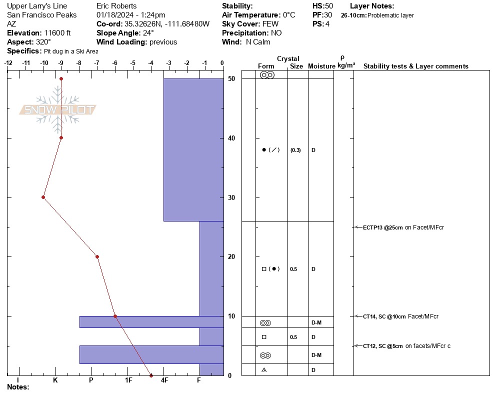
Overall, we conducted one test pit with results reflecting moderate structure, moderate strength and moderate propagation propensity, with evidence continuing to point towards widespread advancing facets in the mid to lower snowpack and sporadic variance in midpack melt-freeze crusts.
Weather
- Air Temp
- 32*F
- Cloud Cover
- few
- Wind Loading
- previous
- Recent Snowfall
- NO
- Snow Avail For Transport
- small smounts
28-35* Moderate northerly winds in AM which shifted to Calm NW by afternoon Clear to FEW NO Precip, Rime was still present from 12-24 hours prior at 10,200'-11,600'+
Snowpack
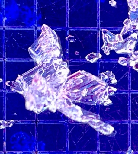
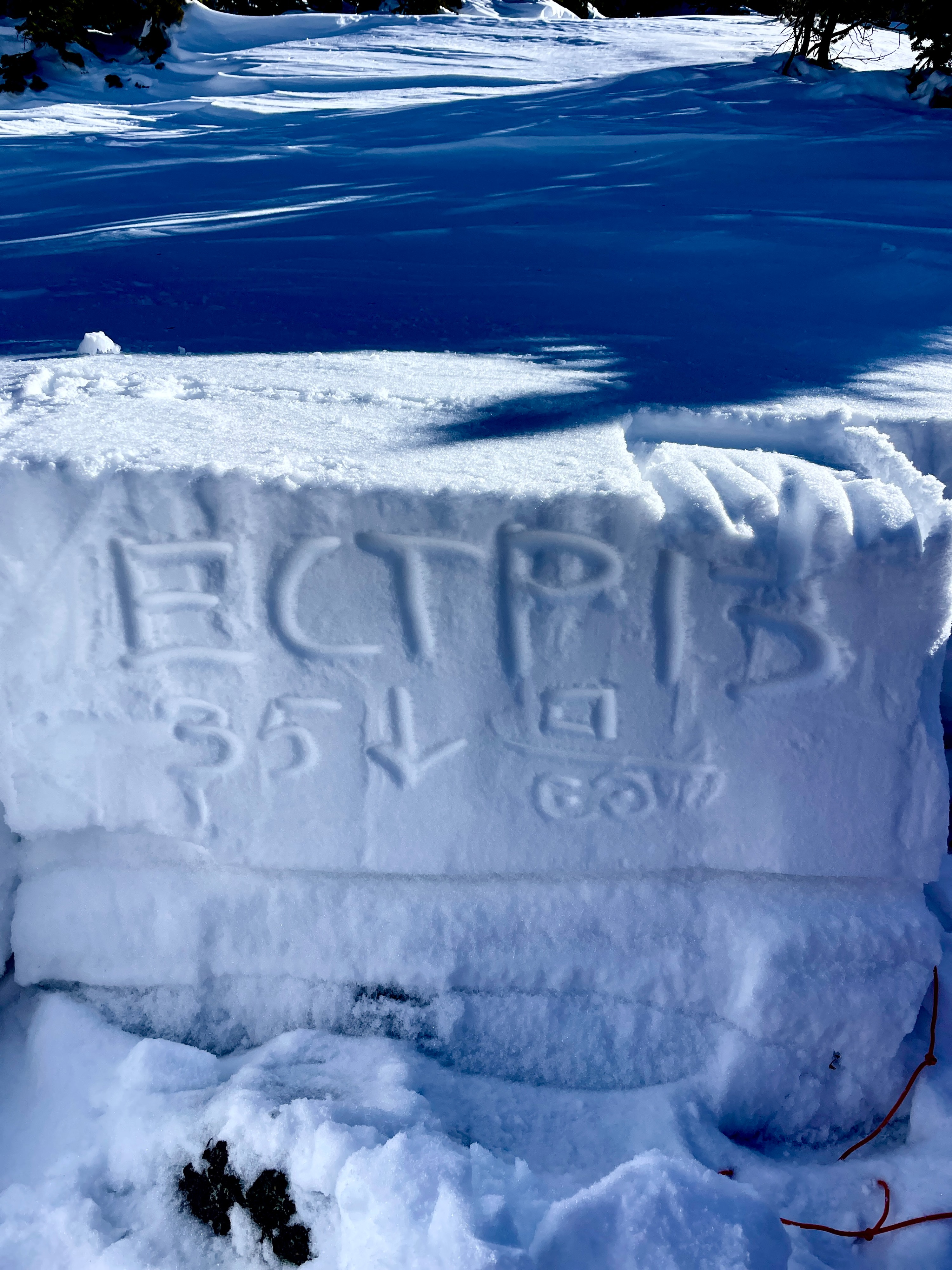
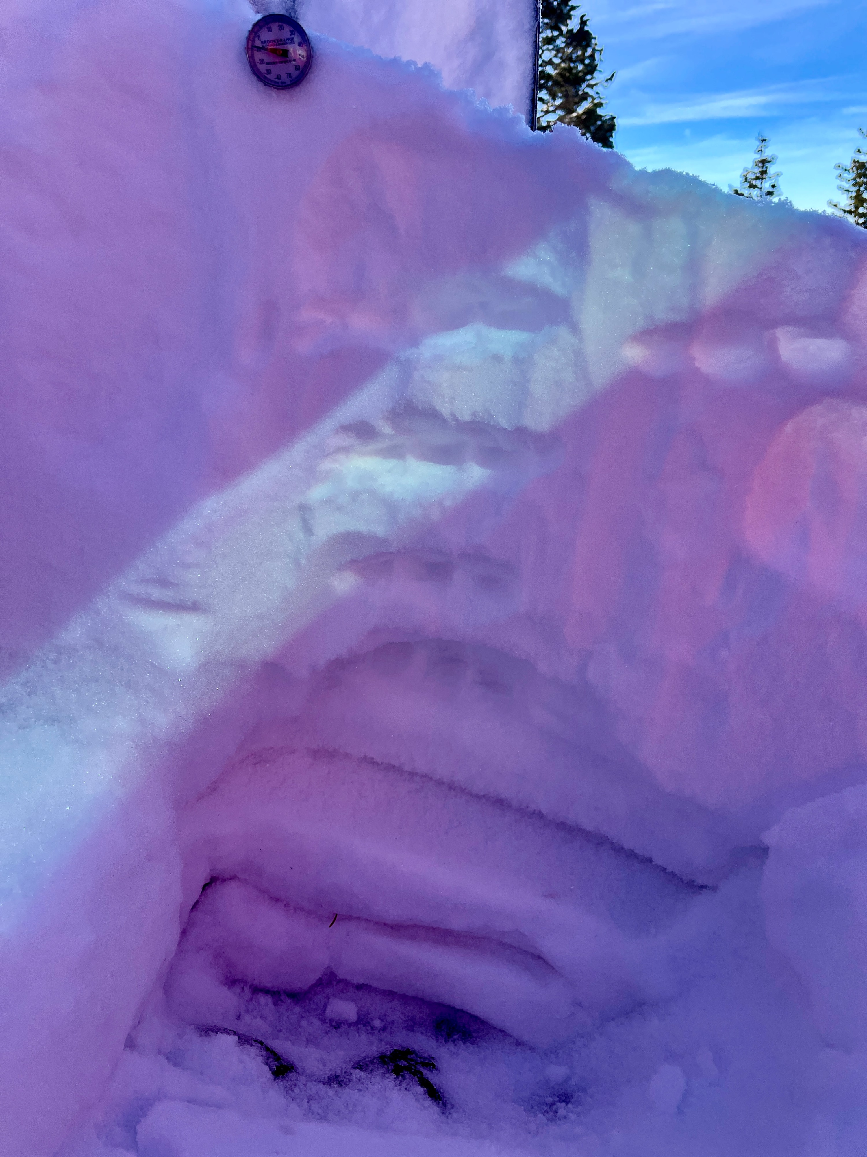
Snow Surface: Dry to Moist melt-freeze (sun affected) crust (4F) Anti-tracks were still visible but softened and blended from previous tours. Overall, the snowpack is still highly variable in depth, structure and connectedness, due to lack of BTL,TL and alpine information. Wind loaded areas are ranging from 30cm to 150cm and exposed ridgelines and terrain have typically been observed as scoured or thin. Sun affect has created a brittle and slightly stiffened surface which is a layer to track for future accumulation. We received propagation on large column testing that revealed no other than...facets over a melt-freeze crust. The crust, or double crust, is pronounced and confidently sturdy, unlike I have seen in other pits this season, which harbors a sandwich of facets below. My layer of concern are the initial facets potentially growing above the first crust and will investigate its growth potential over the next week. No wind slab was observed within our general area, though trees were potentially protecting full circle around the test site. Coverage is thin and chances of hitting a stump or rock may be of the greatest hazard as the sun is settling and potentially melting thin areas. *See Snowpilot for details*