
Quick report
- Collapsing
- isolated
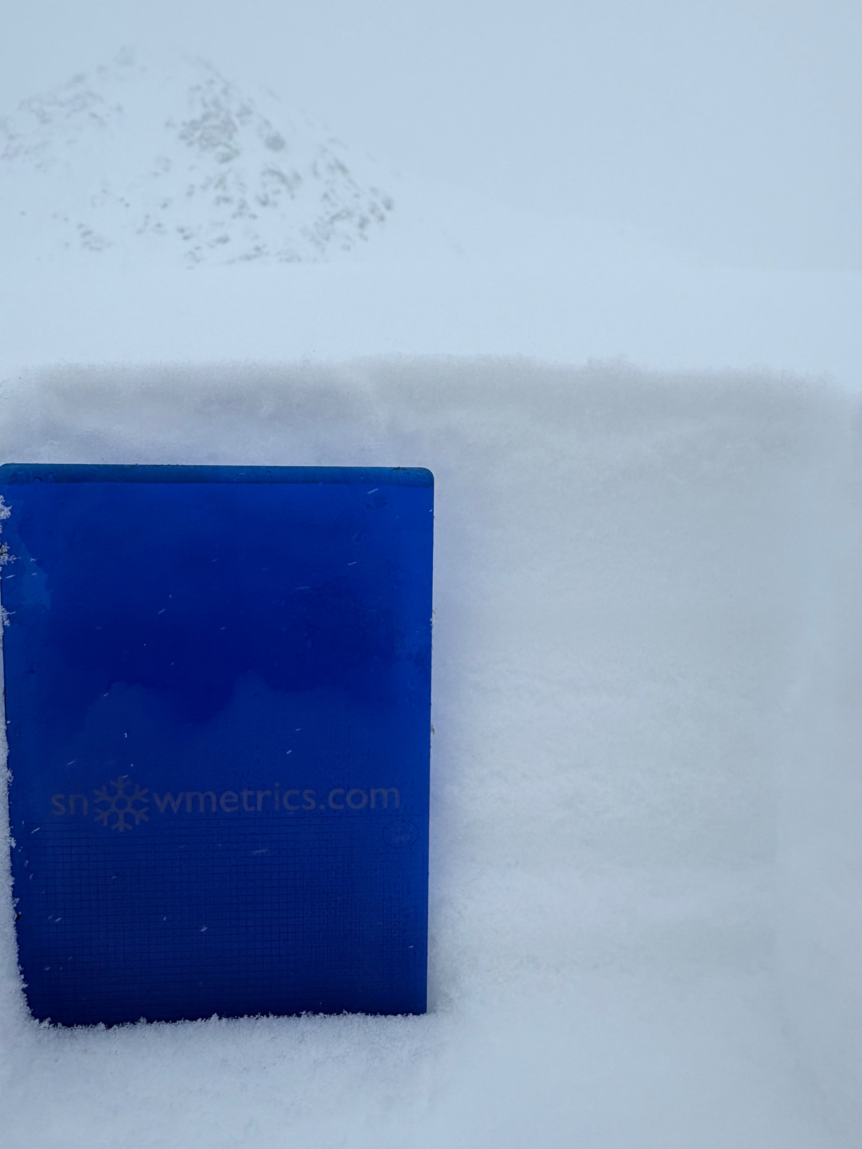
Made a trip to the pass to see how the storm was stacking up. On the drive up, snow turned to freezing drizzle just after crossing the Little Su and was observed all the way into IM bowl. In the IM lot we observed about 1/2'' of dense new snow and freezing drizzle crust that was capping last weekd light, dry powder. Visibility was obscured by low clouds and the occasional pulse of snow but folks were out recreating and we observed nor received reports of any natural or human triggered avalanches.
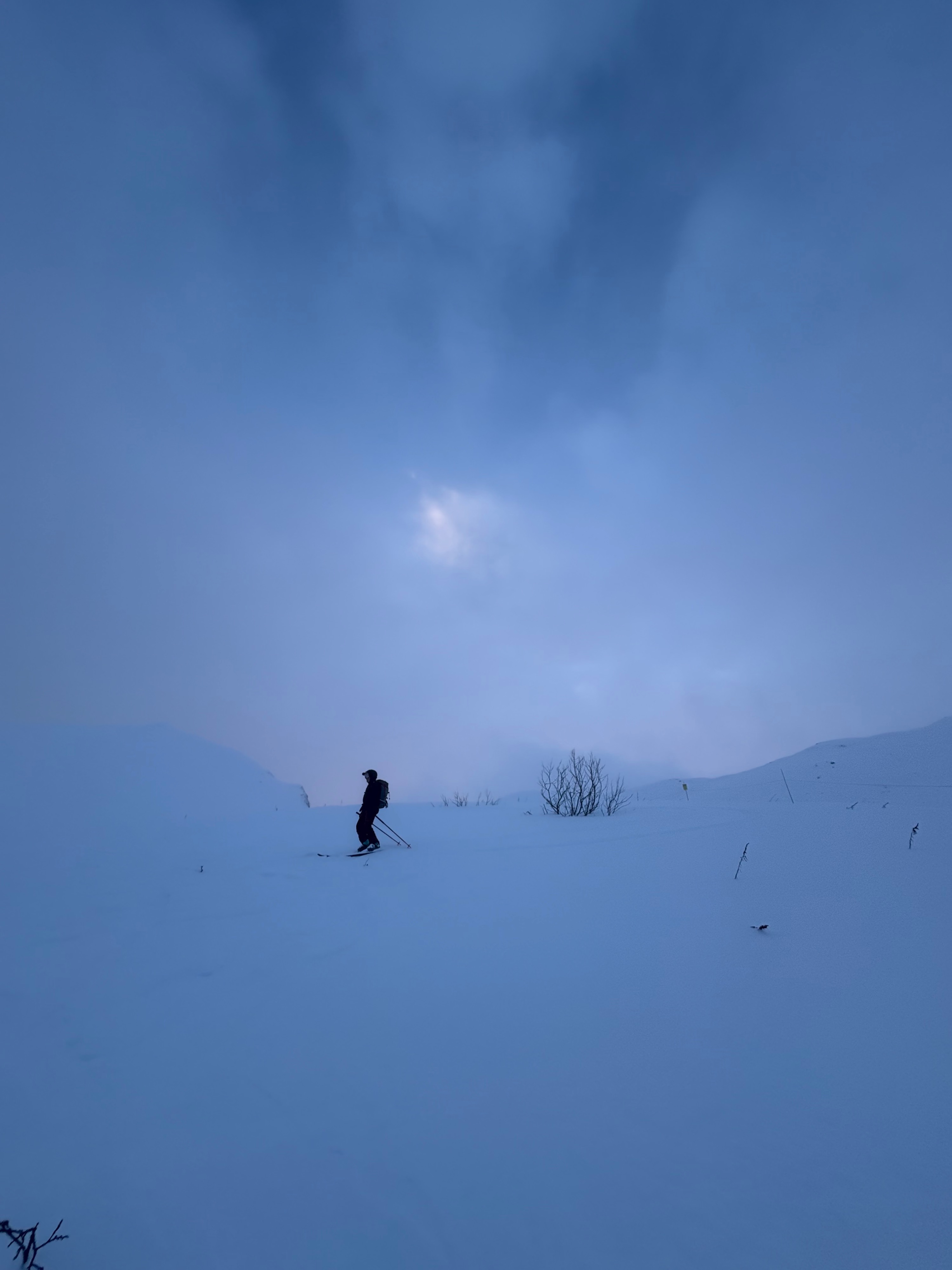
We made our way back to lower elevations and decided for a lap up alongside Skeetawk and towards the Frostbite Snotel. By the time we arrived at the weather station, obscured low cloud was breaking and we had decent visibility on 4068' and into the valley towards Government Peak. We made a quick lap up the shoulder and skied the Sunnyside of 4068'. We encountered a couple of small, isolated, but deep collases on the established skin track but otherwise observed no instabilities.
The freezing drizzle crust had worked to cap last weeks cold, dry snow and limit transportation. Scouring along the ridge and some strong gusts were observed from about 2500' and up.
The crust was noticable but teribly impact the skiing quality, if anything it's served to help tie in new and old snow and limit transportation and small or isolated instabilites.
A calming pink hue radiated from Government Peak on our descent and lit up the higher peaks of Akrose with a couple small pockets of visiblity. Happy V Day.
Encountered a couple of small, isolated, but deep collapses on the established skin track lower on 4068'. These were in shallow, low angle terrain.Weather
- Air Temp
- mid-upper 20's
- Cloud Cover
- obscured
- Wind Loading
- moderate
- Rain Elevation
- all
- Recent Snowfall
- 4
- Snow Avail For Transport
- moderate amounts
Light snow gave way to freezing drizzle at all elevations by midday. Periods of stronger precip brought actual snow and a cooling trend at the tail end of the storm led to conditions drying out. In all HP picked up 2-4'' of snow @ about .5'' SWE which played out as a dense 1/2 inch of snow and freezing drizzle and a few inches on top.
Snowpack
This week's wonderful, dry, right side up snow was capped yesterday with a few hours of freezing drizzle and some light snow. Settlement generally outpaced accumulation so while HP probably picked up 2-4'' throughout the forecast area, this just worked to tamp down last weeks cold, dry powder and our height of snow remained the same.
While some light density snow and possibly surface hoar was observed preserved under this drizzle crust and new snow, the weight and accumulation wasn't enough to create much instability. Hand pits revealed easy shears on the top inch or so of snow, but this didn't seem to translate broadly on the slopes. Test slopes were stubborn and unreactive and no natural actity was observed.