
Quick report
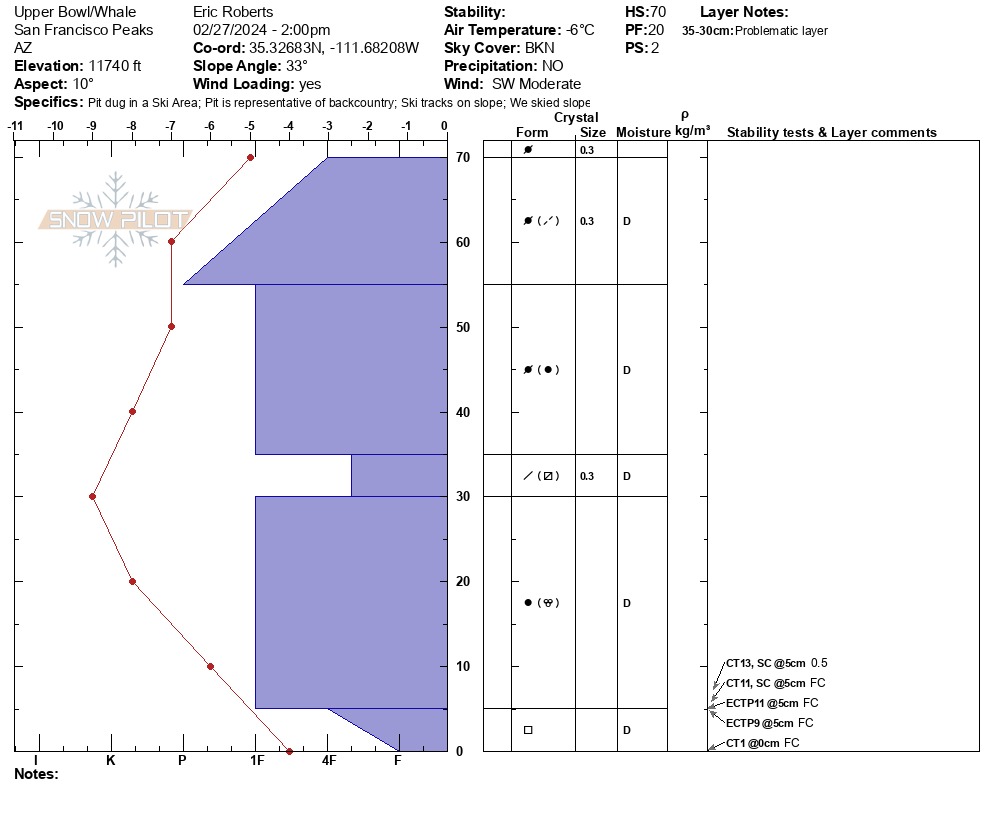
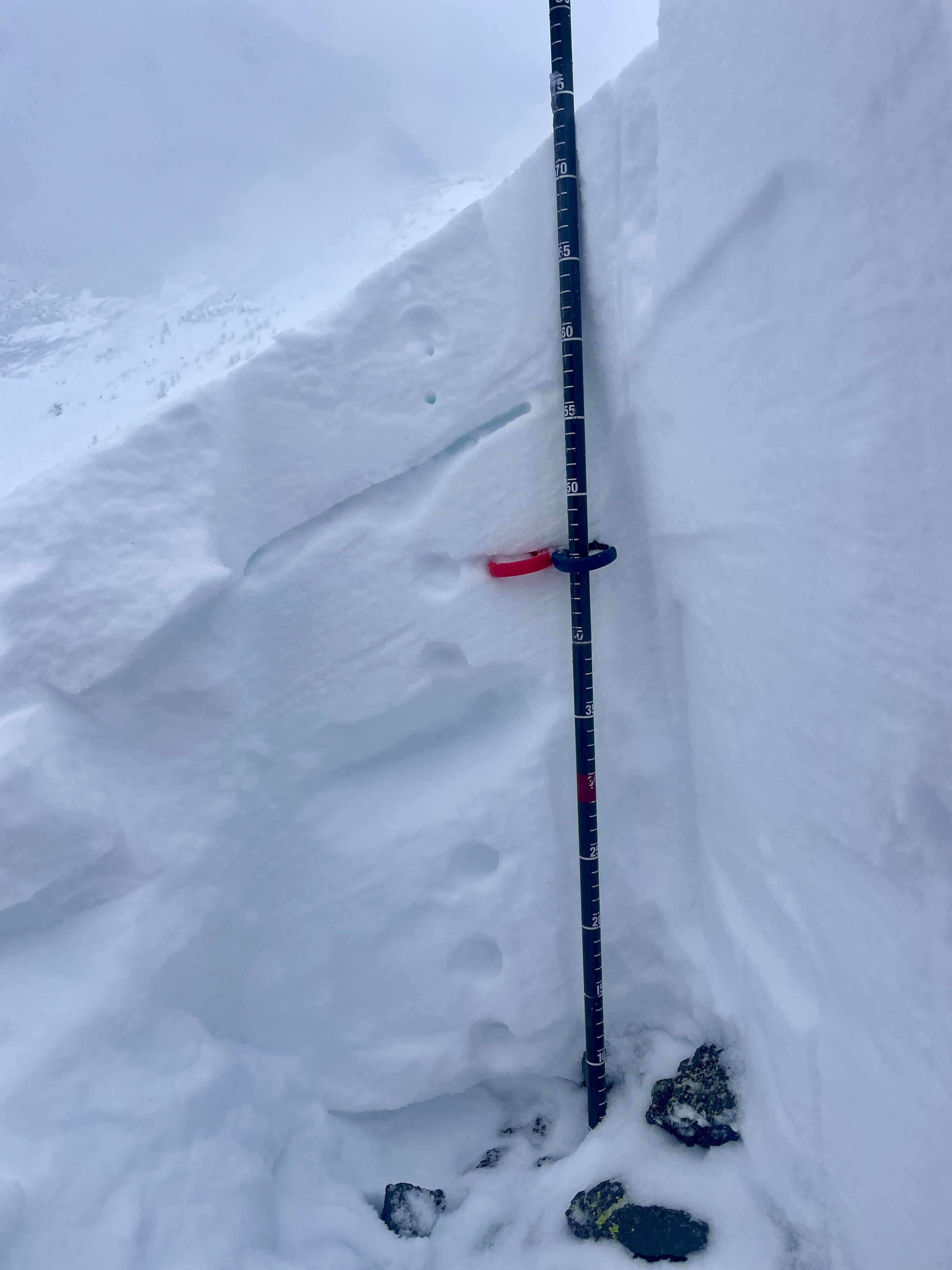
Instability tests reflected moderate structure, poor to moderate strength and moderate propagation propensity. Active wind loading
Weather
- Air Temp
- 28F
- Cloud Cover
- broken
- Wind Loading
- light
- Rain Elevation
- 8500'
- Recent Snowfall
- 4cm
- Snow Avail For Transport
- small smounts
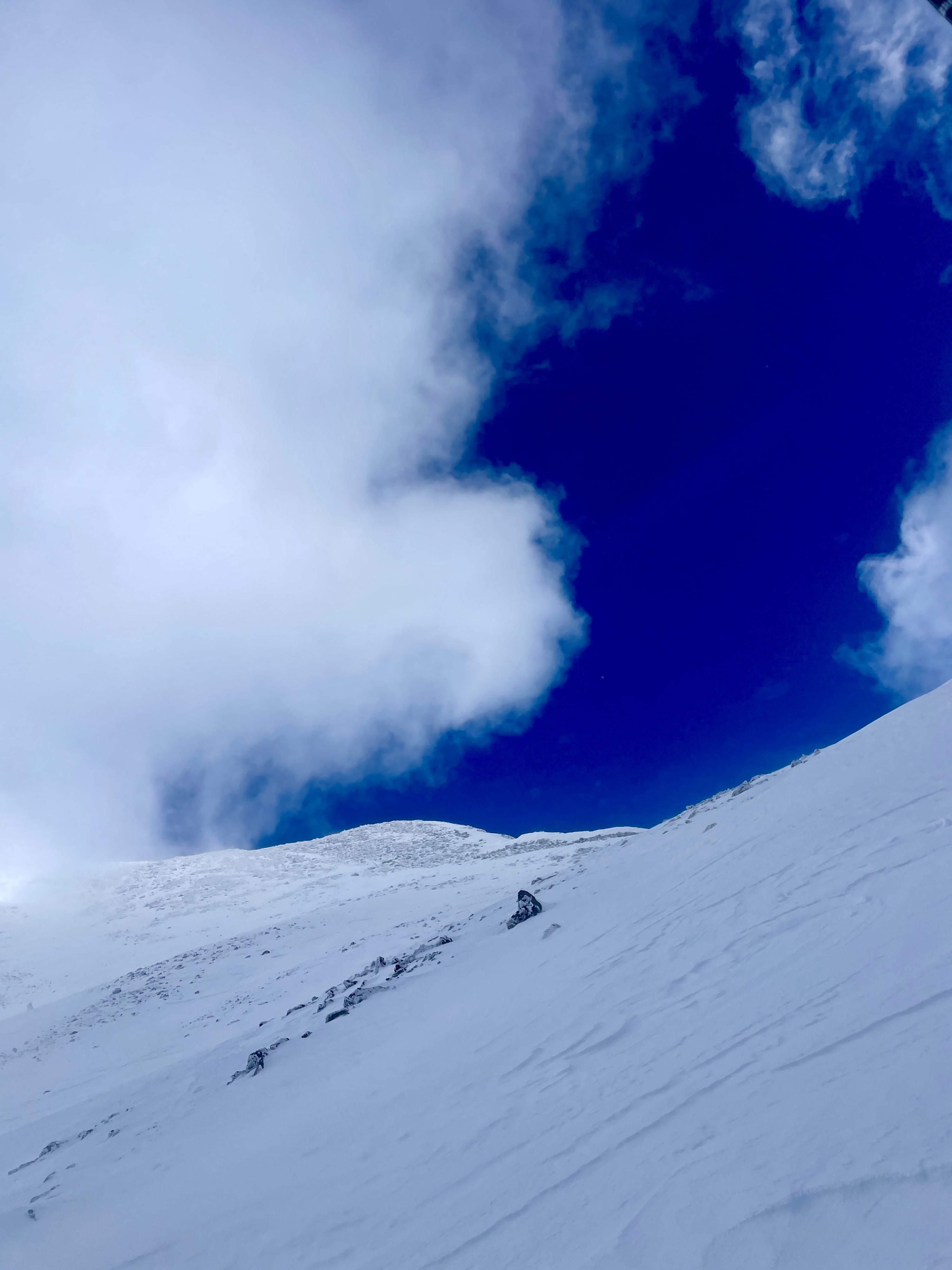
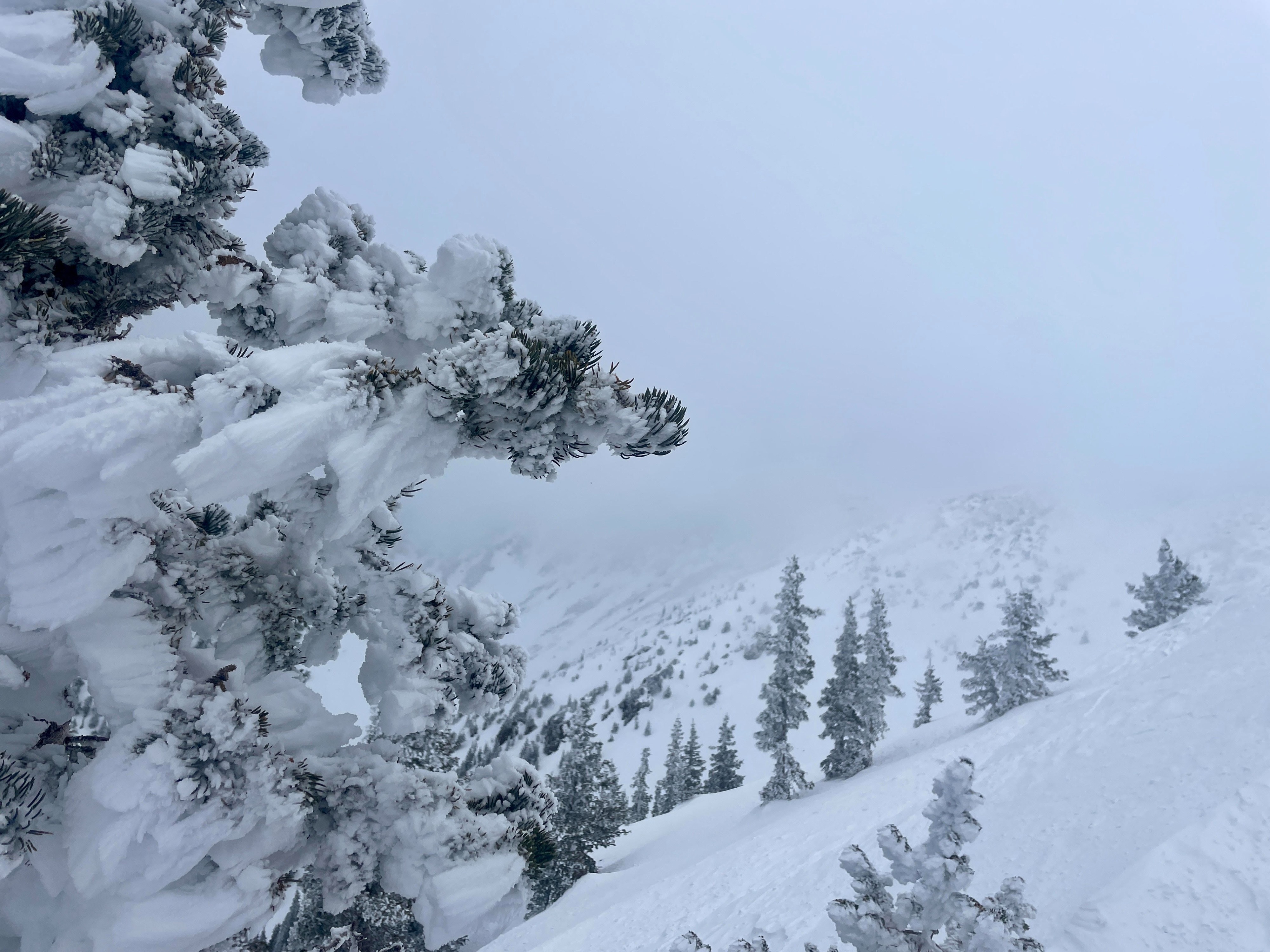
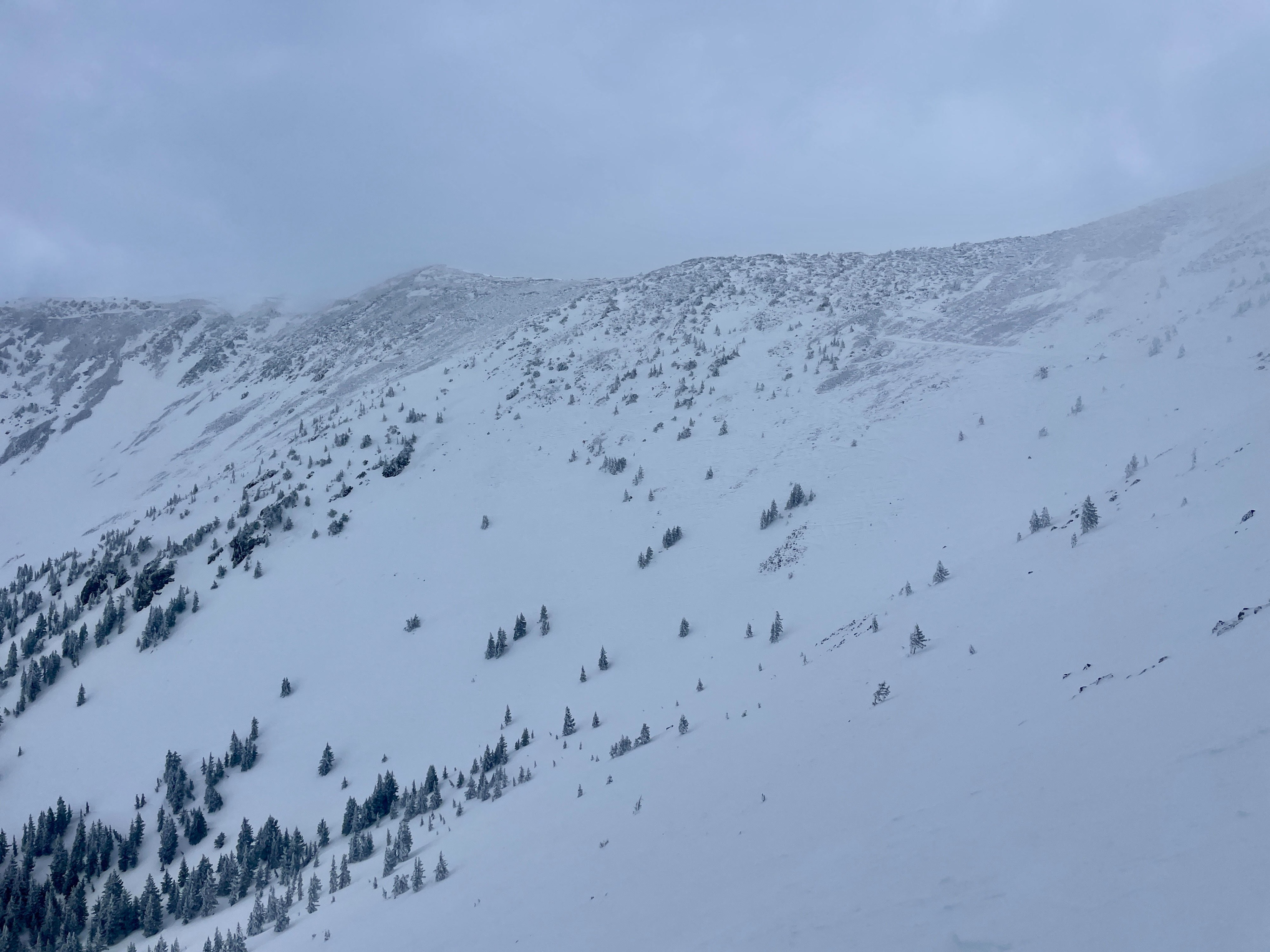
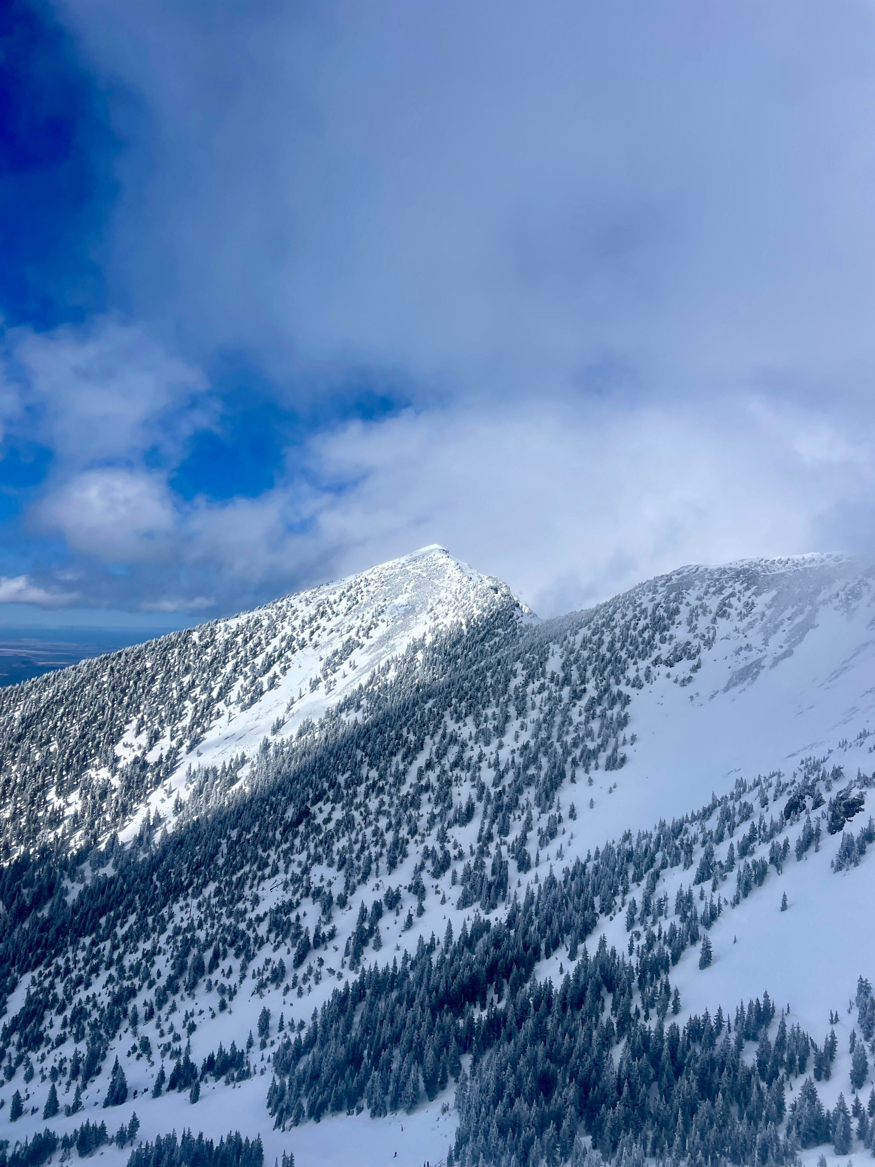
Moderate SW winds with sporadic SW/W gusts up to 25 mph Scattered to Broken sky with periods of Bowl Fog, obscuring the upper ridgeline of Agassiz/Humphreys 28F No active precip 1-4cm of rime present on Man-made/natural objects 9,000' and above
Snowpack
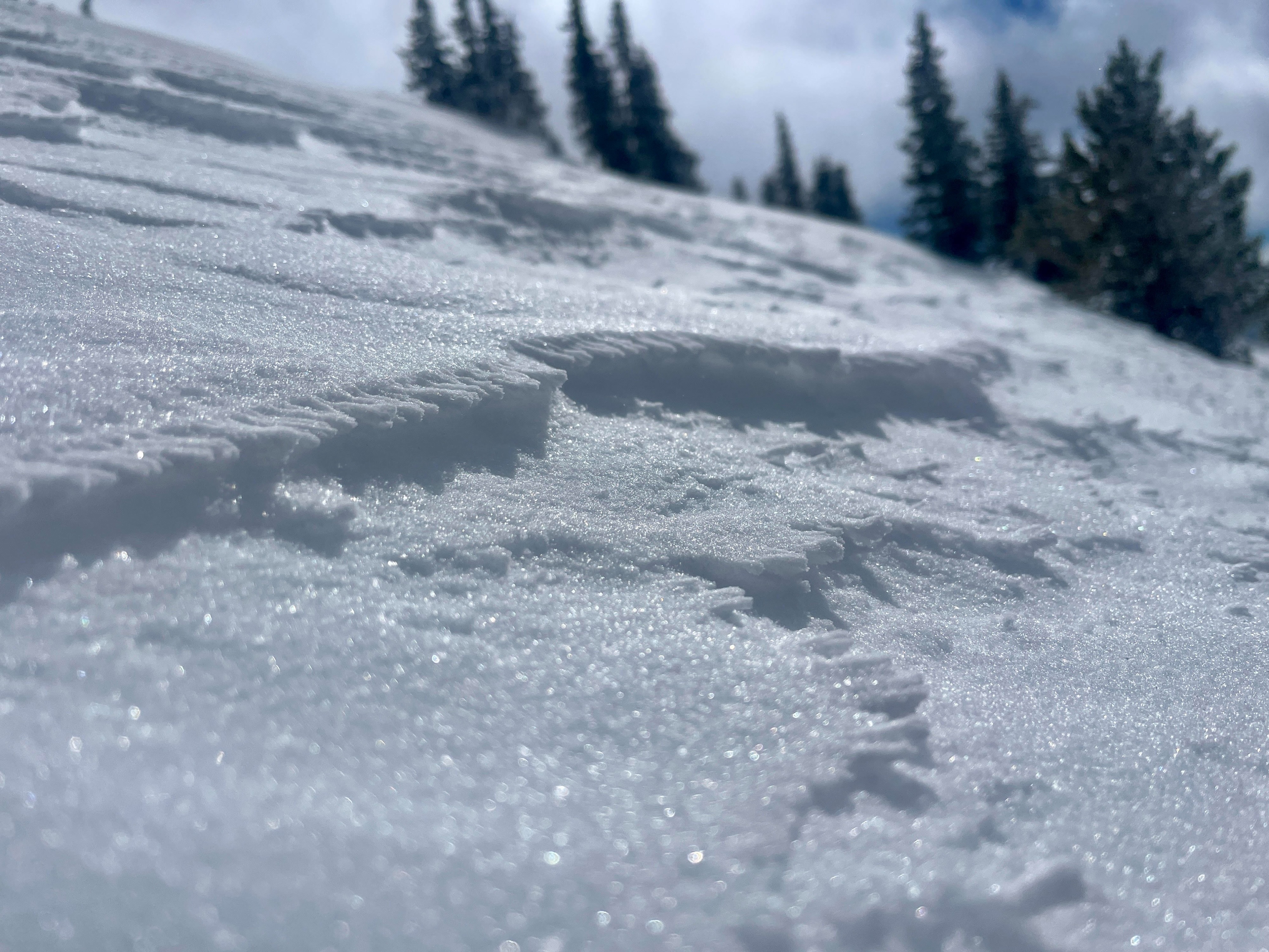
Snow Surface: 1F+ to P hard wind stiffened surface of 5-20 cm in width on NW-N-NE aspects post storm with 4F- to F hard in protected areas. (Previous) The primary change in snowpack conditions has been depth hoar size potentially sintering and decreasing in size in multiple snowpacks, primarily on Northerly aspects. This change is reflected as 0.5-1mm DH, in comparison to 2-4mm DH in previous weeks. An additional change in observation has been the NSF's 10-15cm below surface and 0.5mm width in shallow N aspects that could be a layer to track in weeks ahead. Height of snow (HS) is variable ranging from 60-80cm in most N aspects with 100-150cm in loaded micro-drainages and wind loaded aspects. Surface conditions may present with the most risk in early morning hours when melt-freeze crusts and stiff conditions are supportable and slick.