
Snowpack
Temperatures have been steadily increasing since 4/28 and the snow surface easily depicts this. Beginning Friday 4/28 temperatures in the mountains have been above freezing, and while some flash freezes have been occurring on open slopes, the evenings aren't truly locking up the snowpack - thus we've been gradually dealing with weakening conditions each day. Take a look at the temperature profile on the snowfall tracker here - you'll notice the maximums and minimums rising each day.
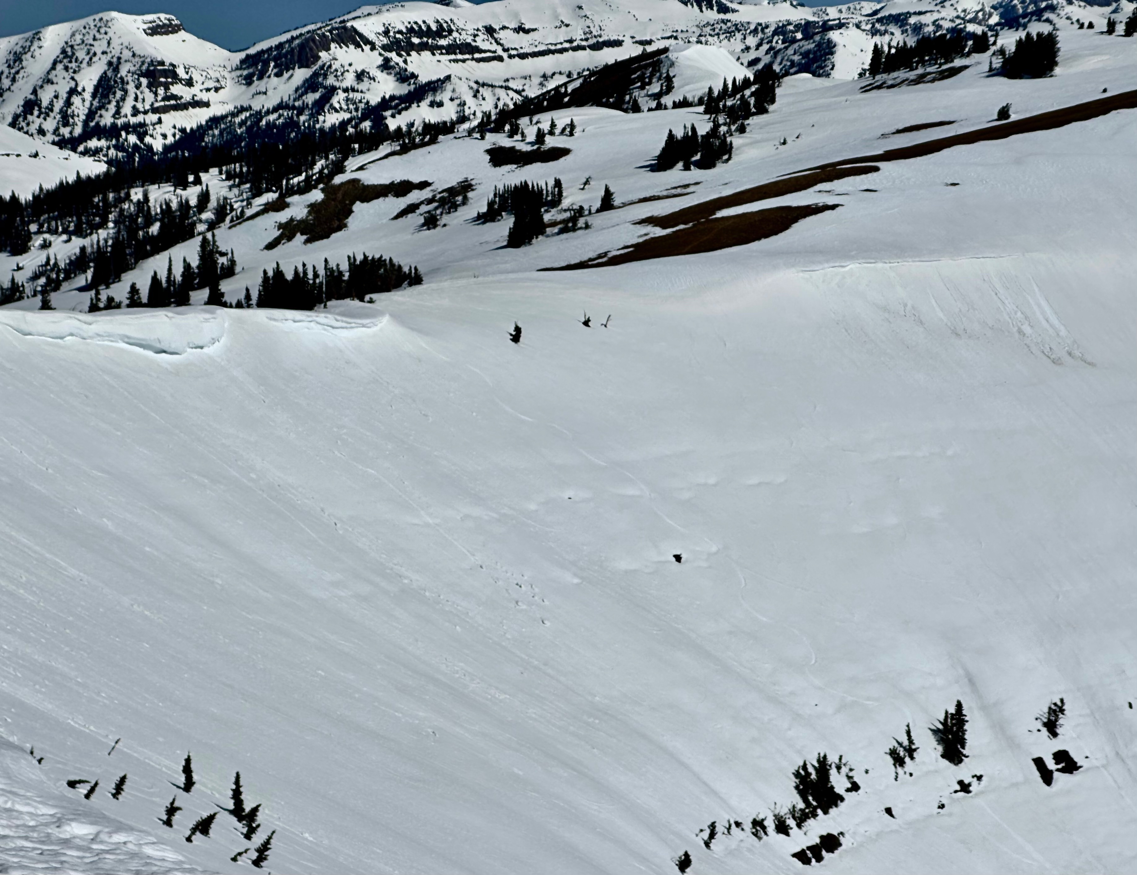
Conditions today matched this, with a flash freeze that quickly turned to isothermal snow conditions. The east winds that were consistently ripping in the 20s with gusts above 30mph couldn't help either, as the snow became weak and unconsolidated by mid-morning. Rollerballs were tumbling and entraining some wet slush-like snow, which was to be expected. On Little Tucks the upper rock band is beginning to poke through. Areas with these characteristics are highly suspect during conditions like these, as they are prime locations for the potential of wet slabs or glide cracks - given the lack of refreezes and meltwater percolating through the snowpack. See the picture below.
Thursday's mountain forecast for a mix of snow and rain, followed by a cool down will be much needed to slow the roll of this meltdown.