
Quick report
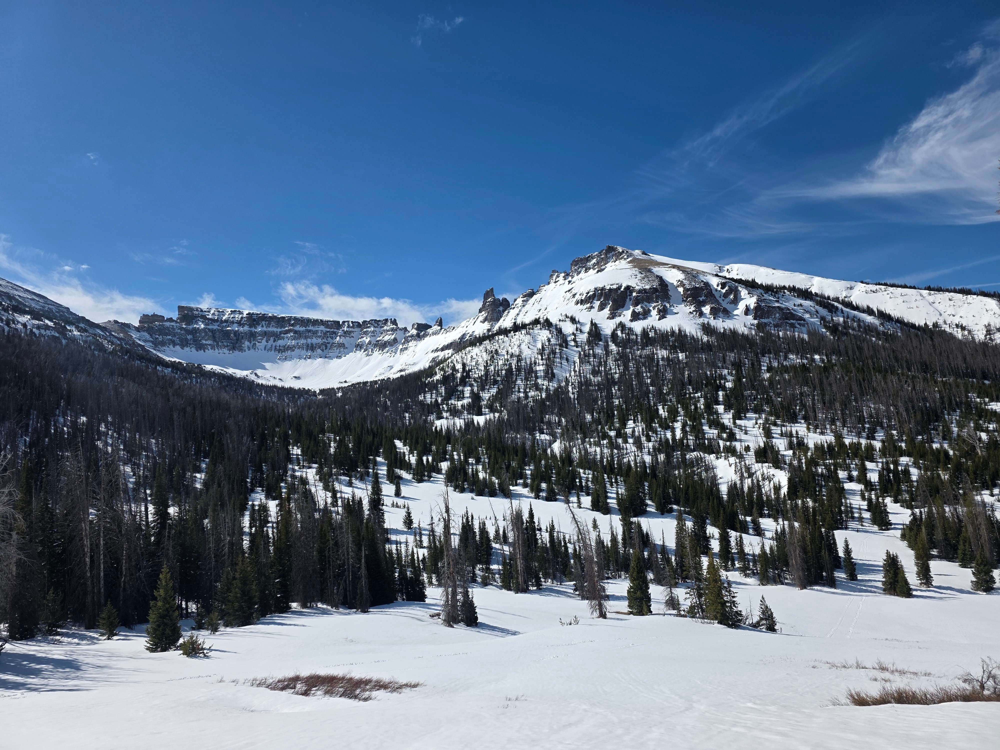
The only cold snow I could find was above ~9,700 feet on north facing slopes. Otherwise, all slopes had a melt freeze crust on them. Slopes with direct sunlight started to soften around 10:00 AM.
The wind at the end of the last storm left many of the high mountains stripped of snow and heavily wind affected, although I could see some tracks in sheltered areas where people found good riding.
Areas that had cold snow still seemed to have an upright snowpack with no notable hardness changes in the snow from the last storm.
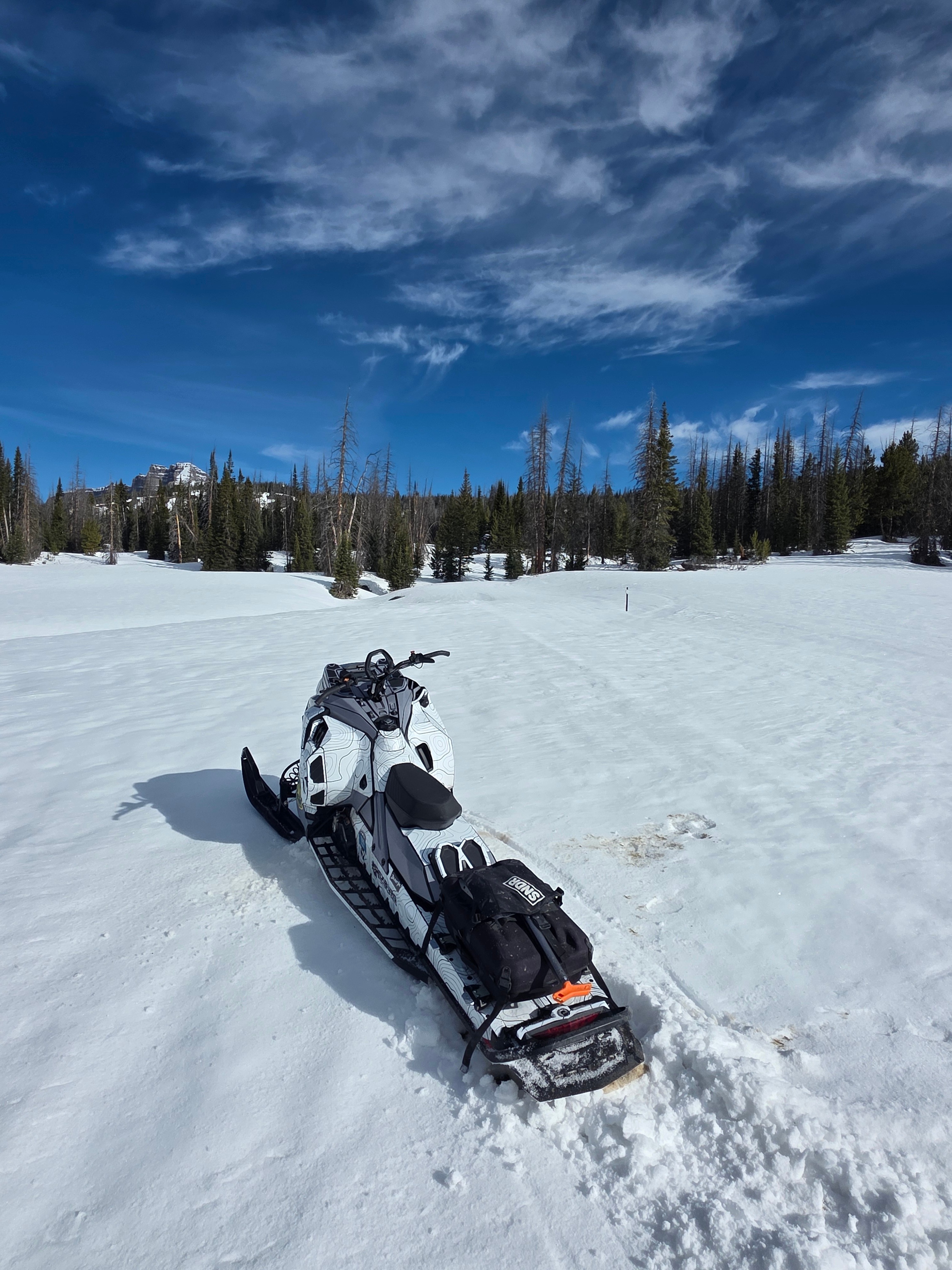
Travel is still pretty good if you can get on an old trail. Steep southerly slopes and places around trees are starting to melt out, but you can still easily get around if you do not mind firm or breakable surfaces.
My biggest concern for avalanches would be wet loose avalanches on steep slopes that face east, south, and west later on in the day. The mornings are probably low danger, but strong April sun can destabilize solar aspects as the day moves on.
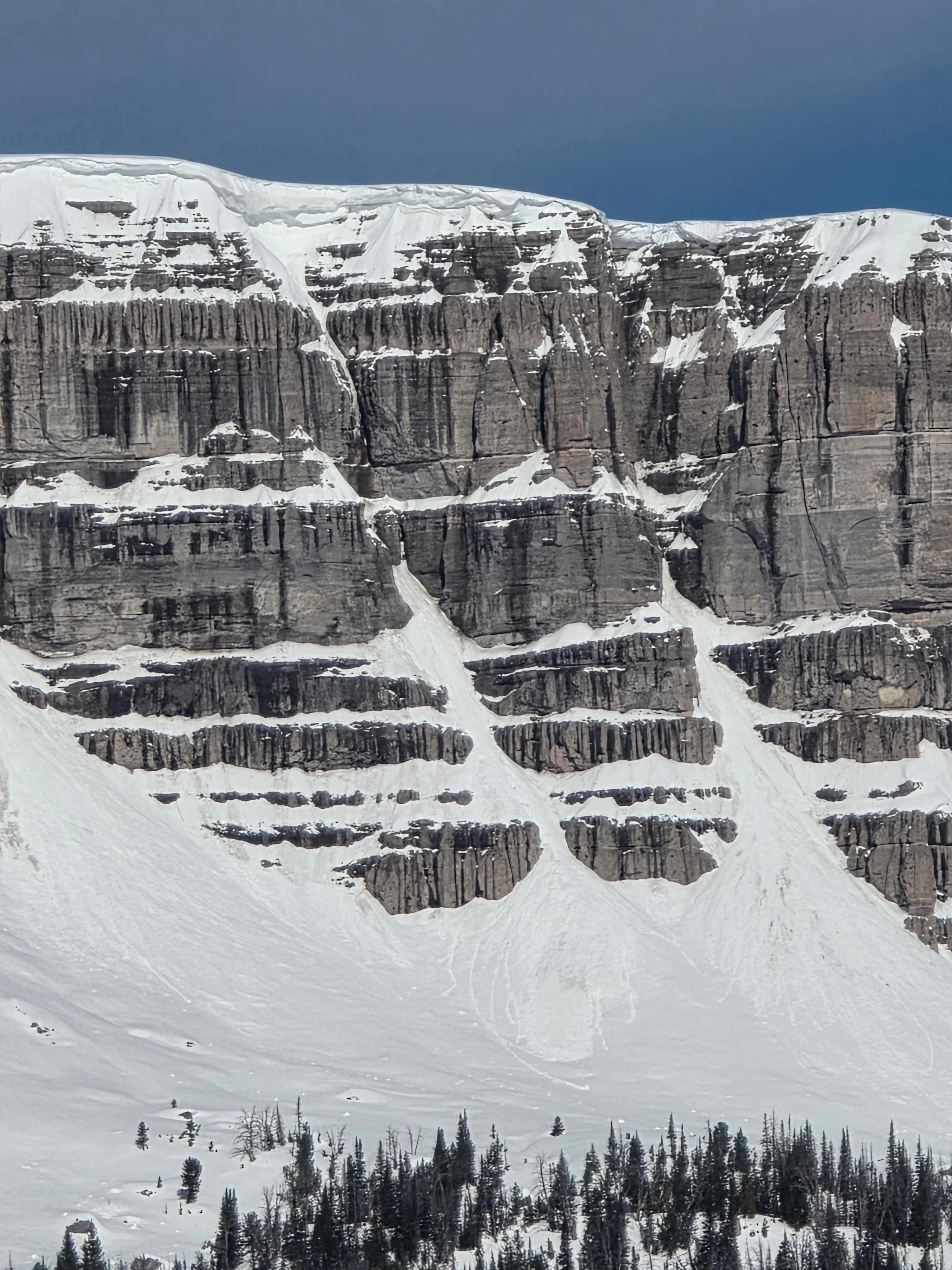
There are still large cornices on ridgelines, it is best to avoid these, especially as they warm up during the day.
I a saw some old wet loose avalanches that happened off of Brooks Lake Mountain and Mount Sublette, but nothing that appears to have happened in the last 48 hours. Otherwise I noted no natural or human triggered avalanches.Weather
- Air Temp
- 36 at the car, colder up high.
- Cloud Cover
- few
- Wind Loading
- none
- Snow Avail For Transport
- small smounts
A few wispy clouds up high. Calm winds.