
Quick report
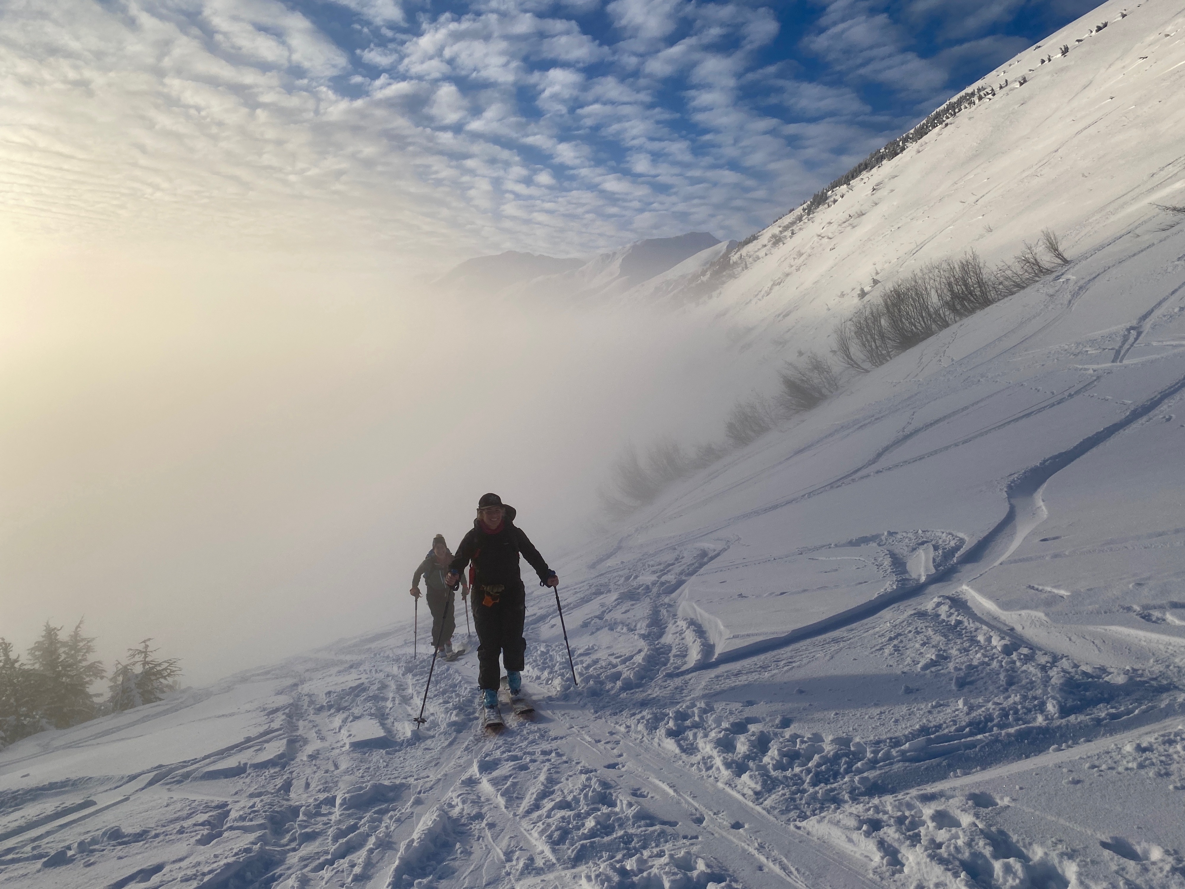
Busy day at Turnagain Pass with many folks out enjoying the new snow from last week.
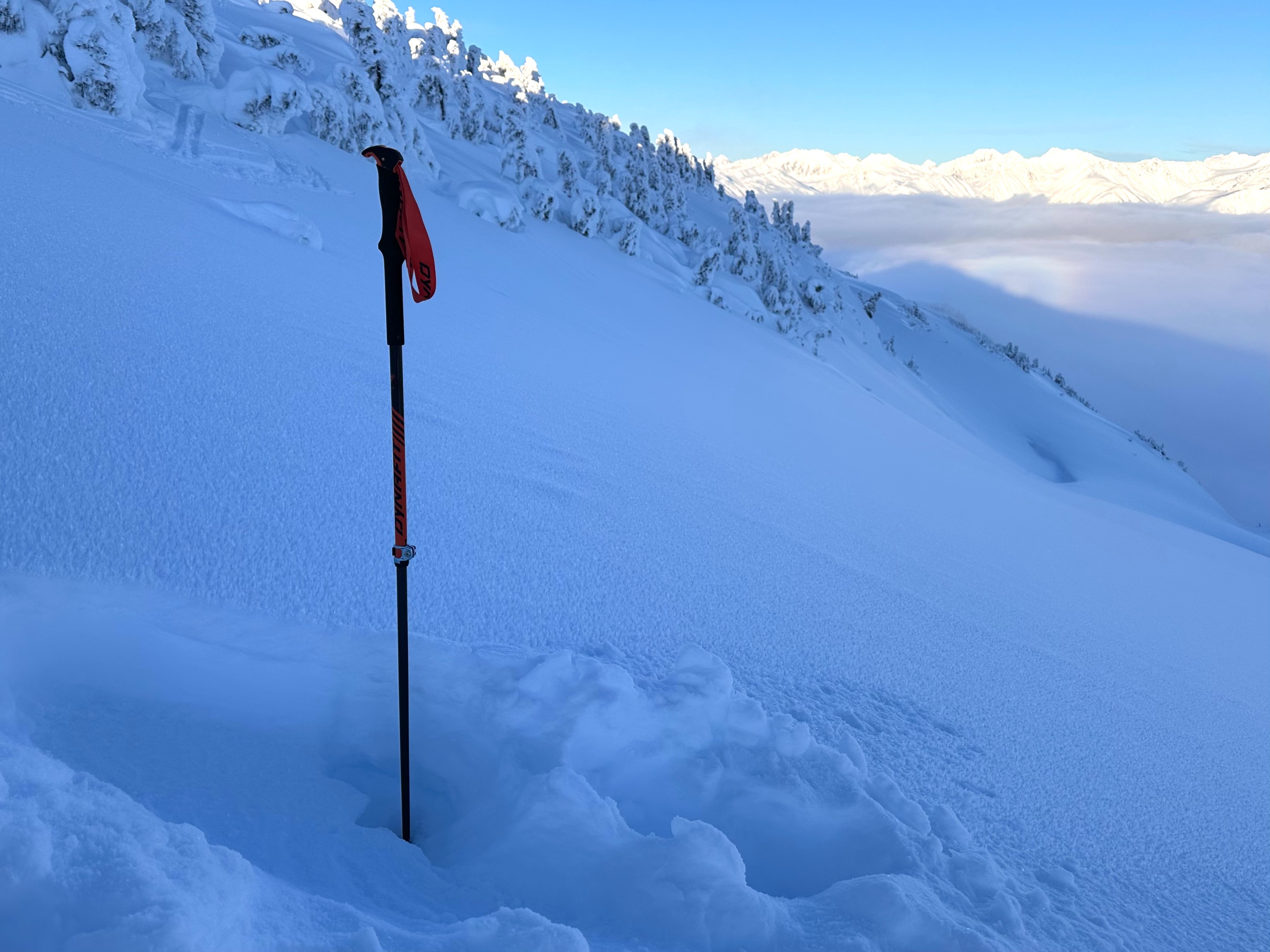
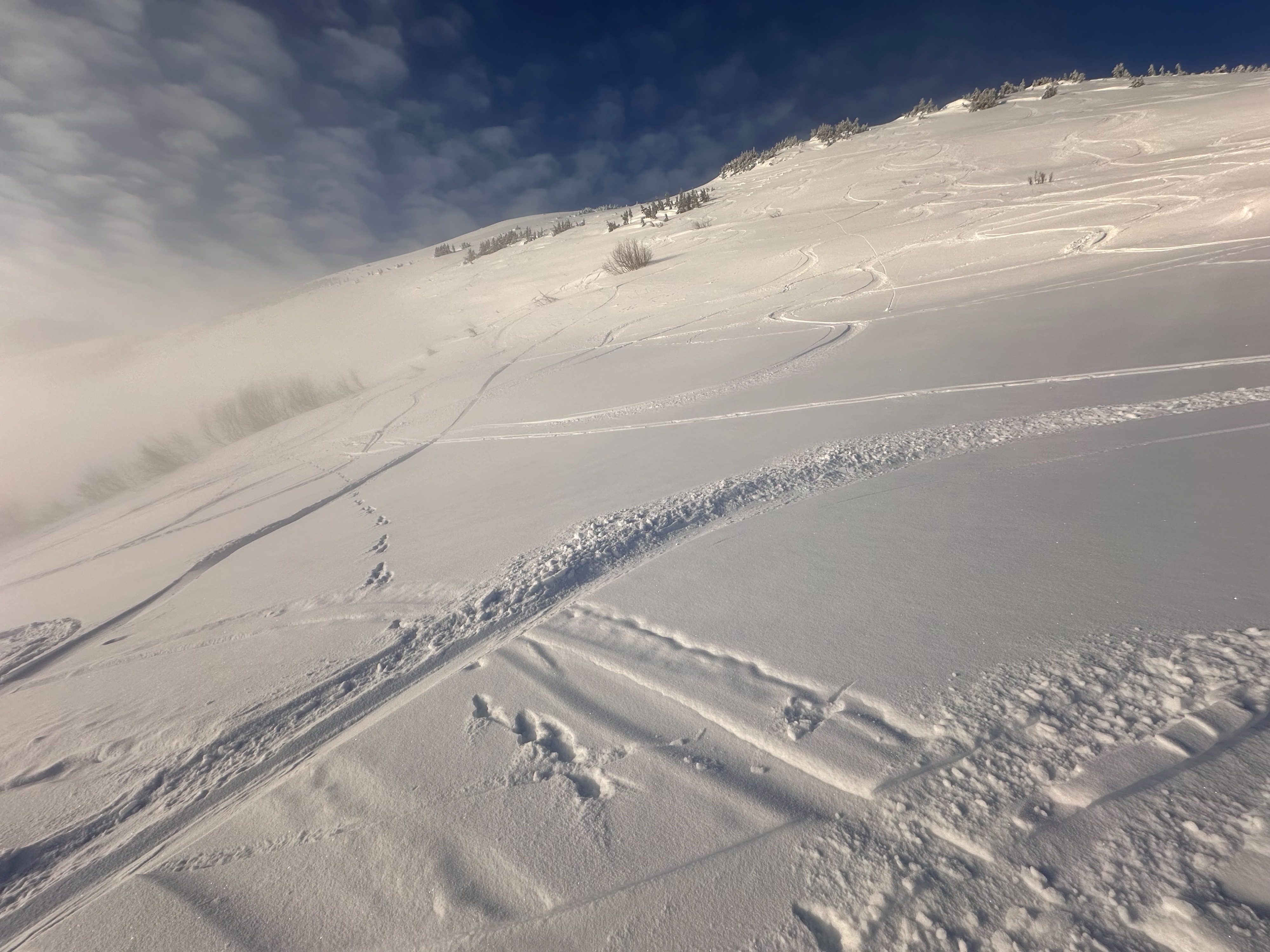
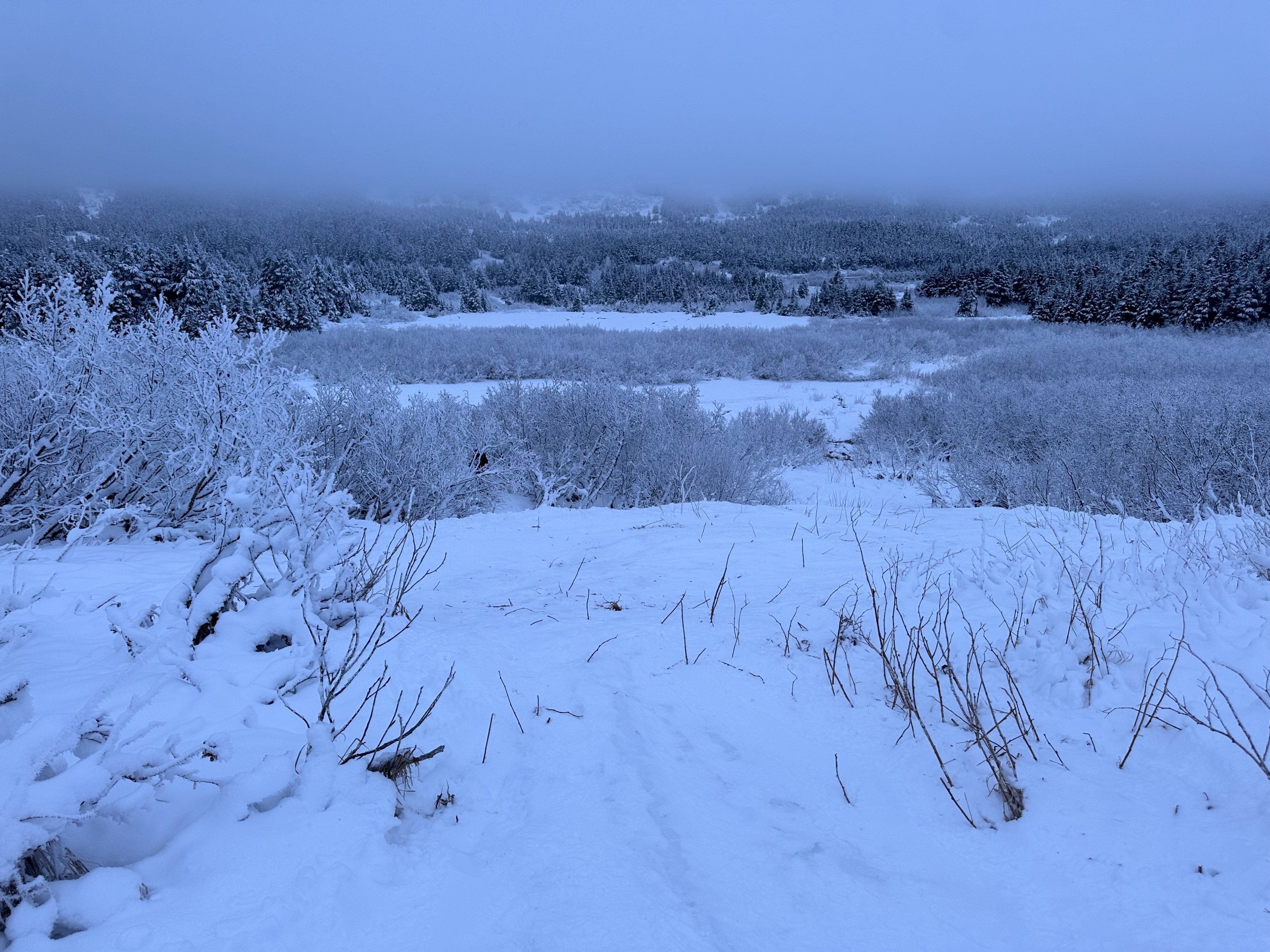
We found 3-4" of loose snow on the ground at the parking lot that became 6" or so of snow on a stout rain crust up to the ridgetop (2,500').
Areas in Main Bowl the soft snow was as deep as 16" in places over the rain crust from last week. This made for great skiing.
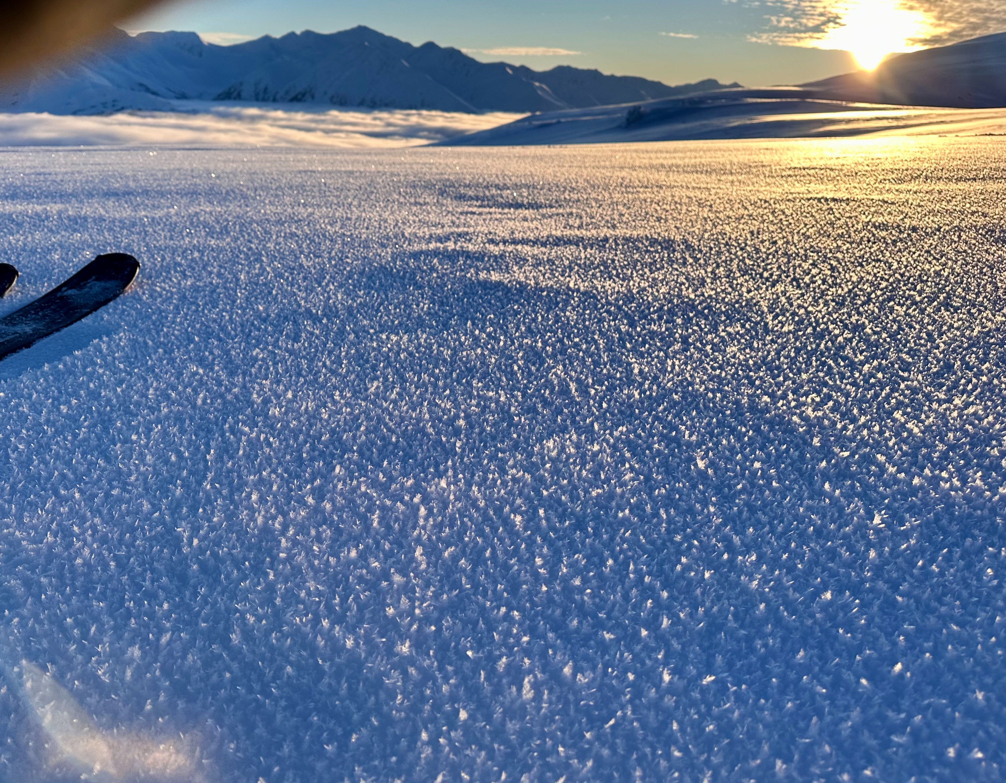
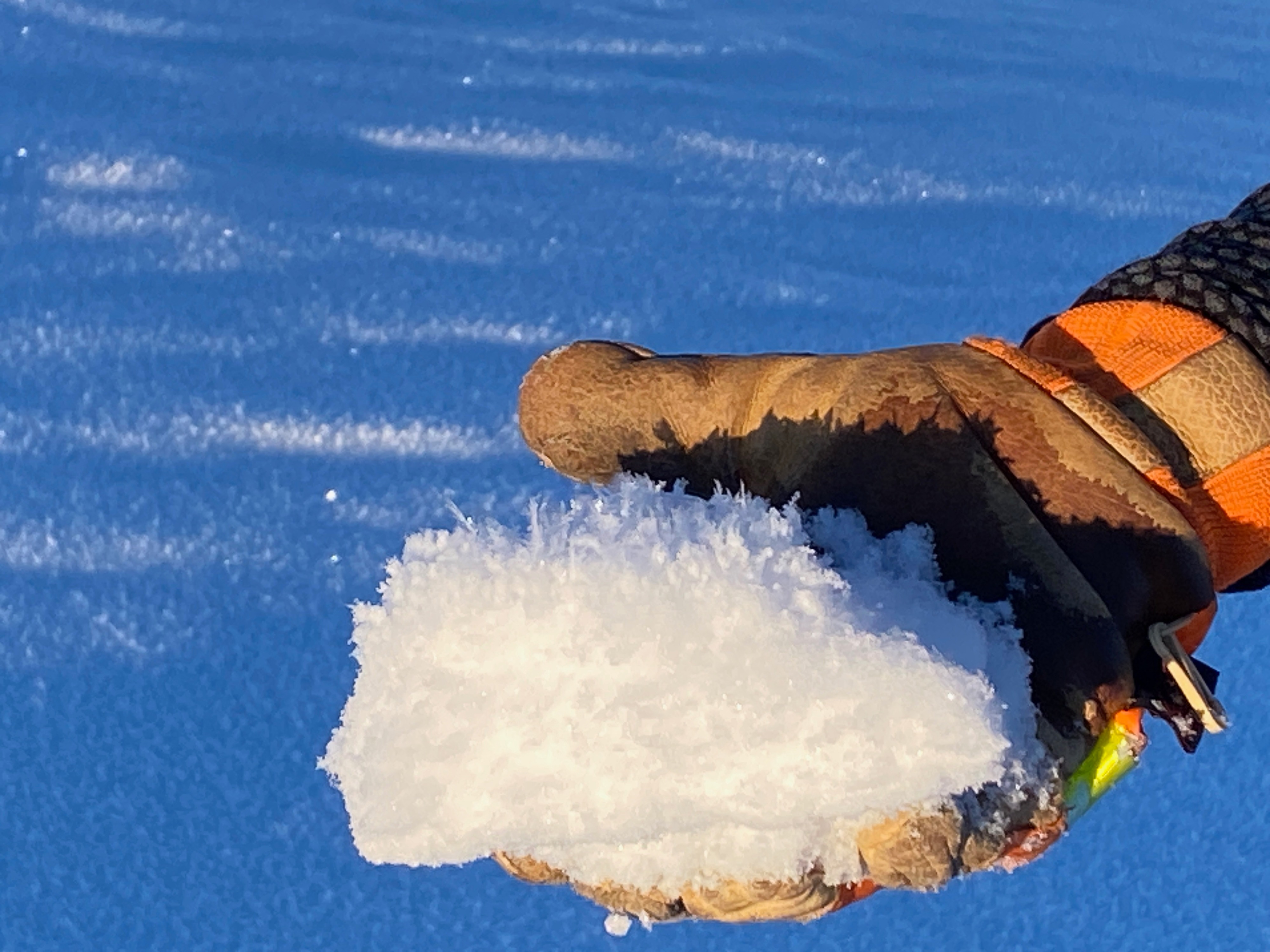
Looking ahead, we are tracking the surface snow as this could become our next week layer when the next storm arrives. This is a new batch of surface hoar on the snow surface, everywhere, even upper elevations. It is up to 1cm in size in places. The other layer is the loose snow over a crust up to 2,500' to 3,000'. It is already becoming faceted and will only continue to get weaker and more sugary as the clear days continue.
No signs of instability seen. * We spoke with groups in Warmup (-1) Bowl and Triangle (-3) Bowl who all said they also had no signs of instability.Weather
- Air Temp
- 25
- Cloud Cover
- few
- Wind Loading
- none
- Snow Avail For Transport
- moderate amounts
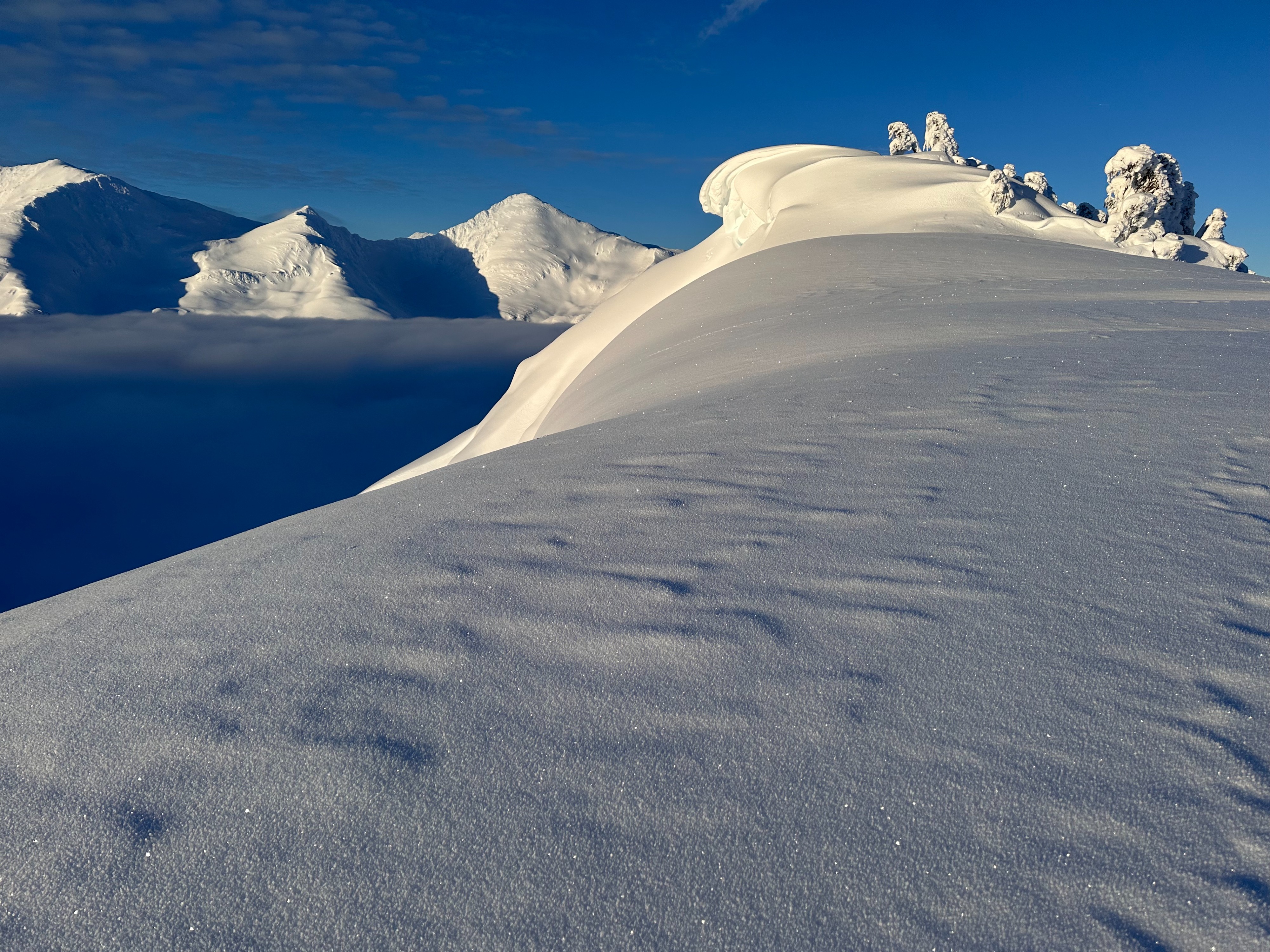
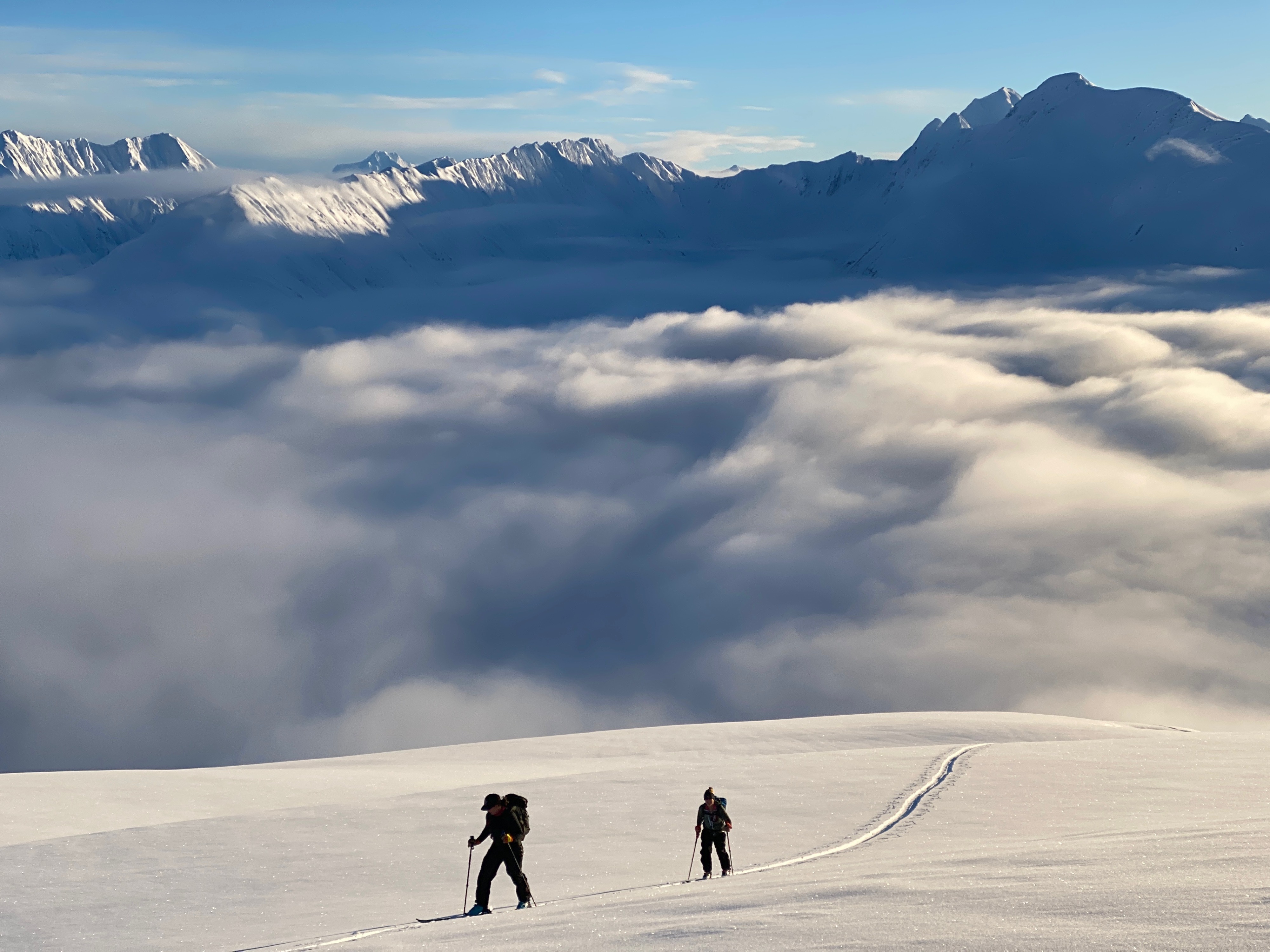
Valley fog filled Turnagain Pass up to 2,000' or so when mostly clear skies were seen above. Calm wind and temperatures in the 20s F.