
Quick report
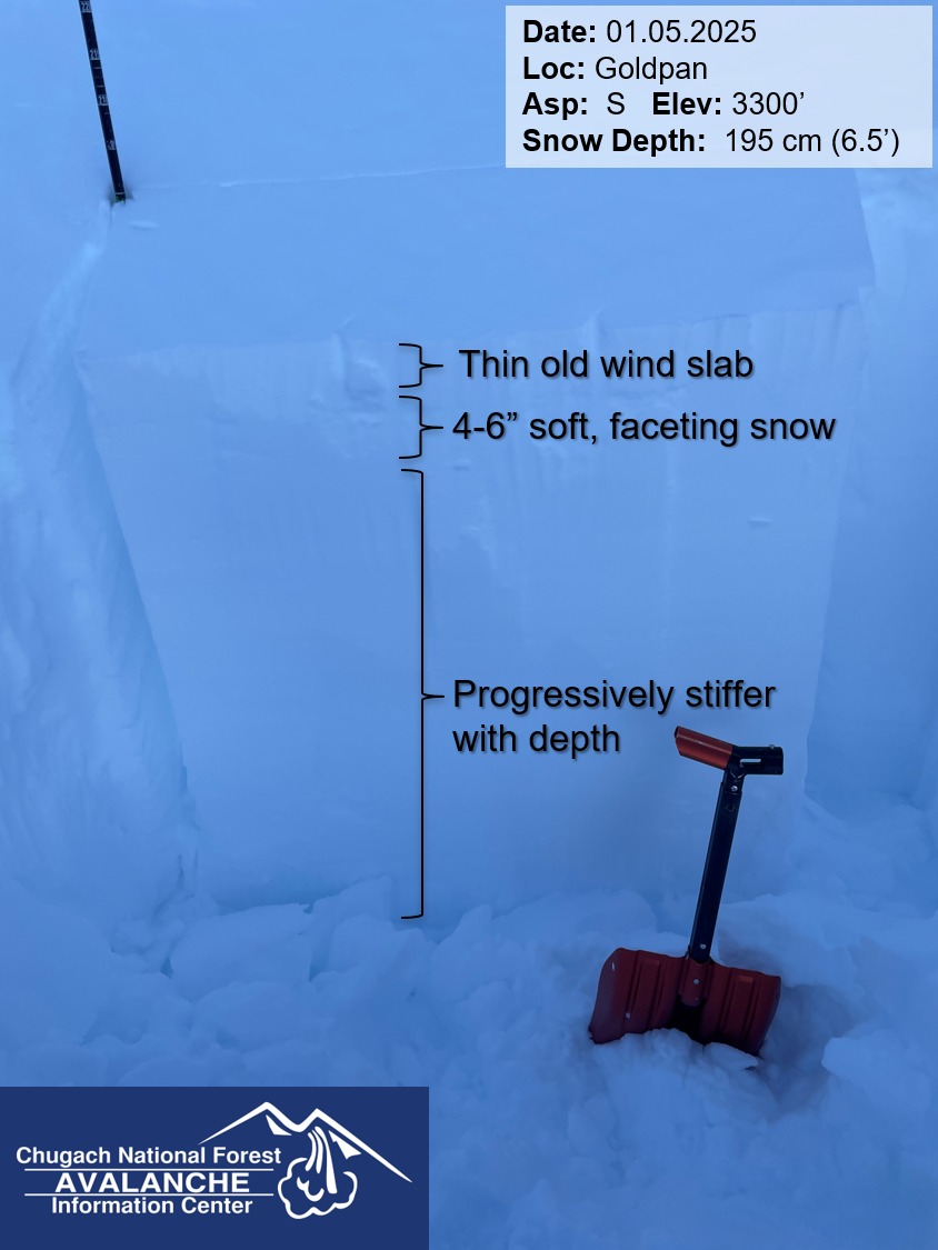
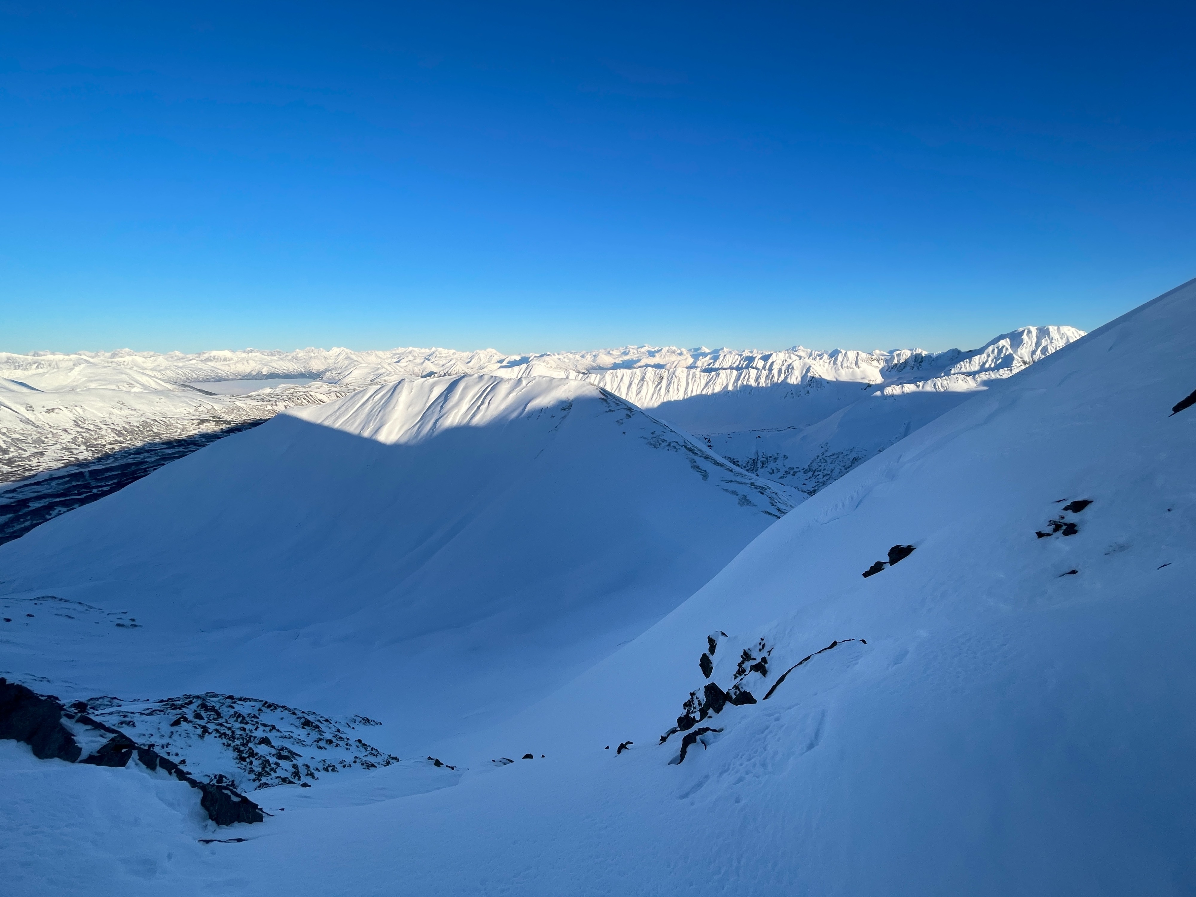
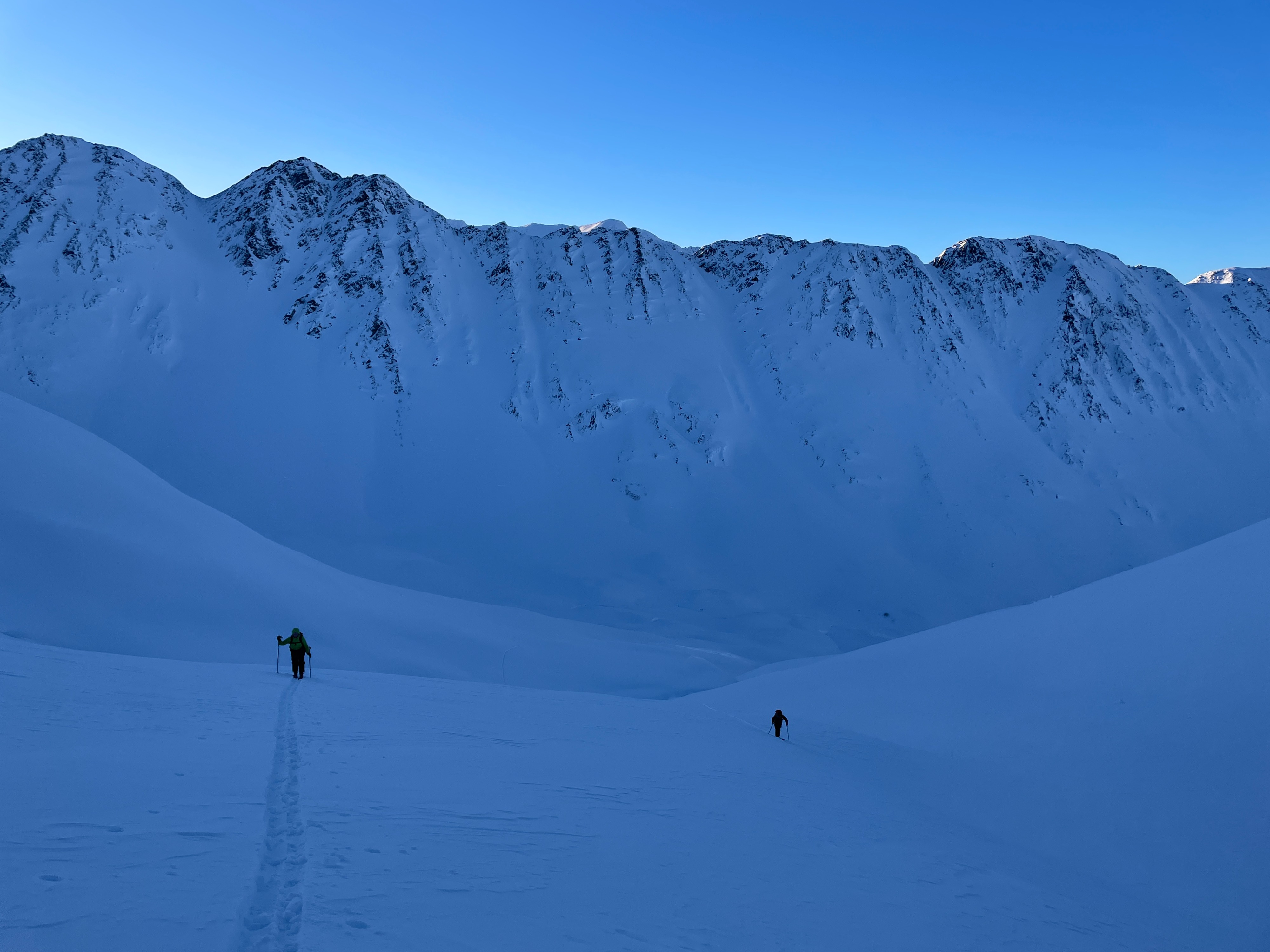
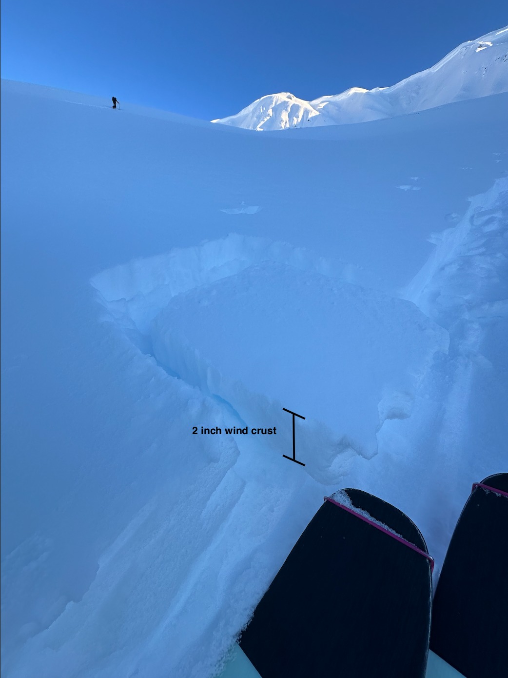
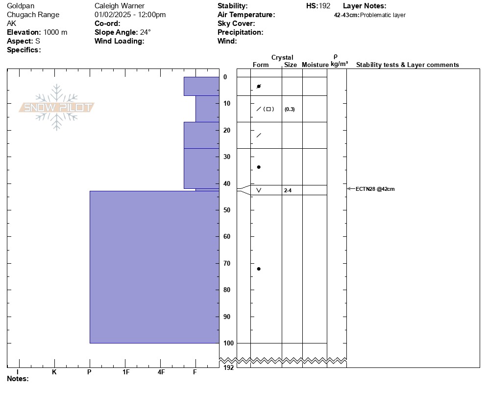
We toured up into Goldpan from Bertha creek with the objective to ski one of the South facing runs off the ridge. We dug a snowpit on a south-facing aspect at 3300' to look more closely at the layering of the snowpack up high before committing to skiing steeper terrain. We found a right-side-up snowpack, with soft snow on top and firmer snow below. We identified a weak layer of buried surface hoar about 40 cm beneath the surface, although our snowpit tests did not find propagating results on this layer we did see a partial collapse. As we traveled higher we observed that the snow surface was wind-affected, forming wind slabs 1-2 in thick in isolated leeward terrain features. Along the ridge, strong winds have formed sastrugi on the snow surface and exposed tundra, which we traveled close to giving a wide berth to the very large cornices.
Weather
- Cloud Cover
- few
- Wind Loading
- none
- Recent Snowfall
- no
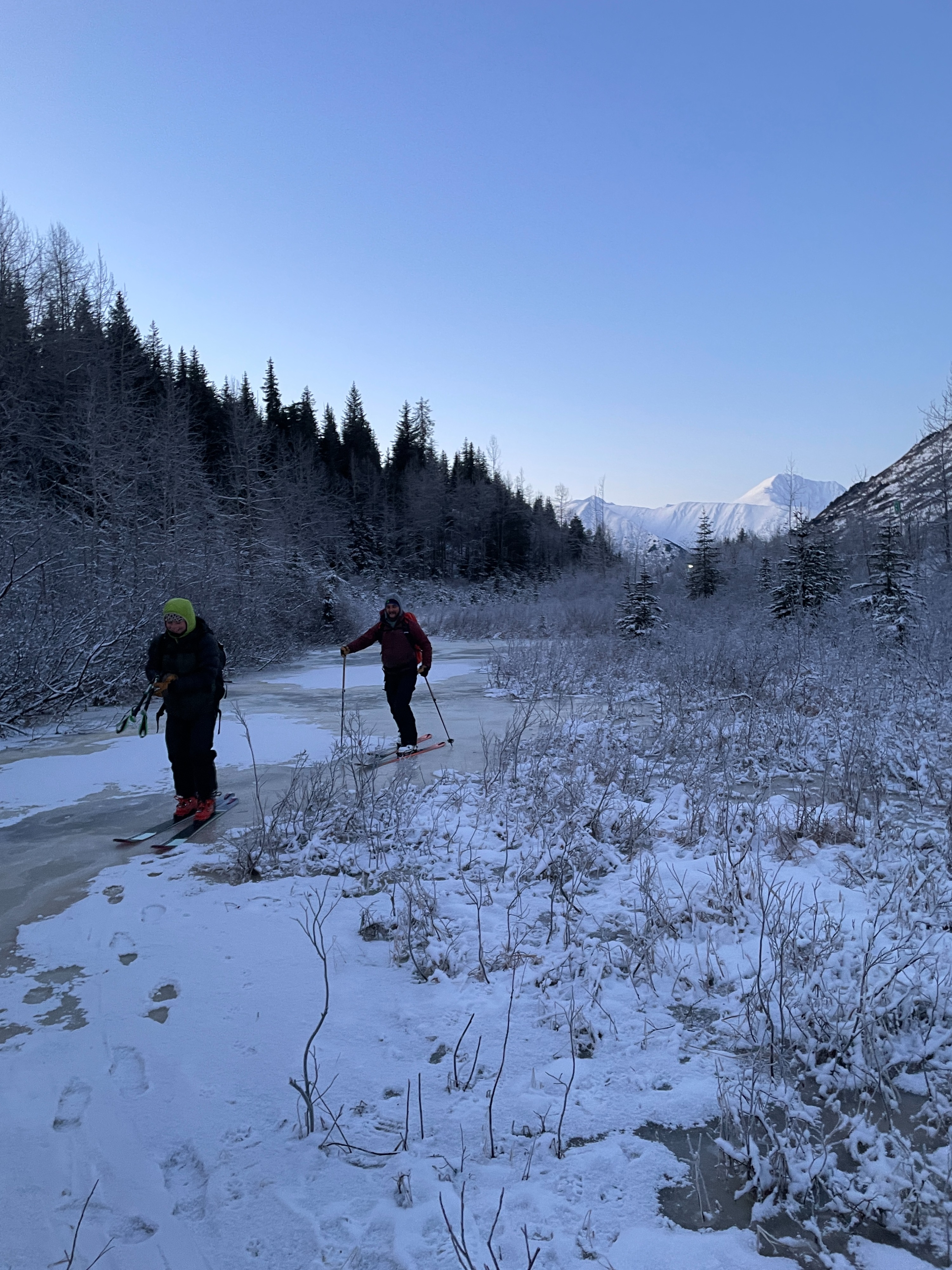
Once we reached the base of the pass, the skies were clear, with light winds and sunshine. A thin marine layer remained over the Arm all day.
Snowpack
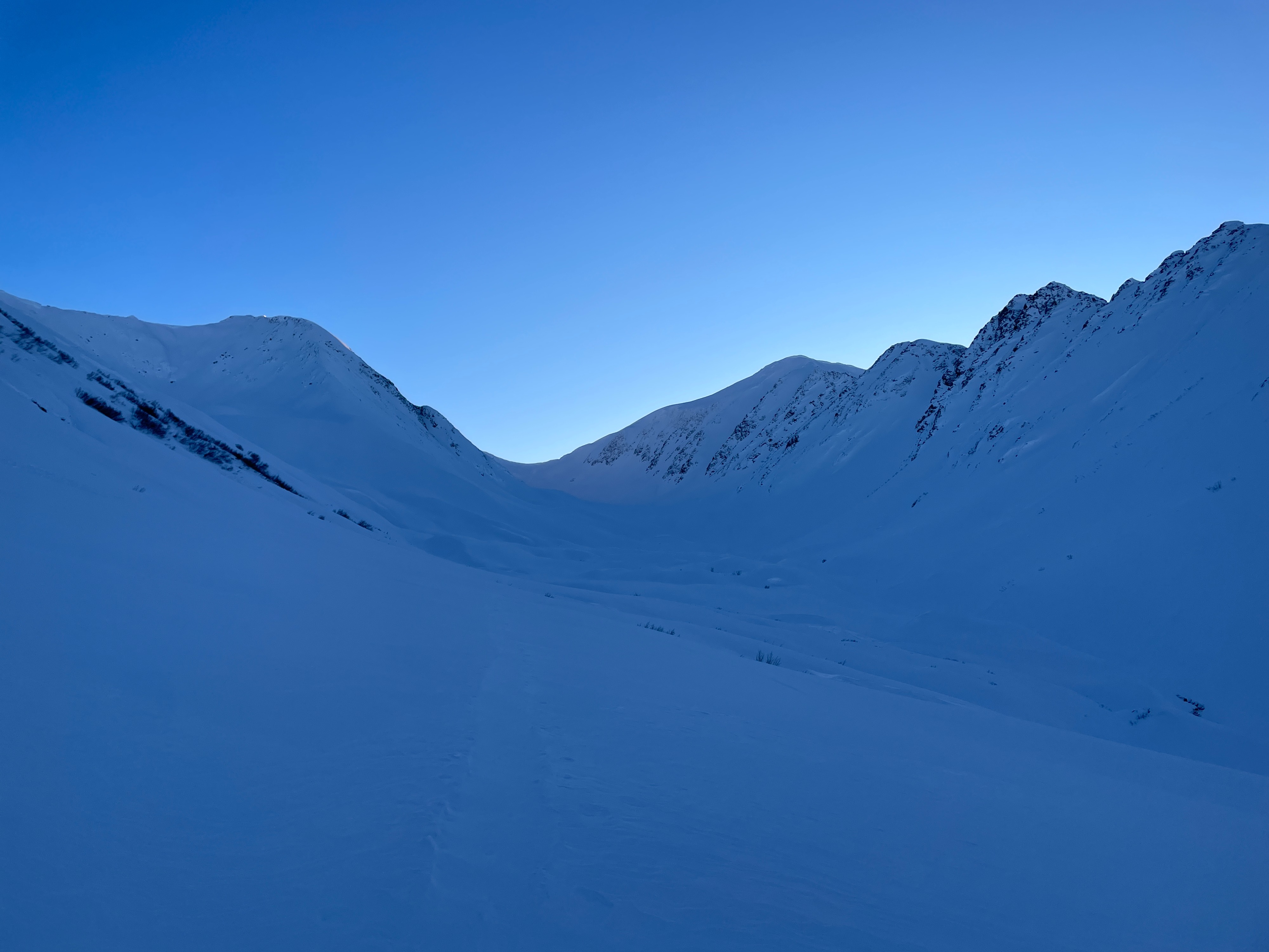
There is still no snowpack at the base of the pass. The holiday melt-freeze crust remains continuous until ~2800 feet. Above treeline, a few inches of dry faceted snow sits atop the crust. As we gained elevation we noticed the snow surface becoming more wind-affected. In isolated leeward pockets, we found 1-2 in thick wind crusts. We dug a snowpit around 3300' on a south-facing aspect and found a generally right-side-up snowpack, with soft snow on top and becoming harder towards the bottom. We did find a layer of buried surface hoar approximately 42cm down from the surface and an extended column test saw a partial collapse on this layer, our test results were ECTN28.