
Quick report
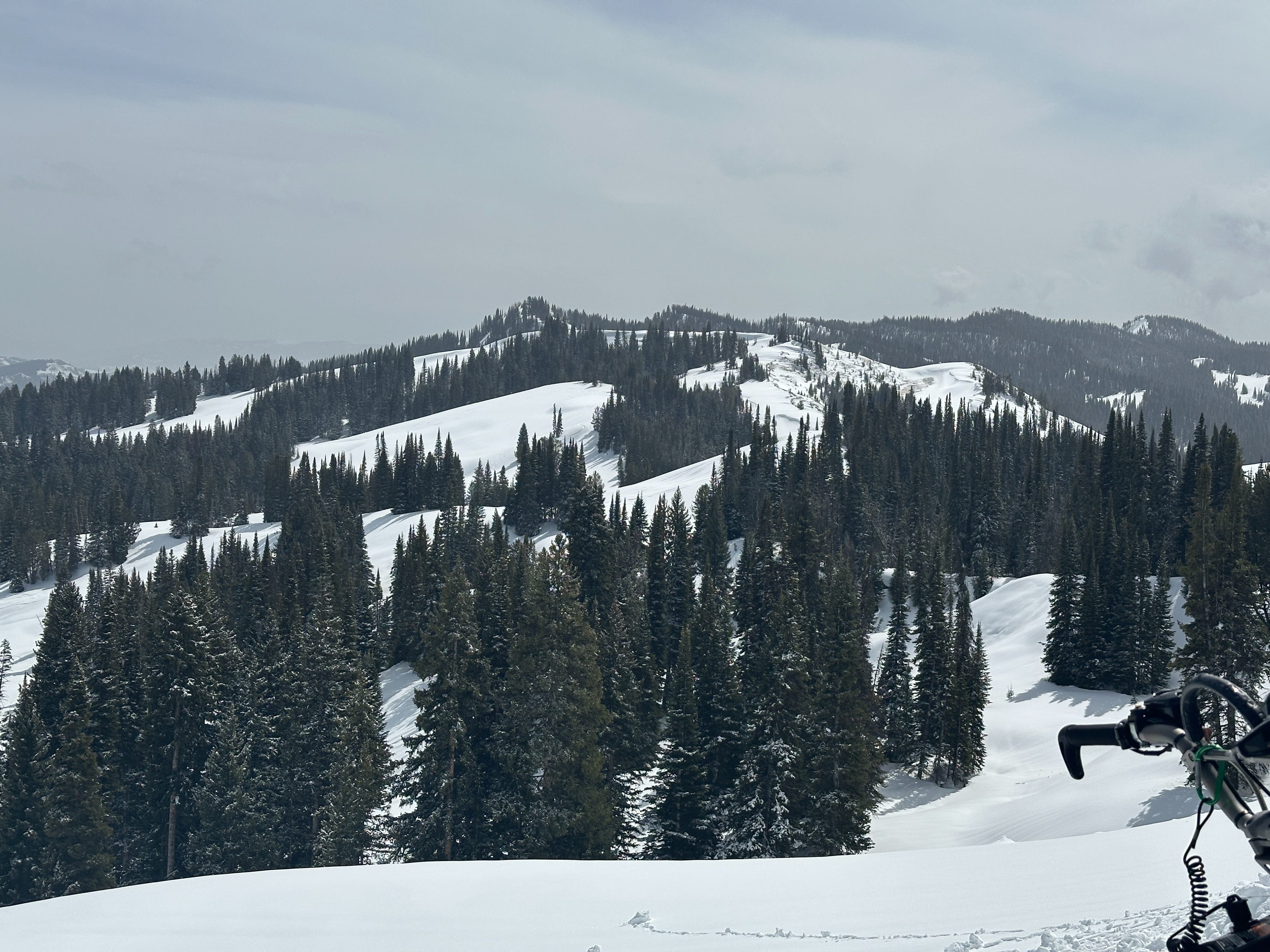
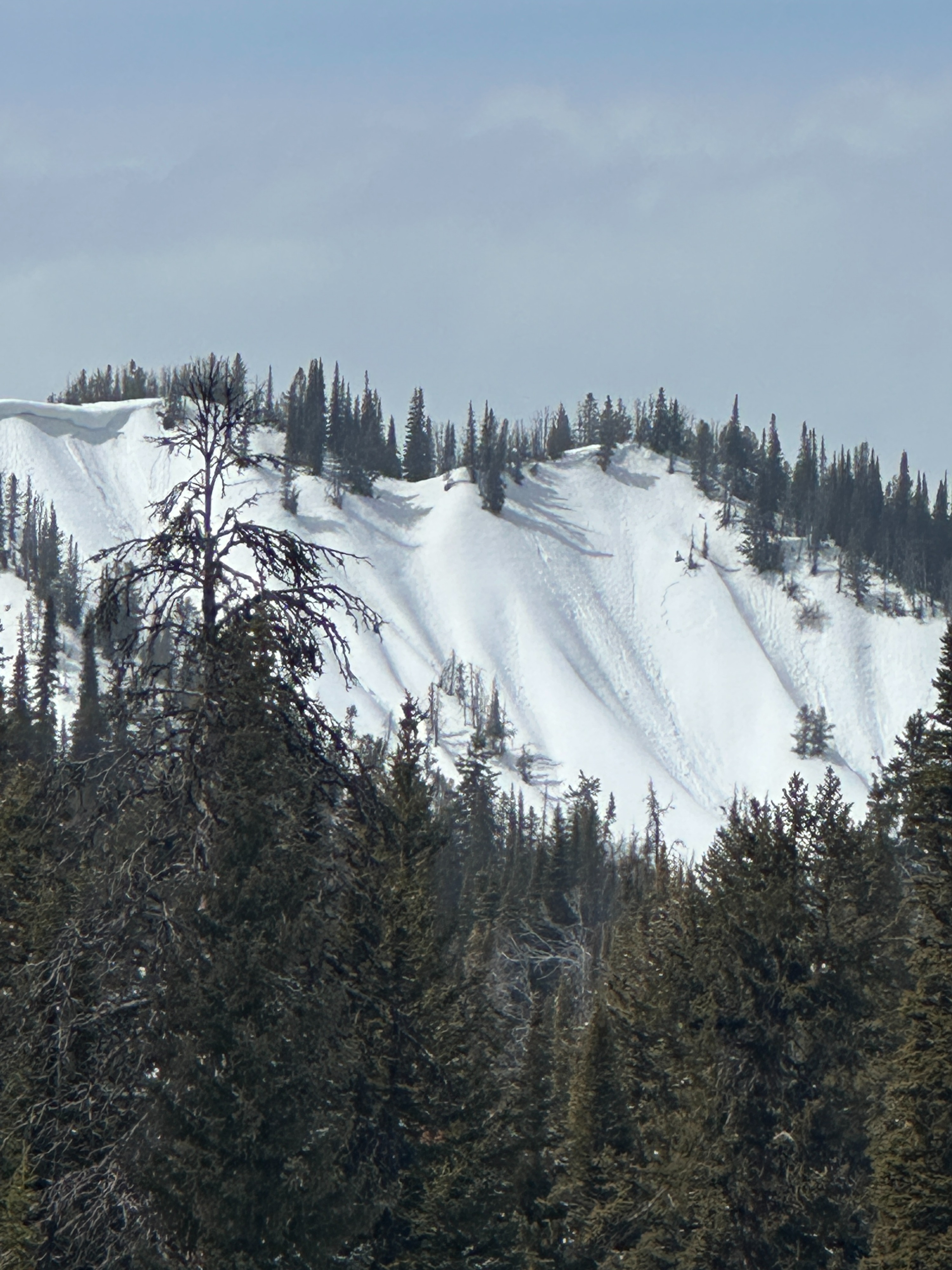
Temperatures were colder overnight, allowing for a supportable crust to form down to 7000'. As the day progressed, these supportable crusts started to break down on solar aspects. Crusts that formed on slopes with a northerly tilt remained supportable. Returning to the vehicles in the afternoon, the low elevation snowpack had returned to an isothermal nature. As we traveled through the upper areas of Toppings, we noticed a couple of older and very small avalanches that had occurred on steep wind-loaded terrain below cornices. These avalanches may have been triggered by cornice fall during the previous warm days but did not propagate widely or run far. Additionally, we saw only a small amount of older roller ball activity limited to slopes below 9000'.
Last night, 1-2" of new snow fell in this area, and much of it was turning wet with the sunny conditions. While we did not see signs of instability, we dug into the snowpack to take a look at its structure, and it remains consistent with what we expect. The chance of triggering a large avalanche remains. Facets are present within the snowpack, and pits continue to produce propagation (see snowpack summary). While we have not heard of large avalanches breaking down to these layers, the structure certainly seems capable of producing them. As we move into a period of colder weather, it's likely stability will improve, but remain aware of the fact that weak snow is beneath you if you decide to ride steeper terrain at higher elevations.
Weather
- Cloud Cover
- scattered
- Wind Loading
- previous
- Recent Snowfall
- 3-5
- Snow Avail For Transport
- small smounts
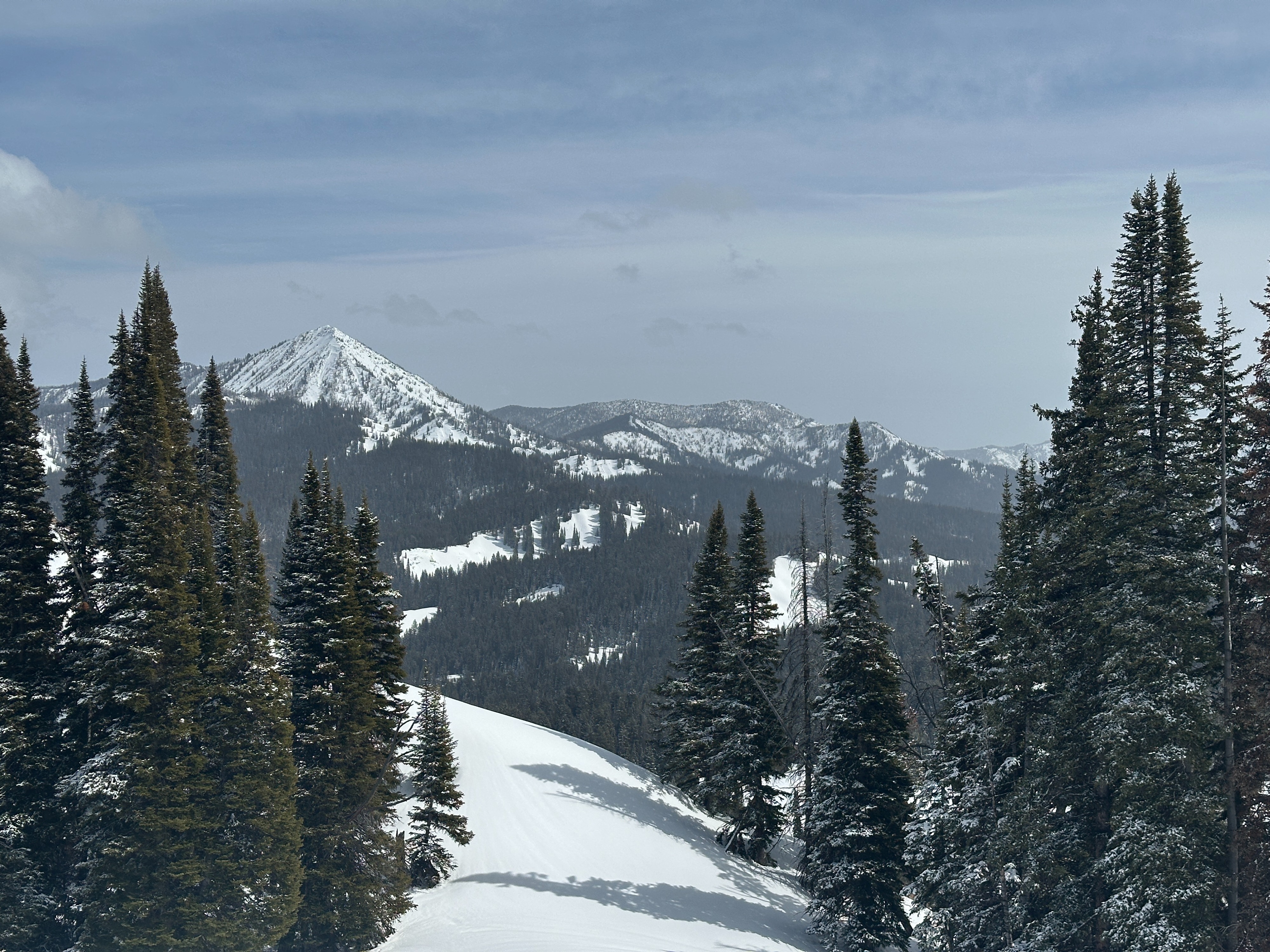
Mostly sunny skies with clouds lingering over Mount Leidy and further east. At 9000 ', temperatures were near or above freezing. According to the car, at 7000', the temperature was 46F. Winds were completely calm today.
Snowpack
Dug two snow pits. One on a NW aspect and the other on an E aspect. Both at 9000'.
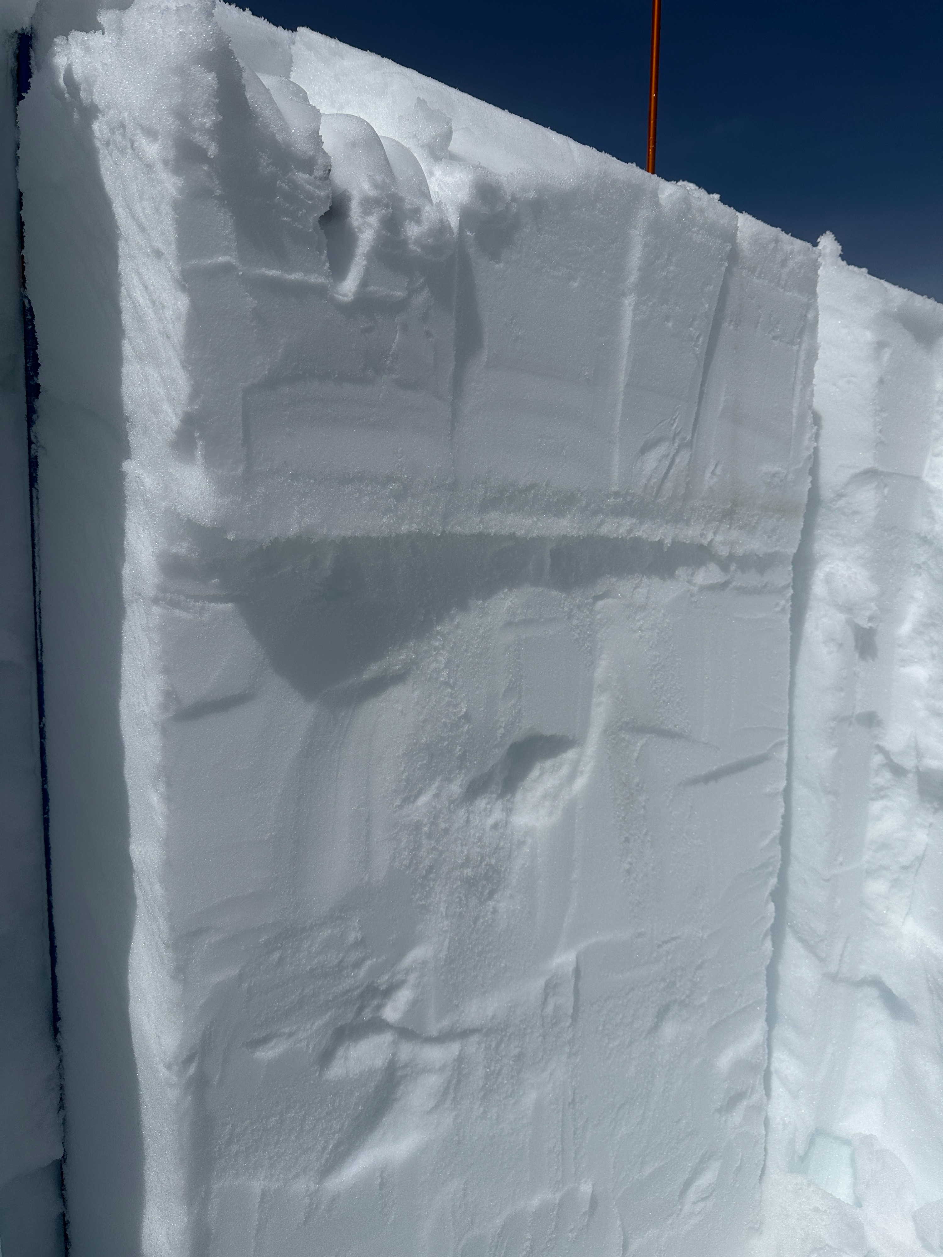
Toppings NW 9000': The total height of snow was 118cm (a little less than 4 feet). The snowpack here has remained mostly dry, except for the top few inches, which formed a melt-freeze crust with the previous few days of warm weather. Weak faceted snow is still present - both mid back and at the bottom. Test results yielded an ECTP 14 and a PSTend 35/100 - 20 inches down on a layer of noticeably weaker facets (fist hardness). Facets at the bottom of the snowpack are starting to round but still have a noticeable hardness change and produced a PSTend 40/100. Overall, it is not a confidence-inspiring snowpack structure, given harder slab layers between these facets.
Toppings E 9000': The total height of the snow was 181cm (~6 feet). Dug just below a ridgeline, windloading through the season likely kept the snowpack on this aspect deeper. Warm temperatures had a much larger impact in this location, as the top 16 inches of snow had either moist to wet snow or melt-freeze crusts. Two melt-freeze crusts - buried 15 inches - sandwich a thin layer of weak snow between them. An extended column test yielded an ECTP 26 on this layer. Below that, a large pencil hard slab exists before reaching rounding facets 3 feet below the surface. While these deeper facets are starting to gain strength, a PSTend 40/100 still gives me hesitations about this snopack.