
GNP - Going-to-the-Sun Road
Quick report
I took a lovely walk up the sun road to look for avalanche activity from the recent atmospheric river. Though clouds obscured some peaks from view (e.g., Heavens Peak), I was able to get a pretty good view into the track and runout zones of some substantial paths. Essentially, wherever I could see a big path, I found evidence of large to very large natural avalanches that released during the storm. The slab avalanches I saw likely originated as dry slabs up in the start zone, but they picked up a ton of wet snow and liquid water on their descent, traveled long distances over dry ground and brush, and the dirty chunky debris piles looked like what you would find after a large wet slab. Call them combo-lanches if you will!
Also of note was just how little snow there is until about 5500 feet.
Weather
- Cloud Cover
- overcast
- Rain Elevation
- 6000'
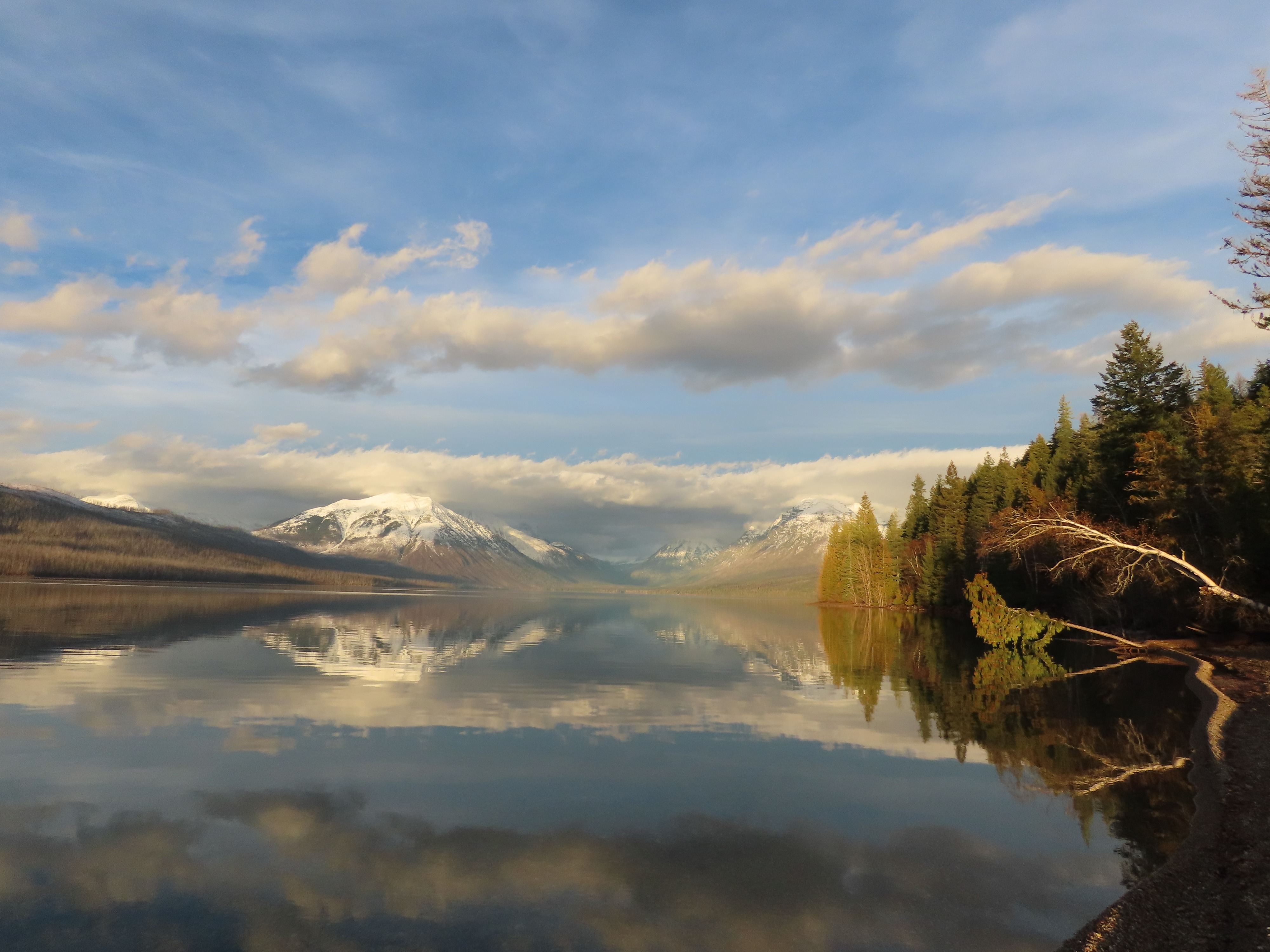
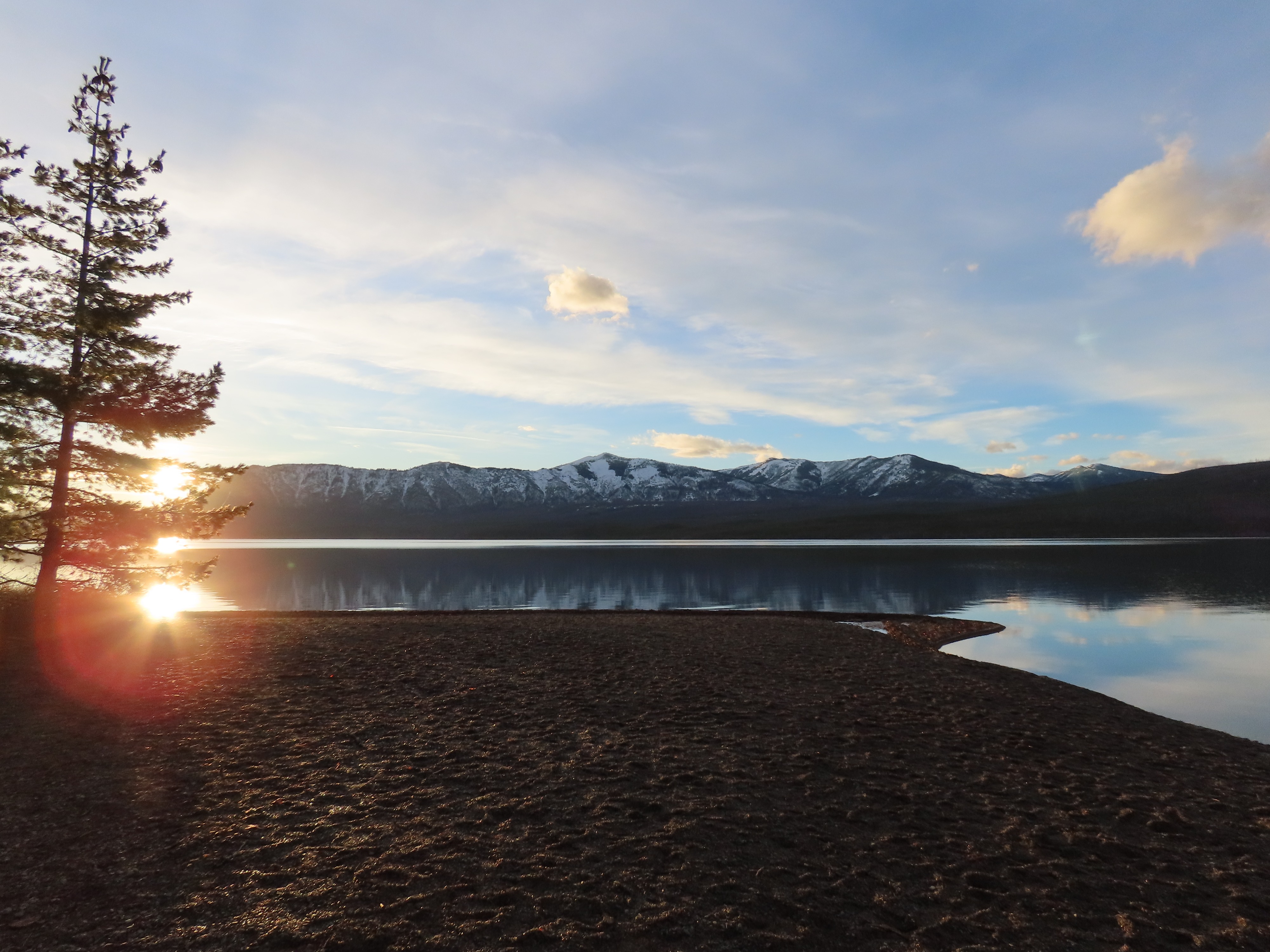
Very mild temperatures and calm winds on the road. A cloud deck hung in at around 7000-8000 feet. By late afternoon as I left the GTSR and drove along Lake Mcdonald, the sun had fully popped.
Avalanche
- Size
- D3
- Count
- 6
- Aspect
- SW
- Trigger
- N
- Elevation
- 7400 ft
Avalanches likely occurred sometime between 12/8 and 12/10. Other than Stanton, start zones were obscured from visibility, so I couldn't assess crown depths, widths, etc. All sizes are estimated based on debris and runout locations.