
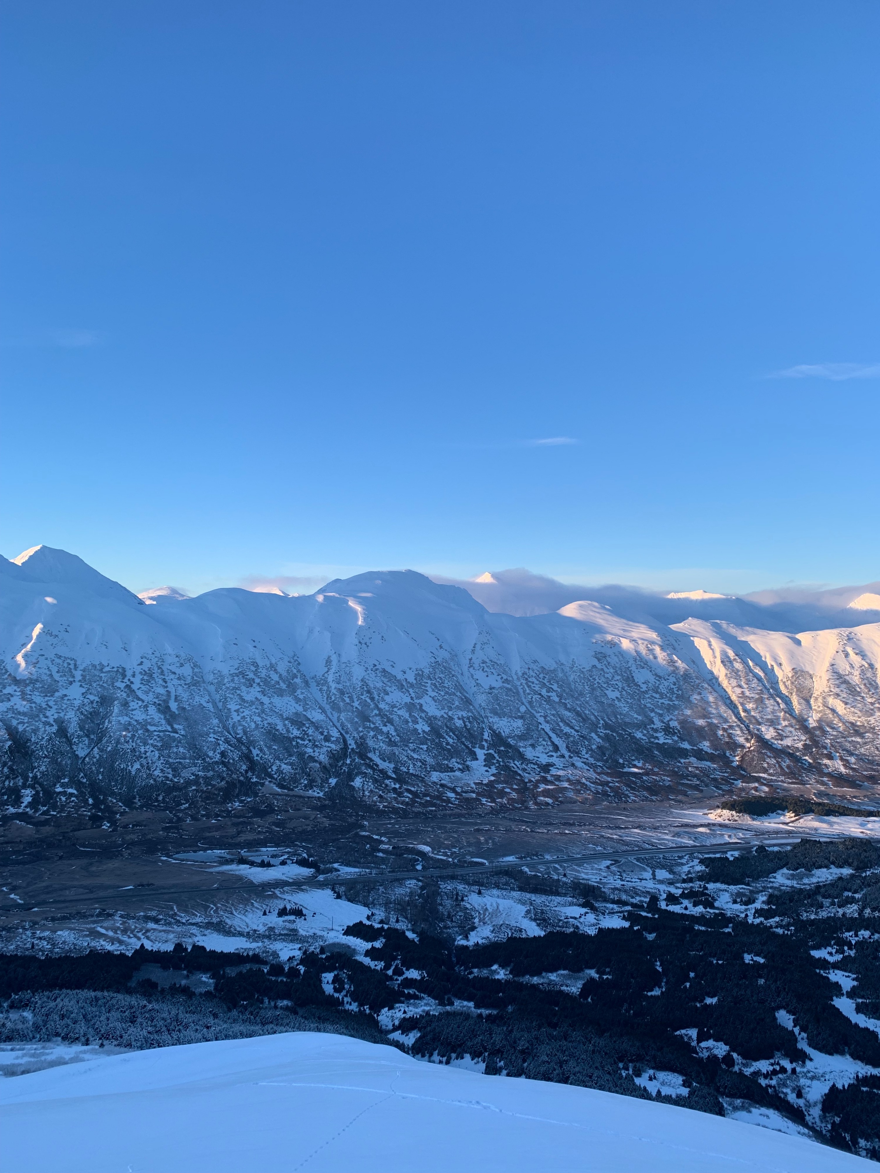
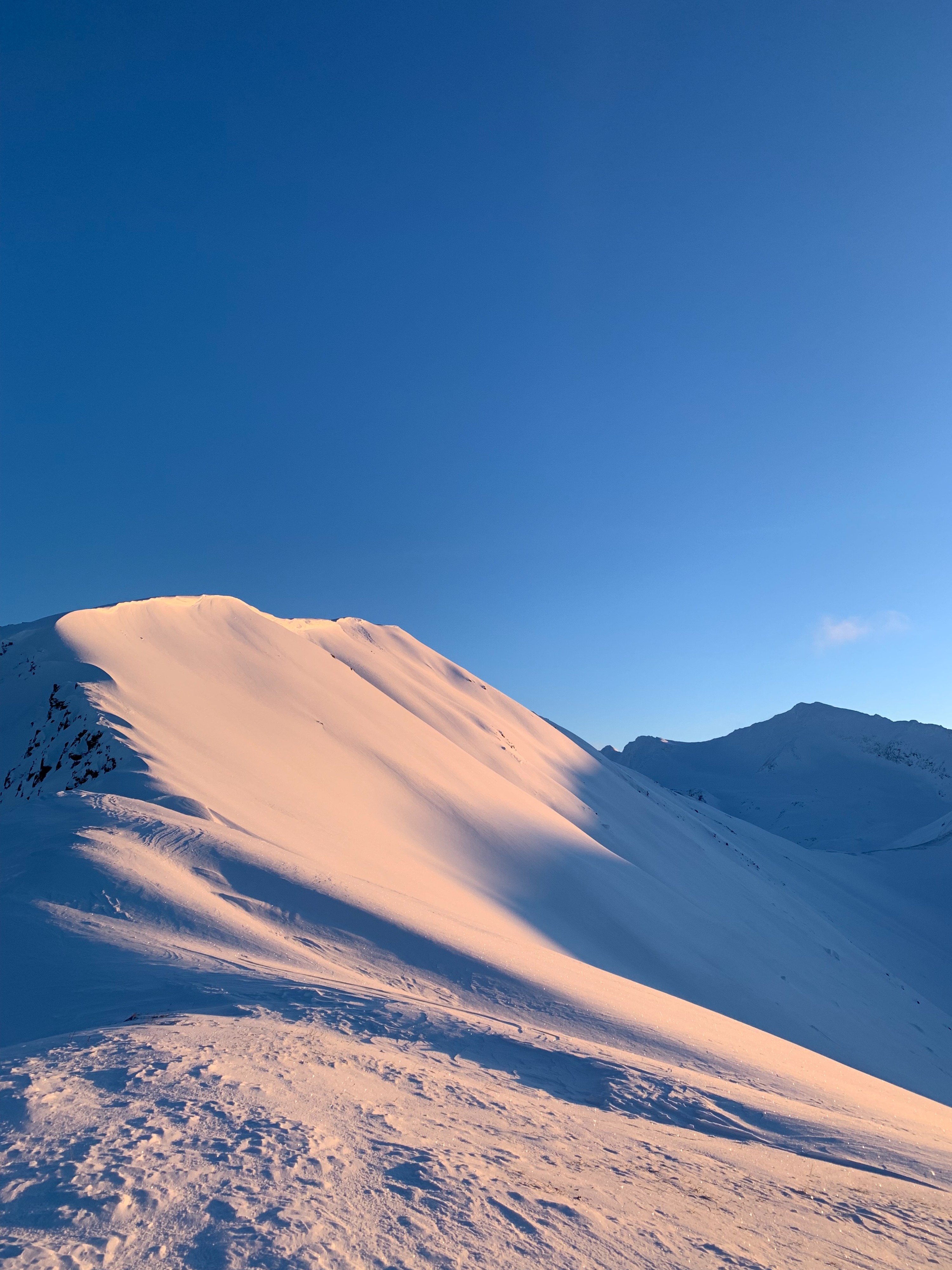
Quick report
We went into the day with high amounts of uncertainty about mid-upper elevations. We found surprisingly good snow above treeline, getting better with elevation. Surface wind effect was surprisingly only limited to ridgetops, but just below the surface there was a widespread windslab and thin crusts. Gap winds through Taylor pass seemed to have recently been high as lower sections of the face of Sunburst were pretty wind affected.
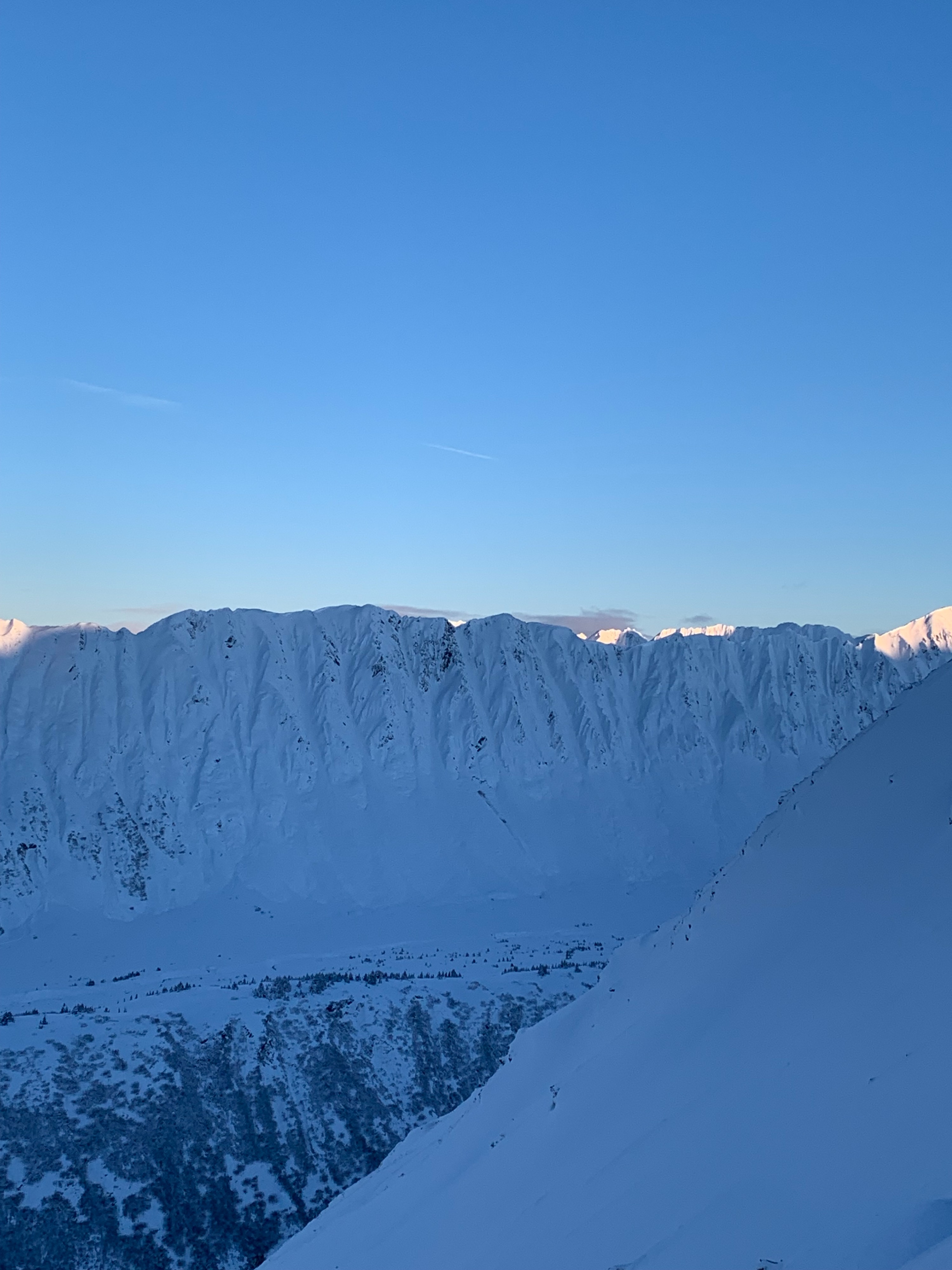
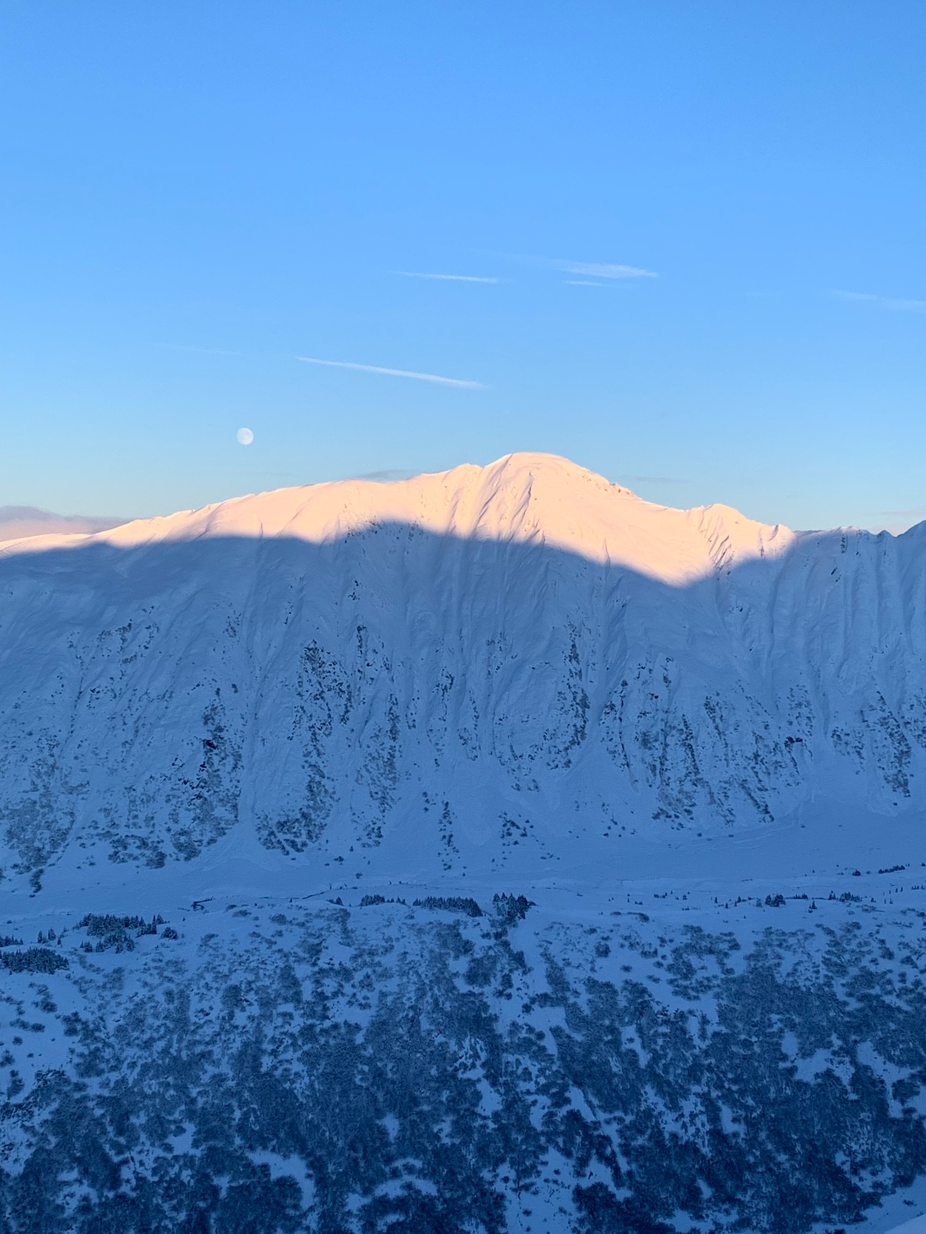
Observed plenty of evidence of previous glide activity throughout the region, almost all of these were partially filled in by the last storms snowfall. Did not find any evidence of recent dry or wet slab avalanches in this area.Weather
- Air Temp
- -3C
- Cloud Cover
- few
- Wind Loading
- previous
- Recent Snowfall
- 7-8cm
- Snow Avail For Transport
- moderate amounts
Enjoyed mostly sunny conditions all day with calm winds and moderate temps. Nice to experience below freezing temps and sun again.
Snowpack
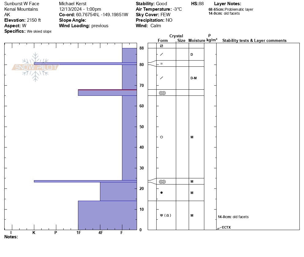
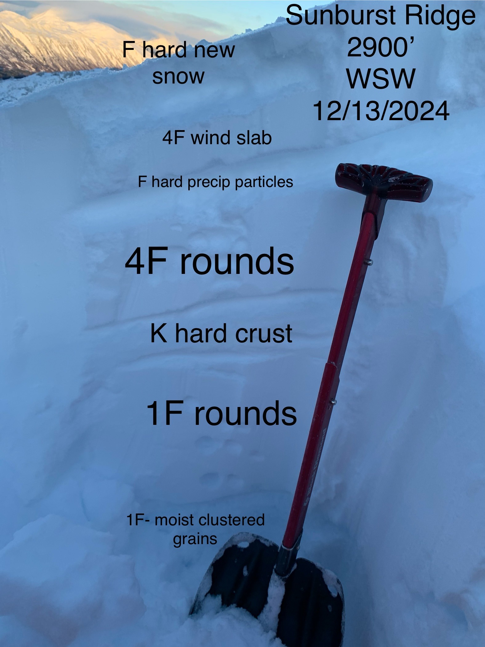
No snowpack to speak of at low elevations. Halfway up treeline, snowpack began and was thin and icy with only 1-3cm of dust on top. Dug three pits total throughout the day. We observed widespread affects of wind hidden just below a dusting of new snow. New snow was mostly unaffected by wind and was nice and dry. Upper snowpack consisted mostly of dry-moist storm snow with a few thin crust layers and interfaces, we believed this spoke to the recent storm temps hovering around freezing at mid-upper elevations. At mid elevations the snowpack was mostly saturated with a fair amount of clustered grains and melt-forms. Pit 1-2: 2150' W aspect HS: 88cm, ECTX x2 (pit profile below) Pit 3: 2900' WSW aspect HS: 160cm, ECTX