
Quick report
We travelled in easterly aspects from low to high elevation. There was a very firm supportable and at times barely edgeable crust the entire tour, most of which was probably from warm temperatures yesterday. Above 9,500' we started to find breakable crust in shaded areas.
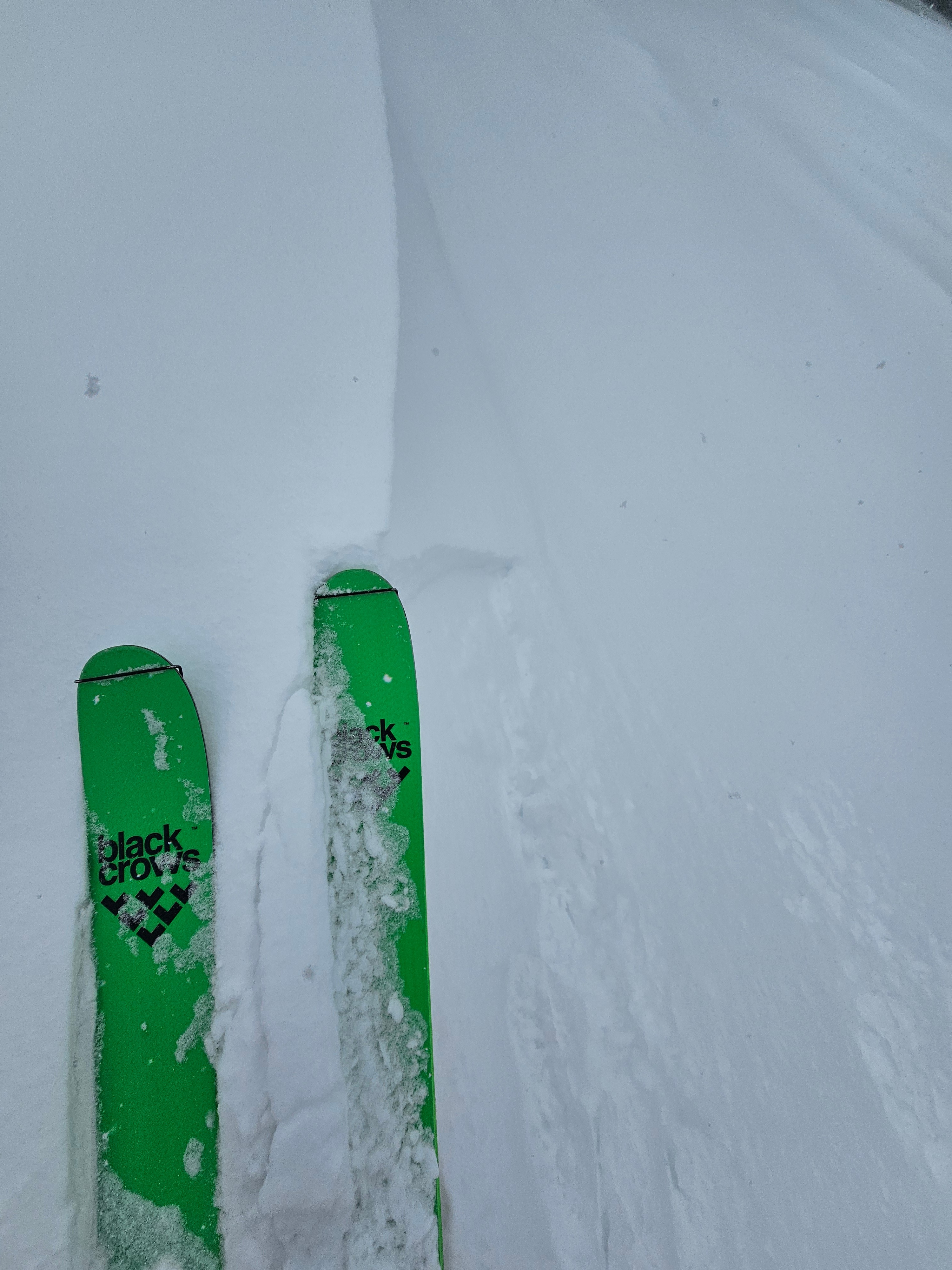
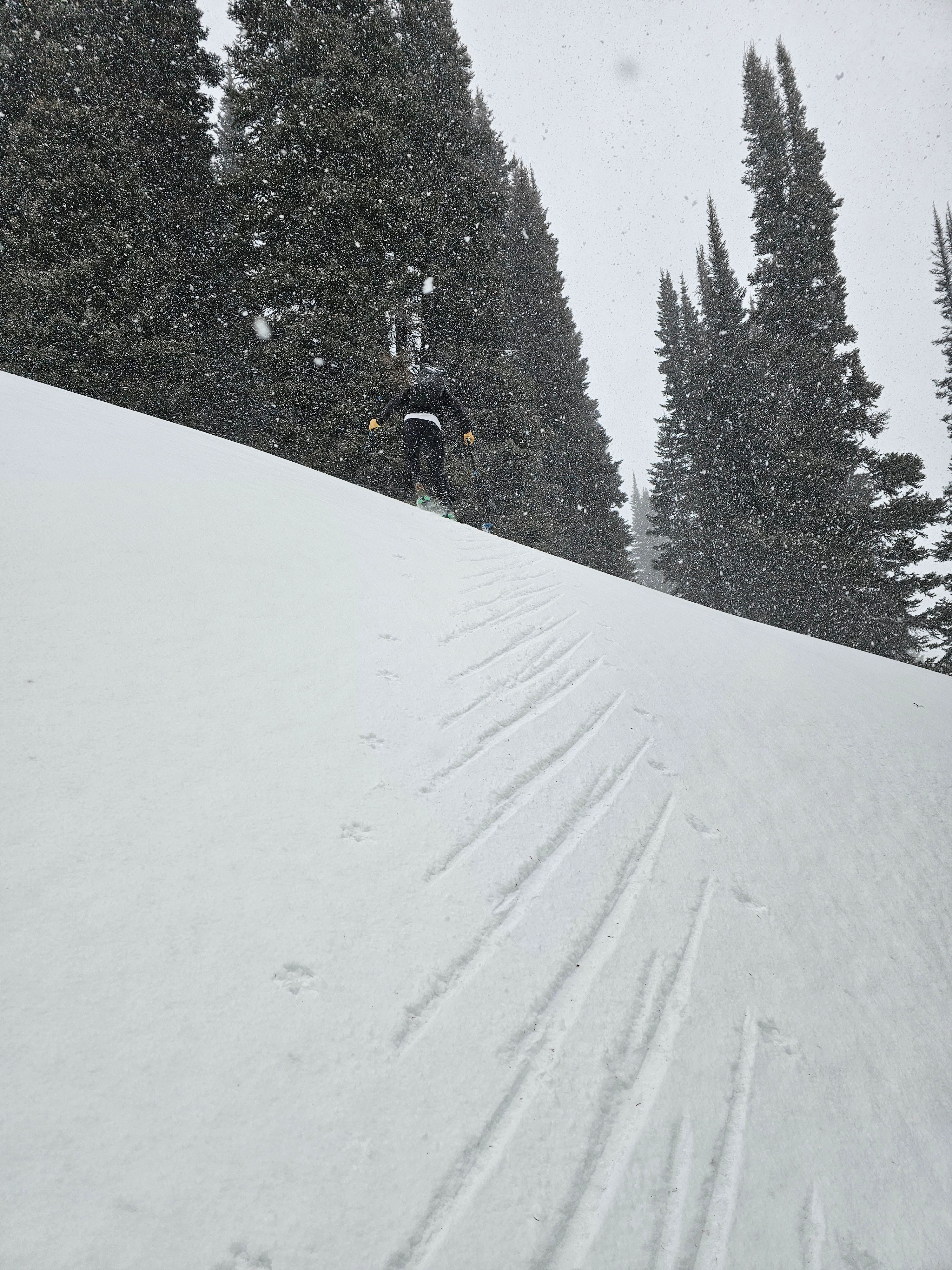
The small amount of new snow was being transported into very shallow soft slabs, barely 3 inches. No old snow was being transported. There was very little new snow, but it appeared that it was bonding well to the old surface.
As more snow accumulates I would expect there to be fresh wind slabs up to 8 inches deep in certain areas, there just wasn't much snow to work with so far.
Weather
- Cloud Cover
- overcast
- Wind Loading
- light
- Recent Snowfall
- 1-5cm
- Snow Avail For Transport
- small smounts
It starting snowing around 9:30am. At upper elevations about 5cm of accumulation and at low elevations there were 2cm. Winds where moderate at upper elevation with strong gusts in exposed areas. There were also moderate winds from the south in the low elevation flats.