
Quick report
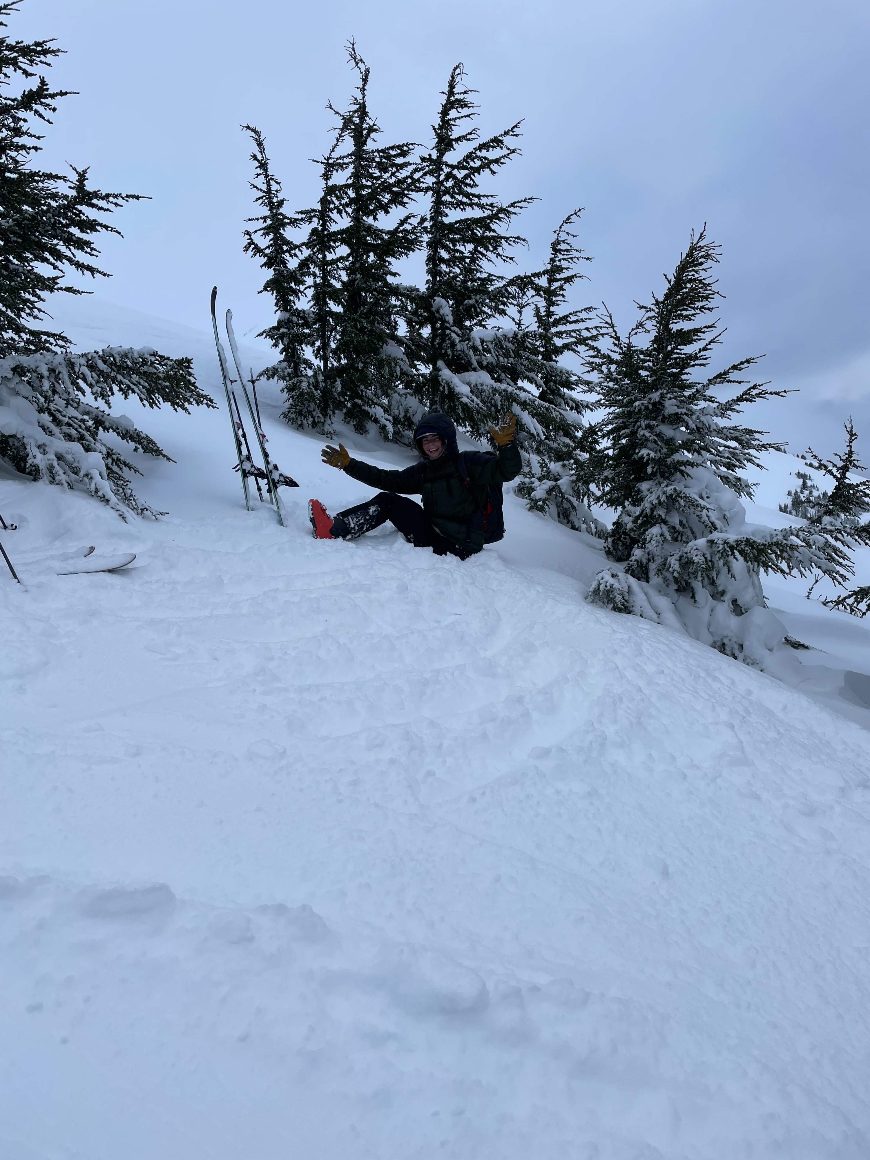
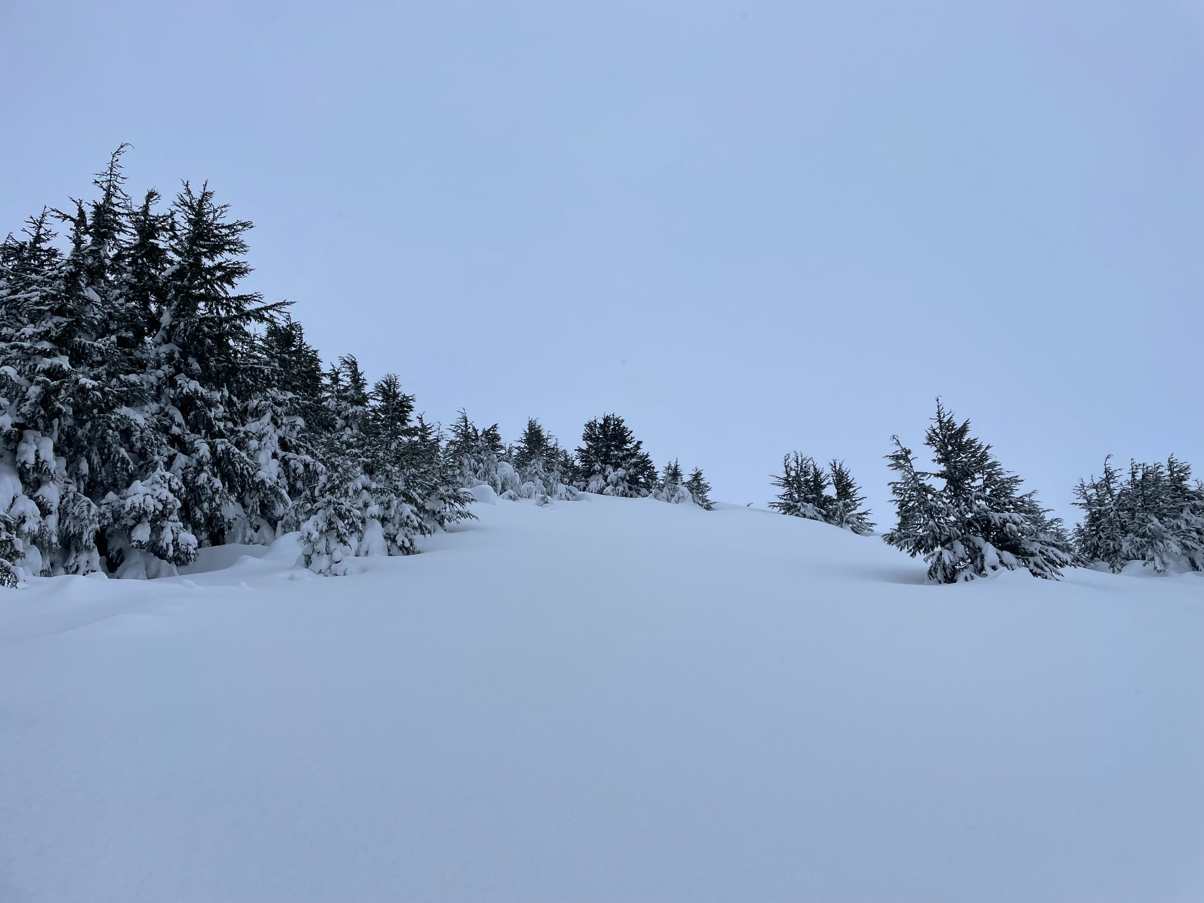
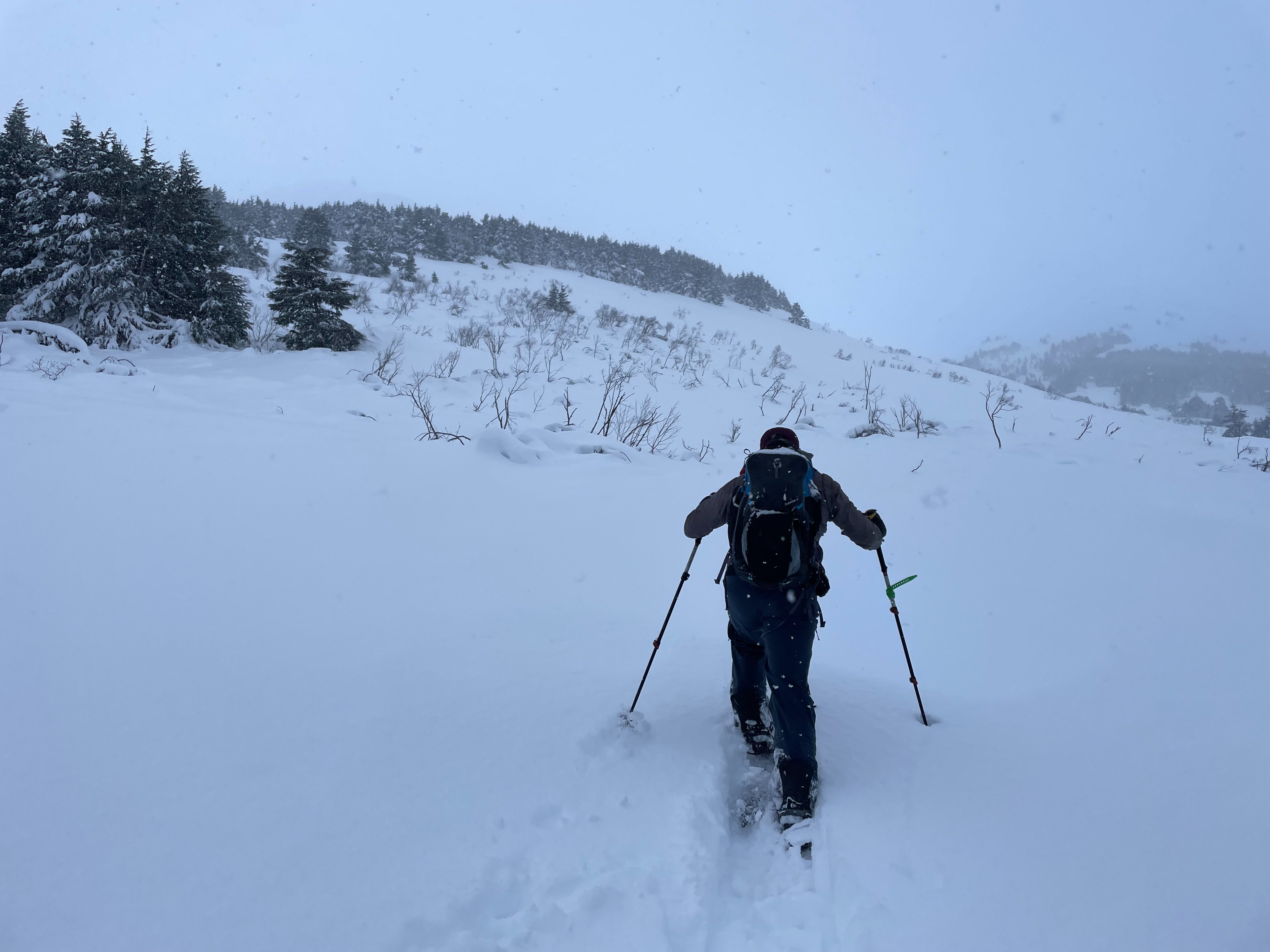
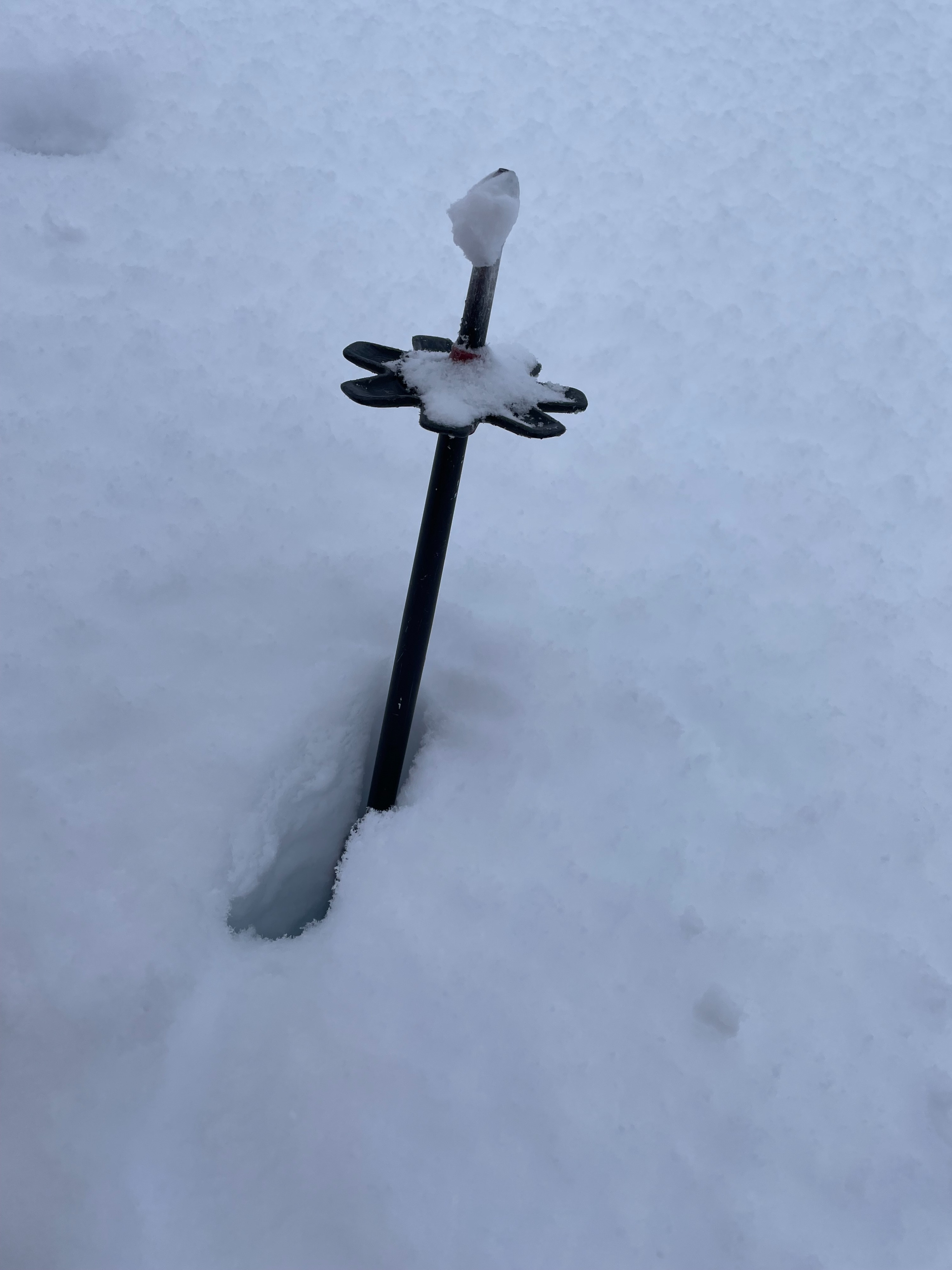
We toured up Tenderfoot to a high point of 2500' to assess how much new snow the recent storms, since Friday, have brought to this region. At lower elevations, we were excited to see that the alders had been laid down and were topped with 2 feet of new snow since Friday, in addition to the 2 inches of new snow that fell today. In wind-exposed terrain at mid-elevations, we observed the snow surface had formed a wind slab several inches thick from the strong winds associated with the recent snowfall. In leeward and wind-sheltered terrain at mid-elevations, we found 2-3 feet of settled new snow. We did not observe any signs of instability while traveling, however, it was snowing at a rate of 1 inch per hour and winds were strong above treeline. In our snowpit at 2500' it was difficult to discern how much snow this region has received since Friday, but we found a relatively strong snowpack structure with no concerning weak layers in the top 1 meter of the snowpack, which is a good sign looking forward. We did not venture into the alpine however with strong winds and snowfall it is likely that wind slabs are actively forming at these elevations. We found good skiing in the soft snow in the trees.
We observed heavy snowfall intensity from the start of our day, around noon until 2pm. Winds above treeline were strong and we observed active drifting.Weather
- Air Temp
- 25
- Cloud Cover
- obscured
- Wind Loading
- intense
- Rain Elevation
- 0
- Recent Snowfall
- 7
- Snow Avail For Transport
- moderate amounts
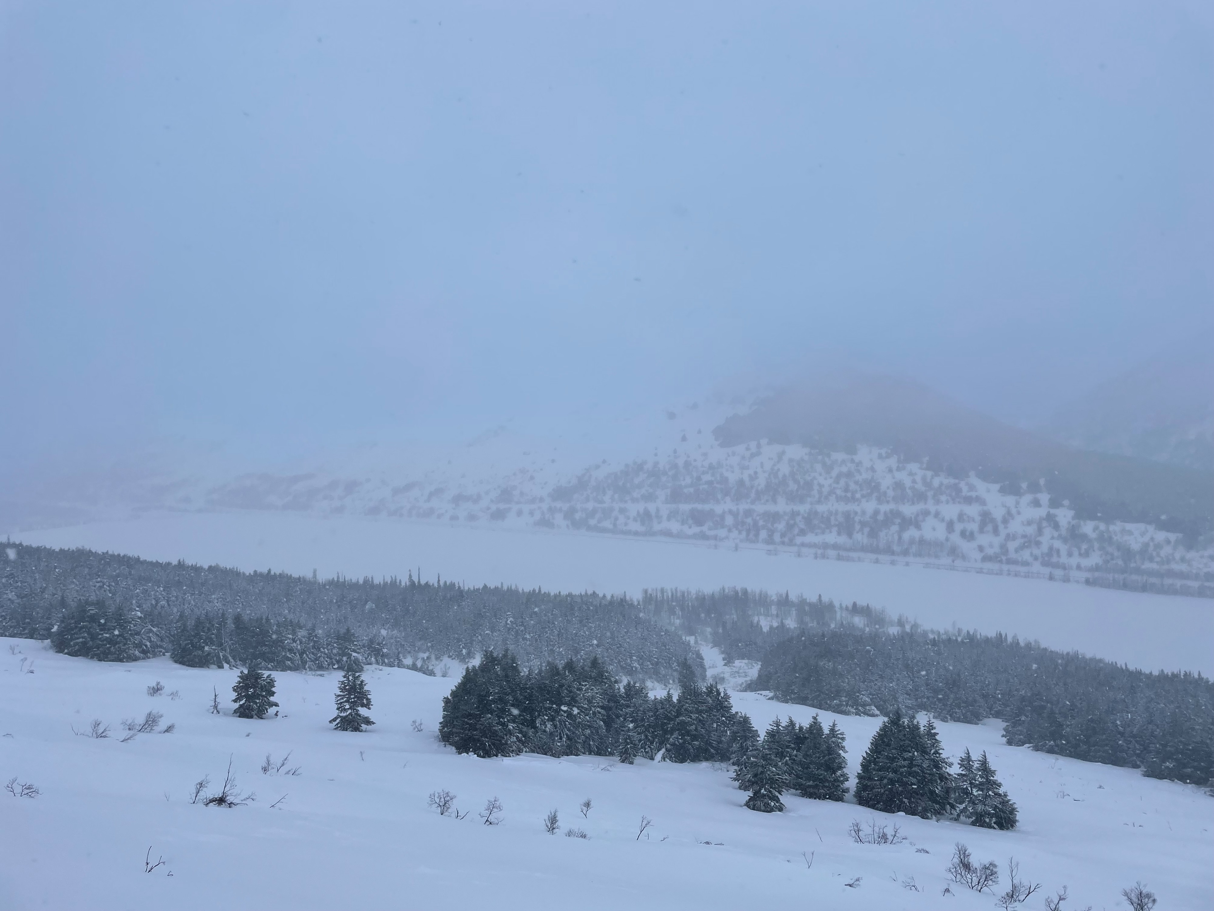
We began our day with obscured skies and moderate snowfall intensity, which increased as we got higher in elevation. As we traveled into less wind-sheltered terrain we observed strong winds and drifting snow. It stopped snowing and visibility increased around 2 pm and we could see into the valley and across to adjacent peak tops. Winds remained strong.
Snowpack
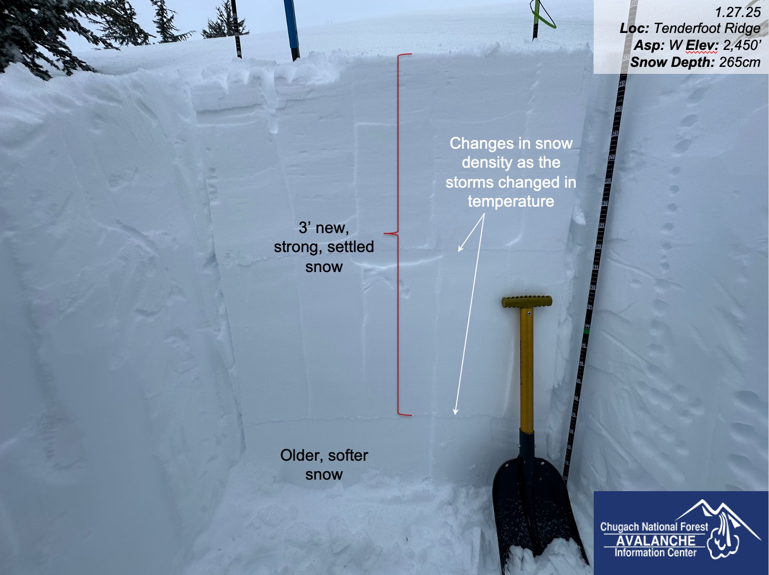
At lower and mid-elevations in wind-sheltered areas, we observed 2 feet of new, settled snow in addition to the new snow that fell today. Near our high point, around 2500' the top few inches of snow became stiffer, a wind slab formed by the strong winds that have scoured along the ridge. At mid-elevatons in leeward and wind-sheltered terrain, we estimate that this region has received nearly 3 feet of new, settled snow since the stormy weather began on Friday. In a snowpit at 2450' on a W aspect, we did not observe any concerning test results. Our snowpit test results were ECTP33 50cm from the surface at a hardness change from stiffer wind-blown snow, to softer 1-finger hard snow. We did not observe any weak layers in the top 1 meter of the snowpack which is a significant change from the state of the snowpack before the recent storms. We did not venture into the alpine, however, we observed active drifting and moderate snowfall intensity which was likely building wind slabs in leeward terrain in the alpine.
Avalanche
- Size
- D2.5
- Count
- 3
- Aspect
- NW
- Trigger
- N
- Elevation
- 3000 ft
No avalanches were observed.