
Quick report
- Aspect
- Northwest
- Red Flags
- Heavy Snowfall, Wind Loading, Poor Snowpack Structure
- Elevation
- 2591 m
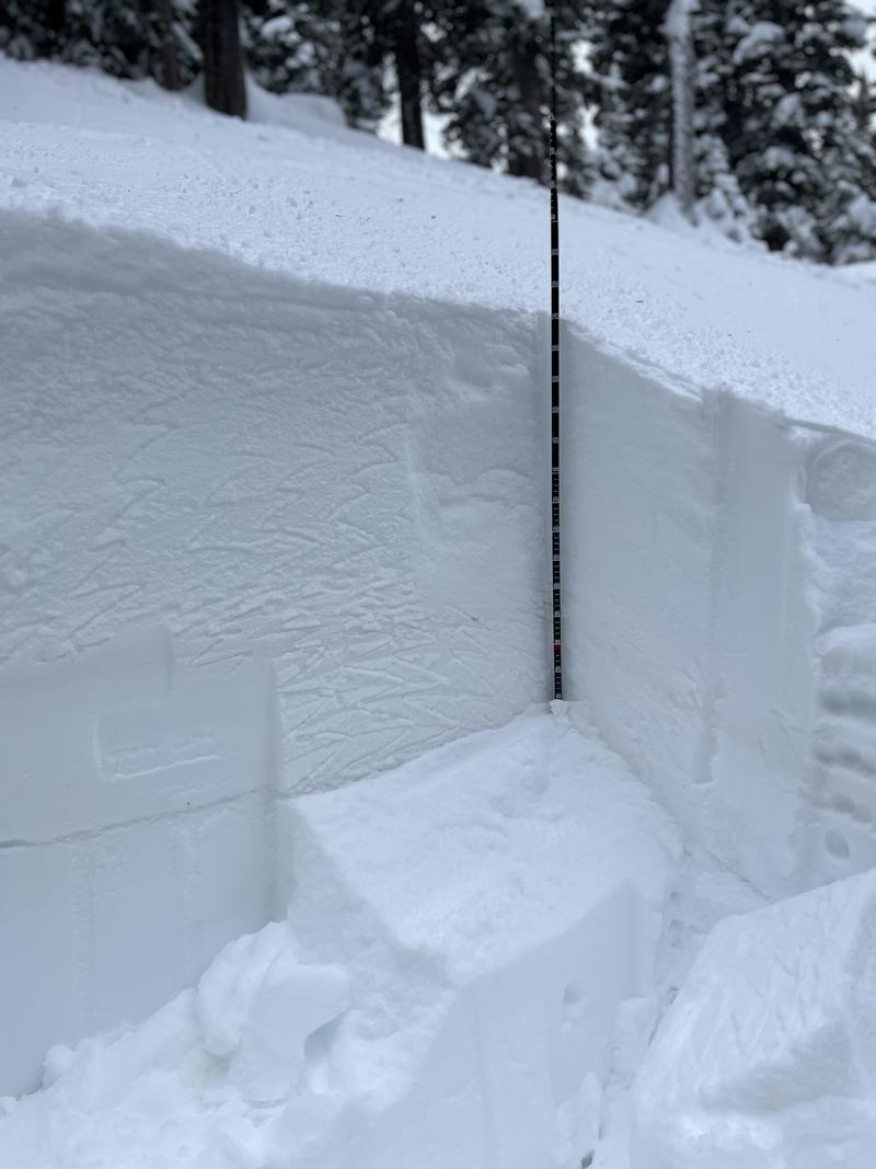
Total snow th depth was about 140cm, with about 12-18' of new snow at higher altitudes. I ran a ECT on a N-NE facing slope at about 8500ft that resulted in a ECTP23. Full propagation was at a weak layer at about 80 cm from the ground. As you can see in the pic, there is a clear line where the week layer is. It appeared to be surface facets. However, I was expecting it to break on a thicker layer of facets from the November drought which wasn't the case. The snow below the shear layer was at 1 finger of hardness. And we could feel that layer on the at higher altitudes as our sleds was hooking up nicely to it. Riding conditions were surprisingly good for this early in the season above 8200'. Lower levels, however, it is much thinner and you could definitely feel that week, sugary faceted layer from the November dry spell. Once the sled broke through in to this layer, it was a struggle to stay moving.
Snowpack
- Instability Comment
- <p>Franklin TH had about 4-6" of new snow. As we progressed higher on our route we noticed new snow levels to be as much as 18" in areas above 8500' and it was snowing heavily. The snow was of light density, blower Pow. </p> <p>The winds were ripping most of the morning at higher altitudes and hilltops. 15-20mph at least. Snow was being transported and wind loading of the slopes on top of the already established weak layer could prove problematic for the next few days. </p>