
Quick report
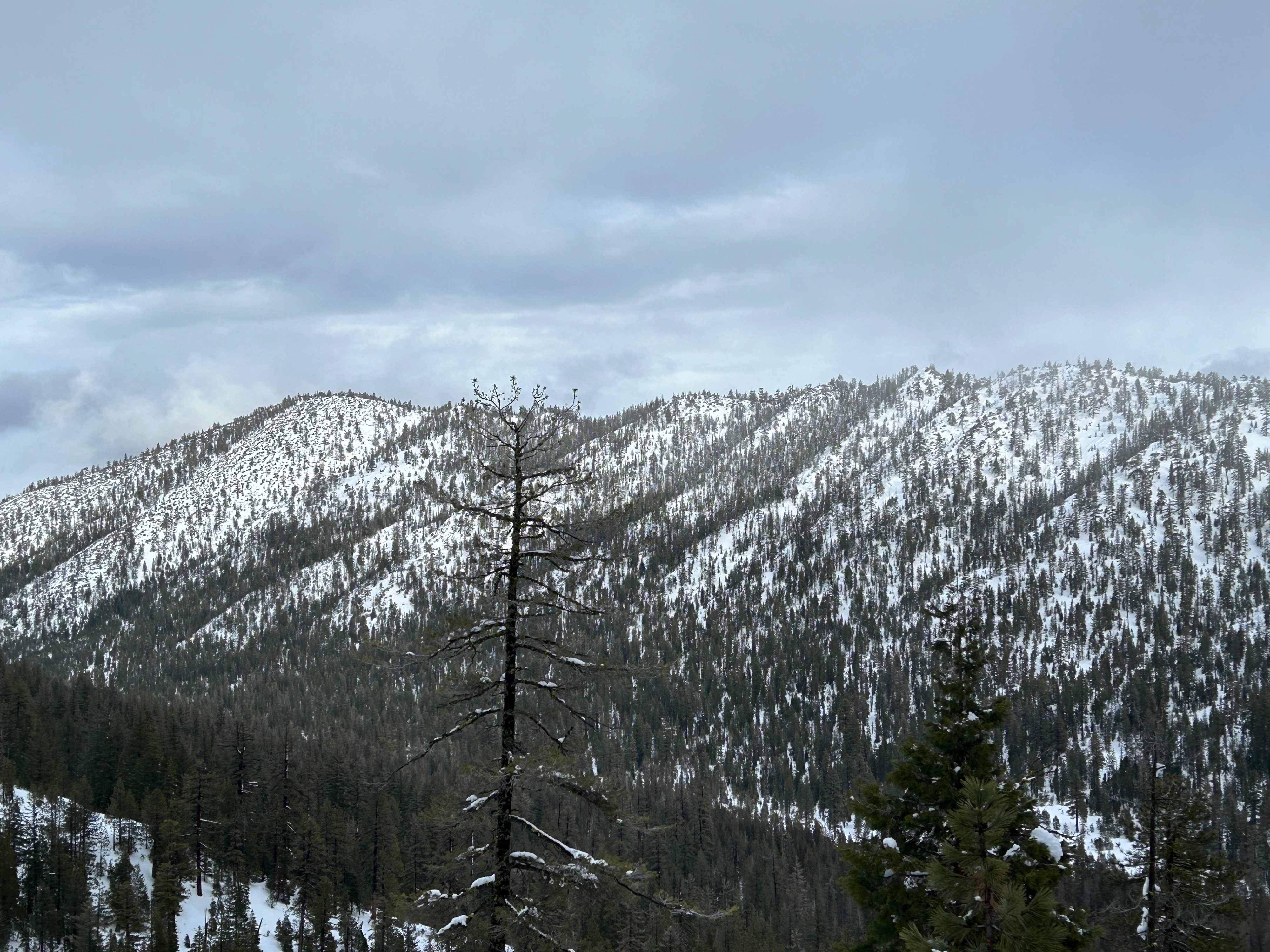
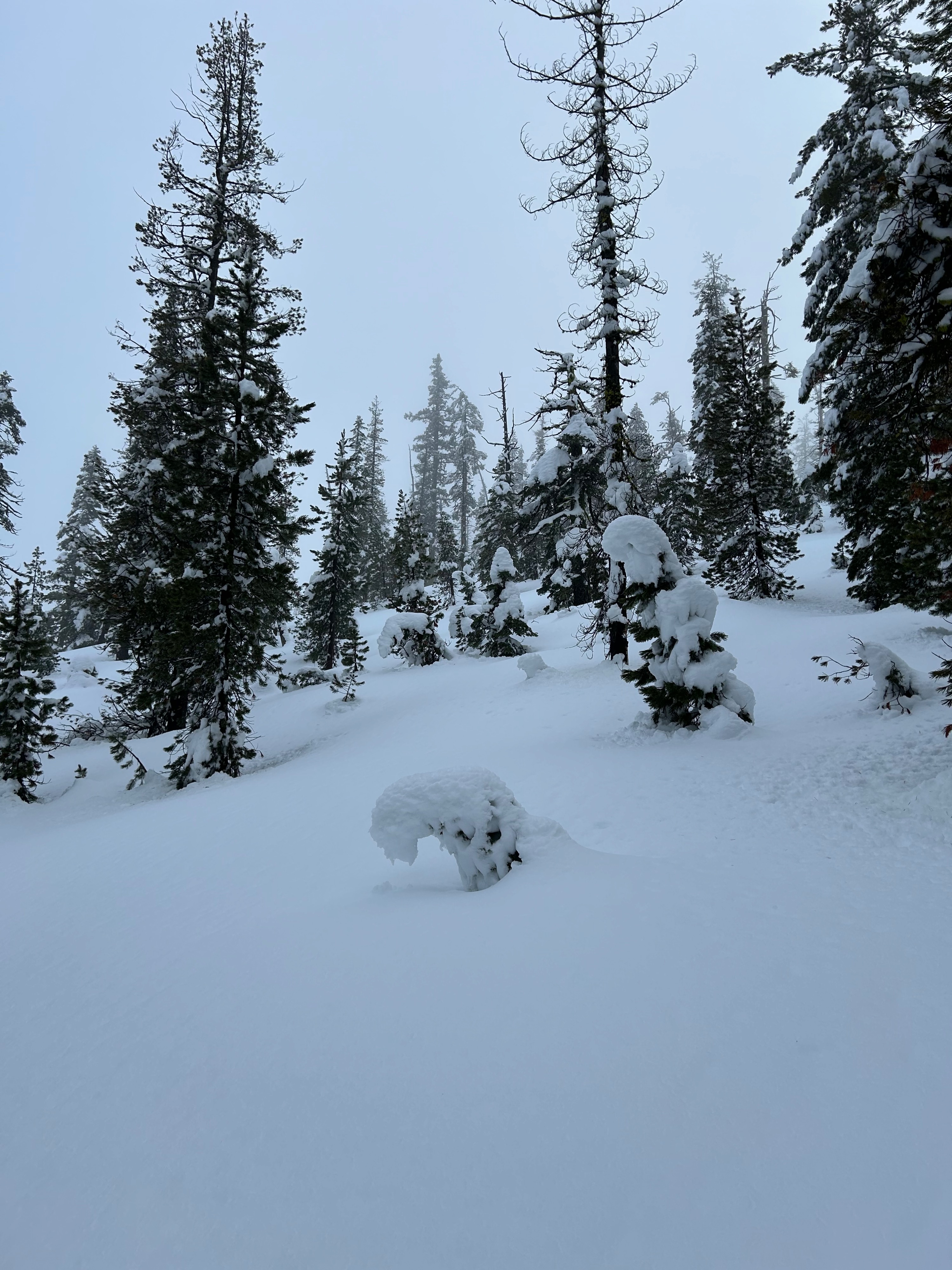
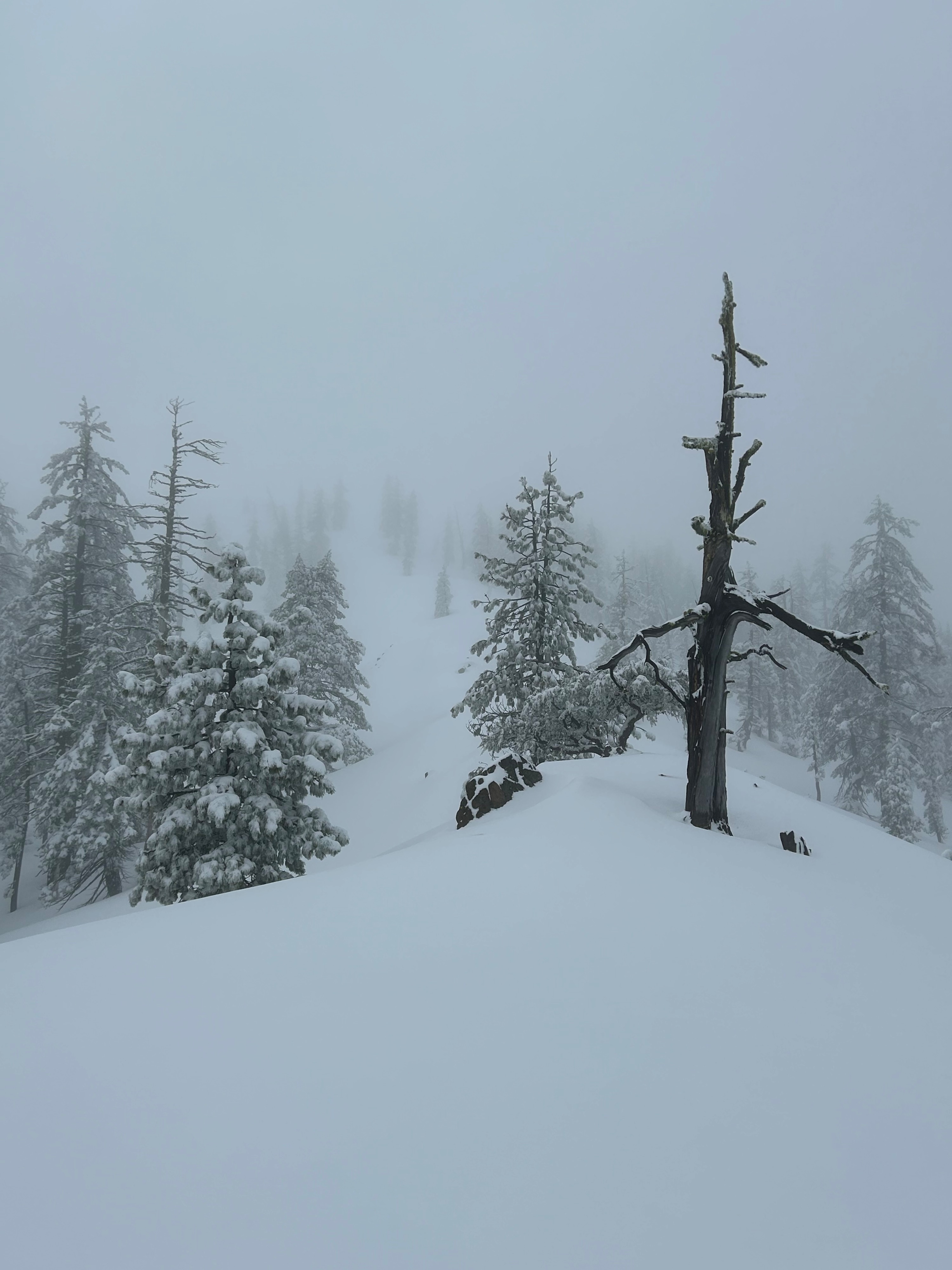
Today, myself plus one struck out into the Eddy mountains to assess post storm conditions. The day was wet and warm. Heavy snow conditions made for deep and difficult travel. The rain has melted a vast majority of snow below treeline, especially on southerly aspects. At higher elevations, 6,000 feet and above, a more uniform snowpack exists, with northerly slopes holding up to 215 cm (45 inches) of snow. A boot penetration to the knee was experienced multiple times.
Weather
- Air Temp
- 36
- Cloud Cover
- overcast
- Wind Loading
- none
- Recent Snowfall
- 10
- Snow Avail For Transport
- none
If you stopped and listened, you could hear what sounded like rain but was actually water dripping off trees. Misty clouds engulfed the high peaks and sparse widows of visibility shown though every so often. Temperatures climbed above freezing, reaching into the upper 30s. Winds were calm with the occasional moderate gusts.
Snowpack
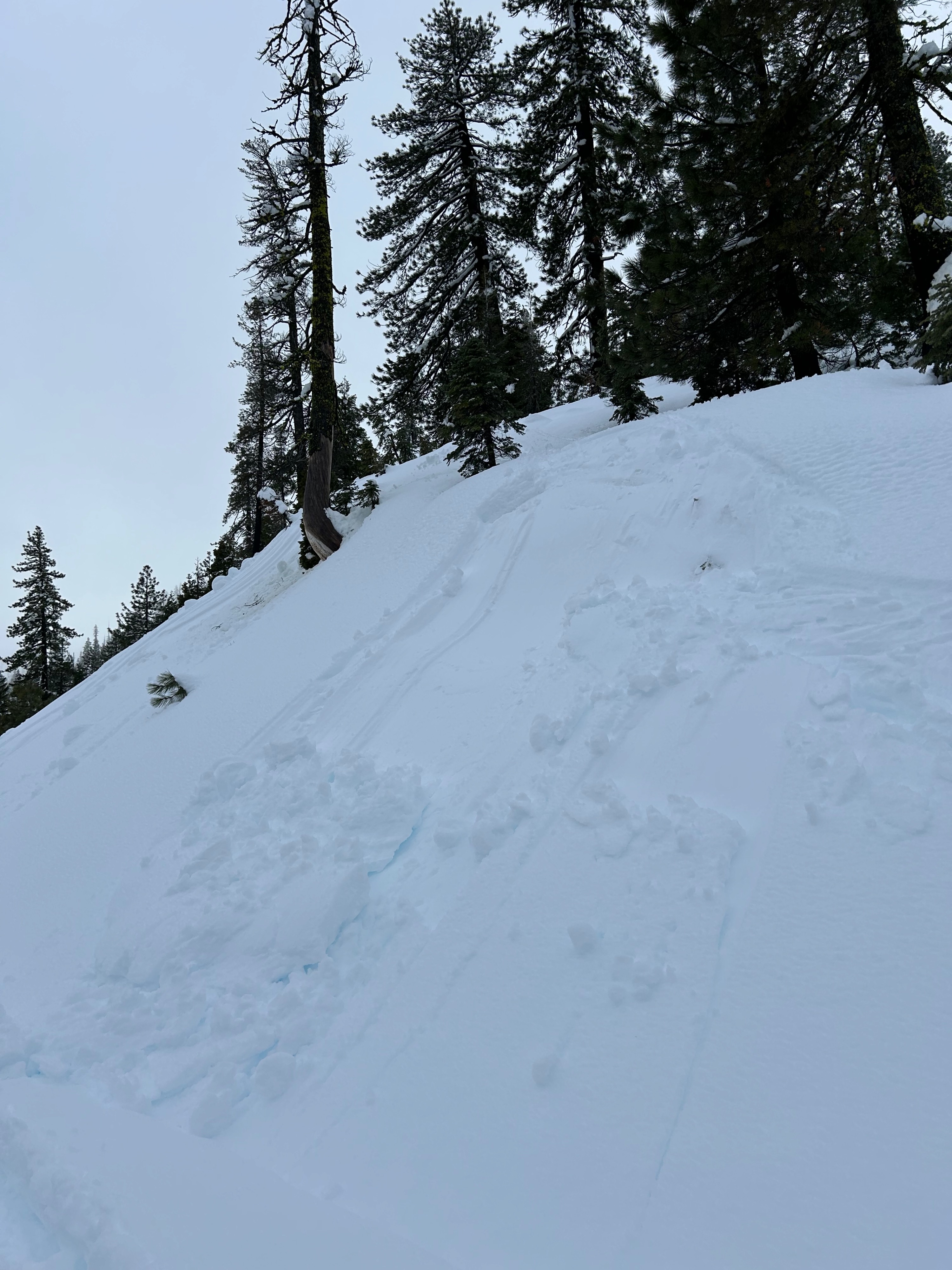
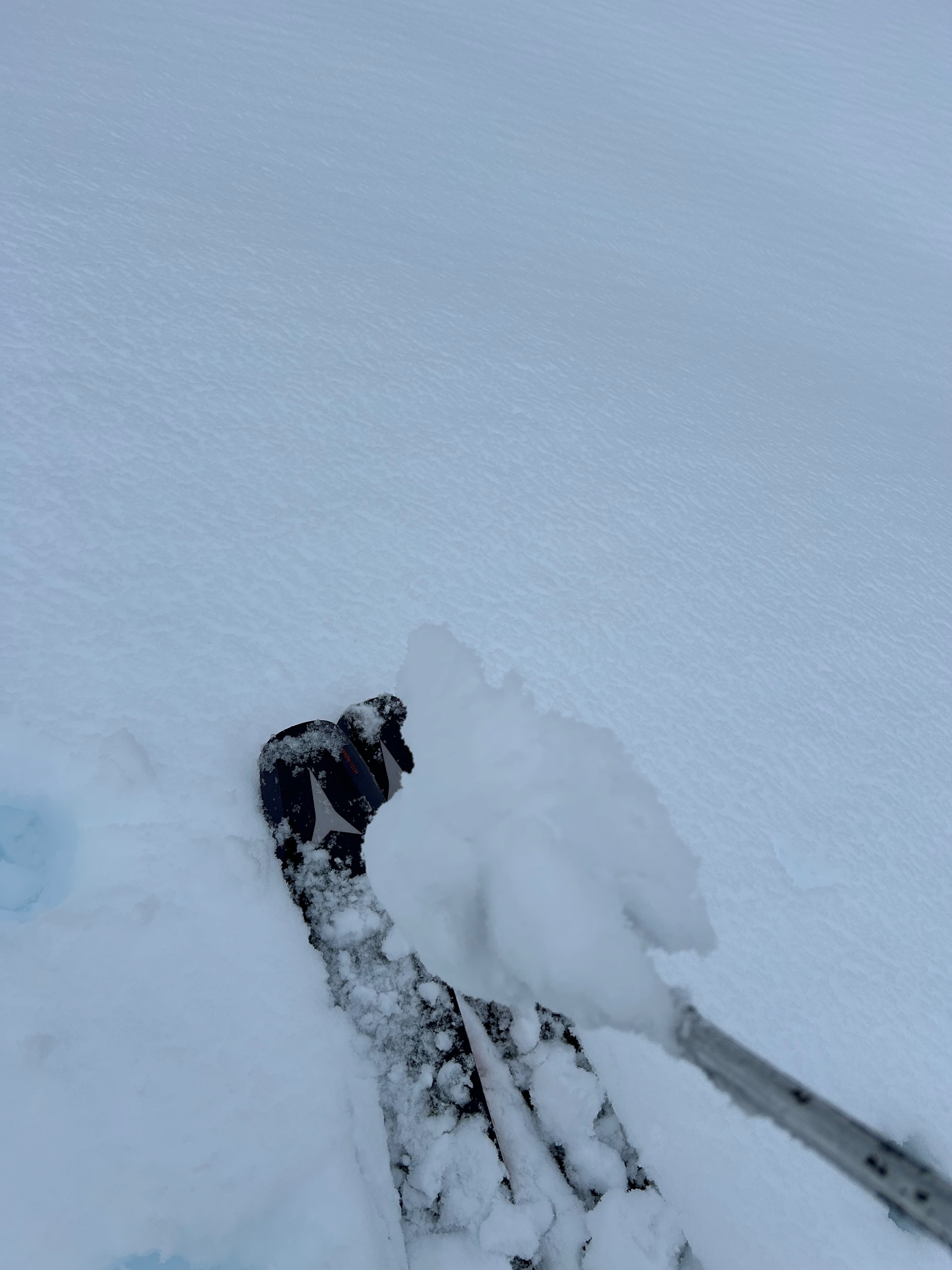
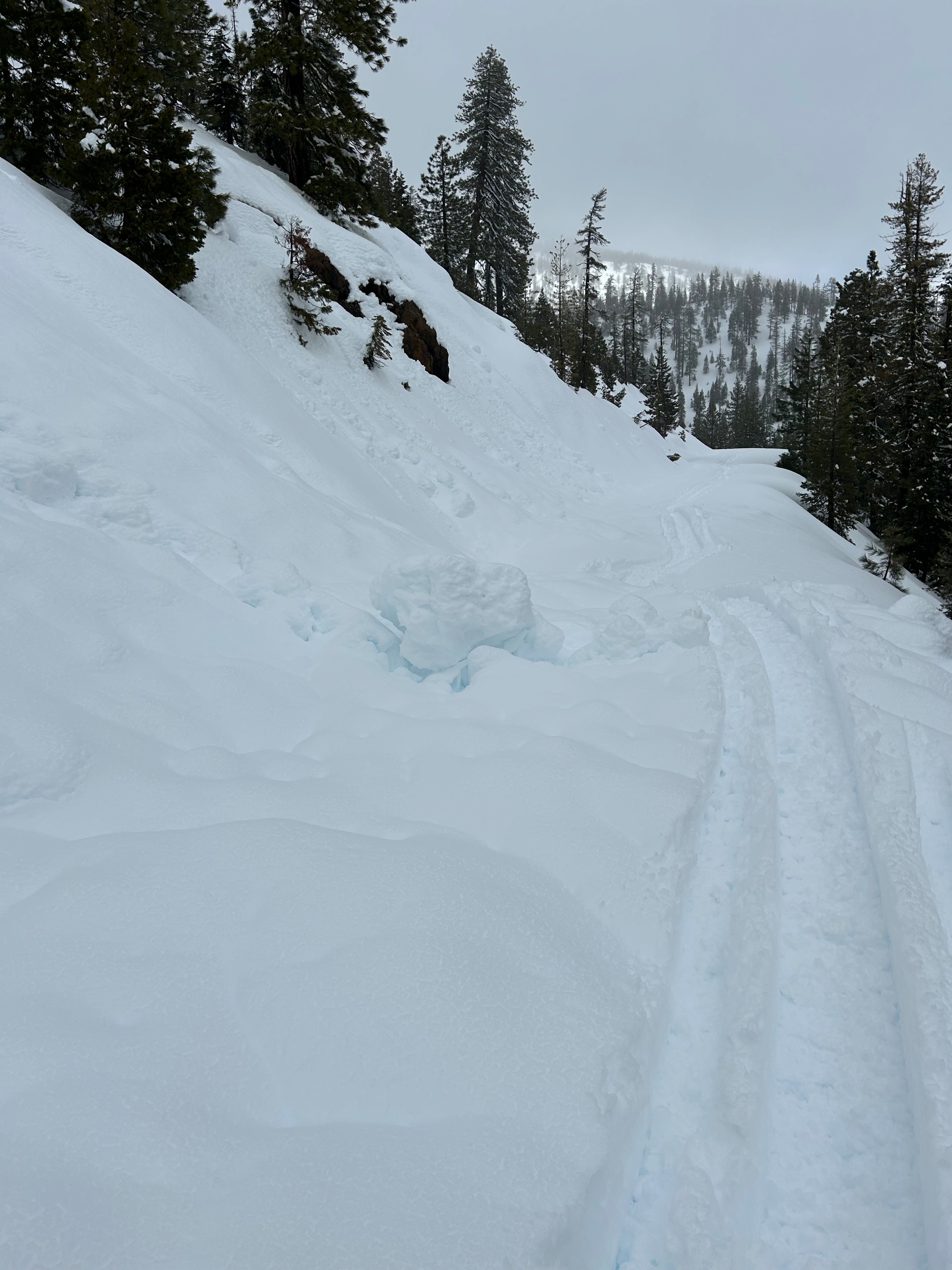
A very moist and heavy snowpack exists. The top five inches of snow hold the most water and can easily be caused to slide in steep terrain. Pinwheels and roller balls, were observed on east aspects beneath rock outcroppings. Near ridgelines, snow penetration was much less due to a firmer sub-surface. Cornices the size of refrigerators are present on the east and north aspects of ridgelines. No blowing snow of signs of wind drifting were observed.