
Quick report
- Cracking
- specific
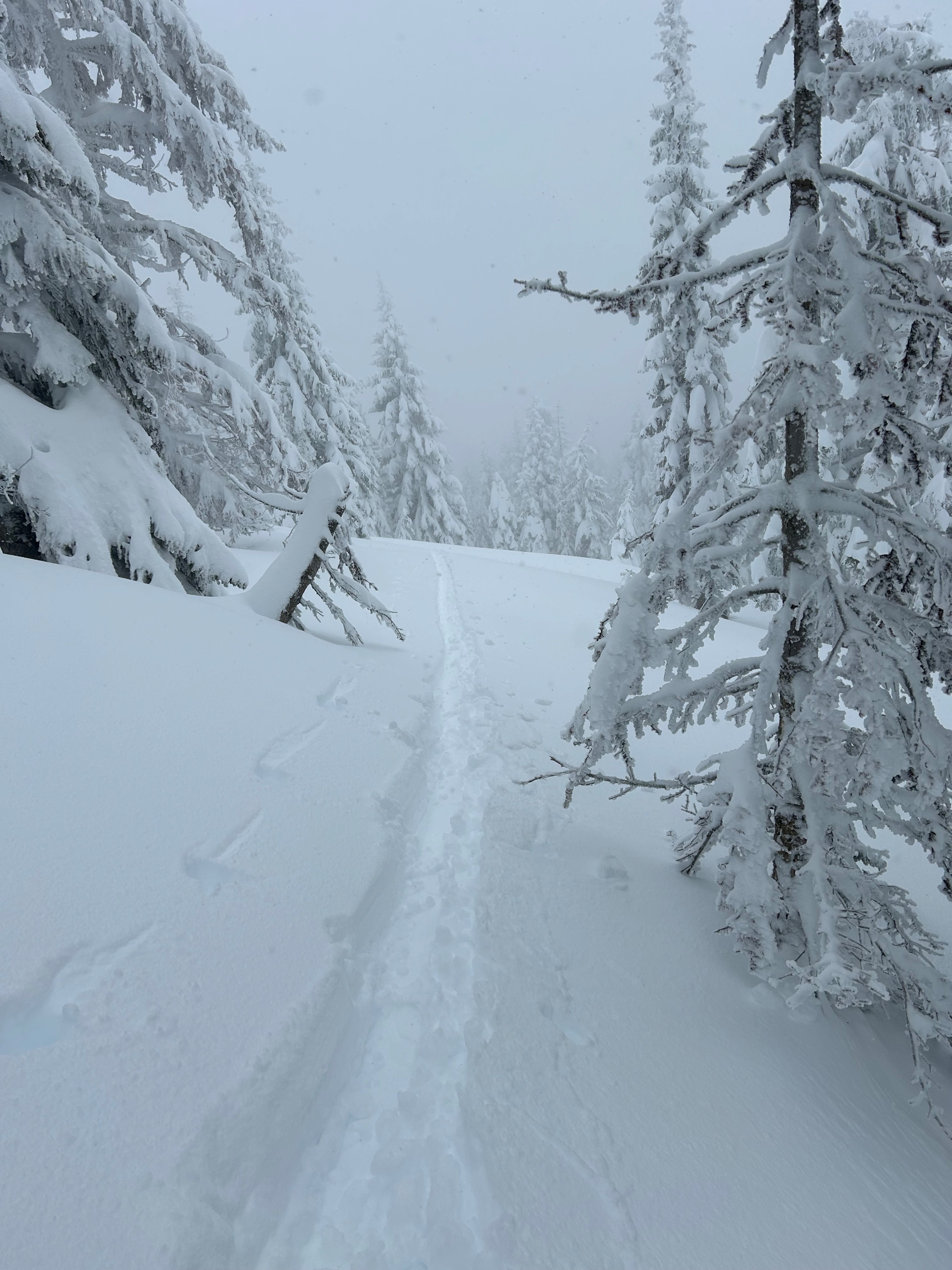
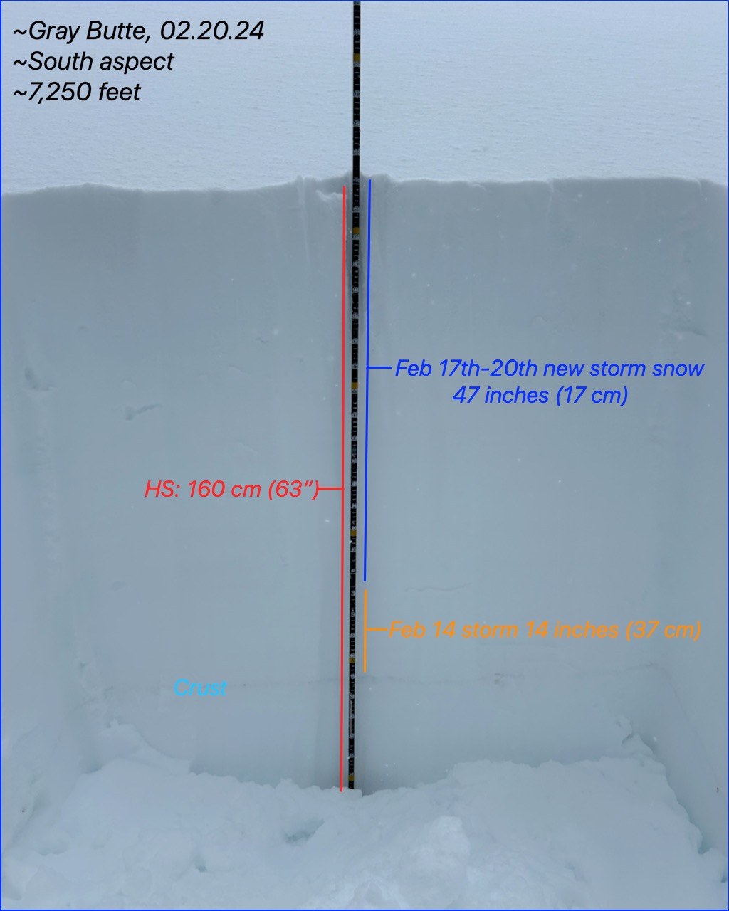
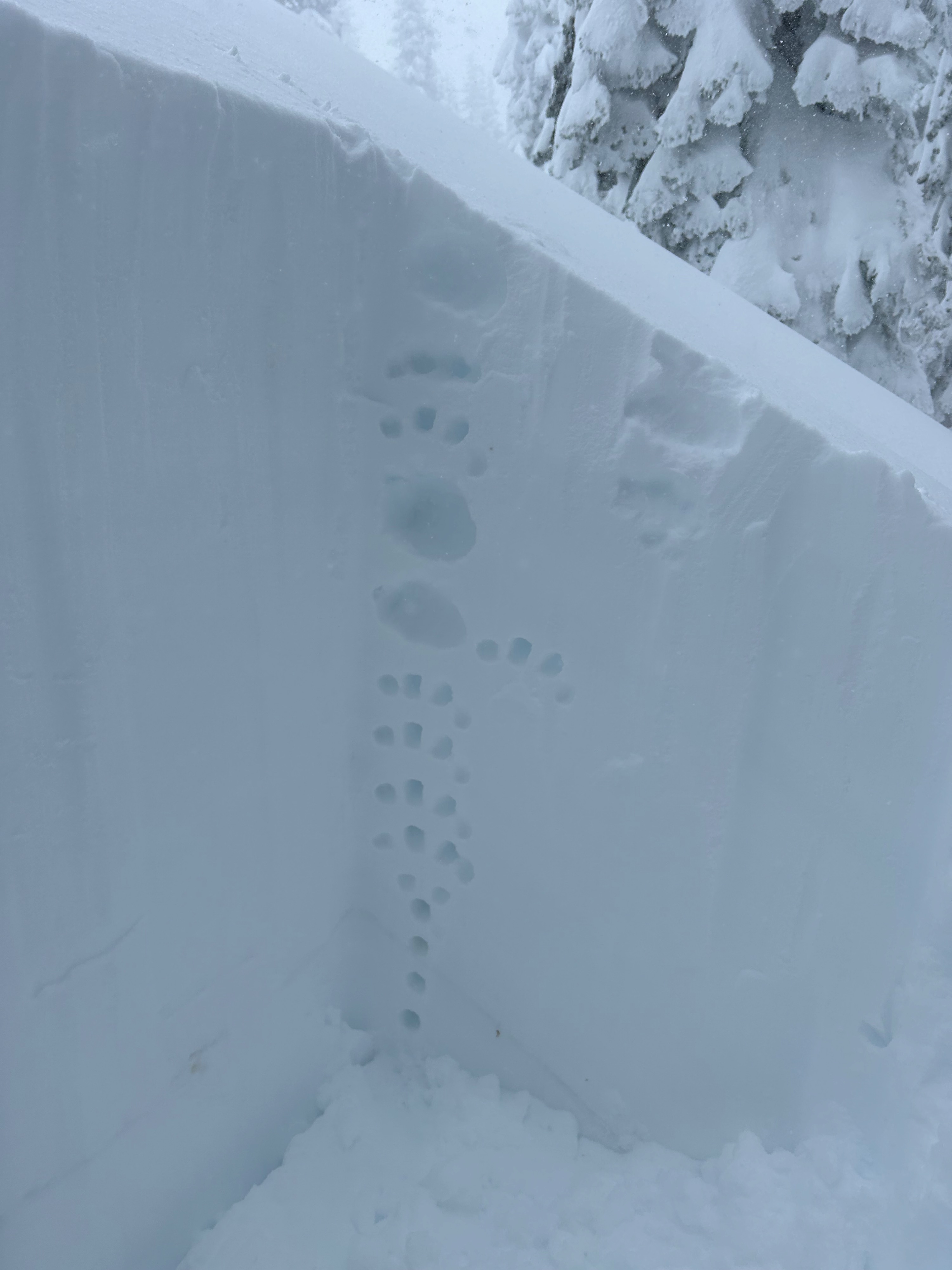
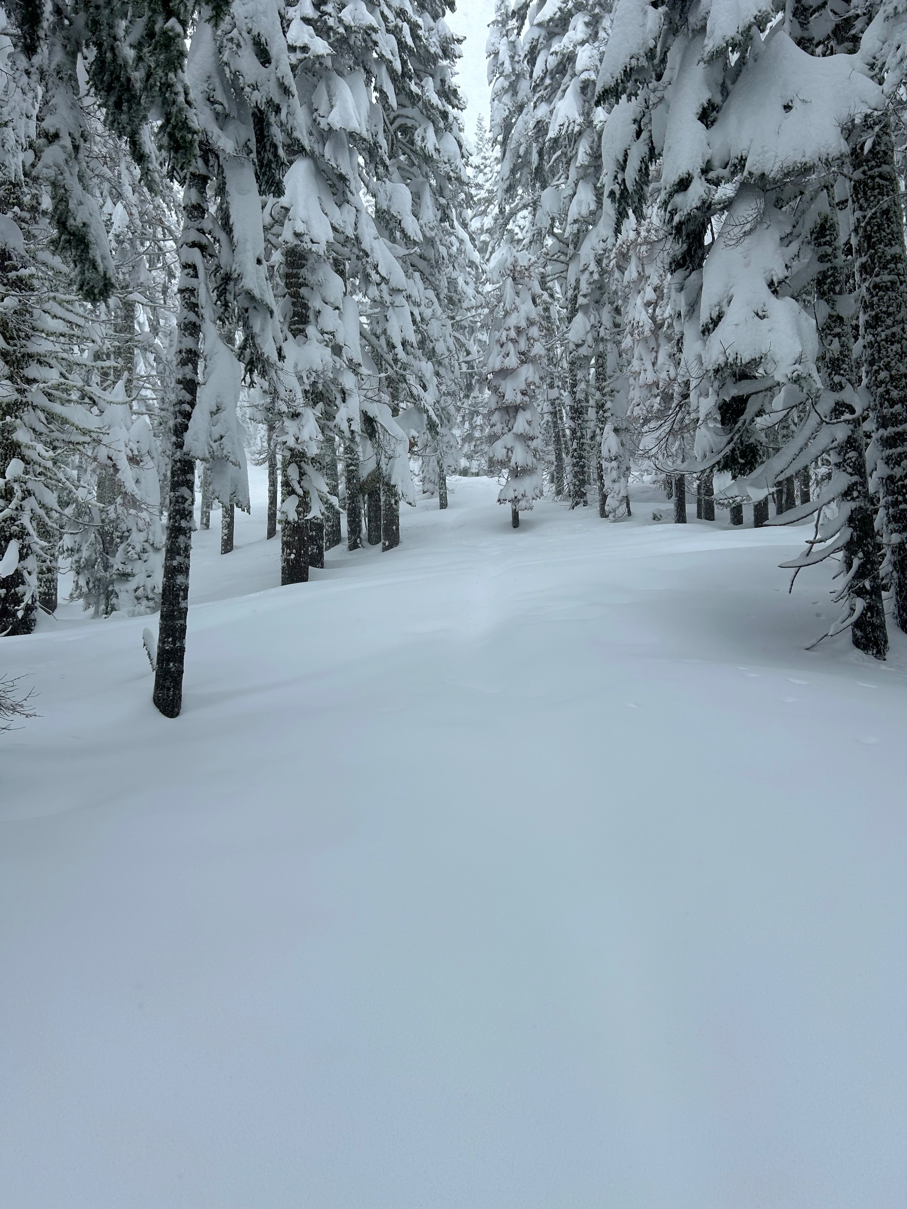
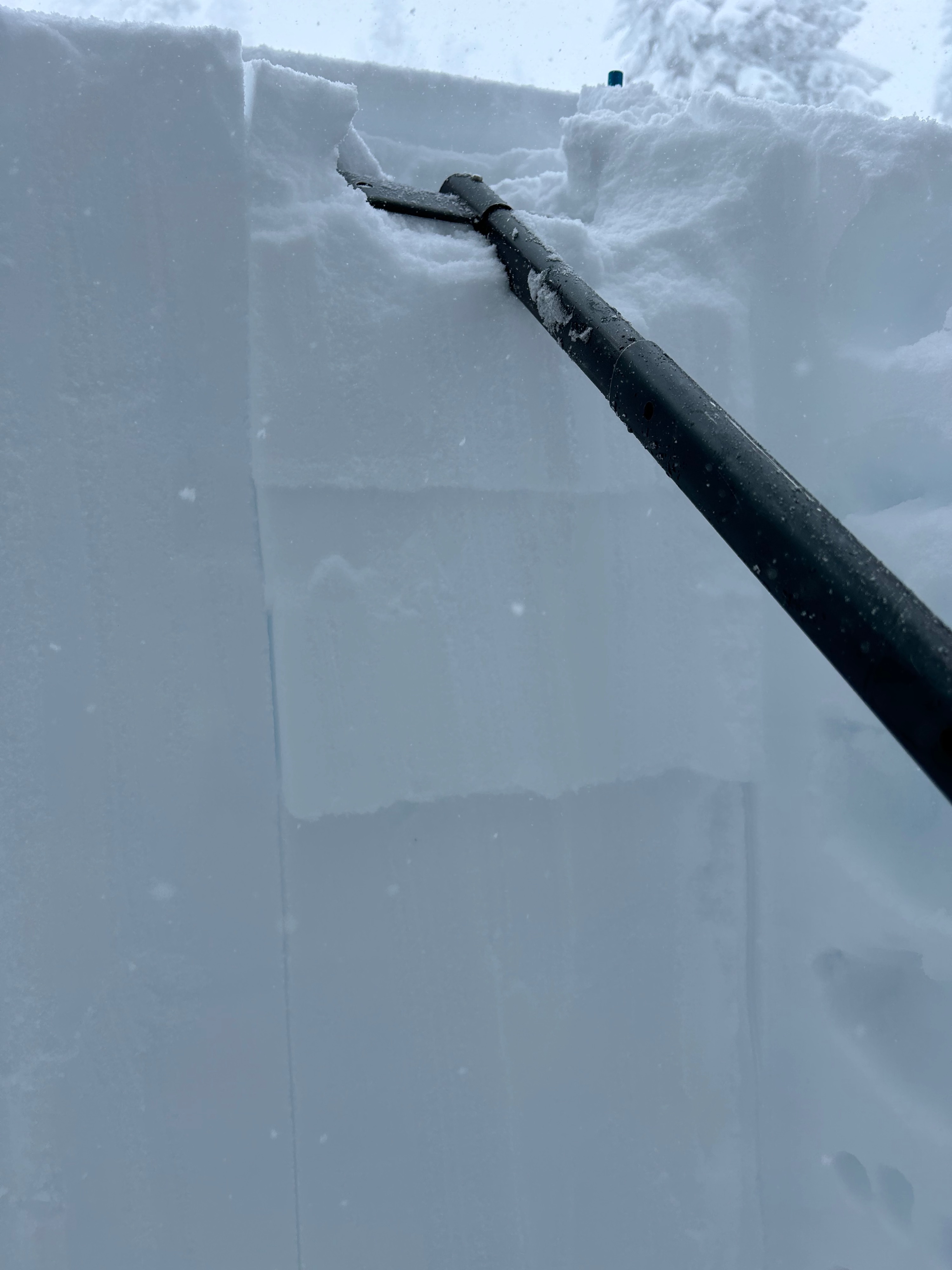
Today, the avalanche danger and signs of instability were not as obvious as the day prior. On small inconsequential test slopes, small shooting cracks and stubborn storm slabs were observed. Although very stubborn, the slabs that did release were 30+ cm deep and held some girth to them. Findings also reviled an upside-down snowpack structure. 14 inches of tiny, dense new snow particles have re-canvased yesterday's dry stellar dendrites. This new surface snow made for very supportable walking conditions. However, once you step off the skis, a plunge to the crotch or waist is eminent.
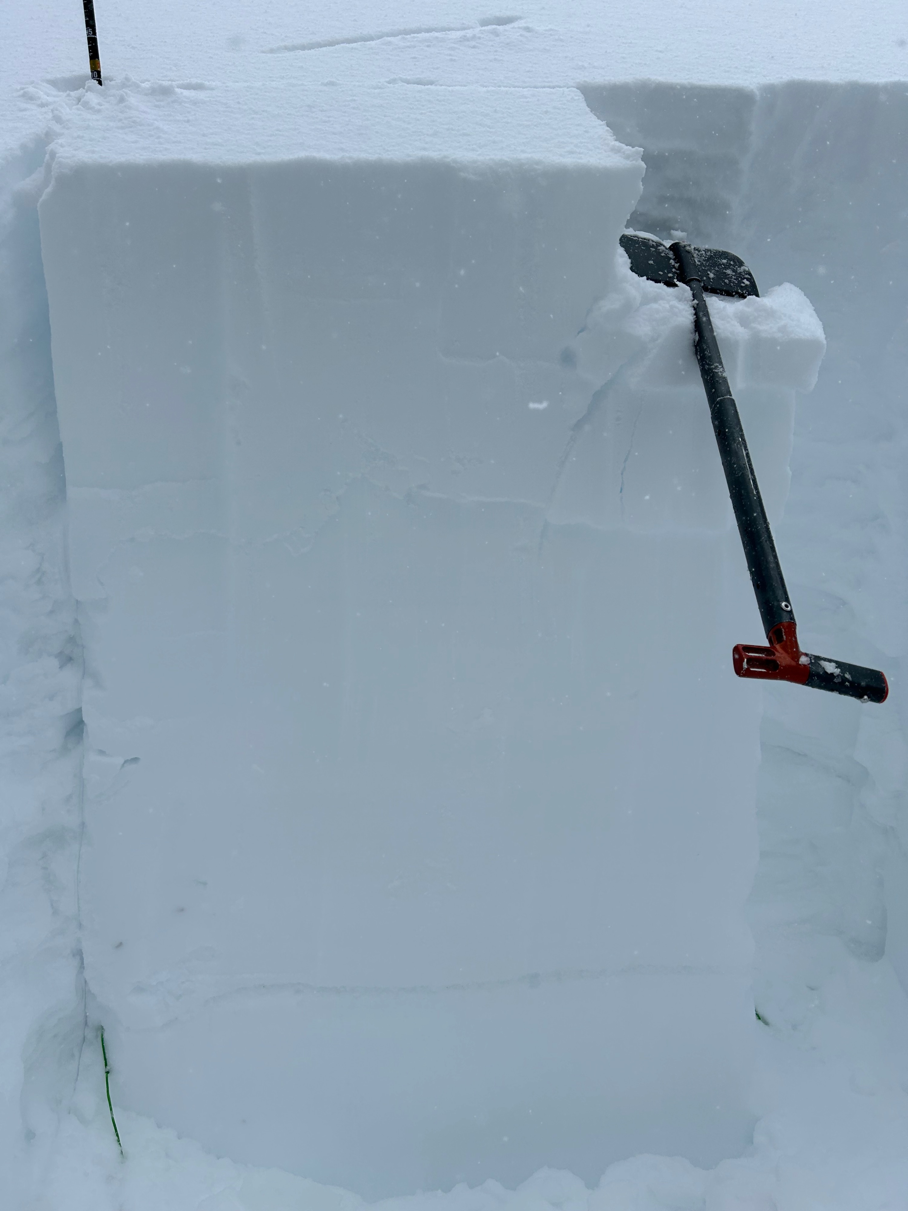
A CT test showed fracturing in the top 25 and 40 cm of the snowpack. An ECT achieved propagation 35 cm (13”) down in yesterday's softer snow layer.Weather
- Air Temp
- 28
- Cloud Cover
- obscured
- Wind Loading
- moderate
- Rain Elevation
- 4,200
- Recent Snowfall
- 14
- Snow Avail For Transport
- large amounts
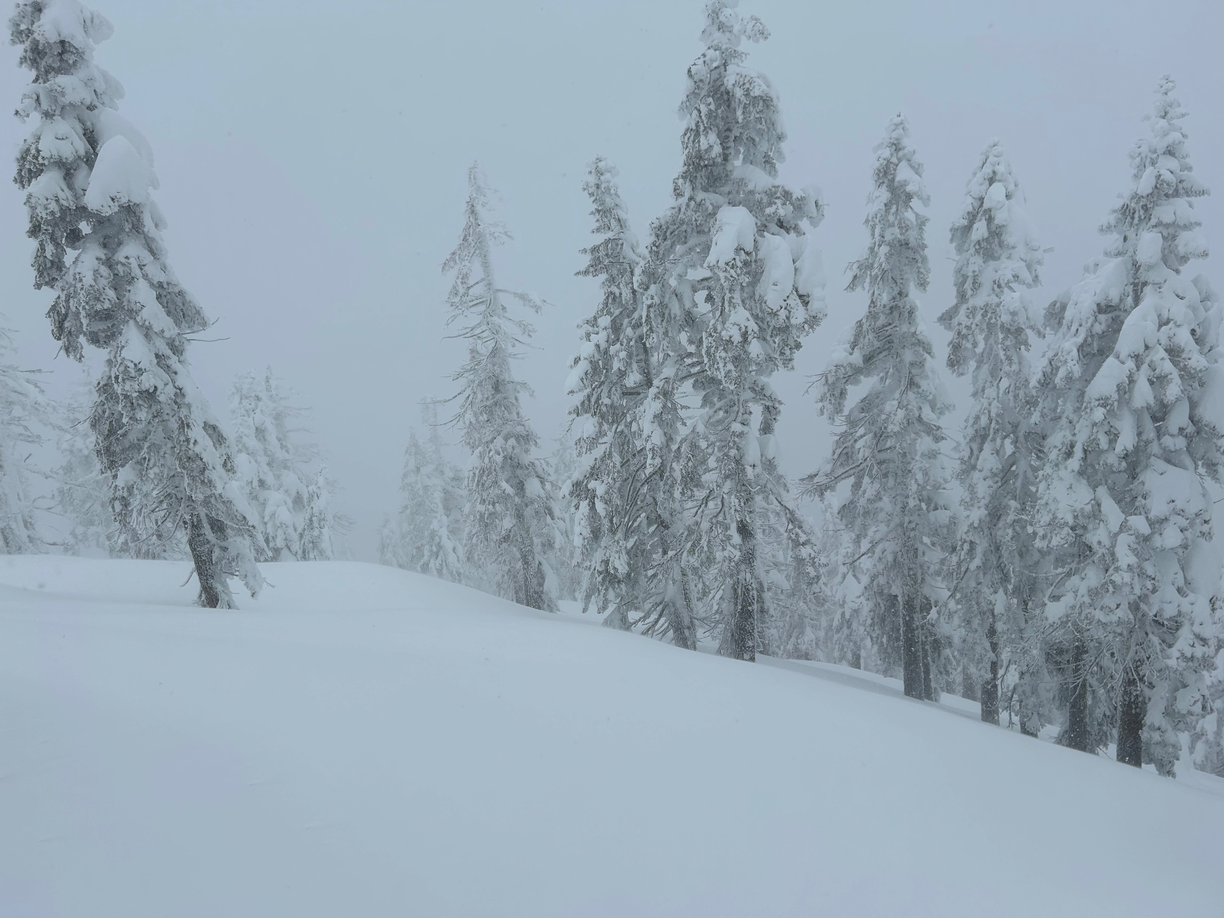
Rain transitioned to snow at around 4,200 feet. From that point on, it continued snowing at less than one inch per hour rates for the entirety of the outing. Winds were more present below and near treeline, causing a moderate amount of snow transport from a south and southeast wind. Visibility remained obscured and temperatures stayed below freezing.
Snowpack
Overall, the snowpack has settled out a decent bit with less reactive conditions. Nevertheless, a hefty surface slab now overrides softer snow, creating a poor snowpack structure and the potential for a significant avalanche. This structure will most settle out over time, and forecasters will monitor its evolution in the days to come. Meanwhile, remain cautious of steep, convex, and unsupported slopes.