
Quick report
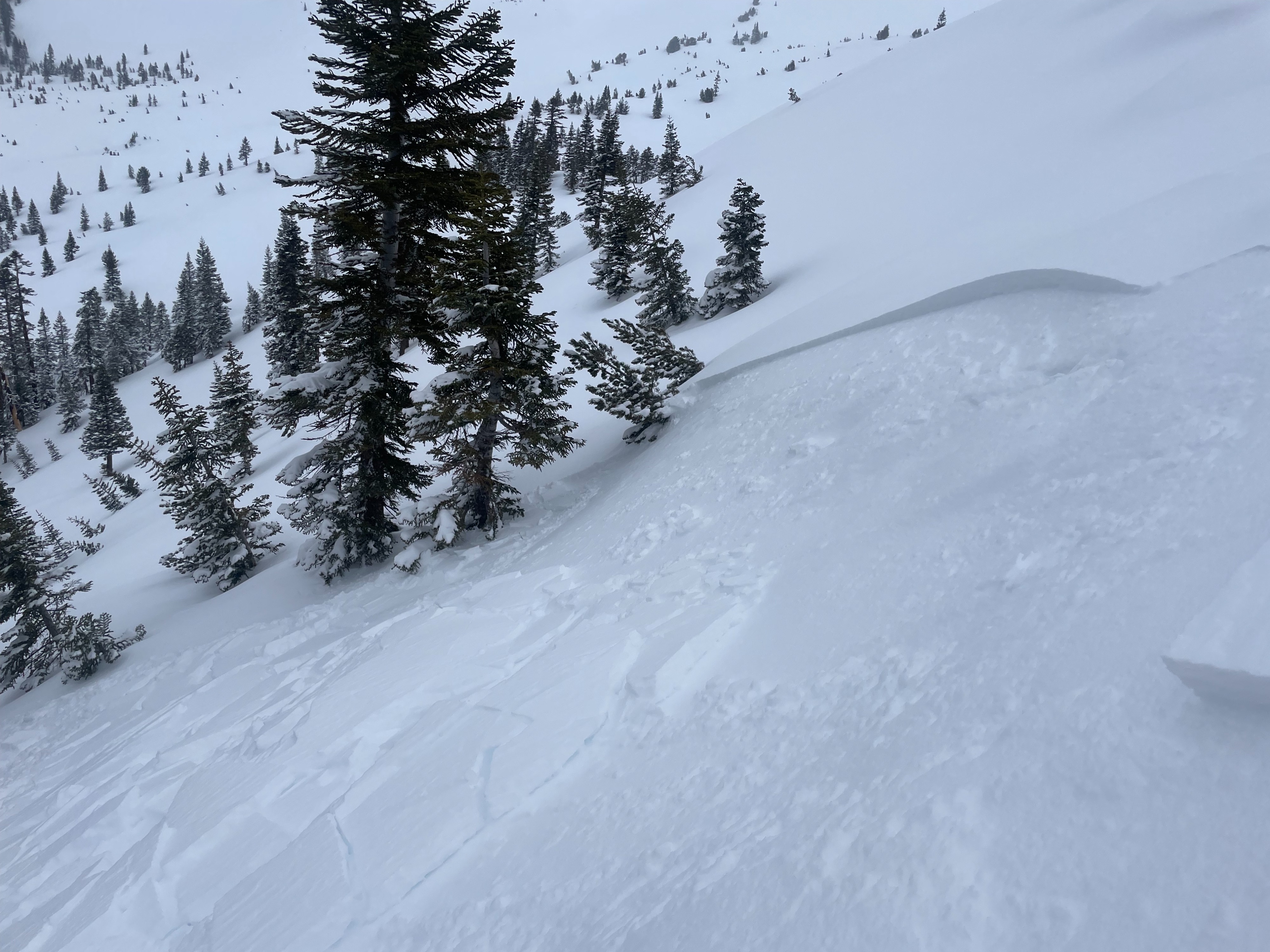
- Cracking
- specific
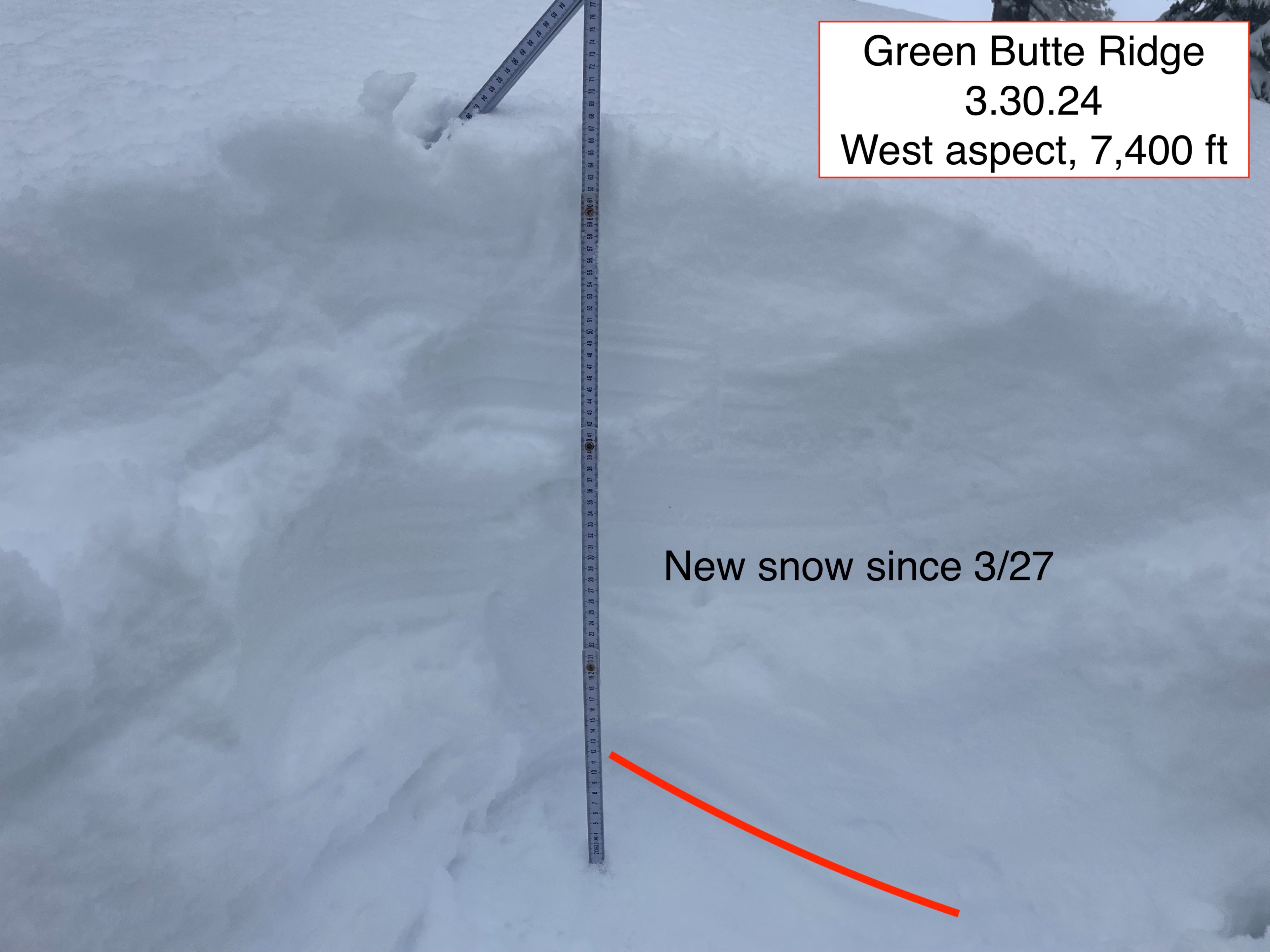
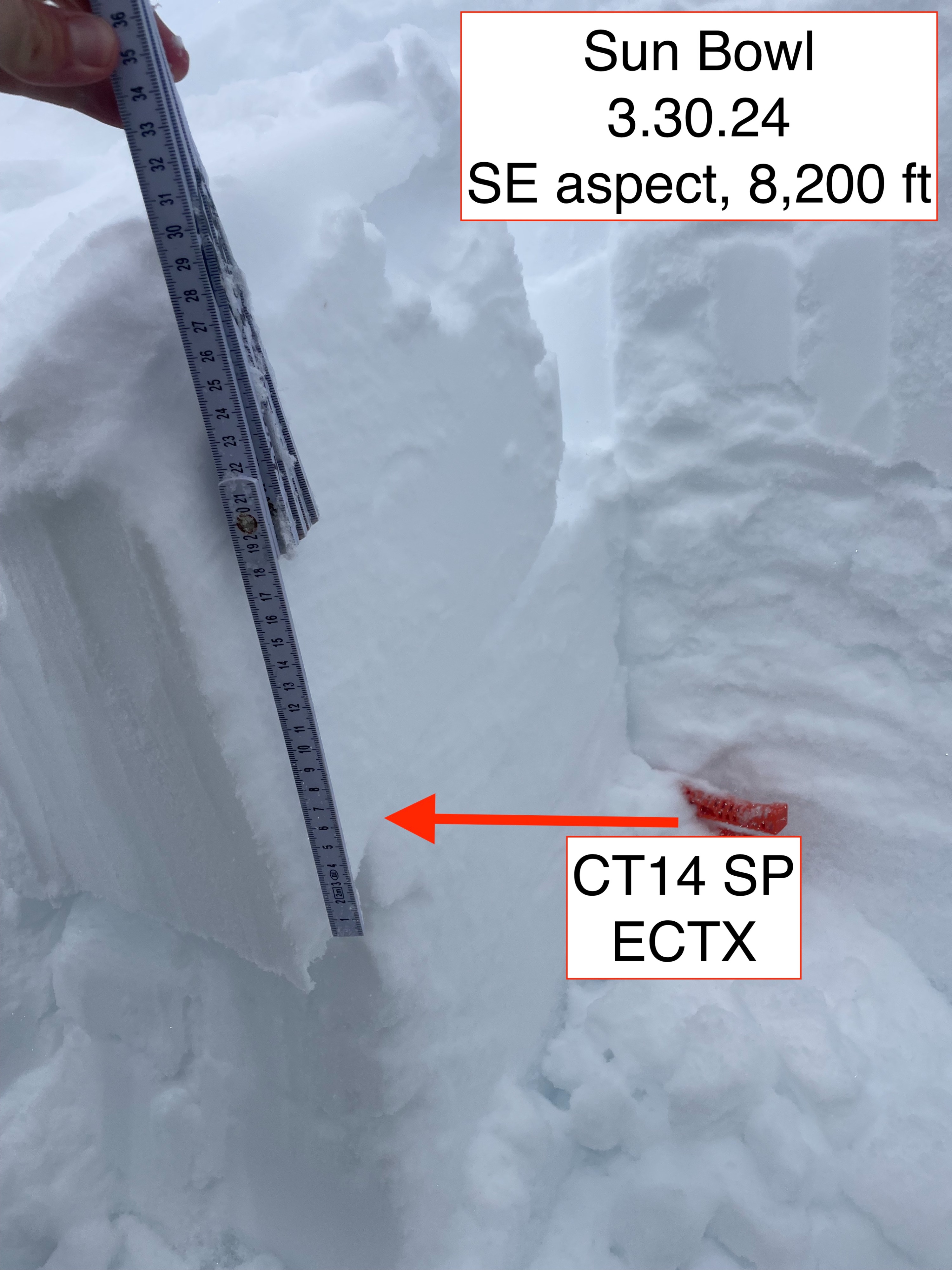
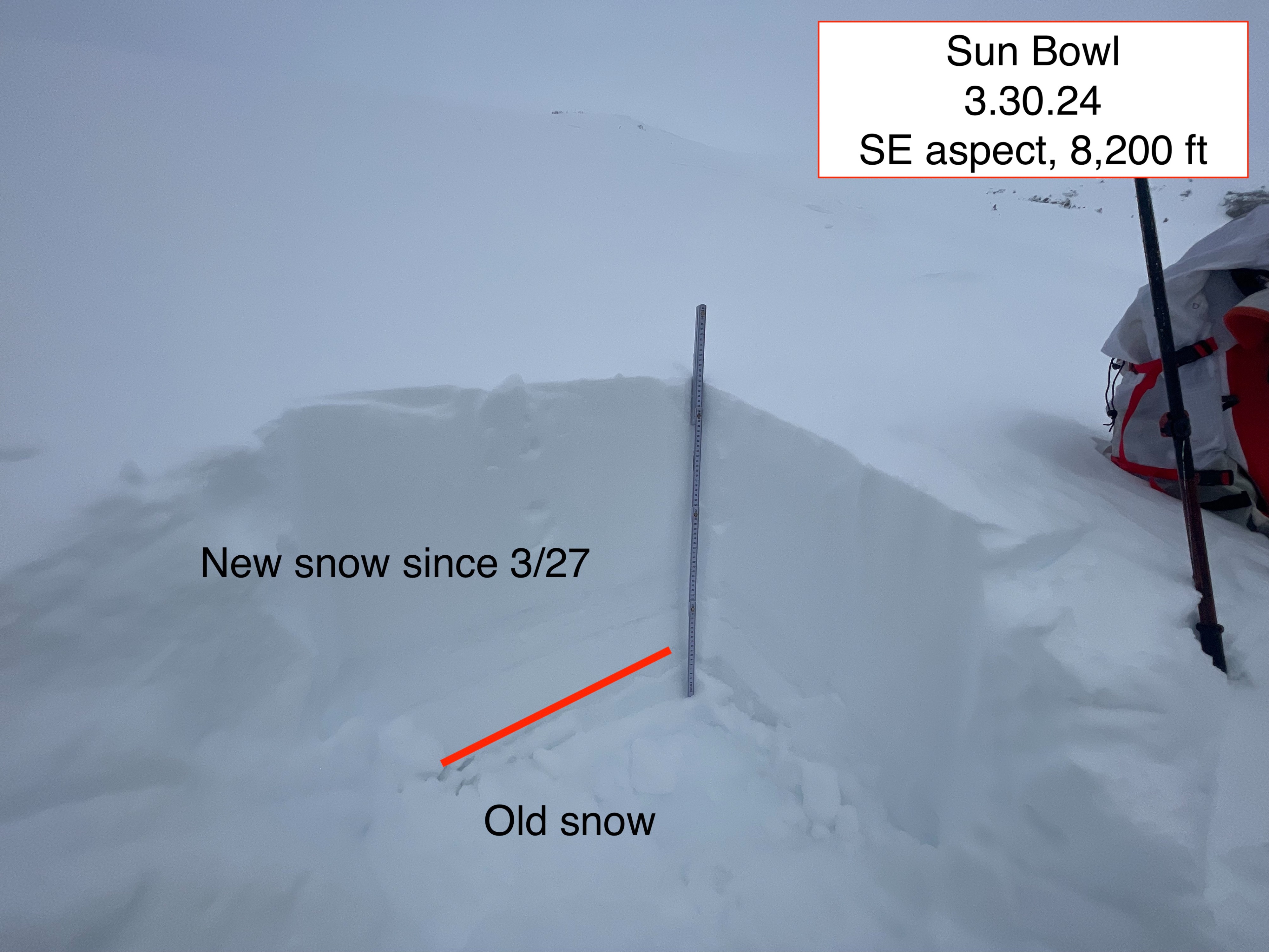
Today's objective was to measure new snow accumulations and investigate the extent of wind slab instability. The showery nature of the current storm system has provided an additional ~6 inches of snow to the south side of Mount Shasta. In total, since 3/27, most observed areas show 24 inches of new snow. For most areas, snow quality remains adequate thanks to the consistent cool temperatures and cloud cover. Green housing is beginning to dampen surface snow in some zones. I suspect there will be a rising wet avalanche instability once the sun comes out.
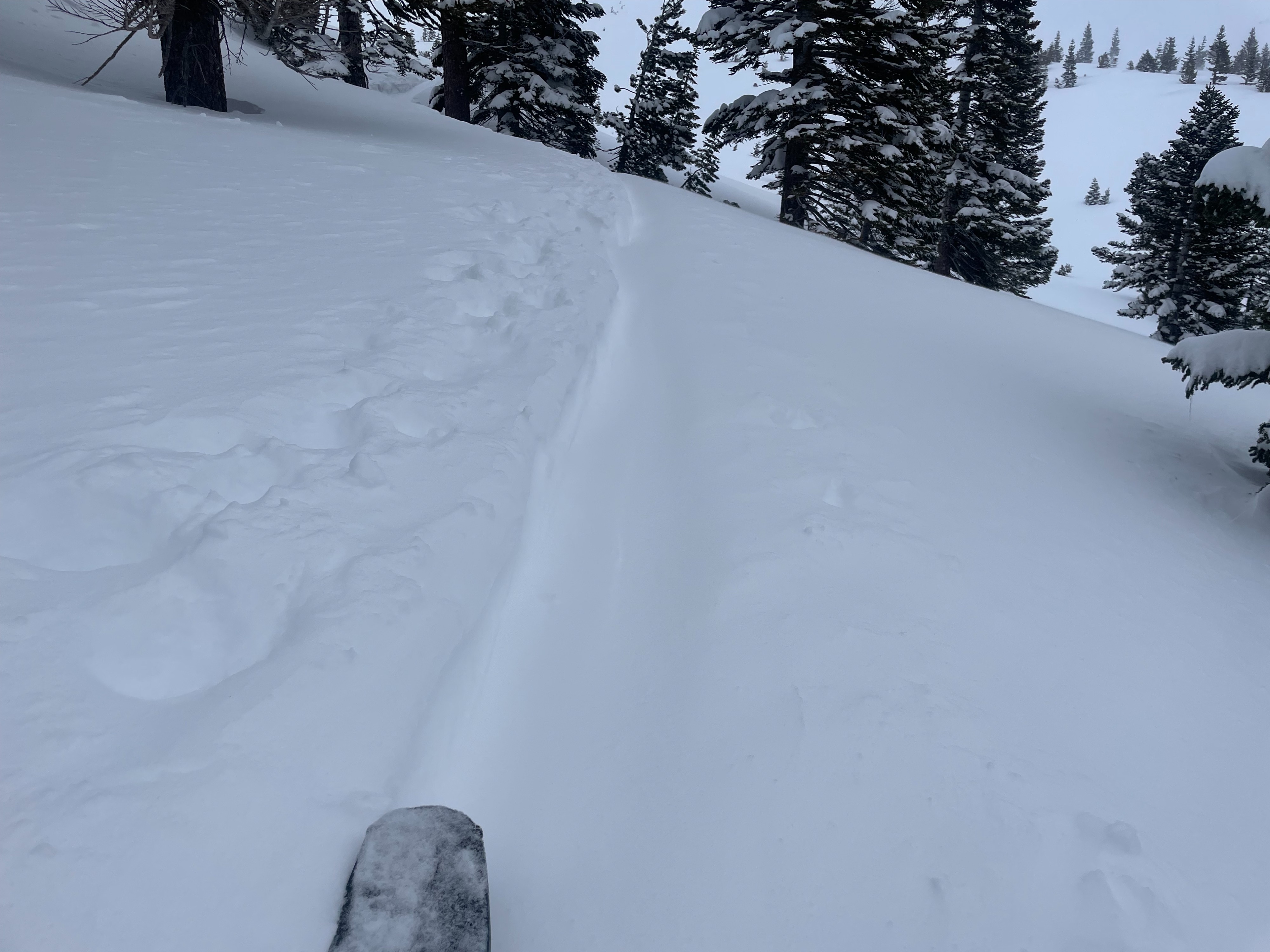
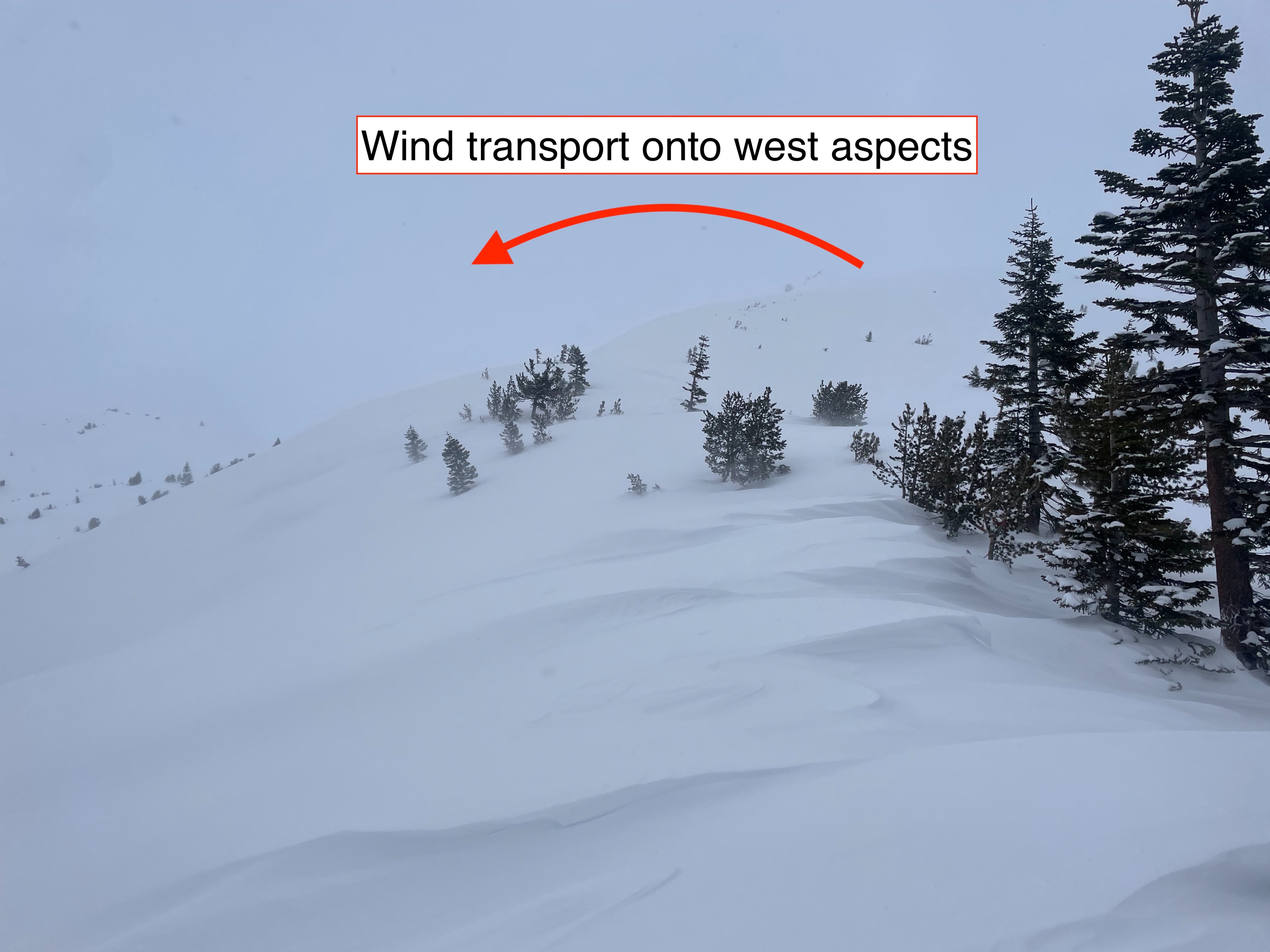
Wind slabs have been observed on westerly aspects, near and above treeline. These slabs are fairly easy to trigger with ski cuts, running quick on the loose, dry, surface snow. Based on today's observations, there is potential for large wind slab avalanches in upper level terrain where slopes are more connected. So long as the wind continues, this problem will linger.
Weather
- Air Temp
- 26
- Cloud Cover
- overcast
- Wind Loading
- moderate
- Recent Snowfall
- 15
- Snow Avail For Transport
- moderate amounts
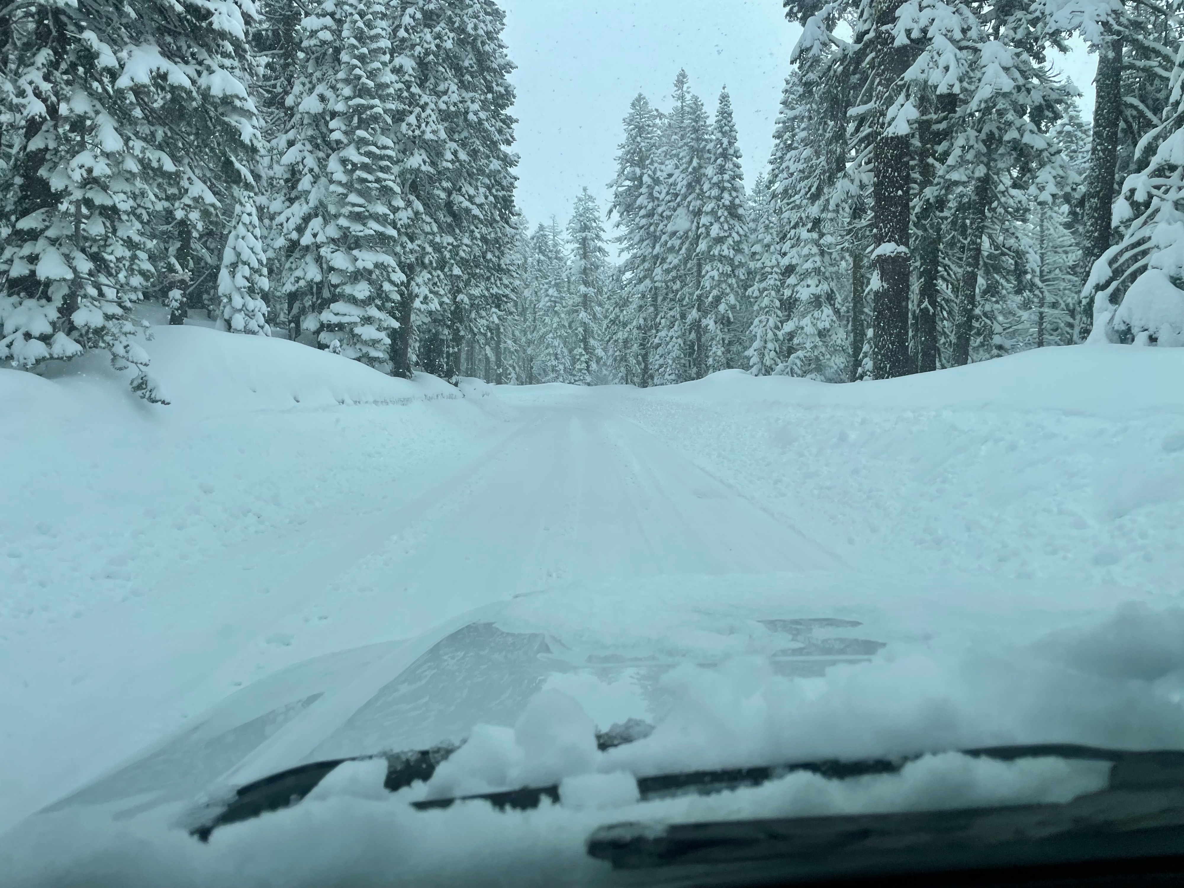
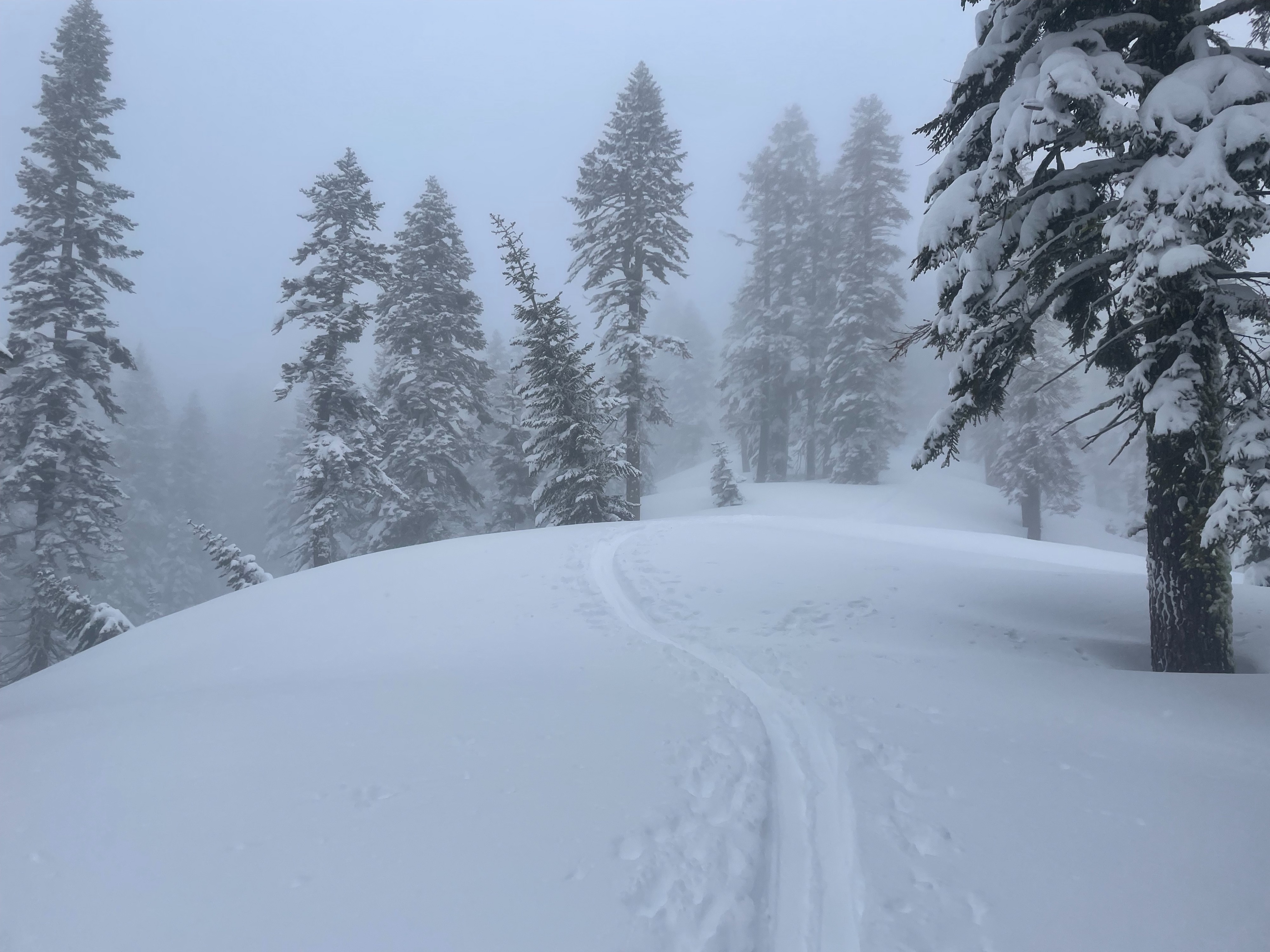
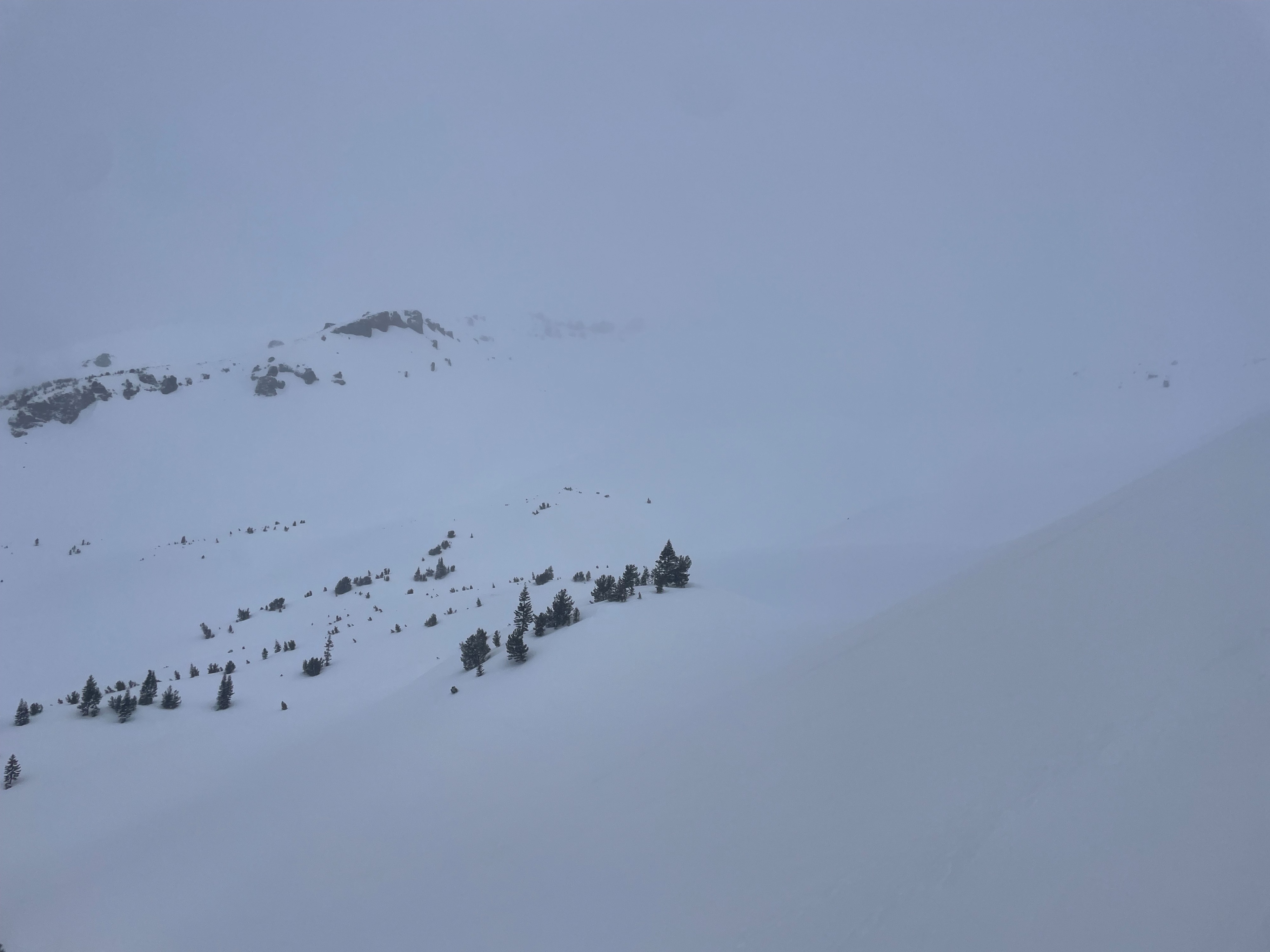
Grey, overcast, and gloomy. Upon arrival at Bunny Flat, 6 inches of fresh snow was on the ground, with more continuing to fall. The wind was mostly unnoticeable below treeline, but quickly changed to a steady light/moderate out of the east/southeast. Blowing snow was obvious at high elevation terrain. Visibility was mostly poor at all elevation bands, resulting in no views of the upper mountain (above 9,000 feet). Snow slowed and eventually ceased falling by 12. Cloud cover occasionally broke for a few minutes of sunlight, but it never lasted long.
Snowpack
Since 3/27, snowpack measurements show an average of 24 inches of new snow around Green Butte. This new snow sits on top of a very firm, old melt-freeze crust from the warm weather earlier in the week. On exposed slopes and ridgelines, snow depth is variable, ranging between 1 inch and 2.5 feet. Leeward aspects hold 1 foot deep wind drifts on top of the new snow.