
Quick report
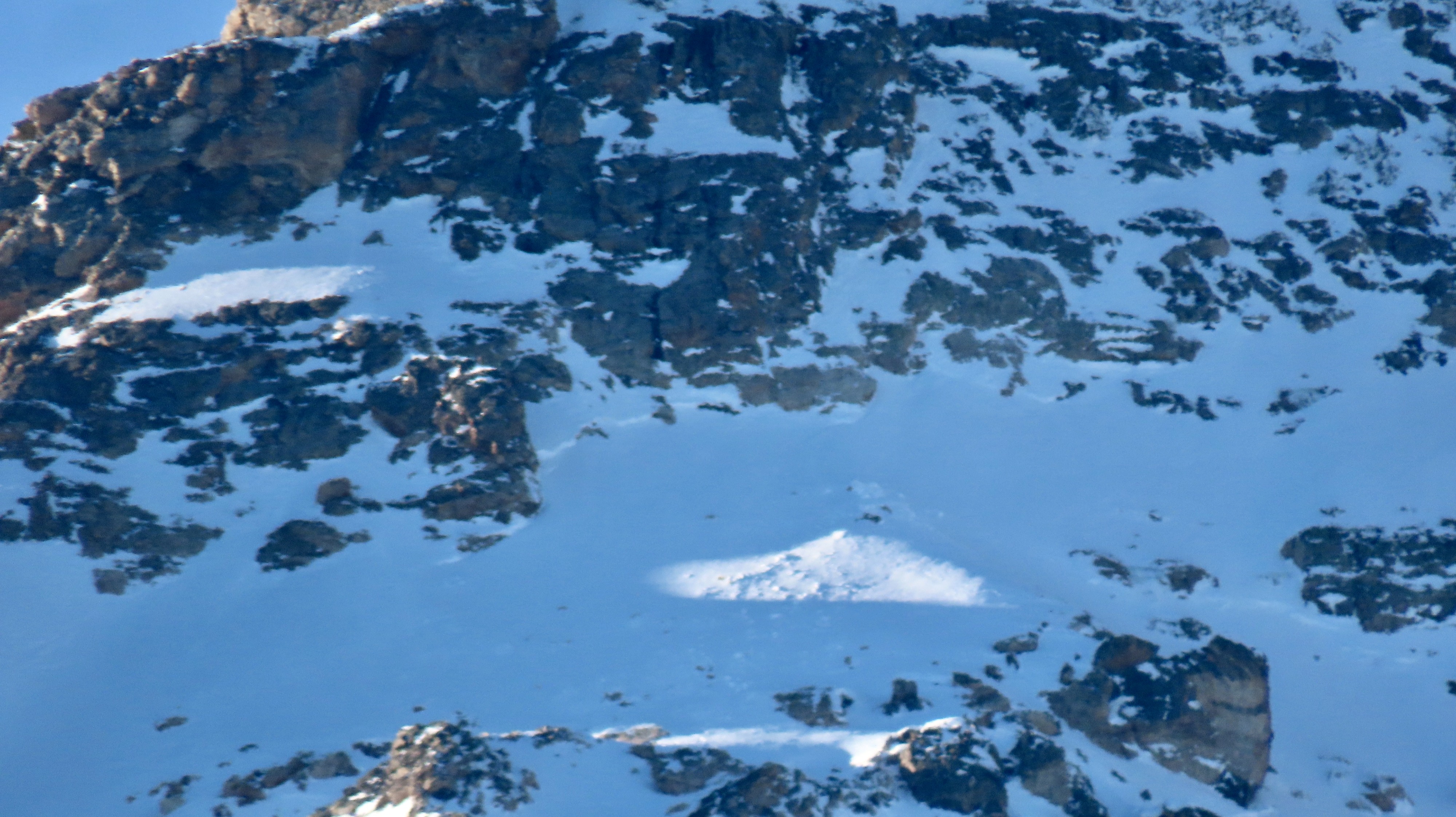
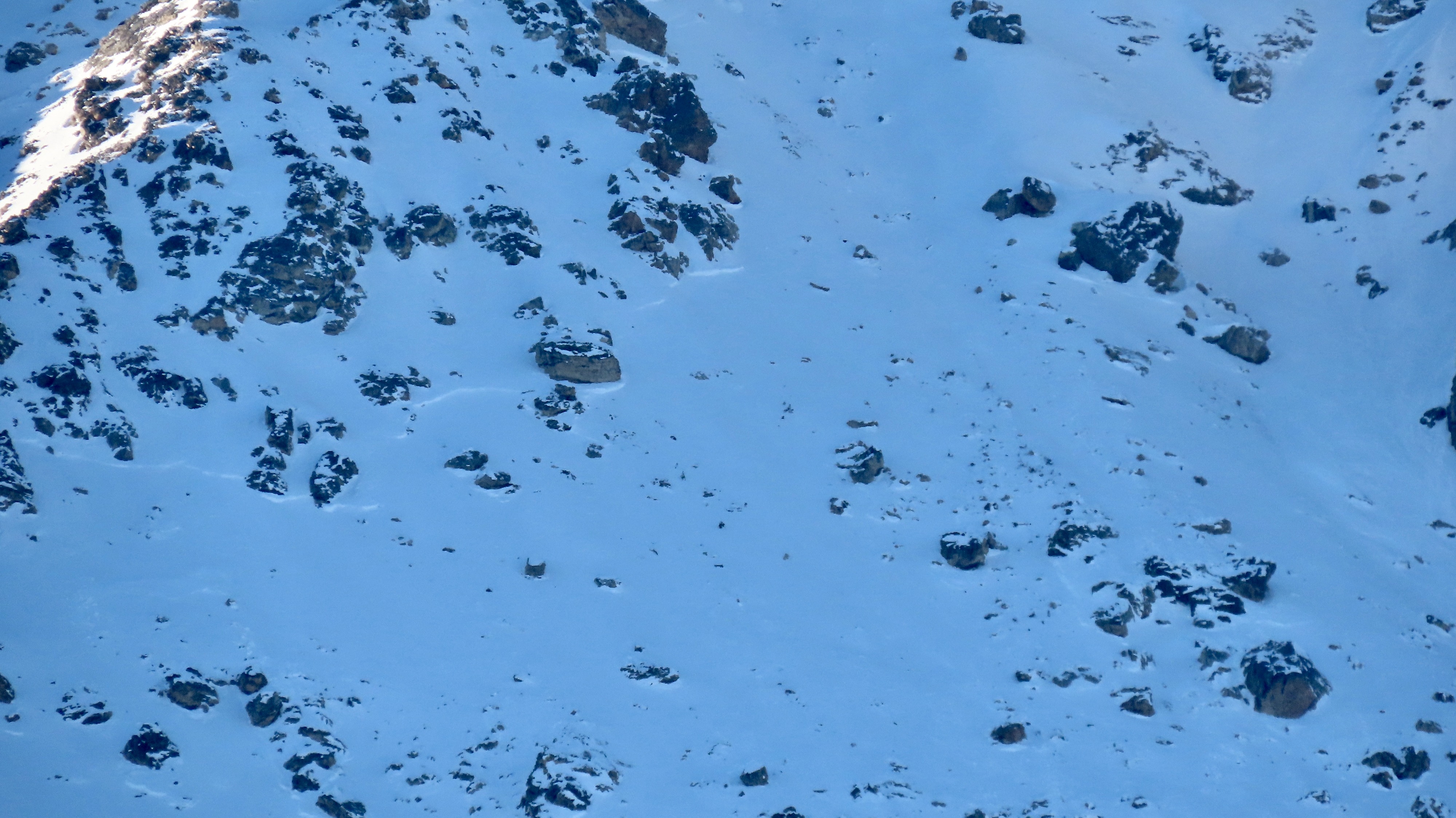
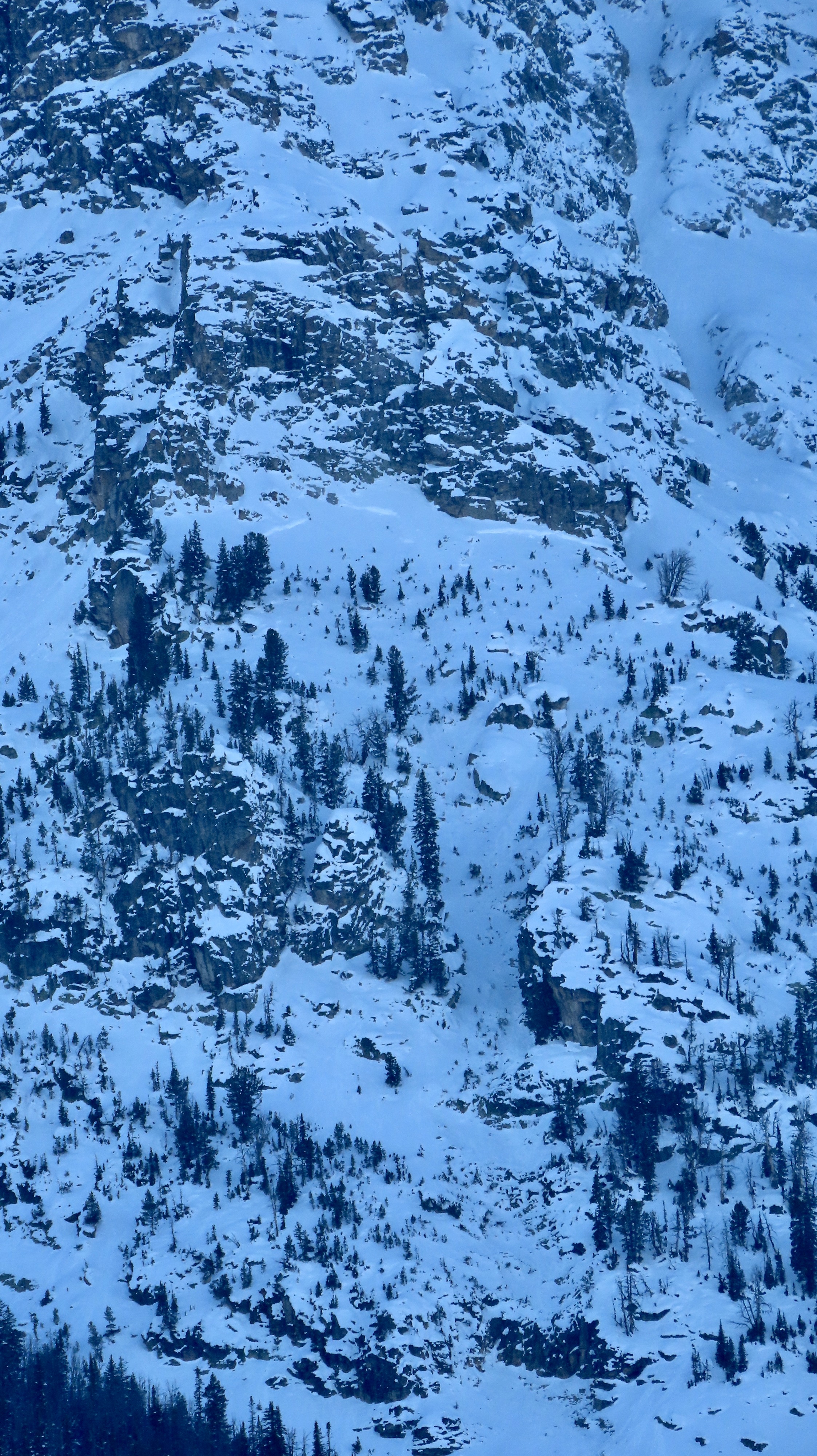
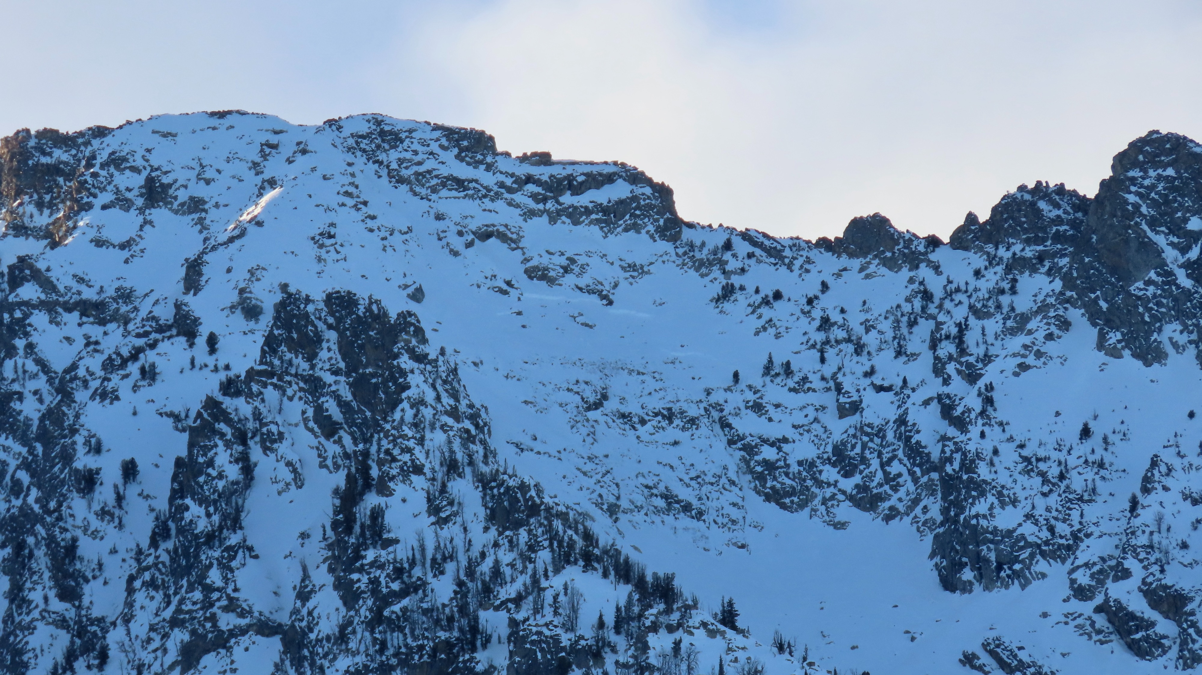
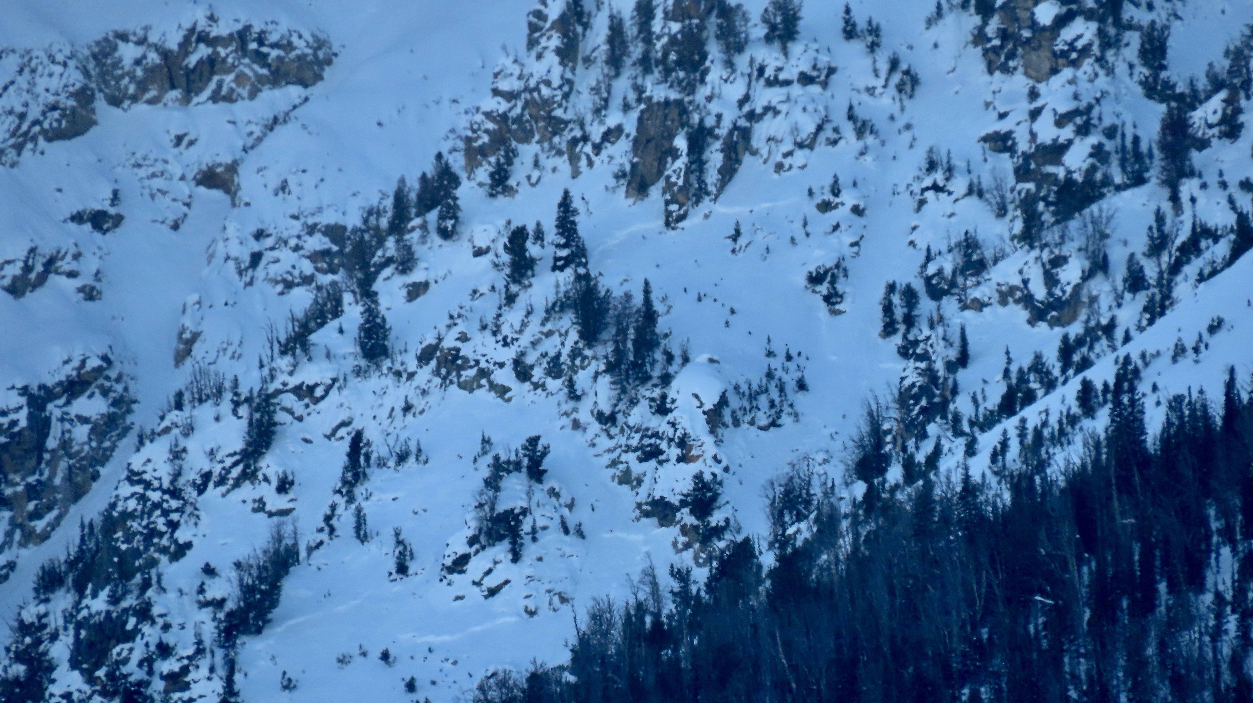
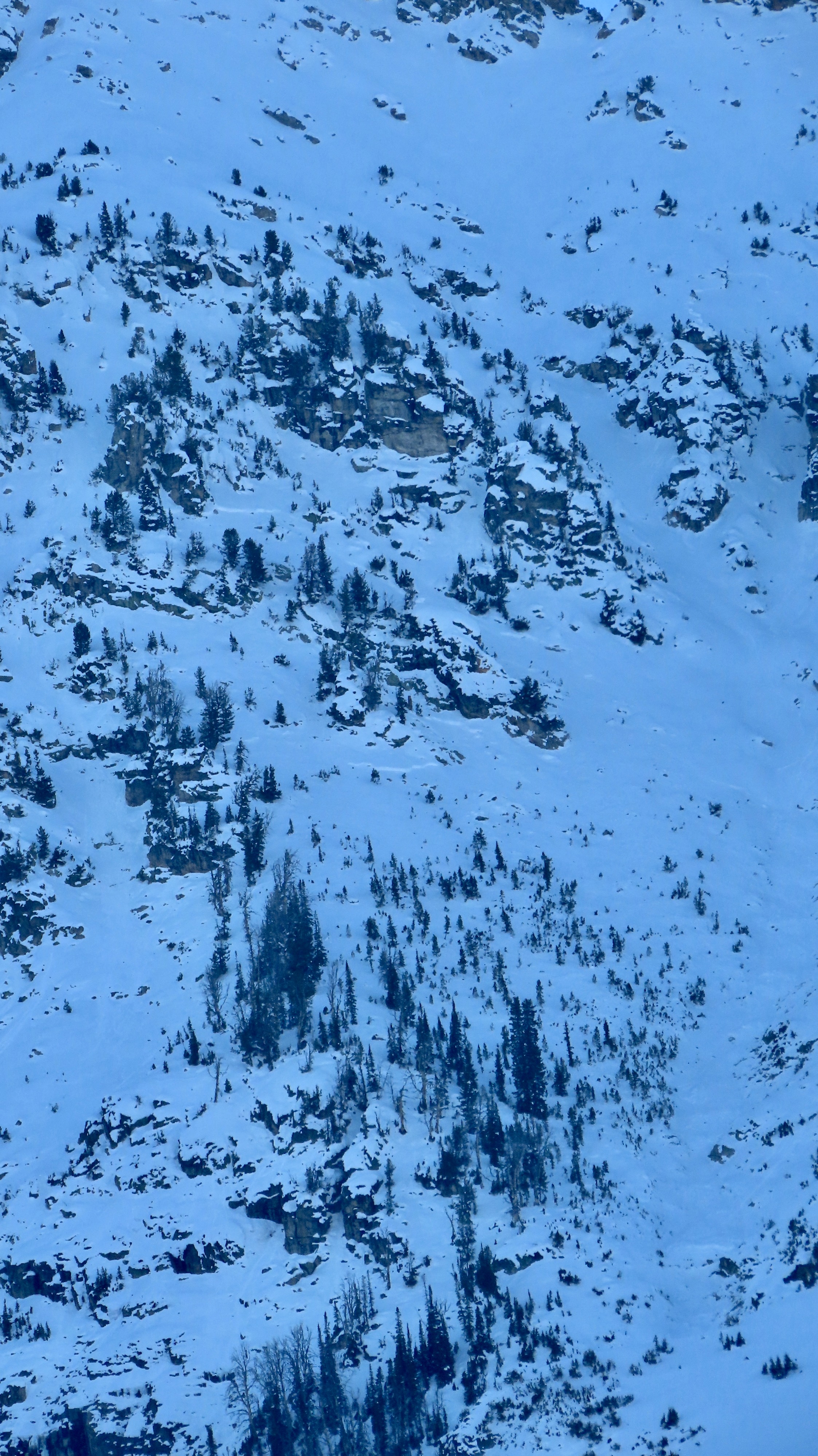
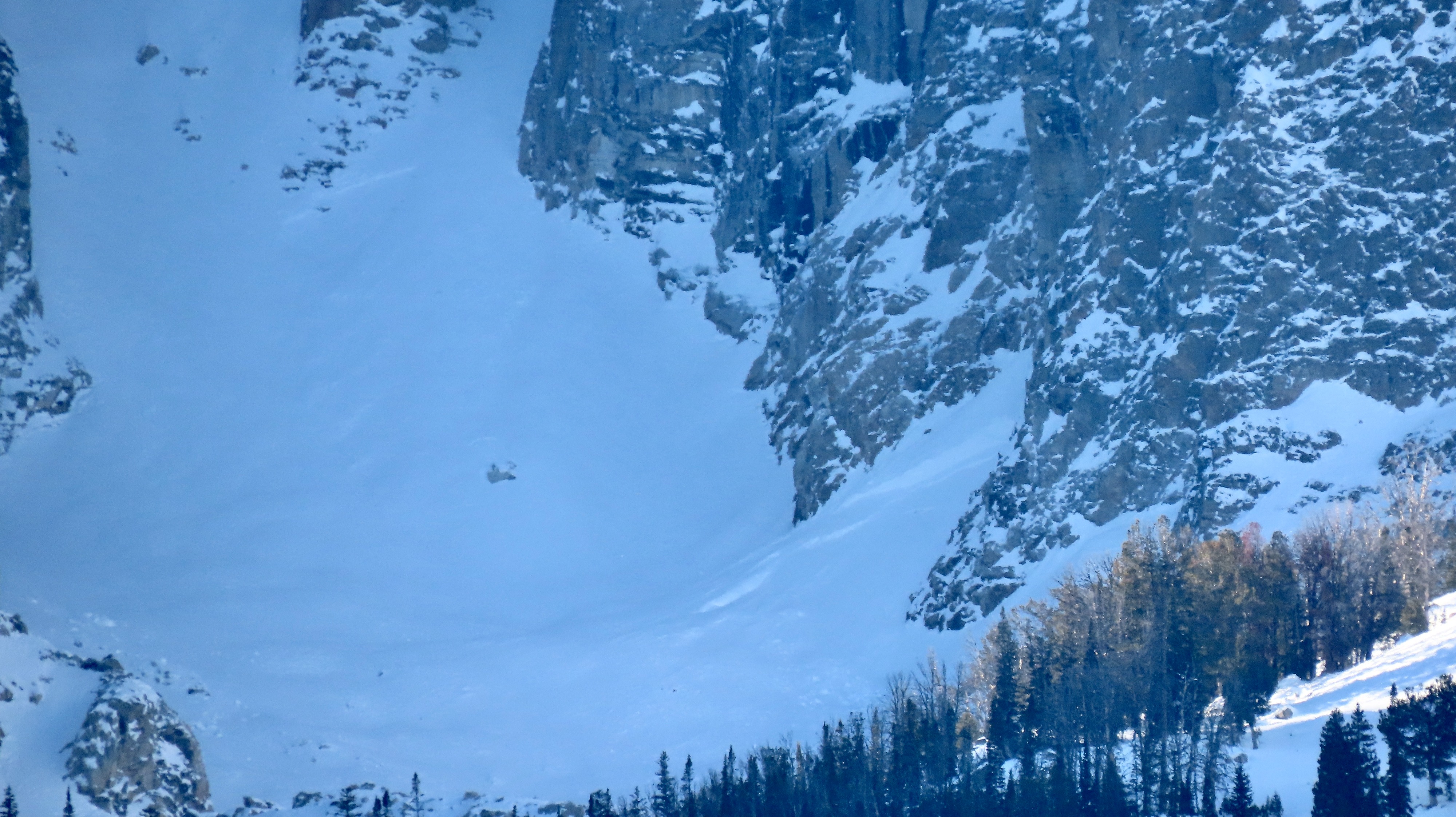
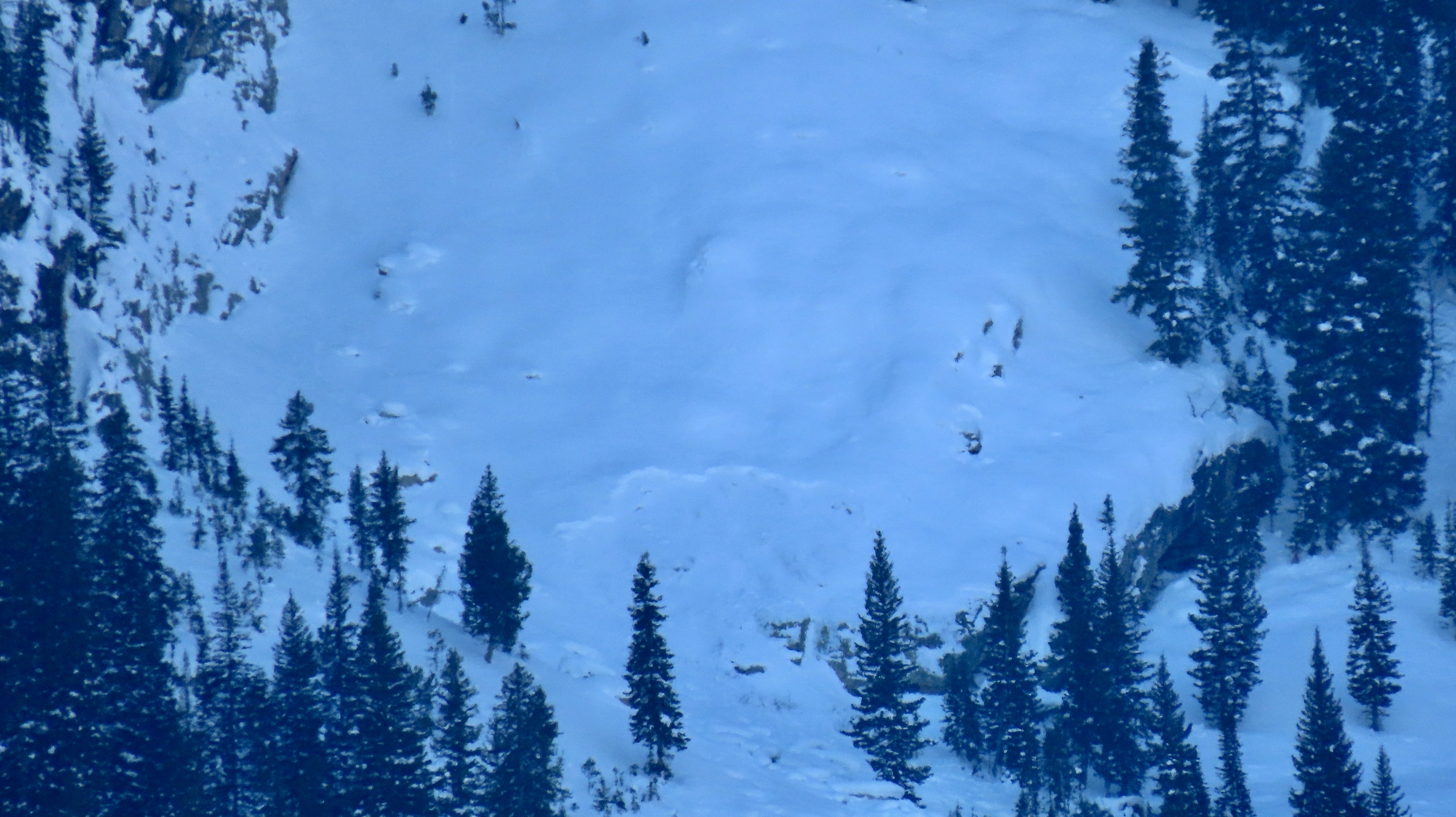
Glass of the east side of the Park while skate skiing, noted a lot of activity that likely peaked Mon/Tues.
My current hypothesis (which could be completely wrong) is that this is a reverse problem from last year in many ways. Weak snow is patchily dispersed throughout the low and middle elevations. A snowpit test is useful because it will propagate where you find this snow (likely in the medium to hard strength scores), is more prominent on the northerlies, and won't where you don't find it. The trend with these elevations will fare well if more snow continues to fall. Our early season dry spells in December included some warmer temperatures (which, under clear skies, does not strengthen the snowpack and generally will weaken the snow on most aspects); however, the low-mid cloud cover throughout these times seemed to keep things happier (less longwave dumping).
Those who frequent the upper-elevation terrain of the park should note that though we think of these areas as developing a different pattern due to constant shedding and a usually deeper snowpack, the trend might differ this season. A shallower snowpack was harbored up high for longer and was exposed to more change than anywhere else. Cloud cover in the low-mids persisted longer during the period that created the reactive layer we're seeing, while skies were clear higher, driving more rapid change. Where this problem persists in the low-middle elevations, it will be patchy and less predictable spatially but probably ebb more predictably temporally. Upper-elevation terrain may harbor a bit more widespread of a problem for longer.
Avalanche
- Size
- D1 R1
- Count
- 4
- Aspect
- E
- Trigger
- N
- Elevation
- 8000 ft
Noted additional blown-in avs on Buck, the E face of the Grand, Owen, and others.