
Quick report
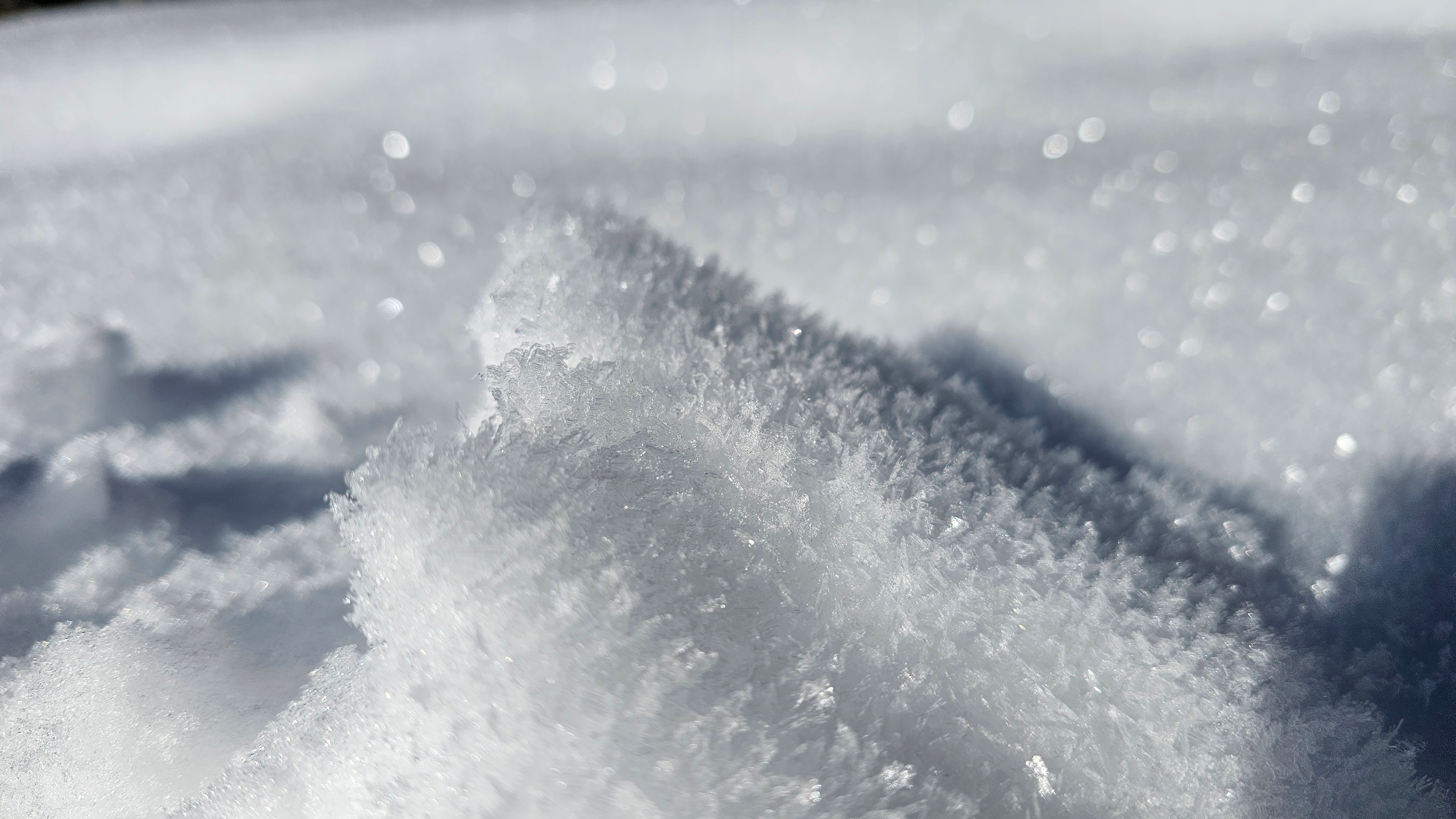
As far as avalanches go, we did not observe any signs of instability. The biggest hazard is the shallow snowpack that barely disguises sticks and rocks. Moving forward I am going to be keeping a keen eye on what the snow surface does before more snow rolls in. Todays surface could be Decembers weak layer.
Weather
- Cloud Cover
- scattered
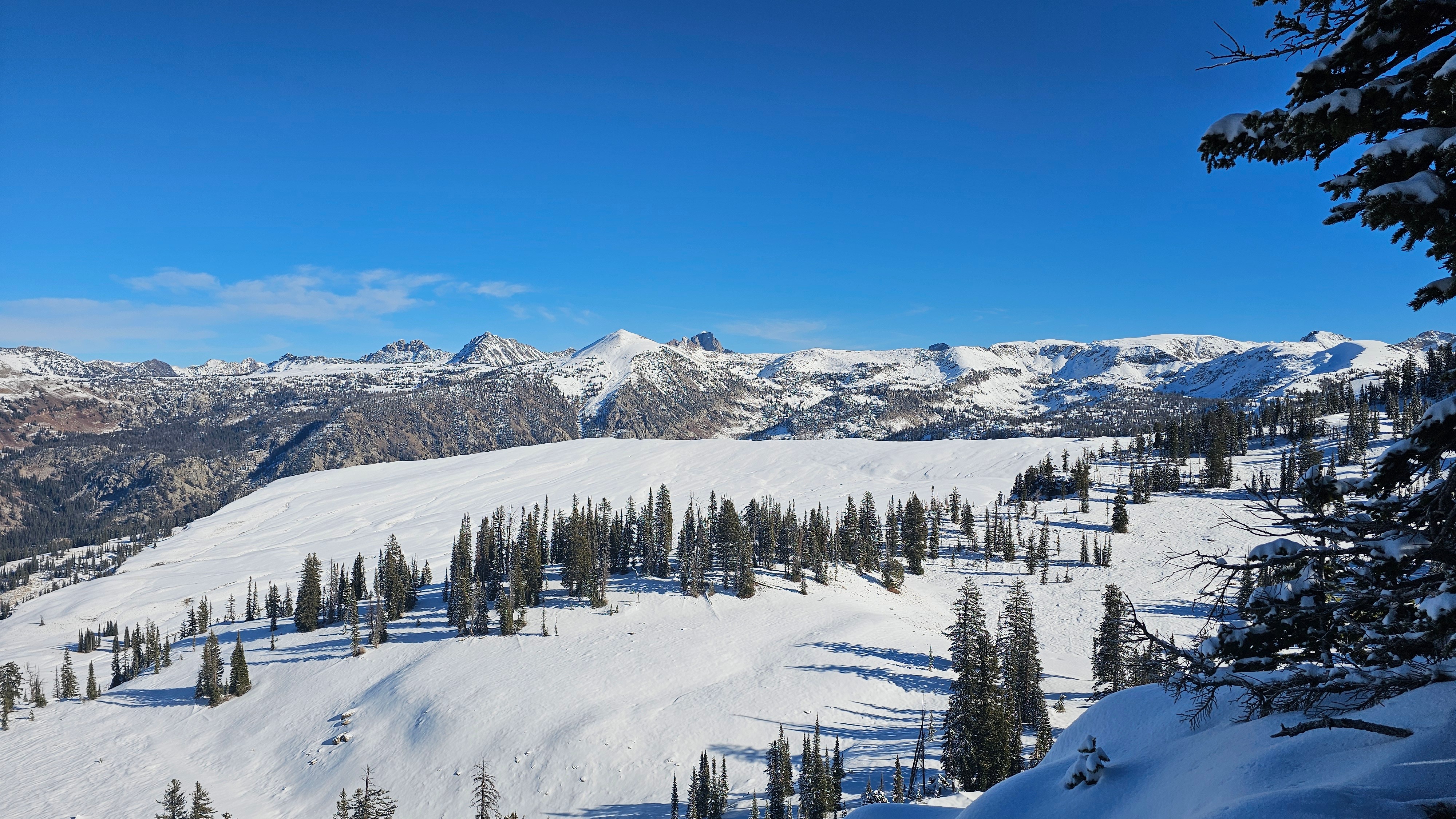
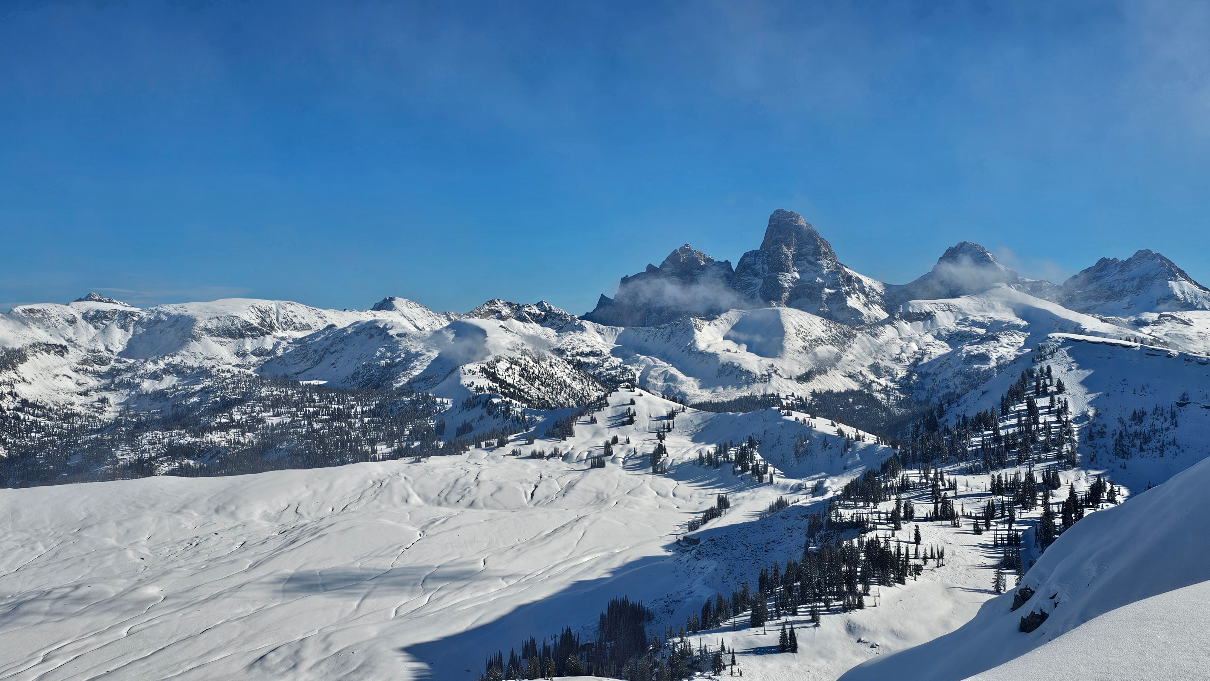
Clouds were moving in and out around 10,000' with generally clear skies above 10k. Winds were light from the west, there was not precipitation. The sun was keeping us warm, but you could really feel the cold in the shade.
Snowpack
We dug a snow profile on a north facing slope aound 9500' (first two photos . In this location, we noted a snowpack of 20–30" in upper-elevation shaded terrain. The snow surface is weakening from the cold, clear nights, with developed surface hoar on top across all aspects at mid and upper elevations (anywhere there is snow). Below the snow surface is a mix of generally moist old snow and crusts. For those testing some ski turns, the crusts seem supportable. At one point, I believe a lot of the looser snow were facets, but the warm temps from last week have left a lot of residual moisture all the way to the ground. Hopefully, this snow will harden when colder temps return.
We dug a second pit on a west facing slope at 9500'. Here we found a similar snowpack, just with a little bit shallower height of snow. Still weak snow on top, crusts in the middle, and moiste snow at the ground.