
Quick report
- Collapsing
- isolated
We rode from Mosquito Creek trail head (6200') to Mud Pass (9000'). Saturated snow to start the day and widespread runnels from rain and meltwater up to 7500'. At around 8000', snow surfaces were a little drier but still moist. In general, new snow has a high density, high moisture content and was blown around by the wind during the storm, all contributing to a slab that is up to 4 finger + density sitting on a variety of weak surfaces as the 1/31 interface.
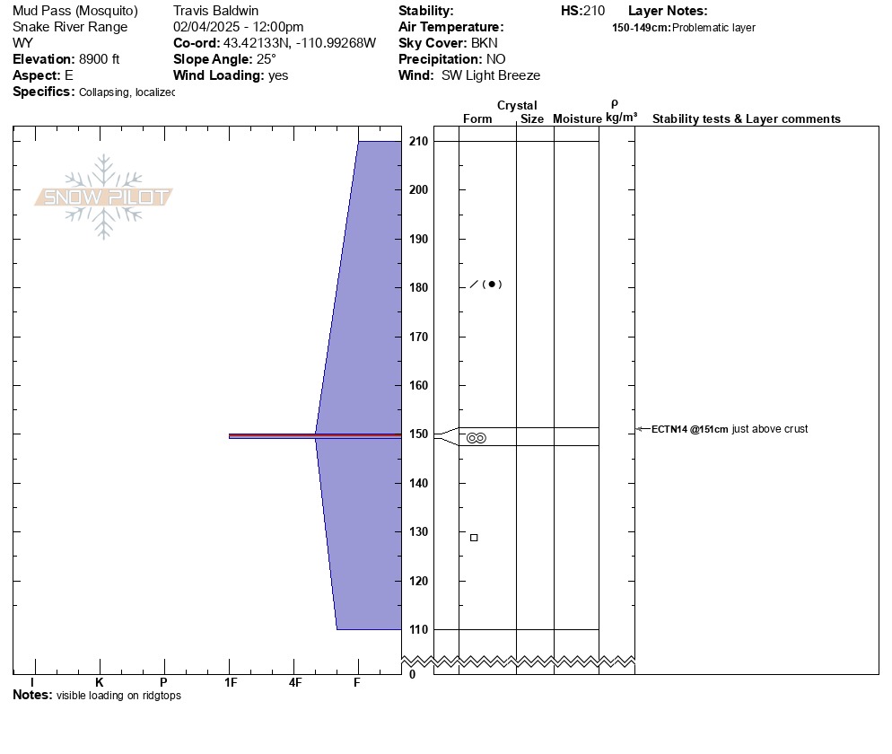
We dug a pit at 8900 feet on an east aspect. At this location, HST was 24 inches (60 cm) and was sitting on a decomposing crust. This is the interface that was most reactive. We got an ECTN14 x 2 on top of the crust in near surface facets. Just below this crust was a thick layer (25cm) of near-surface facets from the cold dry weather at the end of January.
Several avalanches observed, see below. Collapsing when walking to the pit site.Weather
- Air Temp
- 56 F at Trailhead in the afternoon
- Cloud Cover
- broken
- Wind Loading
- moderate
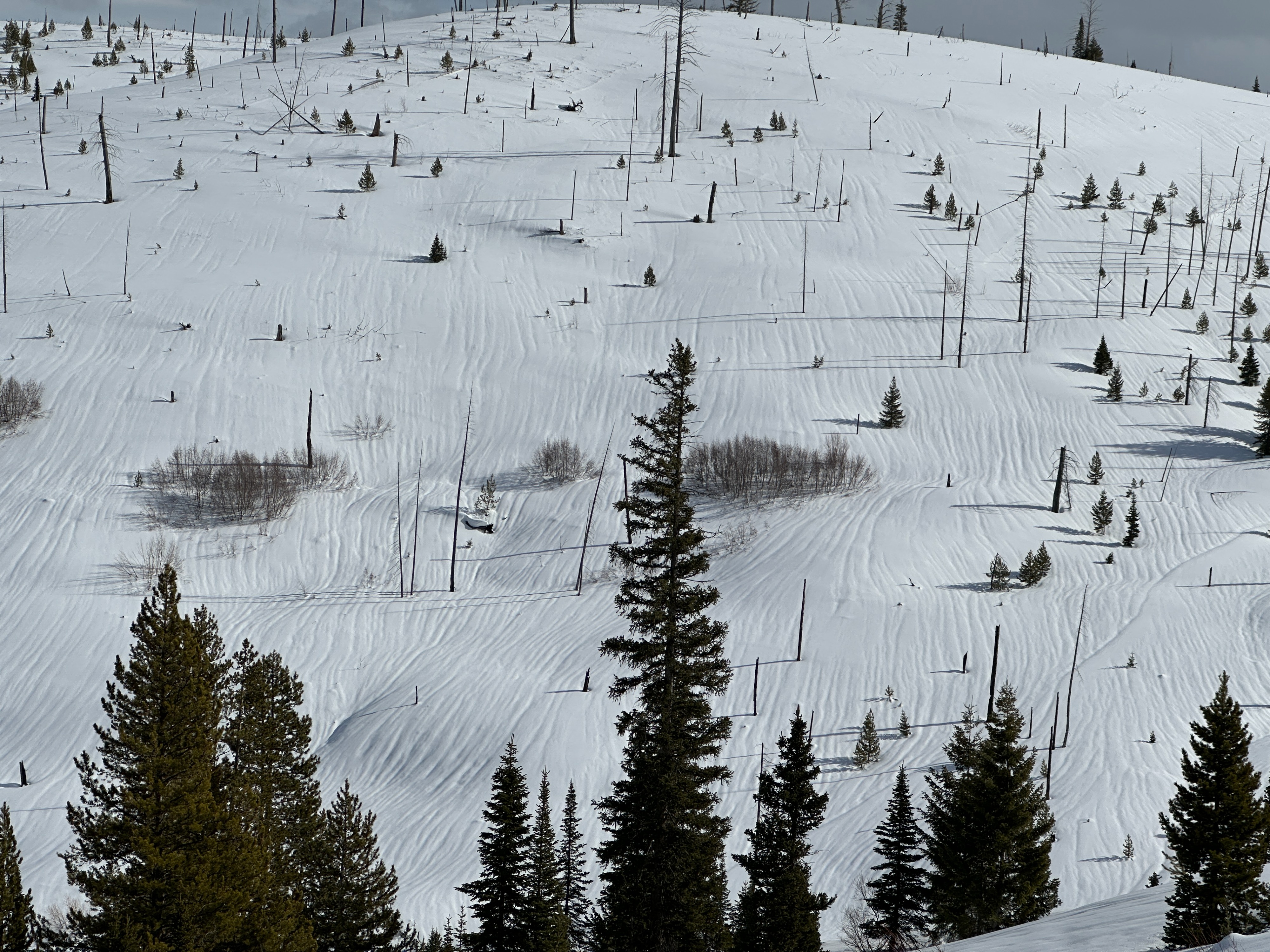
Mostly cloudy to start but clearing trend into early afternoon. Warm temps. Visibile wind loading on ridgelines.
Avalanche
- Size
- D1 R1
- Type
- SS
- Count
- 3
- Aspect
- E
- Trigger
- N
- Elevation
- 7900 ft
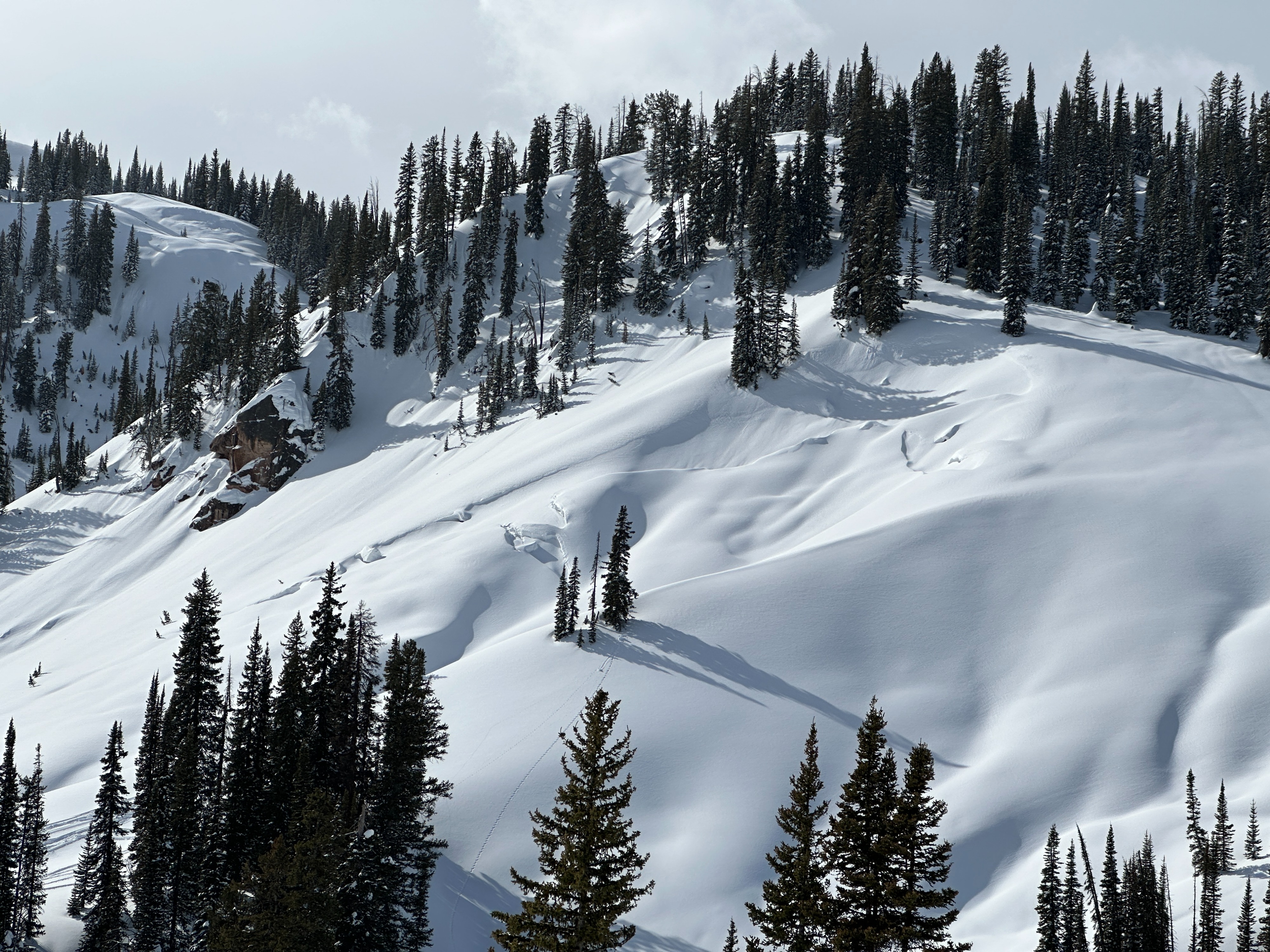
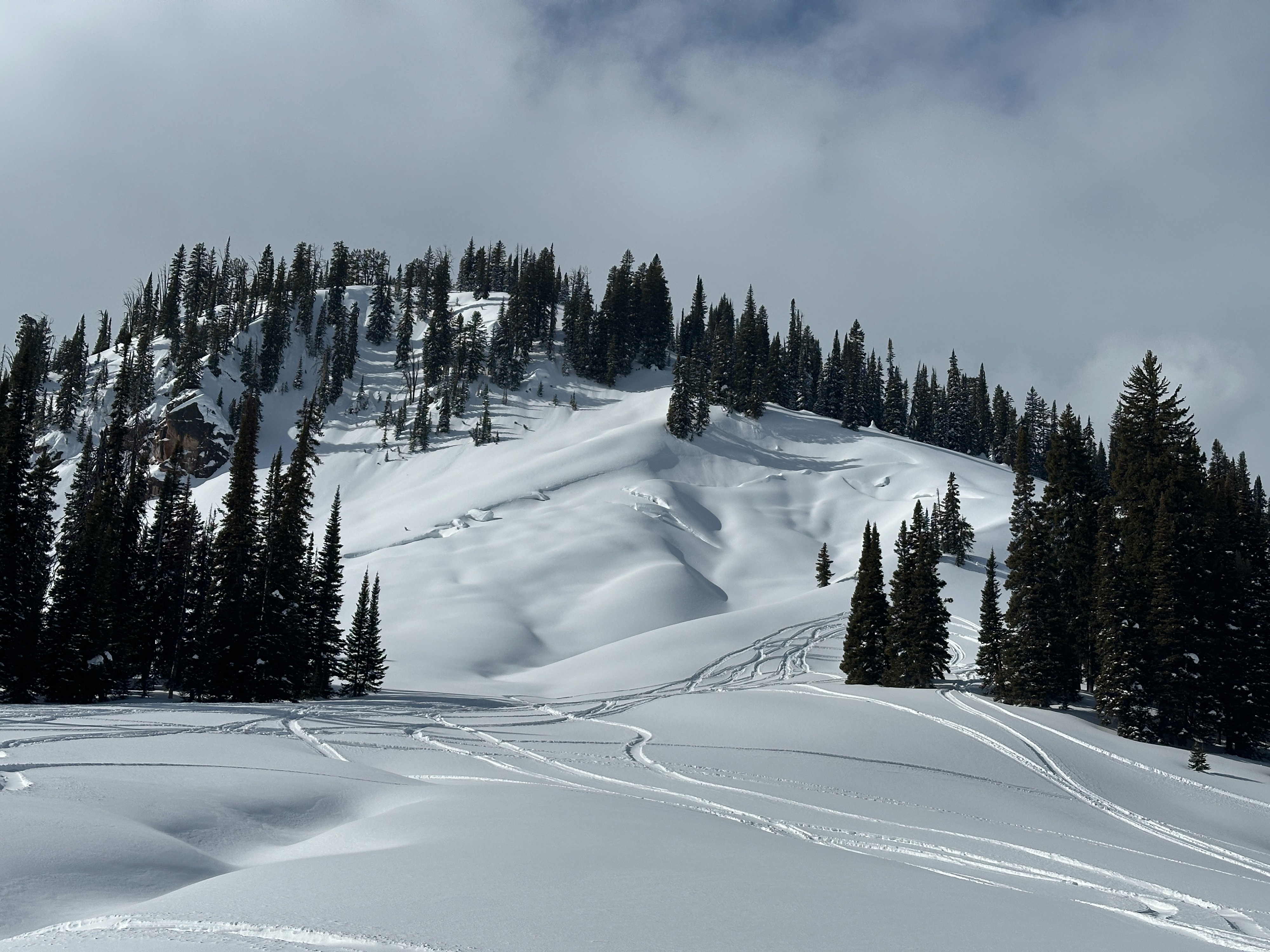
We observed a few different avalanches as we traveled to the Mud Pass. Multiple wind slabs avalanches were visible along slopes generally facing east. The wind slabs all seem to have failed within the new snow. We also noted additional avalanches on mid-elevation terrain that released mid-slope. These avalanches also appeared to fail somewhere within the recent snow indicating some instability - likely a density change - exists within the upper snowpack. The glide crack on Smoky Hollow Peak has grown large and while it might not meet the criteria for an avalanche, it's certainly interesting to note.