
Quick report
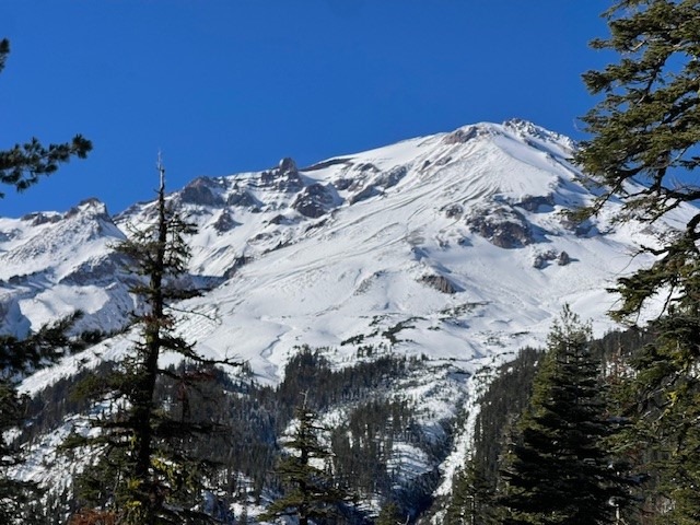
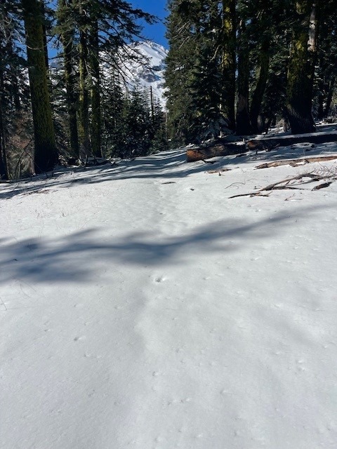
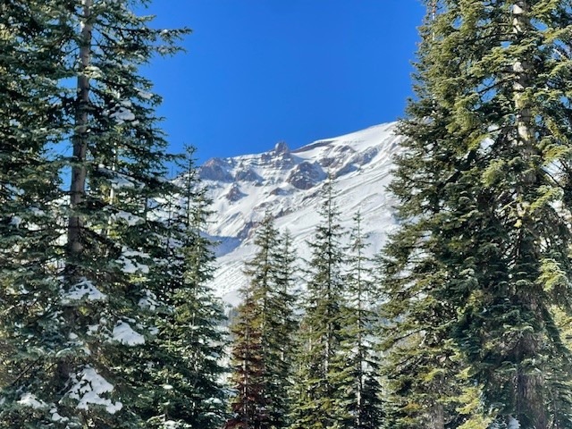
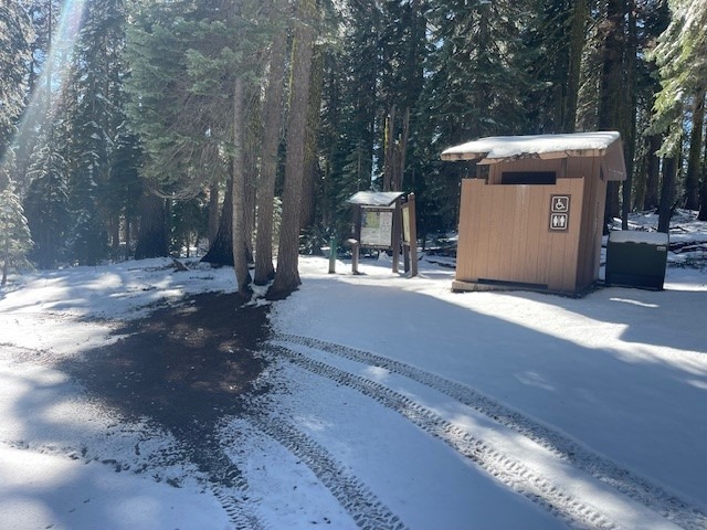
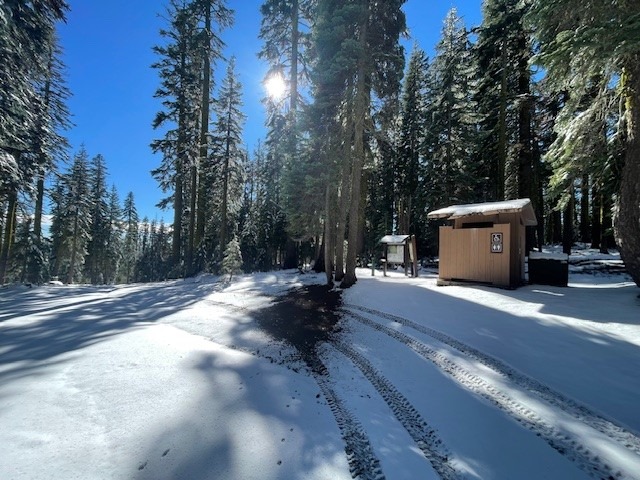
The Clear Creek route is no longer hosting dry, friendly, summer conditions. Snow begins from the trailhead. A 4x4 is absolutely necessary to get to the trailhead. The last few miles of road are in poor shape and snow covered by a couple inches.
Despite a shallow snowpack, expect full winter conditions on this route. This means an ice axe, crampons and helmet, snowshoes or other means of soft snow travel. We have closed the trailhead for the season. You may still access, but all necessary paperwork (summit pass and wilderness permit) must be attained at the McCloud or Mt Shasta Ranger Stations, self serve kiosk out front, avail 24/7. The bathrooms at the Clear Creek trailhead are open, and wag bags are available inside.
In our opinion however, a climb of this route would not be enjoyable right now. Safe to say, it's the worst time of year to climb Mt Shasta. Let the snowpack pile up and start thinking about skiing, not foot walking in slippery, loose rocks and snow (a million opportunities for a twisted ankle, slips and falls). If you must climb this particular route right now, call us so we can talk you into something more reasonable and fun!
Weather
- Cloud Cover
- clear
- Wind Loading
- light
- Rain Elevation
- 5500
- Recent Snowfall
- 4-8 inches
- Snow Avail For Transport
- moderate amounts
Clear, sunny, calm
Snowpack
Two waves of weather impacted the mountains of south Siskiyou County this past weekend, 10.25 and 10.26.
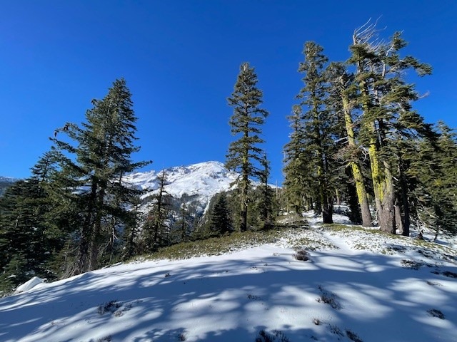
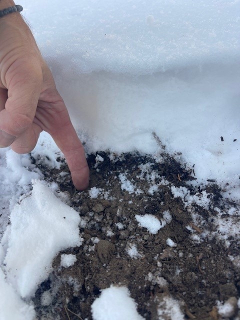
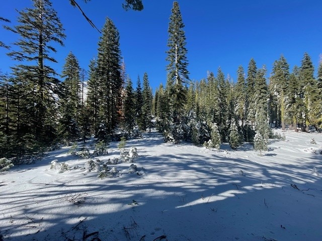
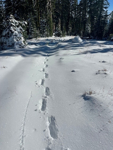
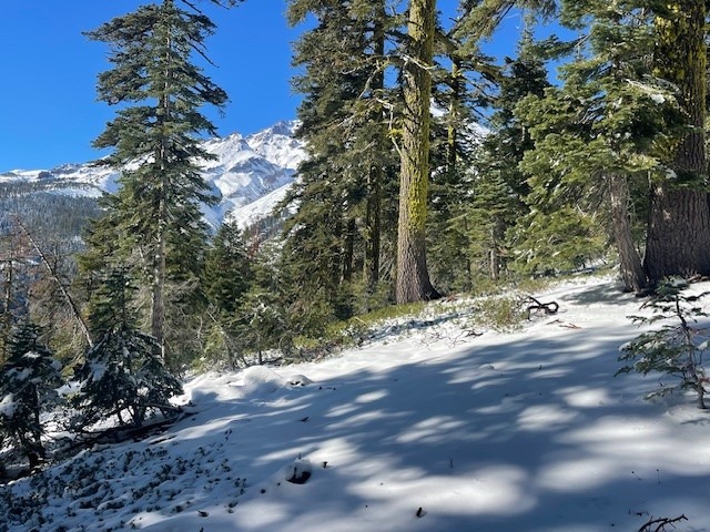
Below treeline on the Clear Creek route, 4-8 inches of snow was measured near 7,500 feet. South facing slopes are already settling and melting quickly. Northerly facing, shaded areas are holding.
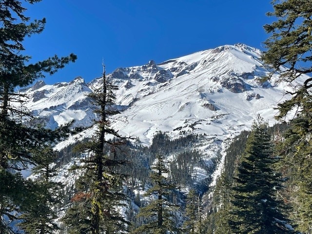
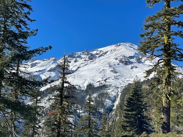
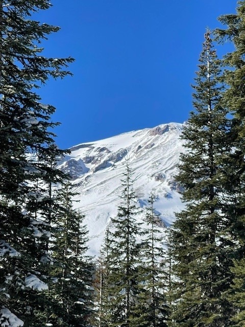
No avalanches or signs of instability were observed, but some start zones have smooth snow coverage up higher on the mountain.
Snow observed down to 5,500 feet, but not really measureable until ~6,500.