
Quick report
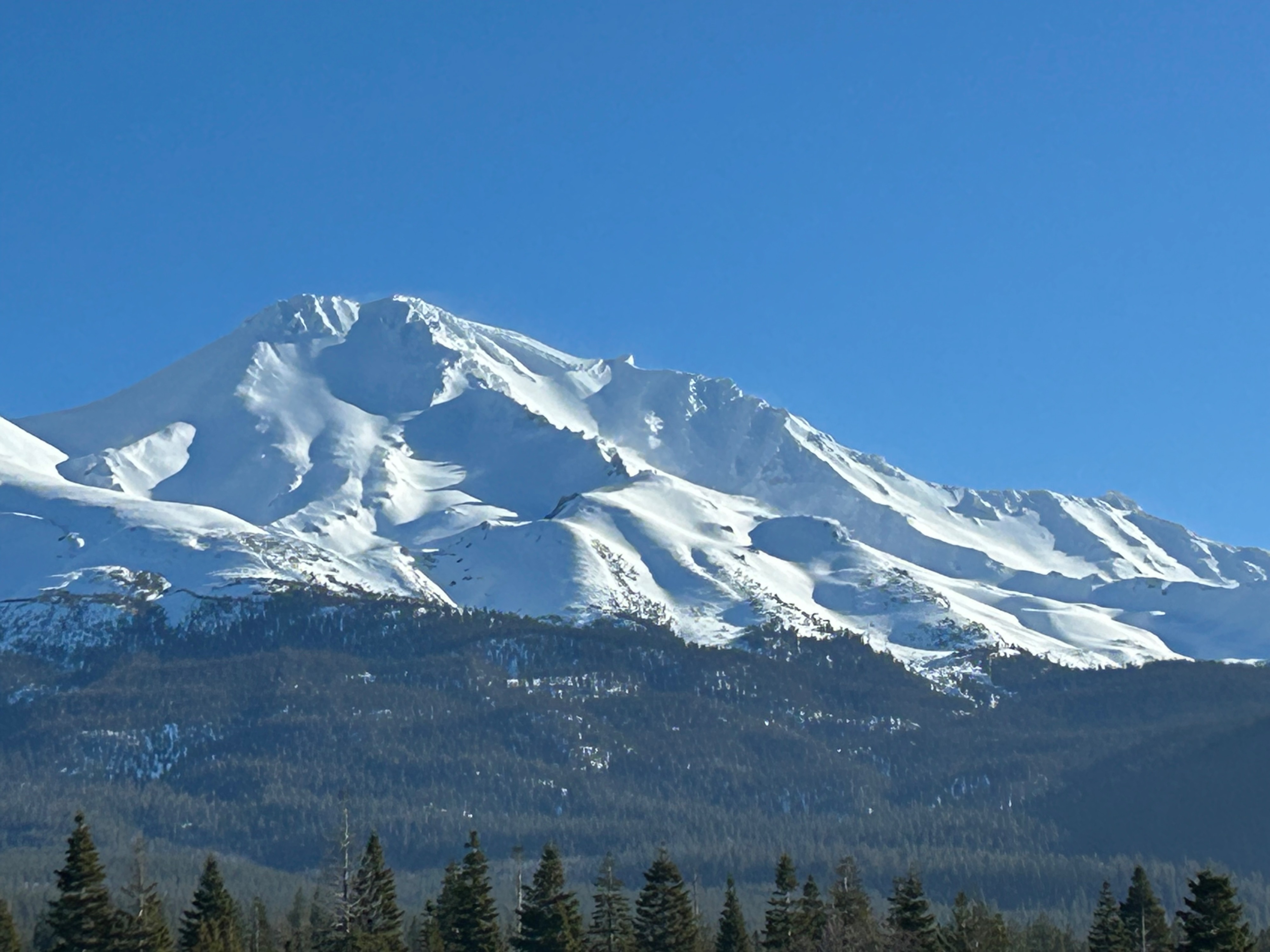
With the clear weather, my goal was to venture above treeline and evaluate snow conditions from the previous three days of stormy weather.
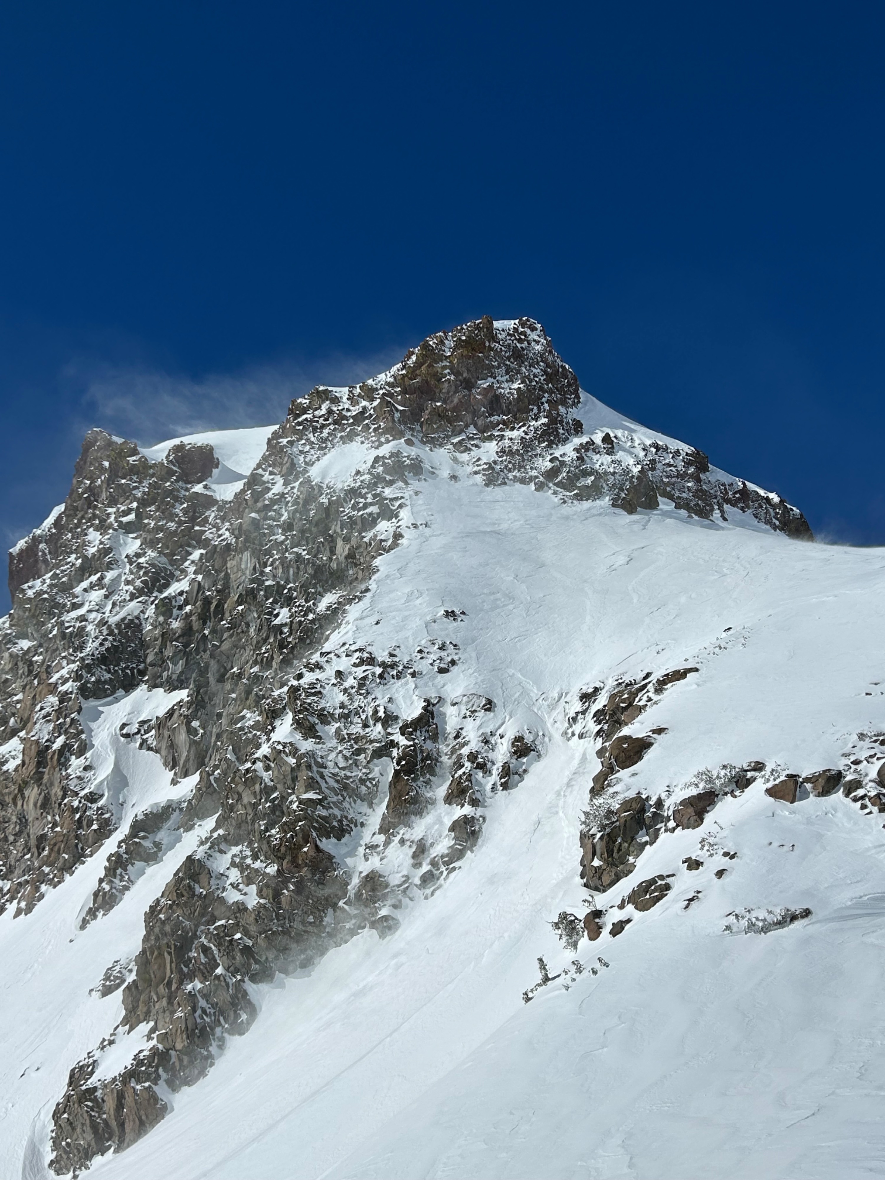
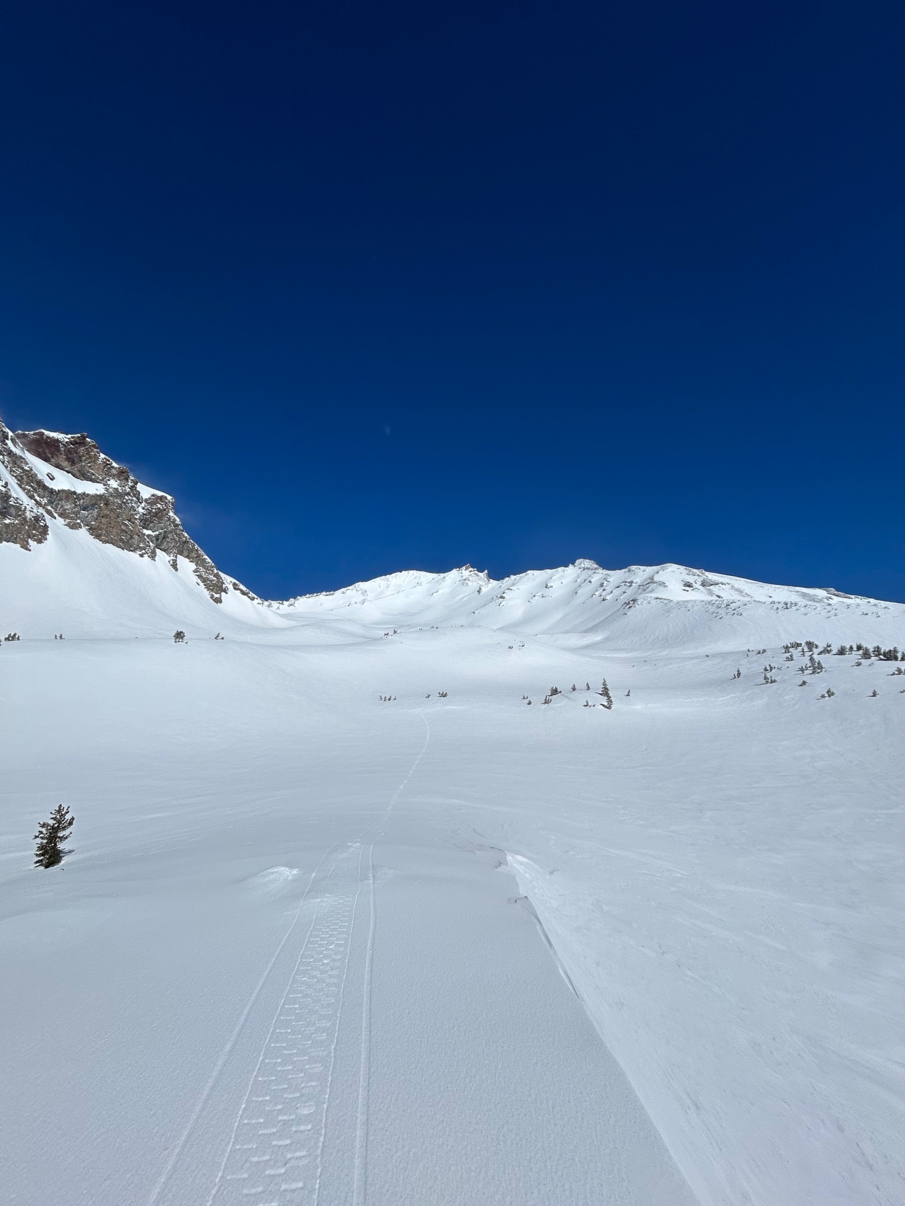
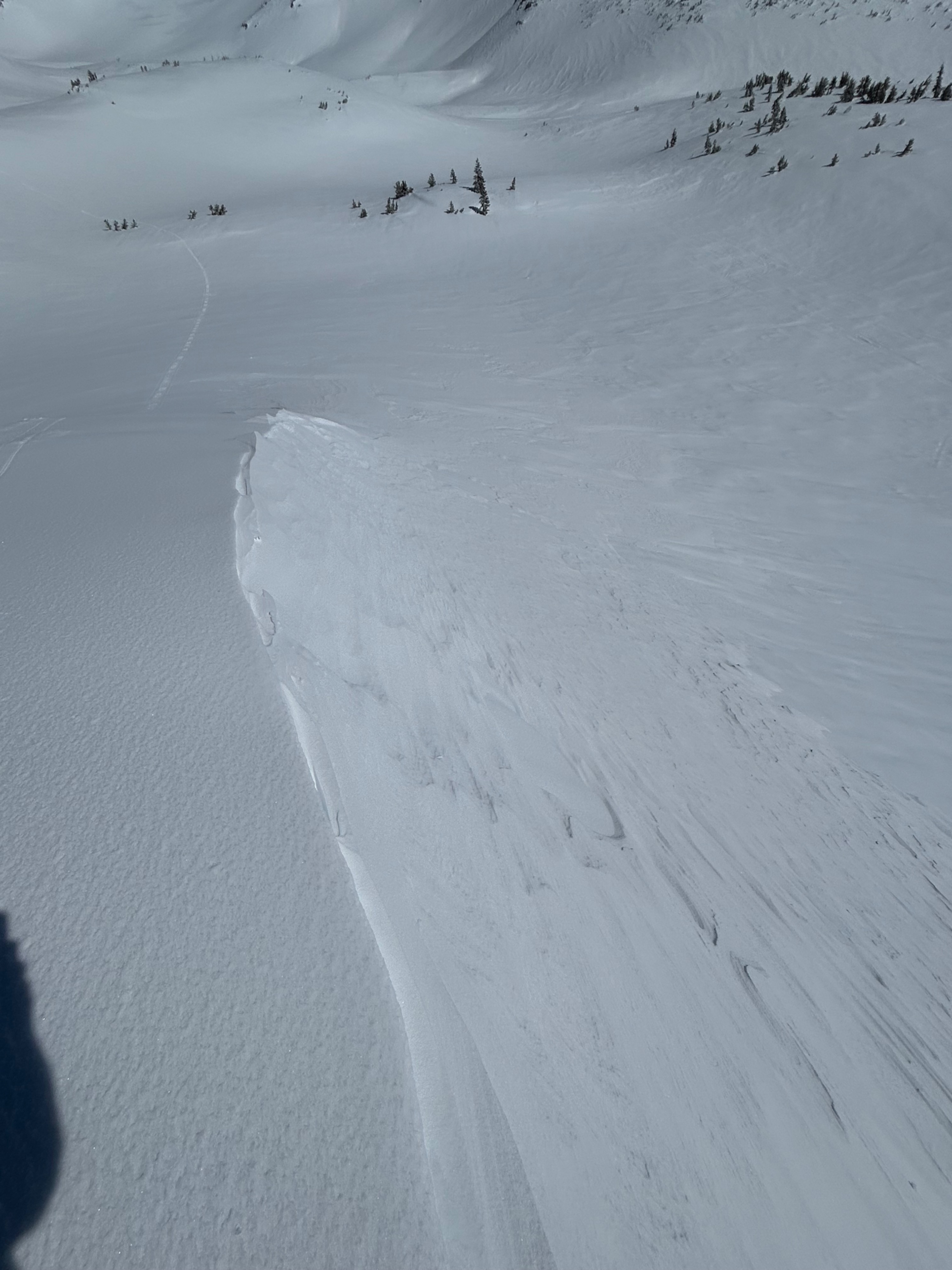
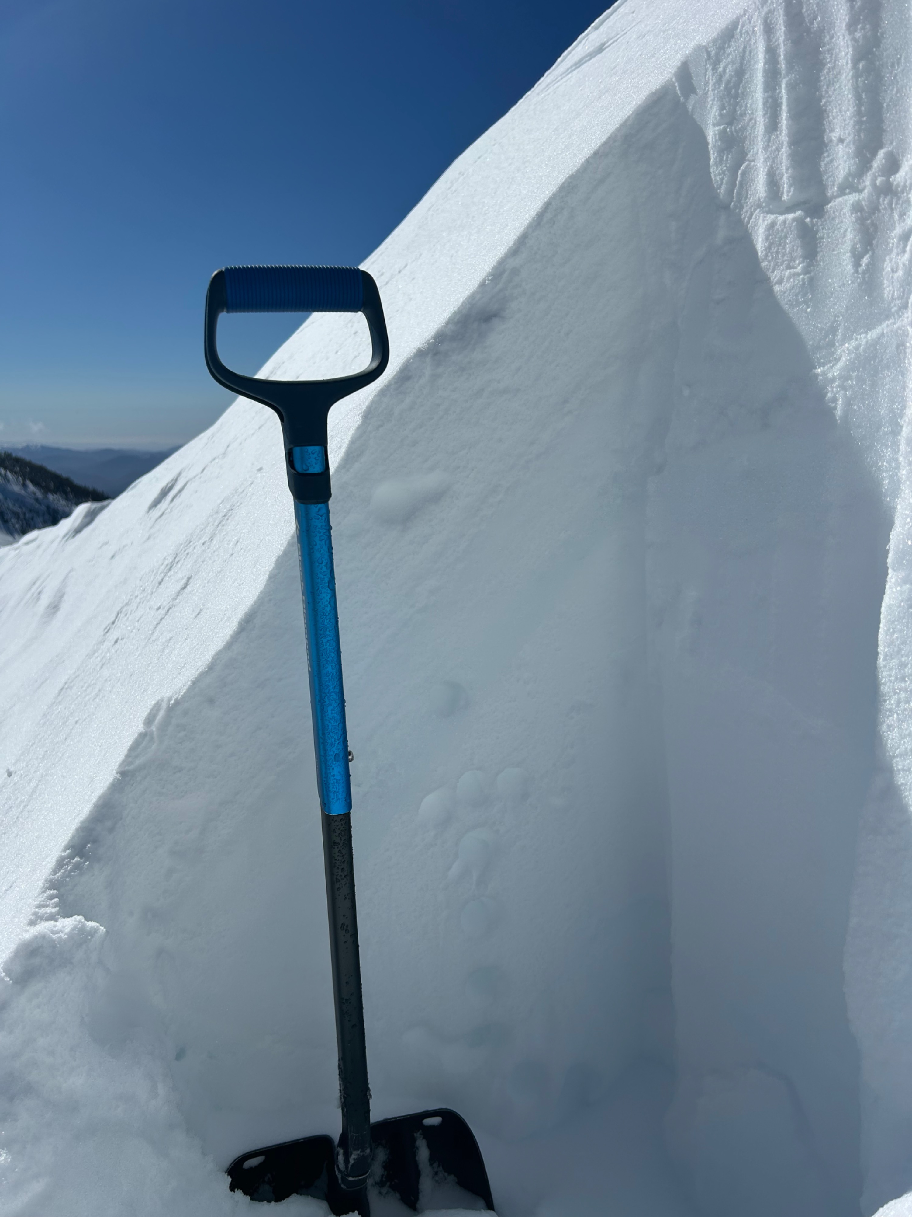
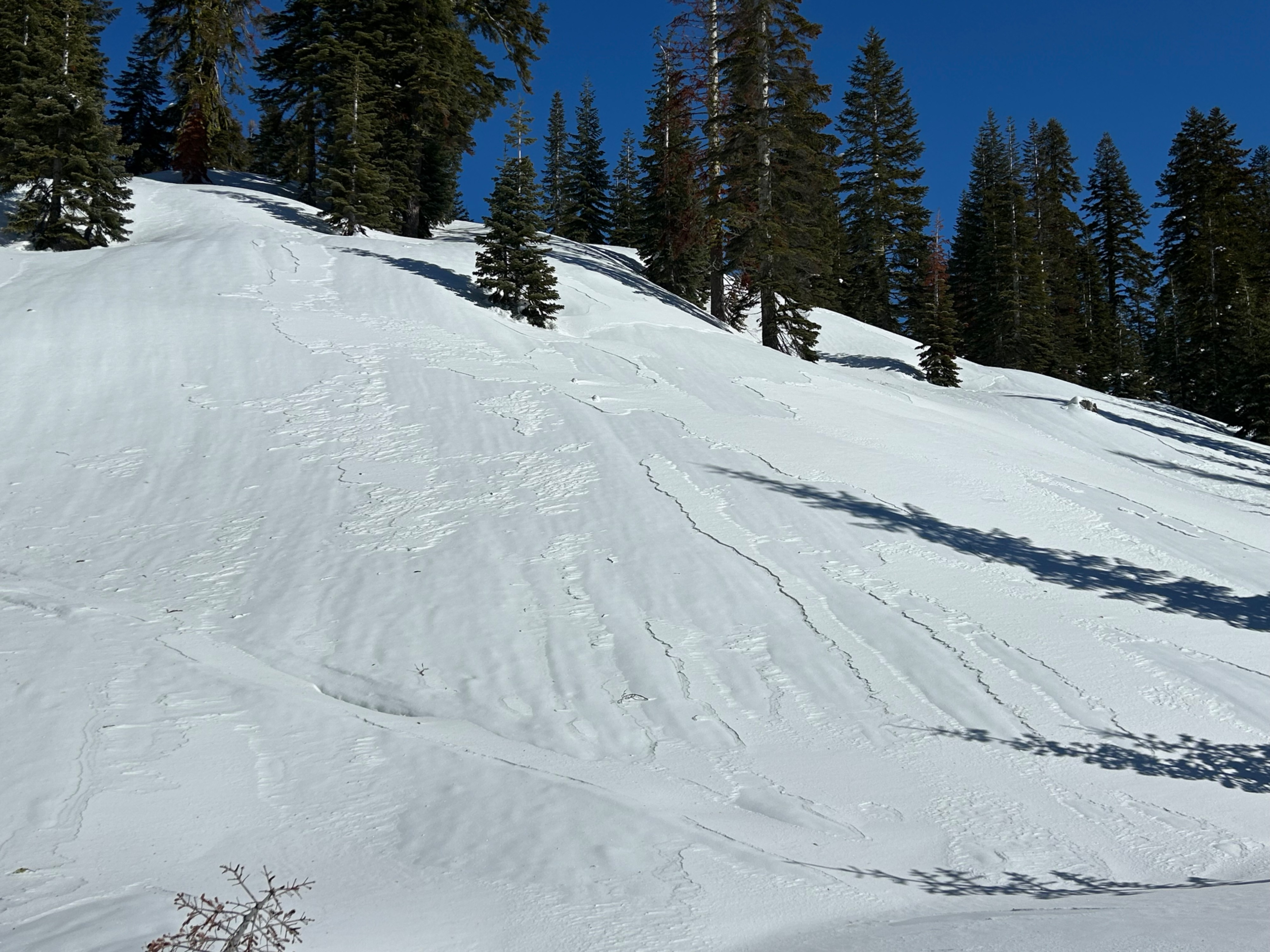
The rain that fell on snow two days ago has frozen, encapsulating all elevations and the majority of surfaces in a rain crust. Yesterday’s snowfall has been scoured away, except for select areas where wind scab and wind slab remain. I found wind slabs on east aspects in leeward catchment zones to be five inches deep and of 1F hardness. This illustrates the potential for larger wind slabs to be nestled among pockets of extreme alpine terrain. Northwest winds were observed actively blowing and pluming snow over prominent terrain features for the first half of the day. Needless to say, the wind has been at work. Firm, icy, and slick surfaces exist. Be cautious.
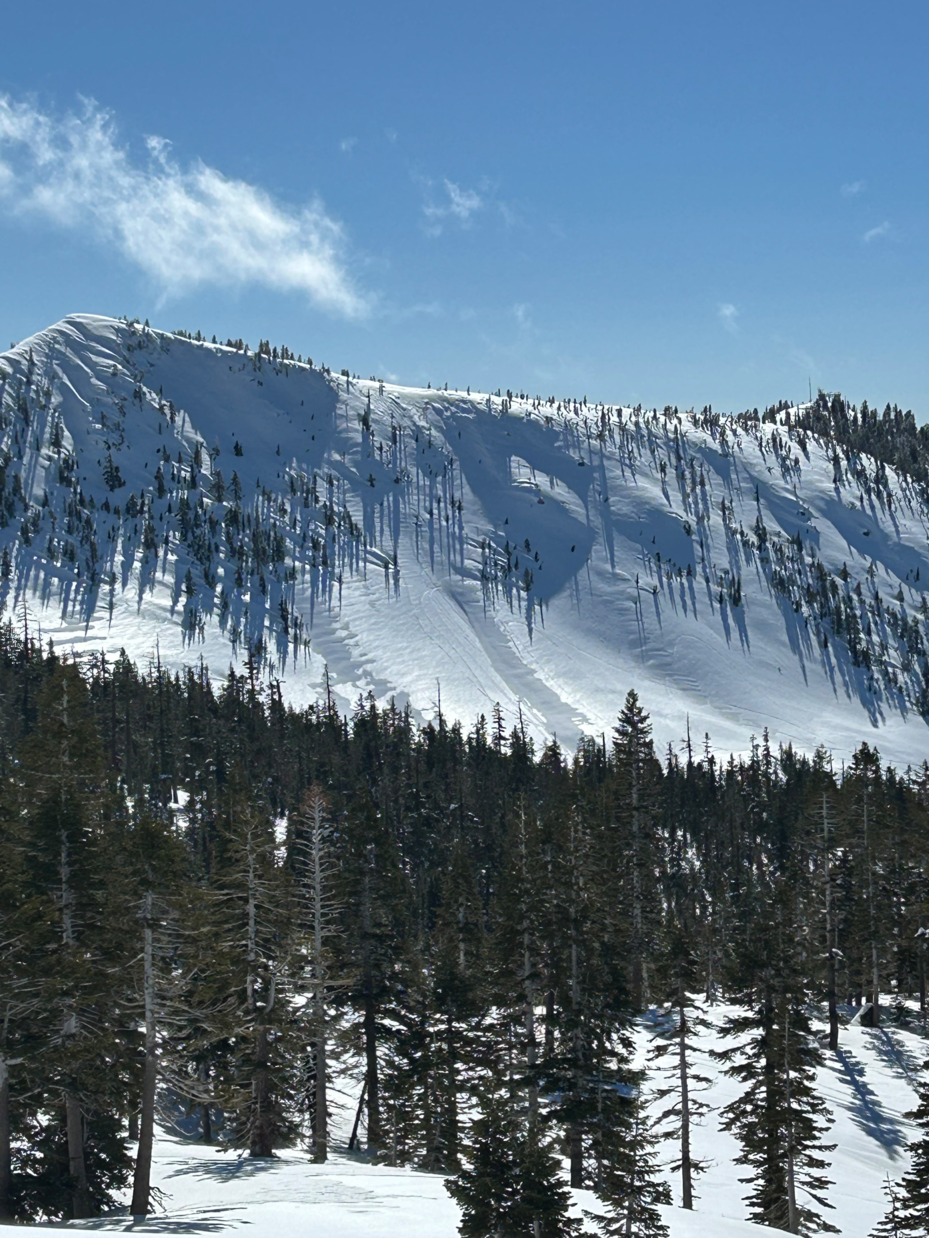
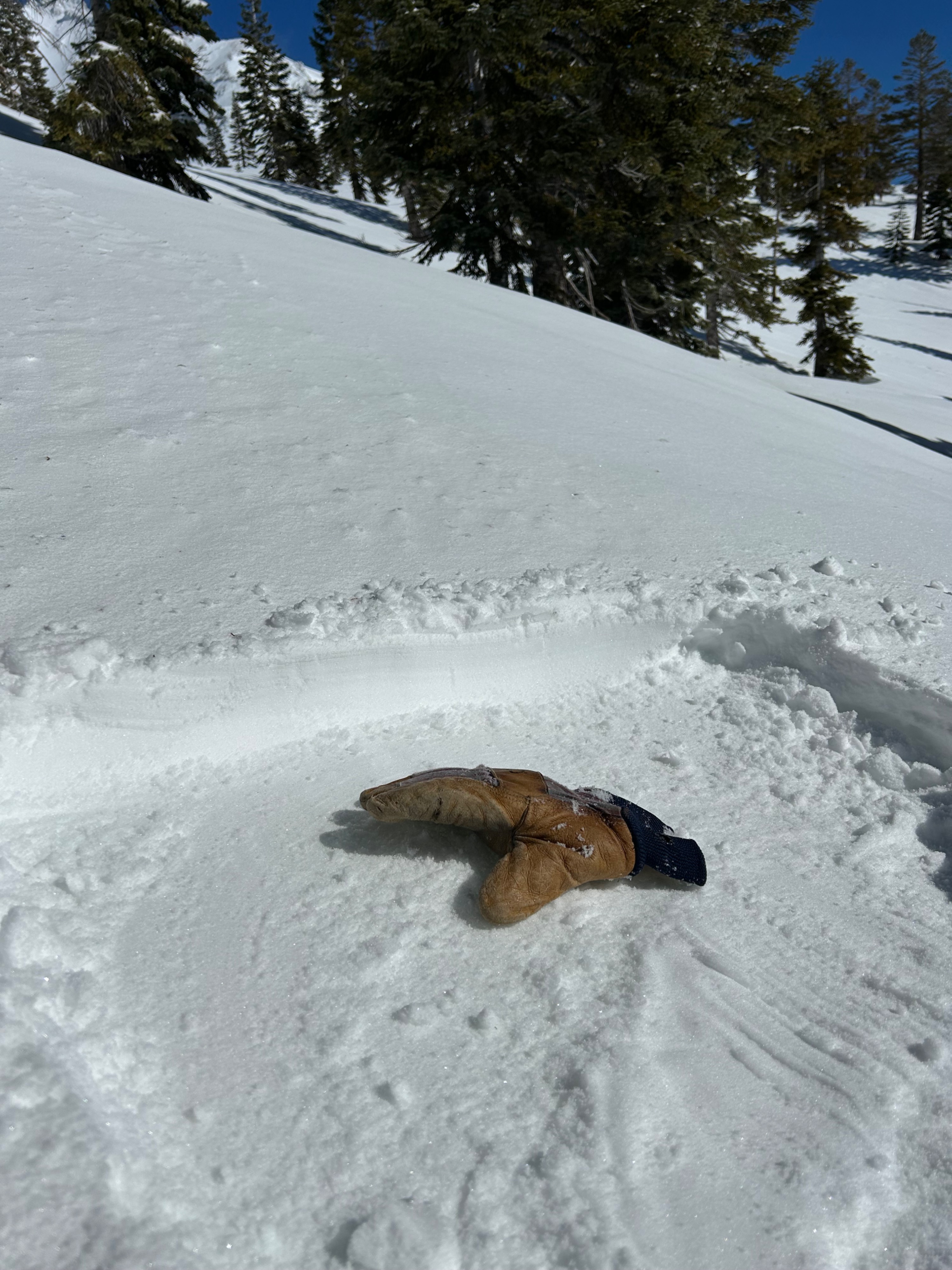
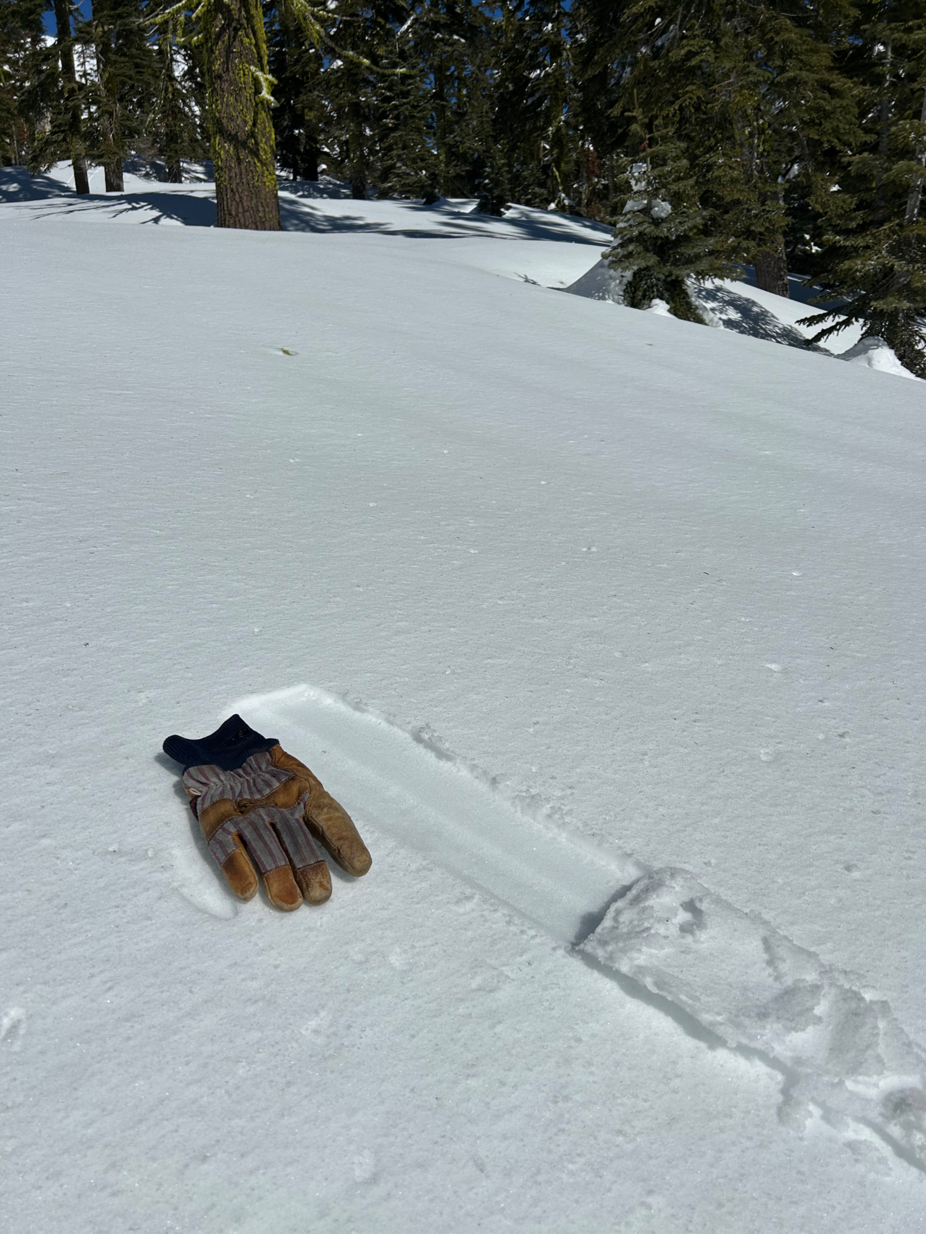
Surfaces on southerly aspects below treeline superficially softened by the afternoon. No wet snow instabilities were observed, although temperatures were warm.
Weather
- Air Temp
- 38
- Cloud Cover
- clear
- Wind Loading
- light
- Recent Snowfall
- 0
- Snow Avail For Transport
- small smounts
The day was clear, mountain temperatures rose into the high 30s, although wind chill made it feel more like the 20s. West-northwest winds blew at moderate to strong speeds above treeline.
Snowpack
Terrain catchments, like gullies, bowls, and concave depressions near and above treeline, hold varying depths of wind slab.