
Quick report
While springtime in town is distant to the mountain elevations, the mountain snowpack continues to evolve. At the middle and upper mountain elevations 10 to 20 cm (~4 to 8in) of new snow now sit atop a crust - the rain event from a week ago, and days of warm temperatures - which has now refrozen. New snow instabilities, from the last two storms is driving the current hazard and associated avalanche problems. While cooler temperatures are decreasing wet snow avalanche problems, wet snow issues will accompany the next weather warmup. Spring weather and snowpack conditions are dynamic, keep your awareness and travel mindsets in tune to changing conditions.
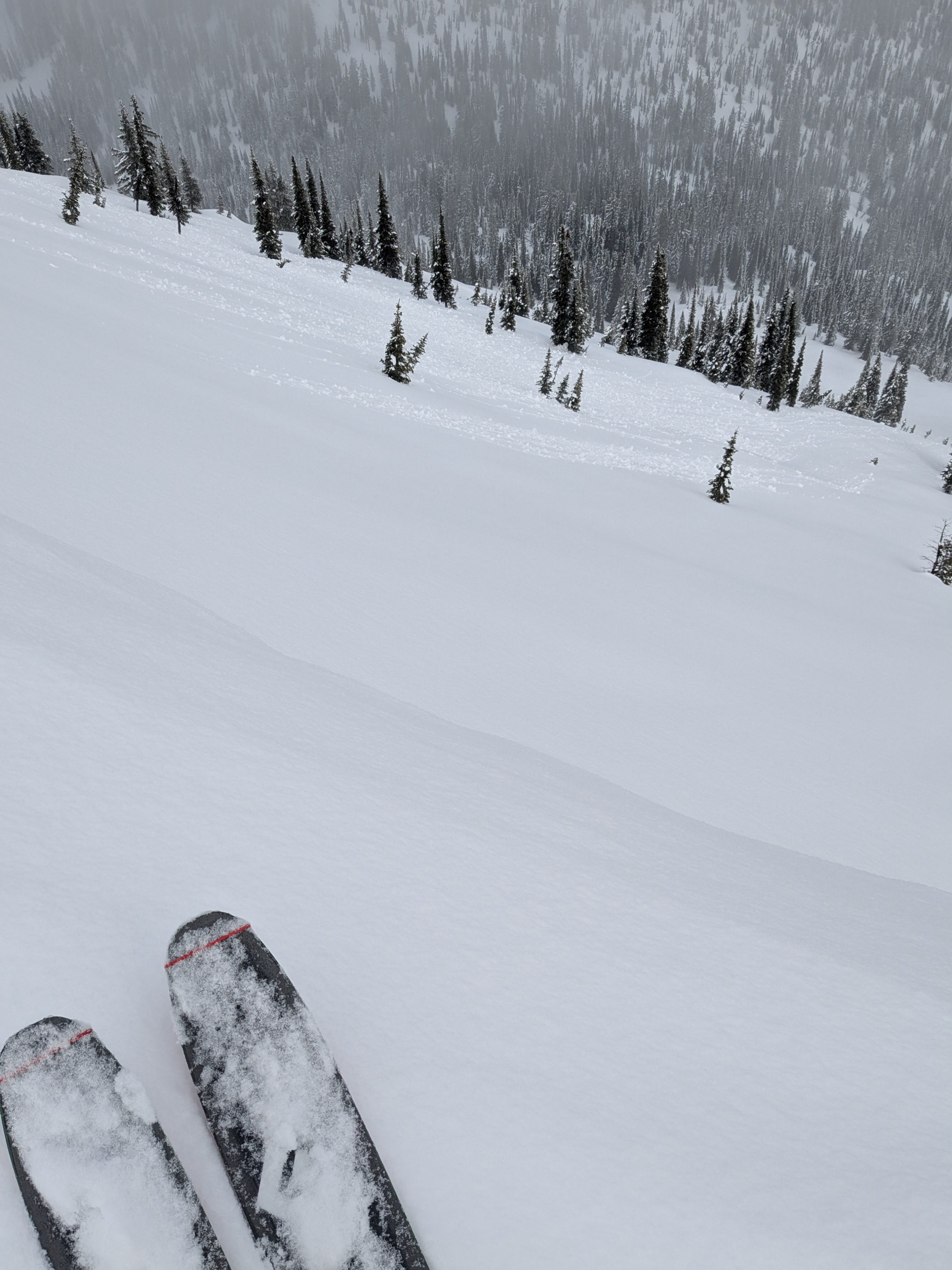
A quick burst of sun this morning triggered numerous rollerballs and a few small loose sluffs in steeper terrain on easterly aspects. These were mostly size 1.Weather
- Cloud Cover
- broken
- Wind Loading
- light
- Rain Elevation
- 4000
- Recent Snowfall
- 20cm since 3/28
- Snow Avail For Transport
- small smounts
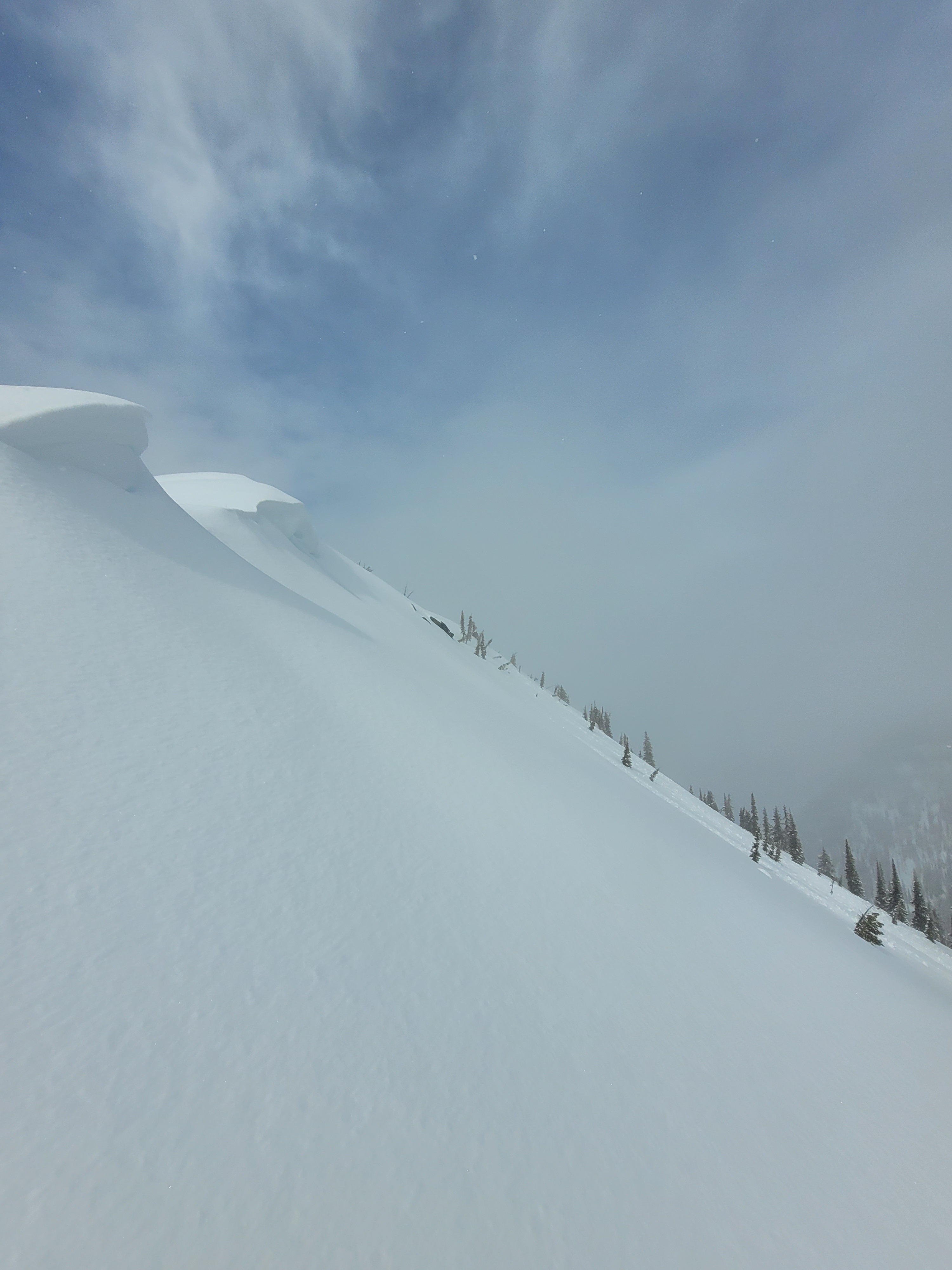
The rain line was at around 4000’. Intermittent sun and snowfall mid-day with calm to light winds. Visibility varied allowing across valley views.
Snowpack
We traveled up to 7,300 feet observing the status of the recent snowpack transition from wet snow to new snow instabilities. On an easterly aspects, at upper elevations, we observed recent roller balls from the brief mid-day sun. We found 20cm of new snow, since last Friday March 28, with a sun crust mixed in between. The significant rain event from a week ago, March 24 to 25, has left a thick and robust crust layer across all aspects and elevations that is likely holding the snowpack in place - limiting the wet snow avalanche potential till our next warm-up. This harder interface was supportive to boots around 6,000 feet and above, but we easily punched to boot top below that elevation.
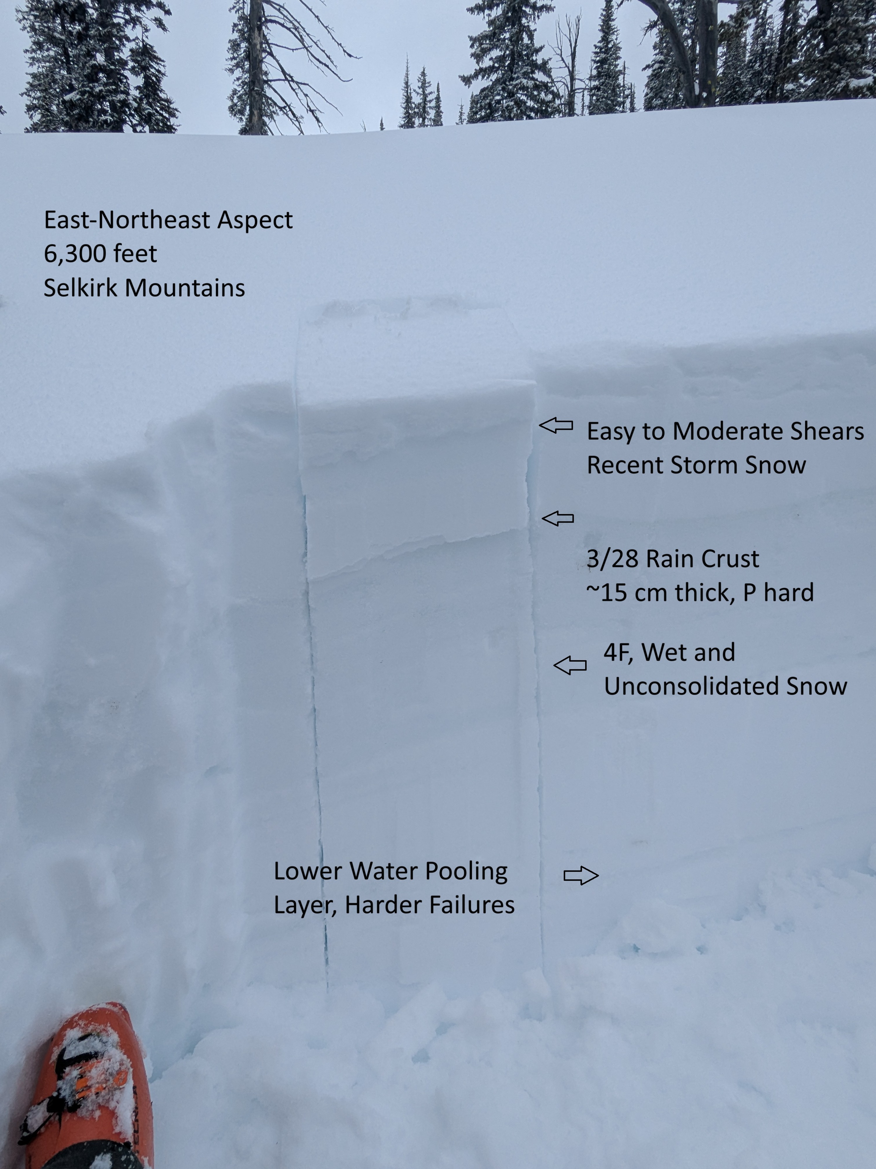
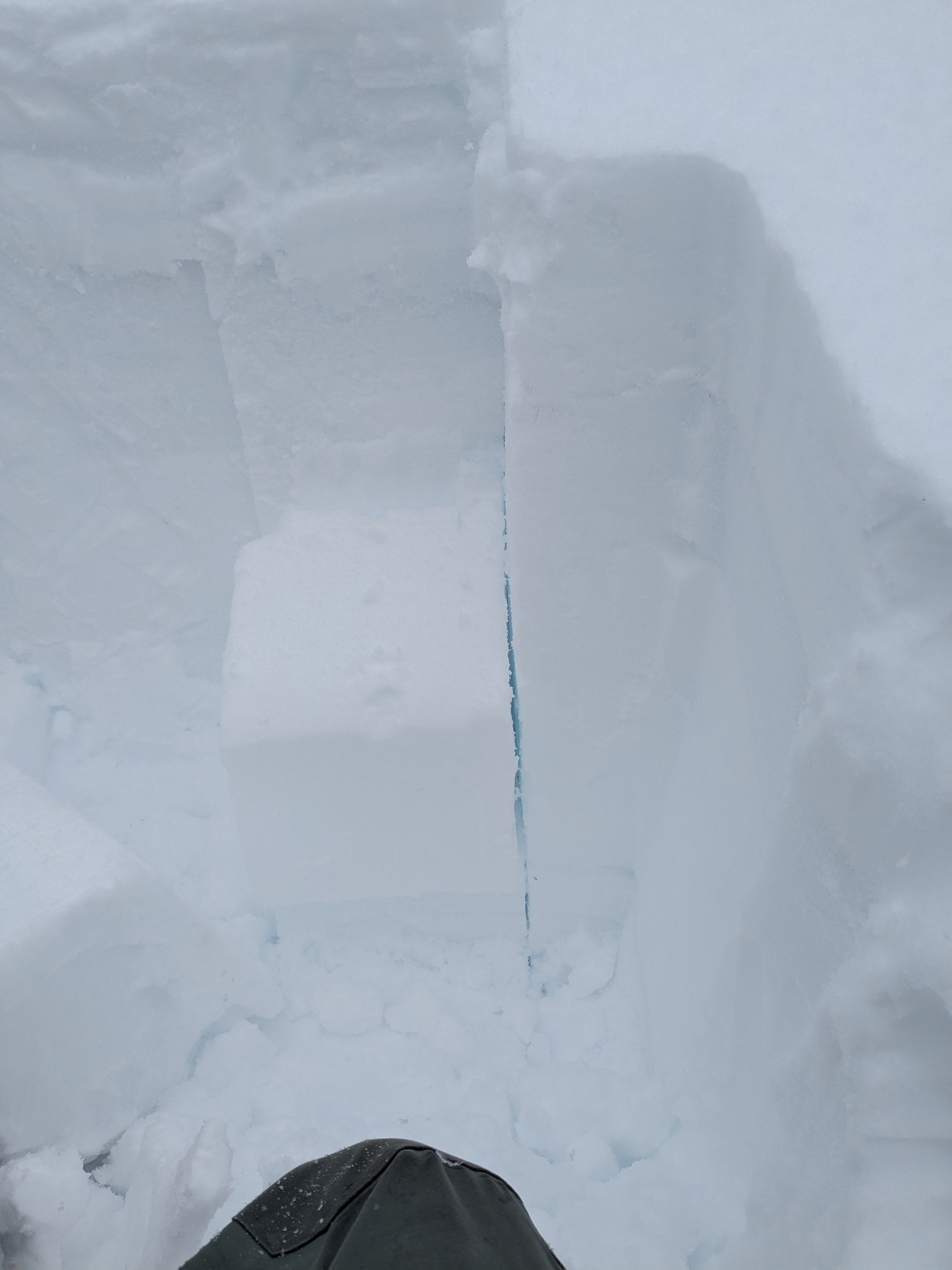
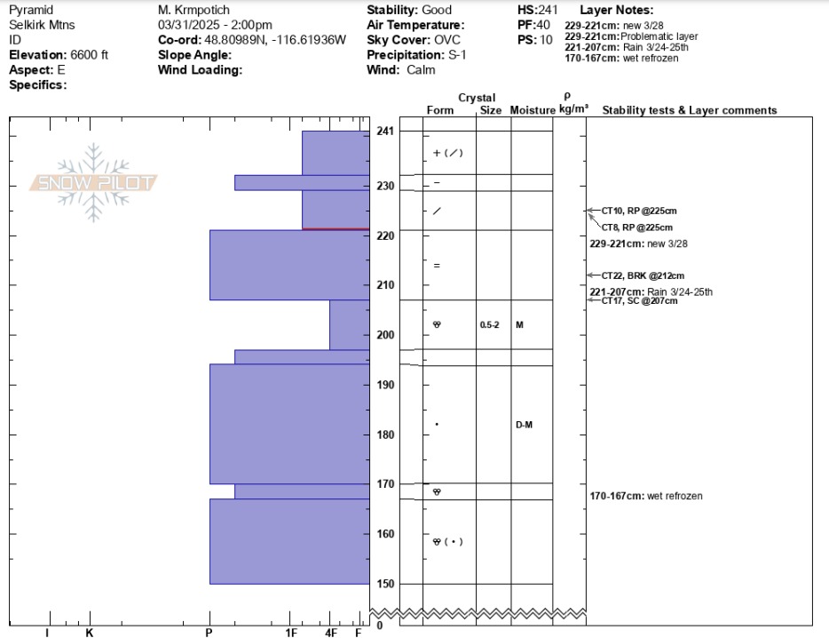
Digging on an east-northeast-facing slope at 6,600 feet, snowpack tests produced easy to moderate shears in the more recent storm snow. At this location, the 3/28 rain crust was down on average 20 cm, P hard, and 15cm thick. This layer consists of partly refrozen wet snow grains. After isolating the column and breaking the tensile strength of the stout rain crust, we observed results of varying force and fracture character (CT10 RP down 15cm, CT17 SC down 35cm directly under 3/18 crust, and CT22 BRK within 3/28 crust). Moist snow exists below the 3/28 crust and to about 45cm below the surface.