
Quick report
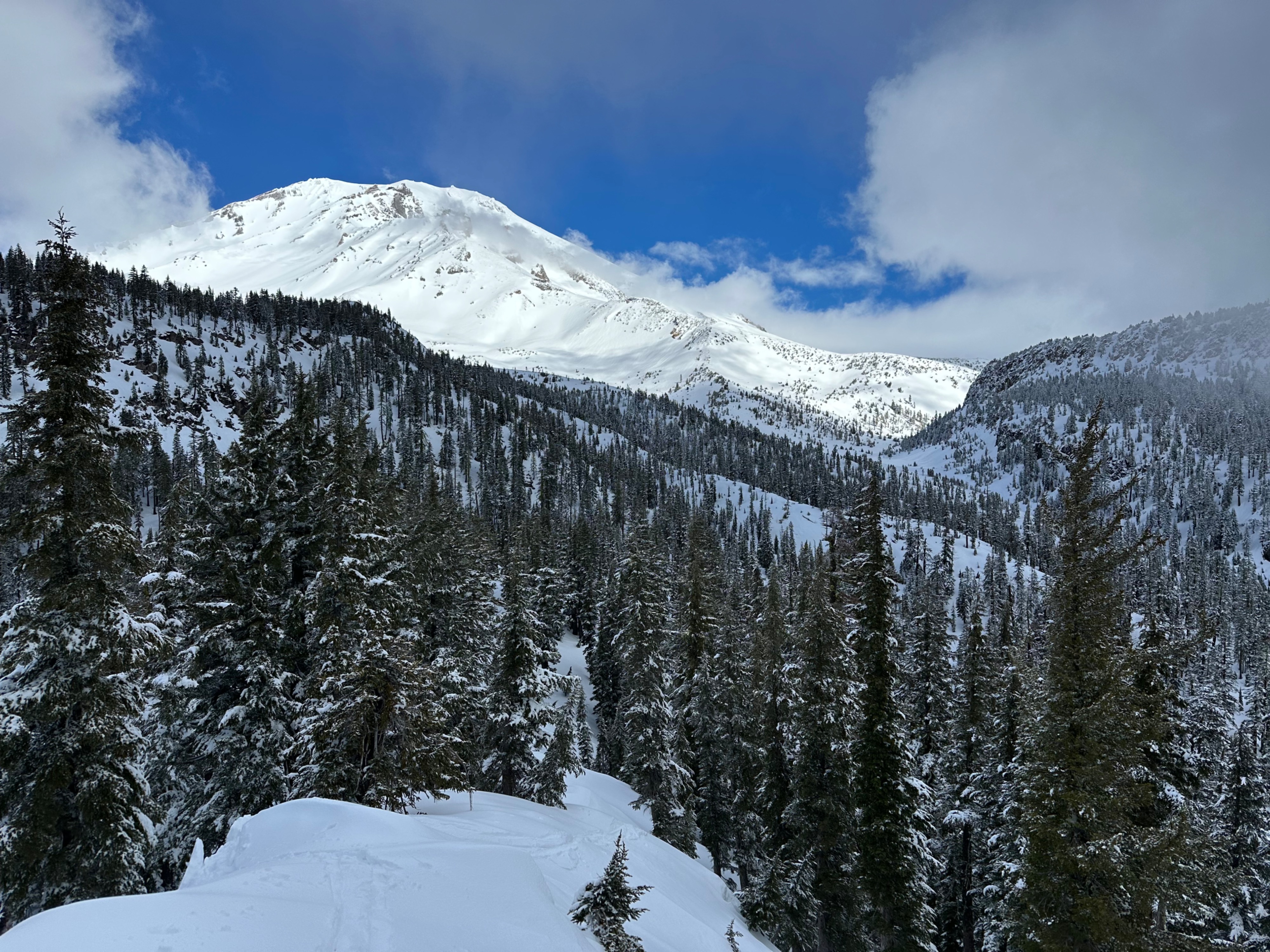
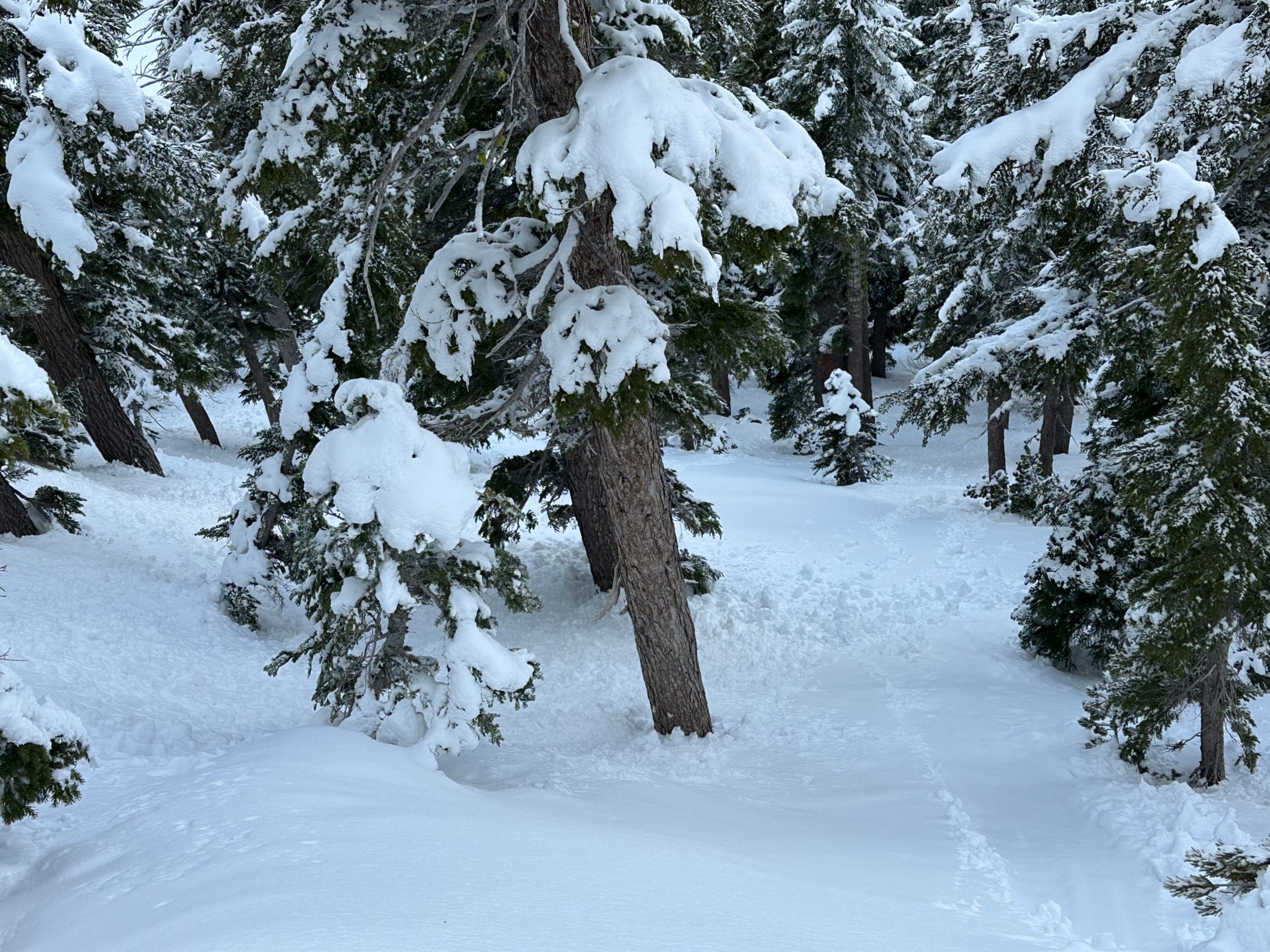
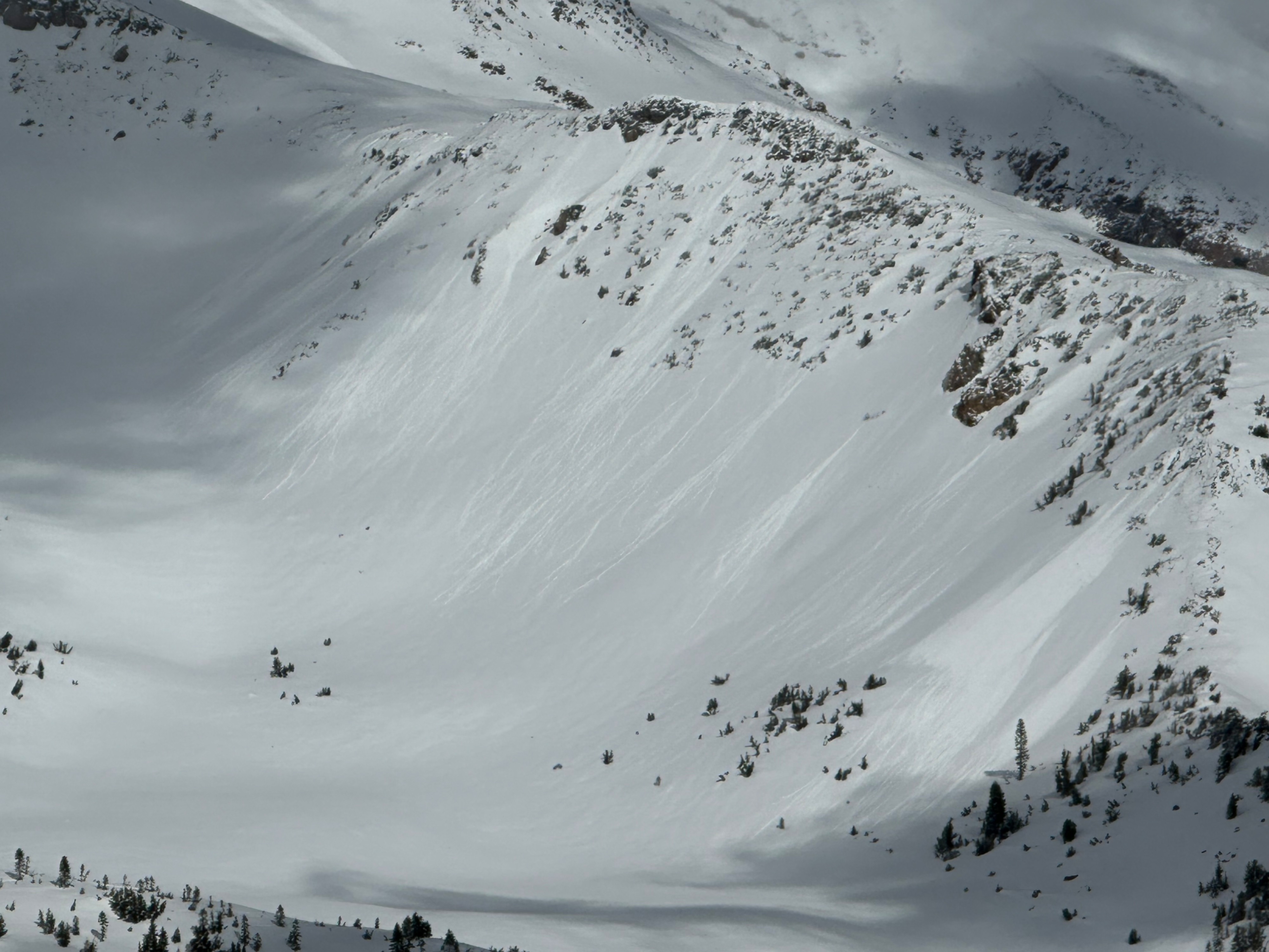
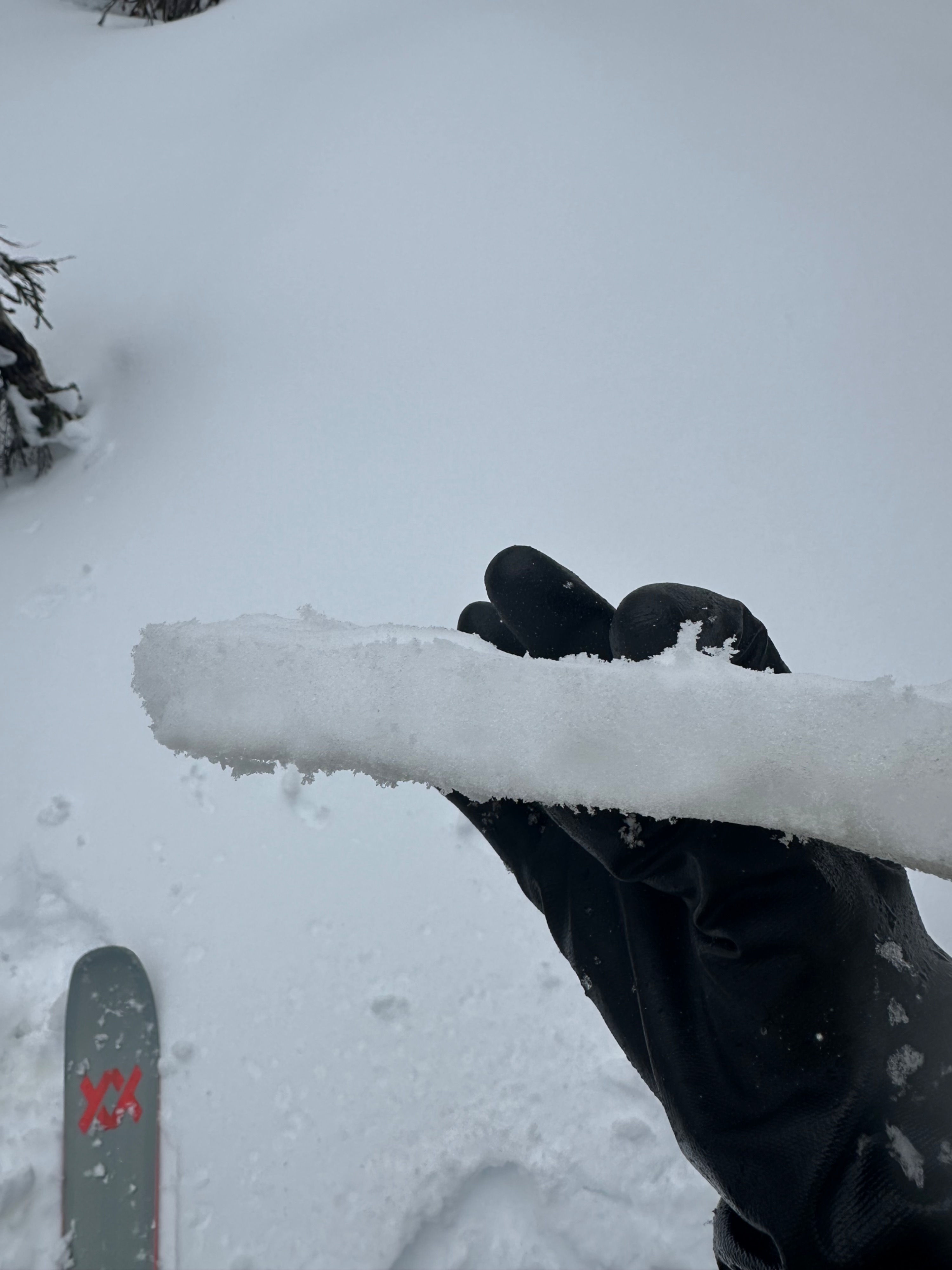
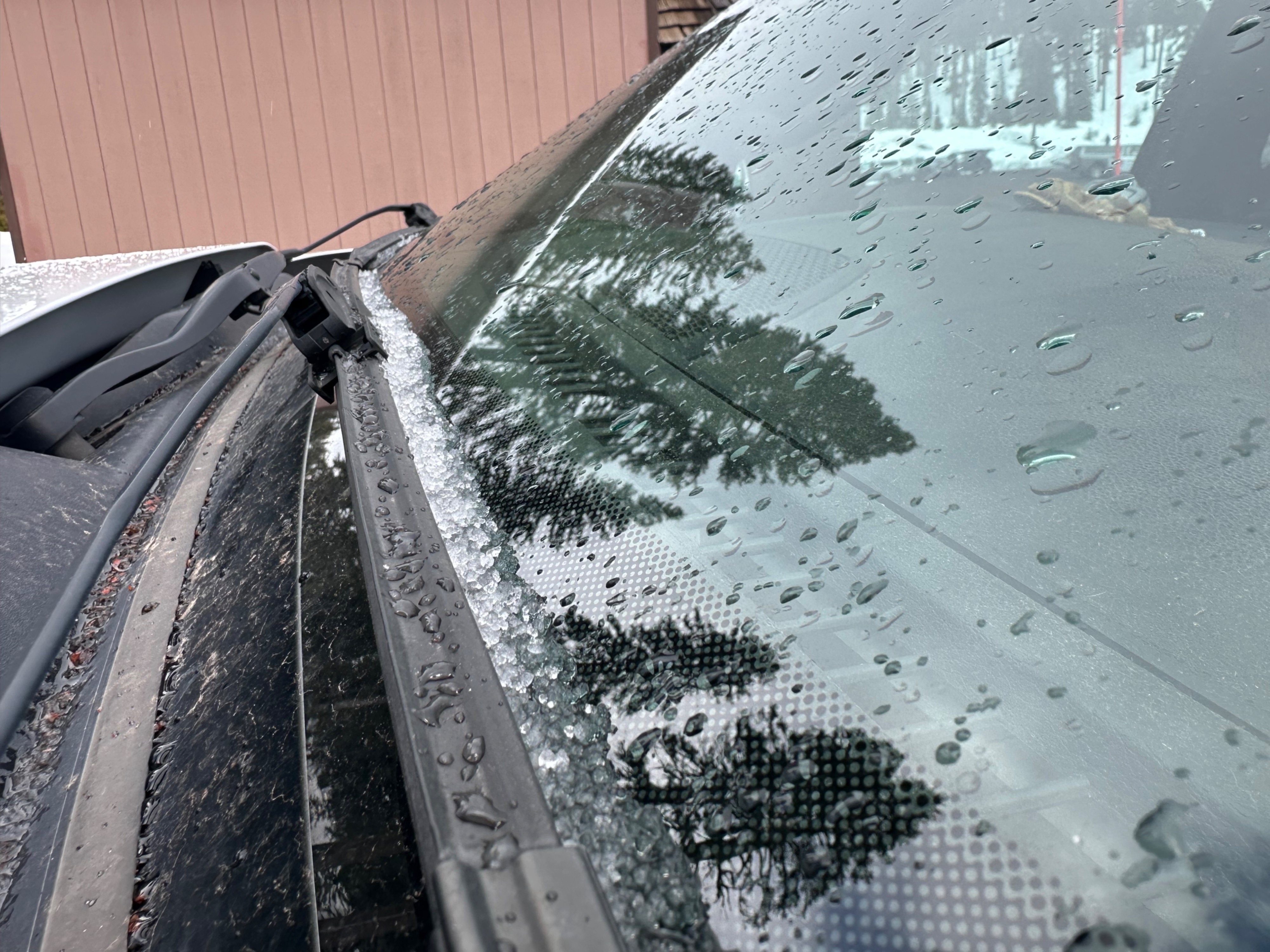
Moist, faceted snow lies underneath the February 8th crust on wind-drifted features along the north ridge of Gray Butte, but no cracking or propagating test results were observed. Yesterday afternoon's sunny skies and greenhousing produced many rollerballs on steep southwest through northwest aspects below, near, and above treeline. This surface warming, combined with below-freezing temperatures overnight, formed a widespread surface crust on nearly all observed aspects. The exceptions were east aspects near treeline and the most shaded locations under dense forest canopy. A brief shower of light graupel occurred at Bunny Flat around 130pm.
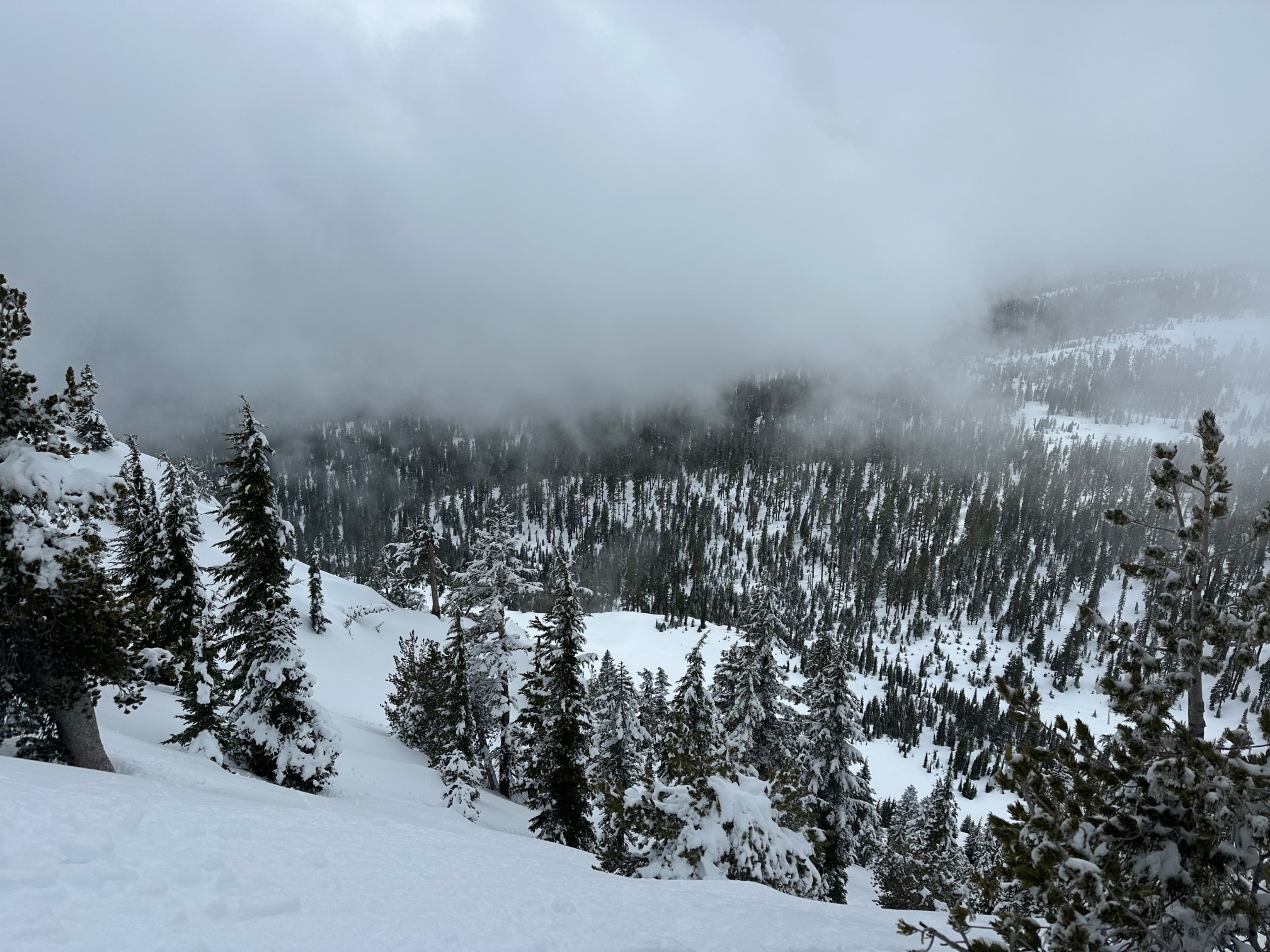
Widespread natural rollerballs from February 11th on steep, southwest through northwest aspects.Weather
- Air Temp
- 35
- Cloud Cover
- broken
- Wind Loading
- previous
- Recent Snowfall
- 25
- Snow Avail For Transport
- small smounts
Mostly cloudy skies in the morning became obscured by early afternoon with the arrival of fog and a short-duration shower of light graupel. Light easterly winds.
Snowpack
The widespread surface crust from yesterday's sunny skies and greenhousing was only a few centimeters thick at most and not particularly hard (P). A nuisance for travel on skis but not too noticeable on a sled.
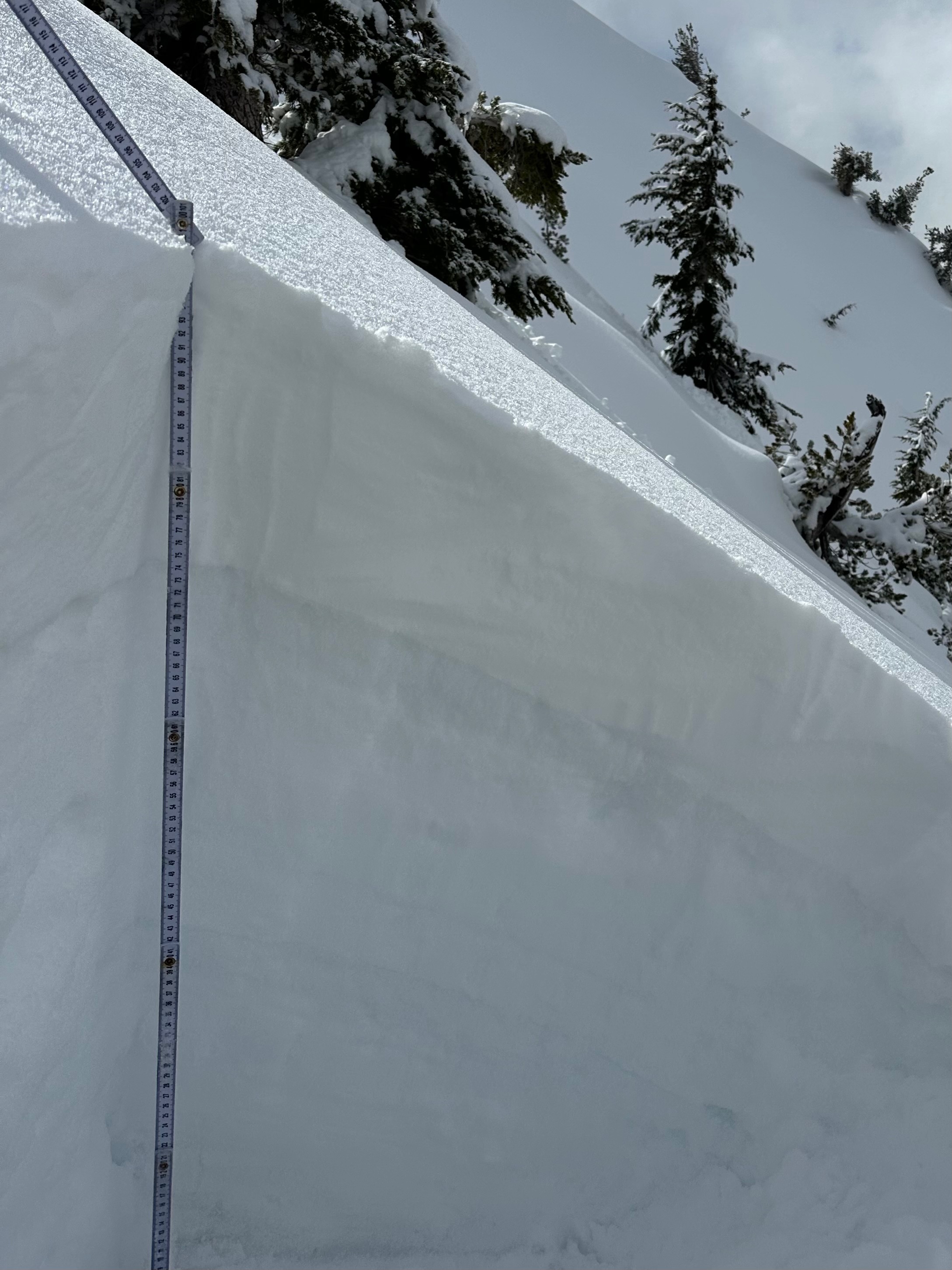
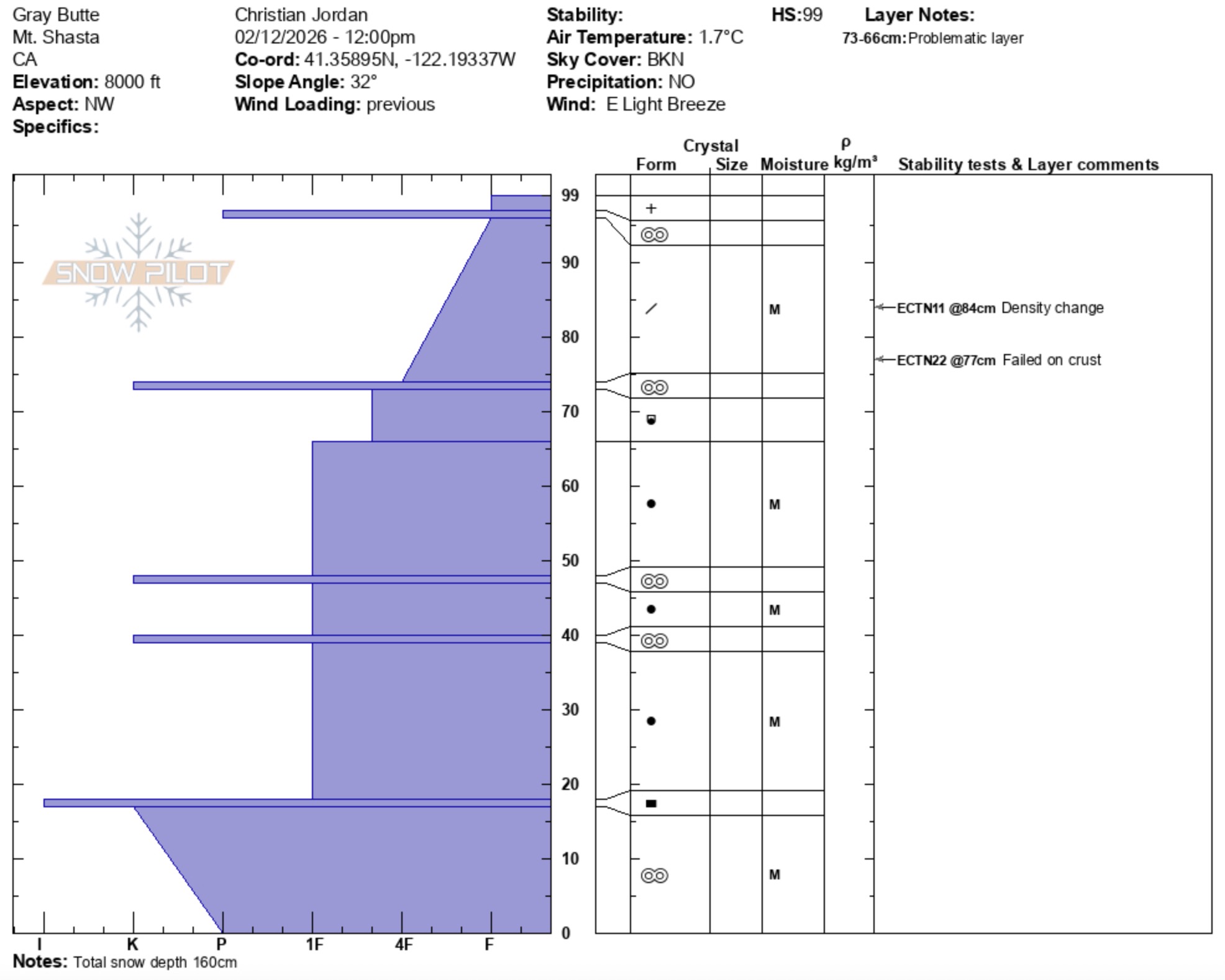
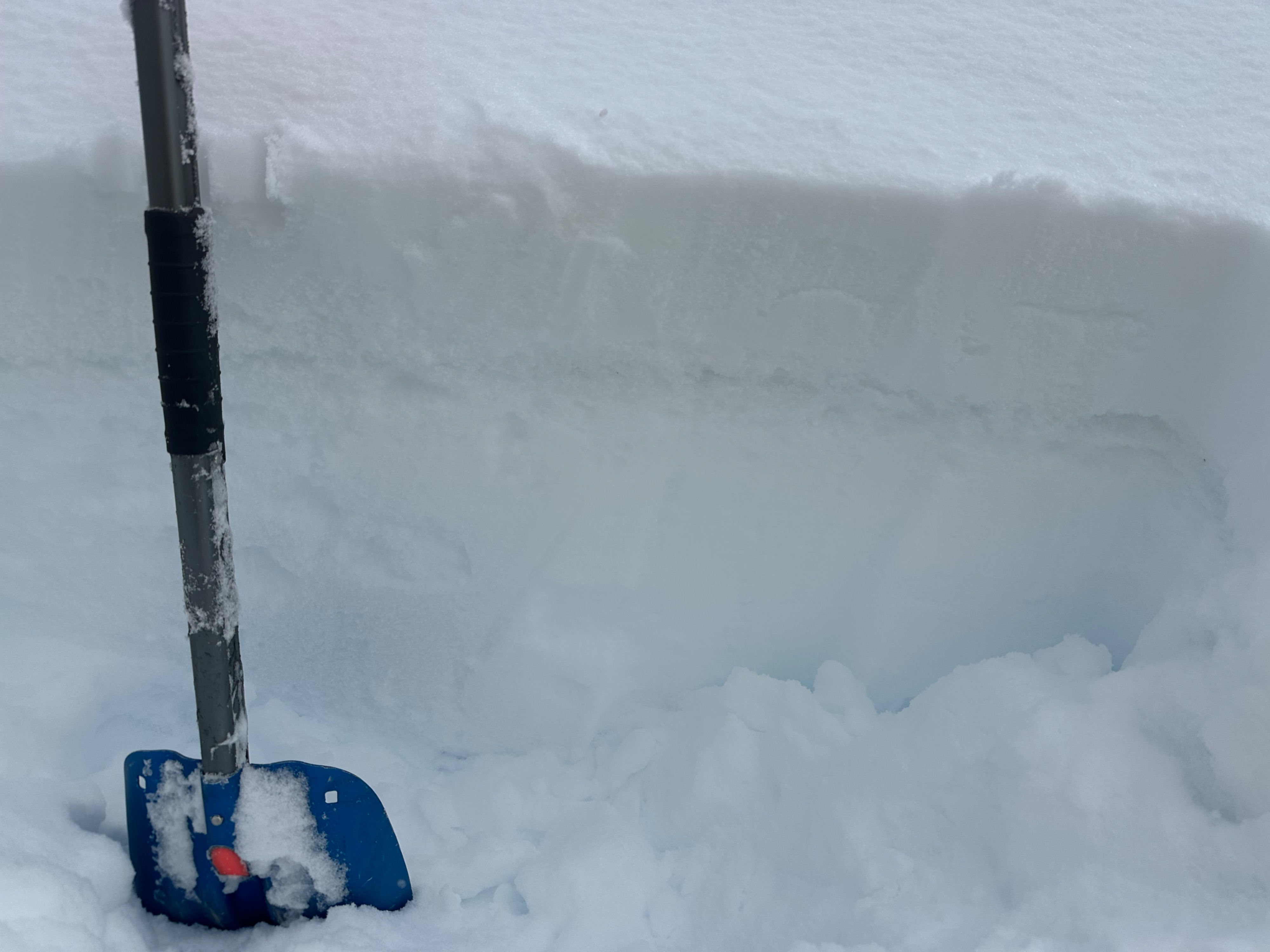
I walked across numerous wind-drifted features along the northwest ridgeline of Gray Butte, but no cracking was observed. A snowpit on a leeward northwest aspect at 8,000 feet (32-degree slope) showed about 10 inches of new snow atop the February 8th melt-freeze crust. A thin layer of soft, moist, faceting rounds (4F+) lies underneath the crust. While this layer did not produce propagating results in snowpack tests, it is worth tracking with additional loading events. See media gallery below for the complete pit profile from this location.
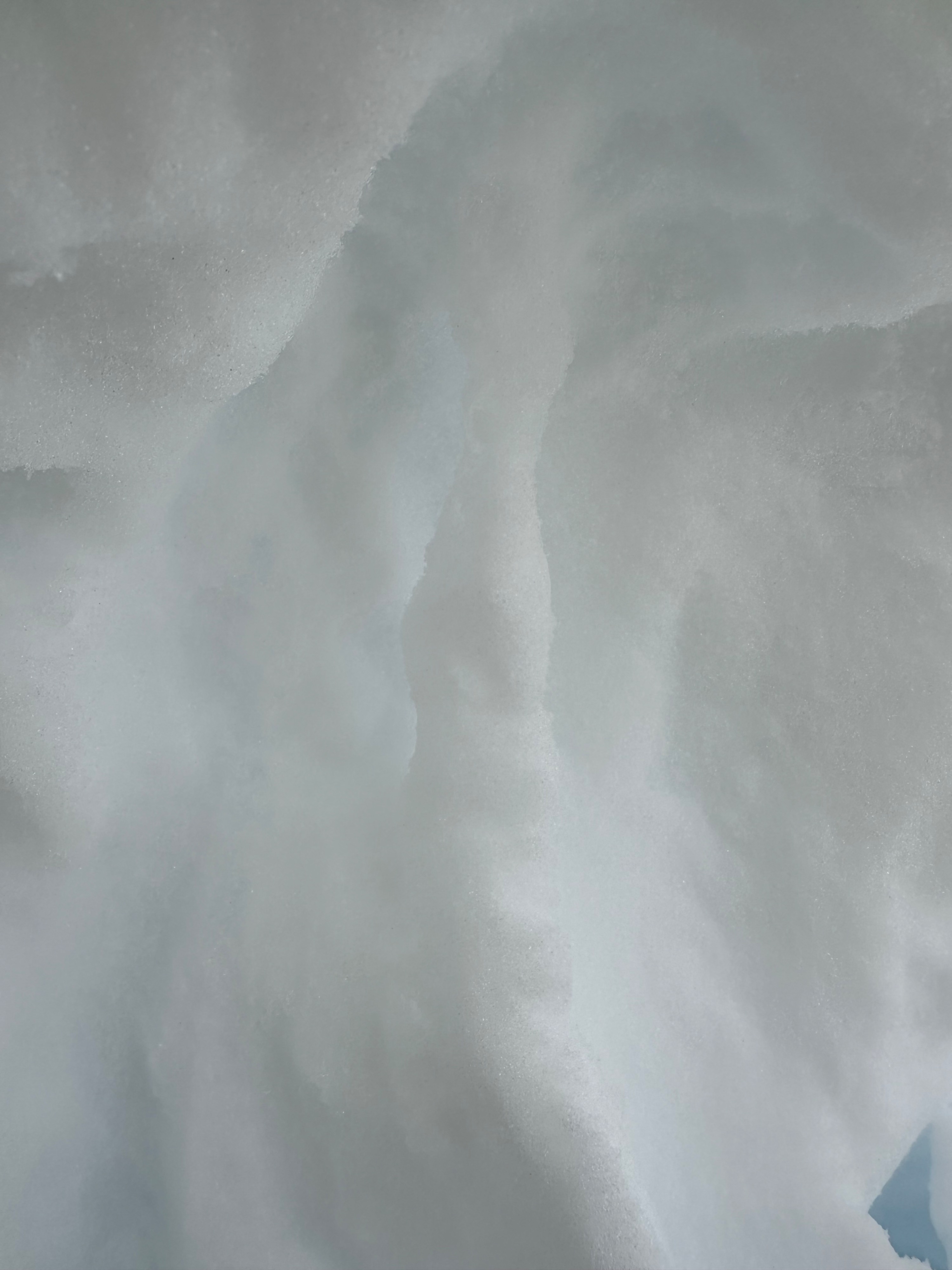
On the windward side of the ridge, the snowpack structure is stronger. On an east aspect at 8,000 feet (40-degree slope), about 6 inches of new snow sits above the February 8th melt-freeze crust. This crust was about 1.5 inches thick. Below the crust, the snowpack is mostly right side up (1F) with percolation columns of frozen meltwater throughout (see media gallery for photos).