
Quick report
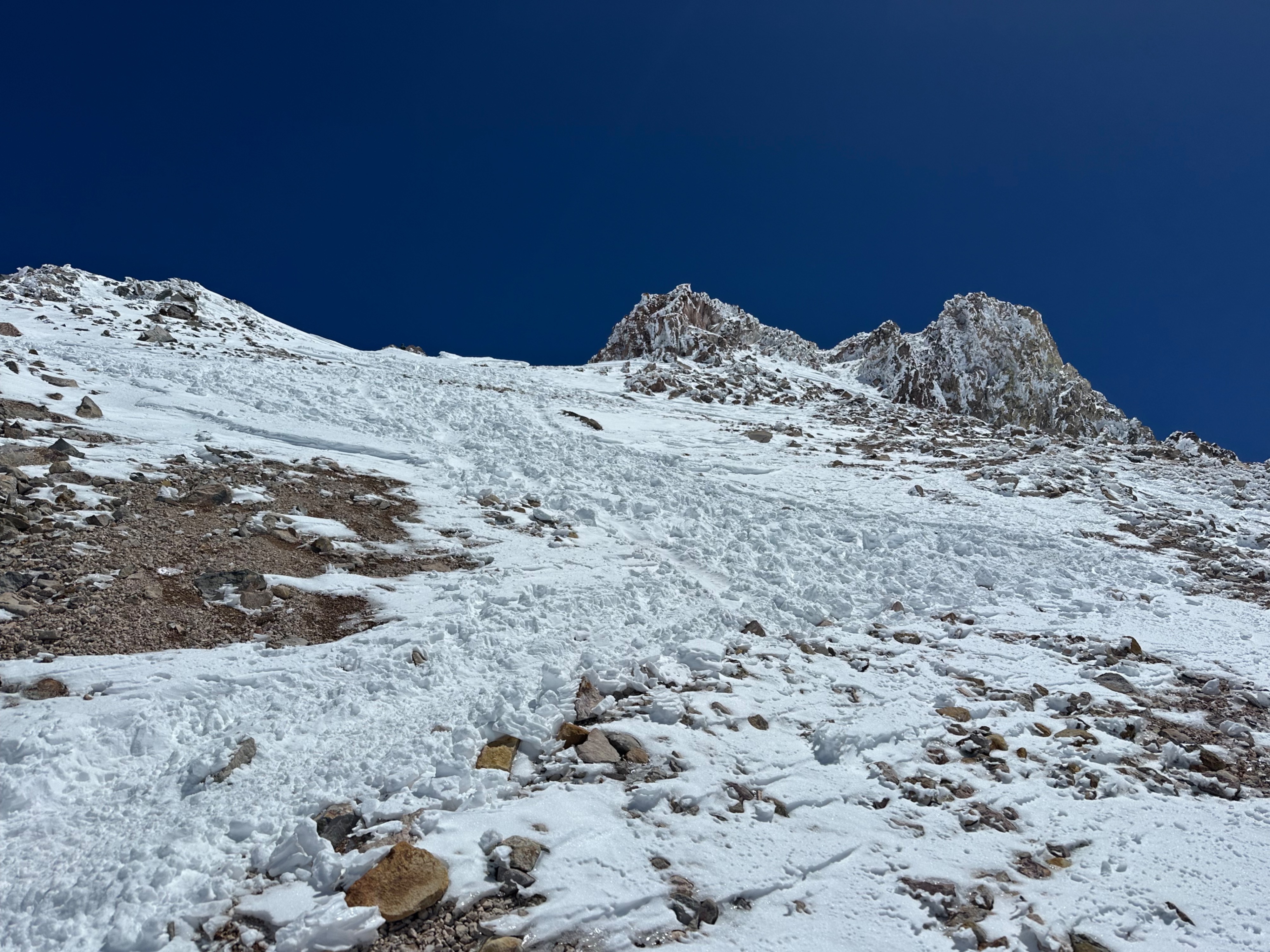
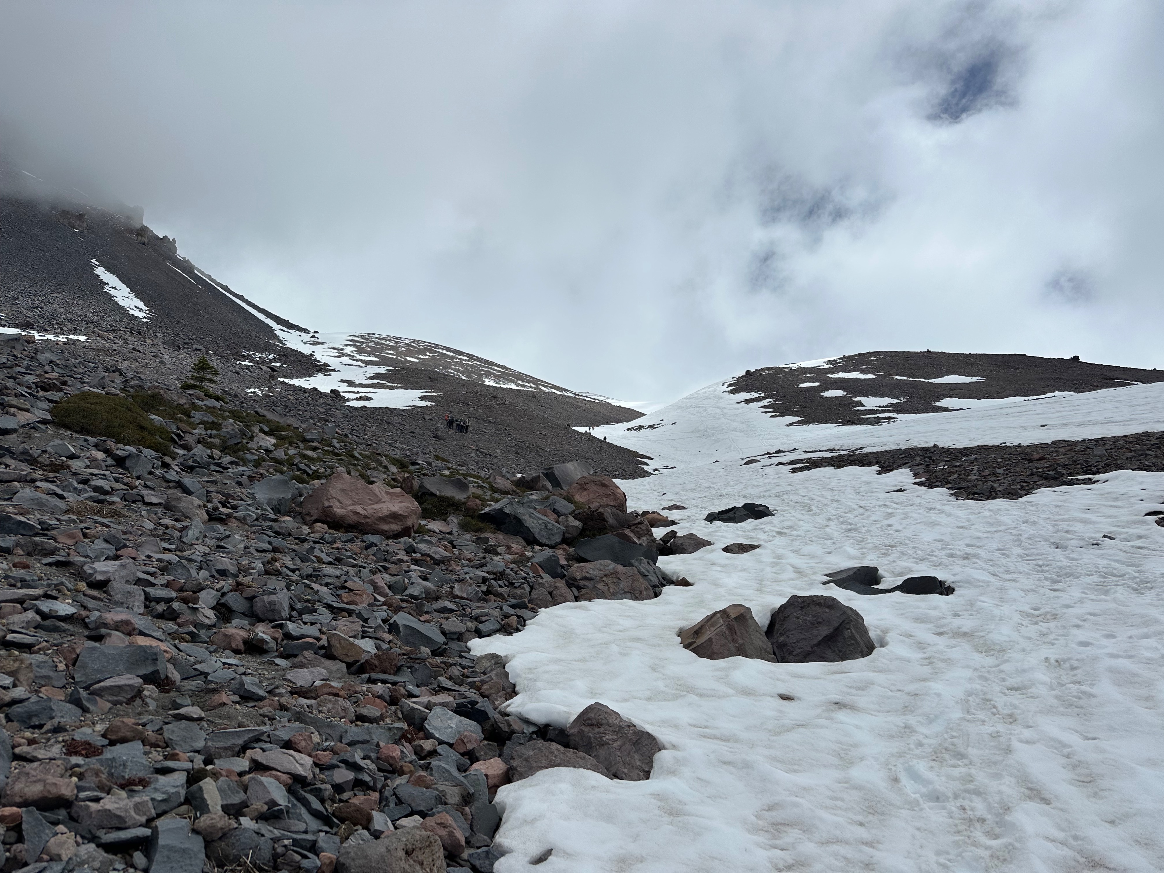
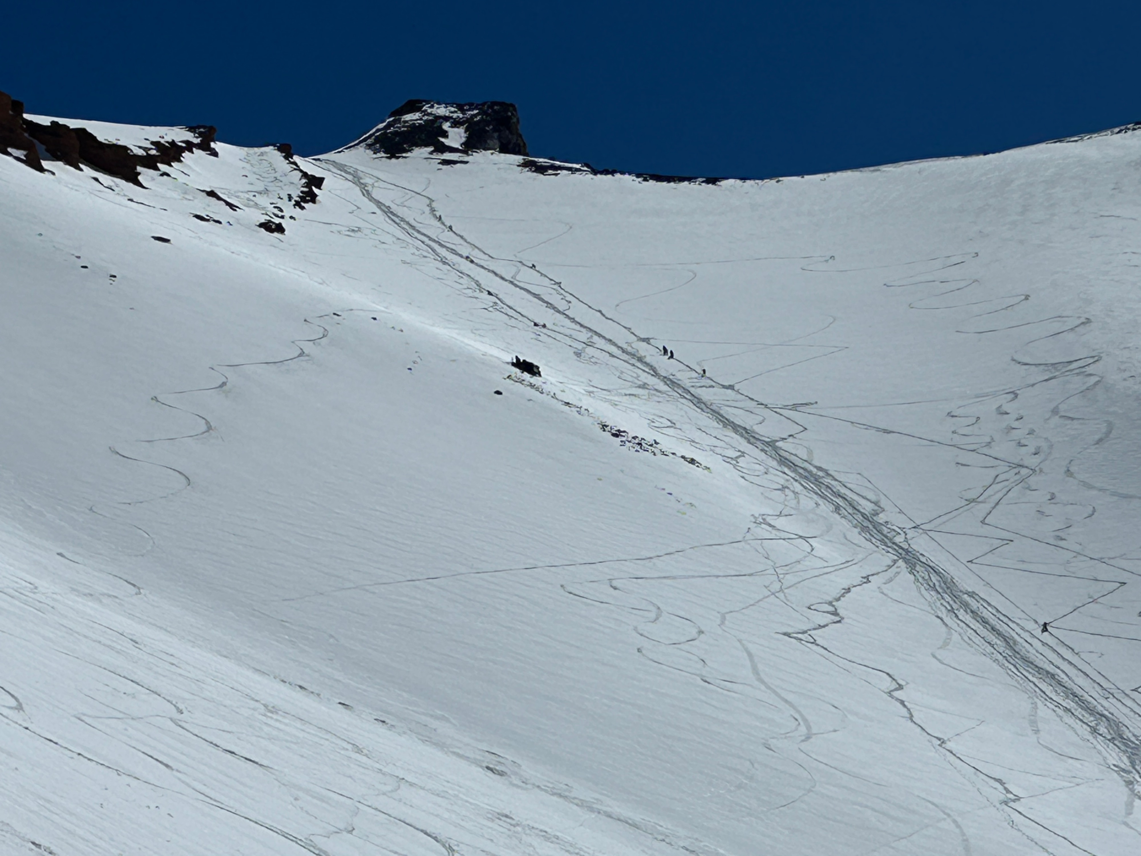
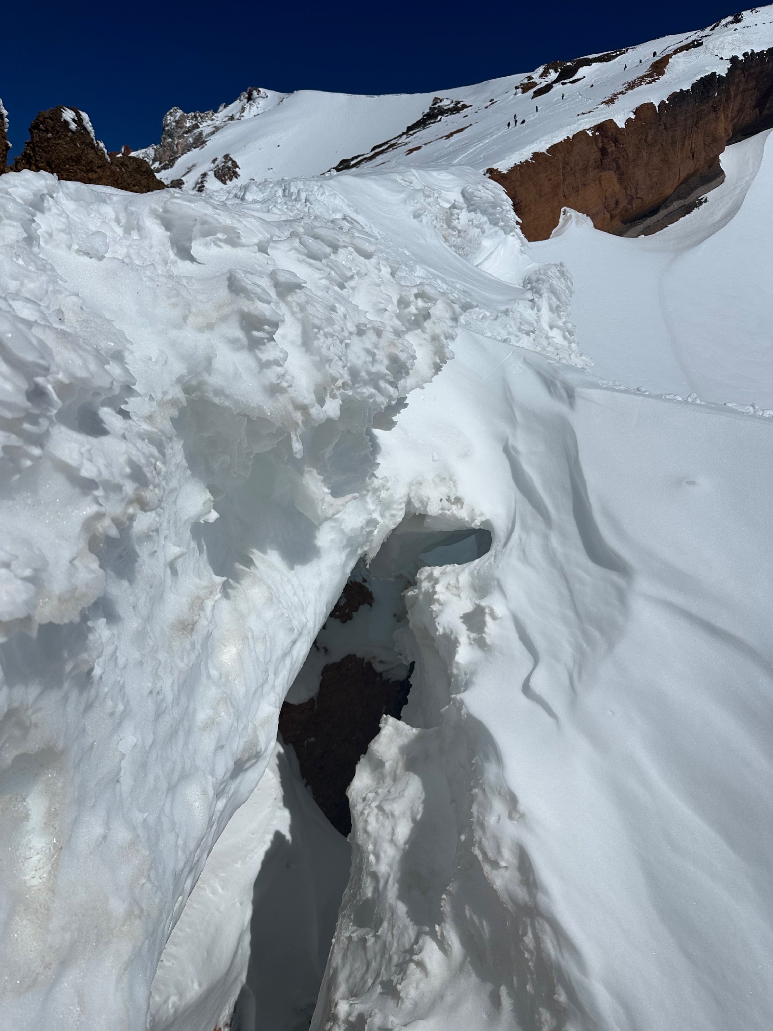
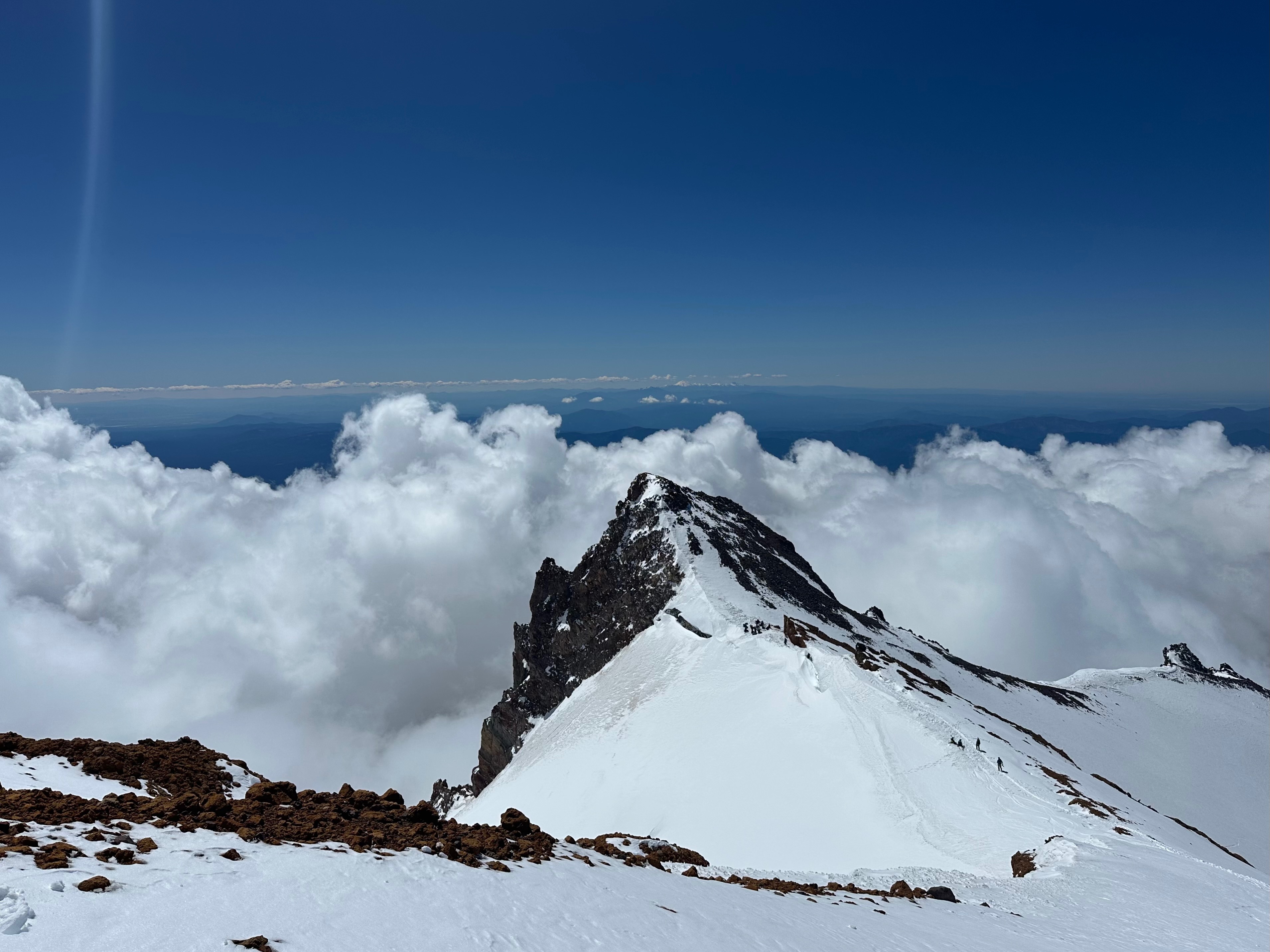
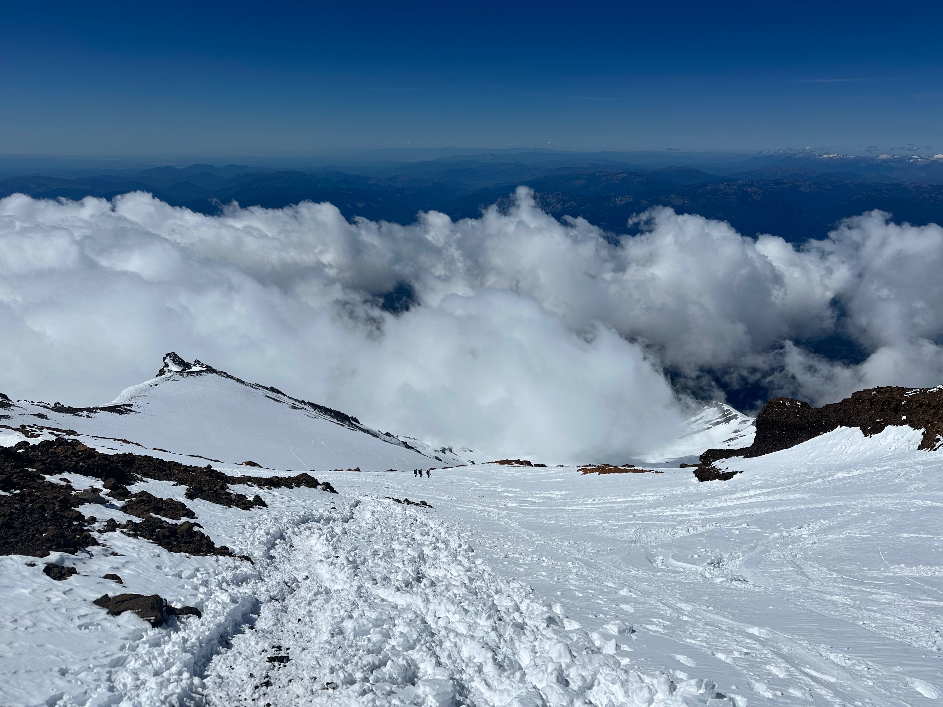
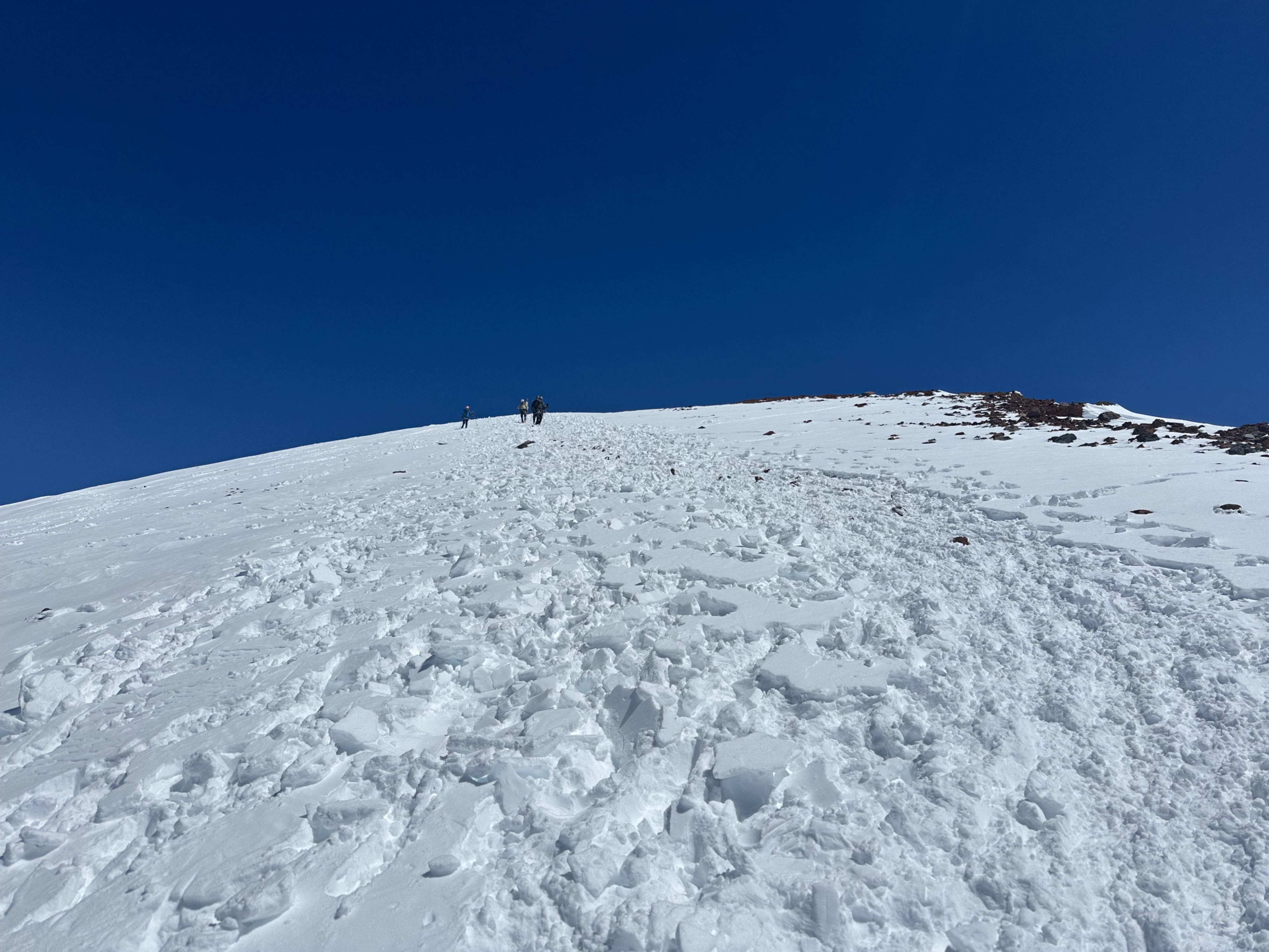
The Avalanche Gulch route remains in good condition for climbing, with mostly continuous snow coverage above 8,400 feet (Spring Hill). All of the standard mountaineering hazards are on the docket - see our Climbing Advisory for more details about climbing Mount Shasta.
Last week's storm deposited a few inches of snow below Helen Lake, and about 6 to 12 inches on the upper mountain. Wind-drifted locations received higher amounts. The new snow generally smoothed snow surfaces and provided coverage to Misery Hill. Skiing remains possible, but it will require effort to reach the turns. Be prepared for variable snow surfaces, including breakable crusts.
Here are a few key points from the climbing route:
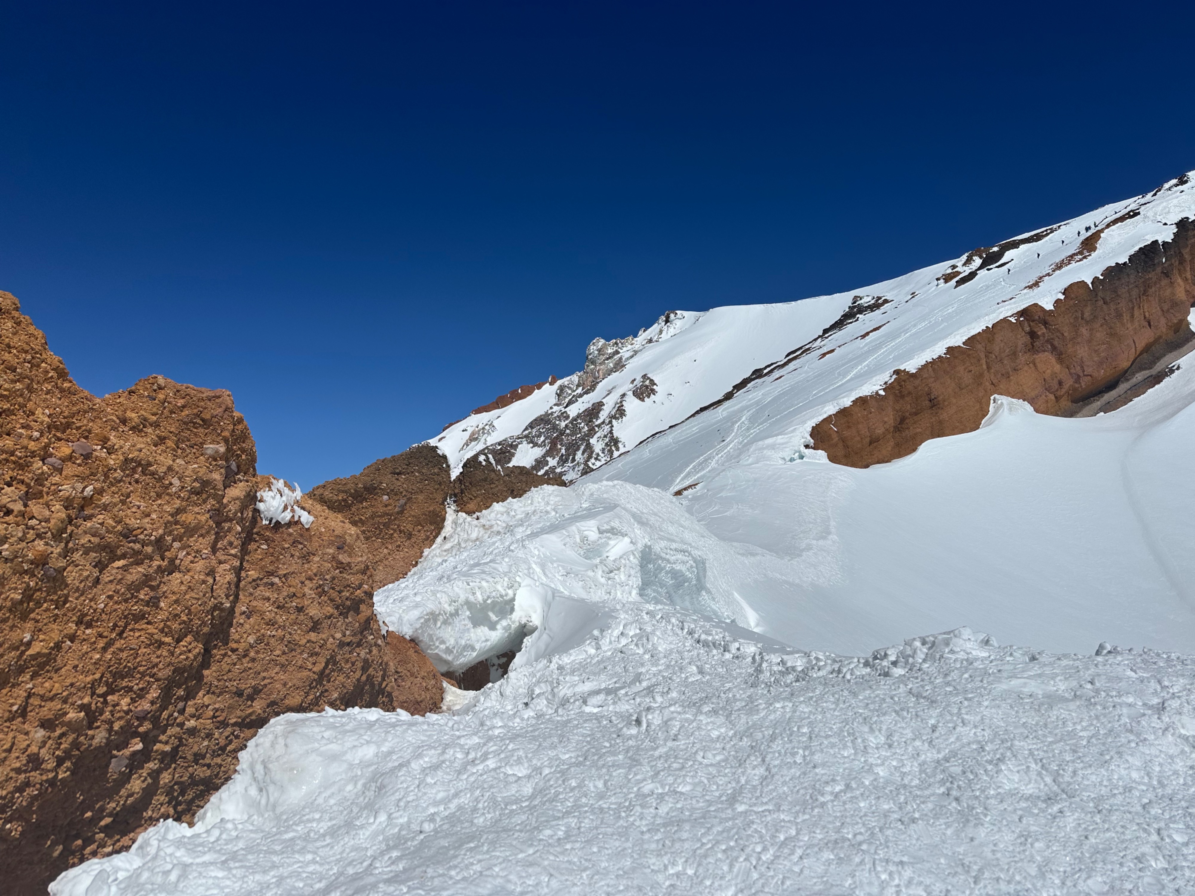
- Rangers observed active and recent rockfall and icefall. Wear a helmet, climb and descend early in the day, and minimize your time in areas with overhead hazard to help mitigate this risk. A turnaround time of 12 to 1pm is recommended.
- Glissading is possible. However, make sure that the snow is soft and that you can control your speed. Oftentimes, this is well below Thumb Rock. Never glissade with crampons on your boots and never glissade through the Red Banks.
- Avalanche hazard remains on the table with warm temperatures this week. Travel early while snow surfaces are most supportable, and move to mellower terrain if you observe signs that the snowpack is losing strength, such as rollerballs or sinking into wet, mushy snow.
- Plan for firm conditions with slide-for-life potential. Crampons, an ice axe, a helmet, and solid self-arrest skills are mandatory.
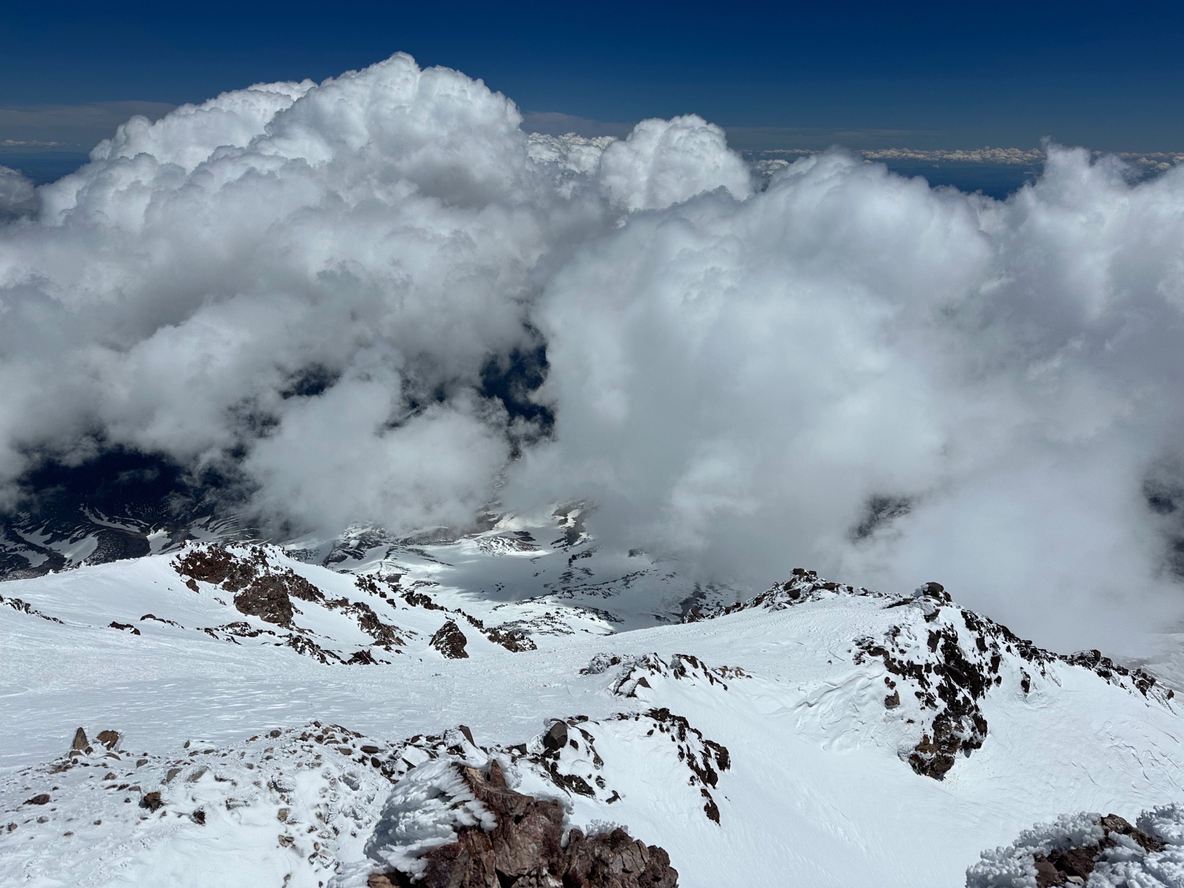
- Obscured visibility and whiteout conditions can occur on the upper mountain even if no clouds are in the forecast. Never climb into a whiteout, be prepared for changing conditions, and have a backup method of navigation.
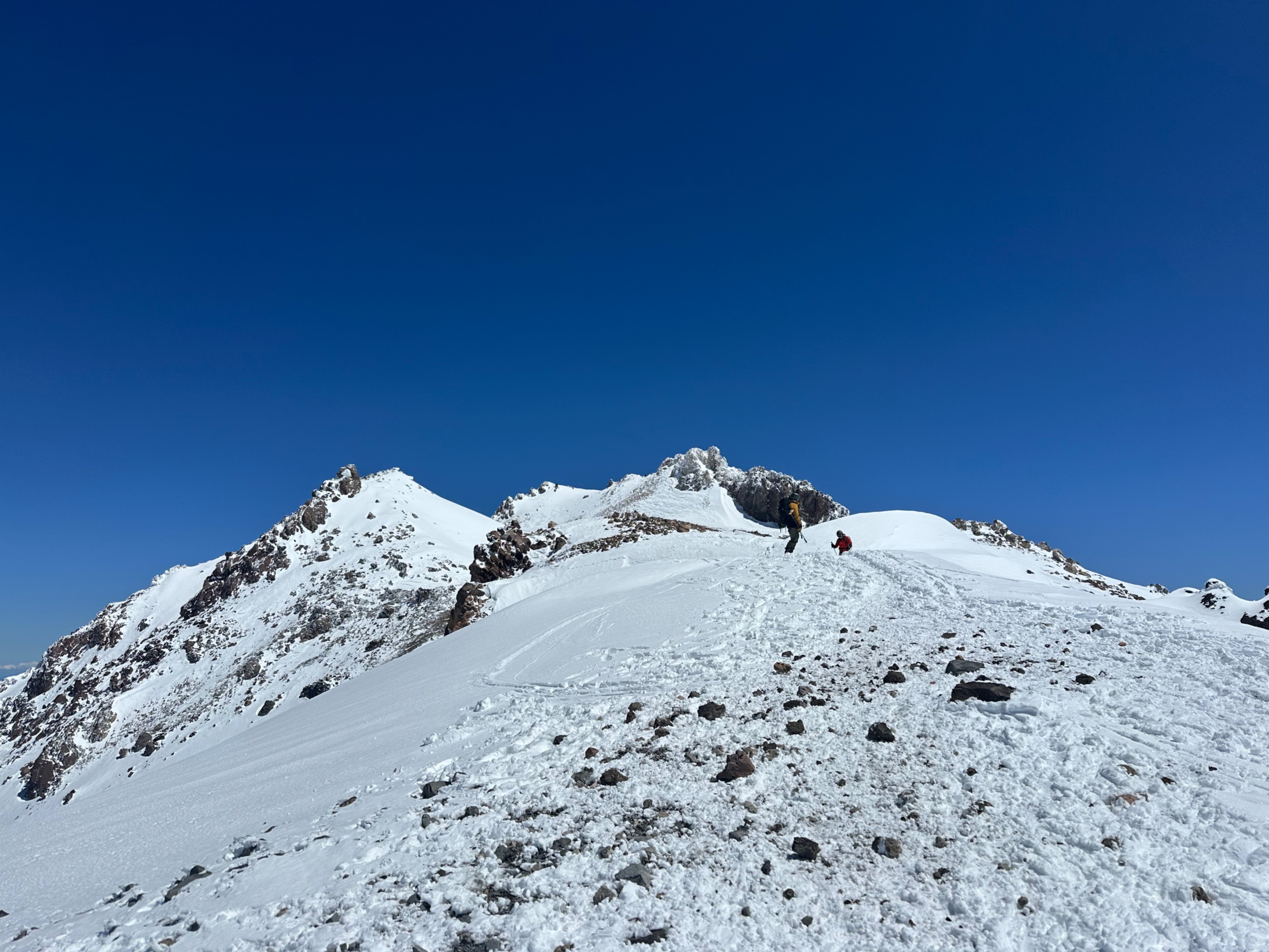
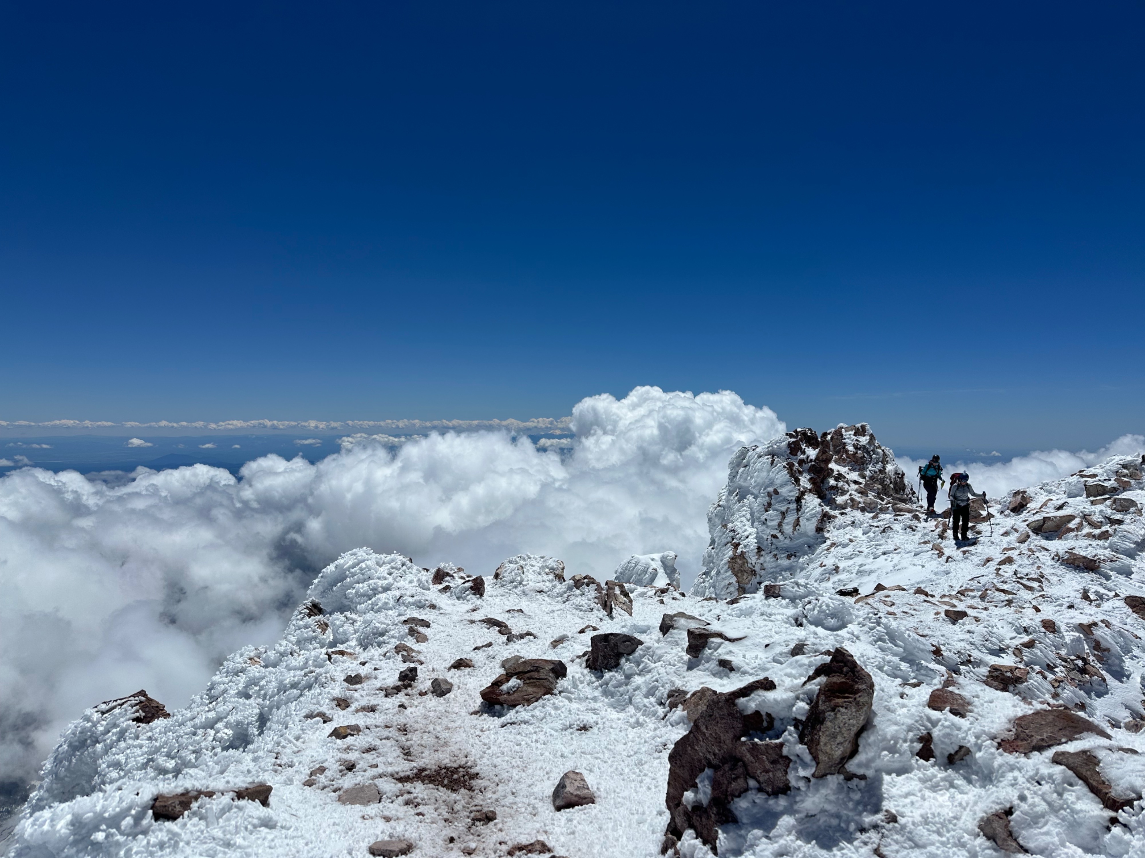
- Slick rocks are present on the route after last week's storm. Watch your footing, especially on Misery Hill and the summit pinnacle.
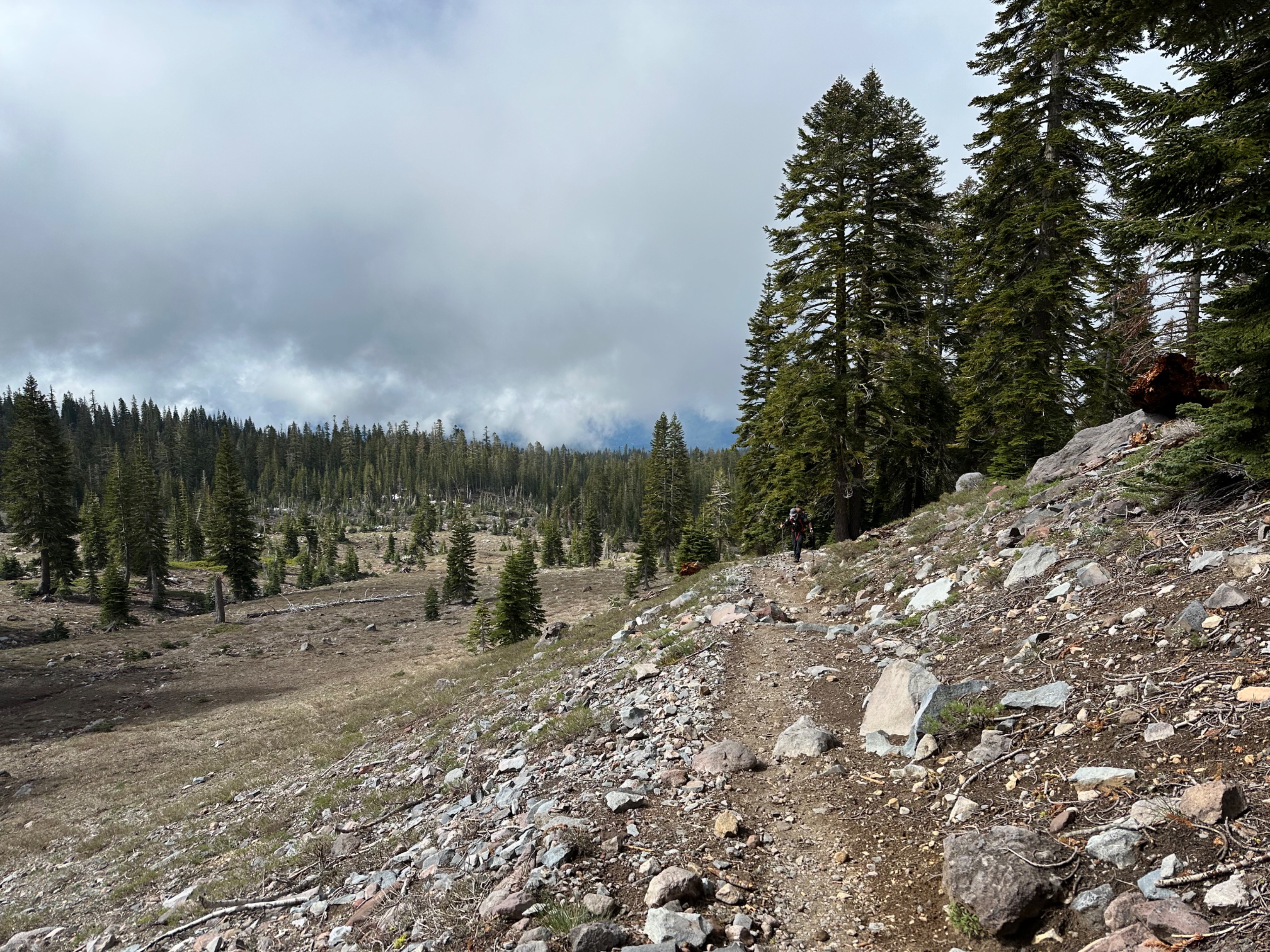
- Running water and bathrooms are available at Horse Camp. There is no running water above Horse Camp - melting snow is the only option for water.
Thank you to everyone last weekend for helping keep Mount Shasta clean! Please do your part to leave no trace - it takes a village.
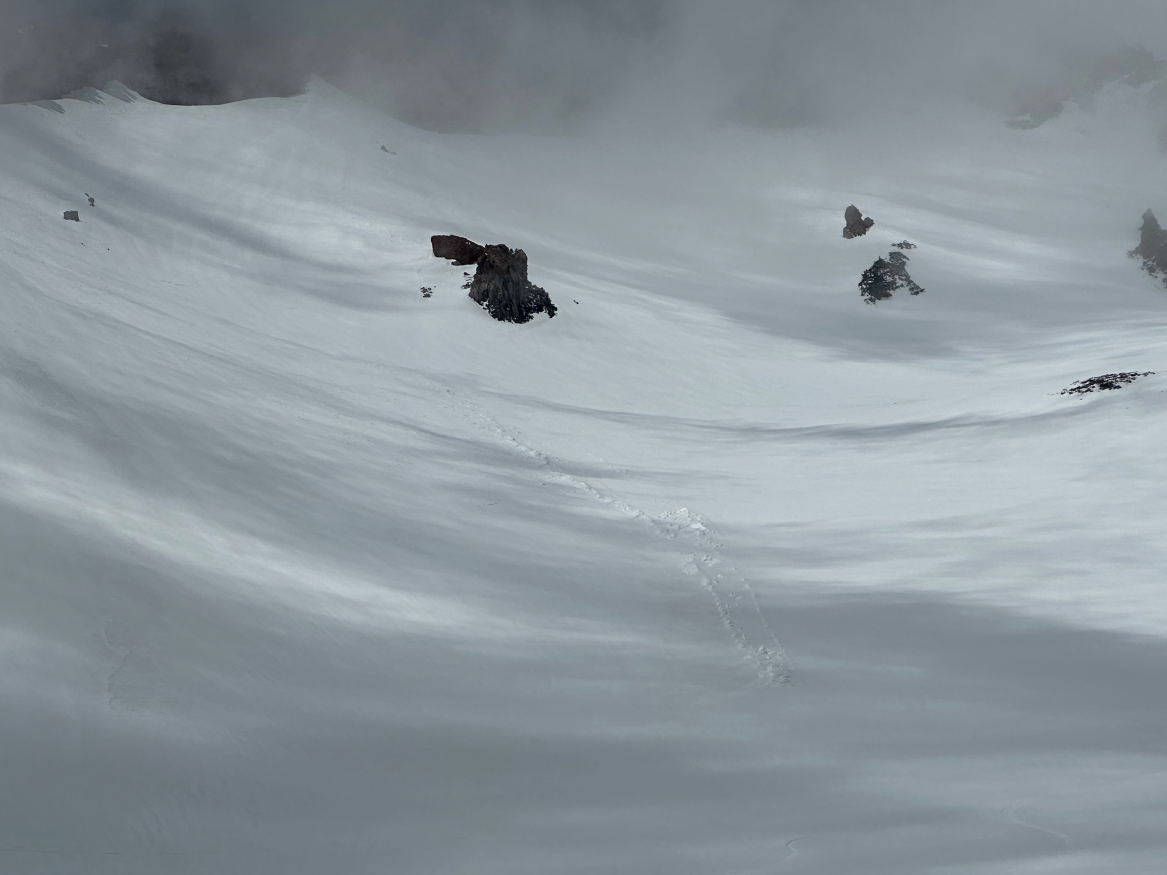
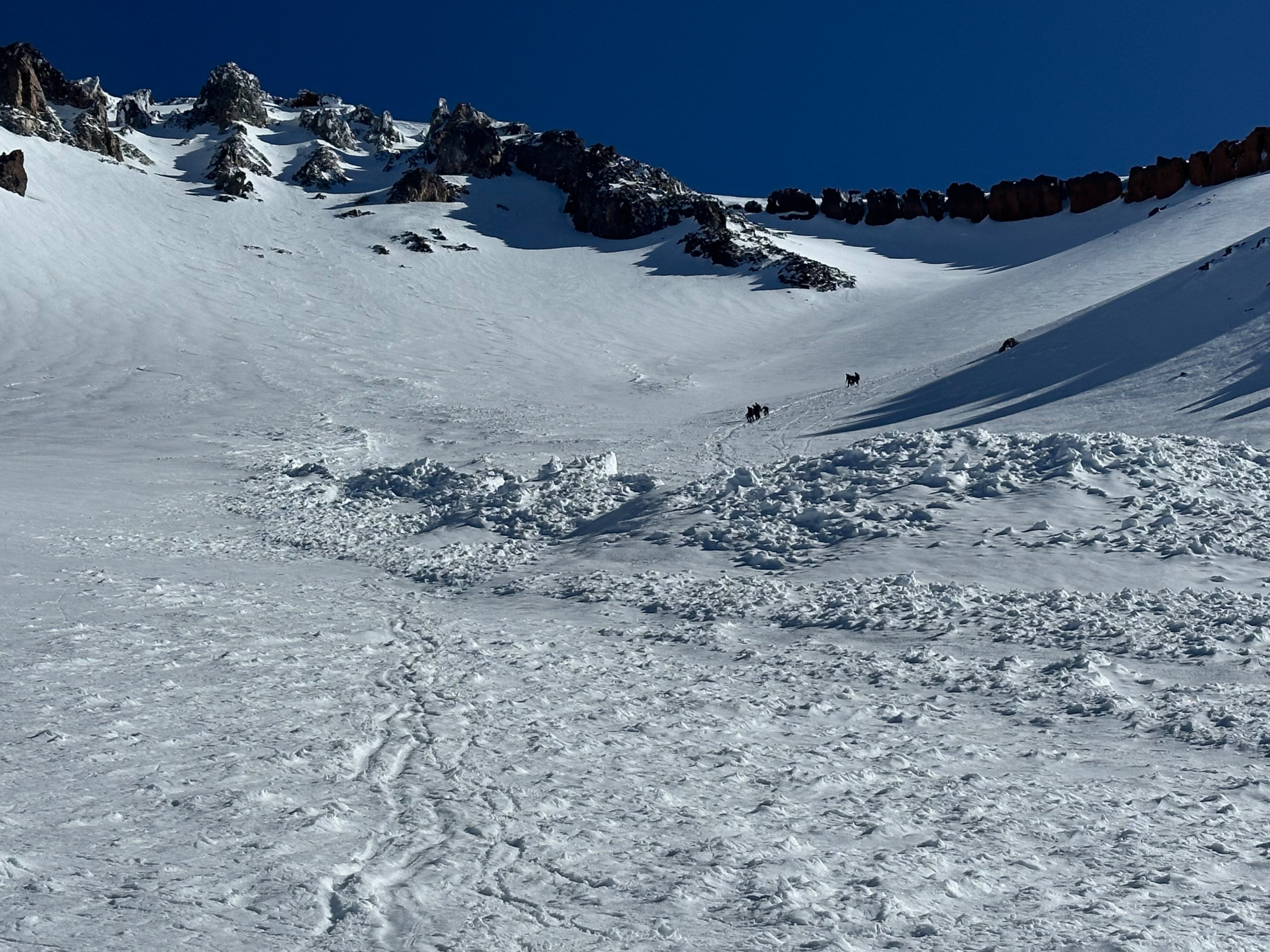
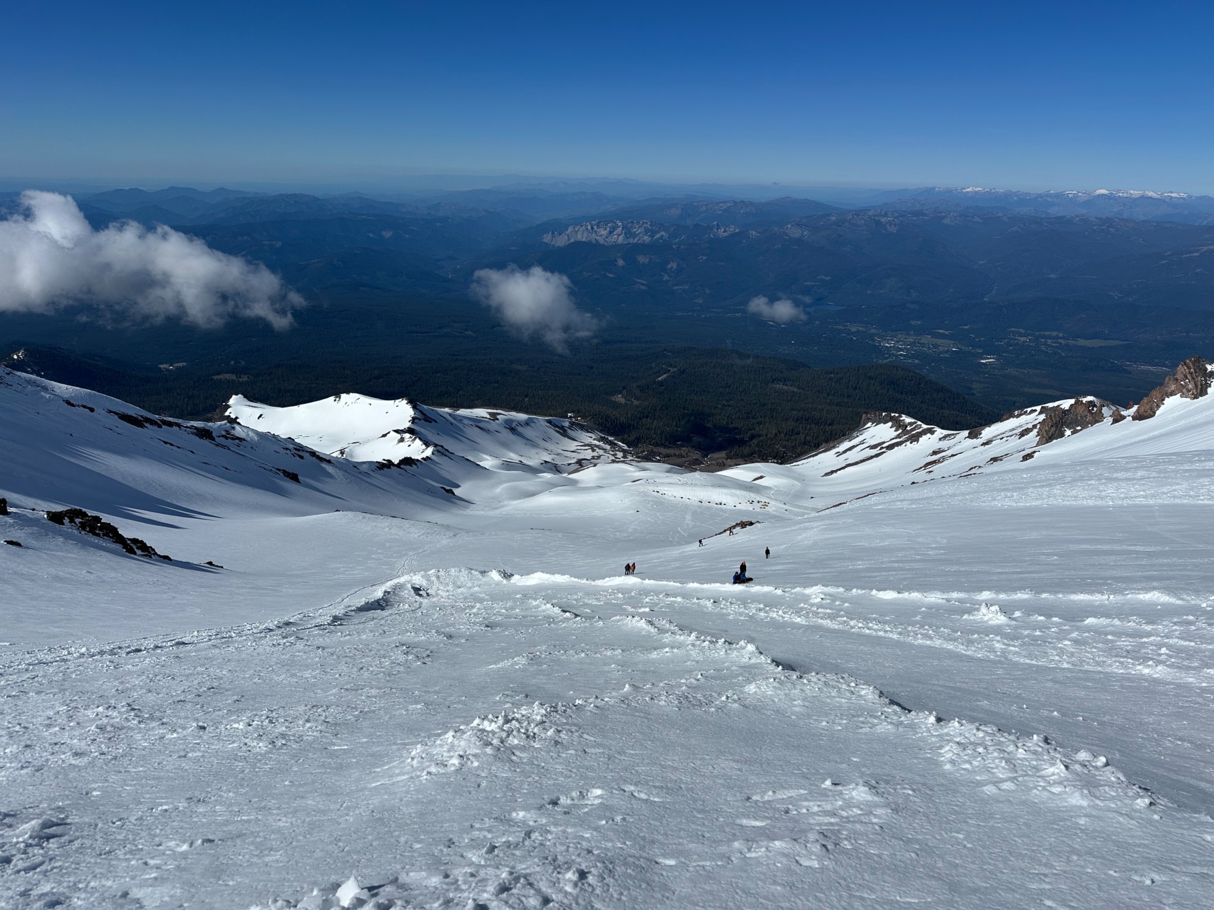
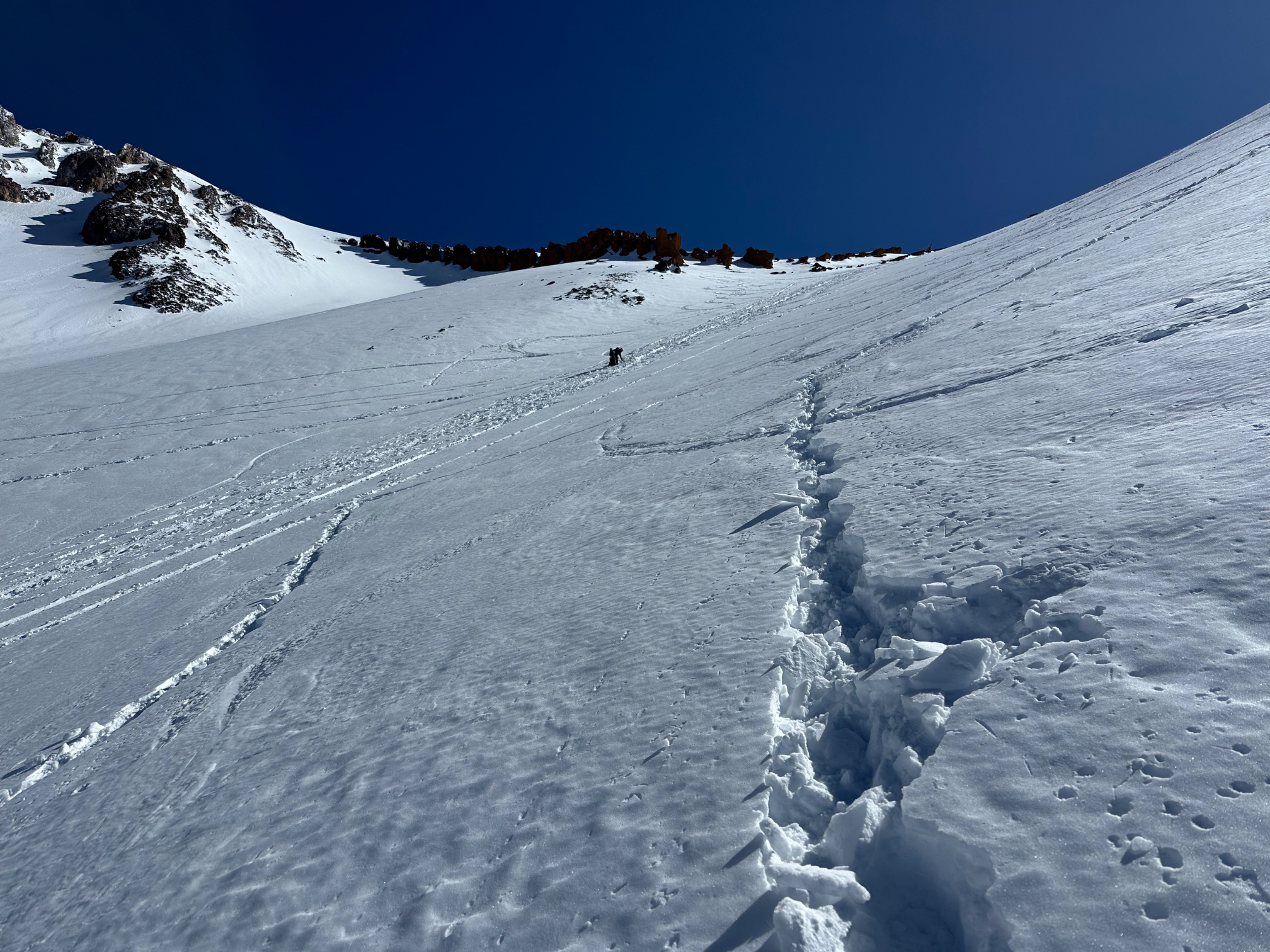
Skier-initiated rollerballs on steep, sunny slopes above 11,000 feet around 1pm on May 31st. The upper snowpack in areas near rock outcroppings was particularly wet and moving towards wet loose territory. Several recent avalanches in the upper Avalanche Gulch/Trinity Chutes area. These most likely released during last week's storm.Weather
- Cloud Cover
- few
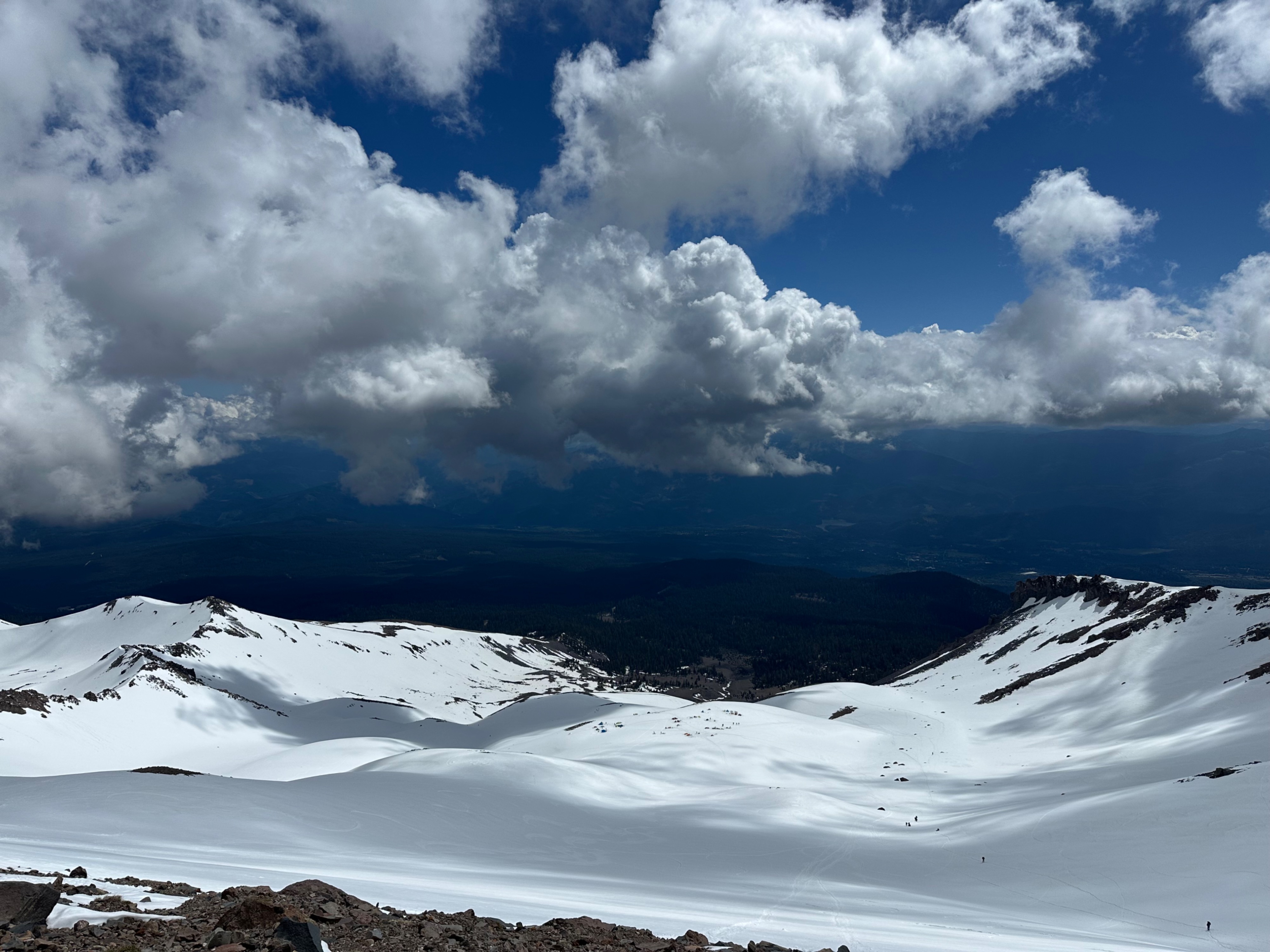
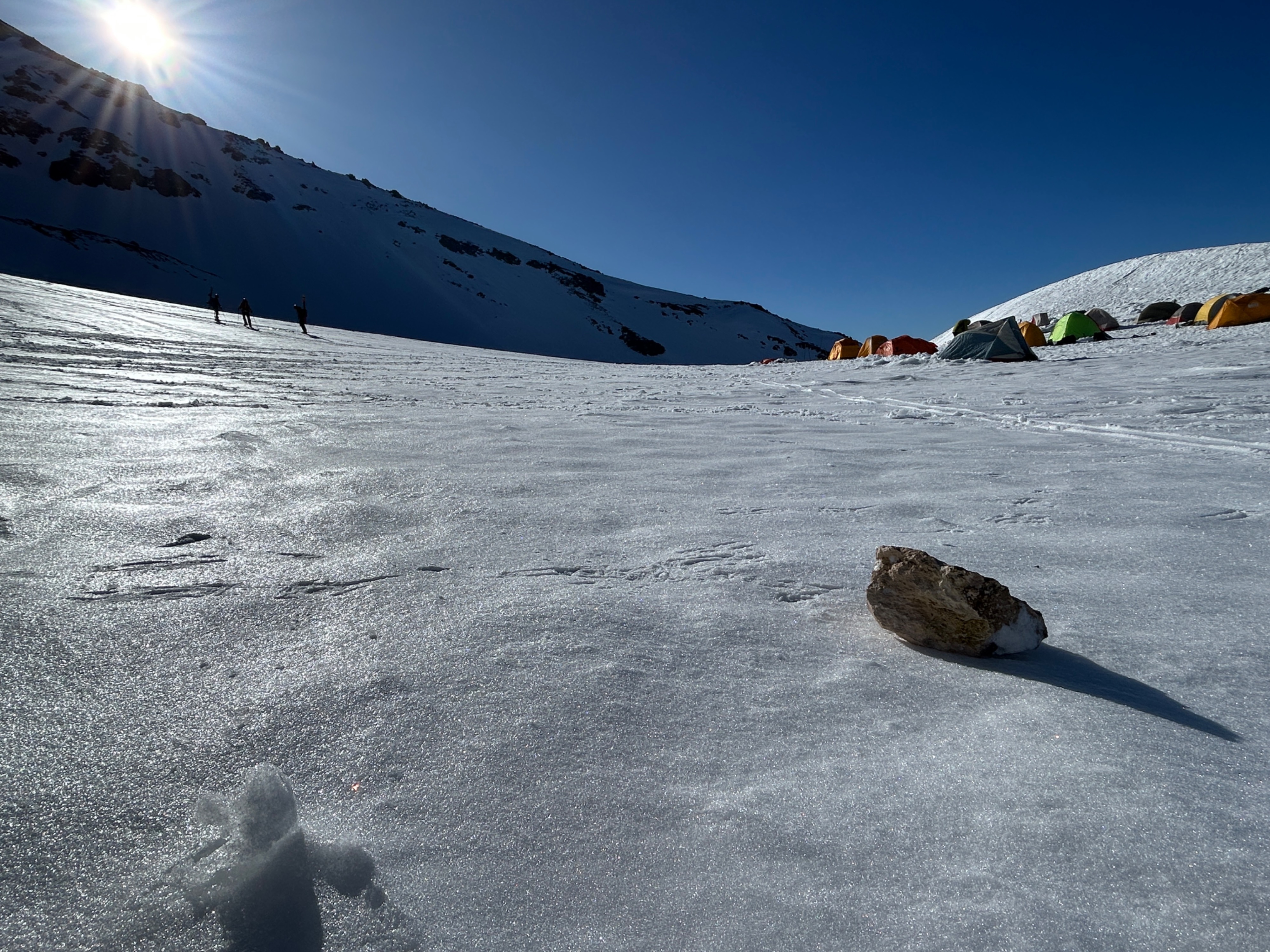
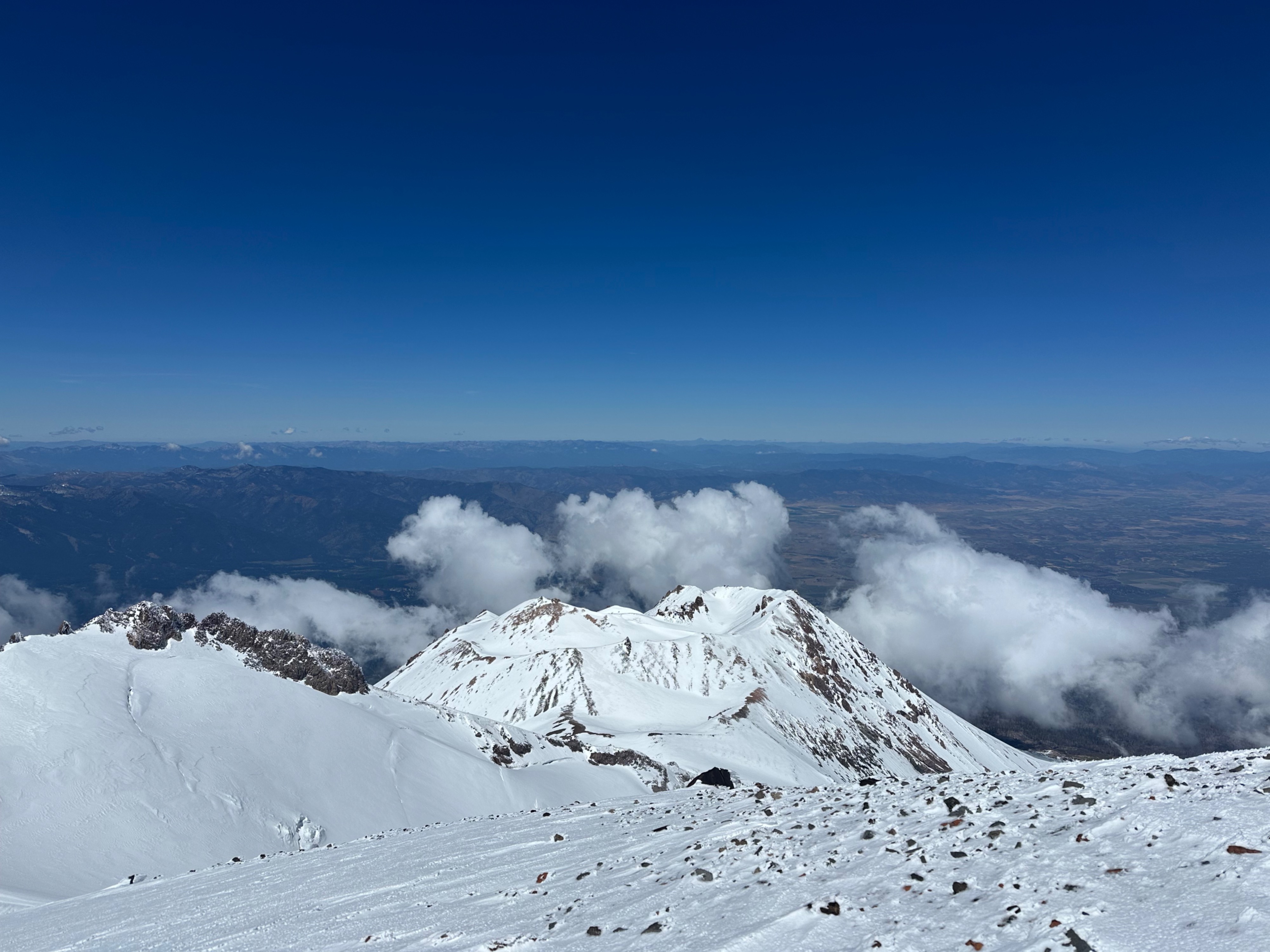
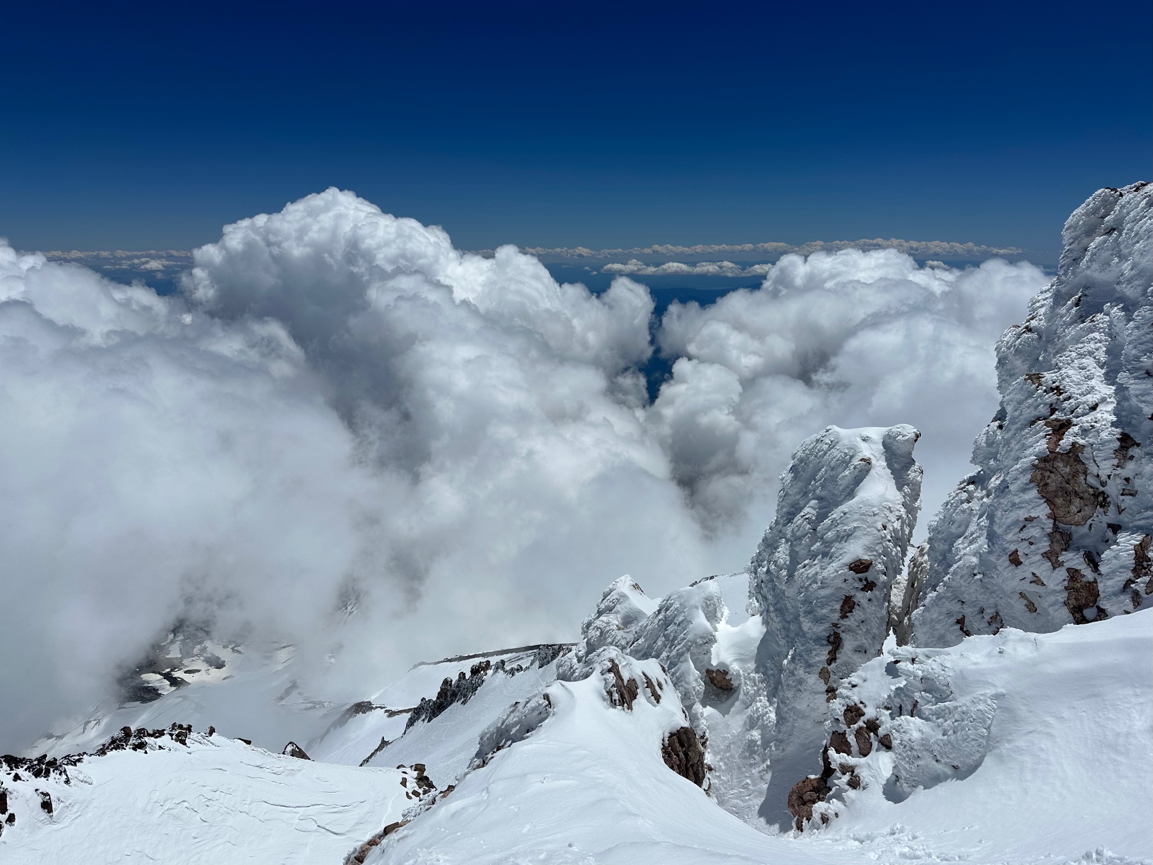
Mostly clear skies and light winds on May 30th and 31st. Periods of clouds both days, including late-morning/early afternoon on the 31st, which occasionally obscured visibility on the upper mountain. Well below-freezing temperatures on Saturday night.
Avalanche
- Size
- D1.5
- Type
- WL
- Count
- 2
- Aspect
- S
- Trigger
- N
- Elevation
- 11600 ft
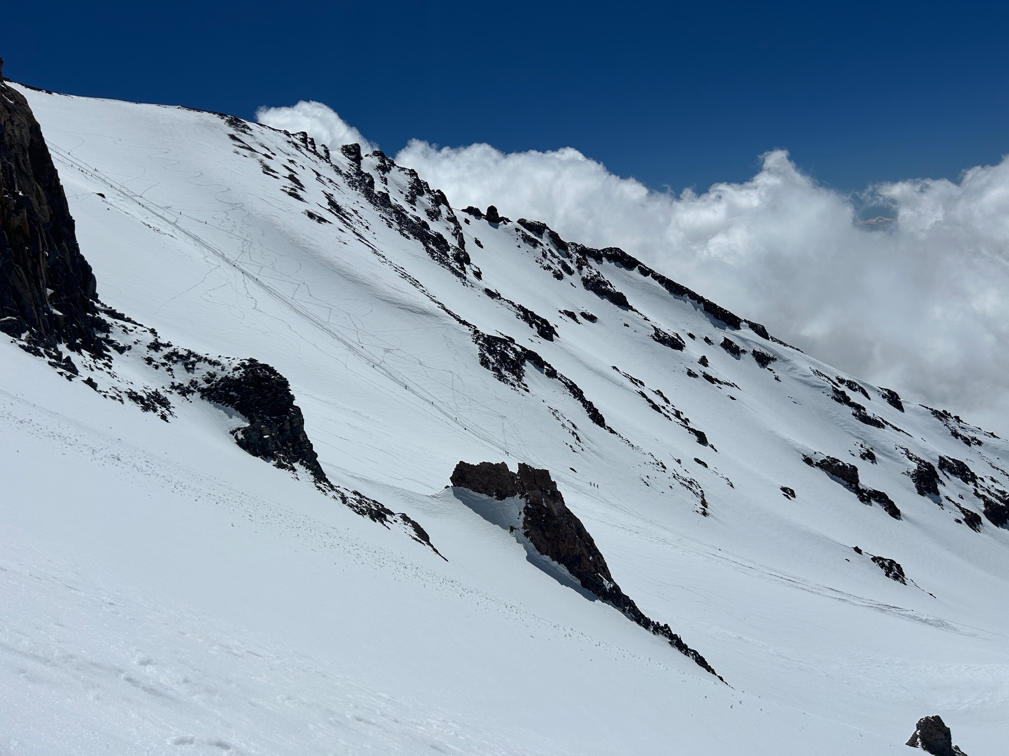
A small (D1.5), natural avalanche off of Casaval Ridge into Avalanche Gulch. Most likely released during the storm on May 28th. South, 11,600 feet.