
Quick report
After several feet of new snow, the mountains look very different than they did a week ago. Many slopes that have been bare for most of the season are blanketed in snow, and avalanche paths below tree line that haven't posed much of a hazard due to the coverage are now filled in with the new snow sitting on a crust. Slight density changes in the new snow have created inverted slabs, although there is a notable amount of settlement taking place.
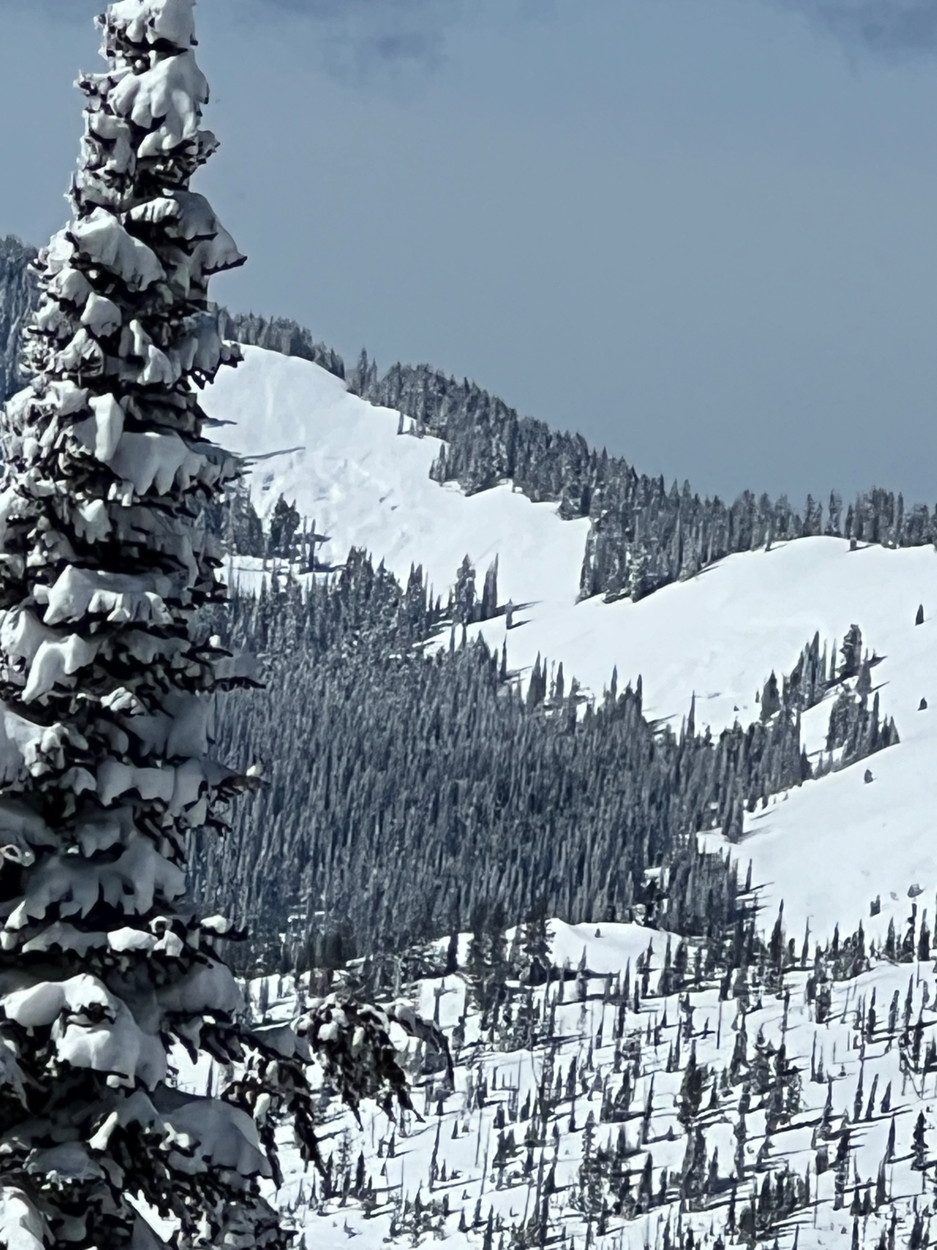
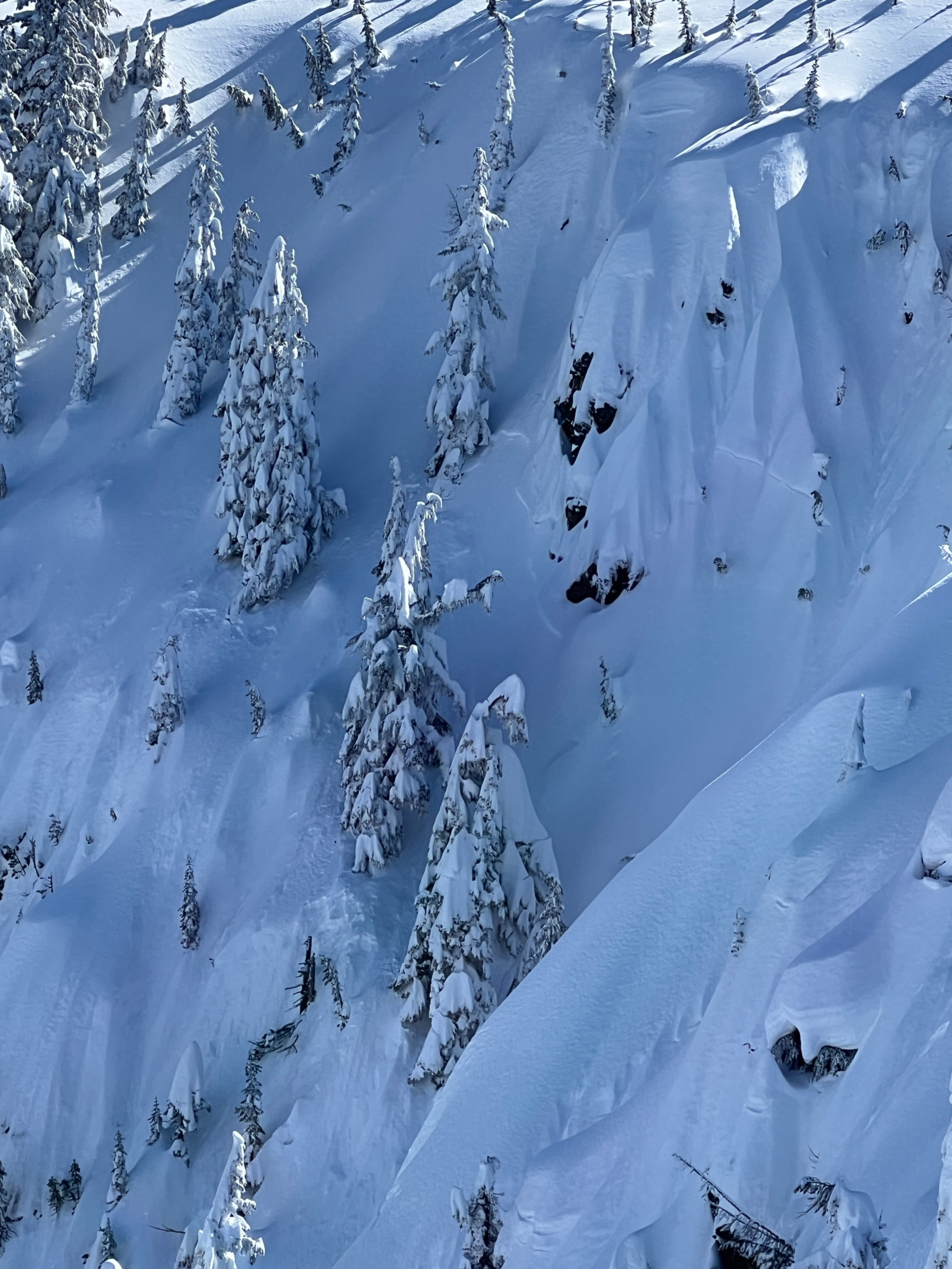
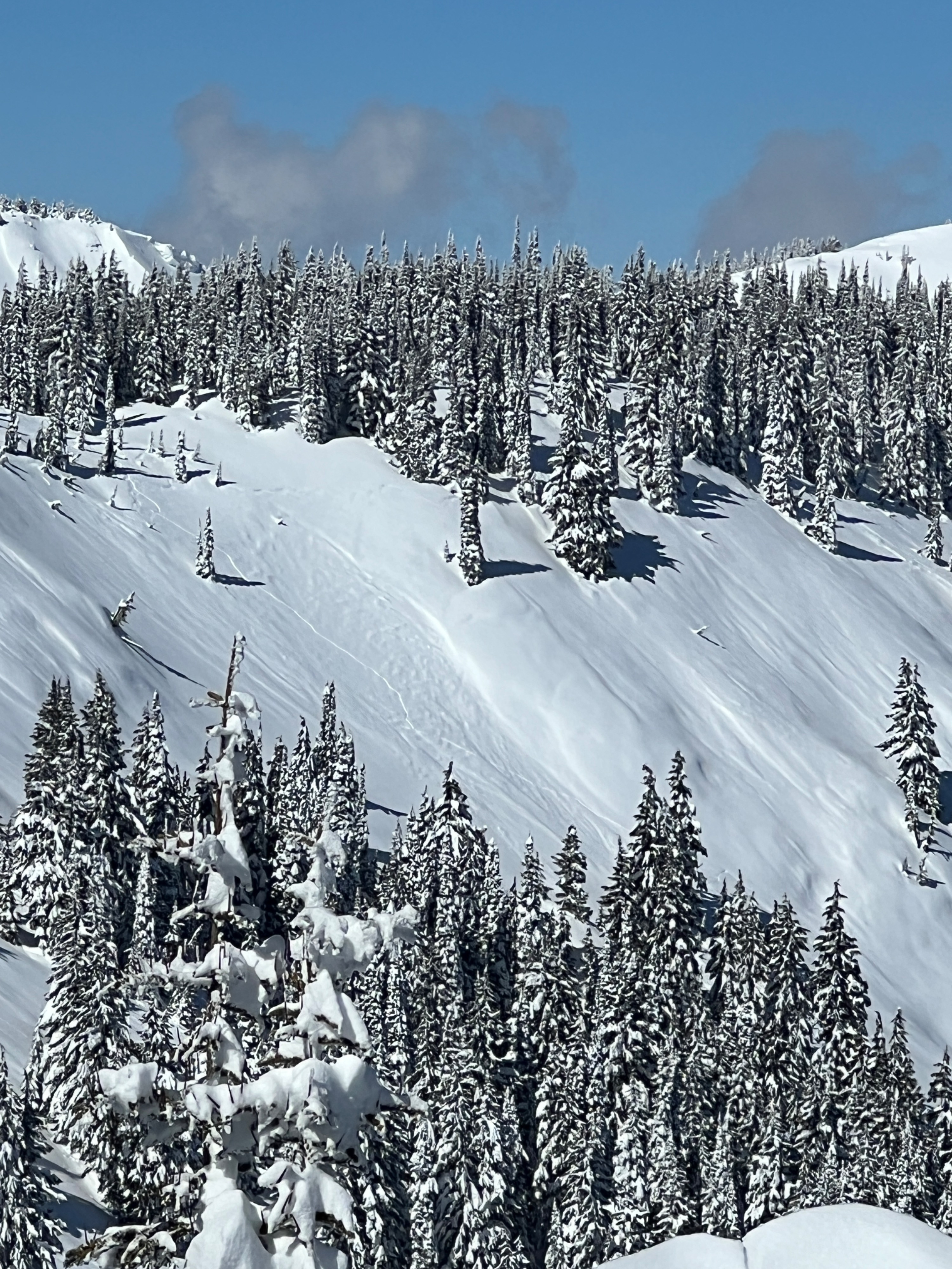
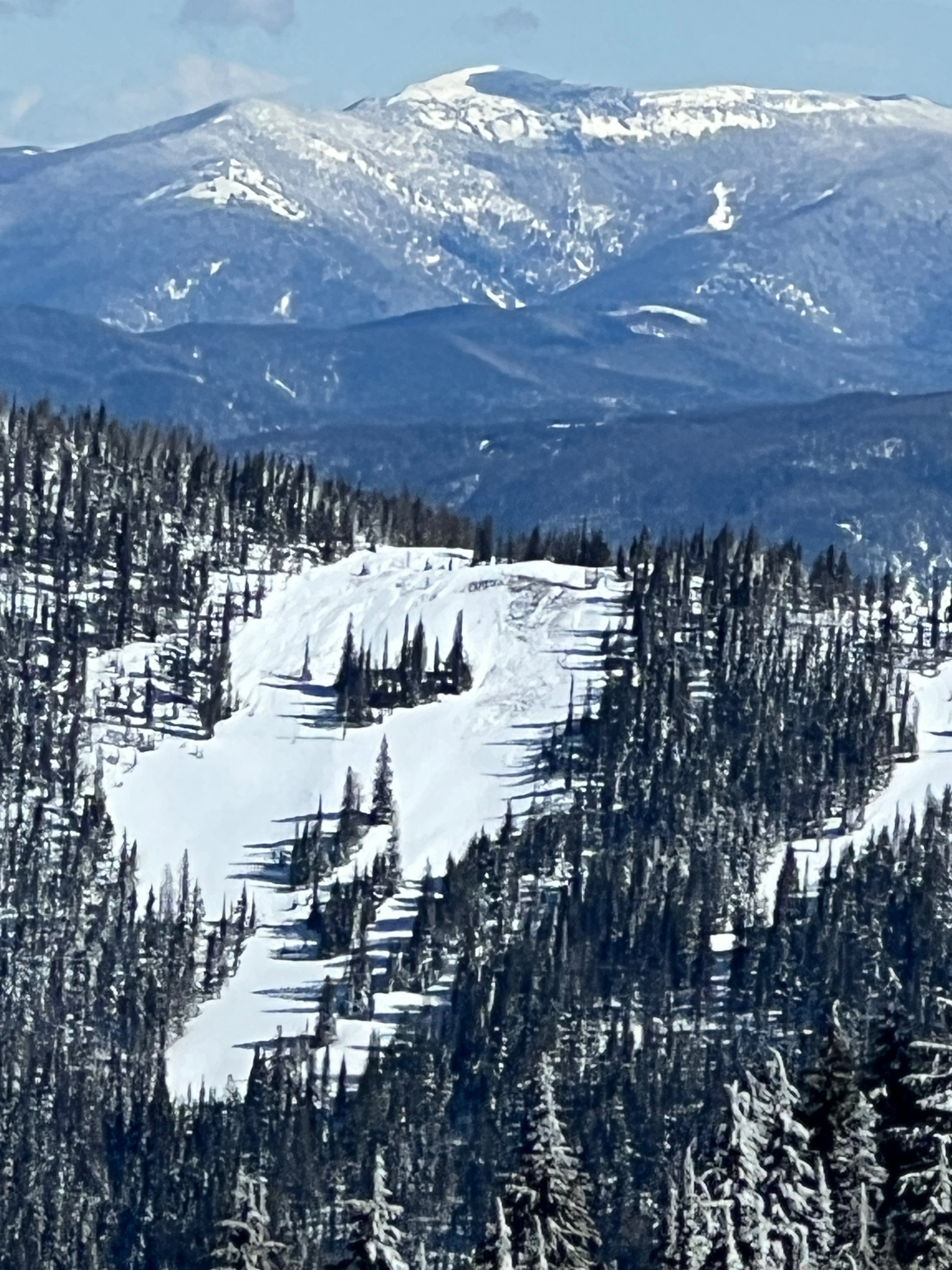
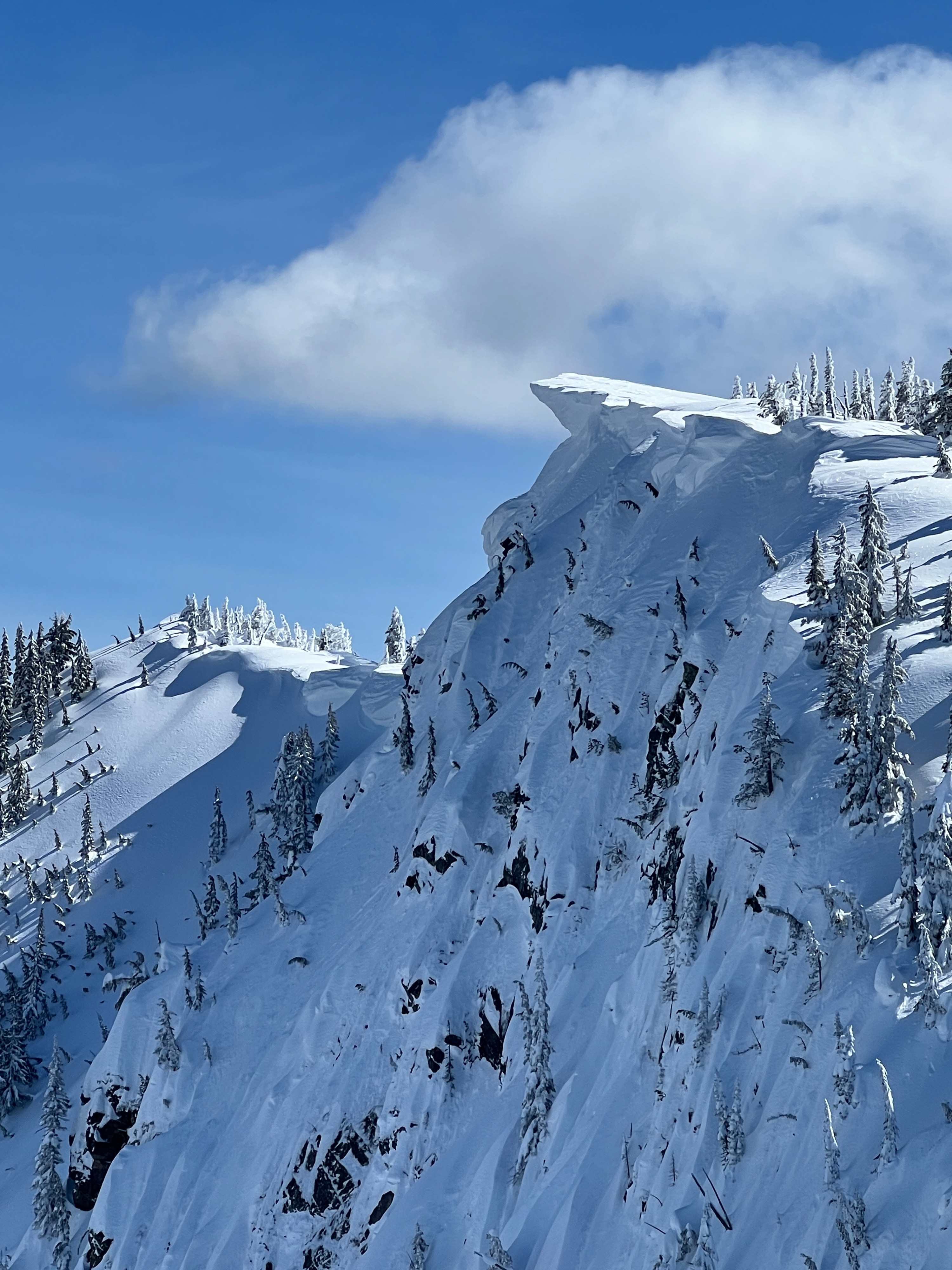
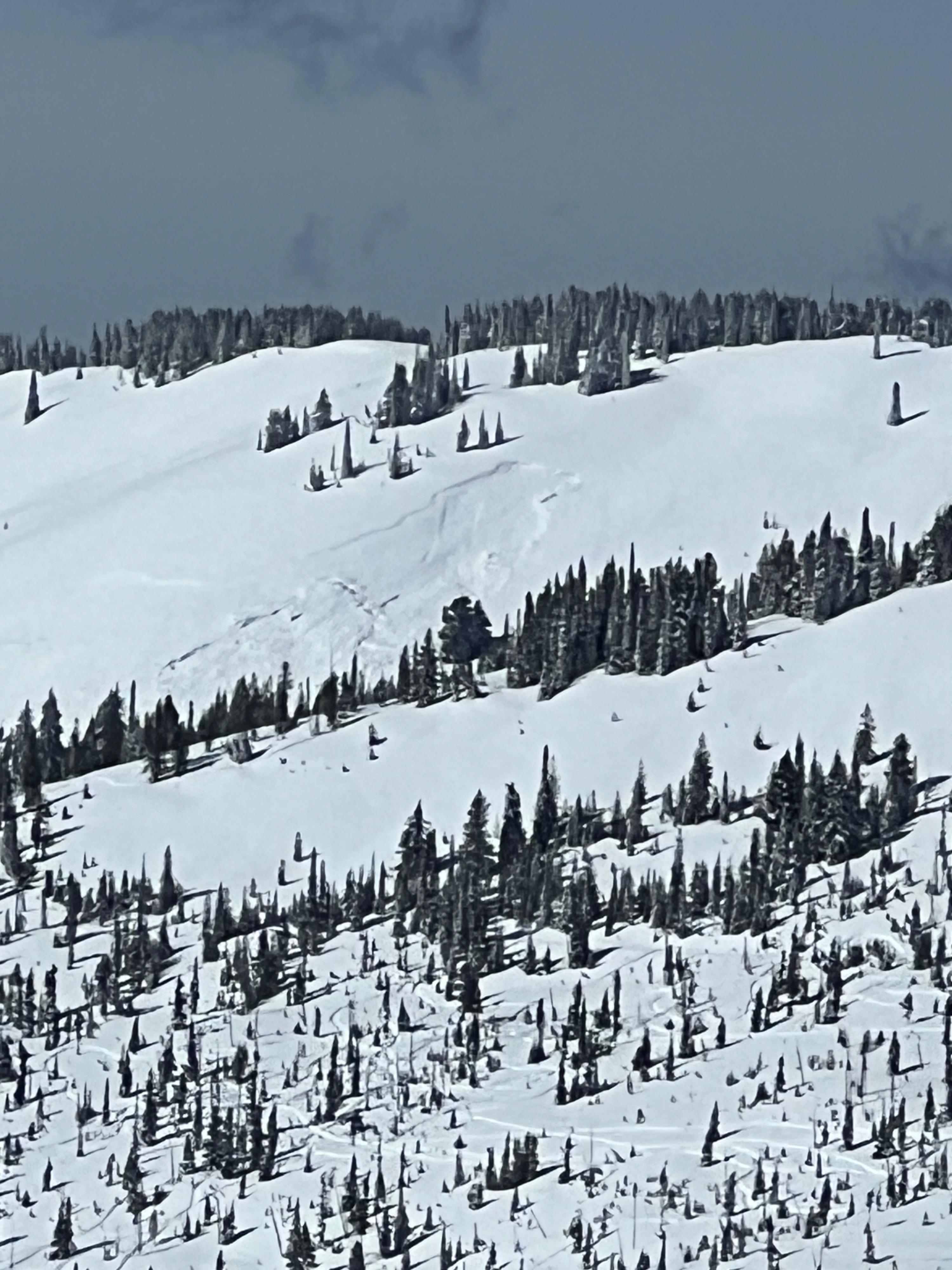
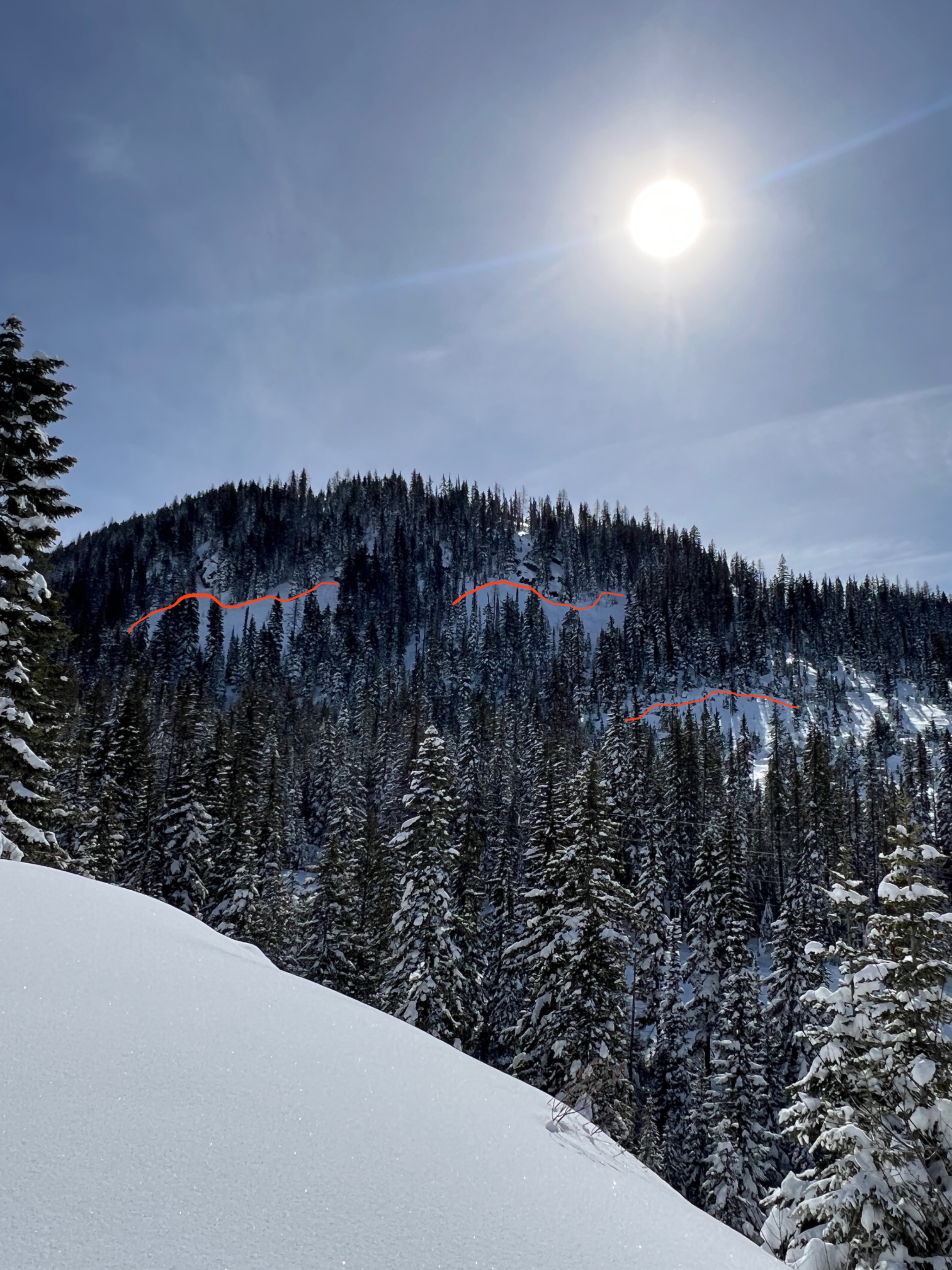
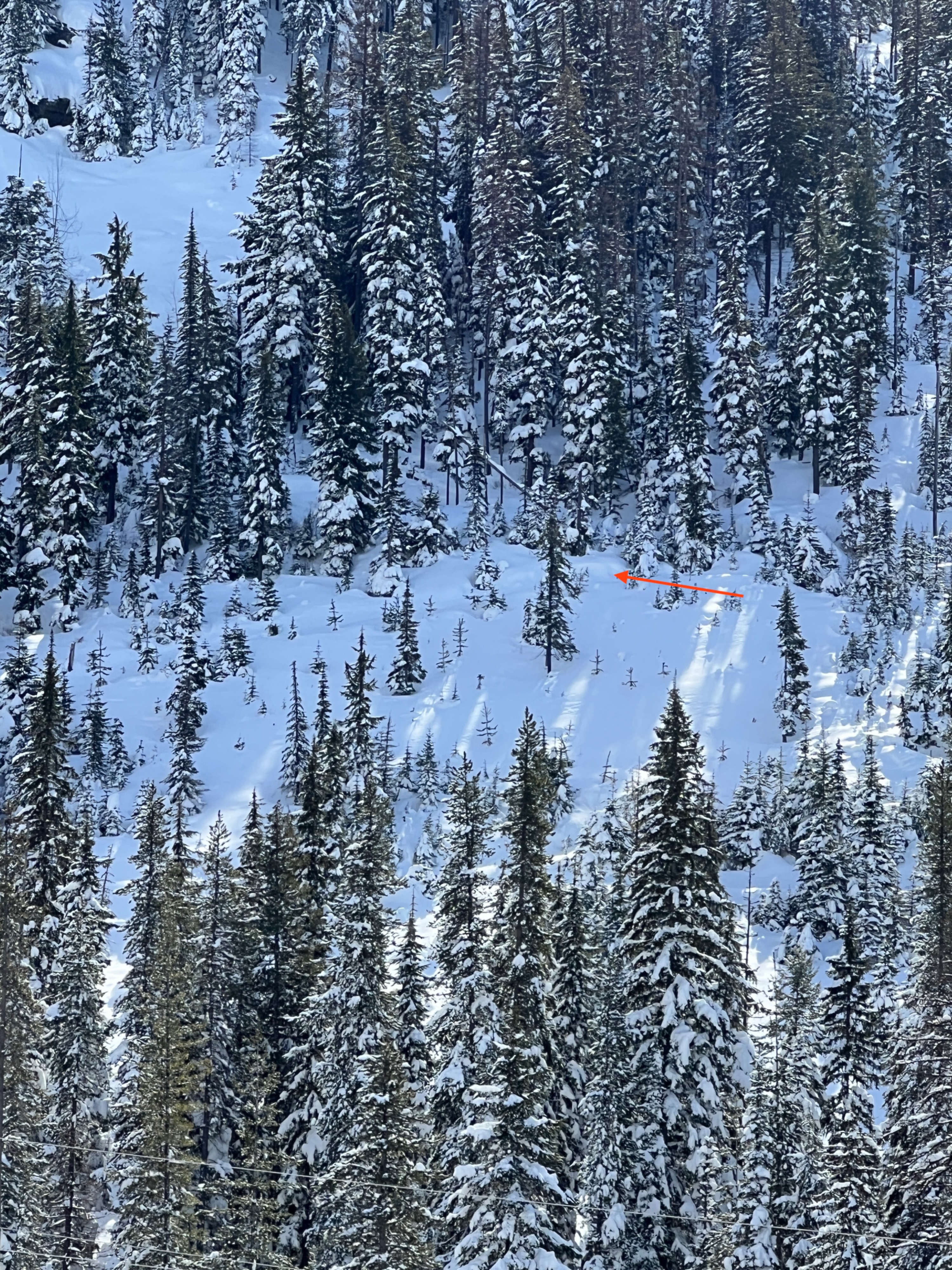
Good visibility allowed us to observe many Storm Slab avalanches that likely ran sometime around Friday (March 13). Steep roads cuts, open slopes below ridgelines, steep terrain traps and cliff bands were all common places to spot old crowns. The crown lines have since been partially filled in by more snow and wind.
Signs of instability have decreased since the peak of the avalanche cycle. Isolated cracking between ski cuts, but none extended beyond skis.Weather
- Cloud Cover
- scattered
- Wind Loading
- moderate
- Rain Elevation
- Not Observed
- Recent Snowfall
- 45-70
- Snow Avail For Transport
- large amounts
Temperatures were chilly in the morning and slowly increased to the low 20s Fahrenheit by the afternoon. The day began with mostly sunny skies and scattered clouds. Around 1600, dark skies were on the horizon, and cloud cover had progressed to broken cloud cover.
Snowpack
In the wake of the most significant winter storm of the season, we found 2 to 3 feet of new snow above tree line and at below tree line elevations. Settlement cones around trees indicated that the new slab has been consolidating. On a west-facing aspect at 6,500', the new snow amounted to 53cm. We dug a pit on this slope, and it was open and exposed to the wind. There was evidence of recent strong winds from the west and northwest that had left a textured surface and stripped some of the recent snow.
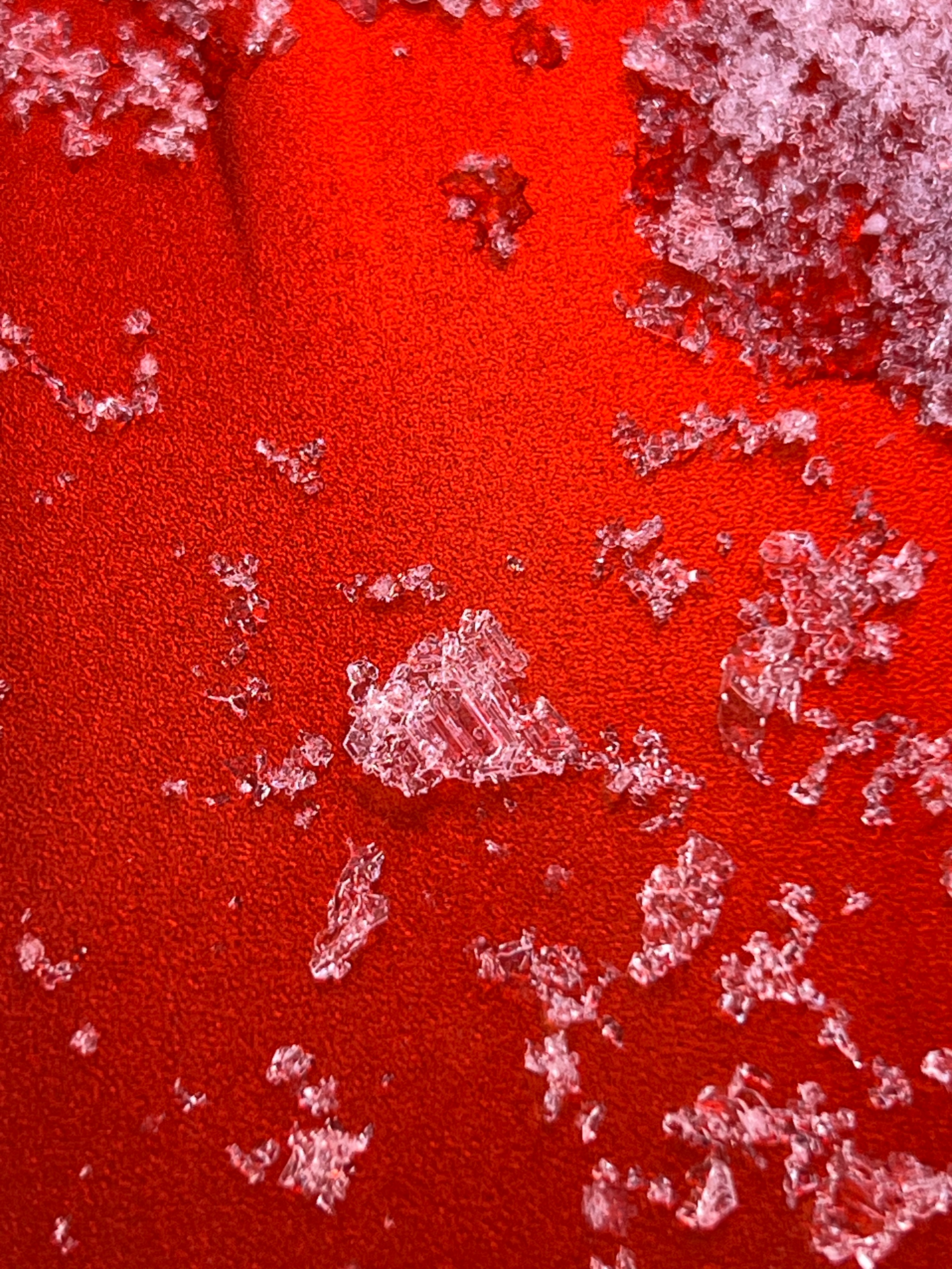
There were a couple of density changes in the new snow, with layers of slightly firmer snow sitting over softer layers. Rain lines on Wednesday night (3/11) increased rapidly and extended into above tree line elevations. We found this new crust in our pit, which was 1 to 2cm thick and knife-hard. We got a propagating result on the top of the crust, ECTP21. There was a layer of much weaker, softer snow sitting below this crust. Under the presence of colder temperatures, the new snow has been faceting, and near surface facets were observed in the upper snowpack.
We had a number of CT results, which failed with easy to moderate force in the new snow at two different layers of near-surface facets, 12cm and 29cm down. We found the 2/14 surface hoar to be rounding, but still some large (6-10+mm) intact. We did not find the 1/28 SH layer, but in its place were large faceting weak grains. The 2/14 SH and faceted grains at 1/28 failed with hard force.
Over the course of the day, lower elevations had warmed up just enough for a very thin and brittle surface crust to form as we made our descent in the evening.
Avalanche
- Size
- D1
- Type
- SS
- Count
- 4
- Aspect
- NE
- Trigger
- N
- Elevation
- 6500 ft
Many steep slopes had evidence of crowns that had since been partially filled in. Most avalanches likely ran sometime around Friday. Steep roads cuts, and large open slopes below ridgelines were common places to see avalanche activity. We observed an estimated dozen or more avalanches from this cycle.