
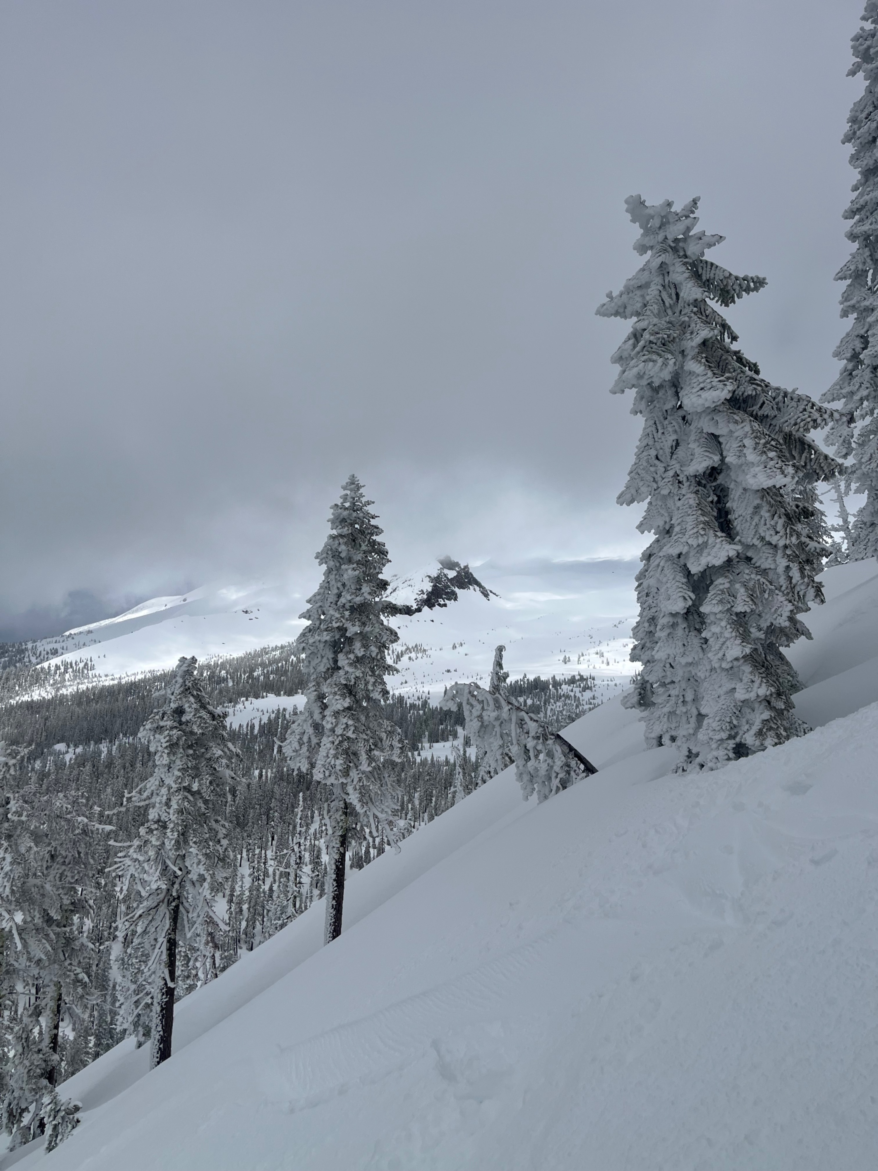
Quick report
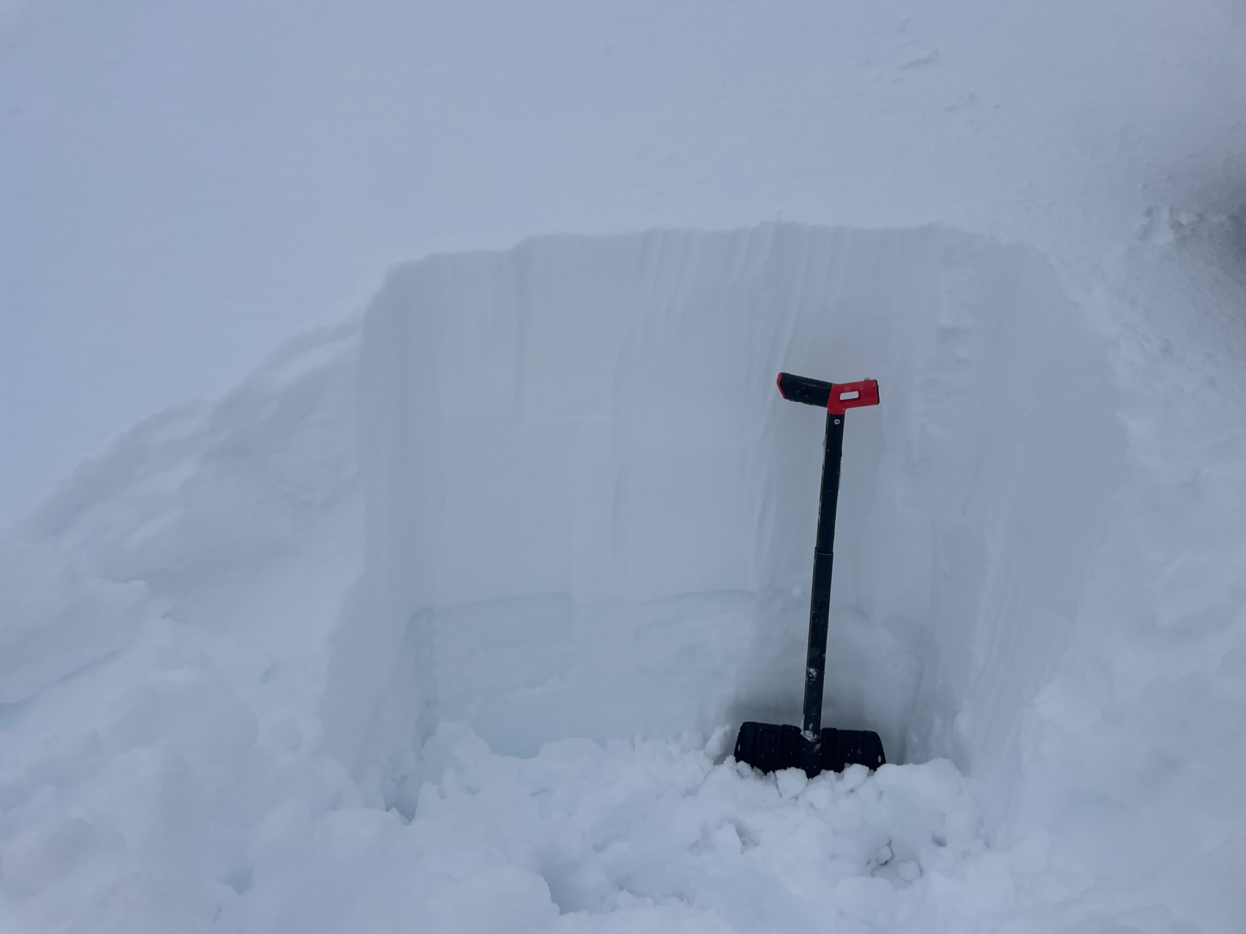
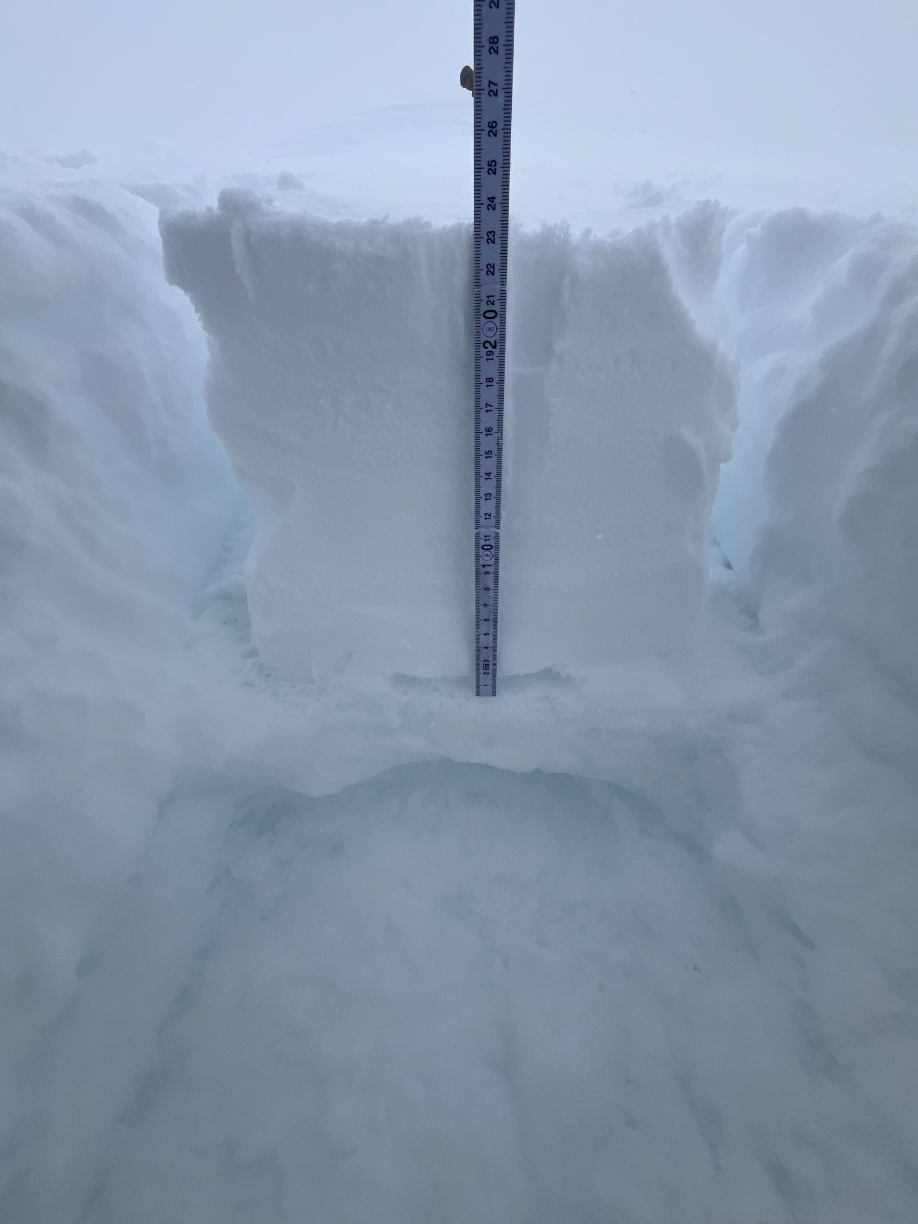
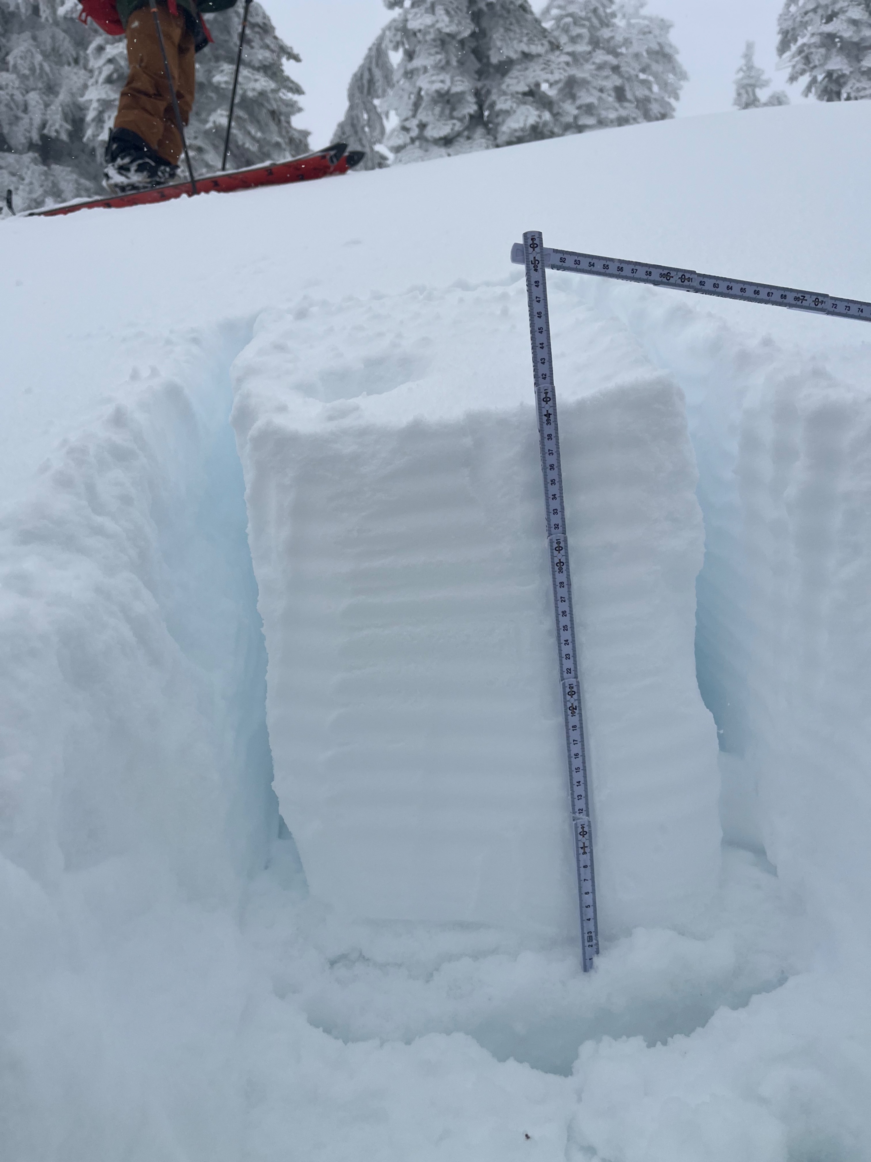
The recent snow is bonding well to the old snow interface: a melt-freeze crust that is not yet fully frozen and is five to 15 centimeters thick. The new snow depths vary depending on aspect but average out to 35 centimeters. Windward aspects measured 20 to 30 centimeters, while leeward, wind-loaded aspects measured 40 to 55 centimeters.
We found no layers of concern in three different snow pits near 8,000 feet on northwest and south aspects. There was a fracture of moderate sensitivity within the new snow, yet extended column tests produced no sign of propagation. Hand pits at all locations revealed a similar snow structure of soft to firm snow down to the melt-freeze crust.
With skies clearing tomorrow and warmer temperatures in the forecast, we expect the new snow to continue this bonding trend to the old interface, reducing the prevalence of new snow instabilities within the snowpack.
The only sign of instability we observed were roller balls on a west aspect below treeline.Weather
- Air Temp
- 25-32
- Cloud Cover
- obscured
- Wind Loading
- light
- Rain Elevation
- 4,900
- Recent Snowfall
- 35
- Snow Avail For Transport
- small smounts
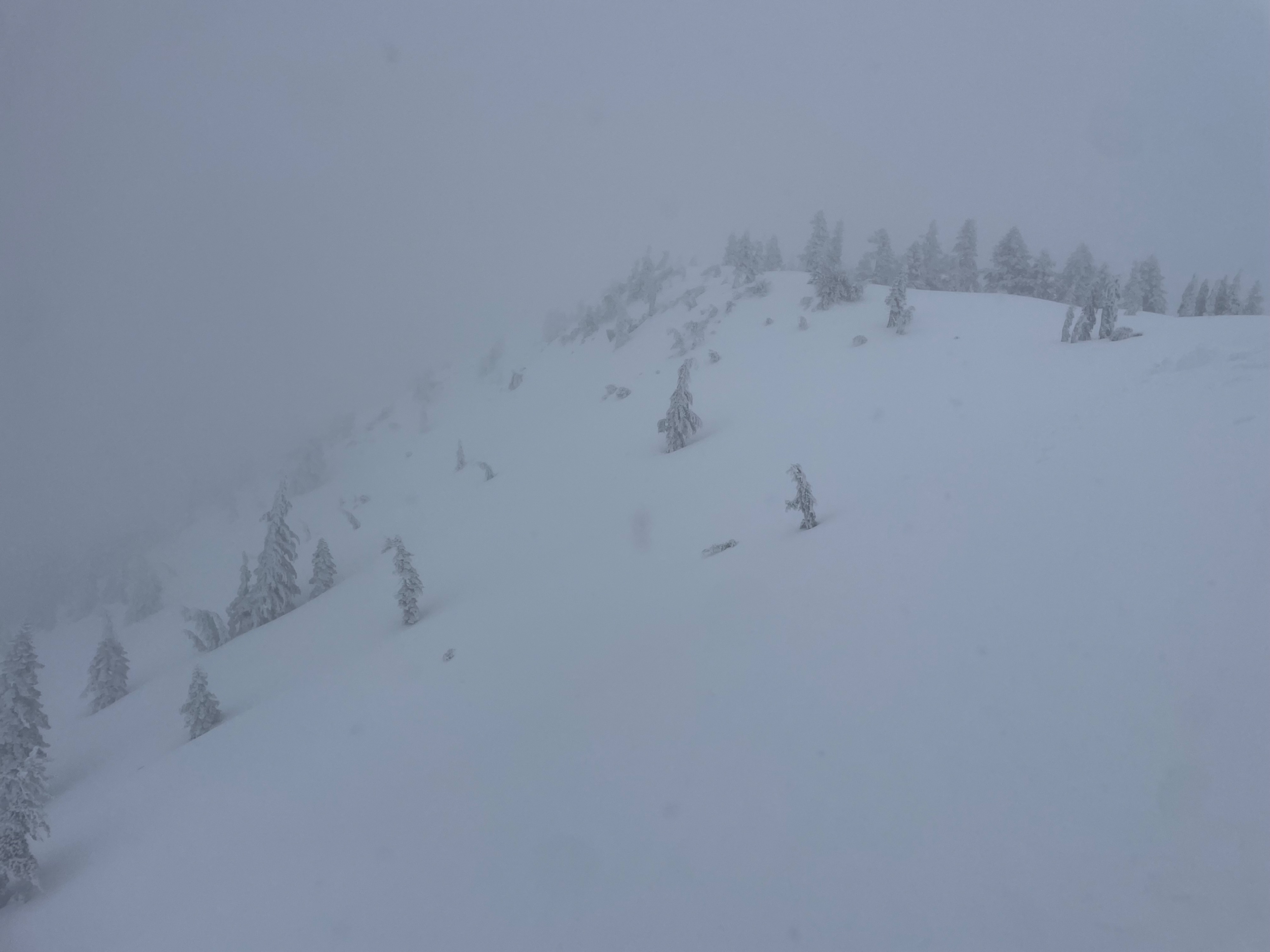
Snow showers and lingering clouds mostly hid today's skies, while brief periods of sunshine produced greenhouse warming conditions. Westerly winds blew light with moderate gusts. Warmer temperatures have helped the new snow to adhere to the surface, and it is not readily available for transport below and near treeline.