
Quick report
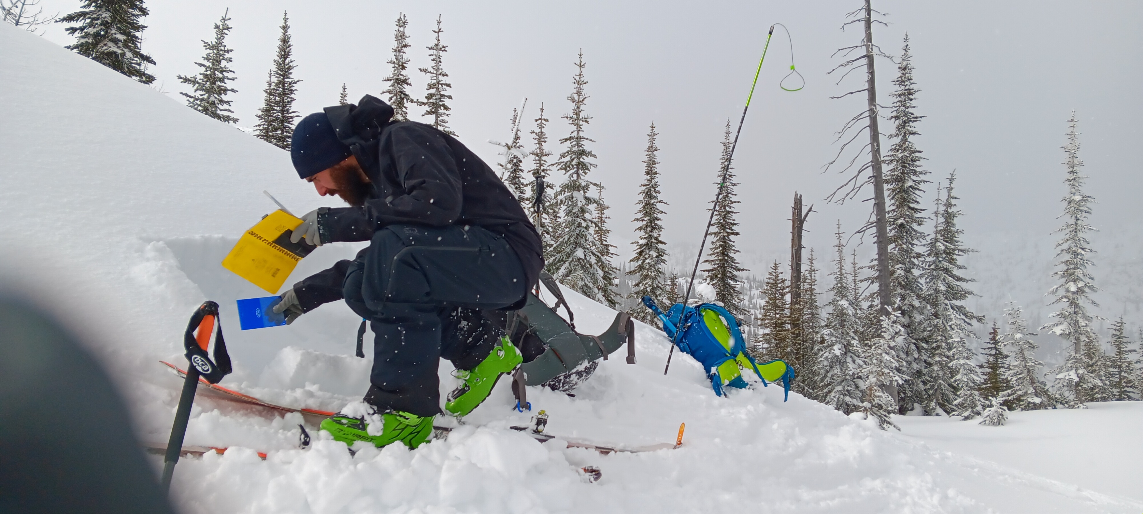
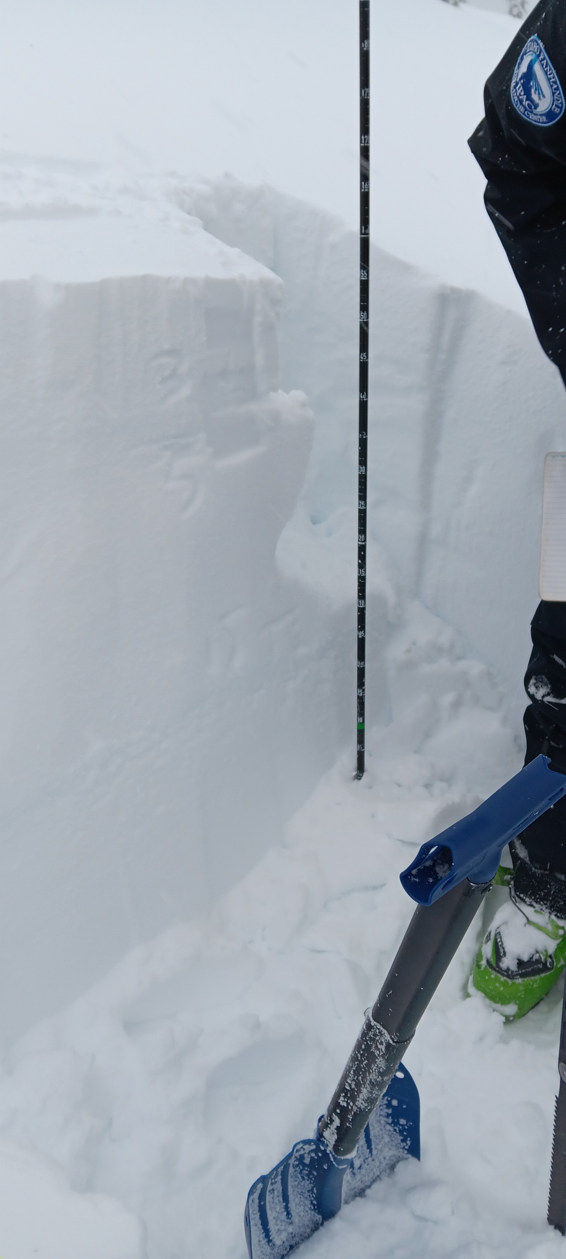
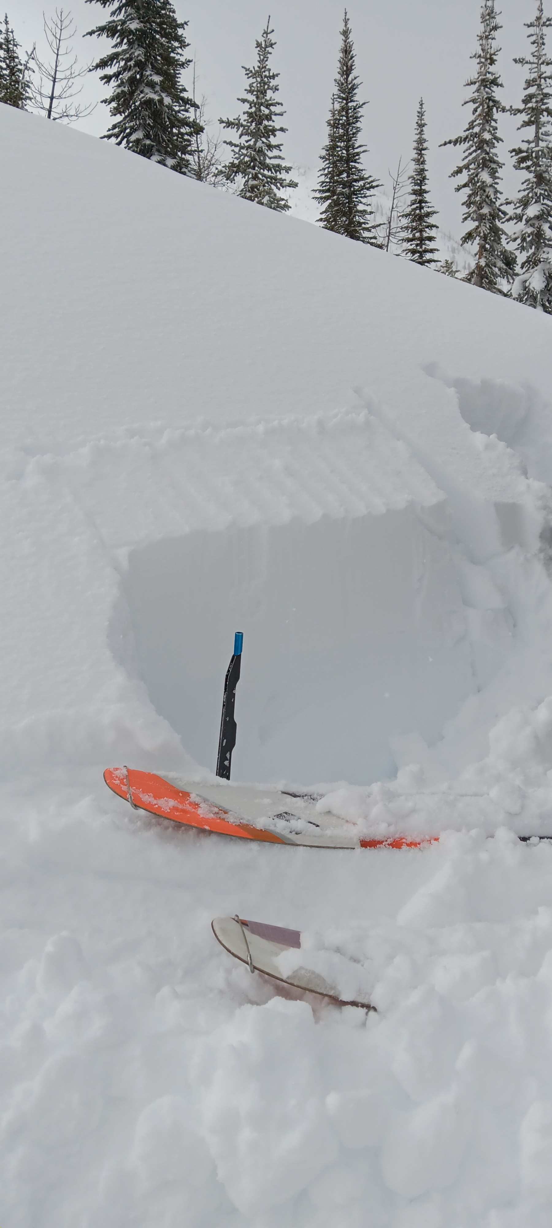
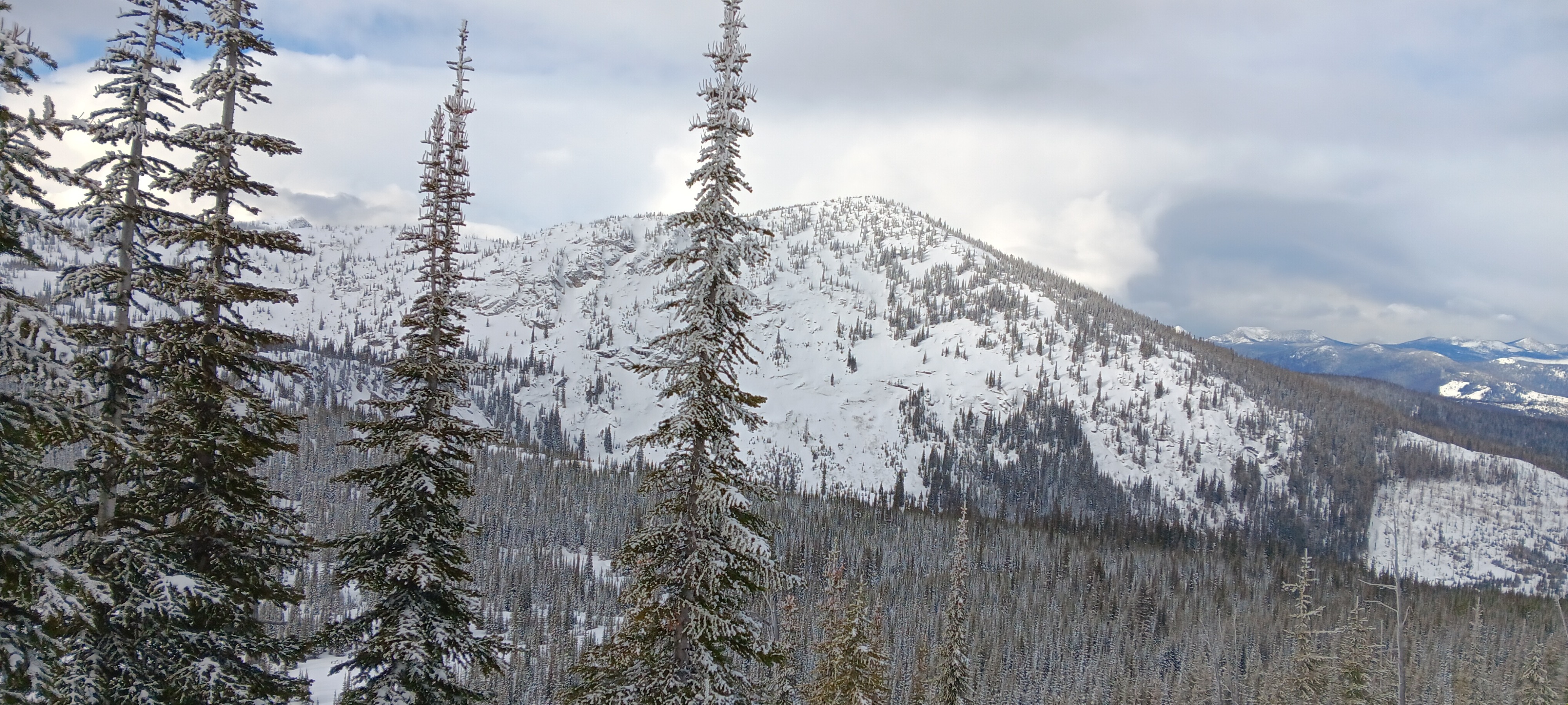
We did not see any signs of natural avalanches, nor instabilities while traveling up along the ridge. Windloading was variable; gusty winds the past few days have varied in direction, and were shifting frequently today while we were out. In some places there was a crust just 10-20 cm down, and in others, newer snow down to the Feb 3 crust. ECT tests varied greatly by aspect and location - generally had an ~ ECTN5 @ 20-30 cm down; in some locations, ECTN11 @~45cm down, on top of Feb 3 crust. Minimal propagation, irregular shearing. Stubborn reactivity along interfaces within the new snow (top 20-30 cm) in tests and on steeper slopes, especially in more wind-loaded areas.
Weather
- Air Temp
- 18
- Cloud Cover
- broken
- Wind Loading
- moderate
- Rain Elevation
- 4300
- Recent Snowfall
- 25
- Snow Avail For Transport
- moderate amounts
Partly sunny and calm in the valley bottom, but as we gained elevation traveling west up along the ridge/bench, still stormy conditions on exposed slopes with the strong, gusty, generally westerly winds and much colder temperatures.
Snowpack
Snow depth 140-240 at higher elevations (6000'+). Depth of newer snow on top of old (Feb 3) crust layer varies, and in some locations (lower elevations/aspects, windscoured spots) there are additional crusts within that newer snow. At higher elevations 6000'+ there are ~60-80 cm newer snow on top of the Feb 3 crust layers; considerably less, with rain crusts included, at the lower elevations.