
Quick report
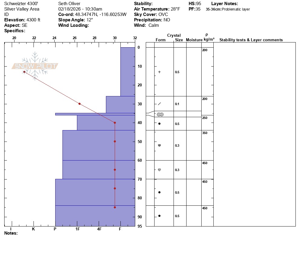
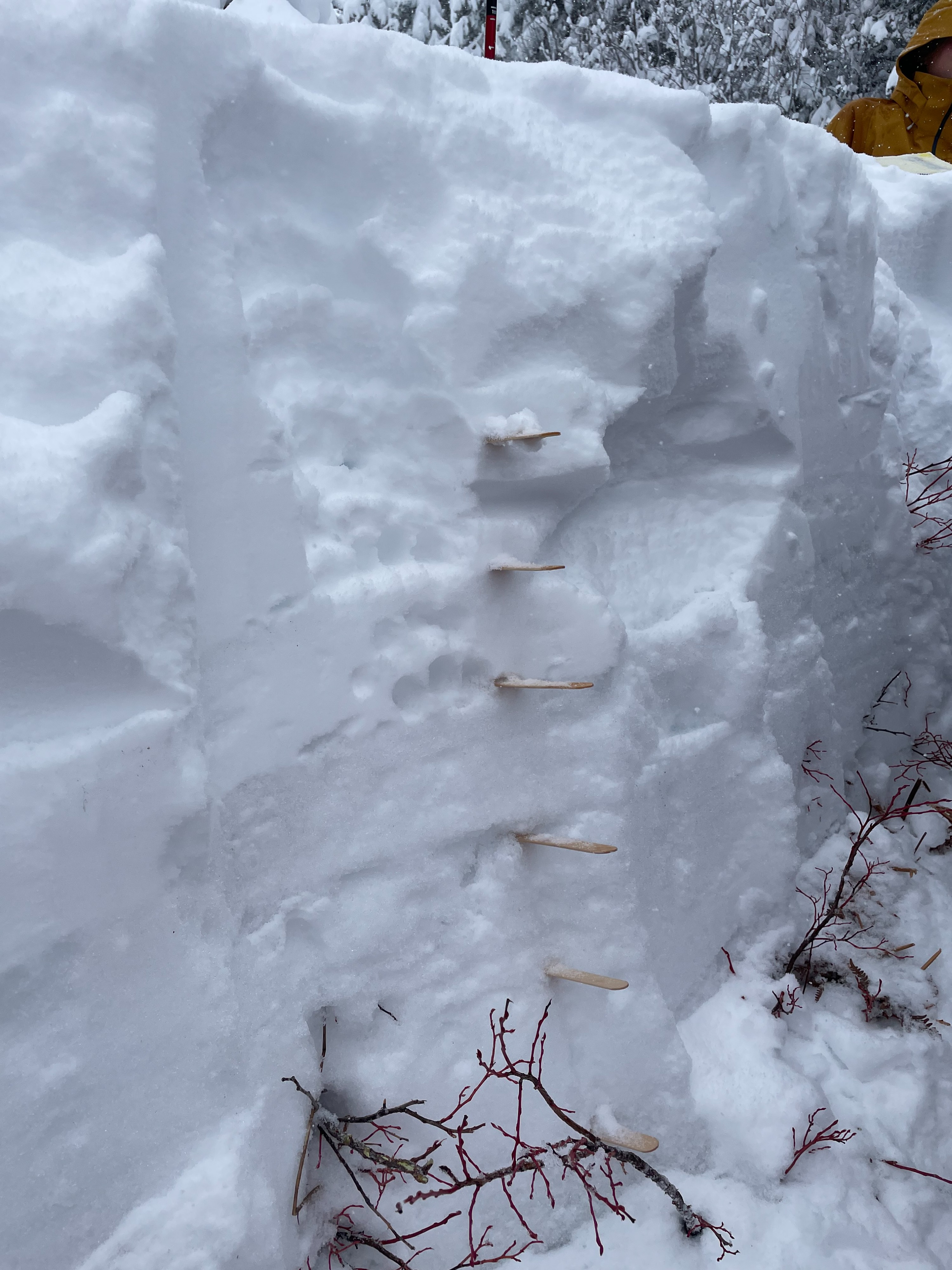
Sandpoint H.S. went out as part of The Confluence Project to dig snow pits, make profiles, and get a detailed Snow Water Equivalent (SWE) measurement. The location was a lower elevation 4300' SE facing slope of 15 degrees. It was overcast and snowing (S-3). The control pit had a total snow depth of 95cm with 7-8 discrete layers. There was 35cm of soft snow above an ice crust that was about 1-2 cm thick at the 35 cm depth interval. Below the ice crust was several discernable layers of P hard snow that gradually increased in density and then stabilized.