
Quick report
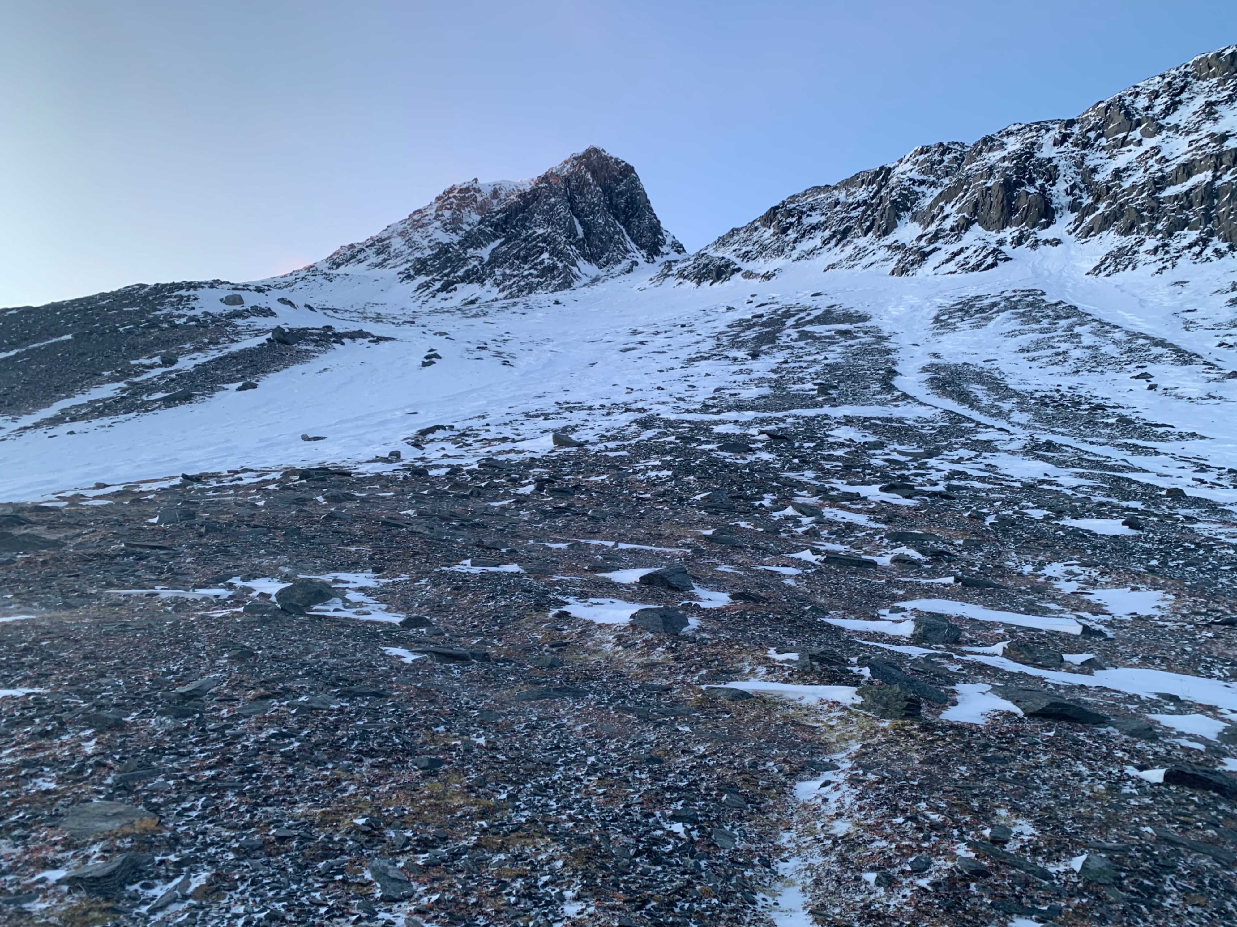
The rain crust below 3000' is faceting away, but is still preventing further gouging into the snowpack by continued strong winds in the majority of locations. Highly exposed areas below 3k are seeing wind break through the rain crust and cause further damage.
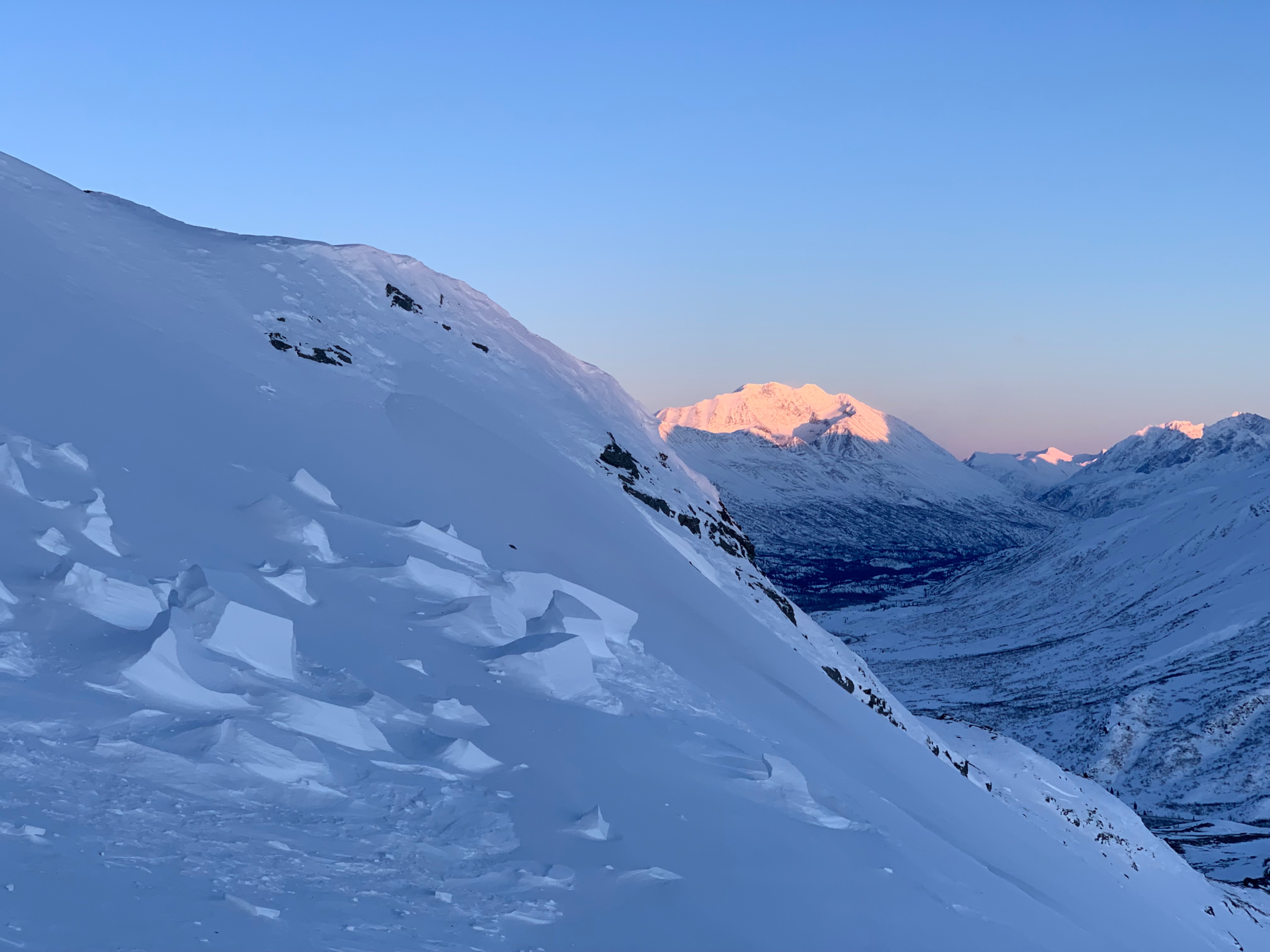
Above 3k the snowpack has been heavily eroded by the last 2 weeks of wind. In this location, windward slopes were either stripped to ground or consisted of pencil to knife hard sastrugi. Leeward slopes had patches or corridors of windslab that were knife hard and unreactive. Wind slabs were confined to deeper cut leeward features, or were patchy. Wind stripped slopes were more prevelant than deposition zones.
This observation is from a location in close proximity to the Thompson Pass summit and represents a more extreme example of the wind's latest effects.
No signs of instabiltyWeather
- Air Temp
- 0
- Cloud Cover
- clear
- Wind Loading
- previous
- Rain Elevation
- 3000
- Recent Snowfall
- 0
- Snow Avail For Transport
- none
Clear, cold, windy
Avalanche
No observed avalanche activity in the last week