
Quick report
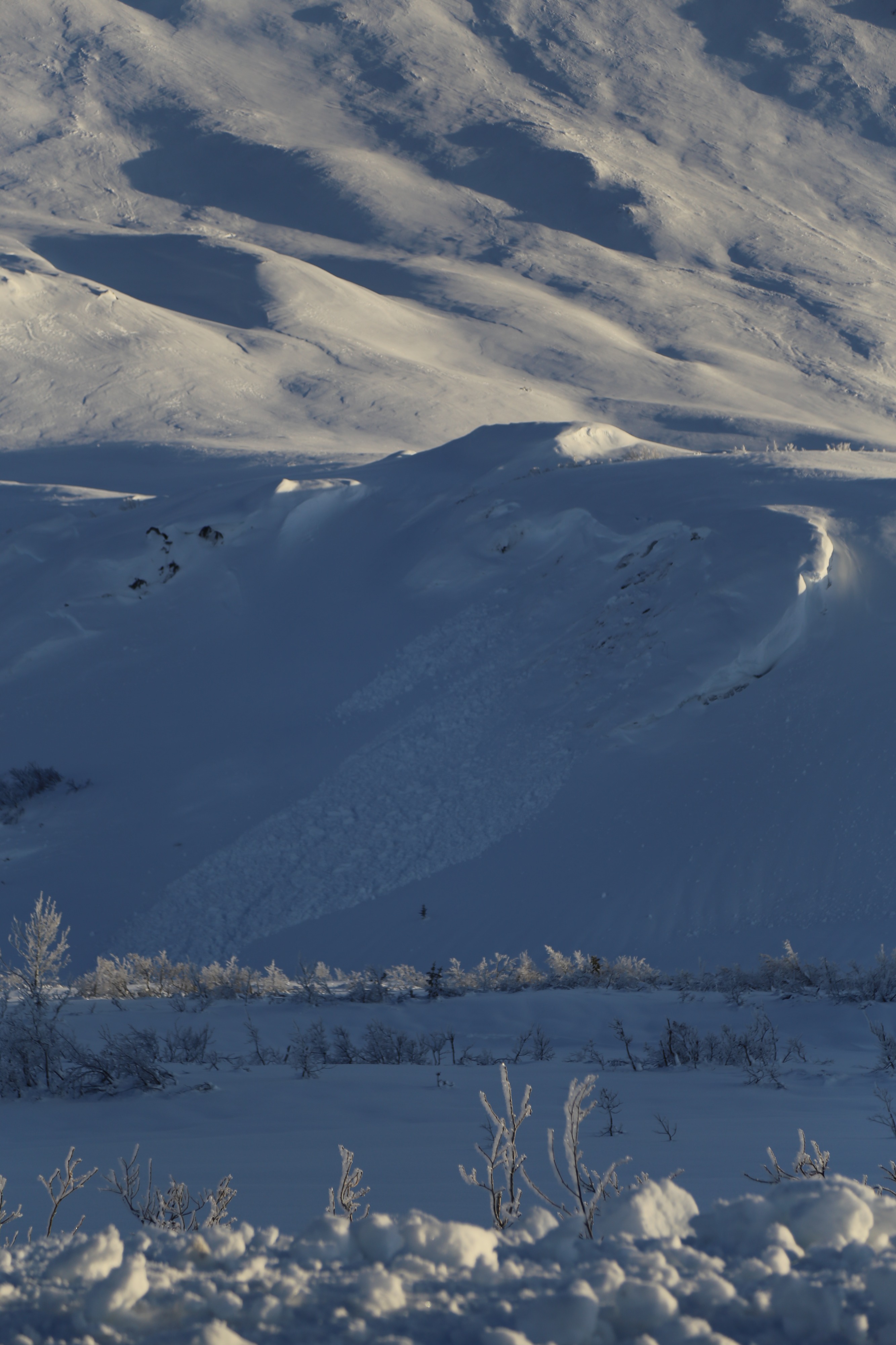
I found generally good travel conditions in this typically windy area of the pass. A variety of wind-affected surfaces allowed for quick uphill travel and were carvable on the way down. There was little evidence of avalanche activity related to the 12/1 weak layer on lower Catcher Mitt, since this area was mostly stripped to the ground before the big storm. However, across the road, I could see an impressive number of old avalanches at low elevation due to the sensitive 12/1 rain crust/facet combo.
No signs of instability.Weather
- Air Temp
- 8 at road 32 at 4000ft.
- Cloud Cover
- clear
- Wind Loading
- none
- Rain Elevation
- 2700 (from past storm)
- Snow Avail For Transport
- small smounts
Clear and cold along the roadway. Intermittent light to moderate N winds. A fairly strong temperature gradient in the area with temps of 8f at the road and in the low 30s up high.
Snowpack
I found large surface hoar up to 1cm+ in diameter near the road up to 2700 feet. A rain crust from the last storm also went from road level to a similar elevation. In lower elevations, the rain crust was a sandwich of 2 crusts with a couple centimeter of loose faceted snow between. Surface hoar on a crust-facet-crust sandwich could create a concerning weak layer when buried by new snow. Fotunately, this scenario is only found in limited terrain close to the road.
Elevations above 2700 feet consisted of chalky wind-affected snow surfaces, including sastrugi and various unreactive windslabs 10-20cm thick. A test pit dug at 3200ft in an area with a 2meter deep snowpack produced no concerning test results. 85cm of well-bonded settled storm snow was found on top of 10 cm-thick December windslabs with a meter of faceted snow underneath. Facets appeared to be rounding and losing their sharp edges, but it will take time for this weak snow to gain strength.