
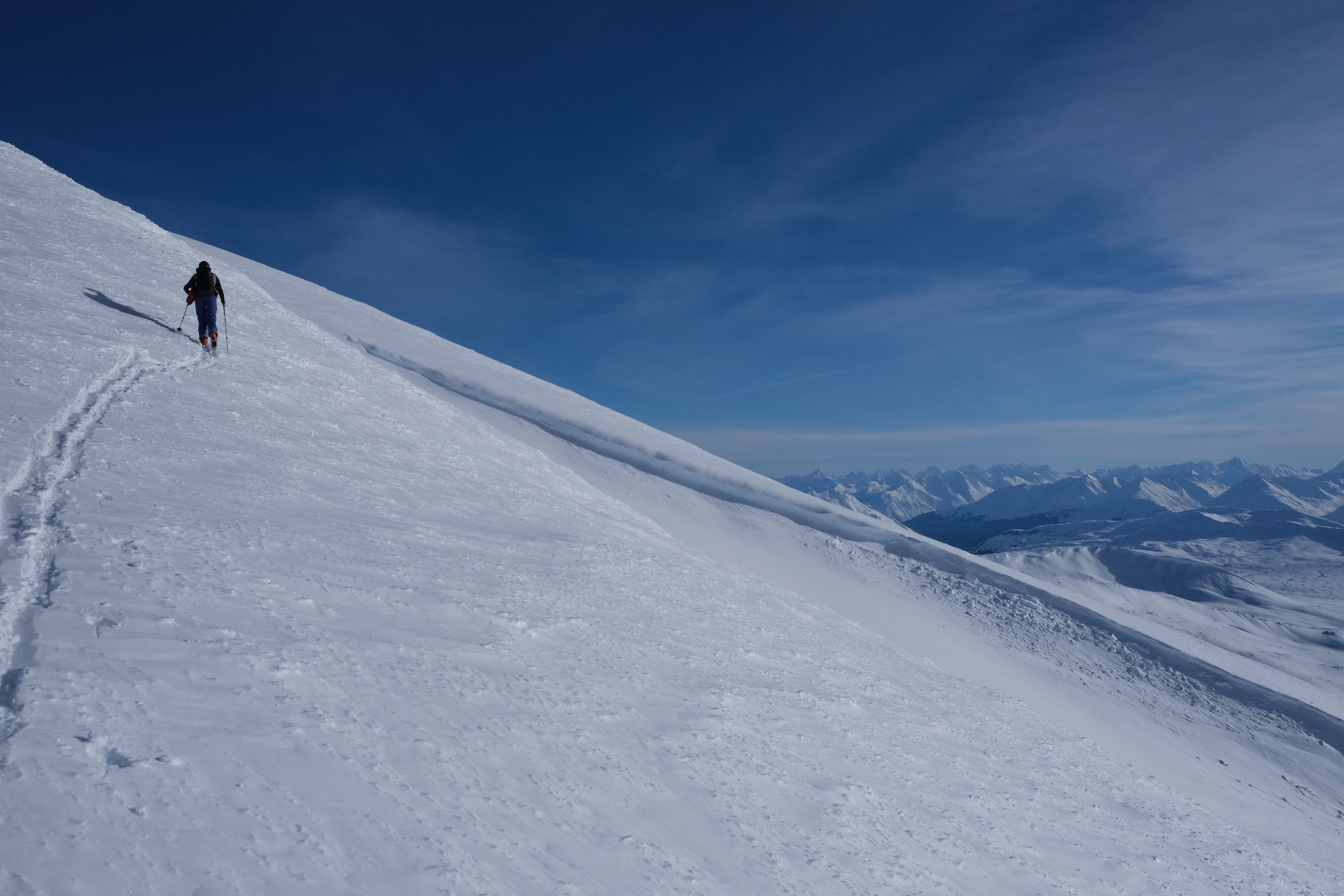
Quick report
The most notable observation from today was the above-freezing temperatures of 37F measured at 5,800' around 2 pm. Second to that was the presence of weak facets, or sugar snow in the snowpack, especially in shallow areas where the snowpack was thin. Solar radiation was strong enough to feel the warmth however the snow surface seemed to remain below freezing. New cornices have formed on W-NW aspect from last weekend's south winds. We rode where it was deep and well-consolidated. Surface hoar was observed growing along the highway below the treeline.
Weather
- Air Temp
- 37
- Cloud Cover
- clear
- Wind Loading
- previous
- Snow Avail For Transport
- small smounts
Clear beautiful sunny day. Warm with above-freezing temperatures! Calm winds with light north wind at the highway late in the day.
Snowpack
- A mix of scouring lower down in elevation, with areas of softer snow and crusts. Noticeable sun crusts on E-SE aspects. A few isolated areas of strong over weak layering collapsed underfoot with sugary facets under a hard surface layer around 3,500'.
- At 5,800' on an S-aspect found a deep drift of consolidated wind slab. Choose to dig in a shallower area with a total snowpack height of HS75cm. Found weak faceted snow under a melt-freeze crust down 30cm with no propagating results in an extended column test at ECTN16.
- The layer of concern was down 55cm on a weak layer of 2mm rounding facets that fully propagated at PST 30/100 End. Underneath this was about 10cm of refrozen depth hoar. This propagating test result is a good indicator that you could still trigger an avalanche from a shallow, un-supported area in the snowpack.
Avalanche
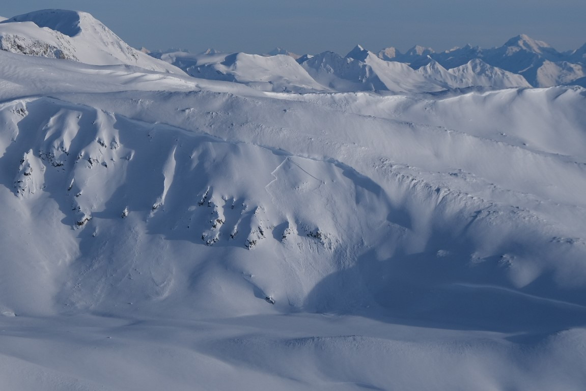
Noted debris and D2 crowns on NE aspects of the Rainy Hollow side around 3,500'. A few others crowns higher up including one on Jarvis SE3 around 6,000'. During the tour saw two D2 slides on W-aspect at 4,500'. These all appeared to be old naturals most likely from this past weekend Feb. 10-11th.