
Quick report
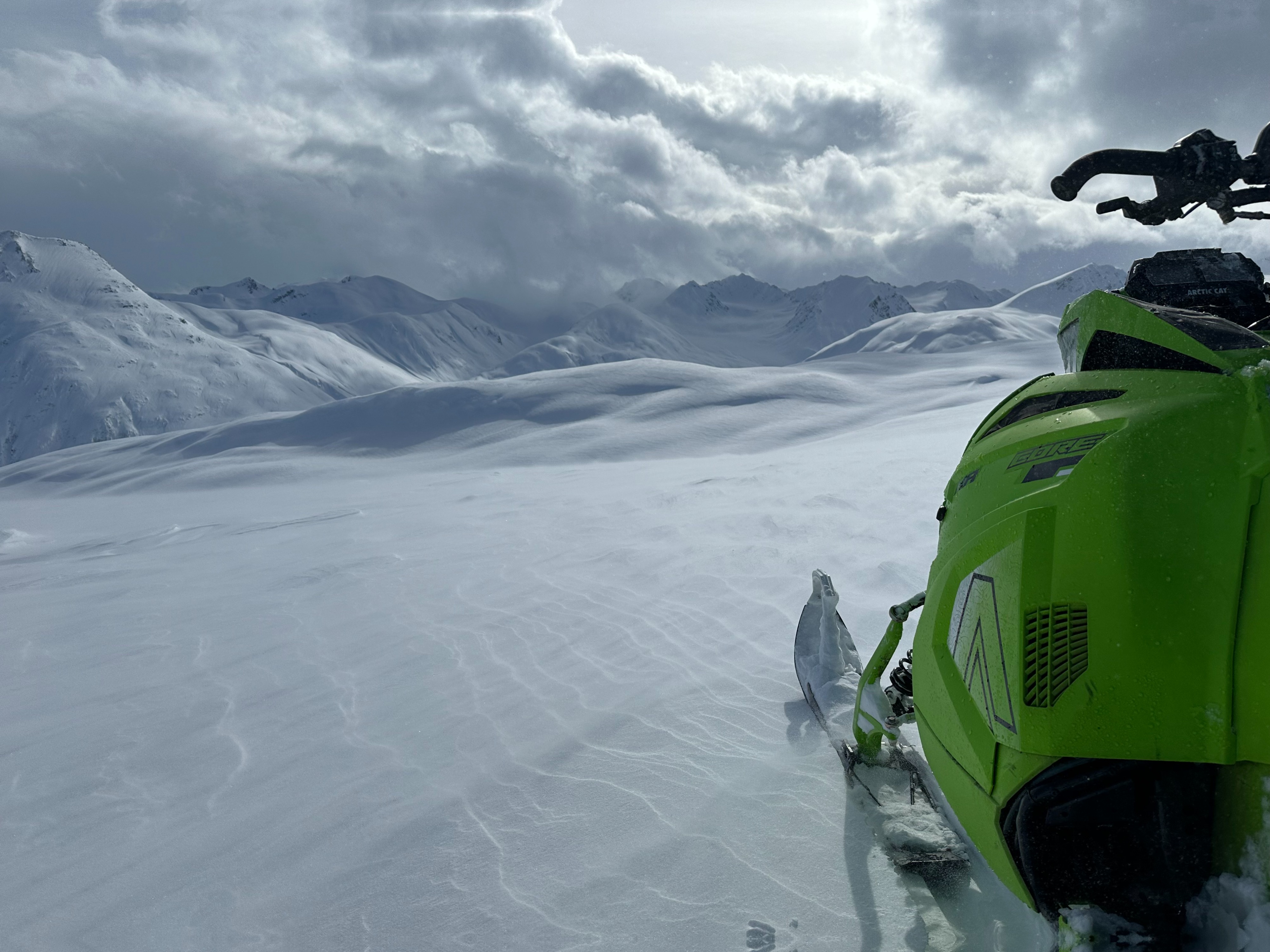
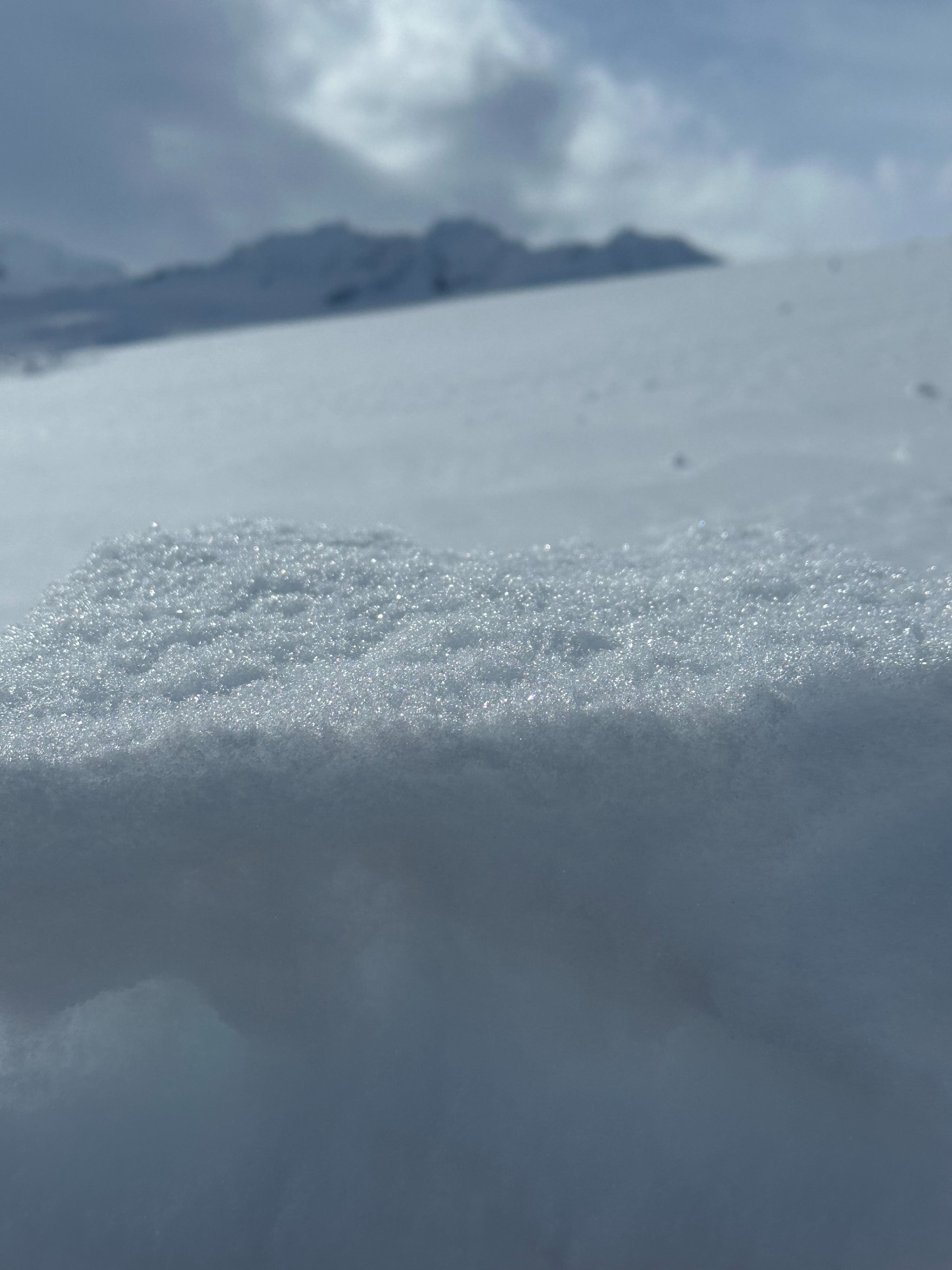
Strong winds and limited visibility kept us near the trees and off the top of Flower ridge. Wide variety of snow surfaces - dense vs soft and dry vs moist.
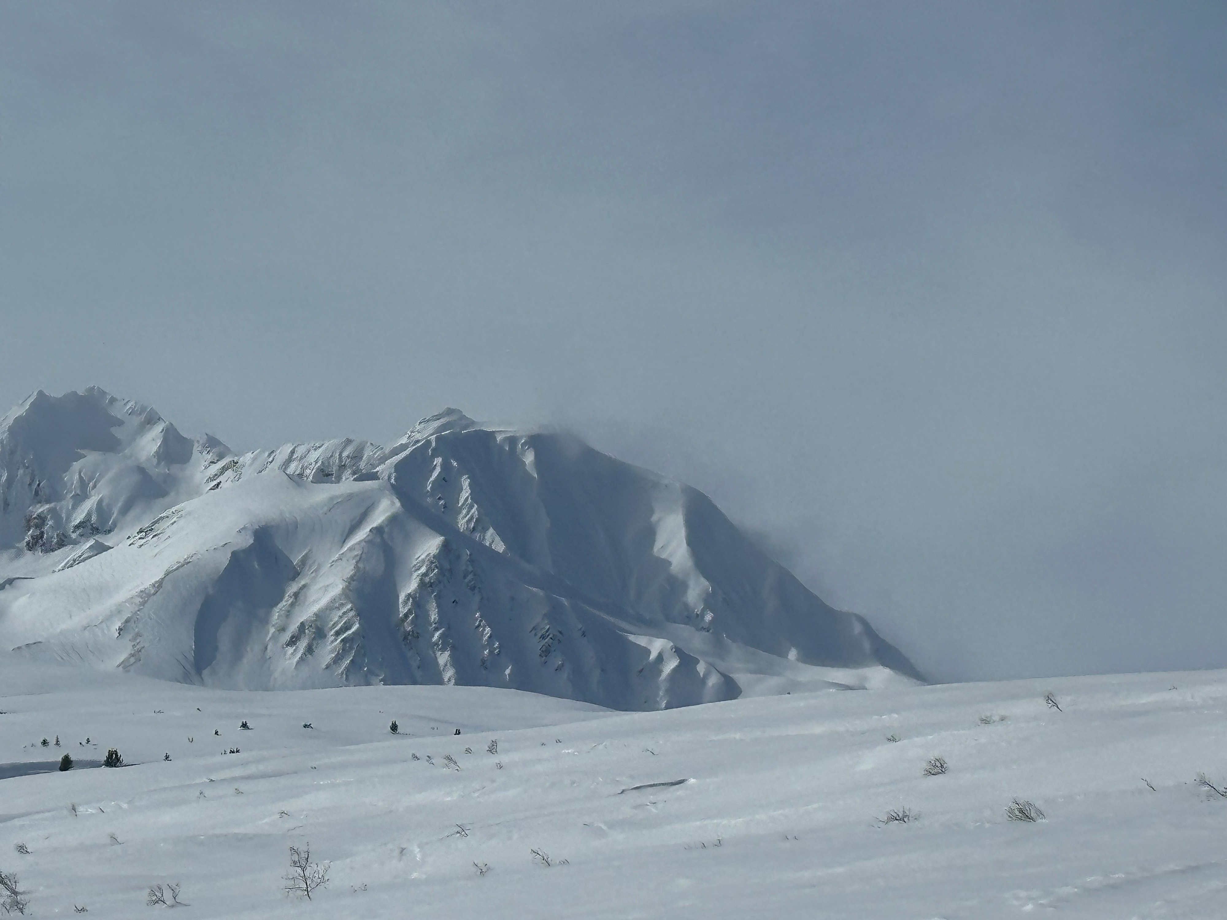
Limited visibility allowed for only a small window to observe red flags/recent natural avalanche activity. Very few natural avalanches observed??Weather
- Air Temp
- 32
- Cloud Cover
- broken
- Wind Loading
- intense
- Rain Elevation
- 2500'-3000'
- Recent Snowfall
- 10-20cm
- Snow Avail For Transport
- moderate amounts
Strong WNW winds pushed open the clouds over Flower zone temporarily mid day. Mild to warm temps.
Snowpack
Caused from wind and warmer temps, upside down wind slab/moist surface snow over less dense snow. Around 2' new snow from past couple storms and settlement. Moderate strength, poor structure and high likelihood of propagation found in top 2-4' of the snowpack.