
Quick report
- Aspect
- Northeast
- Red Flags
- Recent Avalanches
- Elevation
- 2804 m
- Slope Angle
- 35°
- Red Flags Comment
- <p>The main thing is all the avalanche activity from the mid week storm. Things have mostly stabilized, but such widespread avalanche activity makes me pause.</p>
Generally the snowpack is strong and solid.
But there were a lot of avalanches to see. Avalanches of all types which are hard to ignore (photos below).
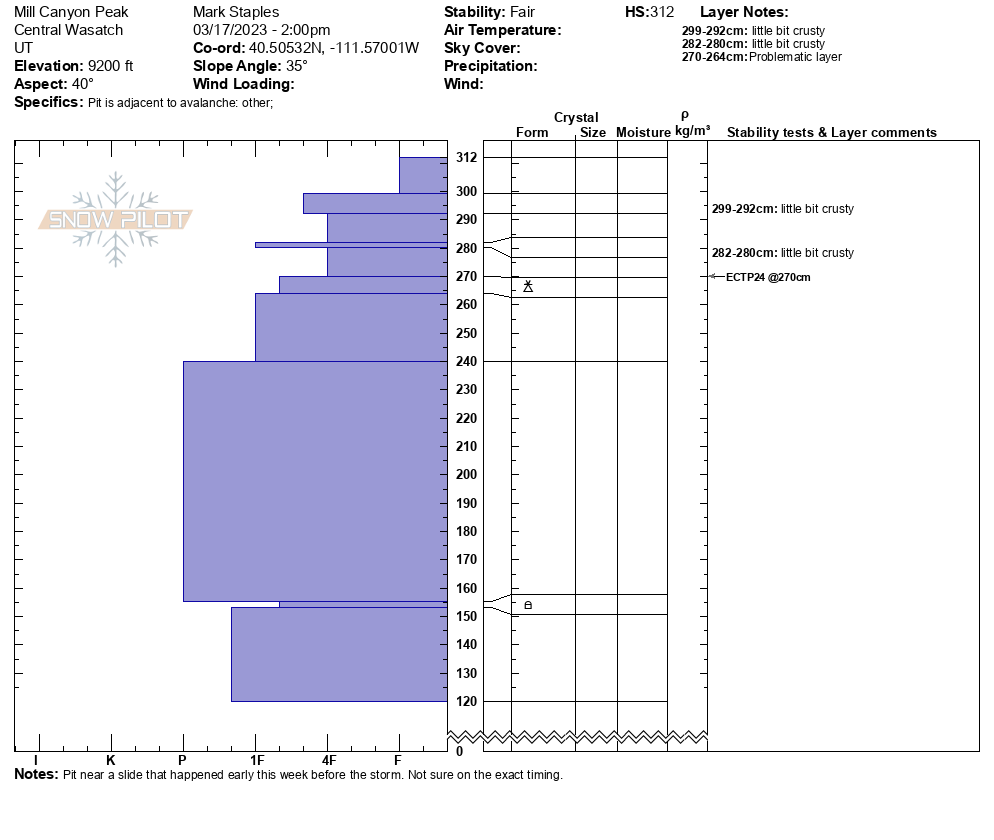
What do all the avalanches mean? The main reason for the activity is that there was a large storm mid week which produced avalanches just in the new snow, avalanches of wind slabs, and some very deep and very wide avalanches. These slides don't necessarily mean that the snowpack isn't solid, and most places we dig, we find solid snow. There is usually a subtle layer/interface from Feb 20th and some larger avalanches broke on this.
What am I going to do? I won't be avoiding avalanche terrain, but I'll notch things back a bit from where I'd be this time of year in a typical winter. It's not a green light to get on anything just yet but that day may be coming soon. We rode in avalanche terrain mostly in the trees on slopes that had not received any additional loading from winds.
Snowpack
Below 8000 feet the snow on all aspects was frozen and either hard or crusty.
Above 9000 feet on north, there is still nice powder.