
Quick report
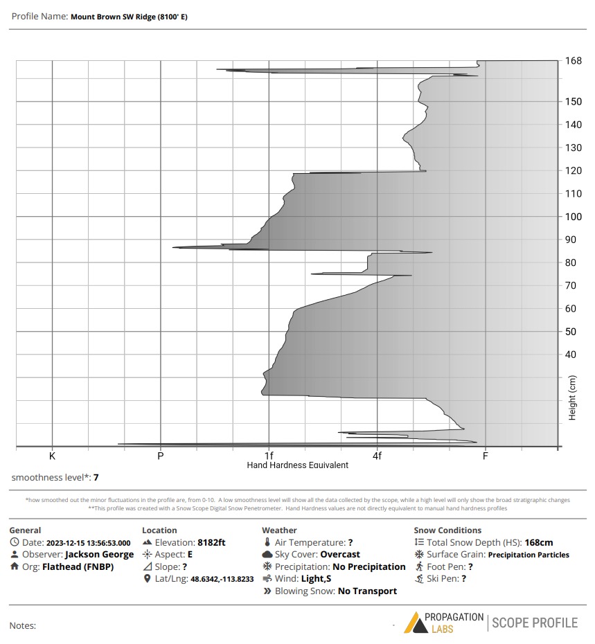
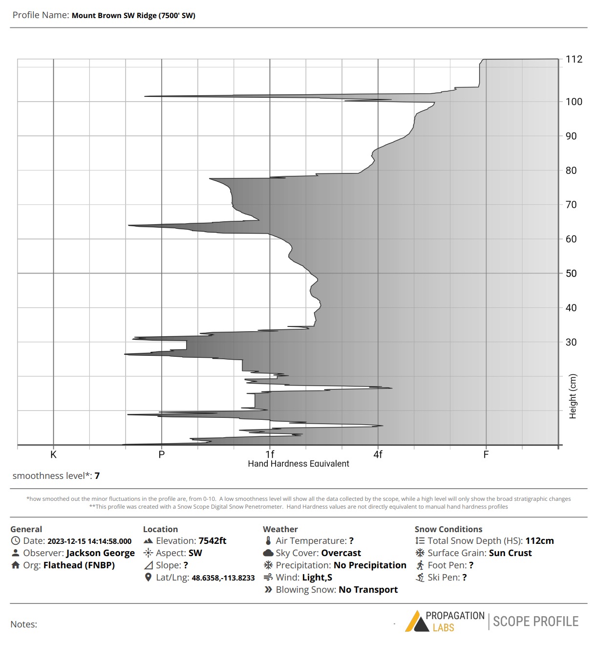
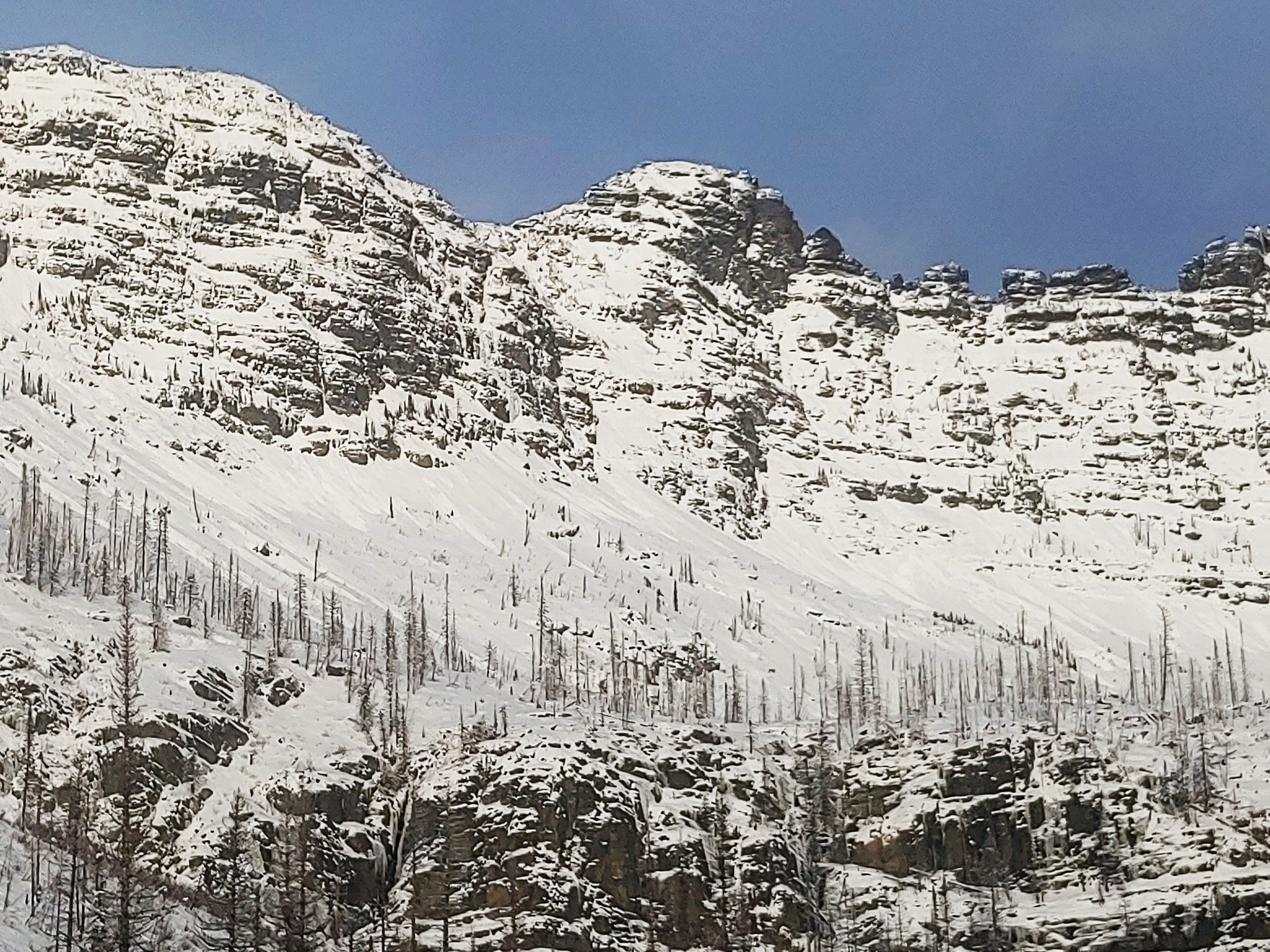
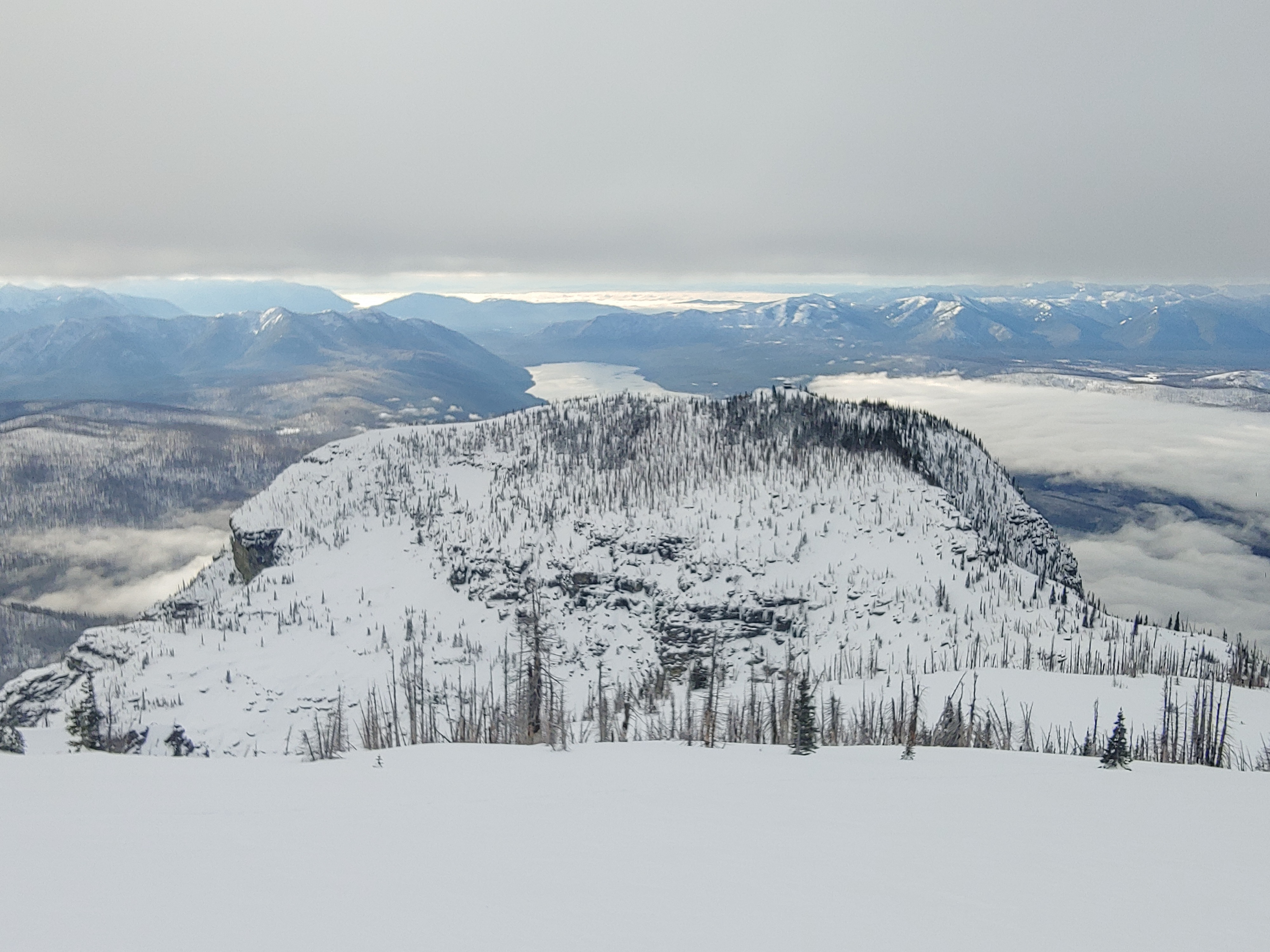
Traveled into upper elevations of Glacier Park to help reduce uncertainties with the snowpack structure above 7500'. • The 12/7 rain crust is present up to 8100' in this area. • Average HS at upper elevations was about 90-110cm. Our highest observation from a previously loaded east facing slope held 120-170cm snowpack. • Aside from several wet slides from Wednesday, we observed no signs of instability, while traveling uphill or downhill today. • We descended a steep east facing chute into the south facing bowl of Mount Brown. • Despite seeing sunshine off in the distance in other parts of the advisory area, we spent most of the day in an inversion sandwich. The lower level stratus deck holding firm around 4500-5000', and the upper level cloud deck perched itself at about 8000' sometimes fluctuating upward a bit. • Around 2:00pm the upper level deck began to break down a bit, revealing sunshine and unobstructed views of the higher peaks in the area • We found the riding quality to be so so. But we knew what we signed up for. • We were able to successfully travel downhill on skis to about 4500'. Off trail ski travel below 5500' remains not recommended. Numerous recent wet loose avalanches observed across the Upper Snyder Headwall between Mount Brown and the Little Matterhorn. And one D2 wet loose observed in the exit gully from Mount Brown to Snyder Lake. (possibly skier triggered from Wednesday?)
Weather
- Cloud Cover
- broken
- Wind Loading
- none
- Recent Snowfall
- 1
- Snow Avail For Transport
- small smounts
Inversions Sandwich most of the day. Mostly calm with light/moderate winds out of the south near ridgetop. Cool temps up high all day. Air temp felt slightly above freezing at Snyder Lake in the late afternoon sunshine.
Snowpack
• Two hardness profiles attached from Upper Elevations. 8100' E and 7500' SW • December 7th rain crust present up to 8100' (our high point for the day). • The newly formed Dec 13 Sun Crust is also present up to 8100' on both SW and E aspects. This sun crust is capped by a skiff of new snow from last night at upper elevations. We found it to be mostly supportable to skis, and even more so to a snowboard. • The lower pack beneath the 12/7 is finally beginning to dry out a bit and stiffen to 1F+ in many locations. I would still classify it as dry/moist by SWAG and moist near the ground.
Avalanche
- Size
- D2.5 R4
- Type
- WL
- Aspect
- SE
- Elevation
- 6500 ft
D2.5 Loose Wet avalanche at middle elevations. 6500'-5600'. Trigger Unknown. Estimated occurrence Wednesday afternoon.