
Quick report
- Cracking
- specific
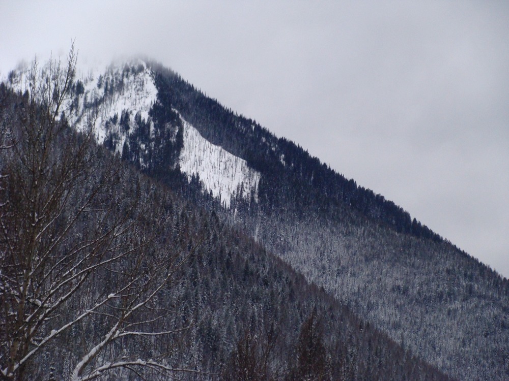
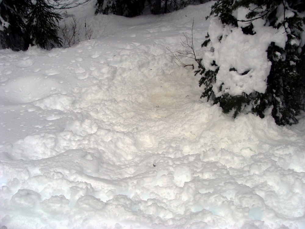
What a contrast from yesterday. Today's temperature inversion turned yesterday's powder into mashed potato snow.
- At the trailhead, temps were around 15 degrees, and the recent snow was capped with a freezing rain crust.
- The handful of ski groups exchanged colorful descriptions of conditions. One veteran skier said: “This may be the worst day of skiing I can remember."
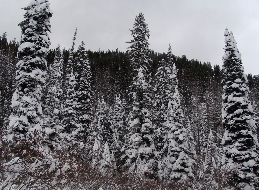
- At 5500 feet, precipitation was rain, trees were shedding snow, and the surface snow was saturated.
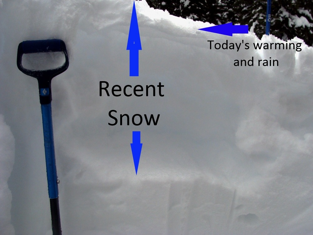
- The silver lining is that this warming event is building our base for the rest of the season.
Weather
- Air Temp
- Temp. Inversion
- Cloud Cover
- overcast
- Wind Loading
- none
- Rain Elevation
- 5500 feet
- Recent Snowfall
- 0
- Snow Avail For Transport
- none
Cold at the trailhead and got warmer as we climbed in elevation. Clouds limited our visibility. Winds were calm.
Snowpack
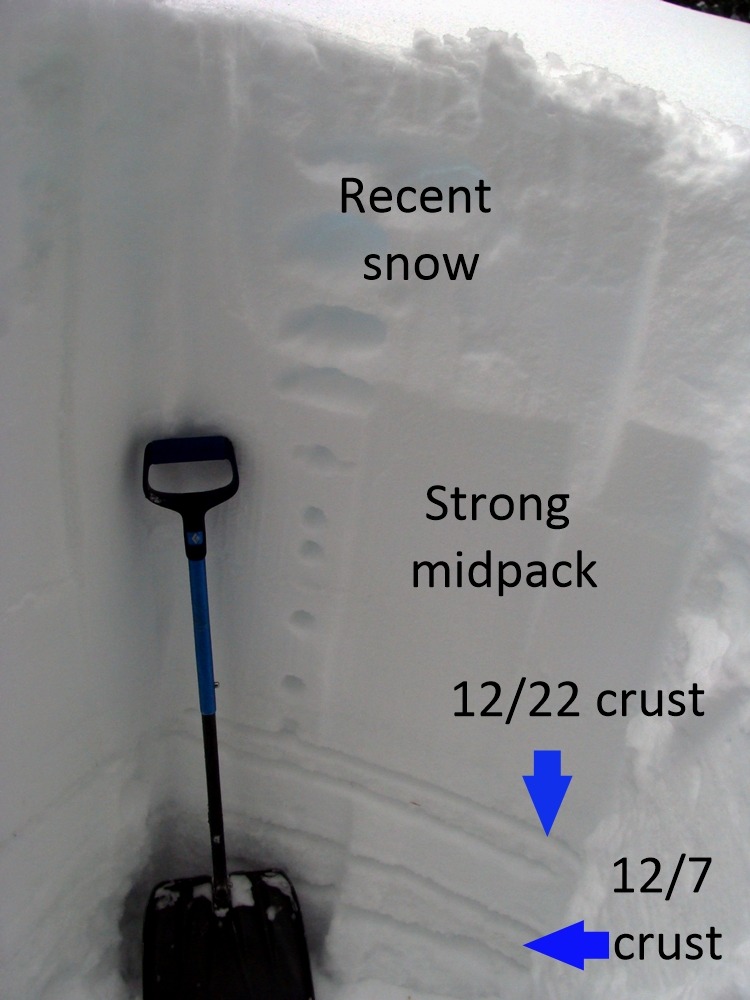
Digging into the snow, at 5900 we found a snow depth of 150 cm on SE aspect.
- No propagation in our snowpack tests. ECTX and CTN.
- 5cm of wet snow, capping 40 cm of recent dry snow.
- 12/22/23 crust 95 cm below the surface.
- 12/7/23 crust 110 cm below the surface.