
Quick report
- Cracking
- specific
I went for a jaunt in the Mammoth Lakes area to get a read on what actually went down during this last storm event. As expected, the storm was mostly "sideways" and I'd believe we have less snow now than we did pre storm.
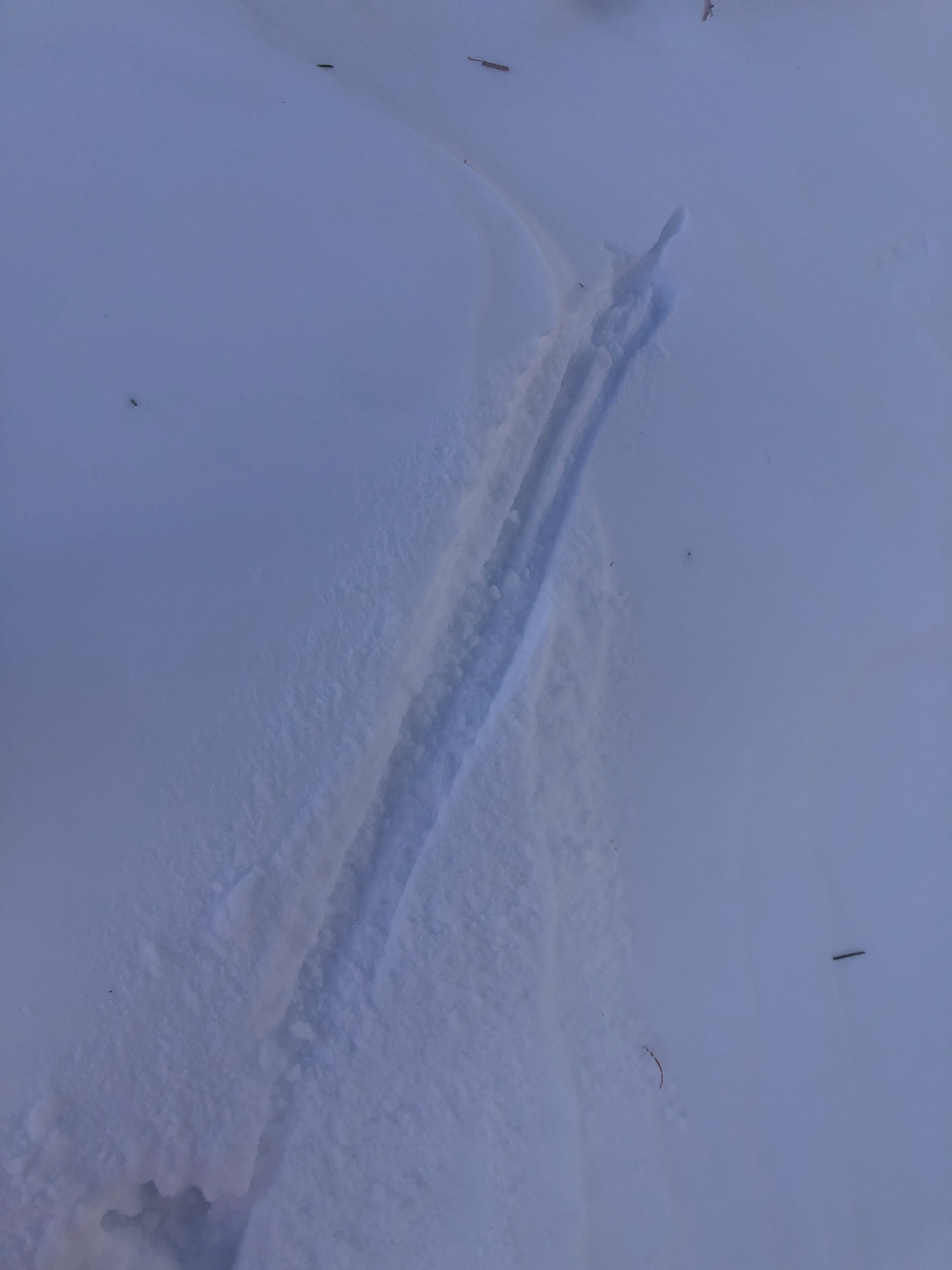
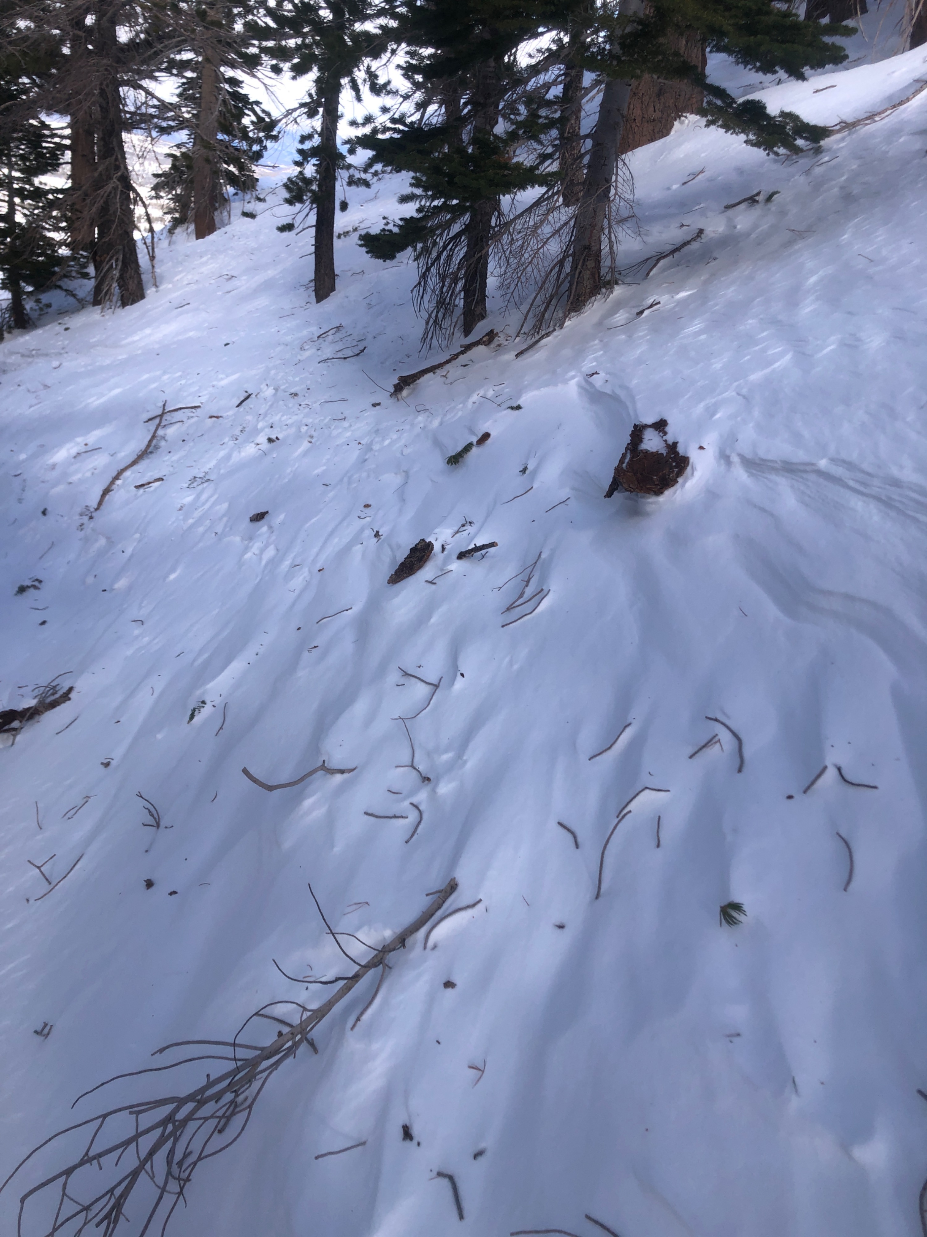
Of note, despite the extreme winds of the past 48 hours, there is still snow available for transport. It lies amongs hard slabs, soft slabs, and crusts. Moderate winds were enough to initiate moderate amounts of blowing snow as I continued gaining elevation today.
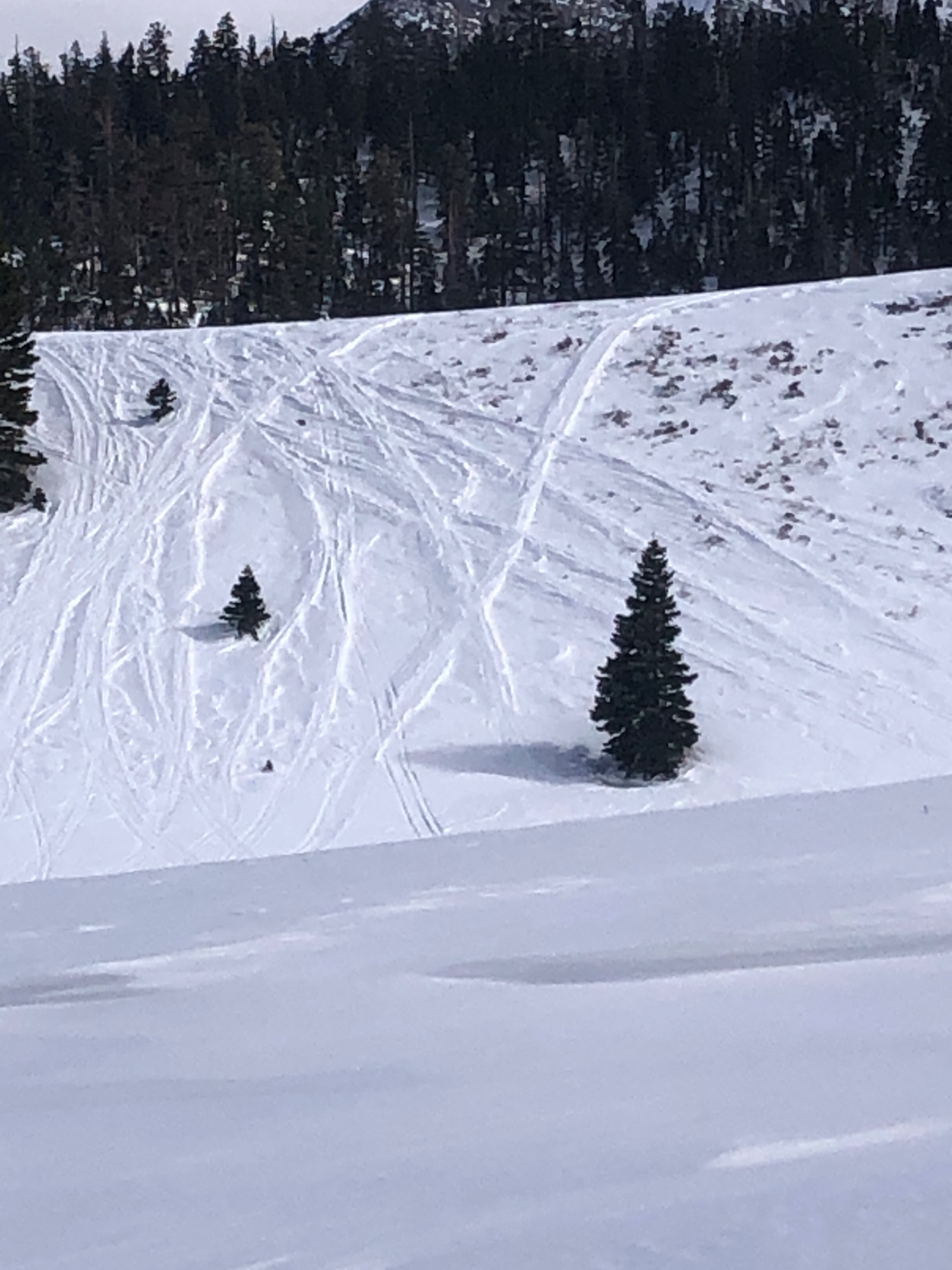
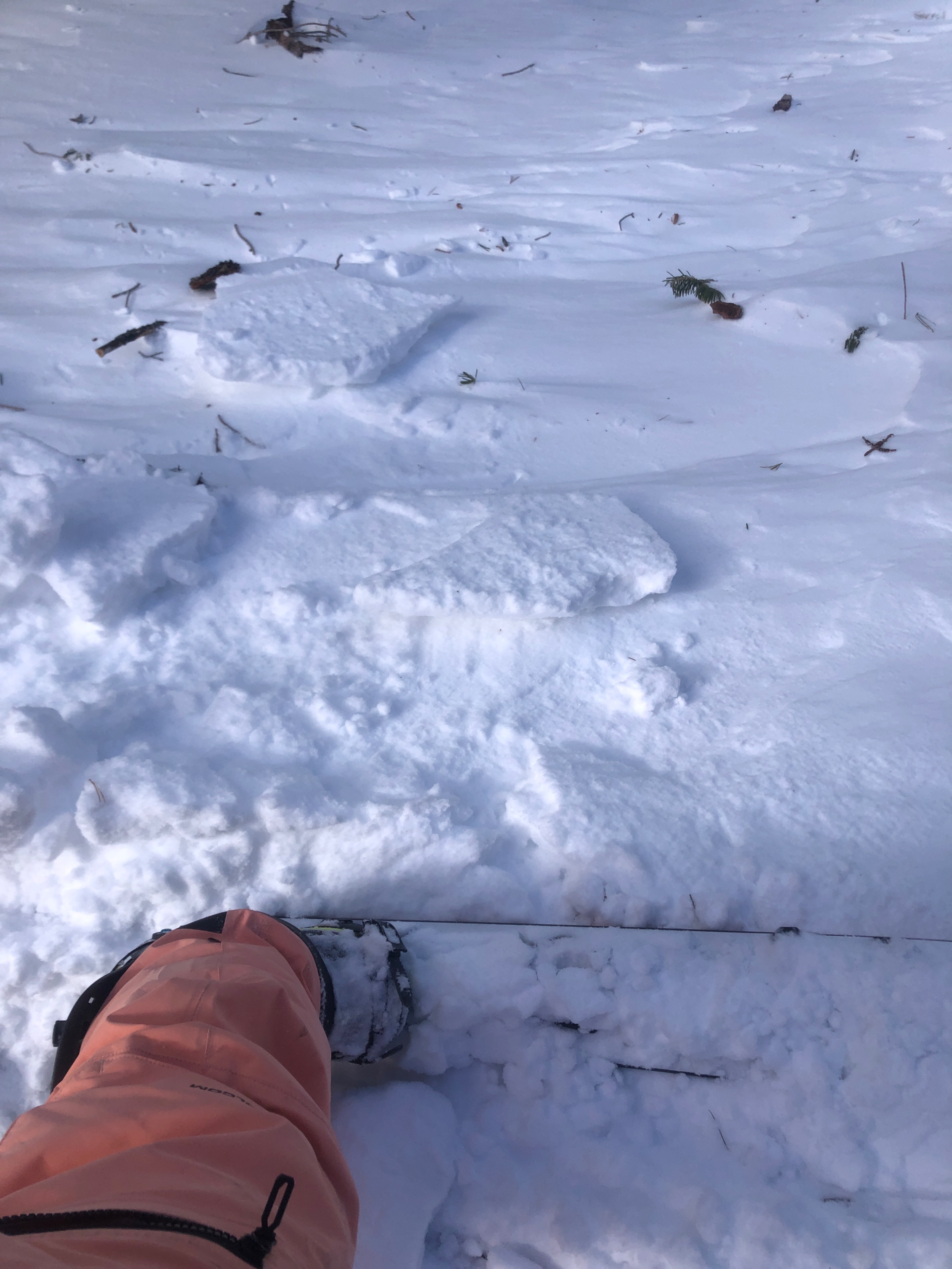
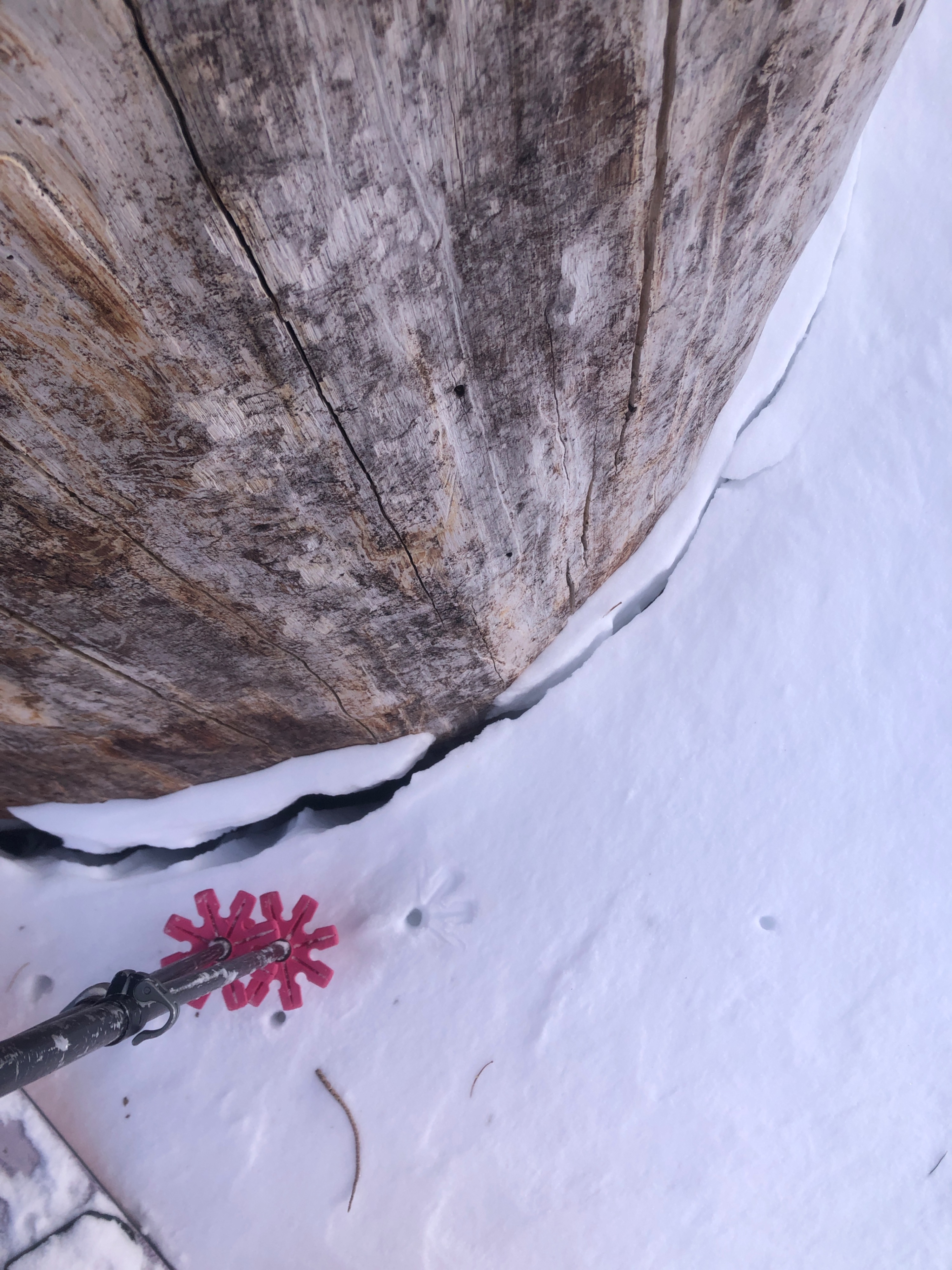
Multiple avalanche crowns visible in N - E open terrain BTL. Distribution of wind slabs was variable in the BTL and NTL terrain I traveled. I was able to initiate cracking and trigger small slides on test slopes in certain areas, and nothing moved in others. Notably, there was a lot of hard slab. I had to really jump on these to get them to crack. But, they sit atop 4F stellars mixed with wind packed precip particles.Weather
- Cloud Cover
- broken
- Wind Loading
- moderate
- Snow Avail For Transport
- moderate amounts
Temperatures were mild at the trailhead near 1 pm. Winds began to pick up quickly, temperatures dropped, and blowing snow increased as a storm blew in over the crest. Very light amounts of snowfall were present between 3 and 5 pm. Hard to gauge what snow fell from the sky and what was moved by the wind.
Snowpack
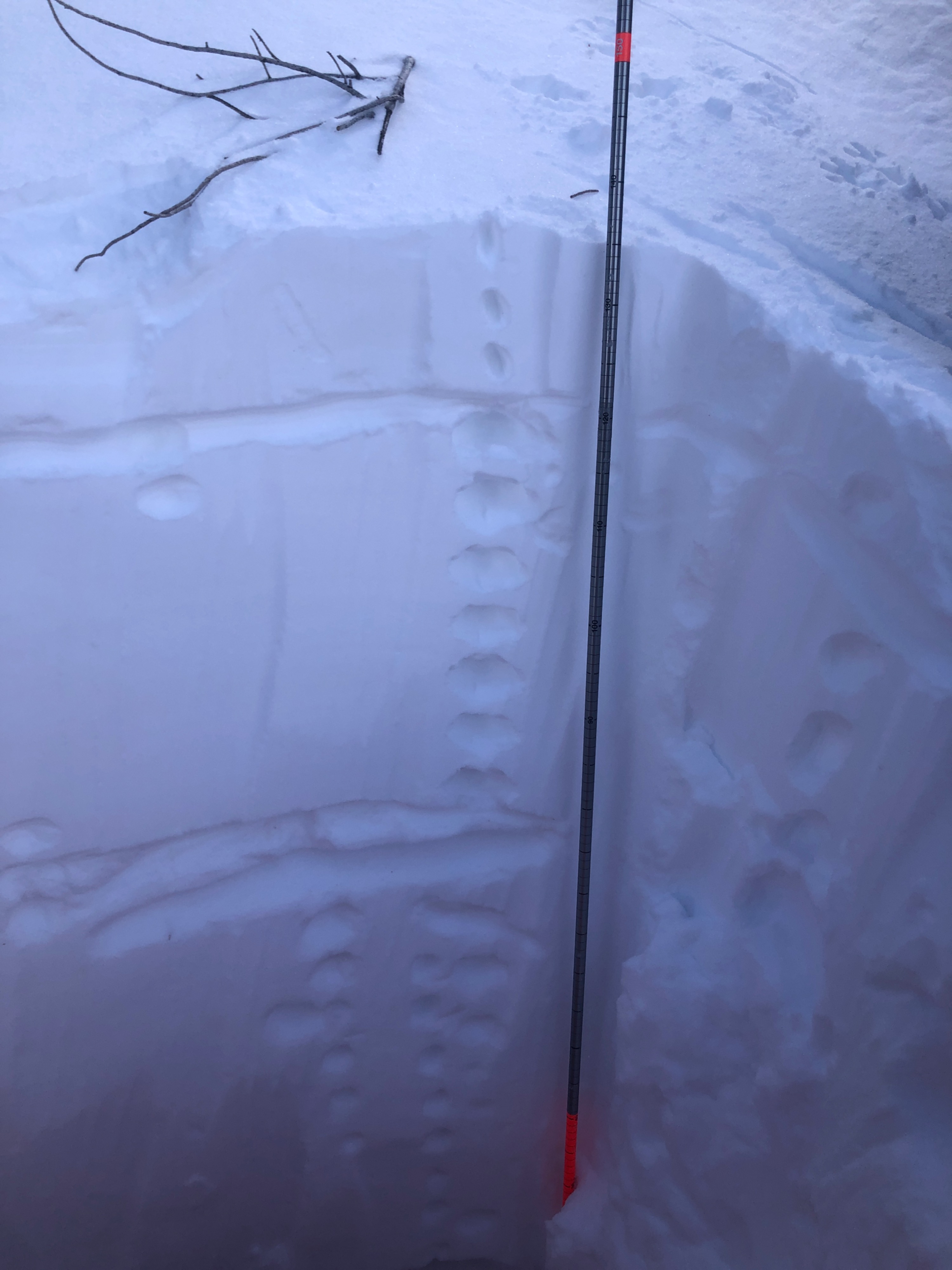
Variable surfaces. Areas wind loaded, wind scoured, hard slabs, soft slabs, crusts, etc. HS varied. An average would be ~ 135 cm.
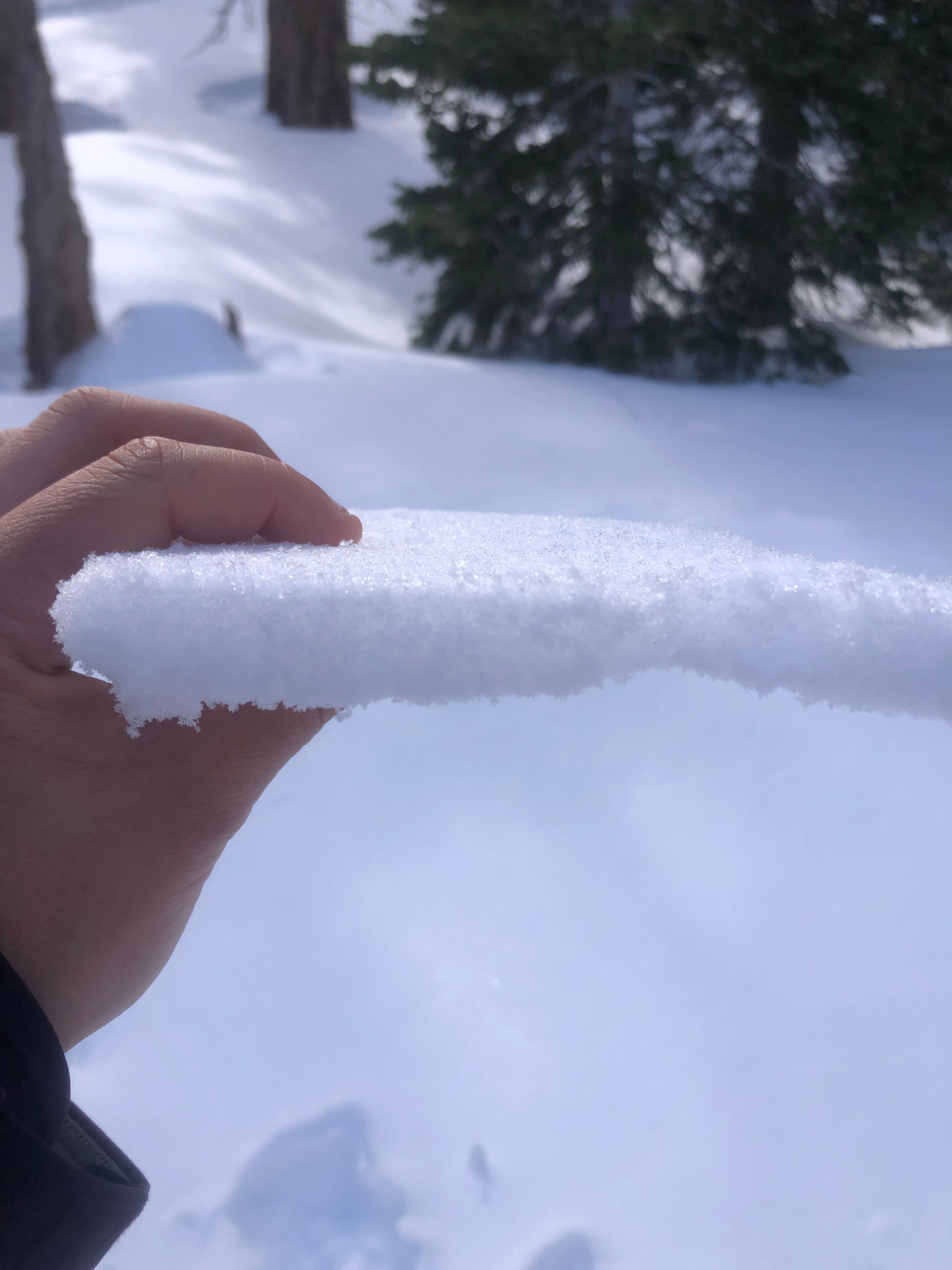
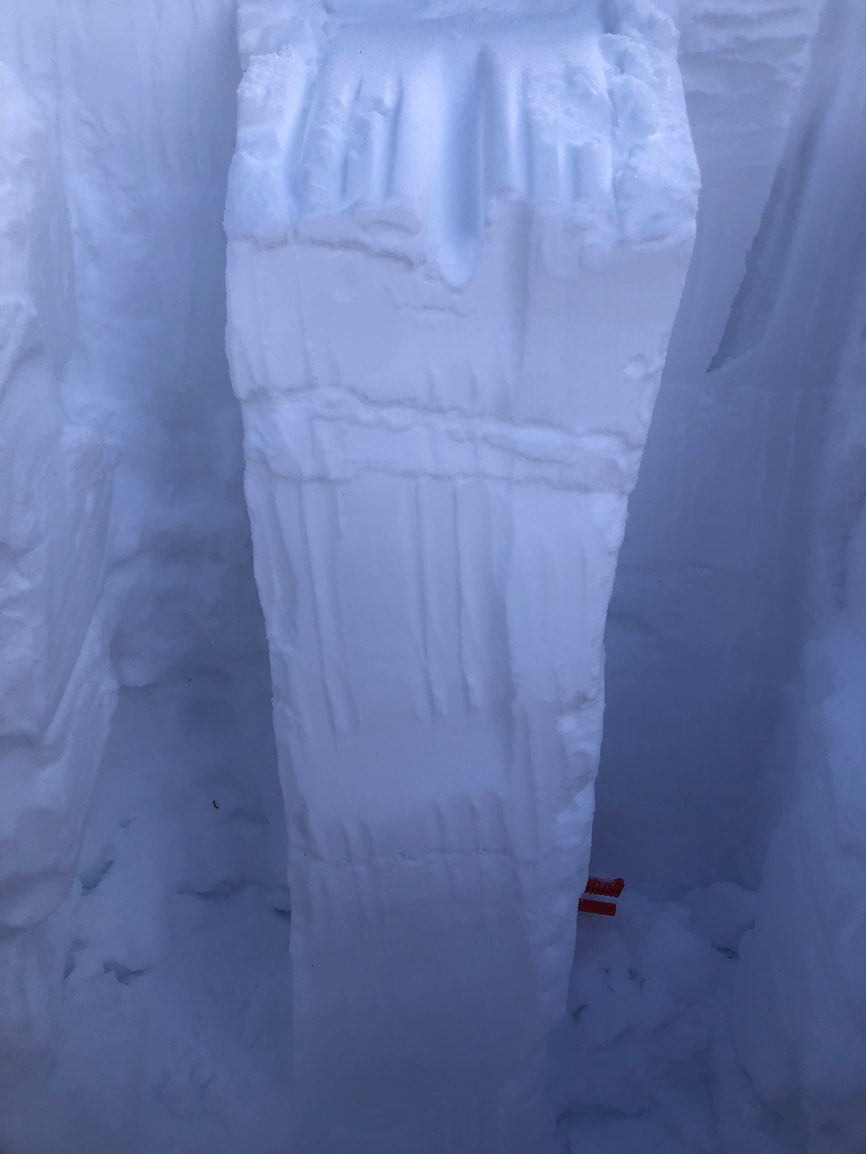
Consistently, I found 1F to P hard slabs sitting on top of 4F preserved precip particles and wind packed precip particles. I got CT1 RP results at this interface in a test pit at 9000K, NNE, protected area. ECTN 12 on this layer.
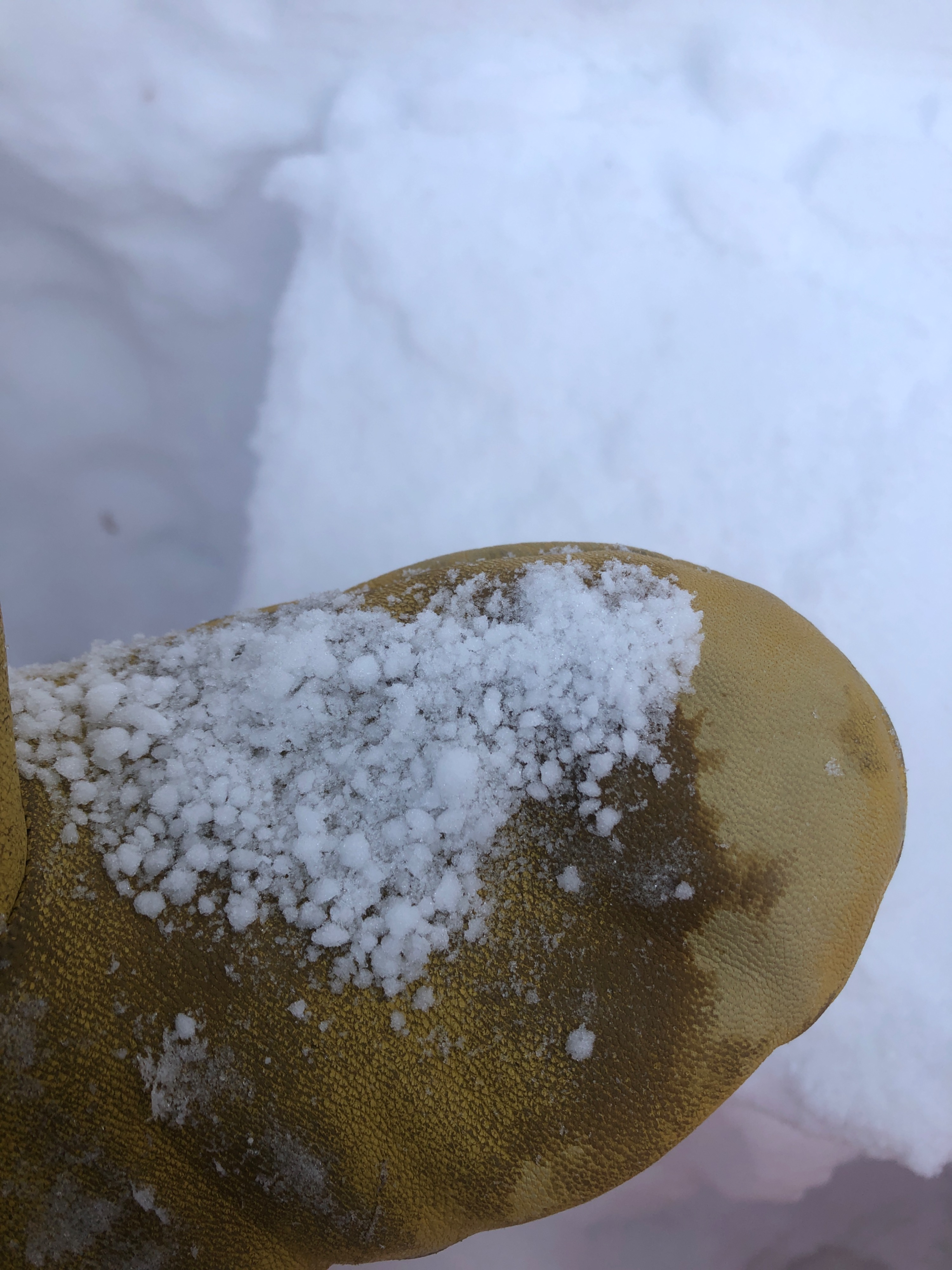
A 5 cm thick layer of graupel exists. CT18 SC. ECTX on this layer. Whilst traveling the area Friday, 03/01 as the storm began, it was actively "graupeling." I'd believe this is the base of the new snow.
1/02 facets and DH still exist at the base of the snowpack. They are smaller ,up to 3 mm, and show signs of having rounded a bit. They are also moist.