
Quick report
My goals for today were to check out coverage and access in Pine Creek, see northerlies above 11000 ft, and monitor the wet loose avalanche problem.
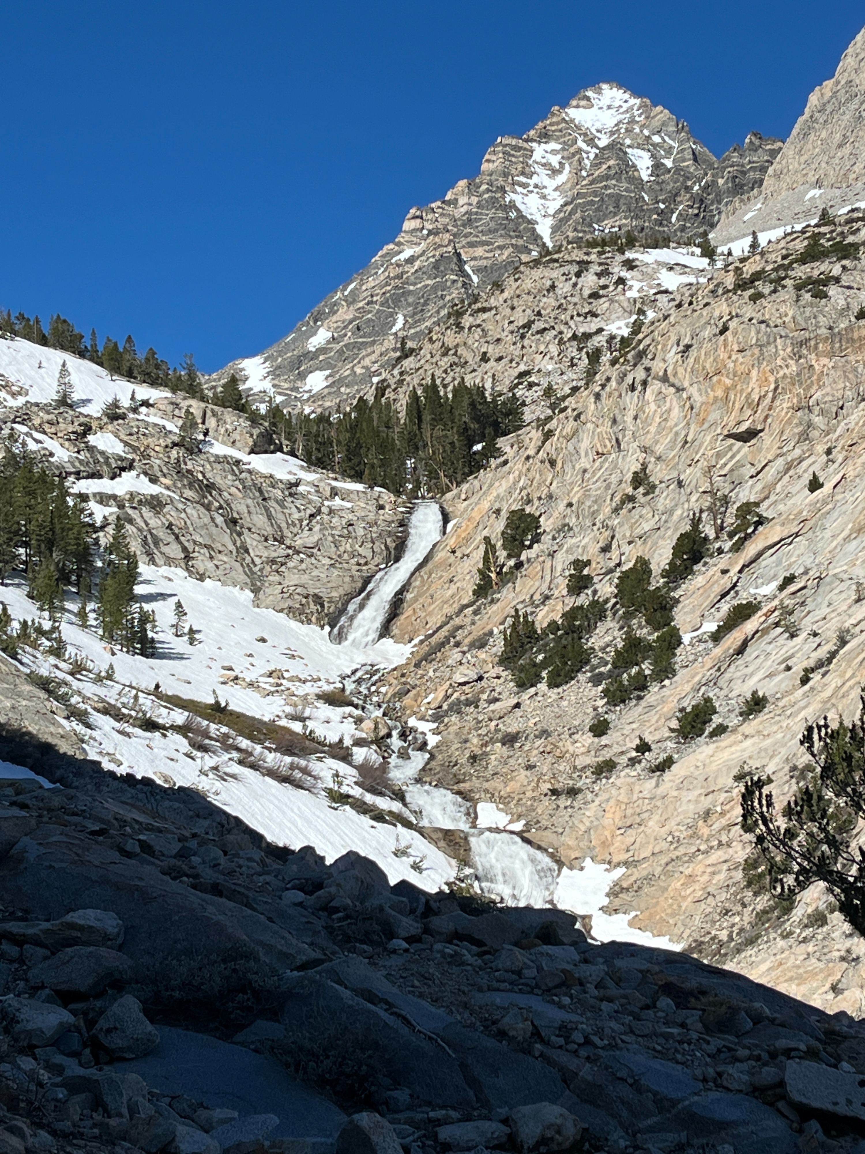
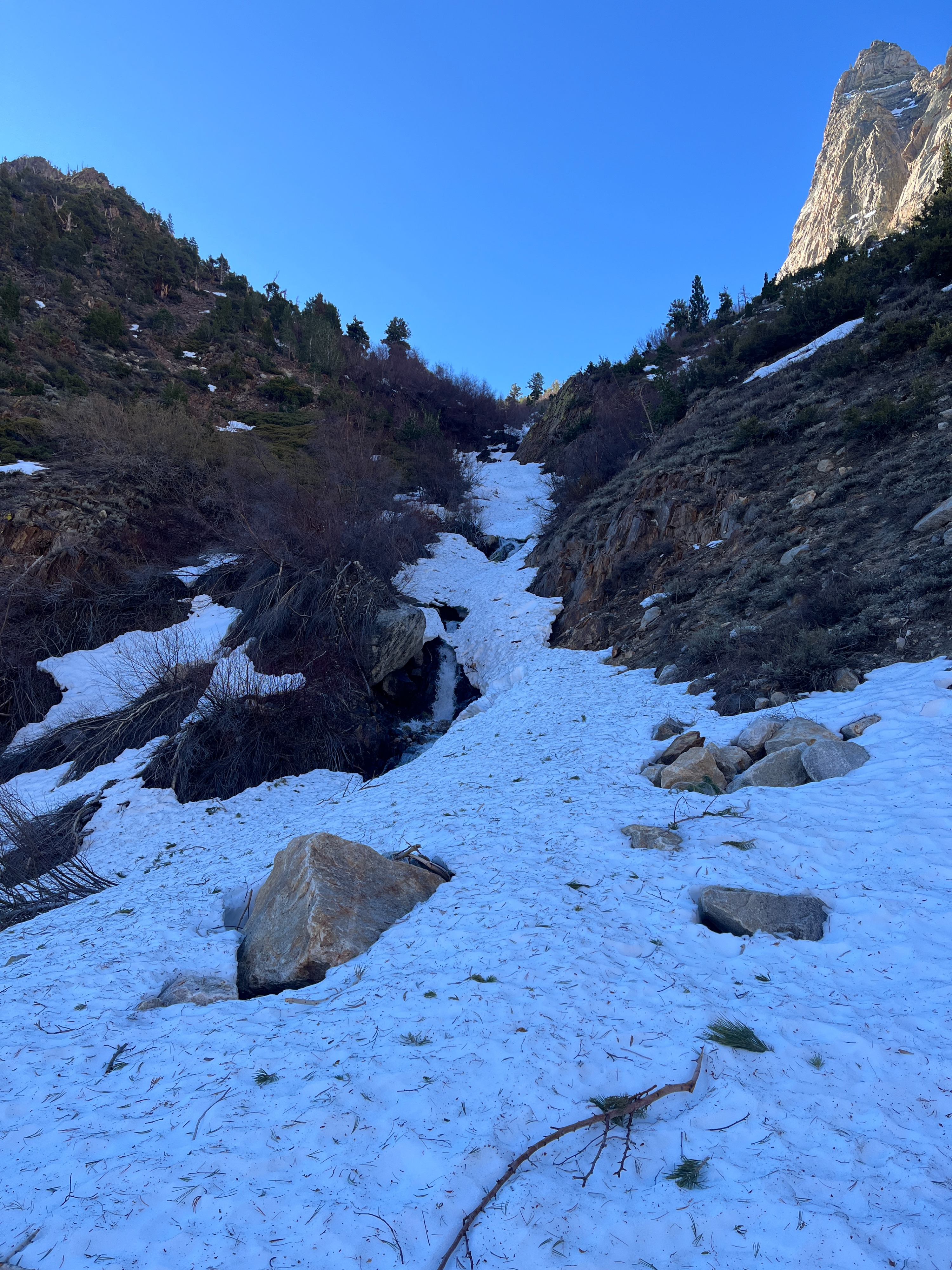
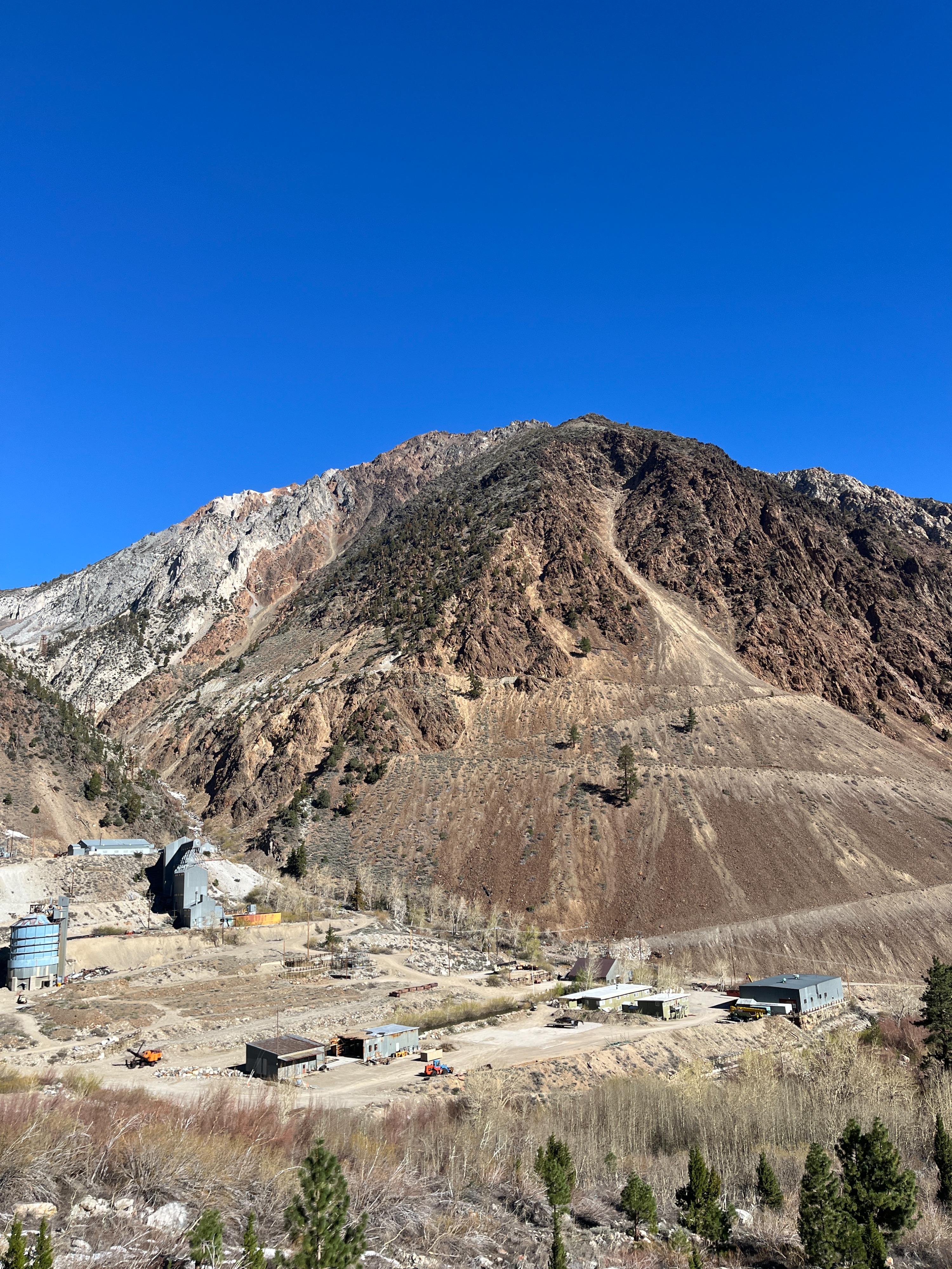
From the Pine Creek summer TH at 7400 ft, I walked on the summer trail to 8500 ft, where I was able to connect patches on skins. The snowy sidehills above the canyon were firm, and a slip and slide here would be undesirable at best. I felt secure with ski crampons and a whippet.
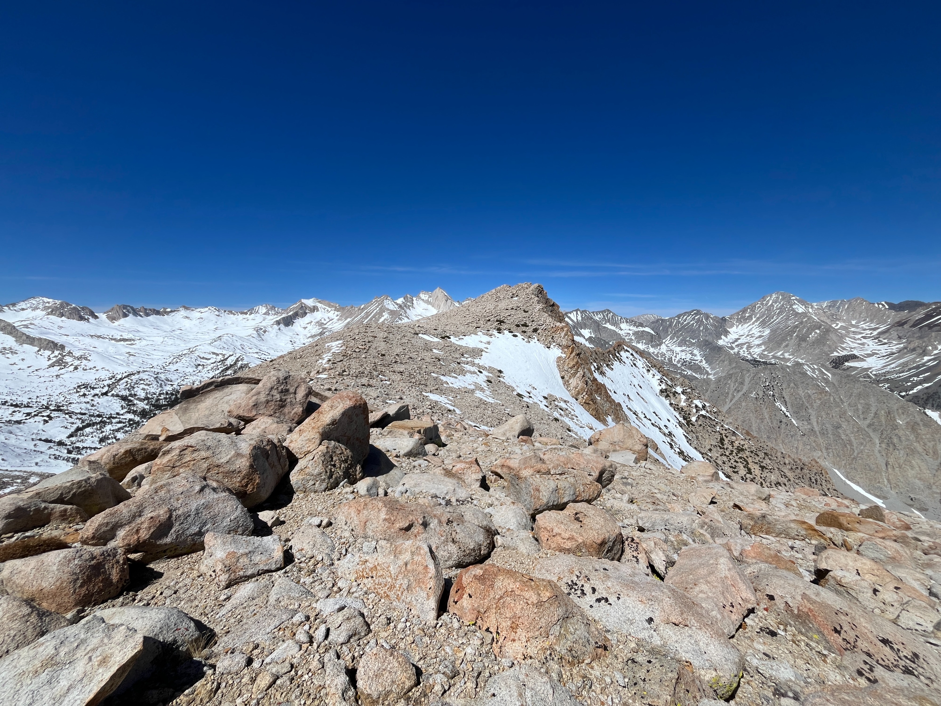
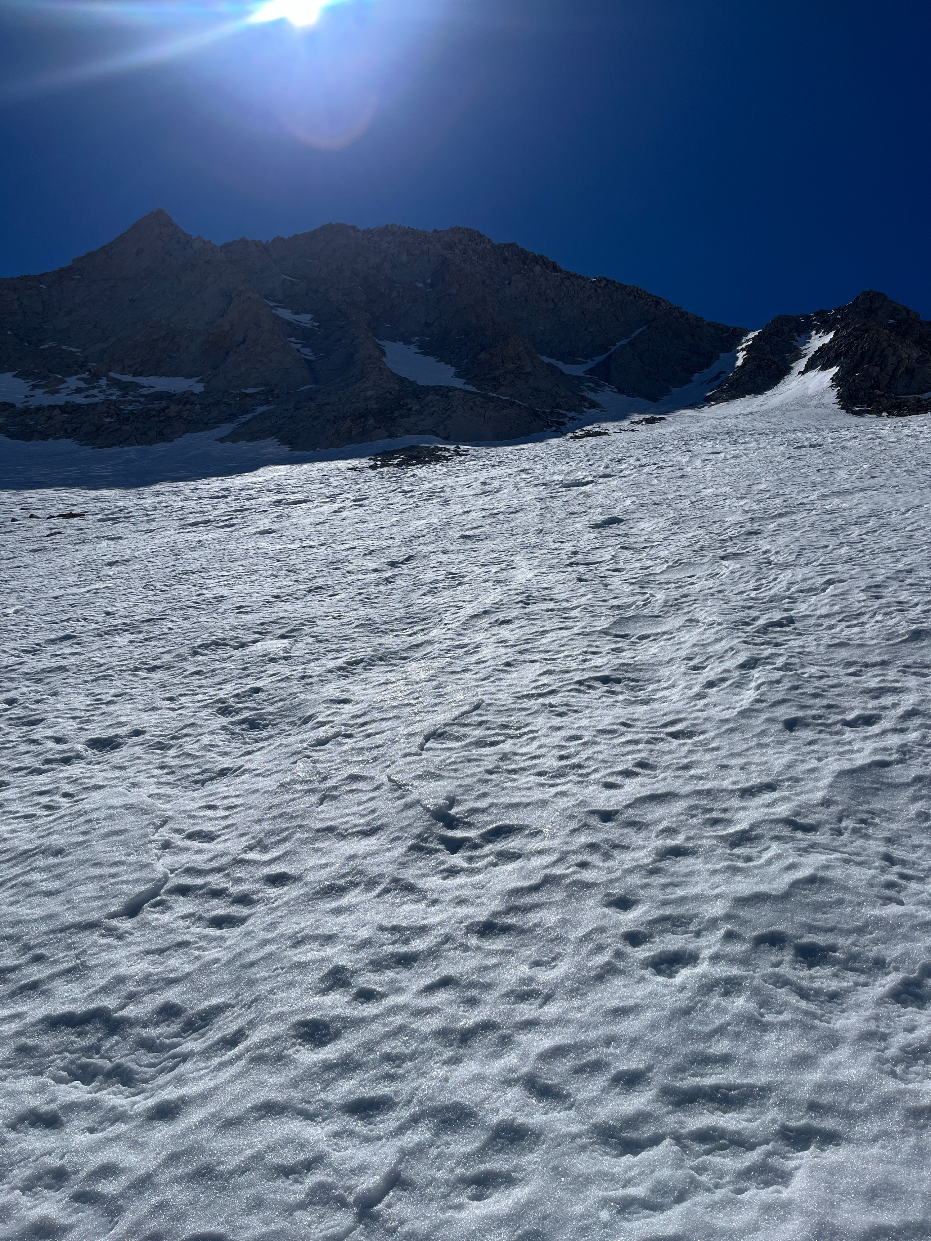
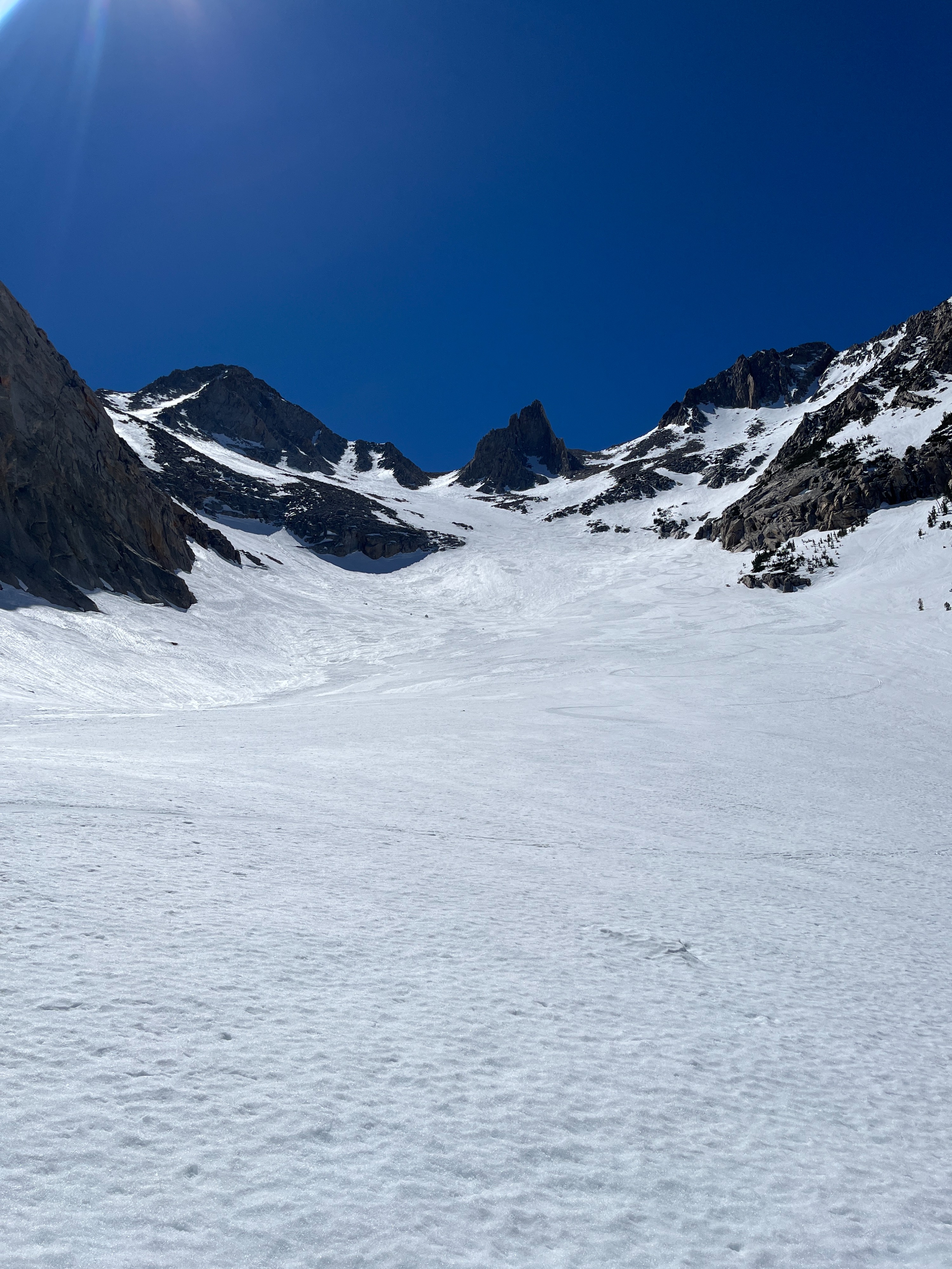
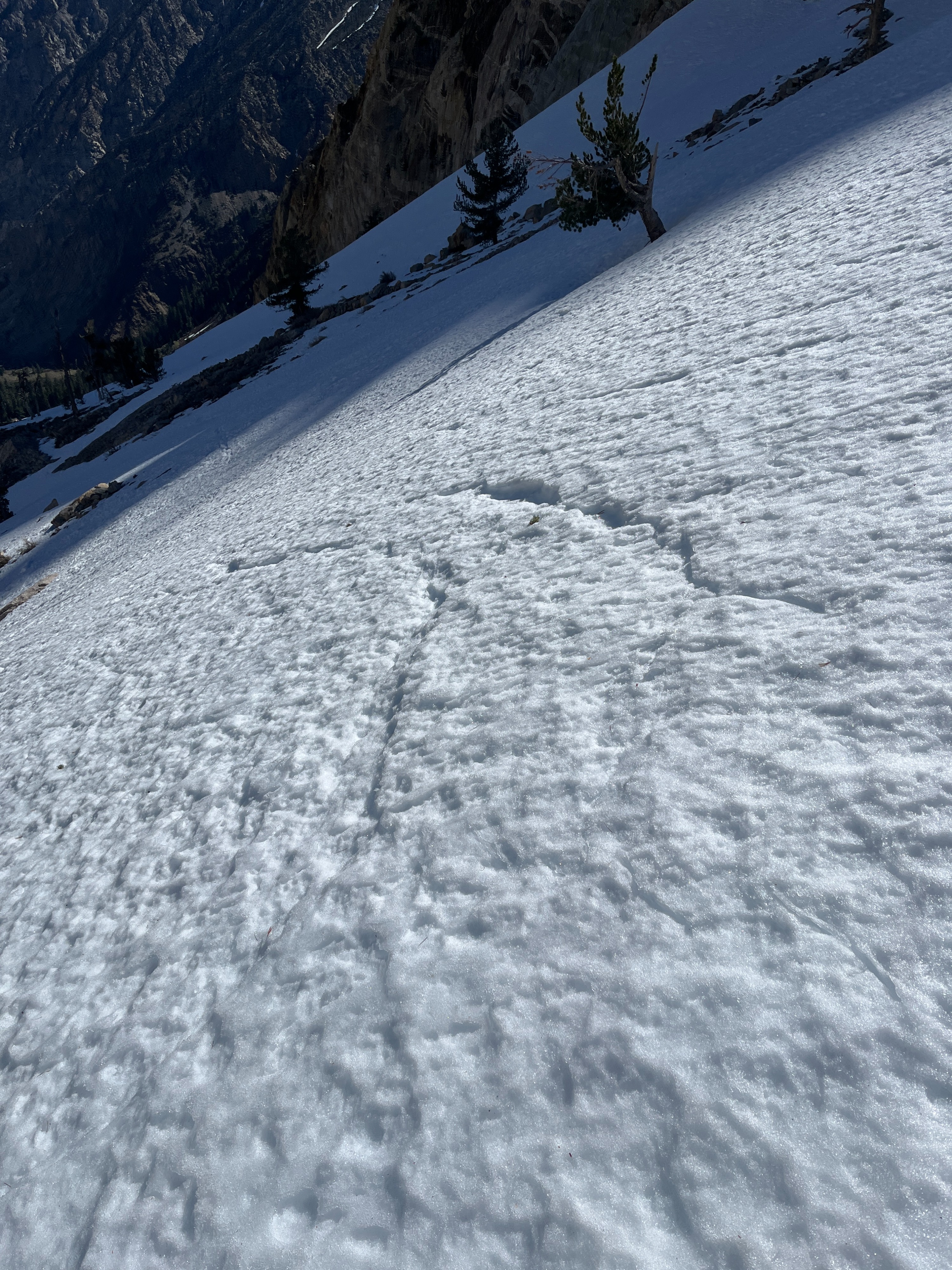
Around 9500 ft, coverage was more consistent, and a solid overnight freeze kept the surface supportable all the way up to 12000 ft. Light to moderate southwest winds also seemed to help slow the softening a bit. East aspects above 11 k were melt/freeze, and north aspects were textured, transitional, and firm wind-affected snow. Looking around from a high col, I could see that north-facing above tree line terrain has maintained decent coverage throughout the heatwave. South and southeast slopes at all elevations are almost completely void of any snow.
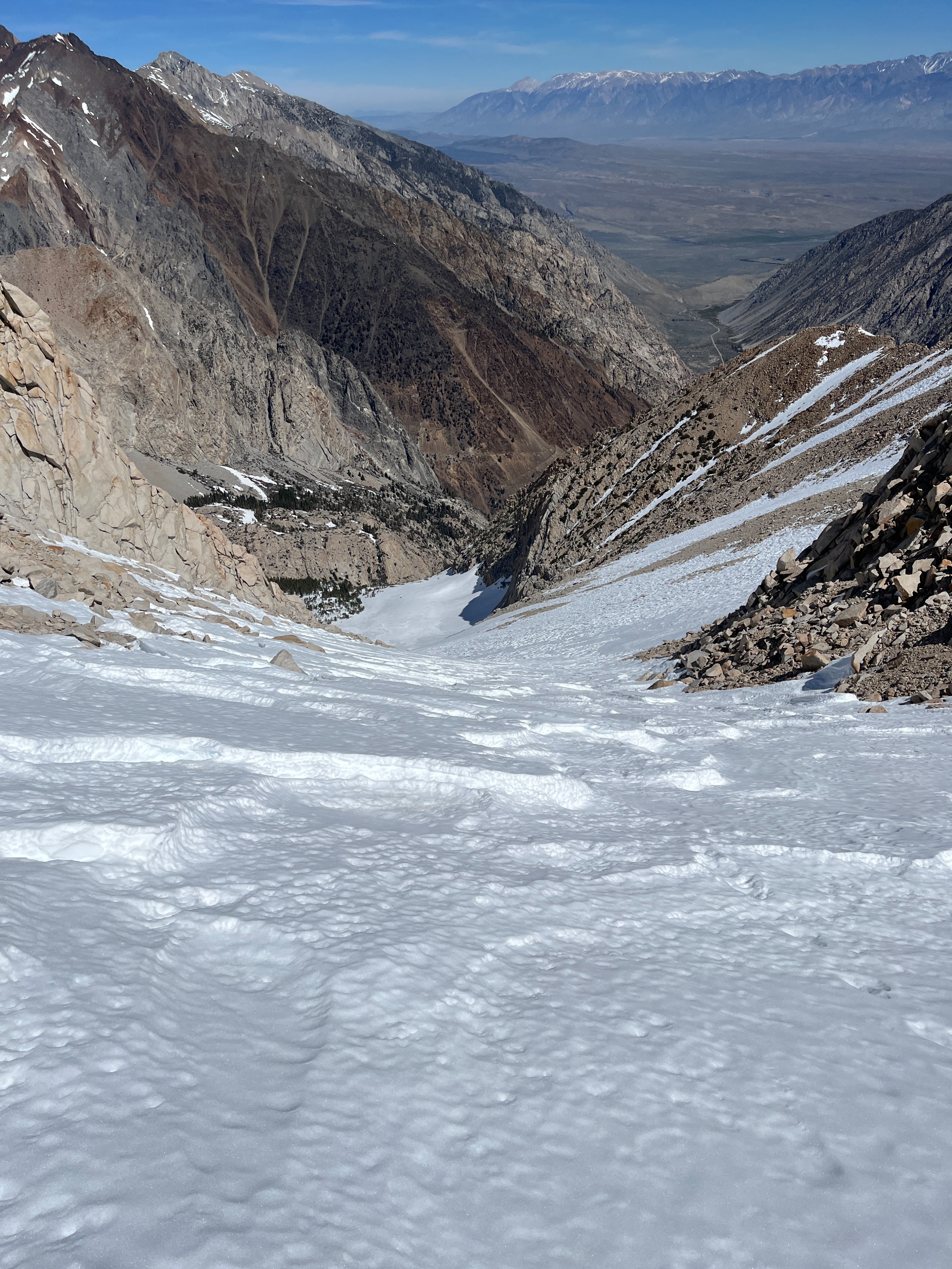
Lower angle and open northerlies were getting sun and starting to soften by 1230 pm on my ski down, and I skied supportable corn to 9500 ft. From 9500 to 8500 ft, the snow had become mostly unsupportable, and care had to be taken around snowbridges and creek crossings.
Weather
- Air Temp
- 50
- Cloud Cover
- clear
- Recent Snowfall
- none
Clear, very warm and light to moderate southwest winds.
Snowpack
Non-existent on northerlies below 8500 ft and southerlies up to 12000+.
Solid overnight radiational freeze despite well above freezing temps.
Most snow consists of melt forms on all aspects and elevations.
Upper elevation northerlies in this area were pen hard windboard and satrugi that softened some after 1pm.
I observed minimal signs of instability on my tour, but noted a recent wet loose avalanche, likely from yesterday afternoon based on photos.
Avalanche
- Size
- D1.5
- Type
- WL
- Aspect
- NE
- Trigger
- N
- Elevation
- 10800 ft
Likely occurred afternoon of 3/24