
Quick report
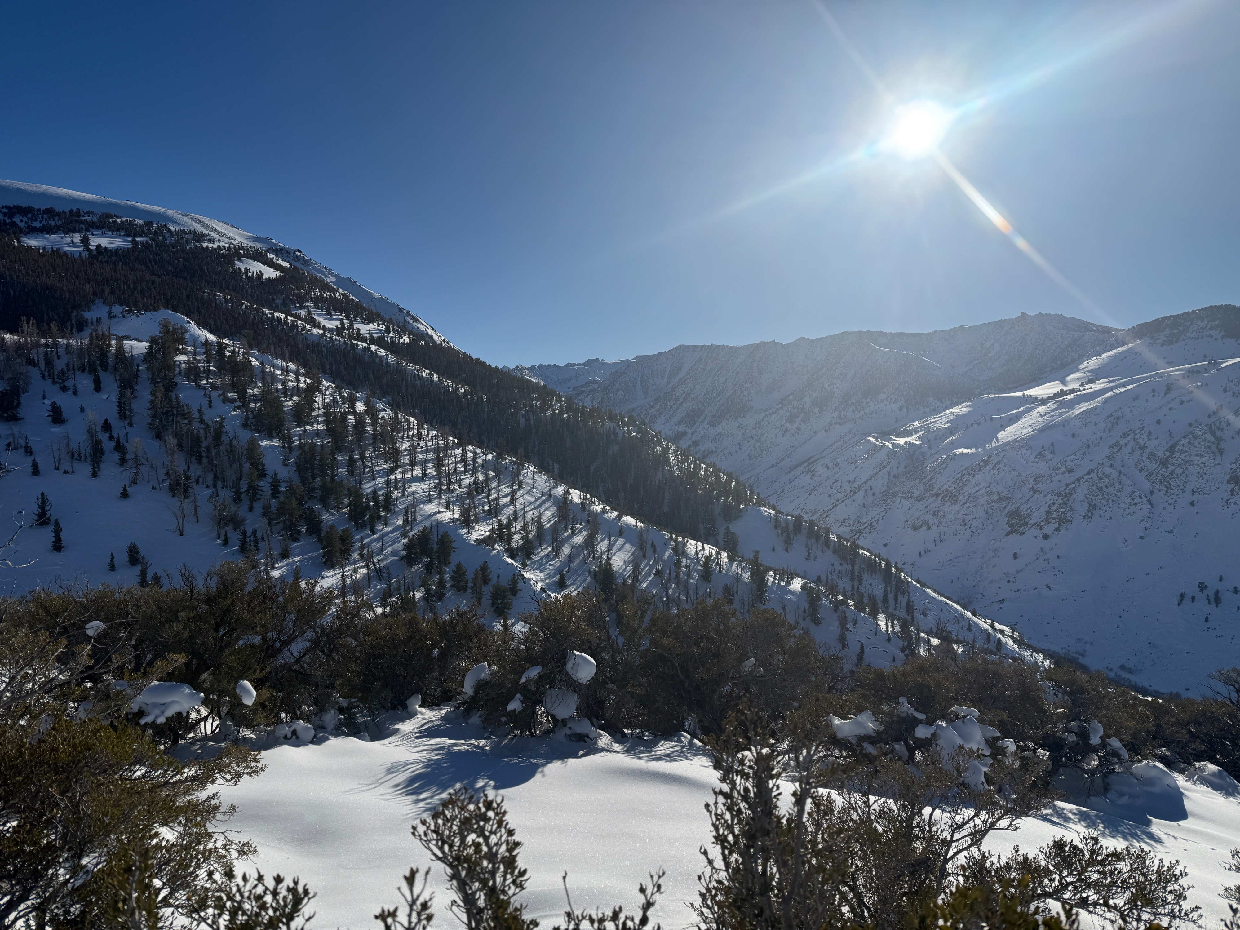
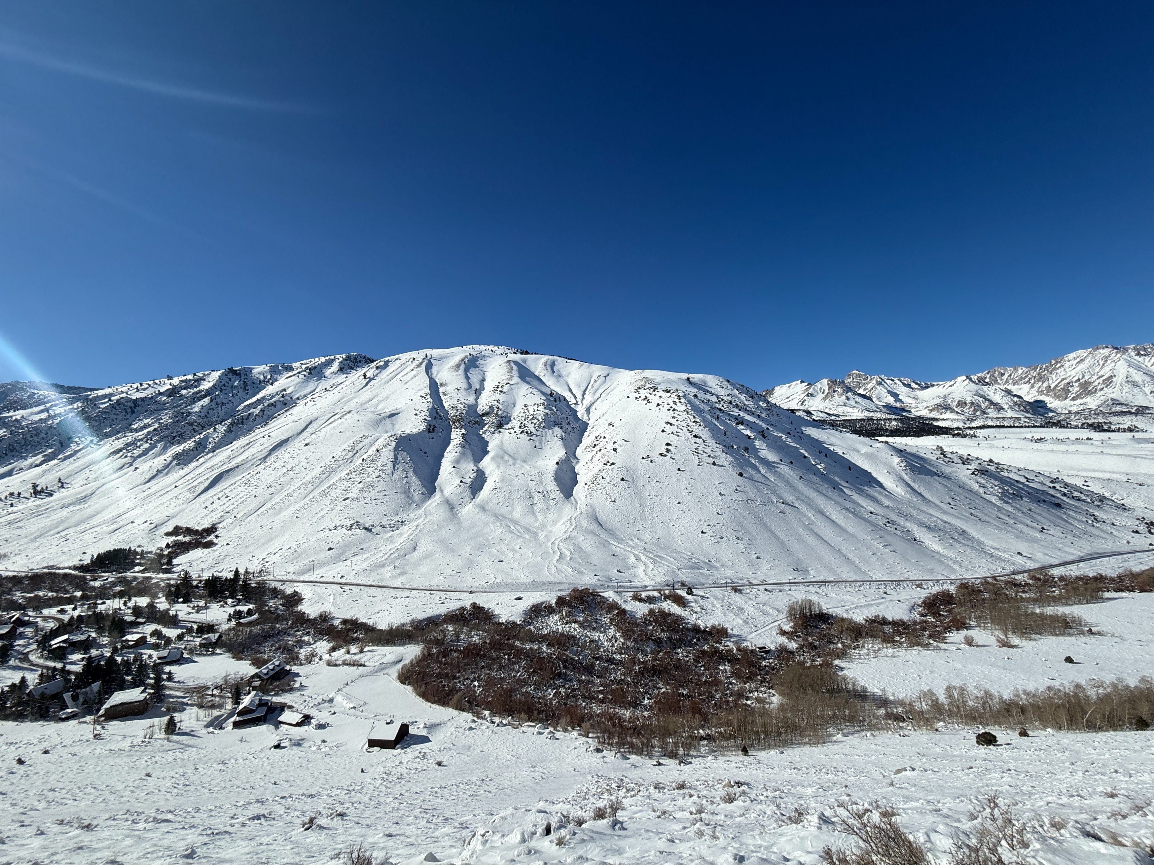
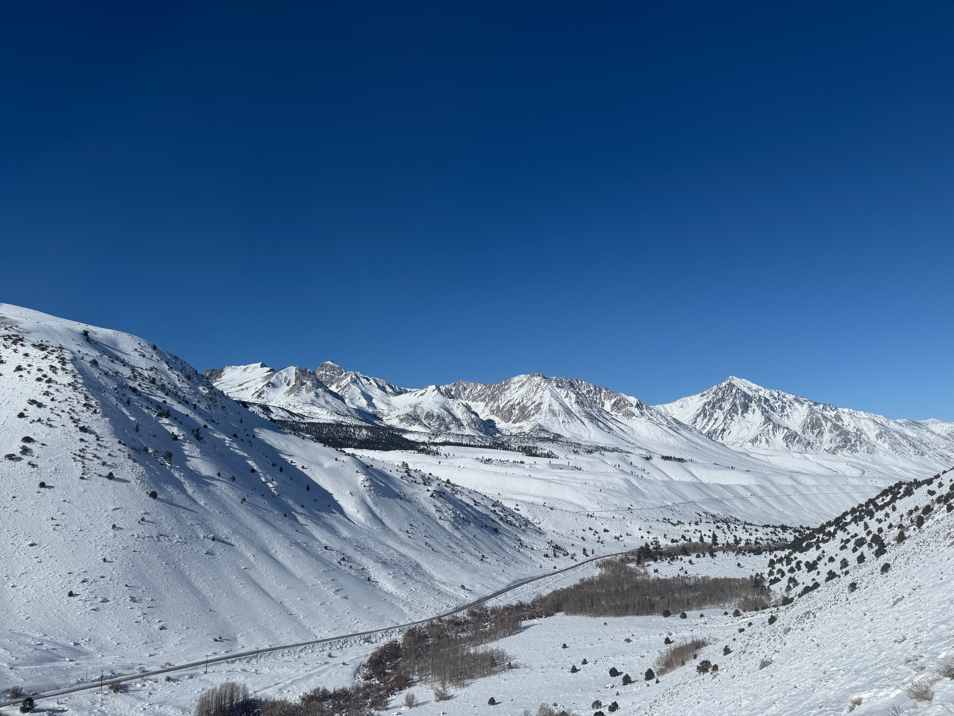
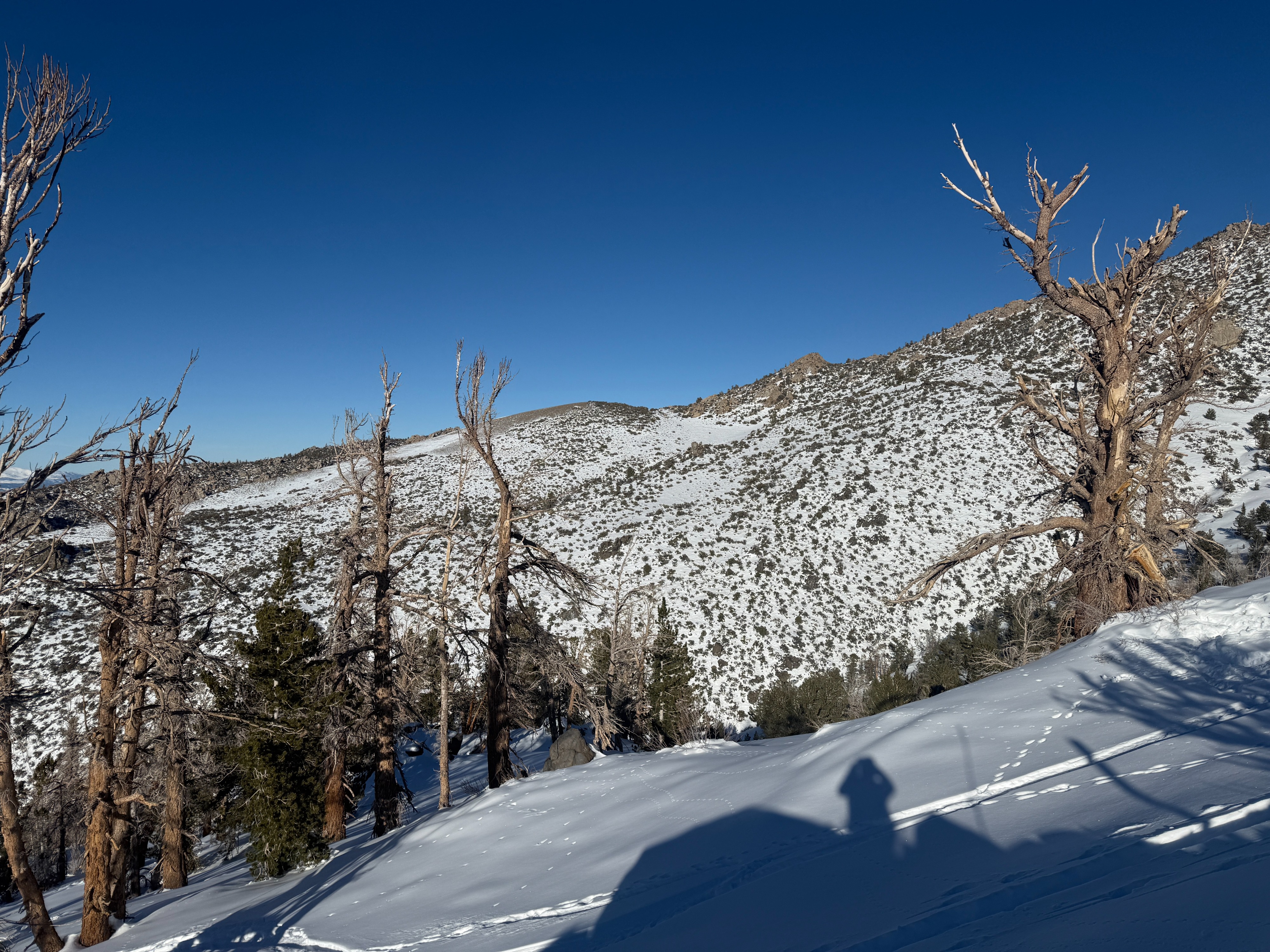
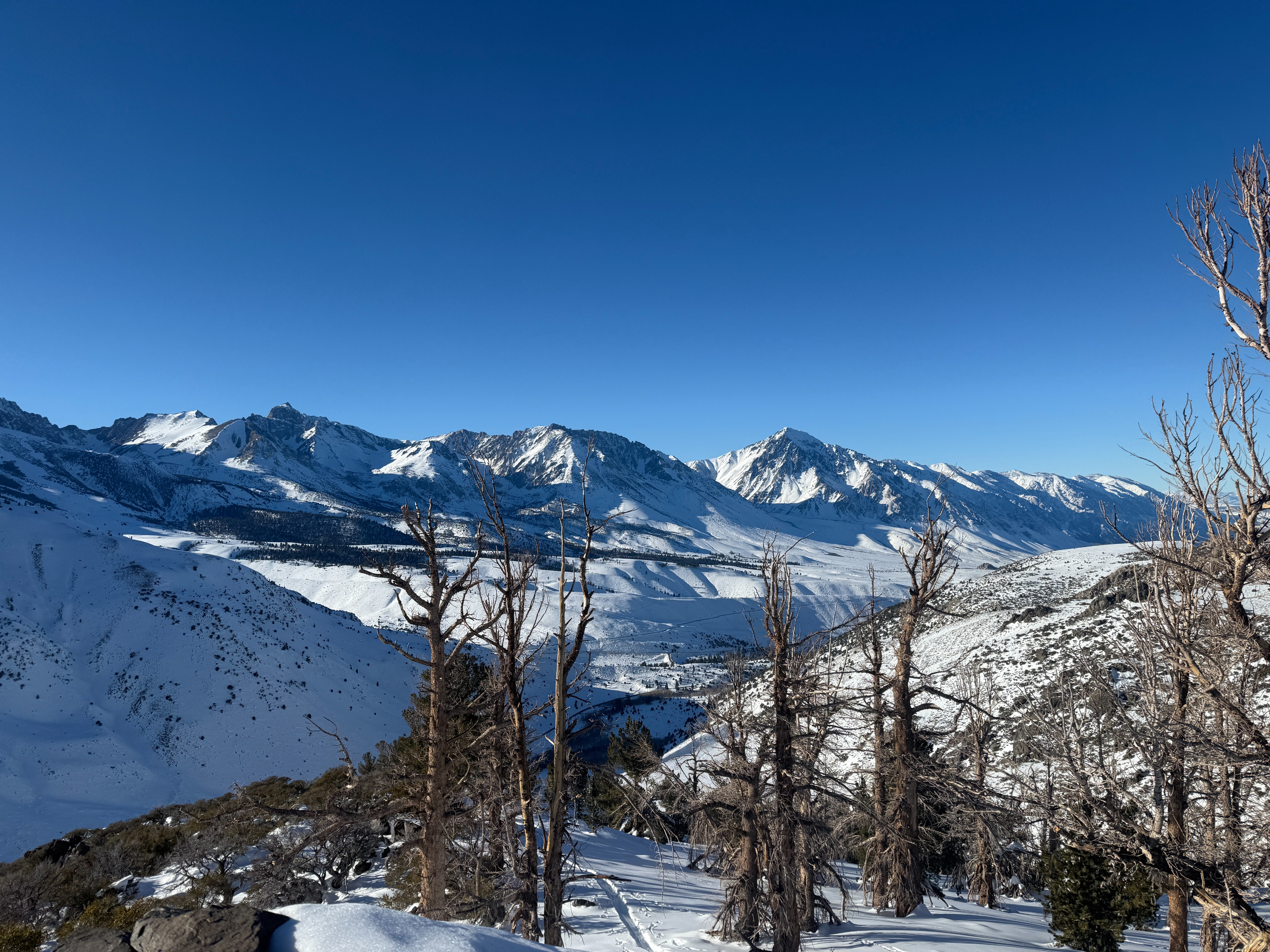
I went for a tour today in the Habeggers area to get a look at what snow is on the ground in the southern end of the forecast area.
- About a meter of right-side-up snow made for efficient and pleasant movement above 9k
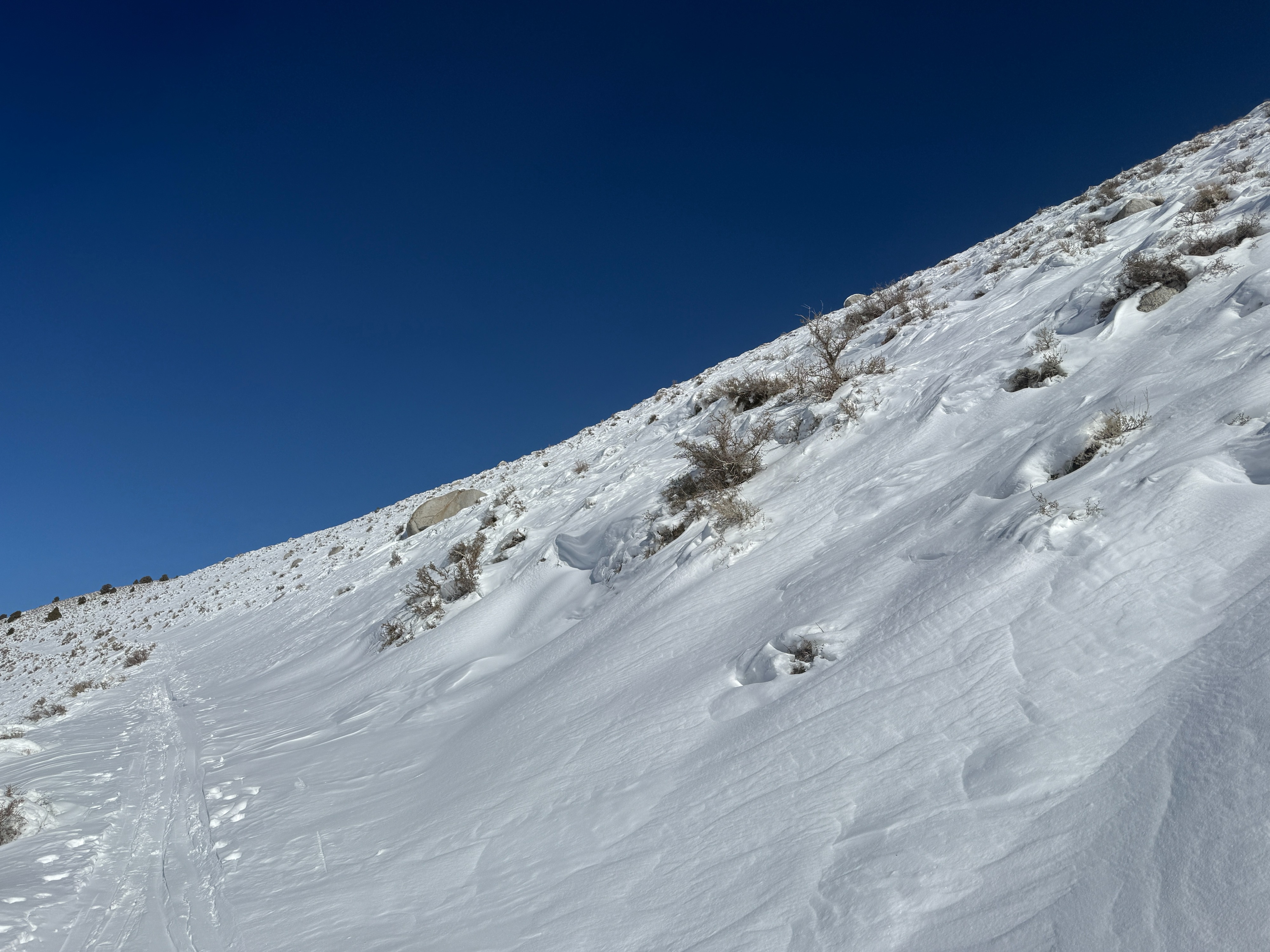
- Below 9k coverage was passable but felt thin. Wide skis helped confidence while dodging bushes and rocks.
- For the most part, the new snow from our Christmas storm is resting on dry ground.
- While I managed to sniff out some areas with old faceted snow at the base of the snowpack, these areas are isolated in this region, and no signs of instability were observed on my tour.
Weather
- Air Temp
- 34
- Cloud Cover
- clear
- Wind Loading
- none
- Recent Snowfall
- 100
- Snow Avail For Transport
- moderate amounts
It was a beautiful day in the Eastern Sierra with clear skies, calm winds, and pleasant temperatures. Northerly winds were evident at ridgetop with some decent banners along the skyline.
Snowpack
It took me some time, but I was able to find an area where the new snow is resting on a layer of old, faceted snow. I dug in to get an idea of how the structure may present in the southern part of the forecast area.
- Prominent catchment area mid slope on a north aspect at 9800'.
- I found just over a meter of snow in this location
- The top 80 cm or so is composed of settling storm snow, fist hard on the surface, transitioning to 1 finger as you move deeper into the pack.
- This is resting on about 20 cm of loose sugary snow (2-4 mm striated facets) with a thin crust at the interface.
- My stability tests highlighted this as a layer of concern, but I did not see propagation in my ECT test. (CT25 SC @20 cm, ECTX)
- While outside of the test parameters of my ECT, it is worth noting that I did see propagation on the facets with an extra hard hit from the shoulder