
Quick report
- Cracking
- specific
I went out today to feel our new snow and get a sense of our storm instabilities.
- Just as advertised, our new snow is quite deep. Ski pen ranged from knee- to hip-deep in sheltered areas along my tour. Breaking trail was strenuous, and movement downhill was slow and somewhat difficult while keeping slope angles 30° or less.
- Snowfall picked up substantially around 10 am, and rates as high as 2 in an hour were observed throughout the afternoon.
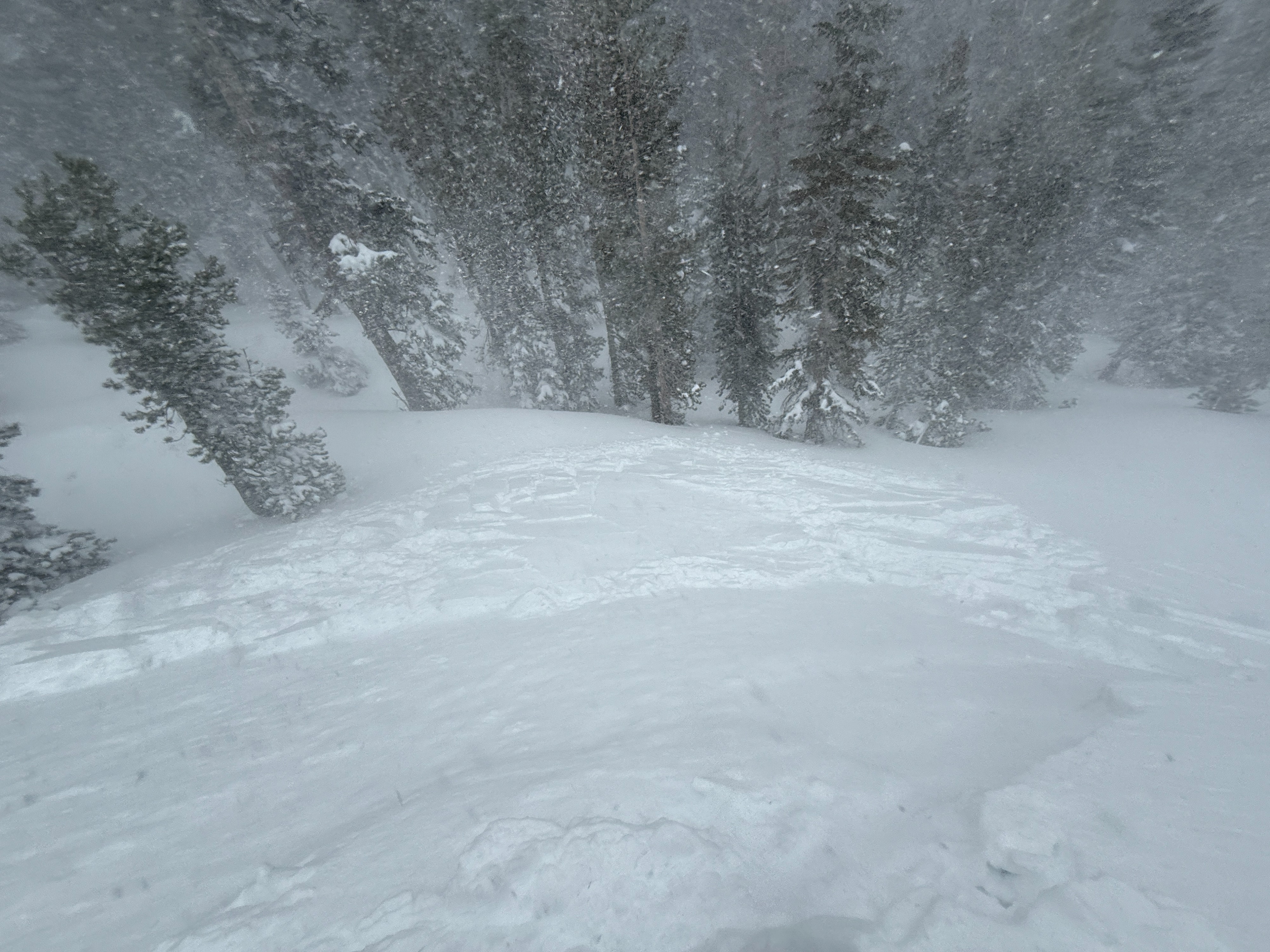
- The winds were honking with gusts in exposed areas reaching at least 50 mph (estimate). It is difficult to say for sure (I was getting blasted most of the day), but the winds seemed to increase throughout the afternoon. Intense blowing snow was observed in exposed areas, and periodic whiteout conditions kept things interesting.
- Our new snow has several density changes throughout, but for the most part, these were pretty slight changes(Fist to Fist +/4f-)
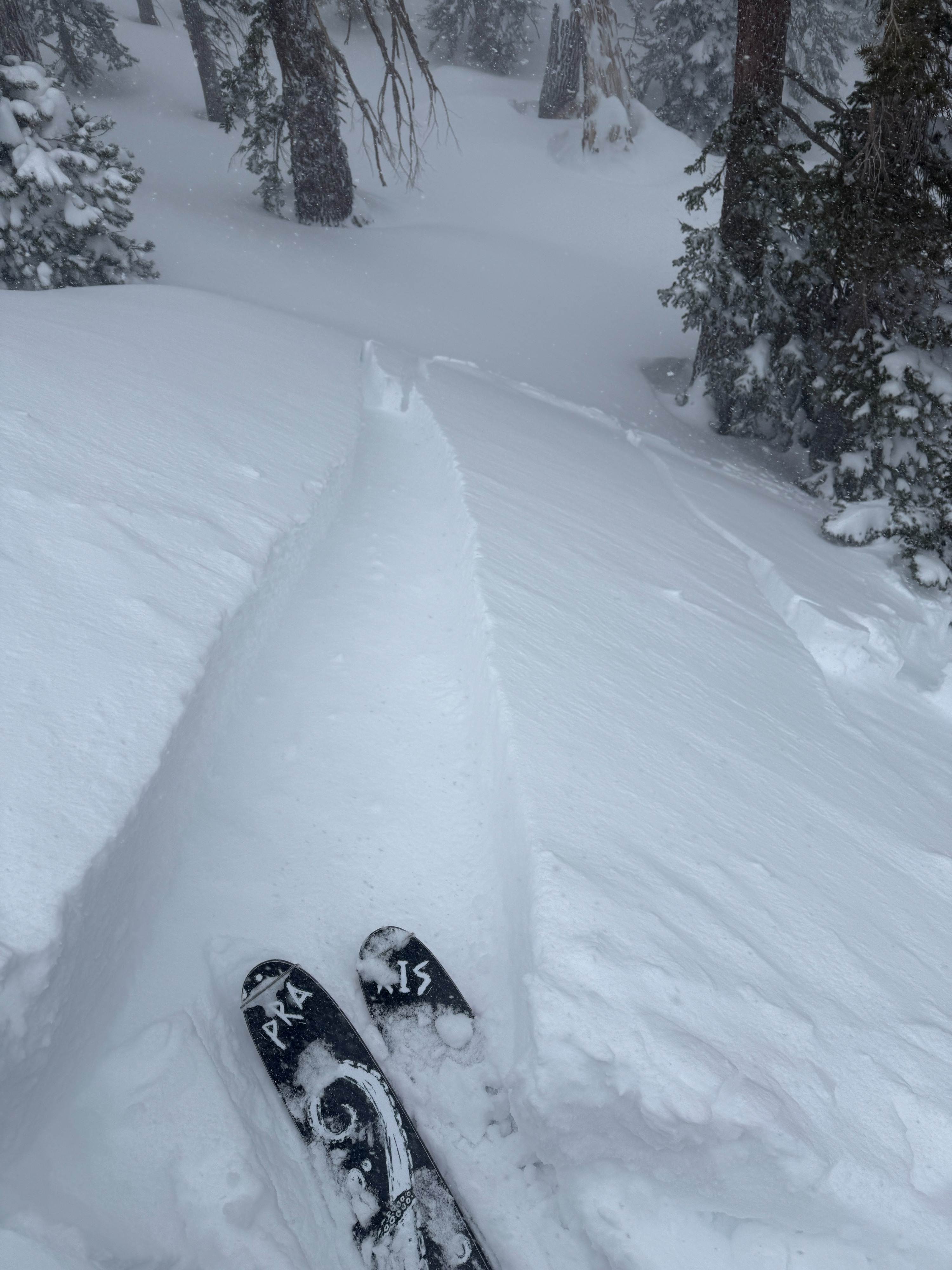
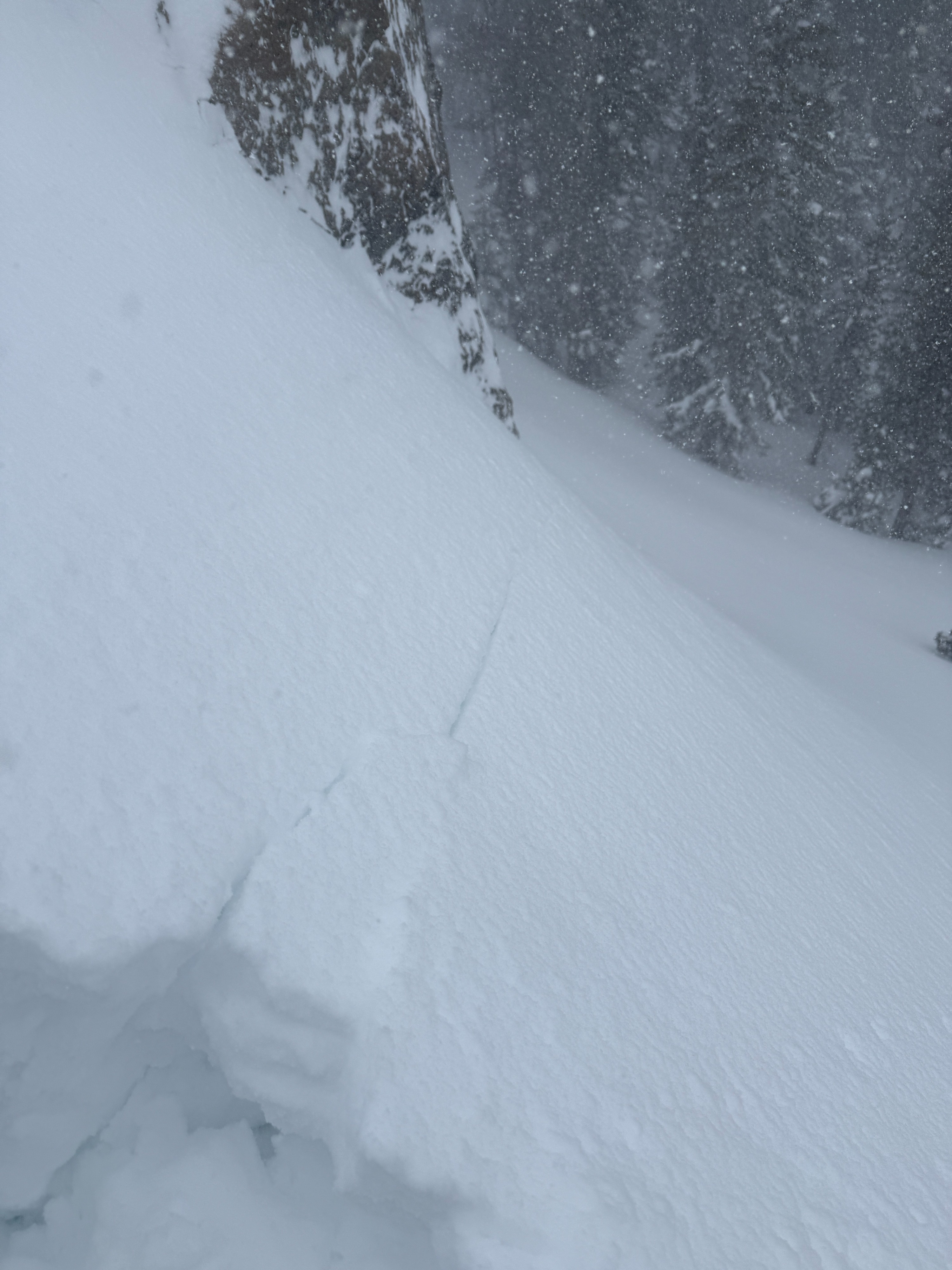
- I observed some cracking in the top meter of storm snow during my tour today. For the most part, cracking occurred immediately around my skis as I was breaking trail, but I observed longer shooting cracks in areas where the slopes were steeper and the surface snow was slightly more settled.
- I was able to initiate a couple samll storm slabs on steep test slopes. slab depths ranged from about ~8" to 20"~
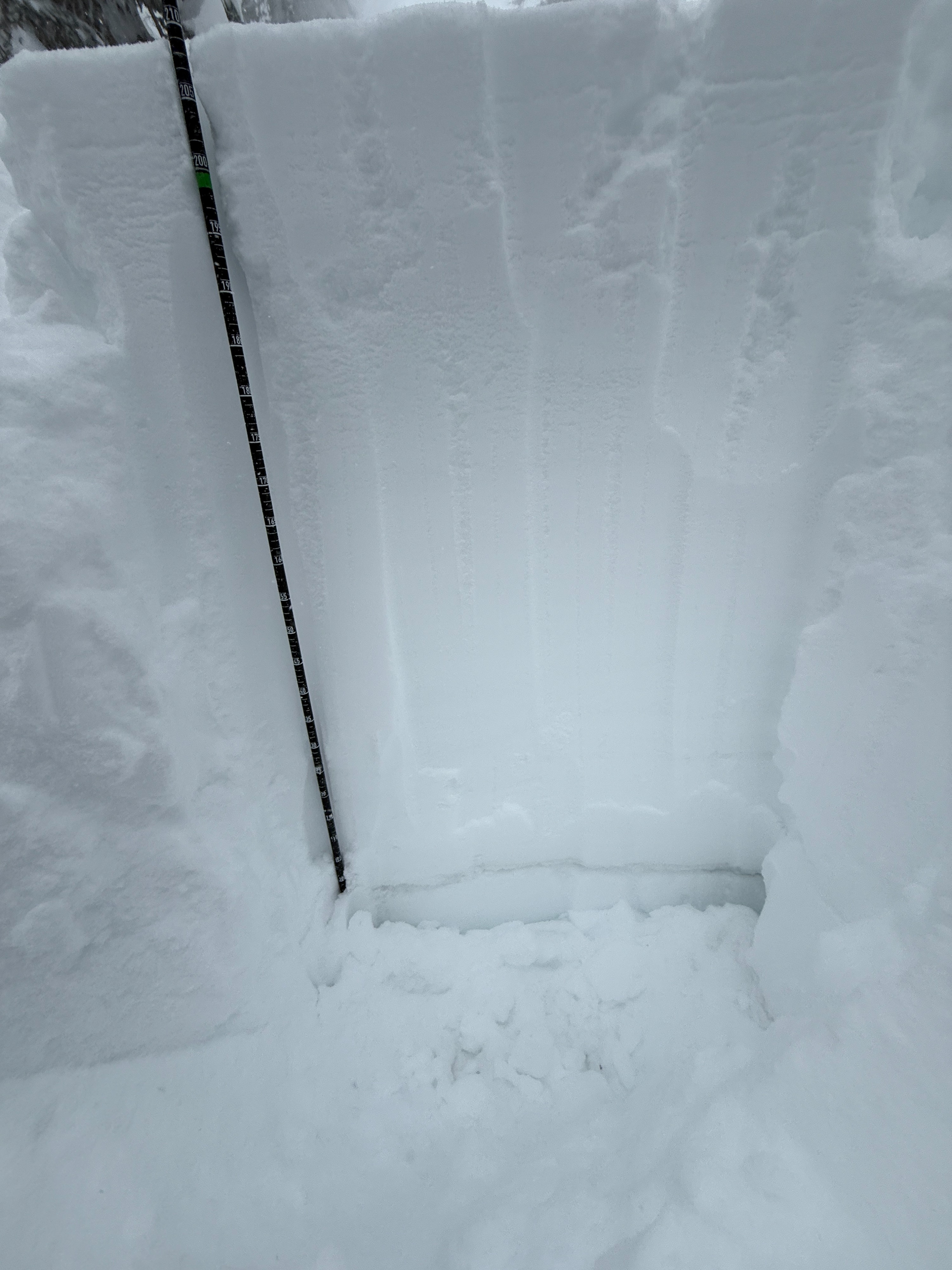
- I dug a quick pit at 8700' on a NE aspect and found 100cm of unconsolidated snow. (from the storms on 2/11 and 2/16-17) Below this, I found a 1.5cm-thick, pencil-hard crust resting on 4-finger hard, 2 mm facets. I did not conduct any formal stability tests, but this structure makes me a bit nervous for the future as we start to see this new snow settle into a more cohesive slab.
Weather
- Air Temp
- 15
- Cloud Cover
- overcast
- Wind Loading
- intense
- Recent Snowfall
- 80
- Snow Avail For Transport
- large amounts
Heavy snowfall and strong to extreme southwest winds throughout my tour. Snowfall rates exceeded 2" per hour at times. Winds seemed to be picking up a bit this afternoon.
Avalanche
- Size
- D1.5
- Type
- SS
- Aspect
- NE
- Trigger
- AS
- Elevation
- 8600 ft
I intentionally triggered a small storm slab avalanche on a test slope around 1200 today. 8600' NE aspect. I would describe the problem today as reactive and specific in distribution.