
Quick report
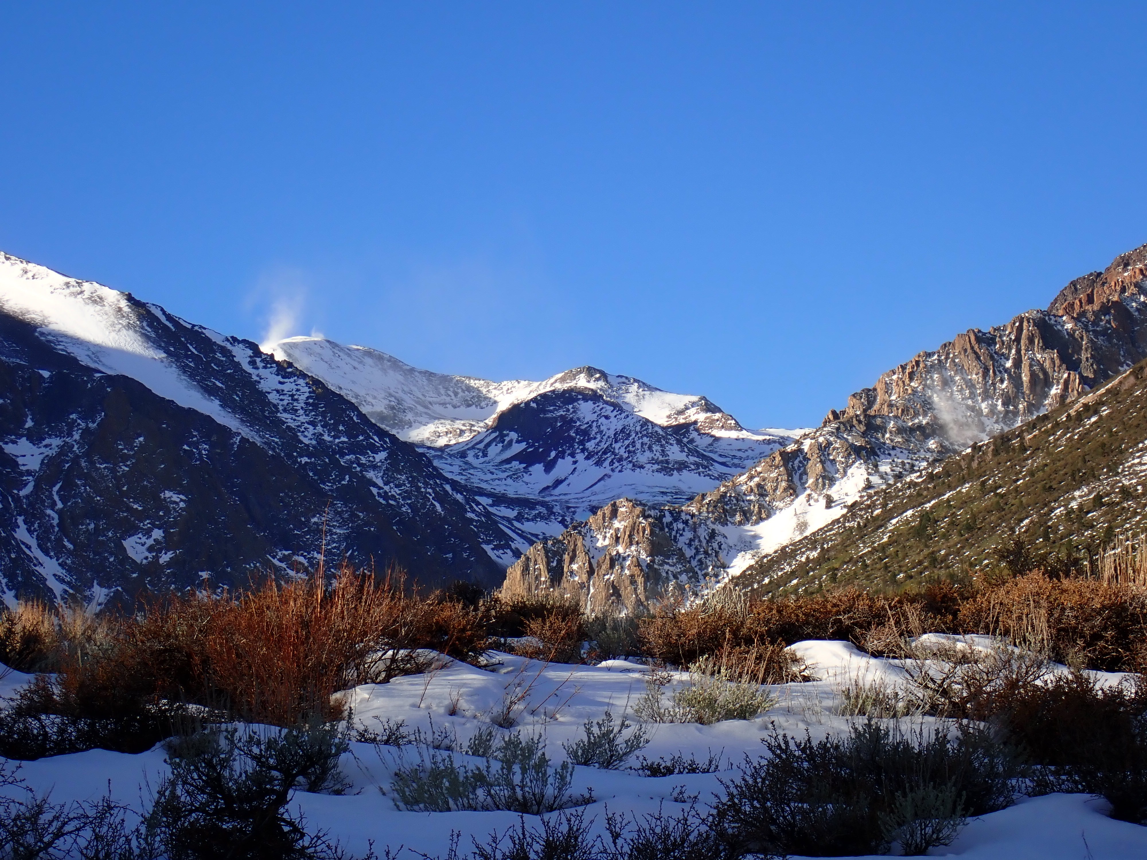
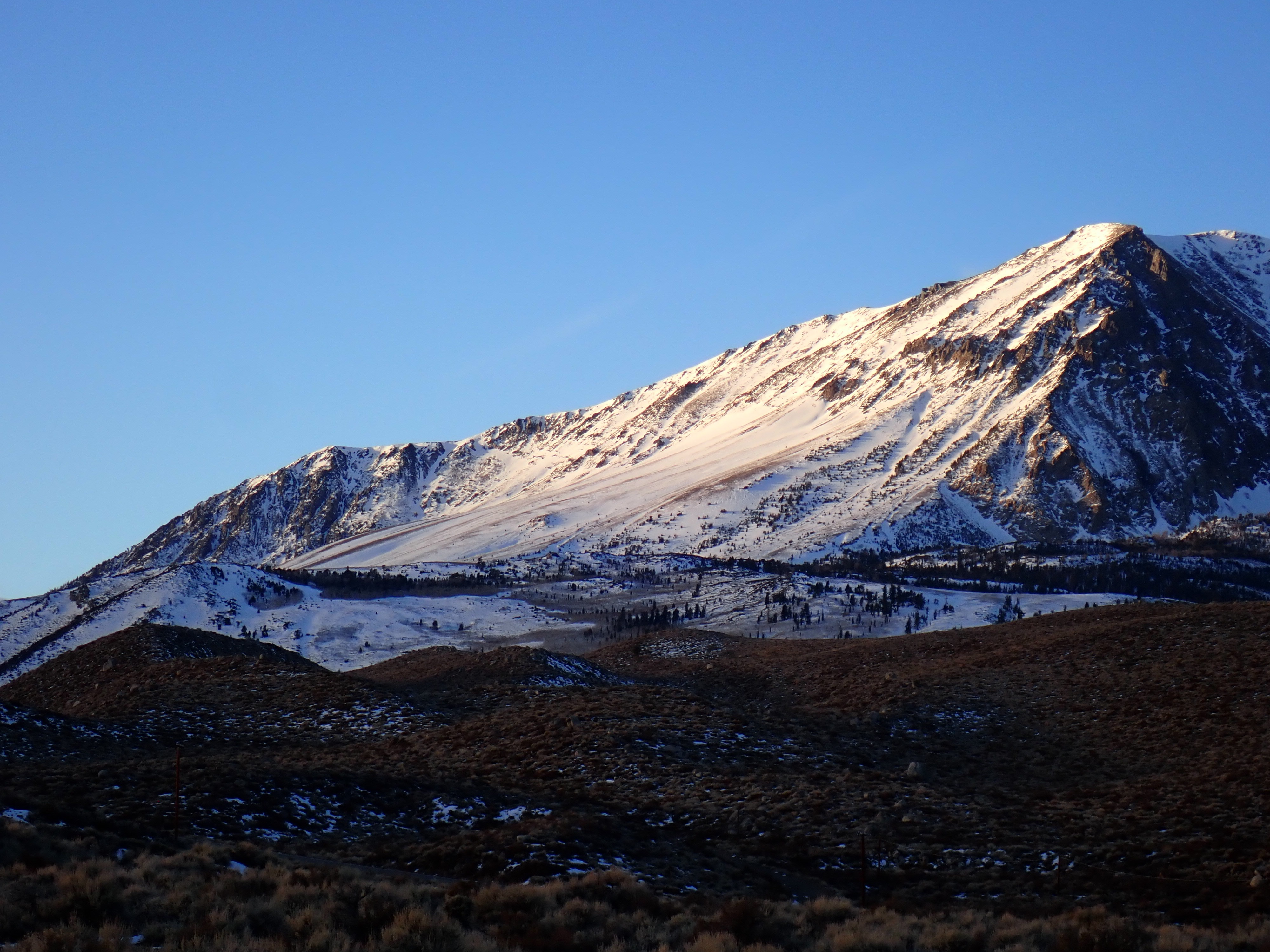
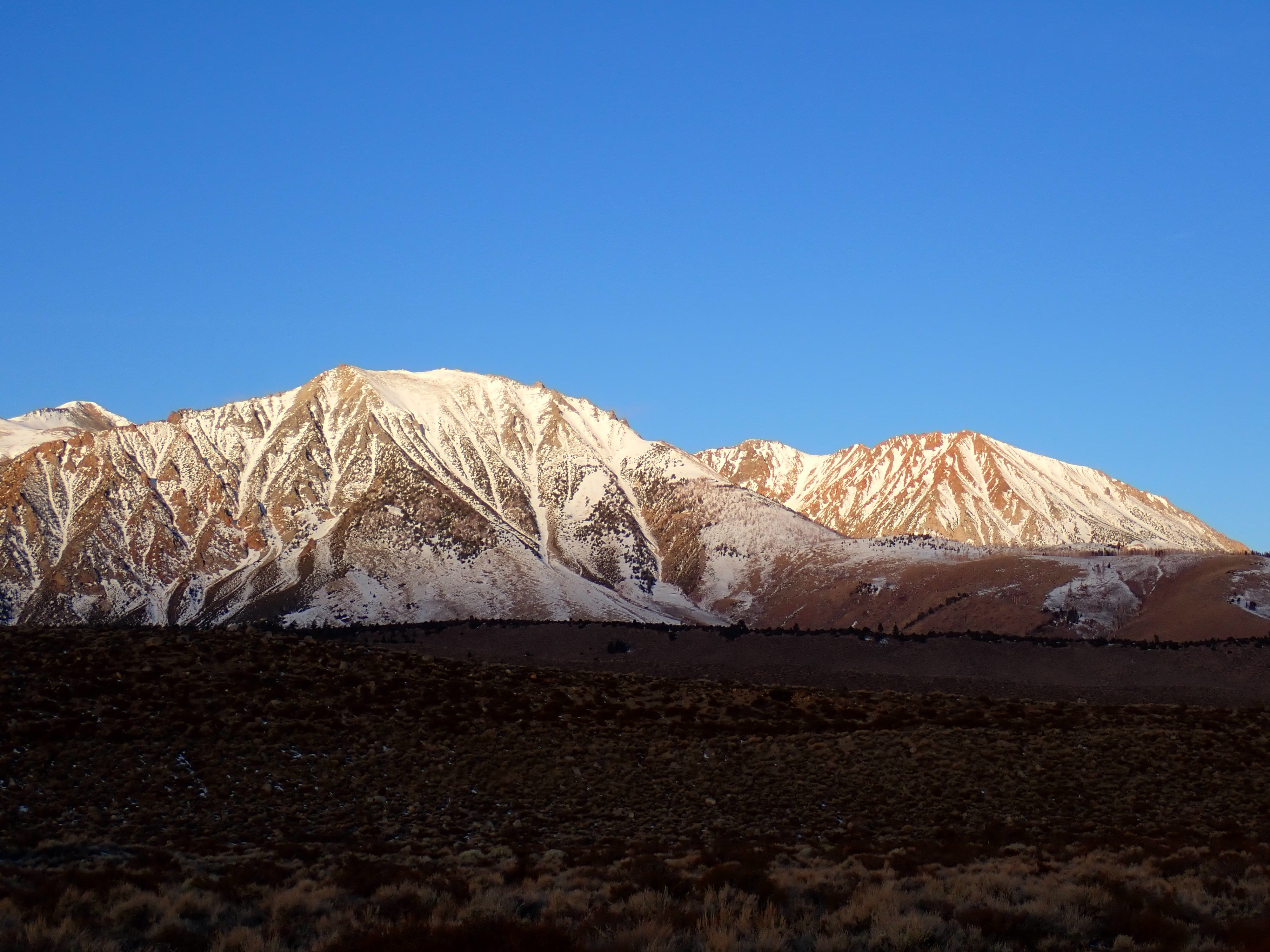
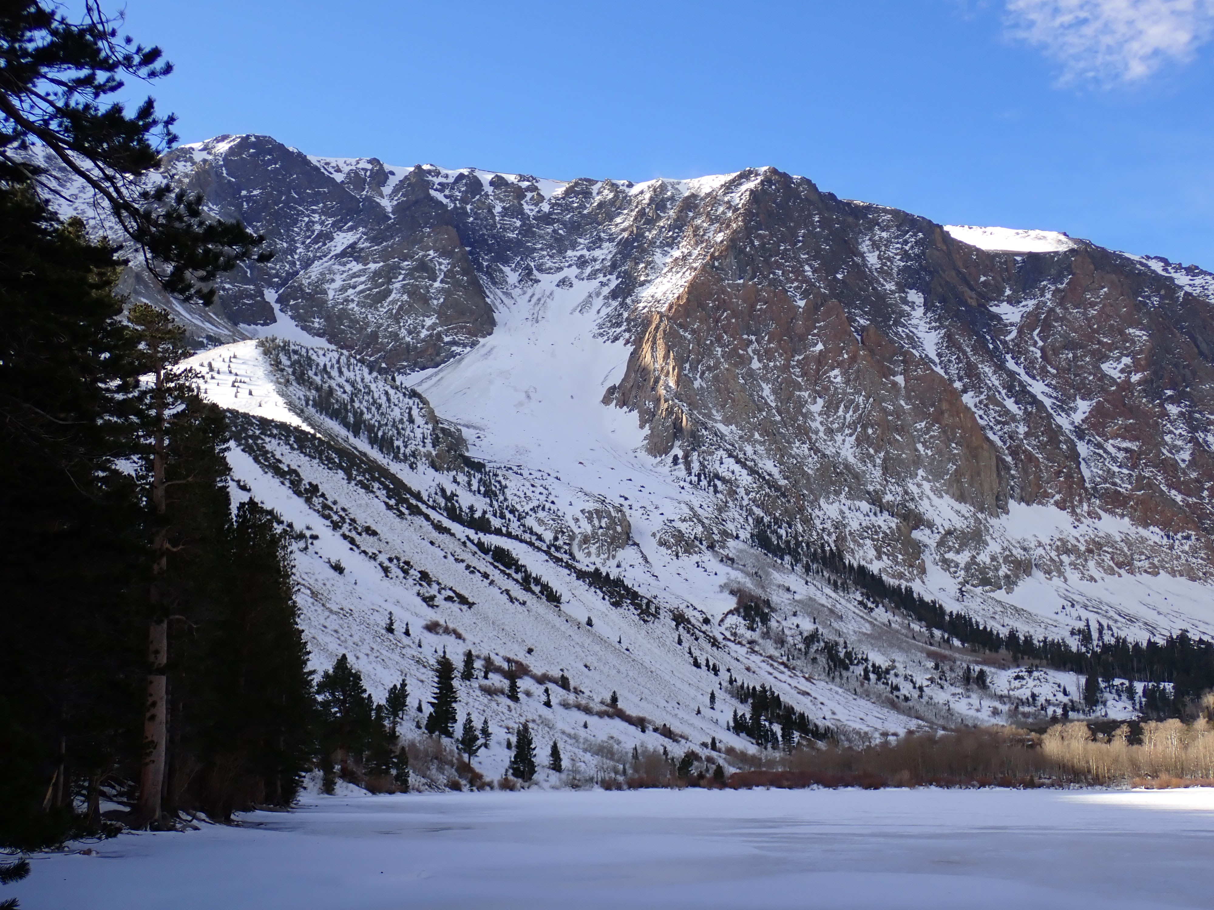
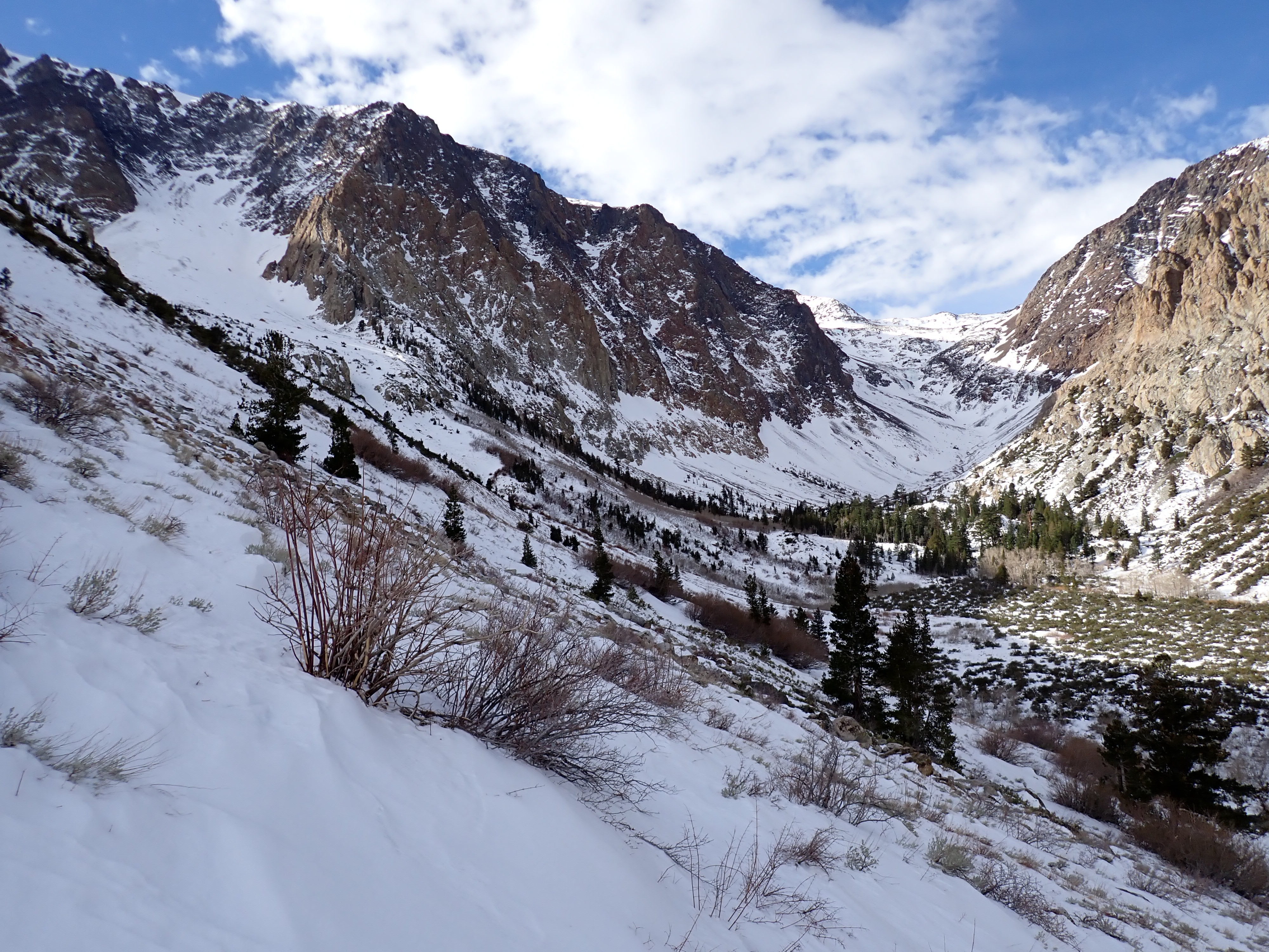
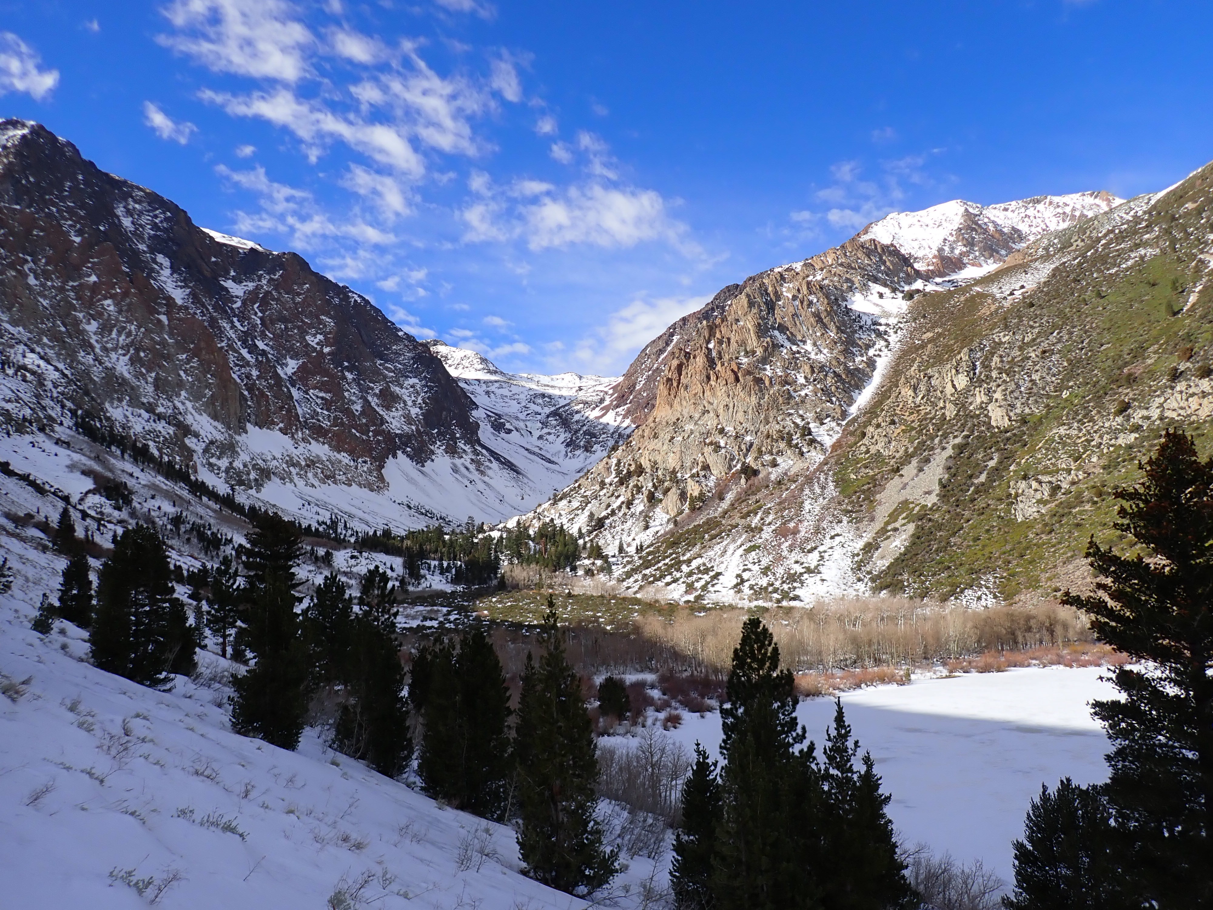
I hadn’t traveled to the northside yet this winter. My original thought was to ski the east face of Mt Wood, but it doesn’t have slope-scale snow coverage. You could probably make some turns down sidewalls of the gullies. The approach from Silver Lake looks like dirt to the bench. I drove around and kept looking. Snow coverage is thin around Mt Wood-Parker Peak-Mt Lewis. Few lines can be found connecting top to bottom, and north-facing aspects helped. I opted to go check out the apron of the north-facing couloir on Parker Peak. More continuous-looking snow cover can be found on Dana. THE APPROACH: Snow coverage was mostly bare on sunny aspects and between intermittent and barely-covered in other areas. The snow was thin but supportable to skis, and I was able to make it from the trailhead to Parker Lake mostly on skis with some determined route finding. Best travel could be found by staying near the trail and looking for a combination of shade and shelter (lightly treed areas toward the creek). Ridges and bushes looked heinous. The route down was more treacherous – all travel and no turns.
Weather
- Cloud Cover
- scattered
- Wind Loading
- moderate
- Recent Snowfall
- 0
- Snow Avail For Transport
- moderate amounts
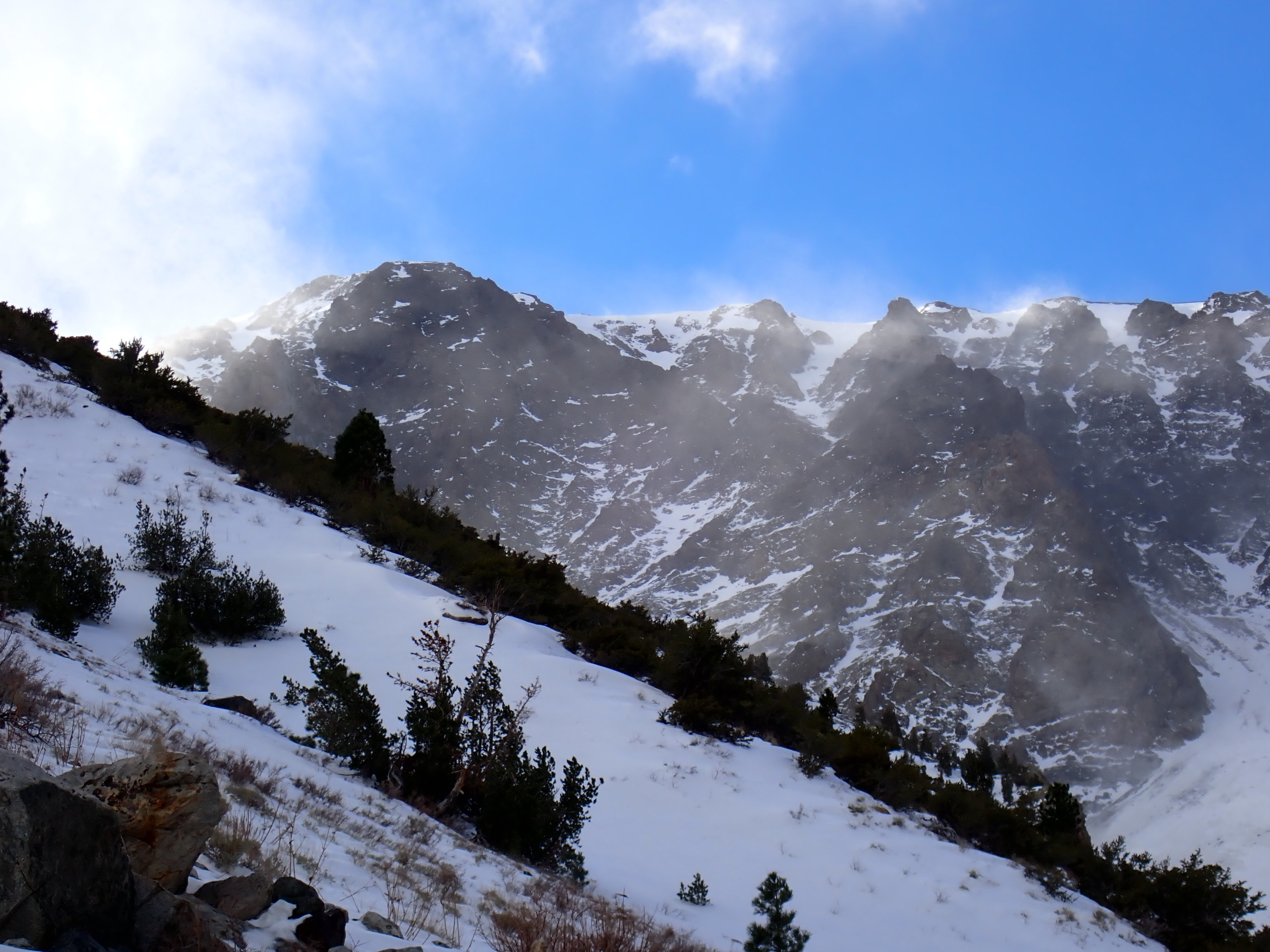
Winds were swirling around all directions but looked like W-SW at ridgeline. Initially they were occasionally gusting to moderate, but this increased in intensity and frequency during the day, becoming strong+ at noon. Cloud cover also increased with the incoming stormy weather. Whether from the wind or temperature drop, it felt colder as the day went on. There was a very light misty rain in the air when I got back to the trailhead.
Snowpack
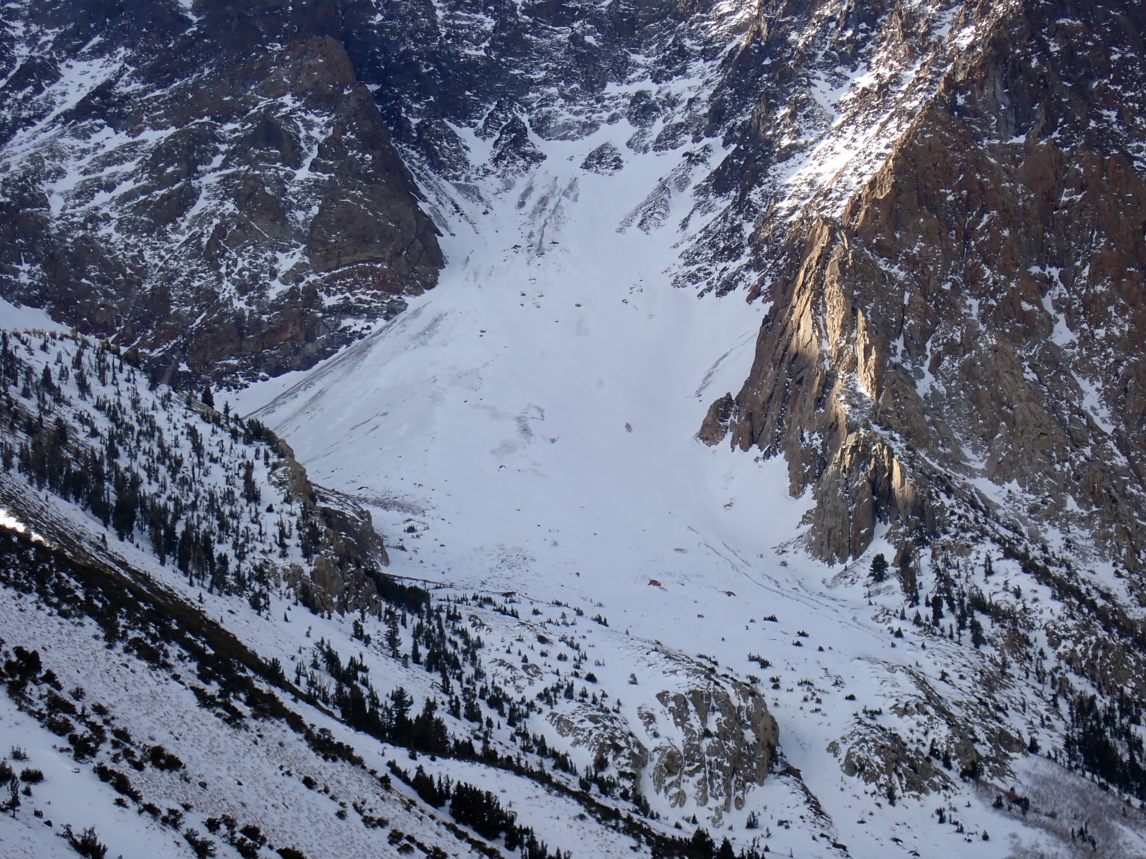
Even though my car was reading temperatures above freezing for the whole drive (39F at Mammoth before sunrise!) and the air temperature felt warm at 8am, the morning snow surface was cold and dry. (Yay for long wave radiation!) Most of the snow up to 8600’ has a surface melt-freeze crust of some sort, variable in thickness up to about an inch. In some places it is less developed, but more open places had an impressively smooth and slick ice glaze 1/8-1/2” thick. In the flats, travel wasn’t too bad. On near treeline slopes, the ice glaze was hell, and I turned back before reaching the alpine. There were small patches of soft F-4F snow on top of the ice glaze and some recent wind pockets built up on the side rib. These were very small and discontinuous (max. 6” deep and size D0.5) and not reactive. Looking up at the couloir apron, it looked like snow cover was thinner than I had imagined and the looker’s left half looked like very old snow. In the general area, apron–level held the most snowload, but even this loading was terrain-driven. At the lake (about 8300’) the snow had moistened and was becoming wet at the surface at 1200. Winds picked up during the day, and I didn’t trust higher elevation surfaces to soften. Despite probable hard surfaces from recent warm days and wind events, there was a moderate amount of wind loading in the alpine – both at ridgeline and mid-slope. Snow plumes were jetting high into the air, and I would guess more snow was lost than loading but I cannot confirm this.