
Quick report
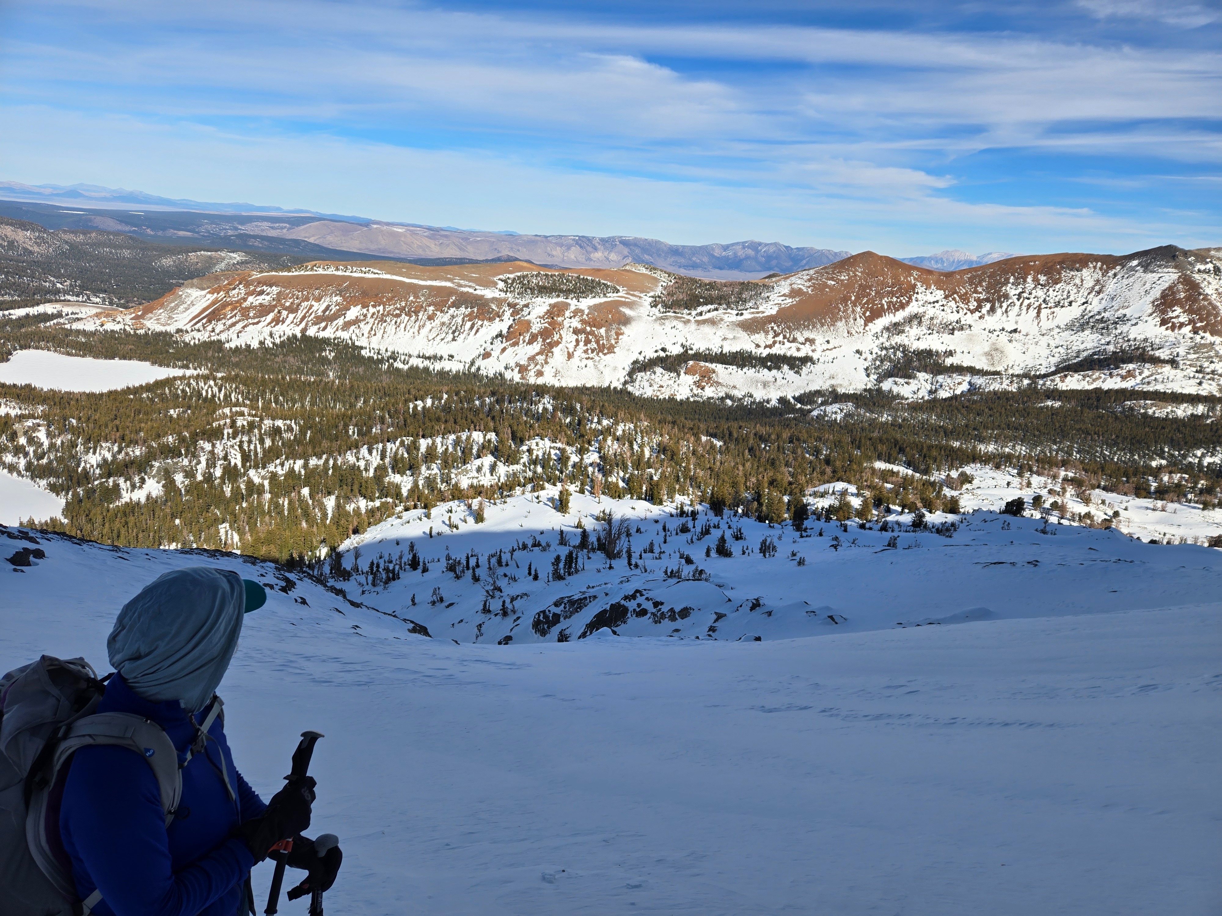
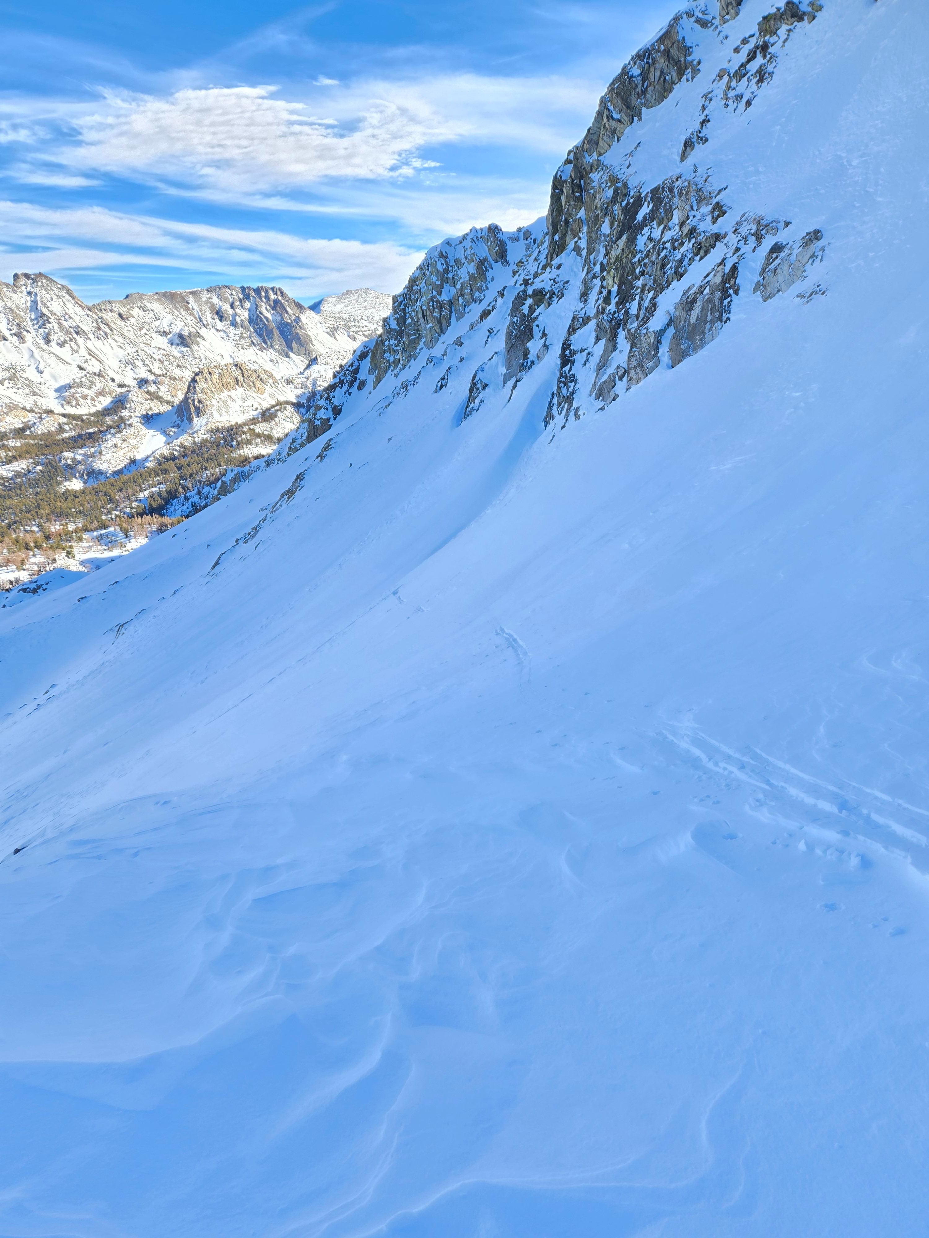
We went directly to the upper elevations on the Mammoth Crest to look into the snowpack and then track the layering we found across multiple slopes.
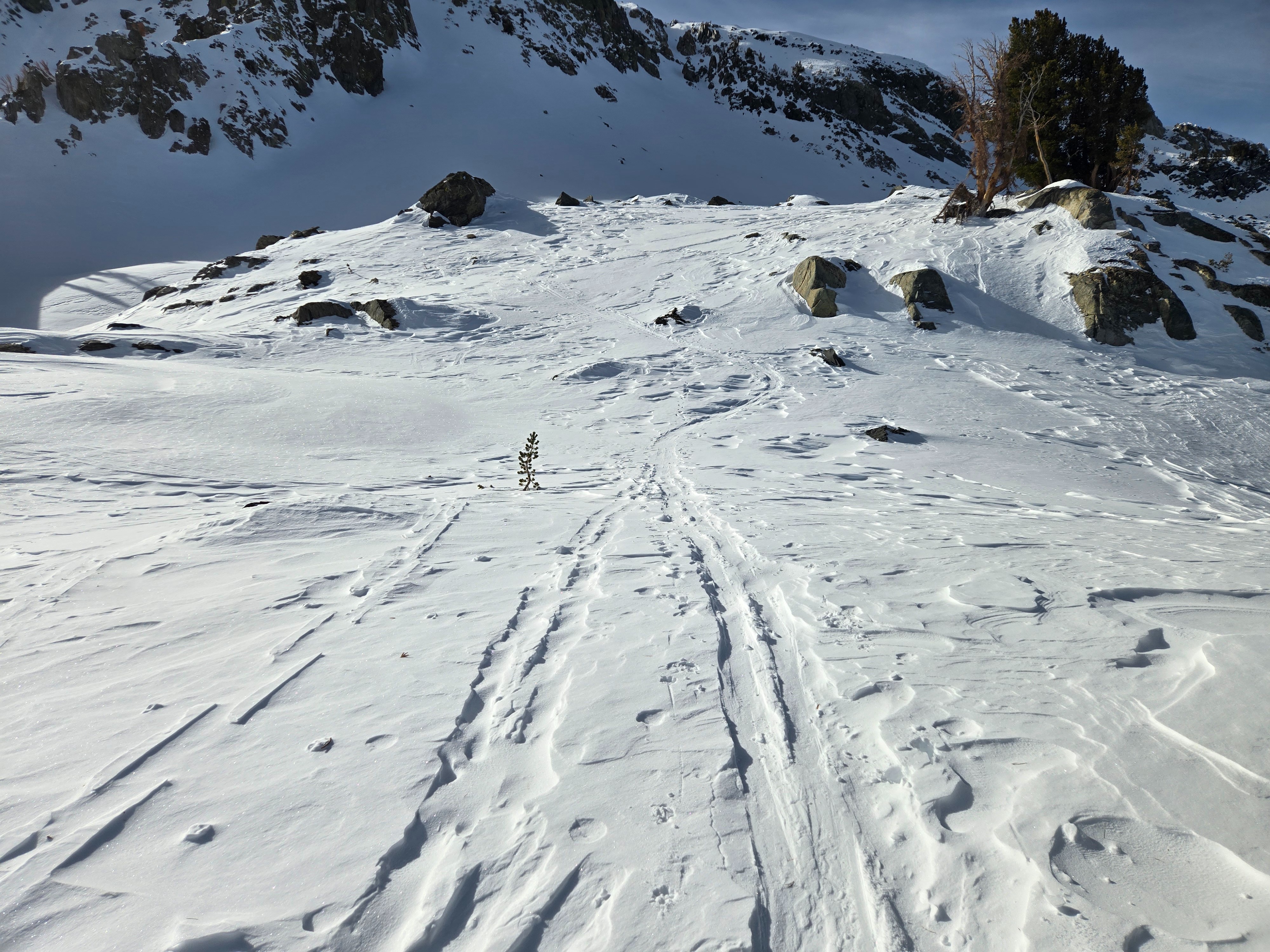
- We stomped and skied across many steep slopes and features with old, hard wind slabs. We skied steep pitches near and below treeline as well. We saw no signs of instability.
Weather
- Air Temp
- Above Freezing
- Cloud Cover
- scattered
- Wind Loading
- previous
- Recent Snowfall
- 0
- Snow Avail For Transport
- small smounts
Slight increase in clouds and winds in the afternoon, but otherwise a sunny, calm day.
Snowpack
The snow that fell 12/29 is faceting on protected northerly slopes. It rests atop crusts and more settled (4F) older snow.
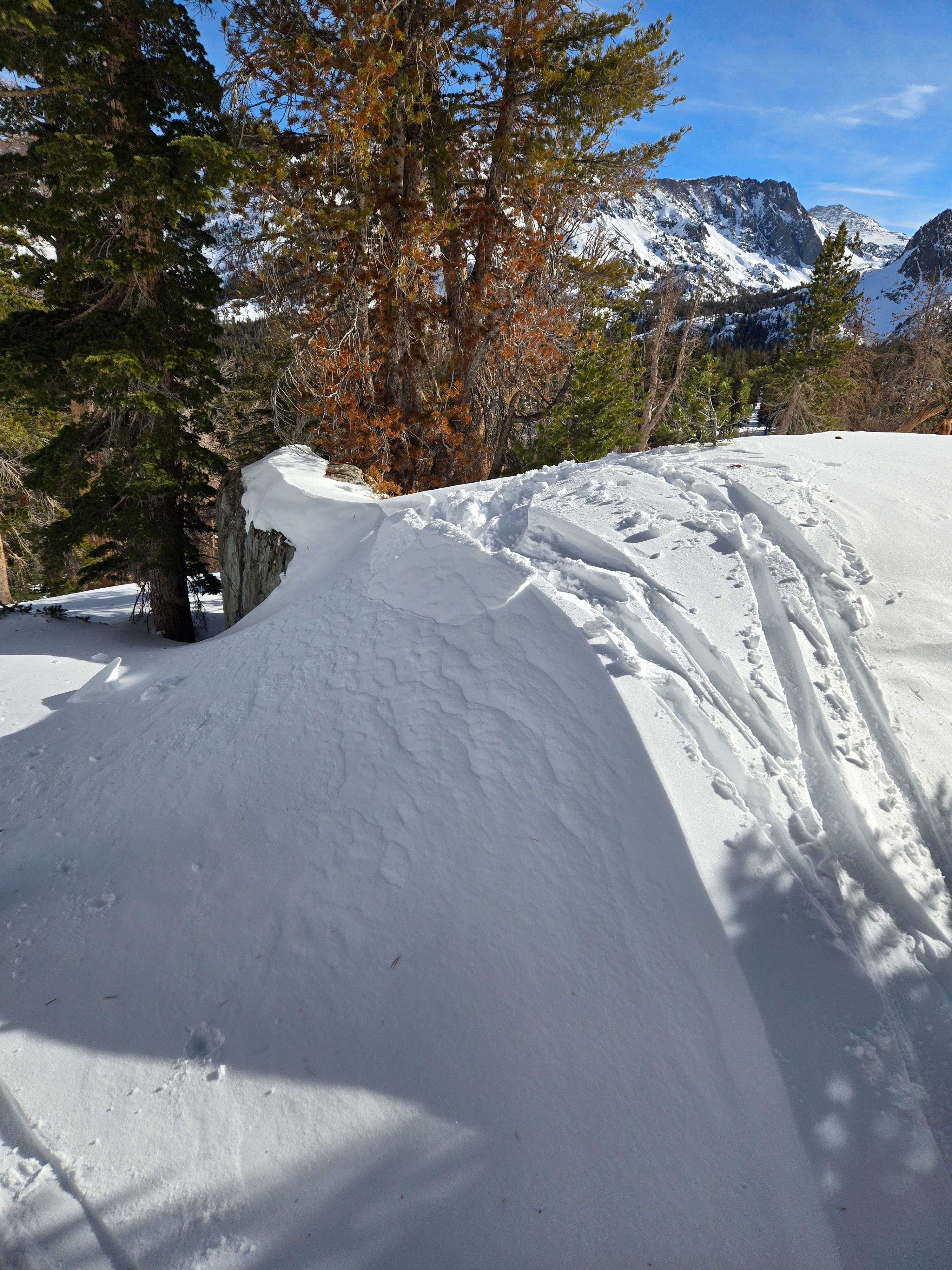
The snowpack is deepest and strongest where the winds of the past few weeks have done their work of hammering more snow onto the slope.
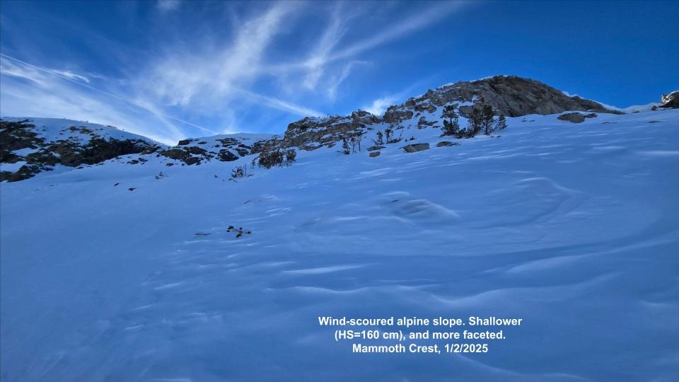
The snowpack where winds have removed snow from the slope is shallower and more faceted (weaker).
We dug a snow pit on the leeward side of a typically wind-loaded alpine ridge. The upper snowpack is a layer cake of hard wind packed layers and softer snow between. The snow depth here was over 2 meters and the temperature gradient was mostly weak (meaning little faceting).