
Quick report
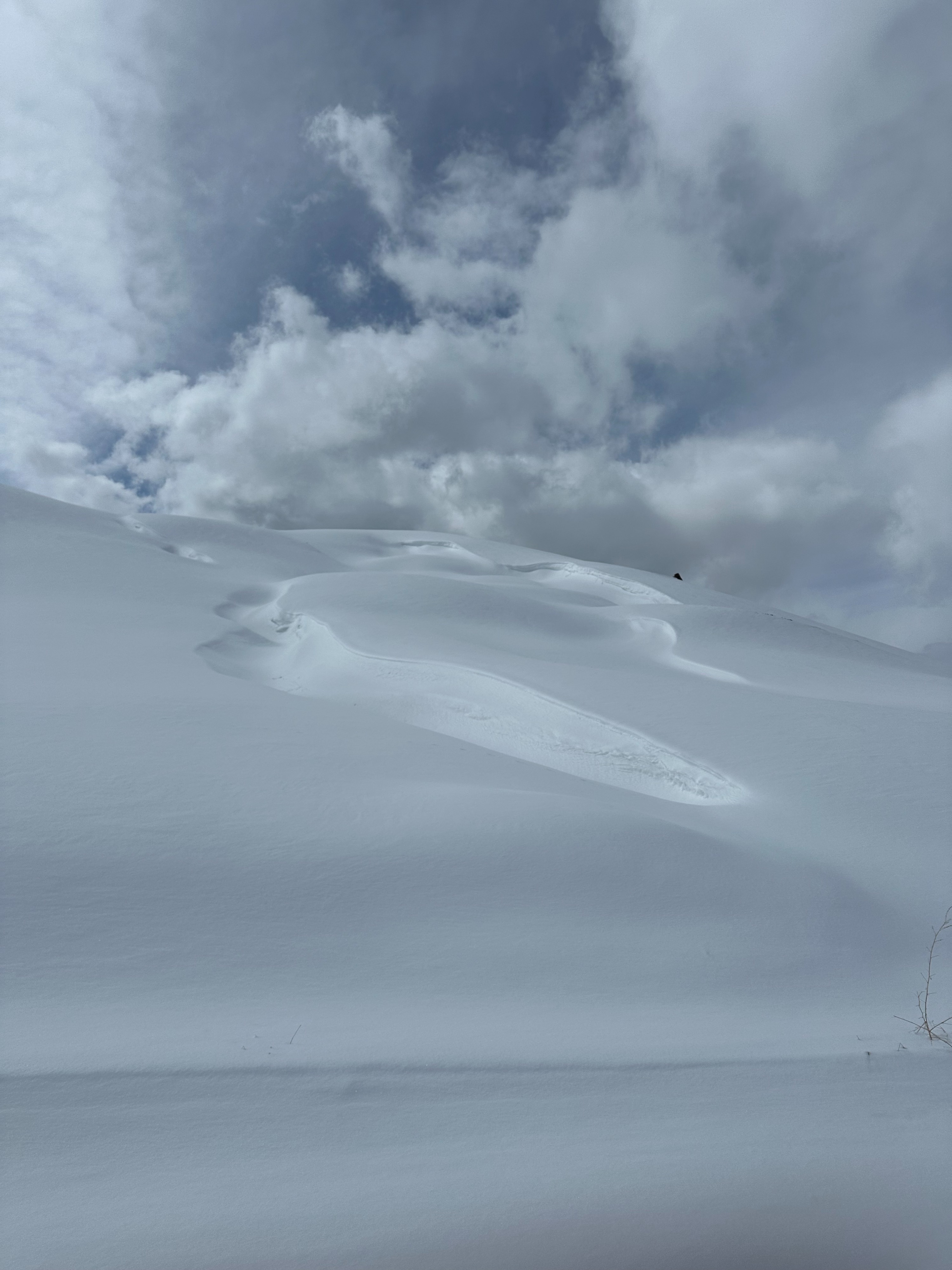
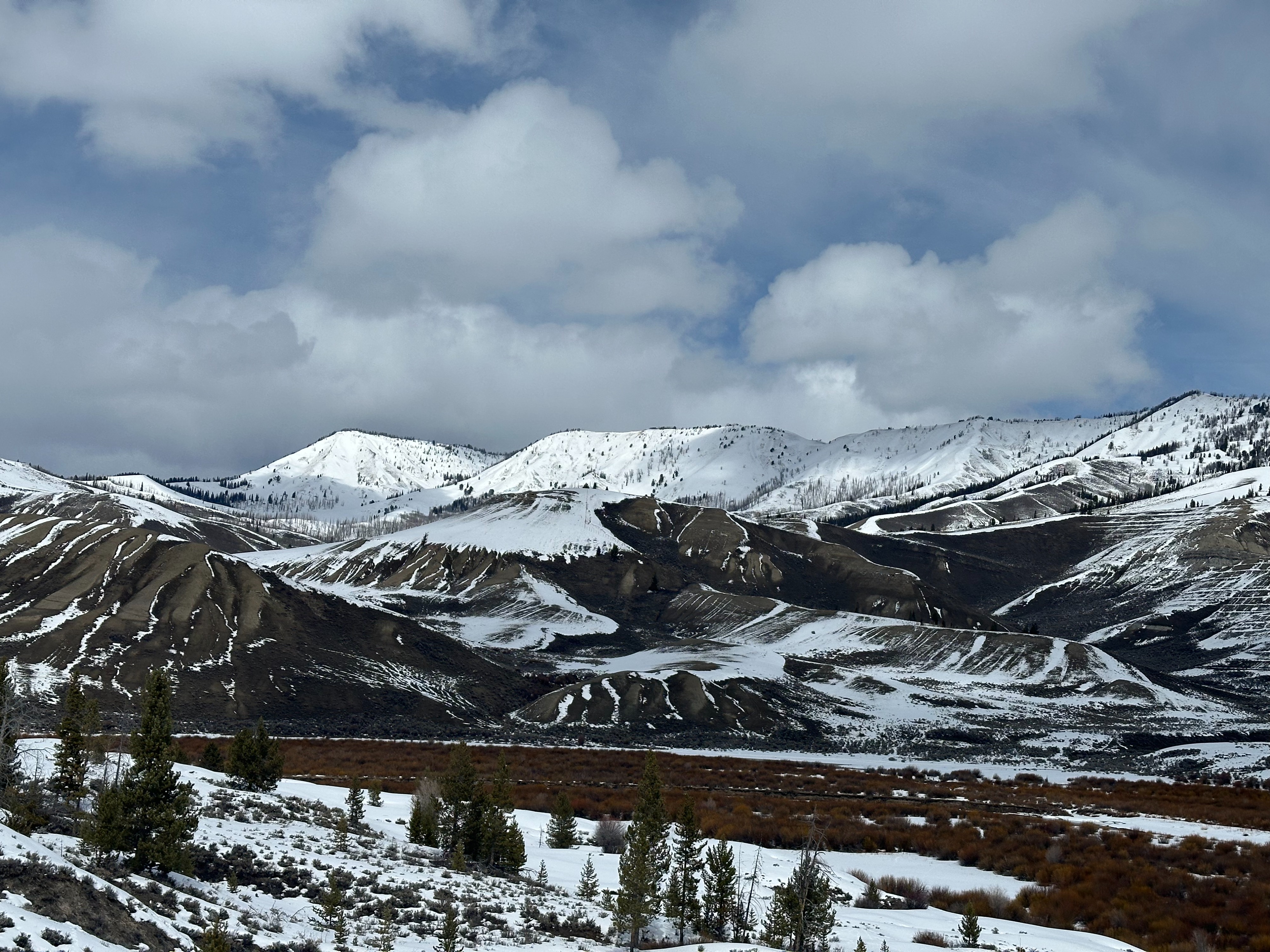
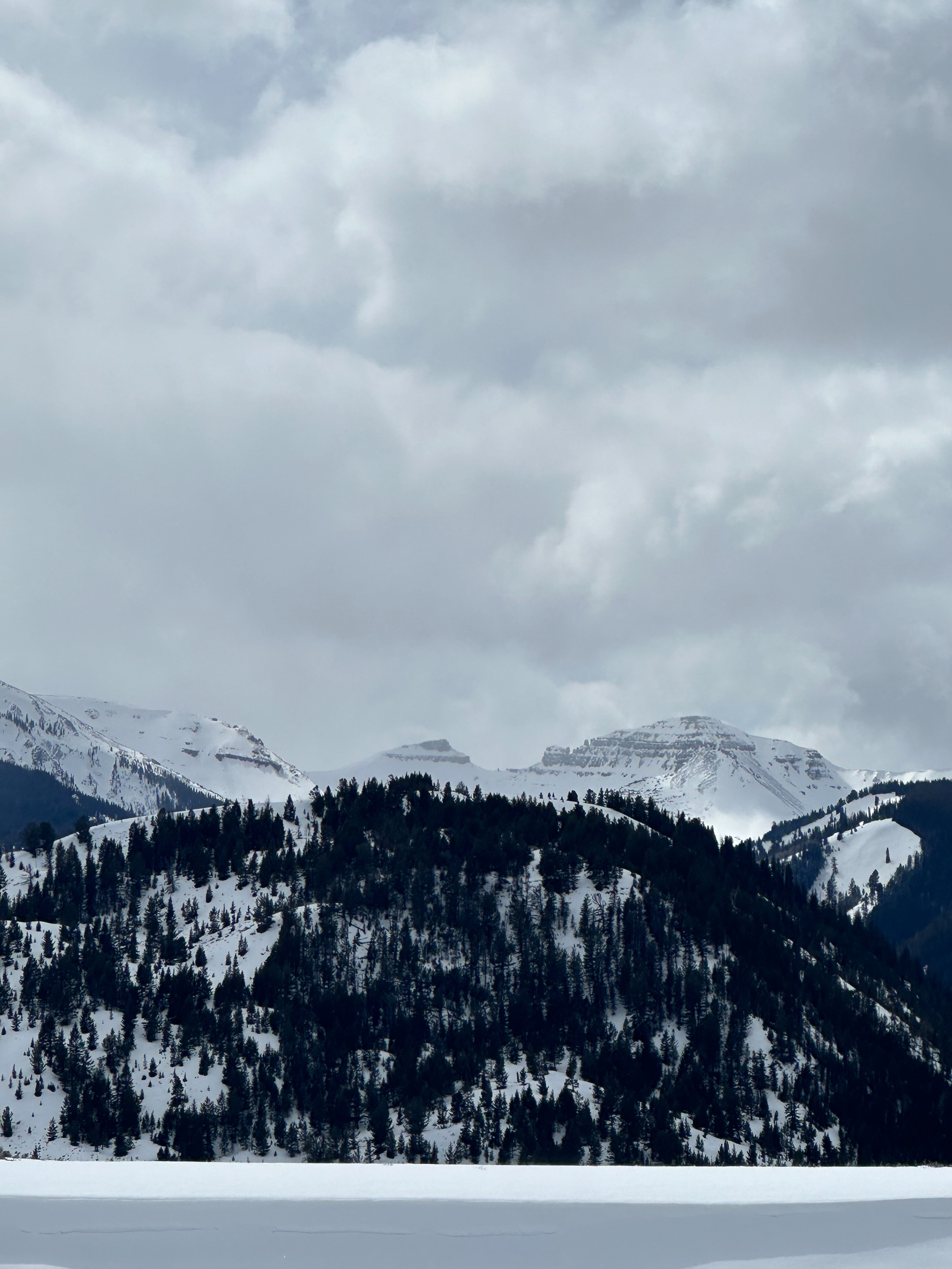
Low snow coverage through the southern end of the Togwotee forecast zone. Many of the low-elevation southern slopes have melted completely. North-facing slopes hold 1-2 feet of snow while east and west aspects hold slightly less at middle elevations. Yesterday's snowfall brought 1-2" of new snow giving many of the riding trails a small refresh. Winds were calm throughout the day. Cloud cover increased through the afternoon. There were signs of wind-transported snow. The snowpack deepens incrementally as you move north through the zone or gain higher elevations. More snow is available for transport and wind slabs may have formed despite a misleading lack of snow (very shallow snowpack). The snow-covered aspects formed a crust on 3/23, similar to the Tetons and Greys zones. While I didn't see any reactivity on this layer due to limited snow amounts, the farther north you travel, the more likely you are to find reactive wind slabs on this well-developed crust.
No signs of instability were noted.Weather
- Cloud Cover
- scattered
- Wind Loading
- none
- Recent Snowfall
- 4
- Snow Avail For Transport
- small smounts
Partly cloudy skies in the morning with increasing clouds through the afternoon. Winds were calm throughout the day. Temperatures climbed to the mid-20s.