
Quick report
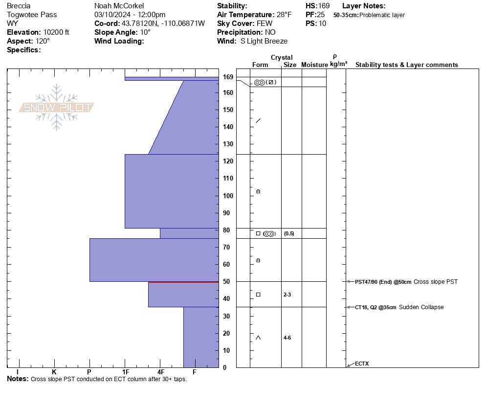
Toured up Breccia Peak to see how the snowpack in the Togwotee Pass area is progressing after the recent storm. In this area, just over a meter (3.5') of well bonded snow sits on top of faceted snow that formed during the December drought. Stability tests from a pit on a southeast facing slope at 10,200' indicate that impacting this weak snow is difficult, but not impossible. Any avalanche involving weak snow at the base of the snowpack will be large.
Winds have redistributed the snow above 10,200' resulting in shallow, scoured areas as well as deep drifts. We did not find any obvious wind slabs. Crusts are present on sunny aspects (E-SE-S-SW). Snow surfaces are still dry on shaded aspects. Crusts had not yet softened as of 1pm. Wet loose activity today will most likely be limited.
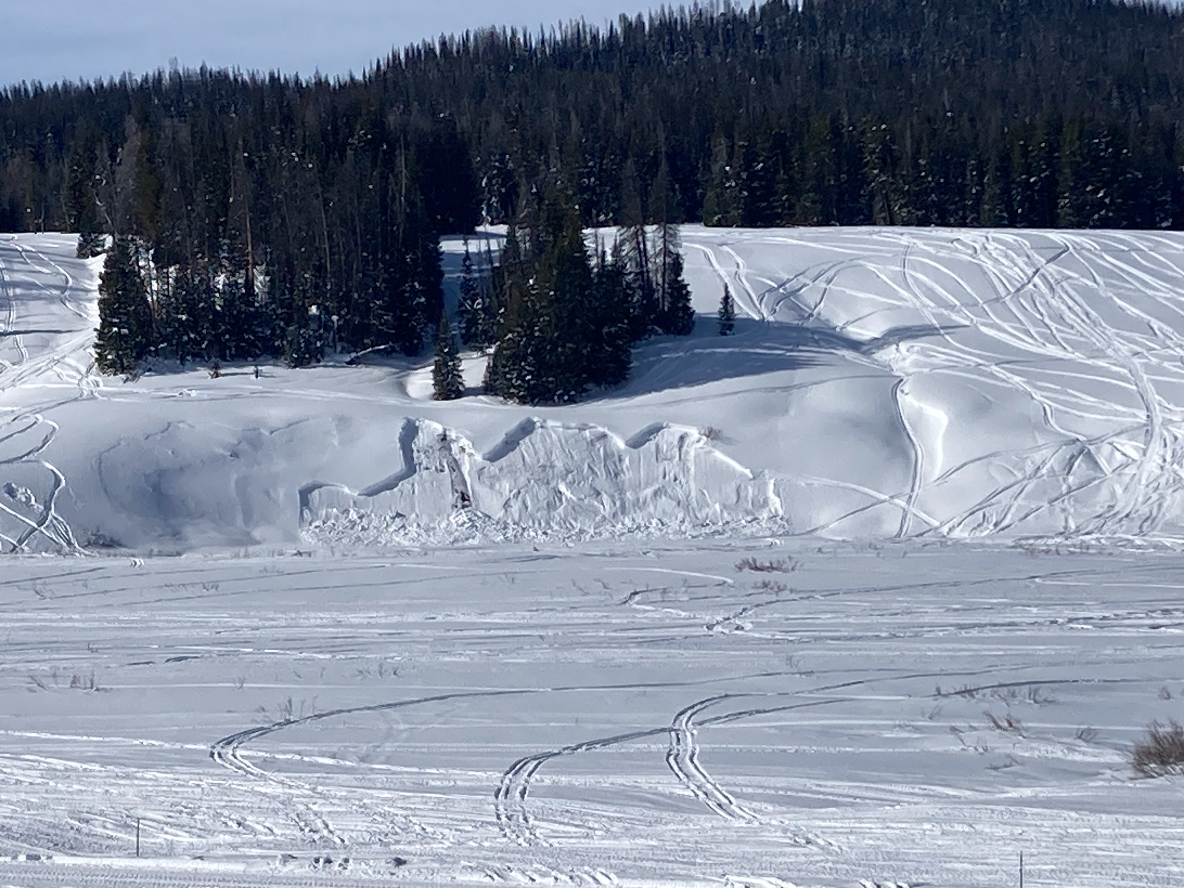
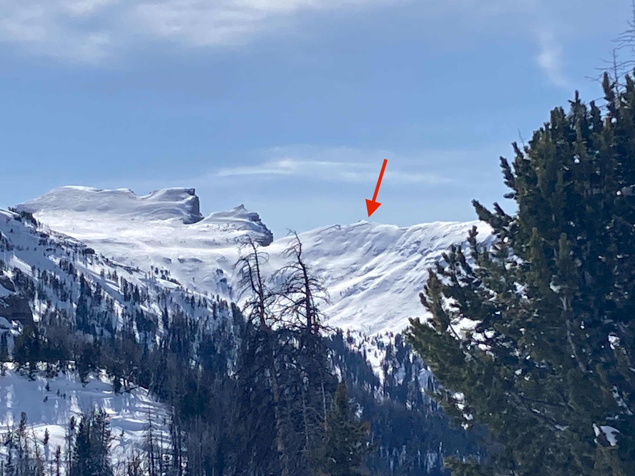
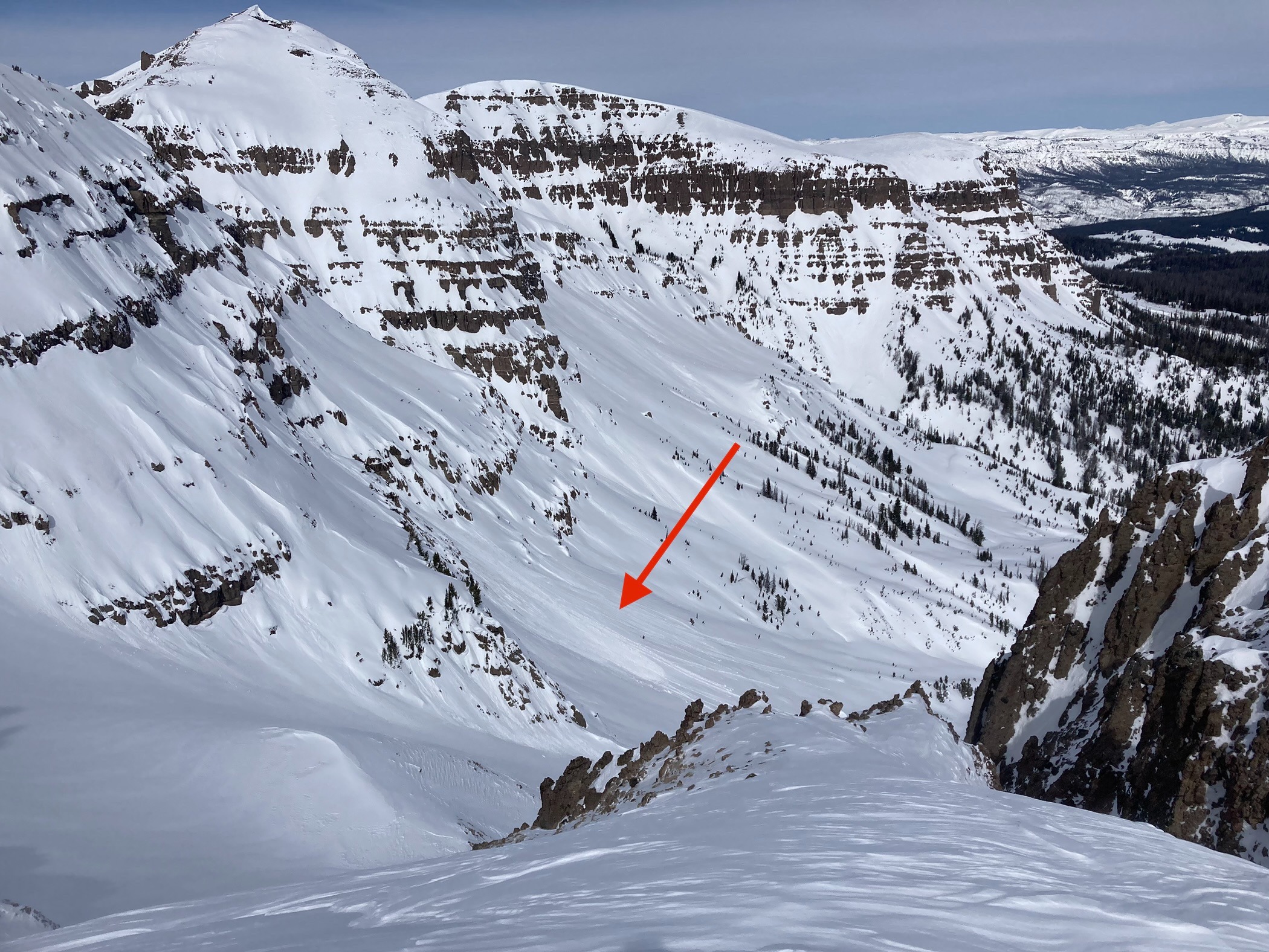
We observed several notable old avalanches. The first was a wide propagating avalanche on a steep and rocky north facing slope on the backside of Radio Tower Peak. The second was a deep snowmobile triggered avalanche on a small, but steep cutbank visible from the road. This avalanche failed on facets near the ground.
Did not observe any recent signs of instability. Observed some old cracks and several old avalanches (see attached events). We noted one cornice fall that triggered a small avalanche.Weather
- Air Temp
- 28
- Cloud Cover
- few
- Snow Avail For Transport
- small smounts
Mild temps and breezy out of the south. High clouds began to develop around noon.
Snowpack
See attached pit.
Avalanche
- Size
- D2 R2
- Count
- 2
- Aspect
- N
- Trigger
- N
- Elevation
- 10800 ft